Get Lost Mountaineering
You are here: Scotland » 02 River Tay to Rannoch Moor » Bridge of Orchy & Tyndrum Hills
Beinn Odhar, Beinn Chaorach, Cam Chreag, Beinn nam Fuaran & Beinn a' Chaisteil
Beinn Odhar, Beinn Chaorach, Cam Chreag, Beinn nam Fuaran & Beinn a' Chaisteil from A82 N of Tyndrum
Start/Finish
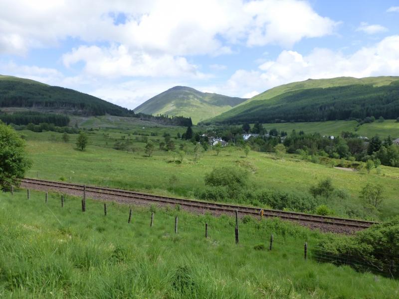
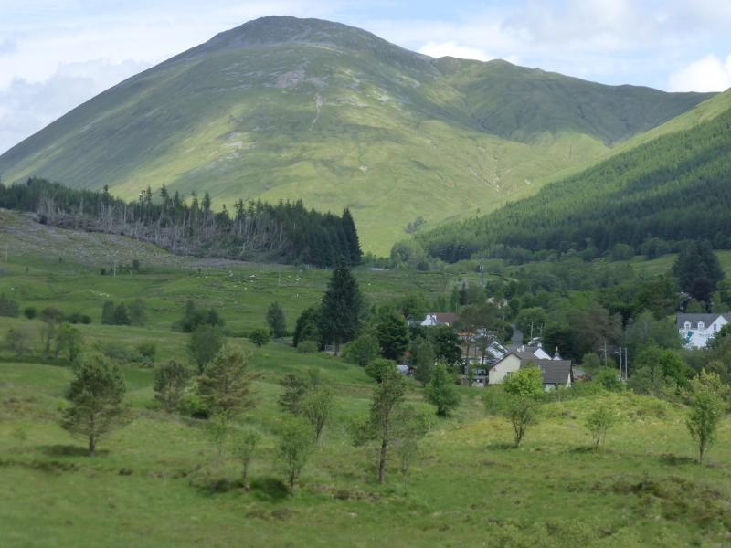
From Tyndrum, drive N on the A82 up the bends and to the end of the first long straight. Here there is a car park on the right, close to the railway and opposite the end of a wood. Just after this car park, the road swings away to the left.
Distance/Time
23 km Approx 11 hours.
Peaks
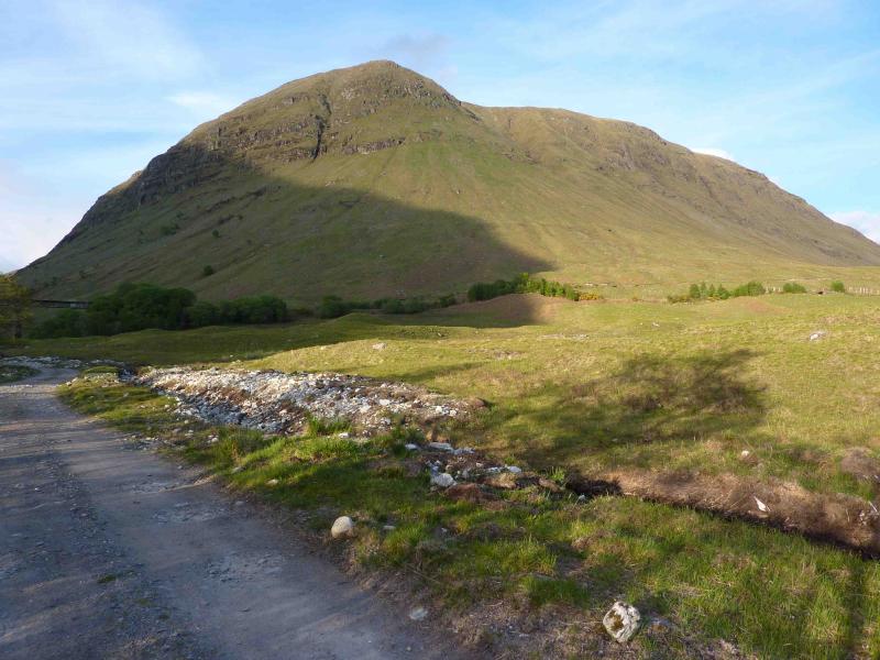
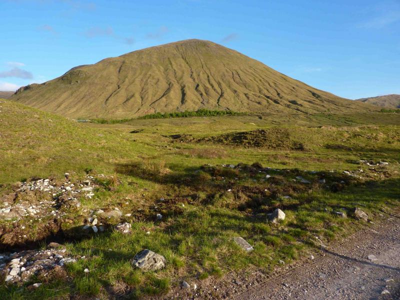
Beinn Odhar, 901 m, NN 337 339.
Beinn Chaorach, 818 m, NN 358 328.
Cam Chreag, 884 m, NN 375 346.
Beinn nam Fuaran, 806 m, NN 361 381.
Beinn a’ Chaisteil, 886 m, NN 347 364. OS Sheet 50.
Introduction
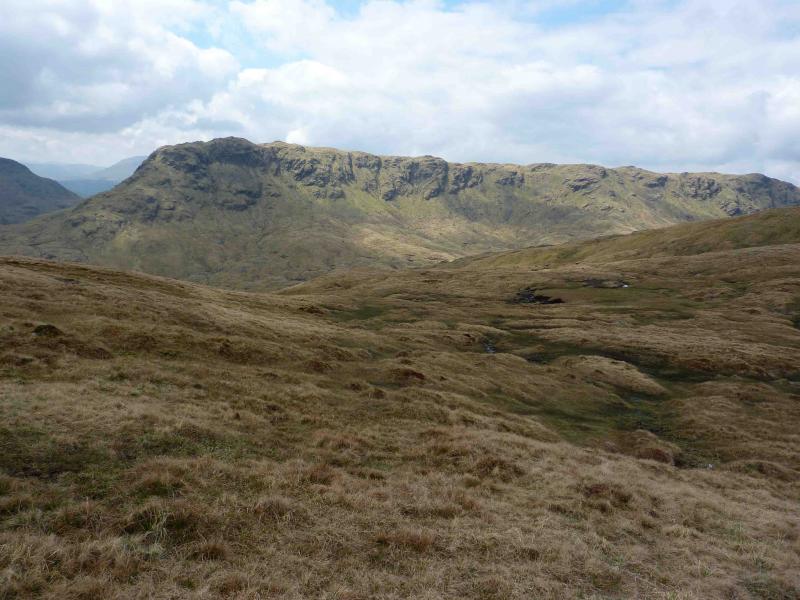
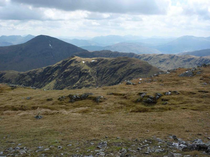
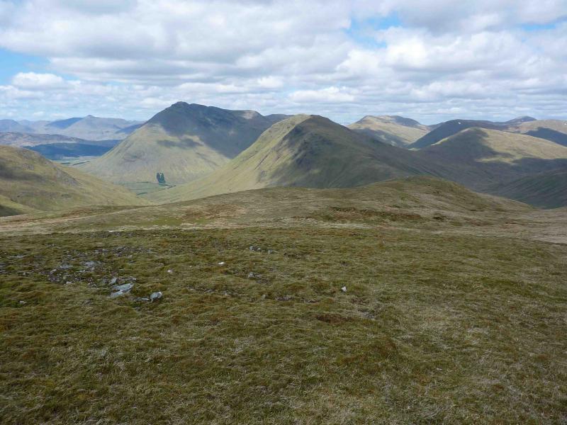
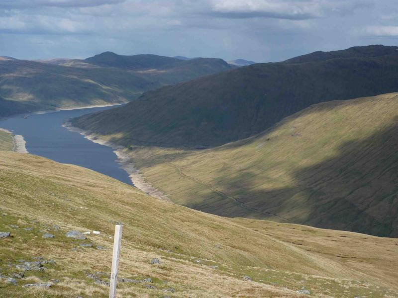
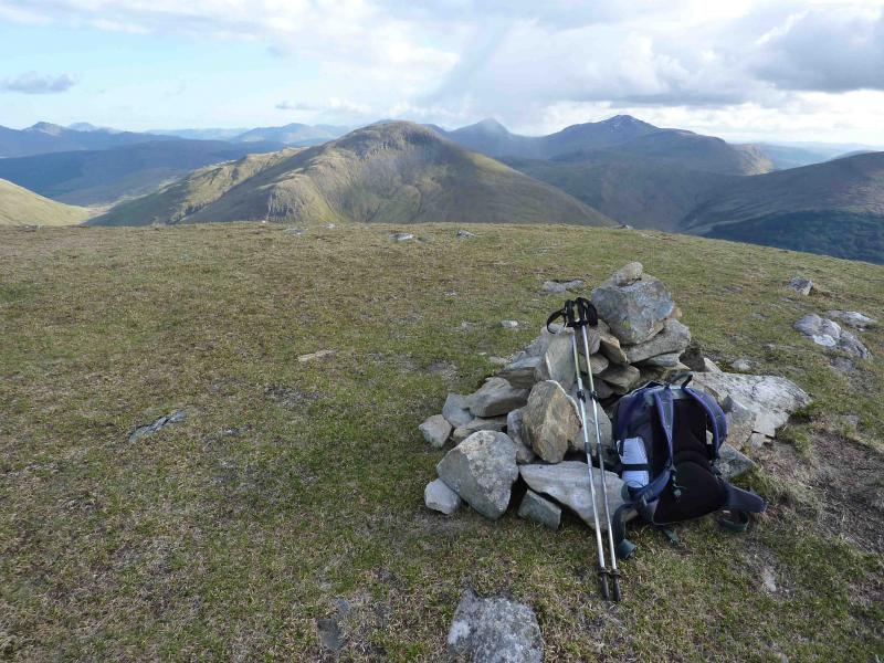
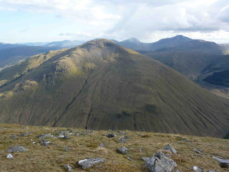
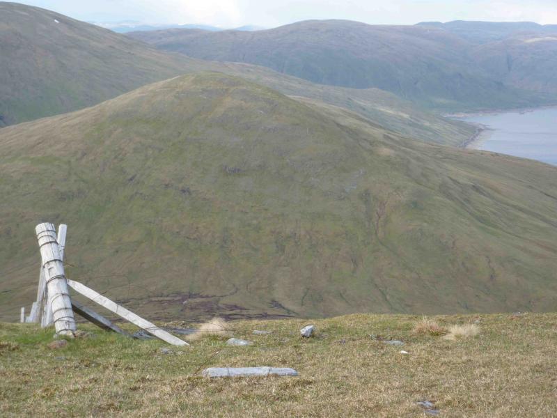
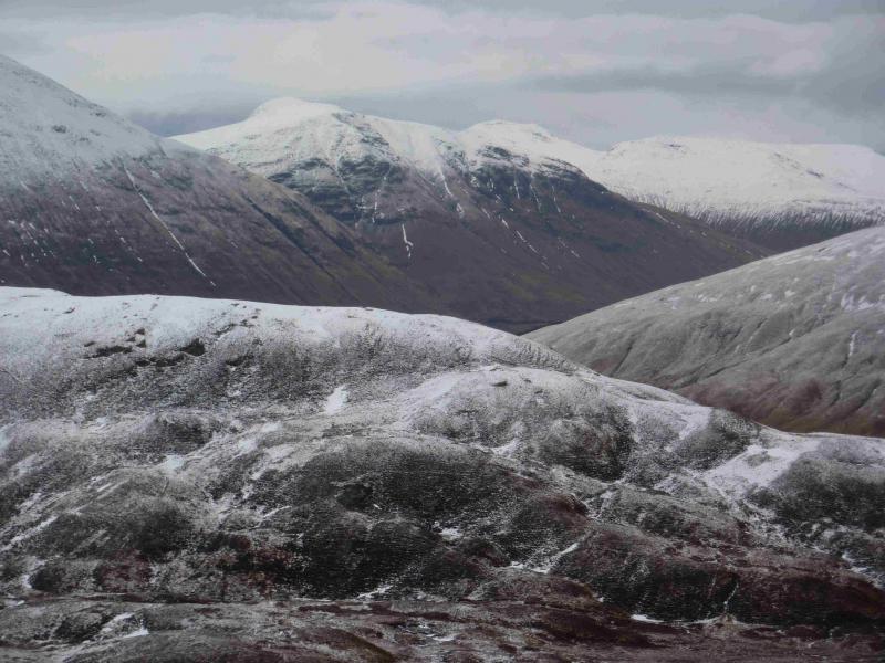
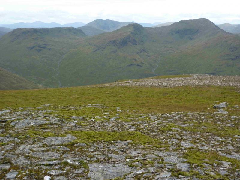
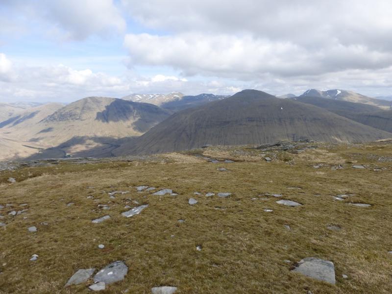
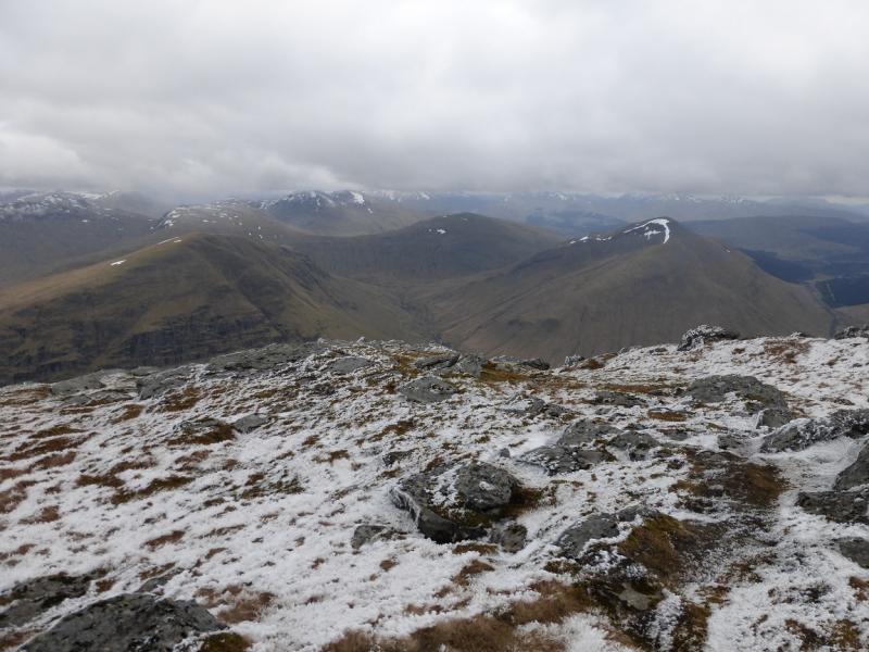
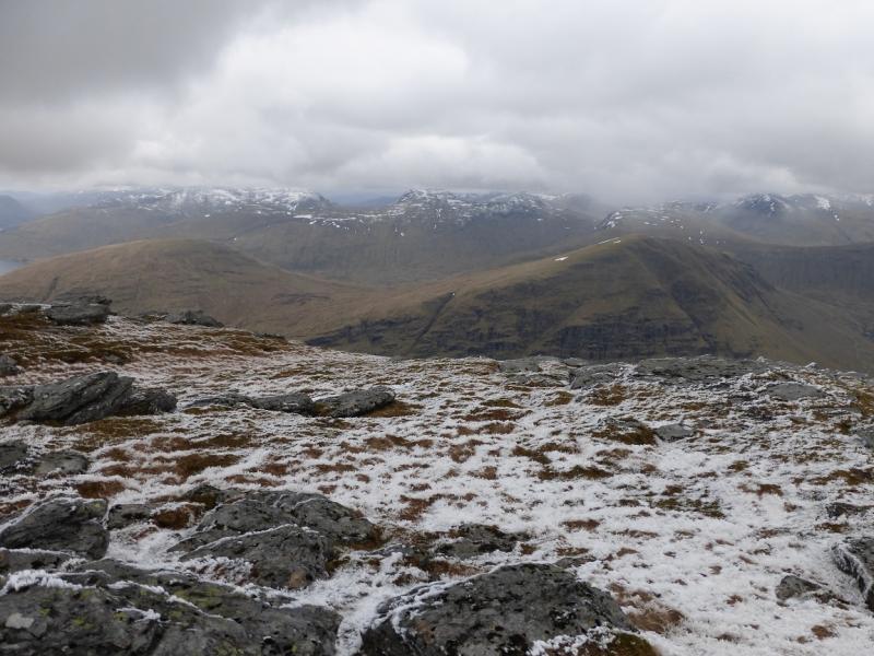
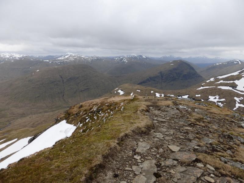
This is a very tough walk with a very steep climb at the start, deep bealachs with more steep climbs and little in the way of paths but the views on a clear day are as good as they get and include Ben Nevis, the Glen Lochay hills, Crianlarich hills, Ben Lui hills, Black Mount, Ben Alder, Ben Lawers. In extra clear visibility, even the Cairngorms and Ben More on Mull are visible. The walking is made tougher by not making the most of the natural ridges of the mountains. To do so would lengthen it considerably. In winter conditions, crampons and ice axe would be needed and the short days would be a problem. This walk is sometimes referred to as The Tyndrum 5 Corbetts.
Route
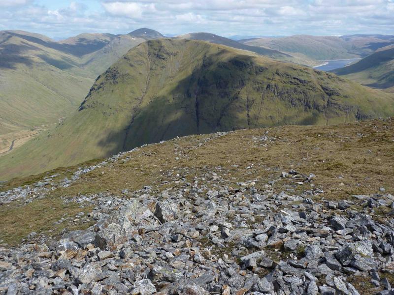
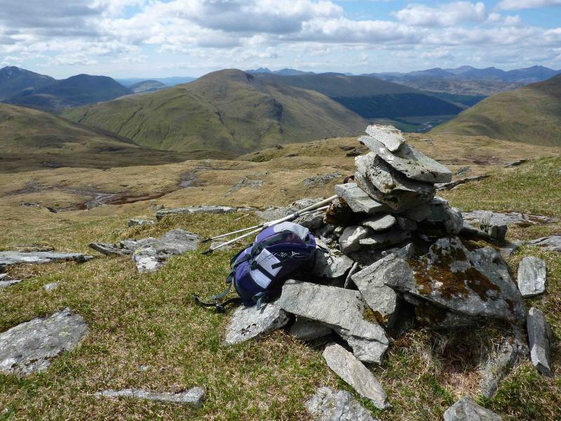
(1) From the car park, walk down the track on the left of the railway until reaching the crossing used by the West Highland Way (on the far side of the railway at the car park). The slopes above are very steep grass. Walk back along the West Highland Way until a fence is seen going straight up the side of Beinn Odhar. Either follow this up the steep grass or traverse the slopes SE to reach a well defined ridge which leads up on to a flatttish shoulder containing a lochan (lochan may not be visible until above the shoulder). Above the shoulder is a conical grassy/rocky mound on which there is the large summit cairn of Beinn Odhar, 901 m.
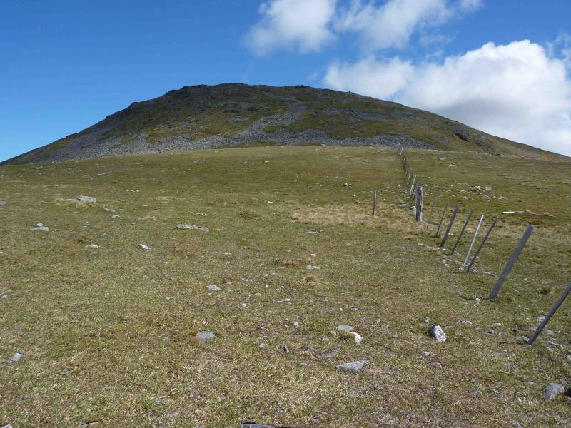
(2) Descend SE on easy grassy slopes to a shoulder which holds a small lochan. A fence runs close to the lochan. Follow the fence to where it splits. One branch is an old electric fence (mainly low double sets of posts) which goes roughly E down steep grass into the deep bealach between Beinn Odhar and Beinn Chaorach. There is a cairn about 50 m NW of the bealach on the Beinn Odhar side. Continue to follow the fence E up the steep western slopes of Beinn Chaorach. When a flattish area is reached and the fence turns left, N, go S, initially following a few old fence posts which quickly peter out, for about 200 m, climbing gently, to reach the trig point of Beinn Chaorach, 818 m.
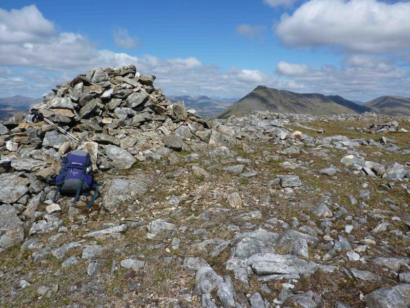
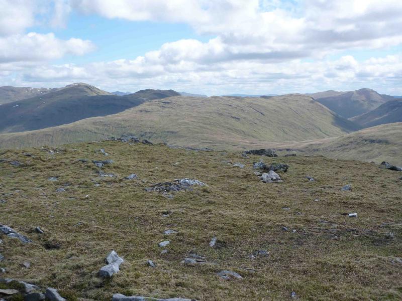
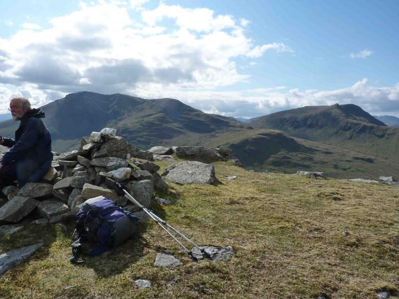
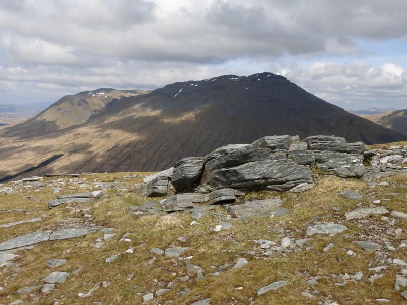
(3) Return to the main fence and follow it NNE down to a wide grassy bealach where the fence has an iron box on a tall post which is probably the remains of an old wind generator. Continue NNE on a hint of a path then NE then E to gain the summit ridge of Cam Chreag, 884 m. The small summit cairn is at the left, NW, end of the ridge.
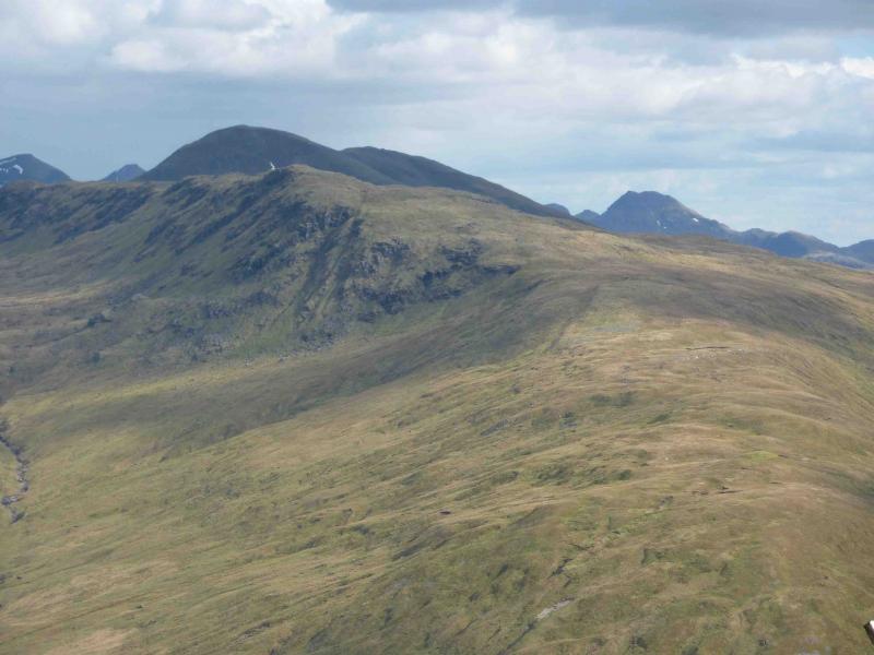
(4) Descend NNW on a broad, ill-defined grassy rocky ridge. If a fence is encountered, follow it down on to the long grassy NNW ridge until the fence goes off W. Descend the long grassy ridge on hints of paths to reach the Abhainn Glas (which feeds Loch Lyon) where there is a small ruin. Ascend NNE on grassy slopes, which can be hard going, to reach the ENE ridge of Beinn Nam Fuaran. Follow this ridge up to meet a fence which leads to the small summit cairn of Beinn nam Fuaran, 806 m.
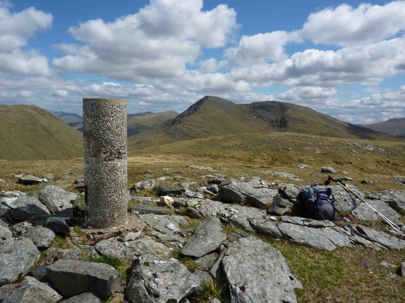
(5) Descend SW following the fence which goes down steep rocky/grassy slopes to reach a wide peaty bealach. Follow the fence up the other side, on intermittent paths, gently then more steeply, to reach a small flattish area where there is a medium cairn marking the summit of Beinn a’ Chaisteil, 886 m.
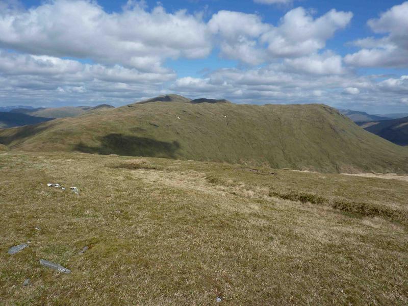
(6) Descend SE following the fence, on intermittent paths, to outflank the crags on the SW face. Once these are passed, descend SW to the track in Glen Corsian. Follow track to the railway viaduct (not the first one which is visible) where it joins the main track up Gleann Ach’-innis Chaillen. Continue, past a house on the left, to a “crossroads” with the West Highland Way. Turn left, S, and follow the West Highland Way to where it crossed the railway earlier but this time do not cross and stay on the track to reach the car park. The return can take three hours.
Notes
(a) This walk took place on 26th May, 2010.
Photos - Hover over photo for caption. Click on to enlarge. Click on again to reduce.