Get Lost Mountaineering
You are here: Ireland » South West » Iveragh Peninsula
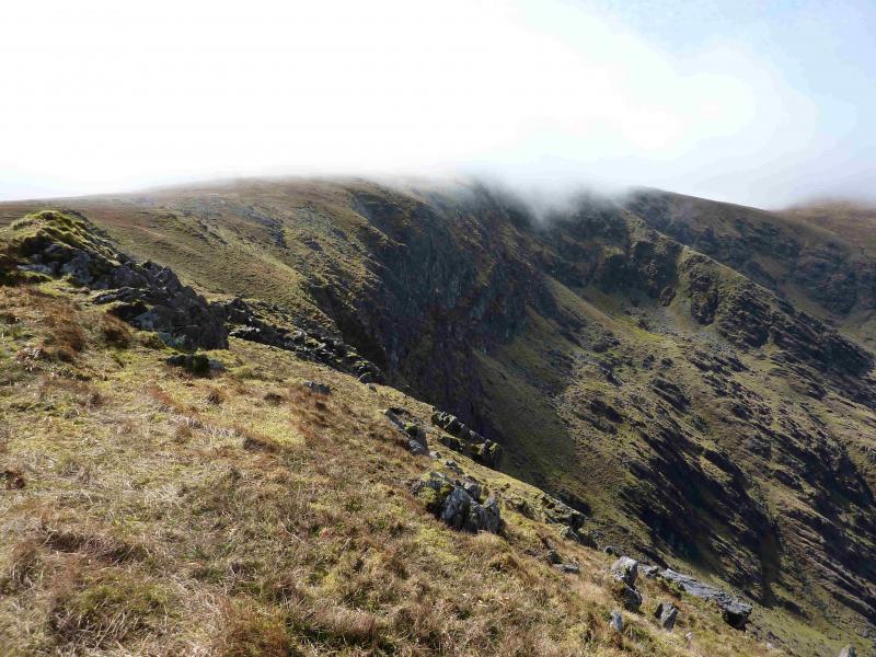
Coomcallee from N
Coomcallee from N
Start/Finish
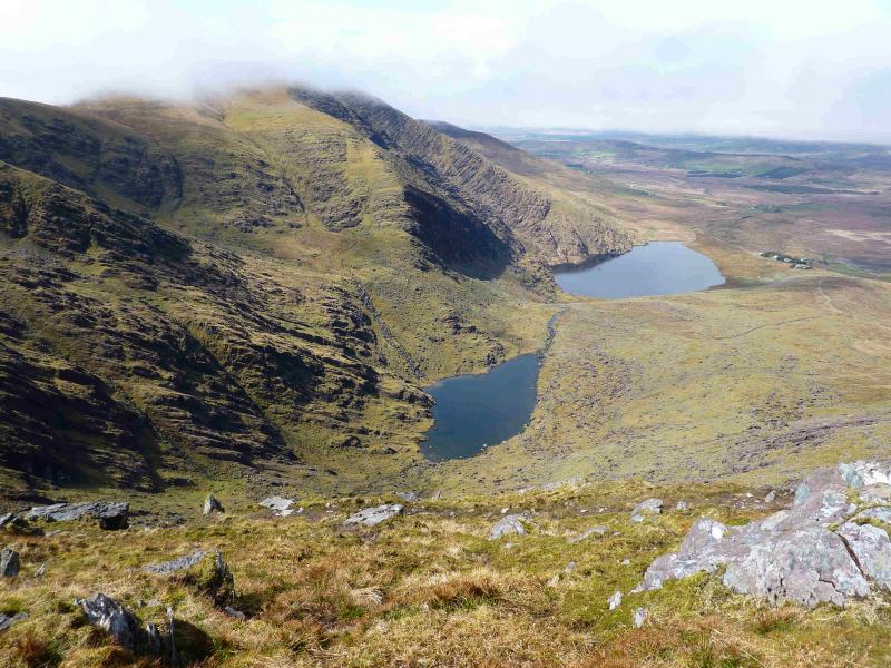
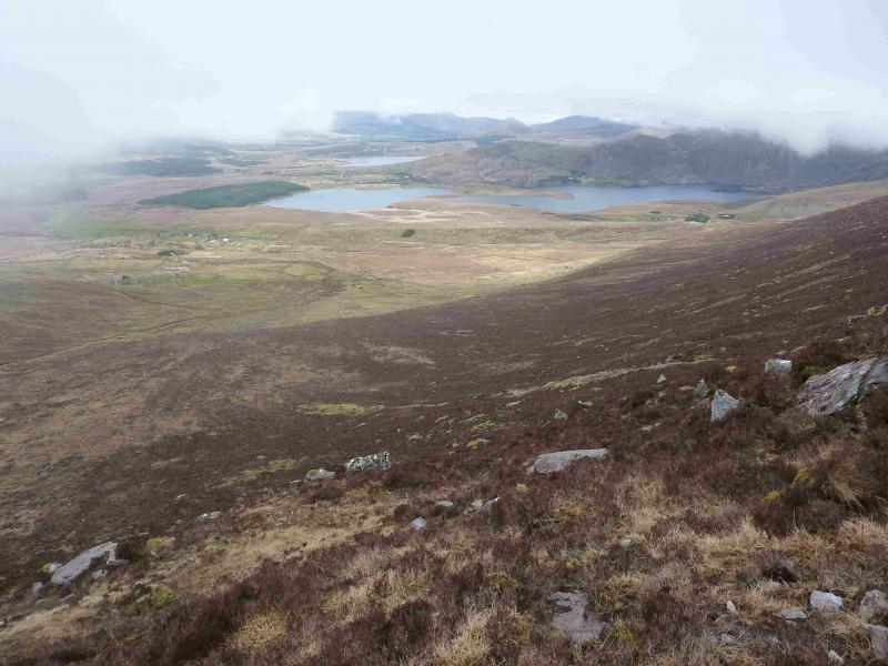
Lough Isknamacteery which is at the end of a monir road from Waterville on the Ring of Kerry. Approaching Waterville from the north (Cahersiveen & Killorglin), the road swings right at a church about 1.5 miles N of the village. Stay on the main road and enter Waterville. Lokk for a short road on the left where there is a small supermarket. Go up this road then across the road at the top which is signed (not obviously) for Lough Currane and Church Island. It is about 6 miles to the end of the road. There is limited parking. Don't worry about parking back along the road as the final mile of the road has to be walked at the end.
Distance/Time
13 km About 5 hours
Peaks
Coomcallee, 675 m, V 593 682.
Coomcallee E Top, 650 m, V 624 677. Irish OS Discovery Series Map 83 (1:50000)
Introduction
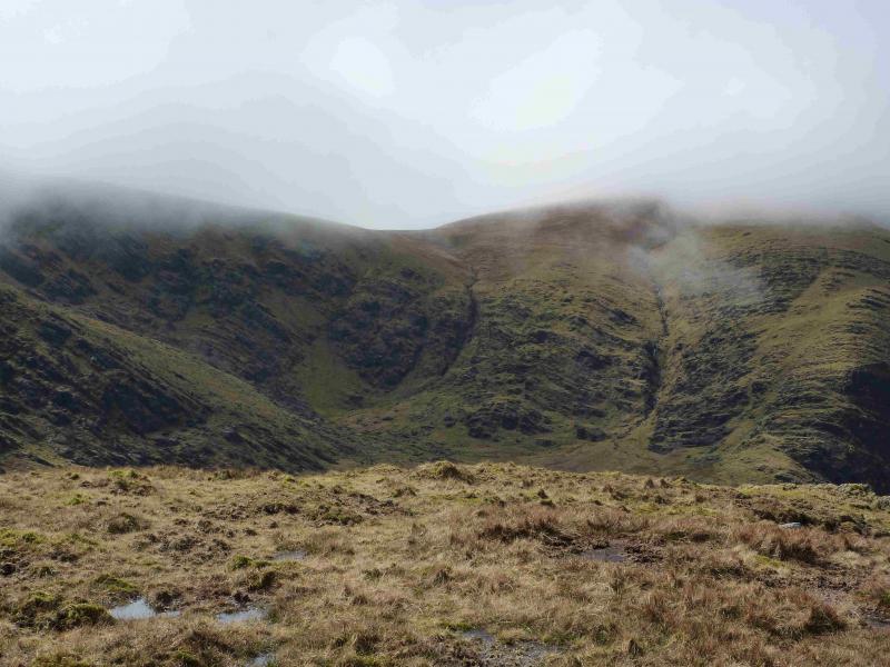
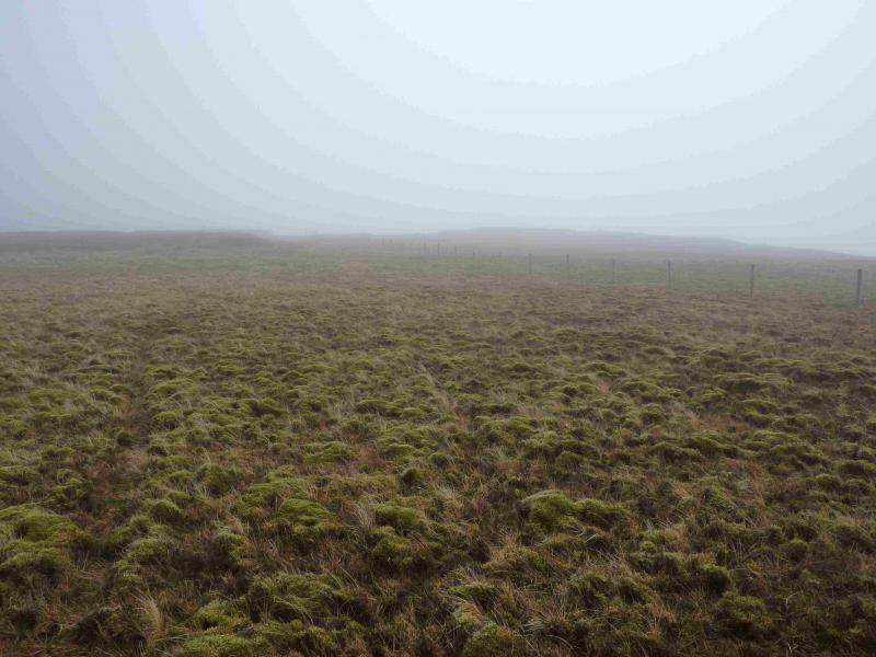
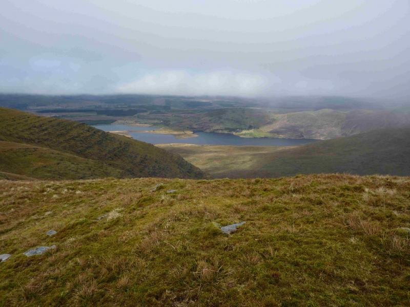
This is a very scenic and interesting walk on a clear day. In fine weather, there are excellent views of the surrounding hills and coast. There is some doubt, both on the map and in the guide book about which top is Coomcallee. The OS map has it as the East Top. The guide books do not give much in the way of detail, especially the recognition of the summits so tread warily or go up on a good day! The main top and E top summits were checked with GPS and match the map but Irish OS maps are not brilliantly accurate so don't expect your GPS summit reading to be in perfect agreement with the map. The ground on the crest is mainly grassy and mossy. The approach from the S is recommended in bad, misty weather and is covered in a separate walk.
Route
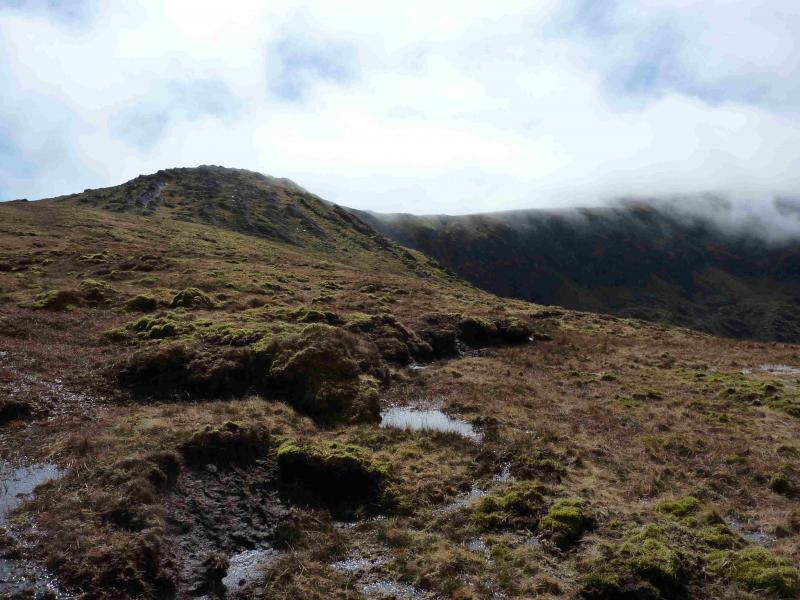
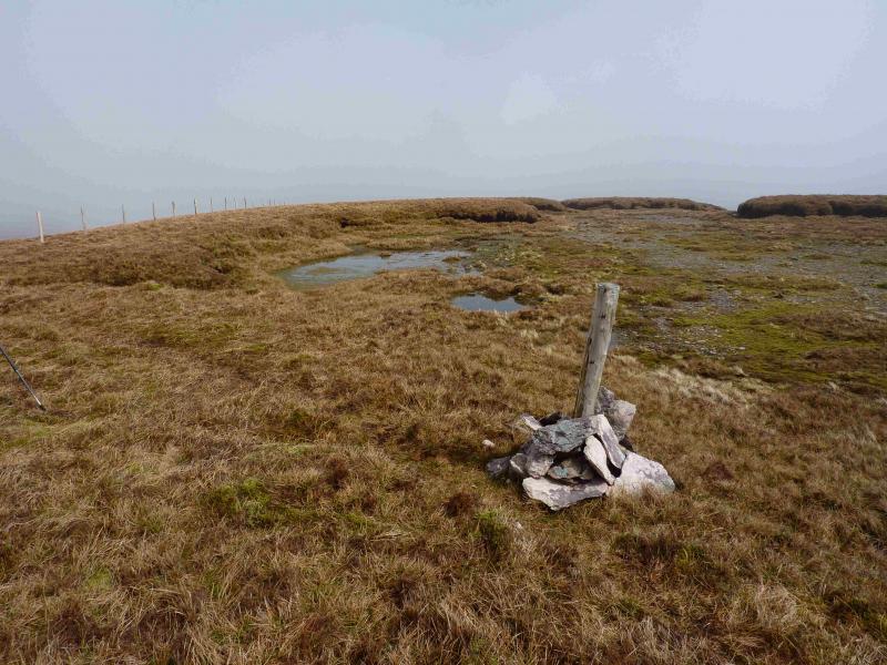
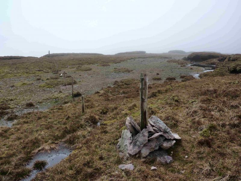
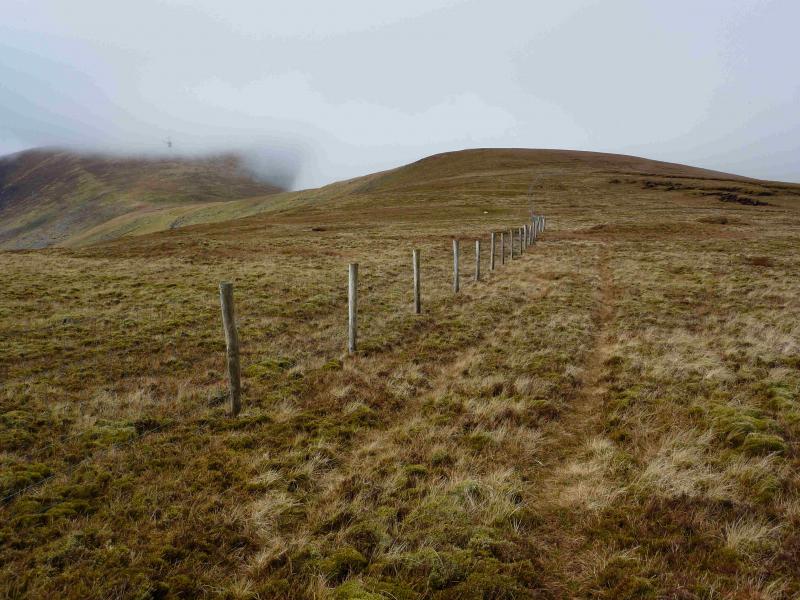
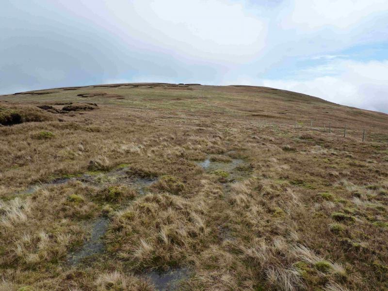
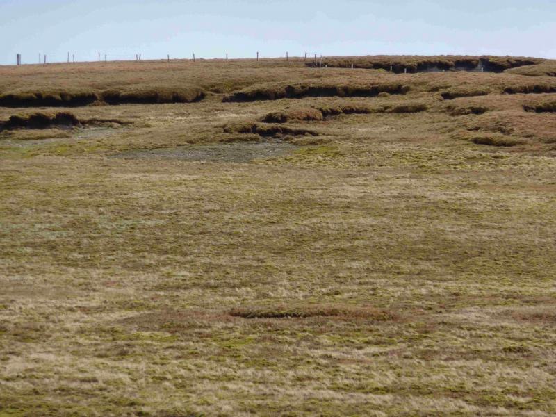
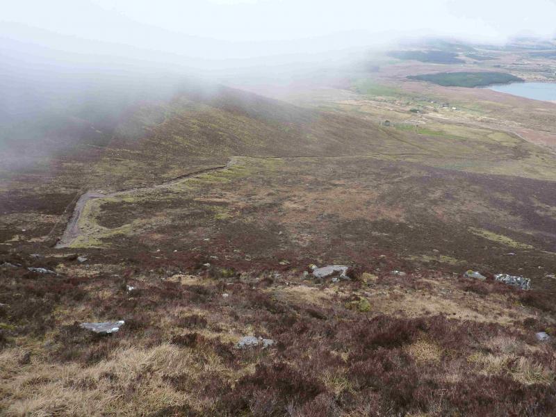
(1) At the end of the road, two tracks take over. To the right is a farm track (shown on the map) which goes past a barn then through a gate before heading SE uphill. Walk to the end of the track then gain the crest and follow it around the edge of the corrie over Top 572 (no cairn). When the ridge broadens, walk up its centre to reach Top 642 (no cairn). Continue in the same direction to soon meet a fence running SE – NW. Follow the fence SE, descending slightly before a gentle ascent leads through some raised peat hags. Just after the fence passes closely to the right of a peat hag, an old fence goes off to the right. About 20 m along this fence is a small cairn around a fence post which is the summit of Coomcallee E Top, 650 m. A small lochan, not on the map, lies just to the E.
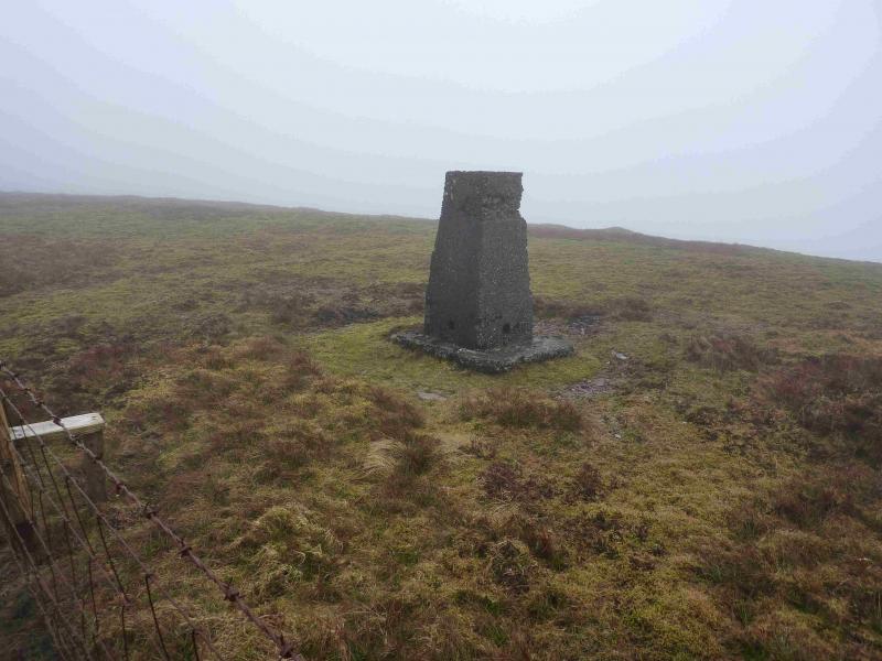
(2) Follow the fence back past Top 642 to a col. Follow the same wire fence, mainly W, uphill to reach a flattish area of peat and gravel. The fence turns right at the point where it meets an old fence (which goes off at about 10 o'clock). Follow the same wire fence across a flat area before it turns left, W, with a slight descent before a similar ascent leads to the trig point which seems to mark the summit of Coomcallee, 675 m. The summit is the wrong side of the fence but there is a stile. There is also a stile further back at the start of the final ascent.
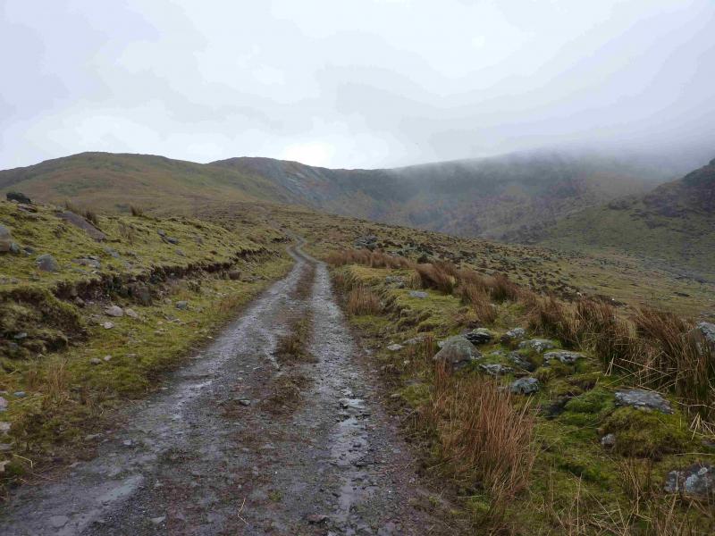
(3) Head W, still following the fence, descending gently. The fence goes left just before an outcrop. Continue ahead, W, following the now well defined ridge down. When a short flat section is reached with a short ascent after, the track is below but steep heather makes a direct descent to it difficult so stay on the crest. By now another fence has joined the crest. After the “top” mentioned above, a fence goes down to the track but, again, the descent is rough. It is easier to go to Top 484 then descend more gentle slopes to reach the track which is quite rough in its upper section. Follow the track down to the road then turn right and walk back to the car.
Notes
(a) This walk took place on 23rd April, 2013.
(b) The Fossa camp and caravan site, at V 910 923 is very good and very well situated for the Killarney mountains, especially Macgillycuddy's Reeks and Purple Mountain as it is only about 3 miles from Kate Kearney's Cottage. At Fossa, there are camping and caravanning facilities as well as a hostel and static trailer vans can also be hired. For campers, there are excellent showers (small extra charge) and there is a good campers’ kitchen with tables, sinks and cooking area if you have your own cooker and pans. Gas rings are available (small extra charge). There is also a TV room. Reception is open quite late in the high season and the staff are very helpful. A computer is available for hire and there is a freezer in reception. There is a bus stop outside the site for Killarney. There is a 24 hour Tesco which is off the northern bypass (turn right at 4th roundabout then right at next). Out of high season, it can be better for 2 people to rent a trailer van than to camp separately.
Photos - Hover over photo for caption. Click on to enlarge. Click on again to reduce.
 across Lough Currane.jpg)