Get Lost Mountaineering
You are here: Ireland » South West » Iveragh Peninsula
Broaghnabinnia & Stumpa Duloigh
Broaghnabinnia & Stumpa Duloigh from Bridia Valley
Start/Finish
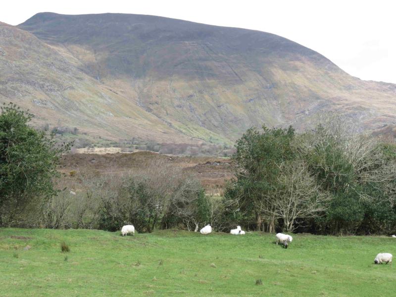
Rough parking space just past Stepping Stones Cafe which is about 5 miles up the Bridia Valley. From Fossa, take the Killorglin road but turn off within half a mile on to a minor road signposted Gap of Dunloe and Carrauntoohil. Follow this road, ignoring all turnings for about 10 miles until it meets the road from Killorglin. Fork left and follow this road, past Lough Acoose & The Glencar Inn, for about 5 miles then fork left for the Ballaghbeama Gap. In just under two miles is a left fork for the Bridia Valley. Drive up the valley for about 5 miles and park. The cafe is usually open from 9 am to 5 pm and they offer good advice on walking the local hills as well as offering very tasty food at reasonable prices served in comfortable surroundings.
Distance/Time
12 km About 8 hours
Peaks
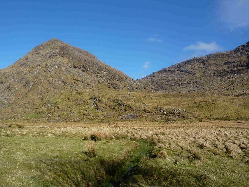
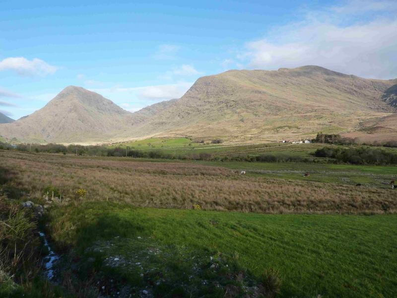
Broaghnabinnia, 745 m, V 802 814 (Irish National Grid System)
Stumpa Duloigh, 784 m, V 787 794.
Stumpa Duloigh W Top, 663 m, V 778 789. Irish OS Discovery Series Map 78 (1:50000)
Introduction
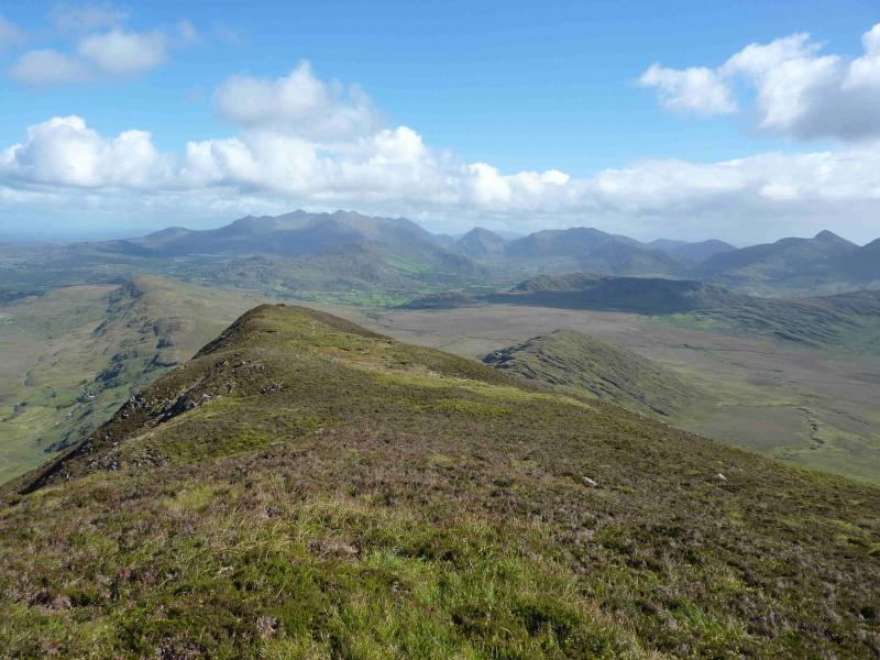
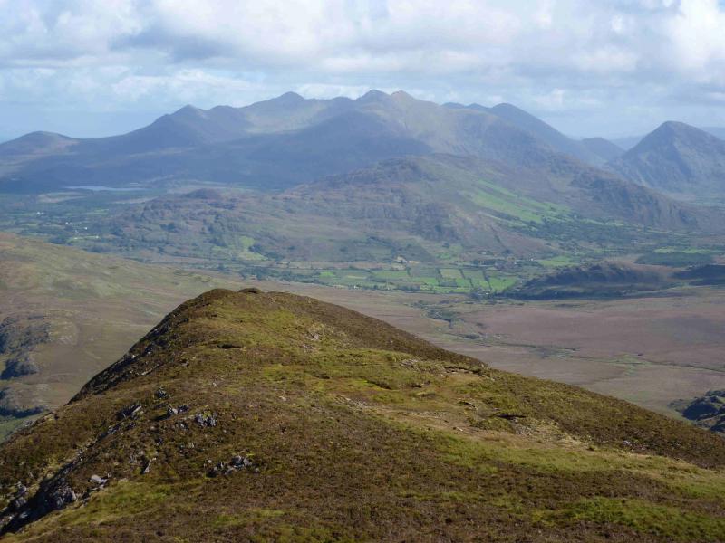
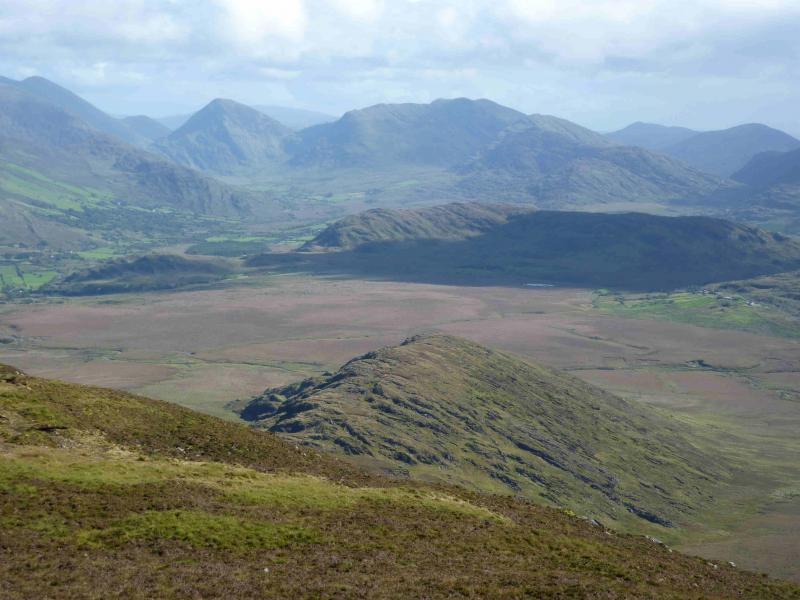
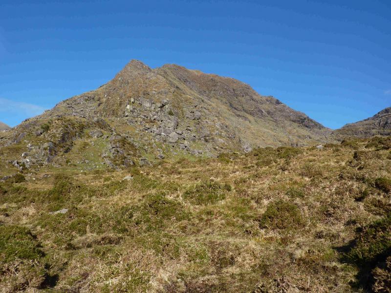
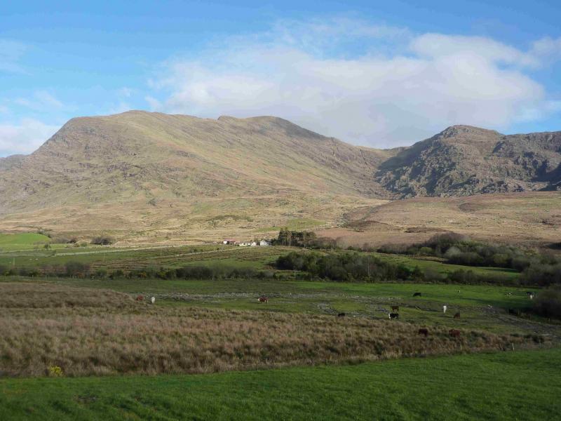
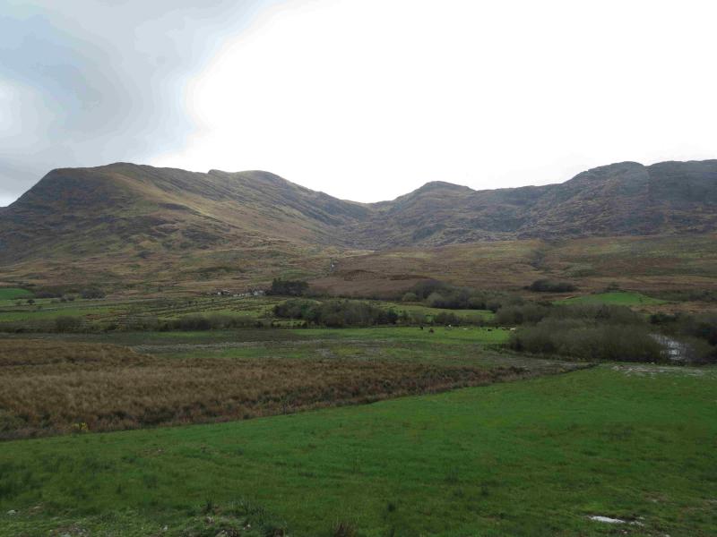
Broaghnabinnia is a very distinctive pointed peak, well seen from the west. Access to these hills is not as open as one would like. The landowners to the west of the cafe discourage walkers from crossing their land so the route is not as natural as it could be. It is well worth taking advice from the cafe owners before setting out. With a 9 am start, most walkers will return in time to partake of a delicious afternoon tea. All cakes, scones, etc are home baked and highly recommended. Stumpa Duloigh is a long ridge, again well seen from around the area.
Route
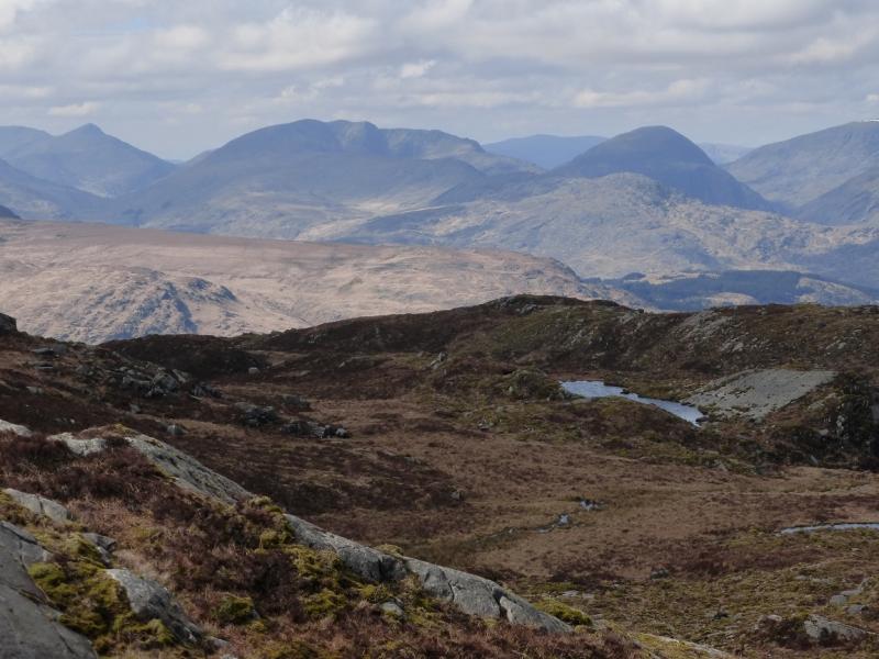
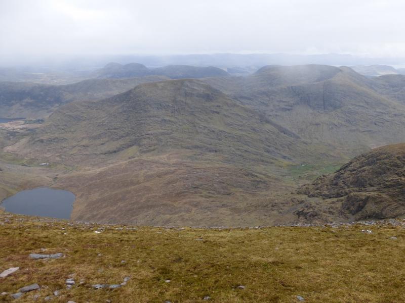
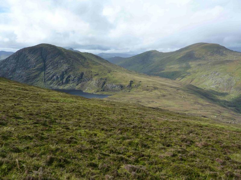
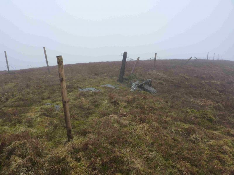
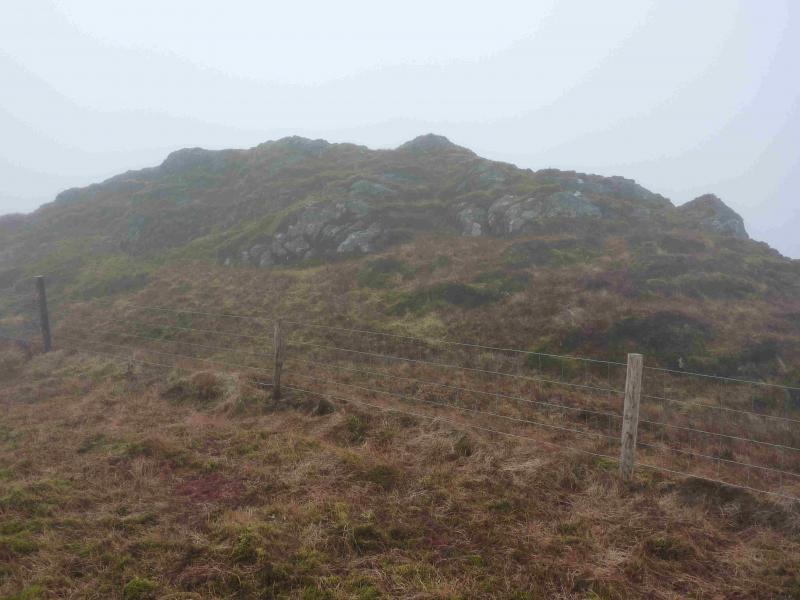
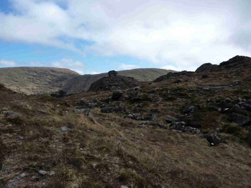
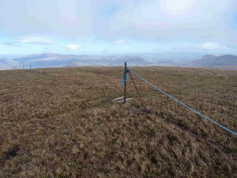
(1) Almost opposite the car park is a line of trees going down to the river. There is an old track next to them but barbed wire on top of the fence prevents access. However, a few metres to the left there is no barbed wire and the fence can be stepped over. Do not be tempted to use the gate into field by the entrance to the cafe – it leads to lots of brambles! Go down the old track, after which the ground becomes wetter but with hints of paths. Pick a way to the river which would be difficult to cross in spate. There is a natural weir/stepping stones if you look around. Across the river, continue ahead, noting a fence on the left. The ground starts to rise and soon a fence will be noticed on the right. This can be followed up on to the W ridge. Leave the fence when it drifts left and off the ridge and continue up the ridge, gradually turning S, to reach the crest of the mountain. Walk S along the undulating crest. A line of old fence posts will appear and these can be followed over a subsidiary top to reach a junction of 3 fences where there is a very small cairn (may not actually be a cairn but ballast for the fence) which marks the summit of Stumpa Duloigh, 784 m.
(2) Descend on the same line, SW, with the fence posts now being a proper fence, down grassy slopes to a col then up the other side. At the highest point of the fence is an outcrop on the left which seems to be the highest point but there is no cairn to mark the summit of Stumpa Duloigh W Top, 663 m.
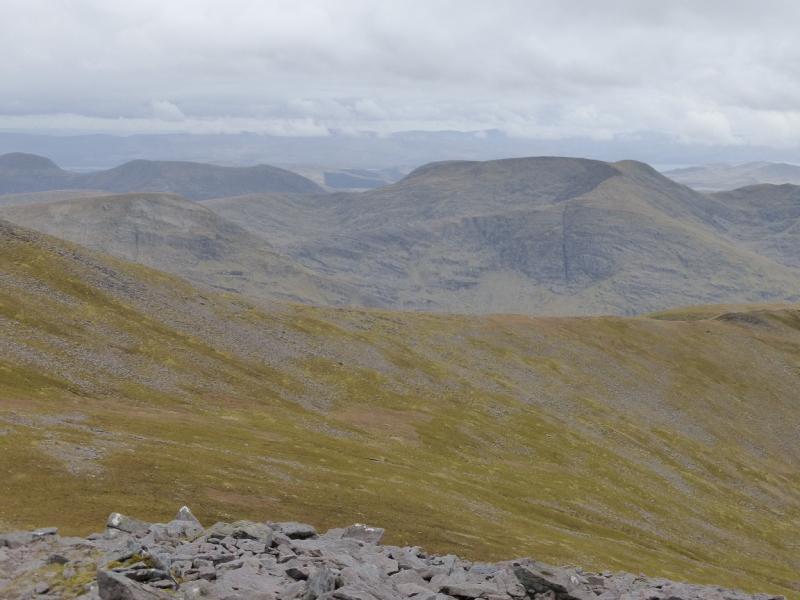
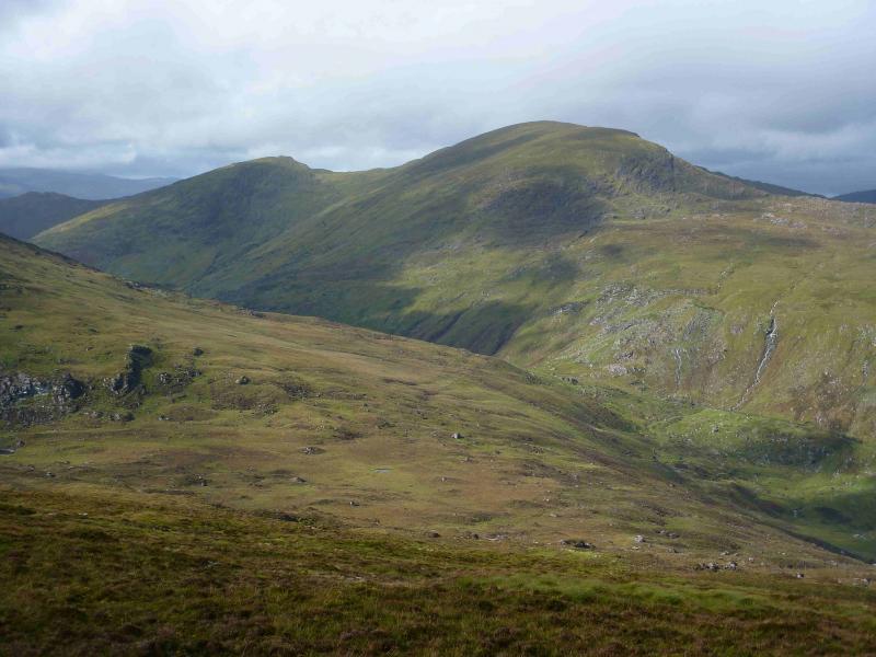
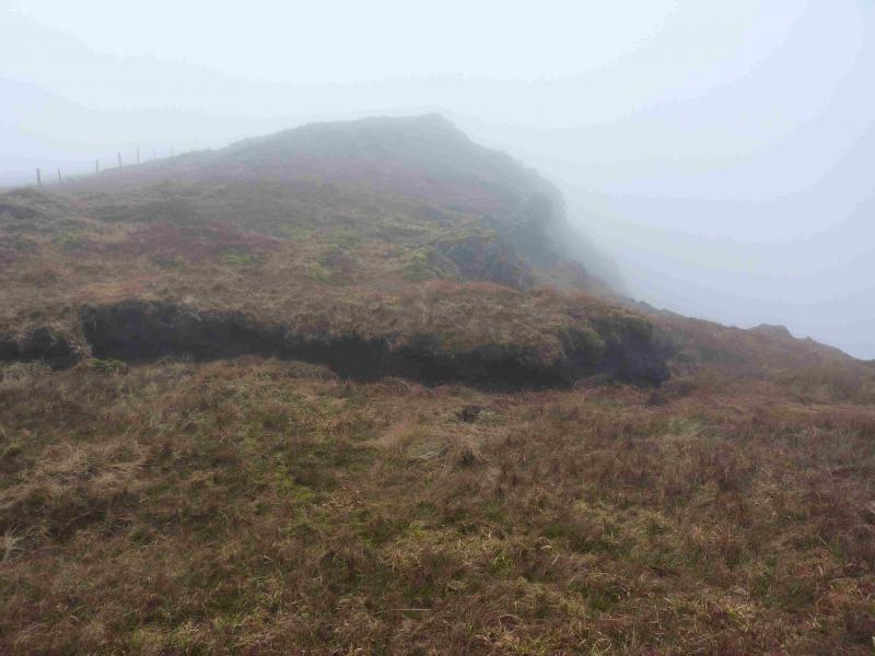
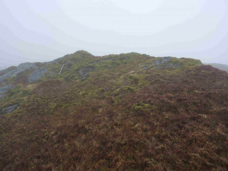
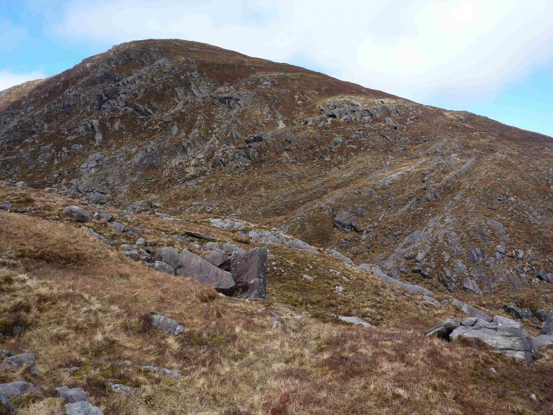
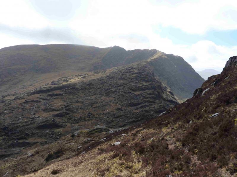
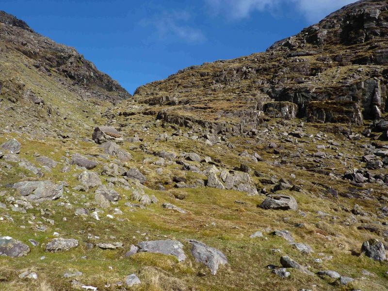
(3) Retrace to the col then back up to the summit of Stumpa Duloigh. Follow the line of old fence posts N along the crest with a steep drop on the right. When the fence posts run out, continue along the crest (hint of a path). The ridge gradually turns towards the E then more ENE and the drop on the right becomes much less steep. Follow the ridge down to the col over much stony ground with boulders but much grass in between. Even in mist, the steep side of Broaghnabinnea is likely to be seen ahead. The col is better defined on the left. To the right it is broad and gently sloping. Pick a way up the other side, going ahead, NE, to avoid the steepest ground then gradually turning N up convex heathery grassy slopes to reach the summit plateau where there is a broken fence. There is no cairn but a metal fence post appears to mark the summit of Broaghnabinnea, 745 m.
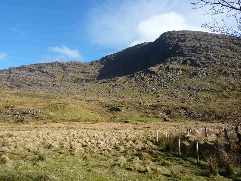
(4) Retrace down to the col and descend NW, following the stream. Aim for the right hand side of a diamond shaped green field then head for a track leading to the road. This may mean crossing some low fences and a stream which could mean a diversion if it is in spate. Walk W along the road back to the start.
Notes
(a) This walk took place on 22nd April, 2013.
(b) The Fossa camp and caravan site, at V 910 923 is very good and very well situated for the Killarney mountains, especially Macgillycuddy's Reeks and Purple Mountain as it is only about 3 miles from Kate Kearney's Cottage. At Fossa, there are camping and caravanning facilities as well as a hostel and static trailer vans can also be hired. For campers, there are excellent showers (small extra charge) and there is a good campers’ kitchen with tables, sinks and cooking area if you have your own cooker and pans. Gas rings are available (small extra charge). There is also a TV room. Reception is open quite late in the high season and the staff are very helpful. A computer is available for hire and there is a freezer in reception. There is a bus stop outside the site for Killarney. There is a 24 hour Tesco which is off the northern bypass (turn right at 4th roundabout then right at next). Out of high season, it can be better for 2 people to rent a trailer van than to camp separately.
Photos - Hover over photo for caption. Click on to enlarge. Click on again to reduce.

 & W Top from S.jpg)