Get Lost Mountaineering
You are here: Ireland » South West » Killarney to Bantry to Cork
Knockboy Range
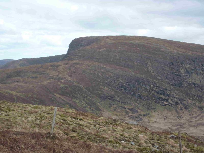
Knockboy Range from Drehideighteragh
Start/Finish
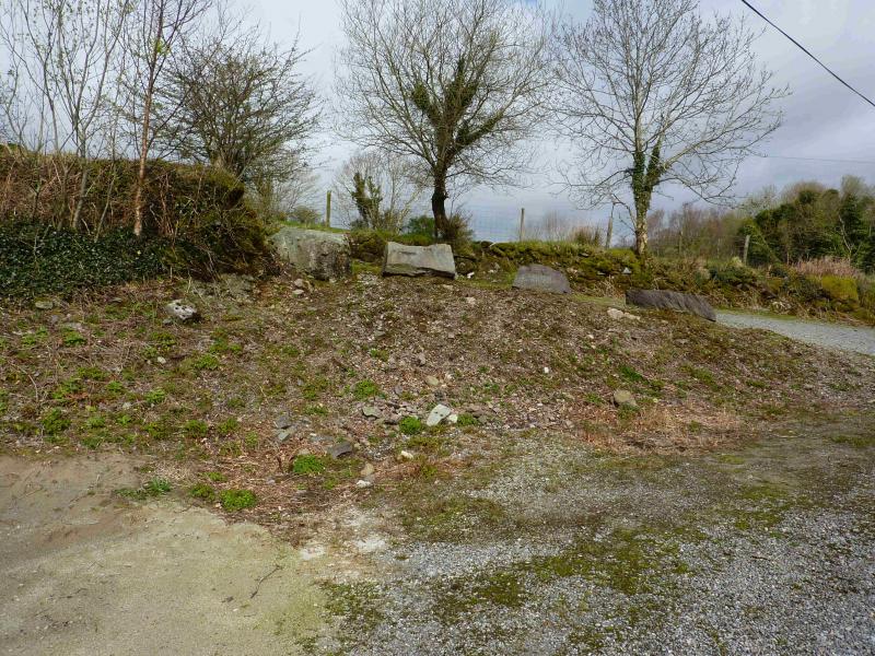
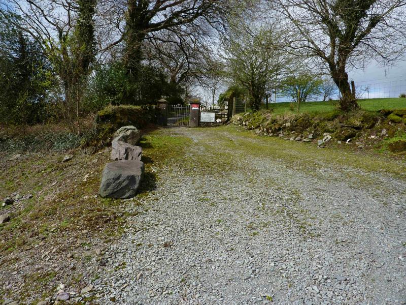
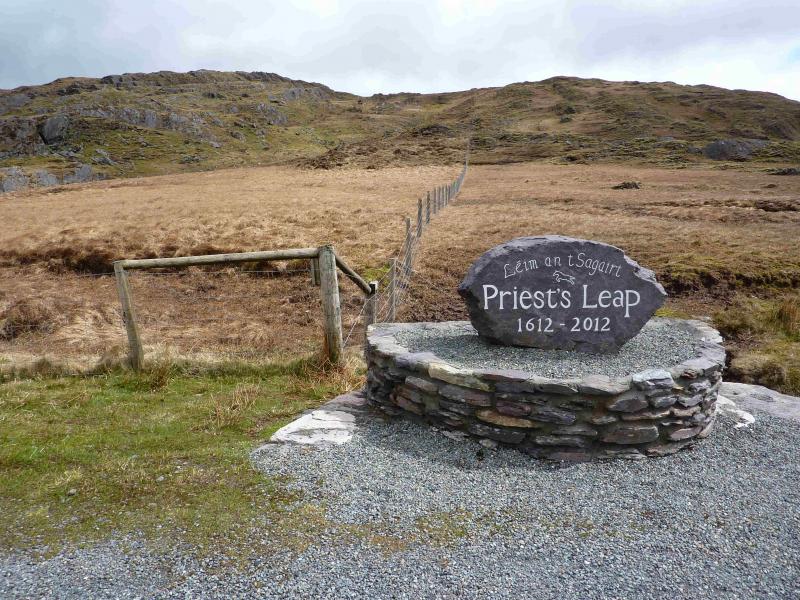
From Killarney, take the N22 (for Macroom and Cork). After about 9 miles, turn right on to the R569 for Kilgarvin and Kenmare. This is slightly longer, but much quicker, than taking the, seemingly more direct, N71, past the Killarney Lakes. In Kenmare, follow the signs for Glengariff, N71, crossing the river to leave Kenmare. After about 4 miles, there is a Weavers shop on the left next to a minor road signed for the Priest's Leap which is the top of a pass where a Jesuit Priest, according to legend, did a huge jump on his horse about 400 years ago. There are signs at each junction. Just before the junction which says it is 4 km to the Priest's Leap, there is a large parking space on the left which is just before a reverse fork track to an old burial ground.
Distance/Time
18 km About 7 hours
Peaks
Knockboy, 706 m, W 004 620 (Irish National Grid System)
Caoinkeen, 695 m, V 011 645.
Gullaba Hill, 625 m, W 001 672.
Barrerneen, 637 m, 990 661. Irish OS Discovery Series Map 85 (1:50000)
Introduction
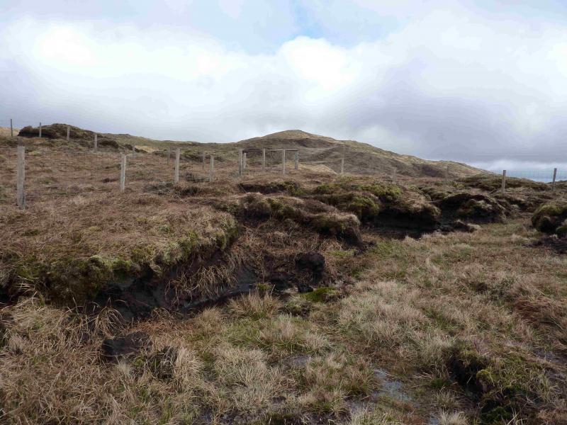
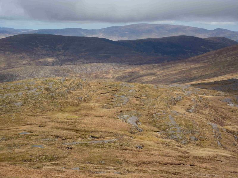
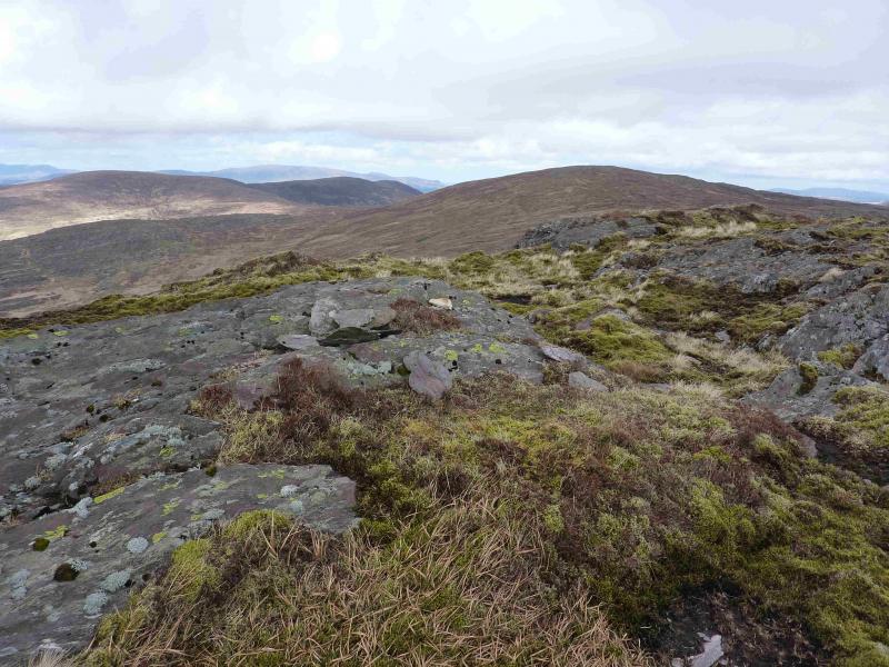
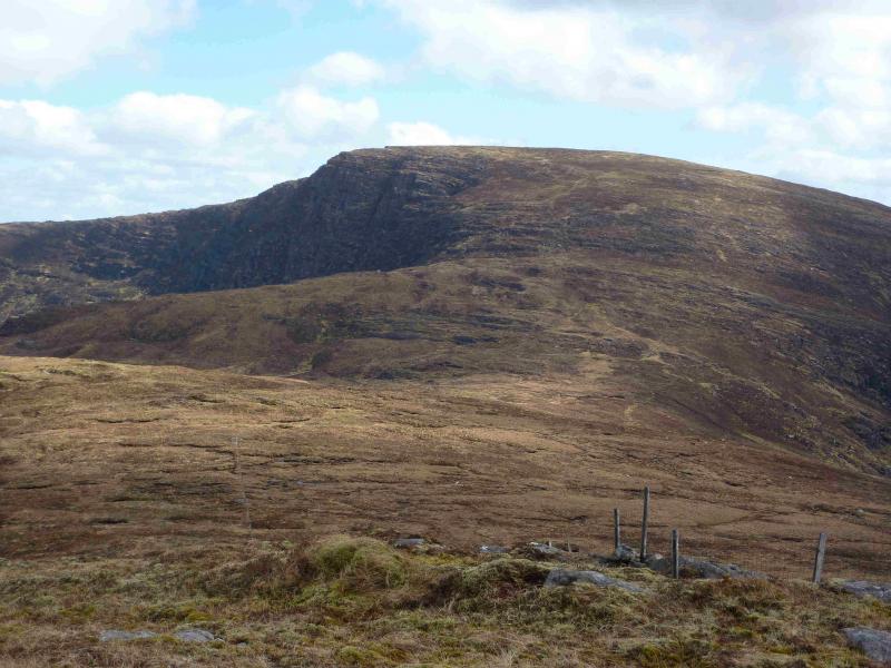
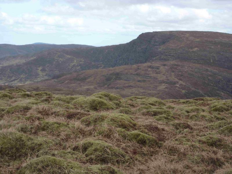
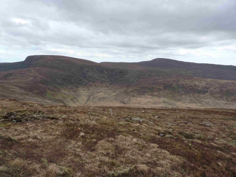
This is a strenuous walk mainly on grass over the occasional wet/boggy section with the first 50 m being the worst. Navigation is very straightforward in clear weather. In mist, fences help on much of the route. The ground tends to get rougher as the walk progresses. On a clear day there are good views of the surrounding hills and coasts including Macgillycuddy's Reeks. There is some uncertainty as to the correct names for these hills. Knockboy is correct but Caoinkeen is also shown as Knockboy on the map and some call it “Knockboy North”. On the map, Gullaba Hill is shown as a lower top to the NNE. The closest name on the map is Gortascreenteen. On the map, Barrerneen is the name given to the lower SW top. Sooner or later, the Irish OS will sort these out.
Route
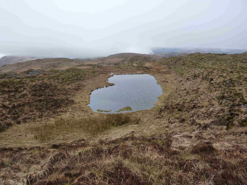
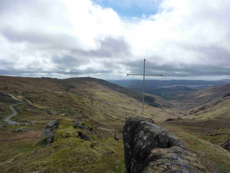
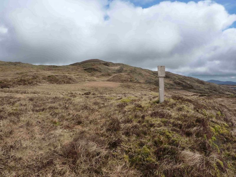
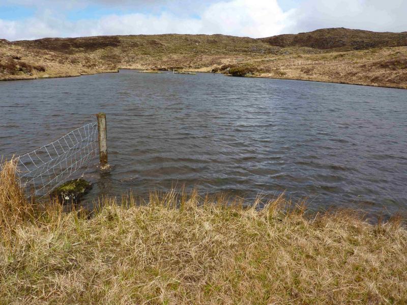
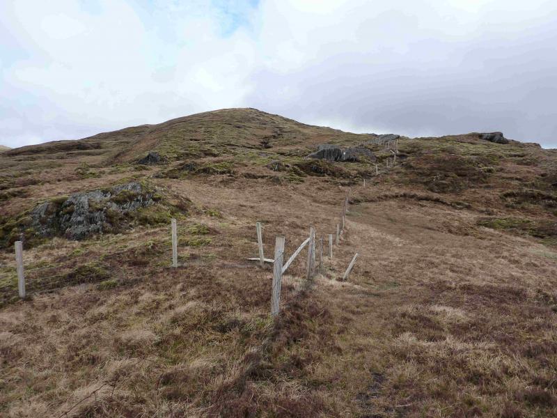
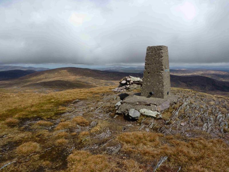
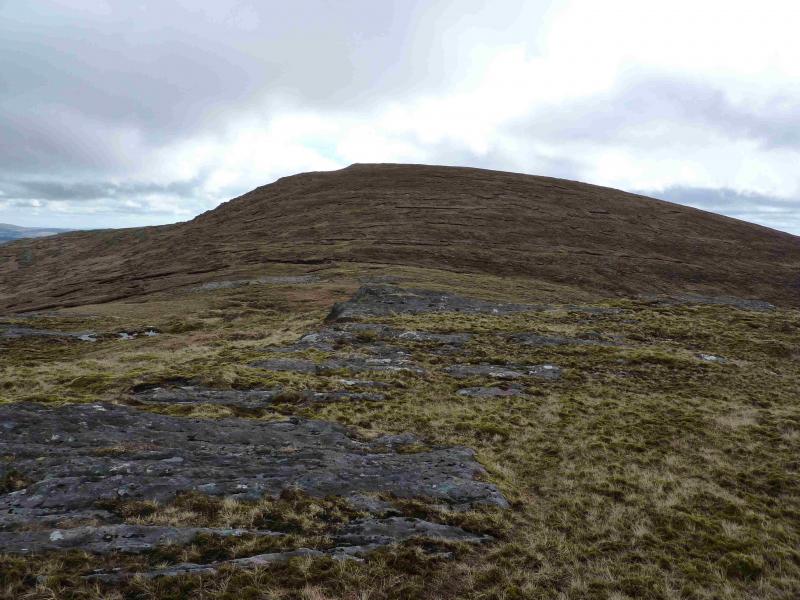
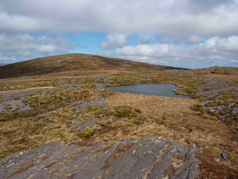
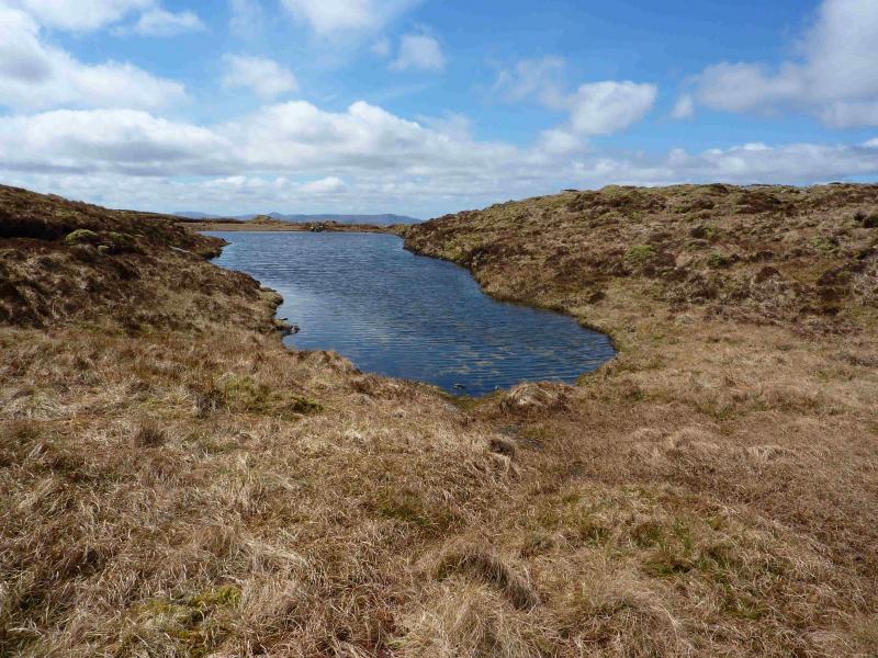
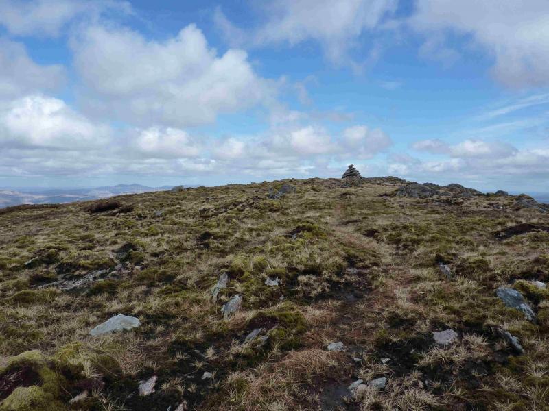
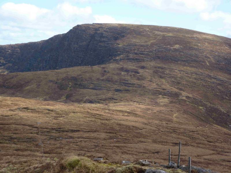
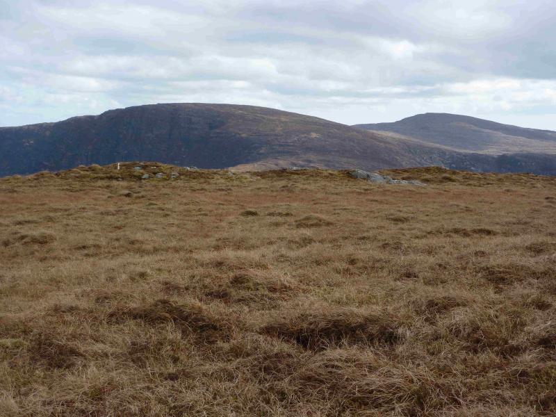
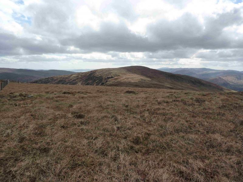
(1) Follow the right hand side of the fence behind the sign on the top of the pass, heading just N of E. This fence eventually meets another fence at a T junction. Cross the fence ahead and walk at about 10.30. If clear, there will be a post with a faded notice on it in this direction, sitting on a mound. Soon, Lough Boy will be reached with its island steeping stones in its middle but only if you are about 6 m tall! Crossing another fence, locate the fence going roughly E from Lough Boy. Follow this fence, on its right hand side until it turns right. Cross the fence and continue ahead. Within 100 m, reach the trig point and large cairn which mark the summit of Knockboy, 706 m. On a clear day, the summit will be clearly visible before the fence corner is reached. There is a path much of the way.
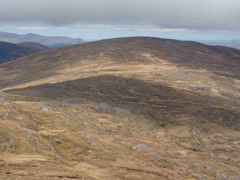
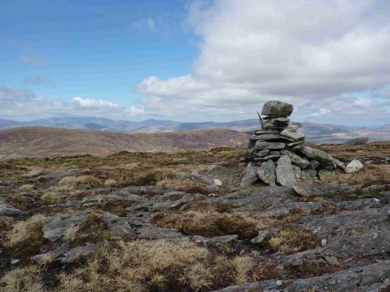
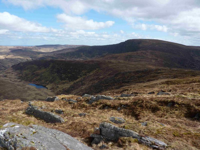
(2) In mist, navigation on this section can be tricky but there is a faint path in places. Descend slightly W of N, down easy grassy slopes over shoulder 649 (with a tiny cairn on a small rib of rock) where the broad ridge turns NNE over undulating ground to Pt 603. A small lochan will be passed near here before Lough Nambrackdarrig is passed on its E side. From here, ascend NNE up easy grassy slopes to reach a medium cairn which marks the summit of Caoinkeen, 695 m.
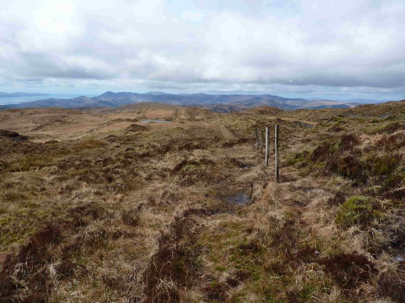
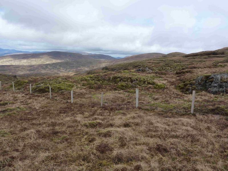
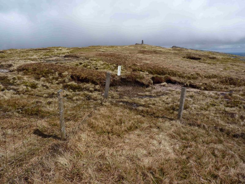
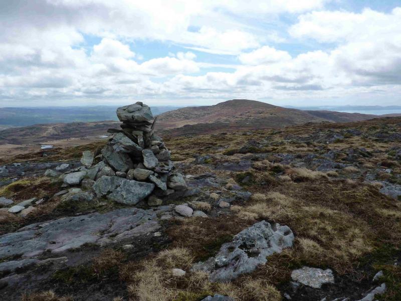
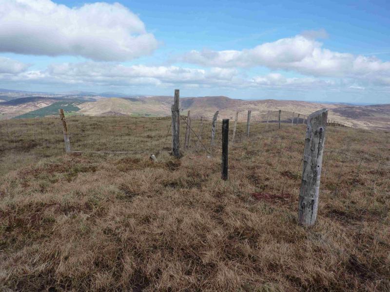
(3) Descend NNW to soon meet a fence crossing the ridge. In mist, follow the fence left to meet another fence going down the ridge which can beused as a guide. This fence goes down rough ground to the col then up the other side to reach a T junction to the E of Barrerneen. Follow the fence going right which leads all the way to a fence junction which is the only thing to mark the summit of Gullaba Hill, 625 m. The going is quite peaty and boggy but better on the N side of the fence.
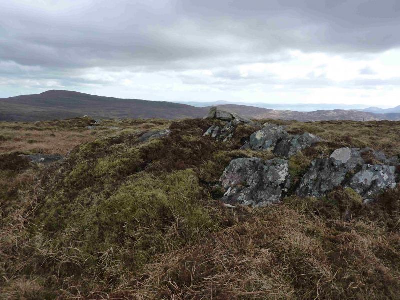
(4) Retrace along the fence to the junction then continue ahead following a line of old fence posts which soon lead to a small grassy outcrop with a tiny cairn on it which marks the summit of Barrerneen, 639 m.
(5) Descend following the same line of old fence posts. Lower down the ground becomes very tussocky and can be hard going. Eventually, the fence posts (proper fence lower down) lead to a minor road which looks more like a track. Turn right and follow this road back to the junction close to the parking spot.
Notes
(a) This walk took place on 25th April, 2013.
(b) The Fossa camp and caravan site, at V 910 923 is very good and very well situated for the Killarney mountains, especially Macgillycuddy's Reeks and Purple Mountain as it is only about 3 miles from Kate Kearney's Cottage. At Fossa, there are camping and caravanning facilities as well as a hostel and static trailer vans can also be hired. For campers, there are excellent showers (small extra charge) and there is a good campers’ kitchen with tables, sinks and cooking area if you have your own cooker and pans. Gas rings are available (small extra charge). There is also a TV room. Reception is open quite late in the high season and the staff are very helpful. A computer is available for hire and there is a freezer in reception. There is a bus stop outside the site for Killarney. There is a 24 hour Tesco which is off the northern bypass (turn right at 4th roundabout then right at next). Out of high season, it can be better for 2 people to rent a trailer van than to camp separately.
Photos - Hover over photo for caption. Click on to enlarge. Click on again to reduce.