Get Lost Mountaineering
You are here: England » Peak District » West of Glossop to Hayfield Road including Chinley & Charlesworth
South Head, Kinder Low & Chinley Churn
South Head, Kinder Low & Chinley Churn from Chinley Station
Start/Finish
Chinley railway station where car parking seems to be free and the car park is quiet on a Sunday when there are no commuters. Street parking is available nearby if the car park is full. Chinley is a small village and the station is signposted from either end of its "main street". If coming from the south or east, take the A619 from Chesterfield to Baslow before picking up the A623 sugned for Manchester. Those approaching from Buxton, on the A6, will meet this route at a roundabout just before Chapel-en-leFrith. Soon after, take the A624 signed for Glossop. Leave this road after Chapel Milton and follow the signs into Chinley. The turn for the station is on the right just before the telephone box and Post Office. Public toilets are behind the furniture shop on the corner after the Post office. If coming from Manchester, down the A6, turn off for Chinley after Furness Vale.
Distance/Time
19 km. About 6 - 7 hours
Peaks
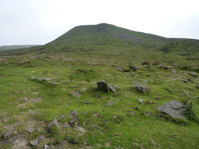
Mount Famine (optional), c 470 m, SK 056 849.
South Head, 494 m, SK 061 845.
Brown Knoll (optional), 569 m, SK 083 851.
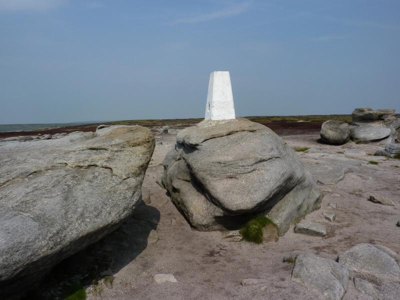
Kinder Low, 633 m, SK 079 870.
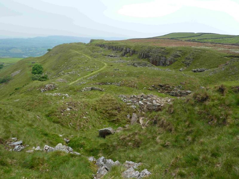
Chinley Churn (optional), 451 m, SK 035 836.
OS Outdoor Leisure 1: Dark Peak. OS 110 (1:50 000).
Introduction
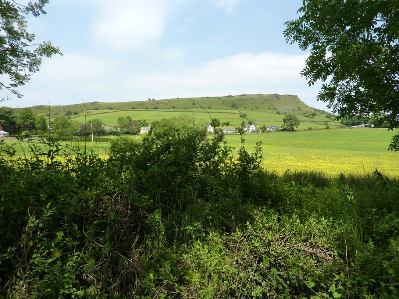
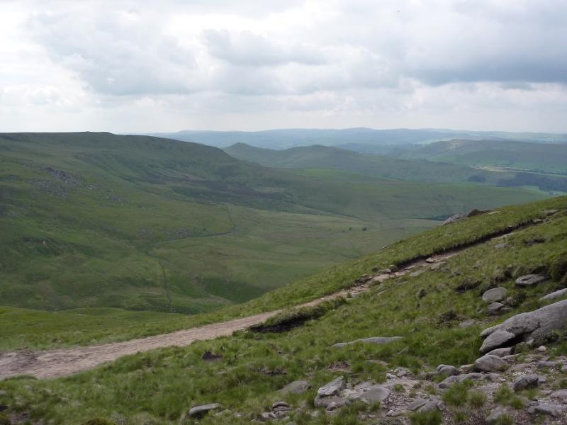
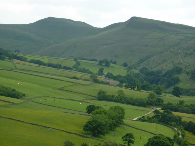
This is a lovely walk in a mixture of limestone and millstone grit country. Those driving from Chesterfield will have lovely views all the way including Chinley Churn which is a distinctive hill with a cliff below its top. Many trains pass through Chinley as it is on the Manchester – Sheffield line amongst others so trainspotters may want to arrive earlier! There is now a slabbed path up the notoriously boggy Brown Hill on this approach. On a clear day there are excellent views including down into Edale. The route passes the Camping and Caravanning Club site at Hayfield for those who wish to make a weekend of it.
Route
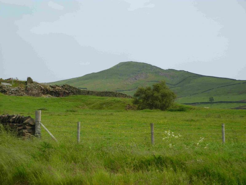
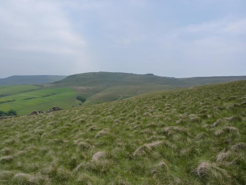
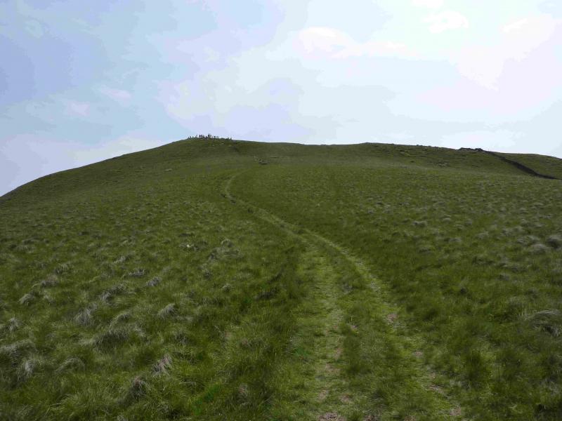
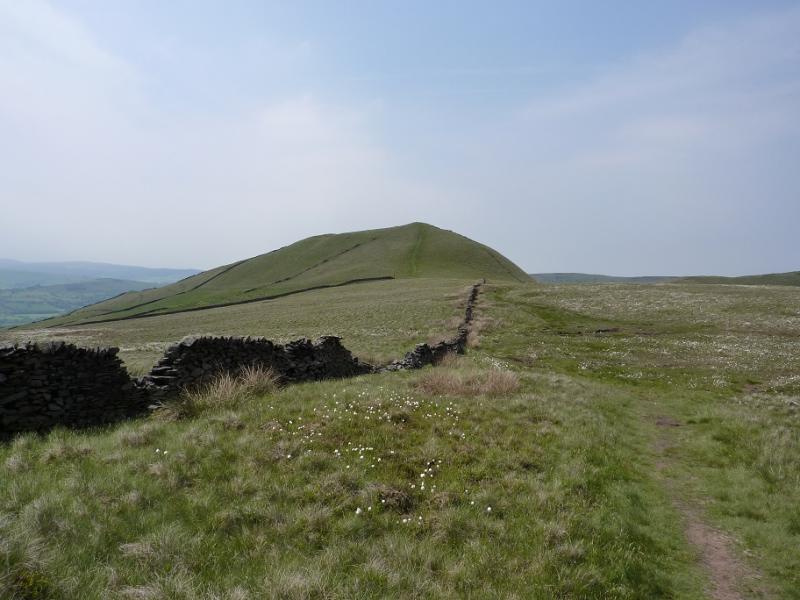
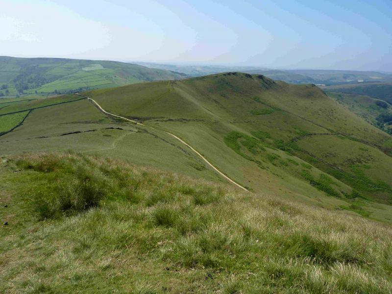
(1) From the station, walk back to the main street (near to the Post Office) then follow the “main” road towards the Glossop road, first N to a corner then E. Take the third turning on the left, Alders Lane. Go under the railway then continue to a house where there is a sign for White Knowl Farm. This path can be followed; it goes through the farm just before the Glossop road but then one has to walk up the road to the track for Bole Hill. Instead, continue ahead and take the next path on the right, from the end of the track (about 100 m further on) and follow the path up to join the road opposite the Bole Hill track. Follow the track, ignoring the first two right turns until the path leaves the track just before Andrew's Farm and follows a grassy strip between two walls. Keep going ahead, following a wall on the right to reach a footpath sign pointing ahead. If clear, you heading towards a col on the ridge ahead. Eventually, reach a walled corner with a stile over which is a very good path/track. If wishing to visit Mount Famine, detour left before returning to the stile otherwise turn right, passing a sign which says South Head. The good path goes around to the left, N, of South Head, so leave it where a faint path goes off to the right near this sign and by two stone posts and climb to the summit cairn of South Head, 494 m.
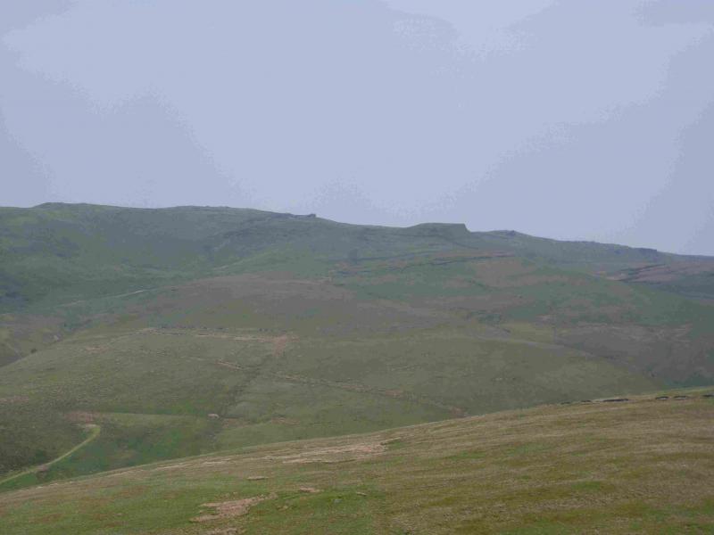
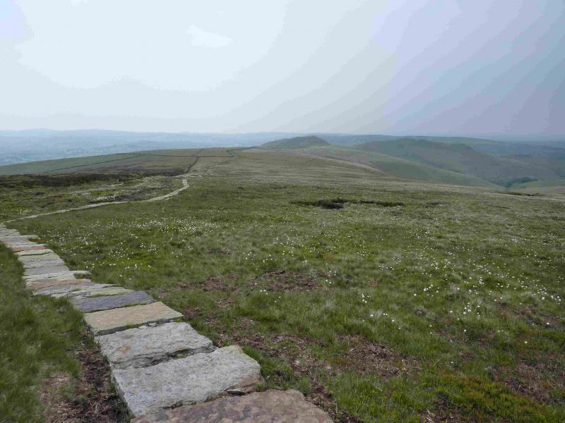
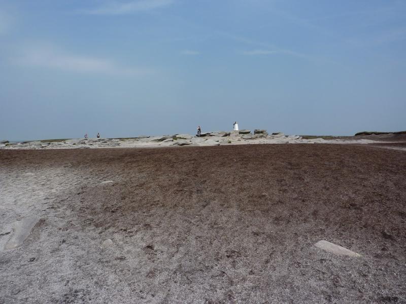
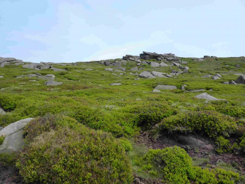
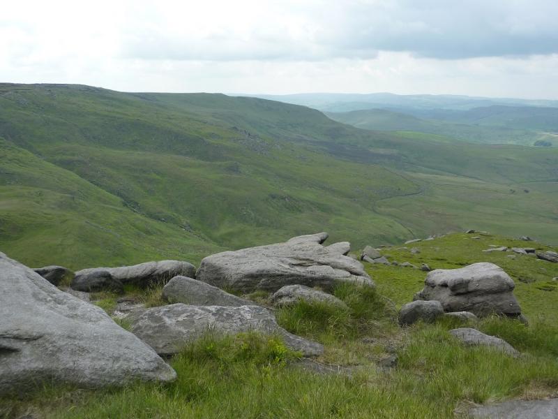
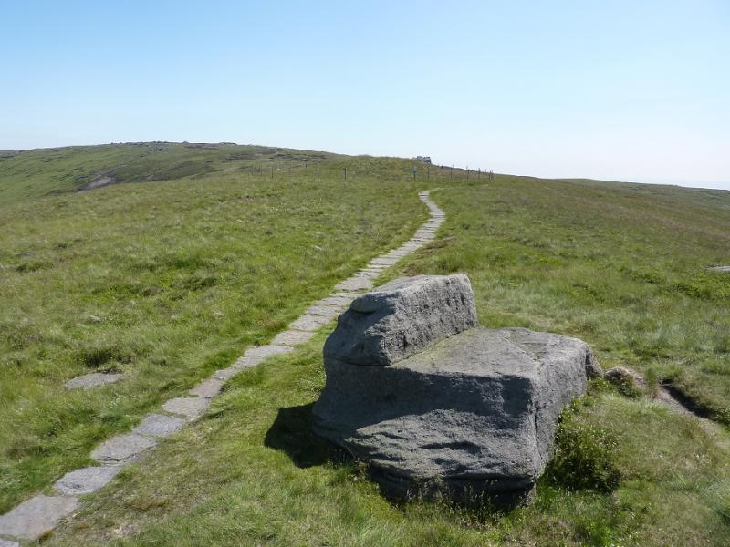
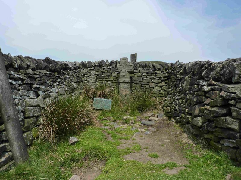
(2) Descend ENE on a path, crossing the very good path lower down. Continue ahead, E, on a path which keeps splitting where people have detoured to avoid boggy sections. A wall is on the right by now. Soon the path becomes a proper slabbed path which goes around the W flank of Brown Knoll. To detour to Brown Knoll, leave the path just before it fully turns N and pick a way up boggy slopes to the trig point in a very boggy spot then return to the slabbed path. Otherwise, continue on the slabbed path which leads down to a crossroads of paths, including the Pennine Way, at the top of Jacob's Ladder. Turn left, W, and after about 300 m, reach Edale Croos which is hidden in an alcove of stone walls. Follow a faint path, uphill, going N from Edale Cross and walk to the left, W, of the top ahead, Edale Rocks. Soon a better slabbed path is reached. At a junction* go right and follow a line of cairns. At a very large cairn, the trig point of Kinder Low, 633, should be visible about 40 m away to the right.
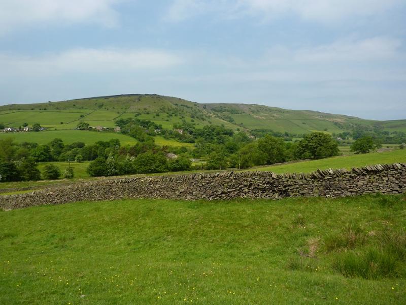
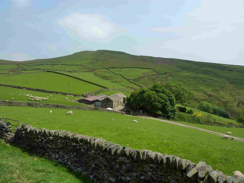
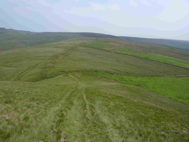
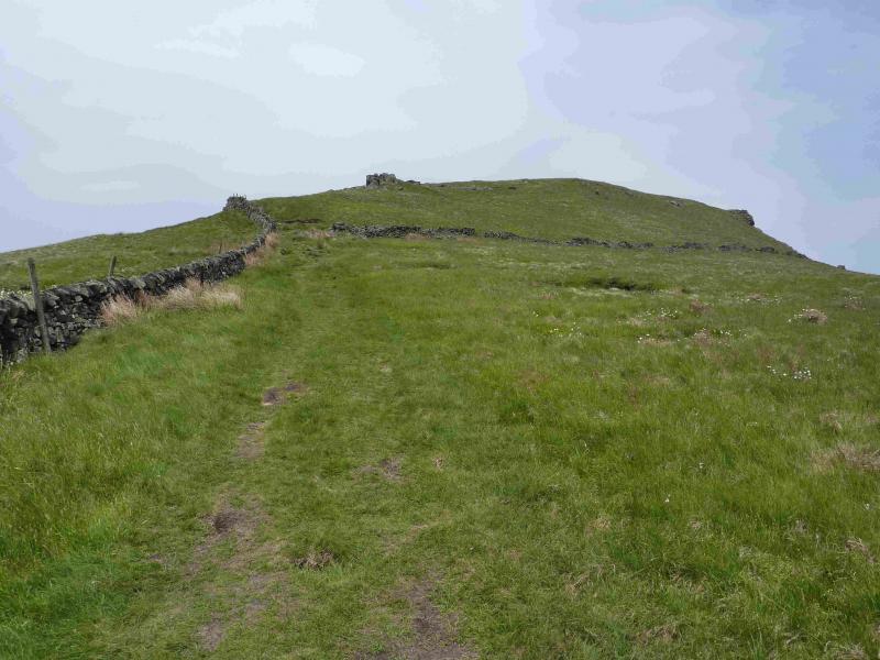
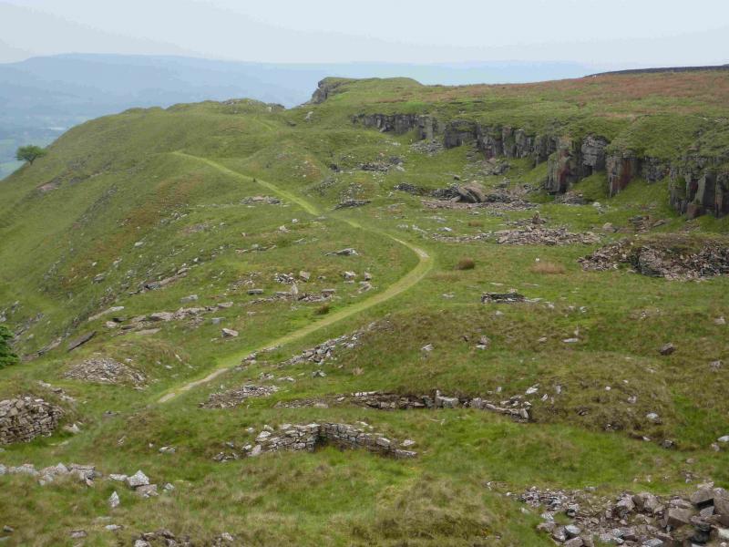
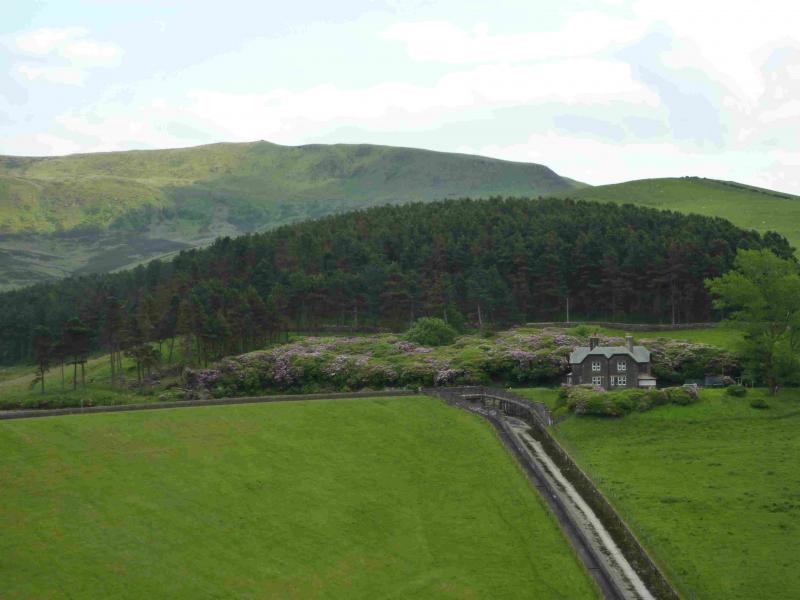
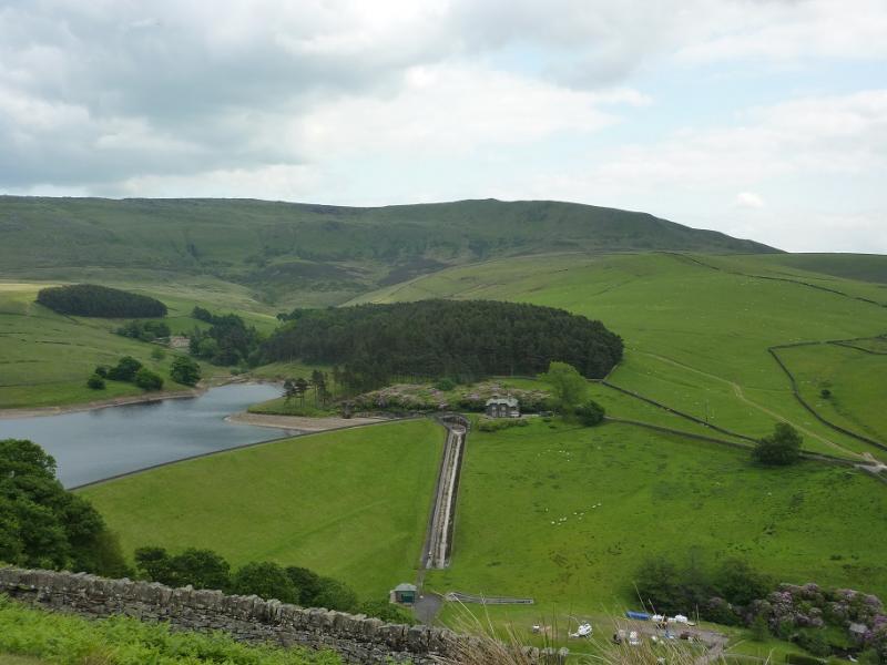
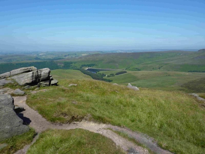
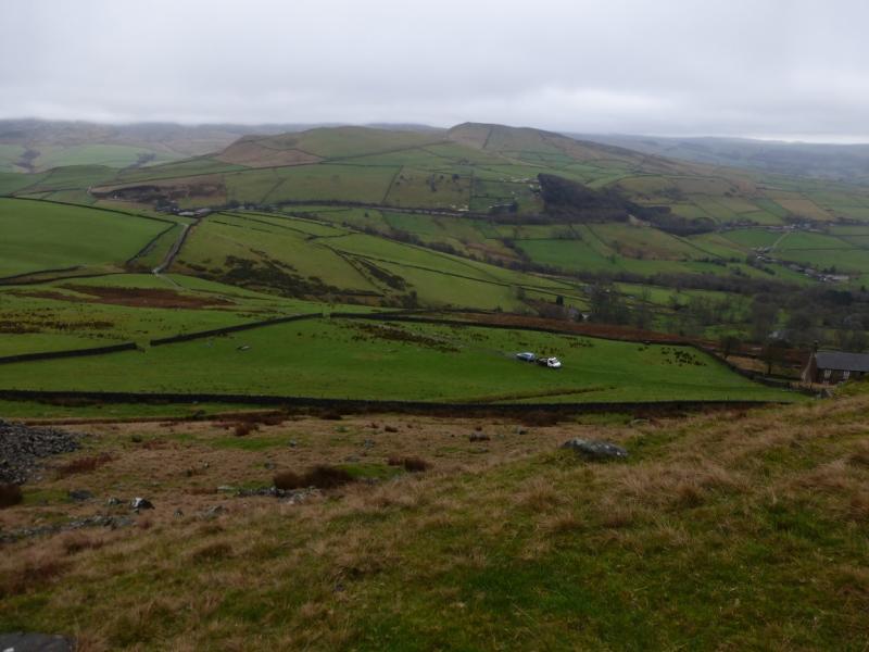
(3) From the trig point, follow the line of Cairns, roughly N, to get back on the edge path. Follow this for about 1 km, until a path goes WSW off the edge. It is possible to drop down to this path earlier if one wishes. Follow the path across and down, above Cluther Rocks, for about 2 km, to reach a gate below Kinder Low End. Alternatively, from the trig point, return to the slabbed path junction* and go straight on (right is back towards Edale Rocks) and follow it to Kinder Low End where a path drops steeply, E, Passing to the left, S, of a rocky slope, off the end down to the gate. From the gate, follow the wall on the right until a pedestrian gate can be gone through. Turn left and walk downhill on a grassy strip keeping the wall about 40 m to the left. Soon the grassy strip becomes a better defined path which passes through a few gates before reaching Tunstead House which is the stone farm ahead. Descend the track on the left of the house which becomes a concrete track then a tarmac road. Keep going ahead, with a narrow river on the right. Soon a camp site is reached, where refreshments can be purchased if its hop is open. Here, the road becomes a path, still on the left of the river, but later becomes a road again. Continue ahead and soon the main Glossop road will be reached. Just before the main road, a minor road goes off to the left and can be followed for about 2 km until it joins the main road. Walk S along the main road for about 400 m then turn right. Pass Hills House then take the track ahead towards Hills Farm. Just before the farm, a path goes off to the right, S. This path is just below the crest and leads through the old quarry below the cliffs at the S end of Chinley Churn. If the summit trig point is to be visited then look for a path up through the crags just N of the summit otherwise continue below the crags until the path splits just before a large sloping meadow. Take the right fork and continue to the road on Throstle Bank. If visiting the summit, a path S drops down to this path. On the road, turn left and descend down to a T junction where a left turn goes right to a road bridge over the railway with the Post Office clearly visible ahead. The first road on the right leads back to the station.
Notes
(a) This walk took place on 18th June, 2013.
Photos - Hover over photo for caption. Click on to enlarge. Click on again to reduce.