Get Lost Mountaineering
You are here: Scotland » 08 Cairngorms and Buchan » West of Lairig Ghru
Braeriach, Angel's Peak, Cairn Toul & The Devil's Point
Braeriach, Angel's Peak, Cairn Toul & The Devil's Point
from the Sugarbowl car park
Start/Finish
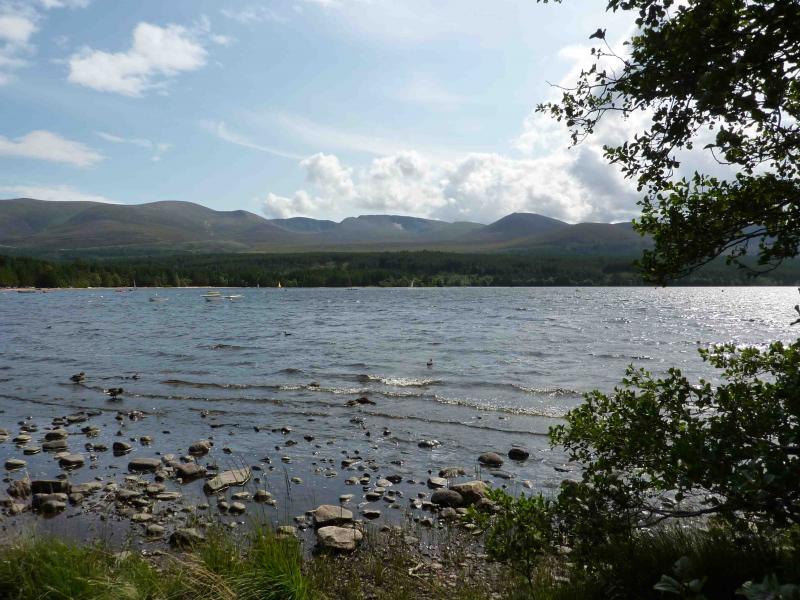
Sugarbowl car park about 2 miles past the Loch Morlich camp site which is on the road from Aviemore to the Cairngorm ski area. The car park is on the left, on the first zig-zag, at about the tree line. It is sometimes blocked with snow but the length of this walk dictates a long summer's day so snow at this level is unlikely to be a problem.
Distance/Time
36 km About 13 - 15 hours
Peaks
Sron na Lairige, 1184 m, NH 964 006.
Braeriach, 1296 m, NN 953 999.
Carn na Criche, 1265 m, NN 939 982.
Sgor an Lochain Uaine (Angel's Peak), 1258 m, NN 954 976.
Cairn Toul, 1291 m, NN 963 972.
Stob Coire an t_Saighdeir, 1213 m, NN 962 963.
The Devil's Point, 1004 m, NN 976 951. OS Sheet 36.
Introduction
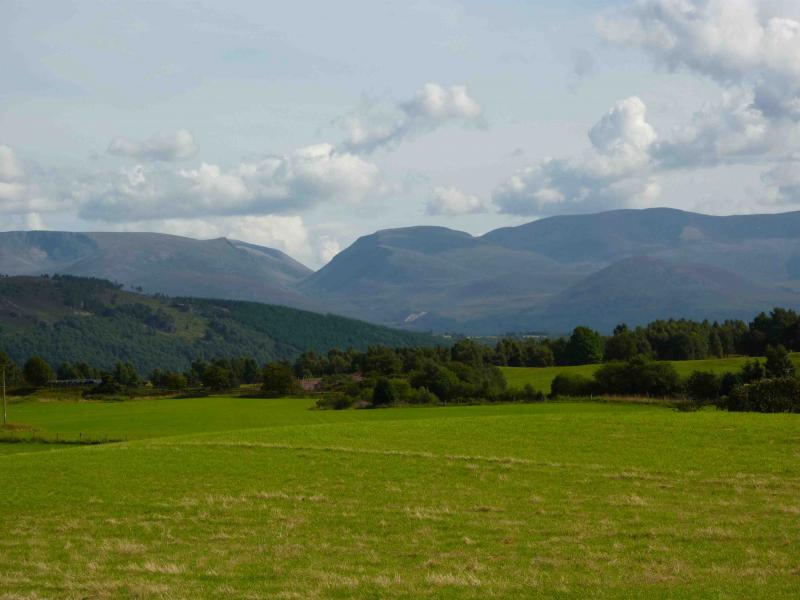
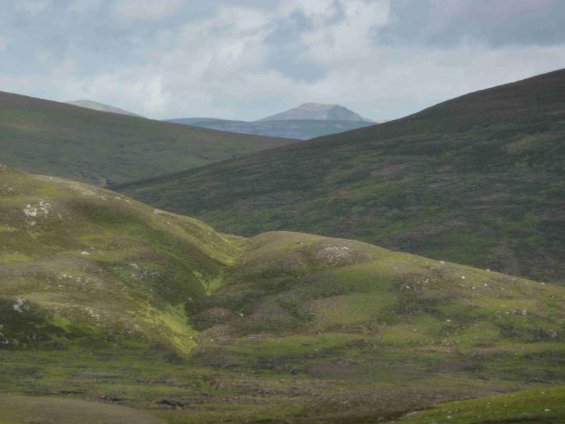
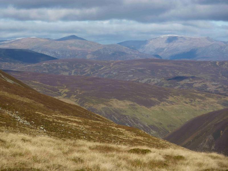
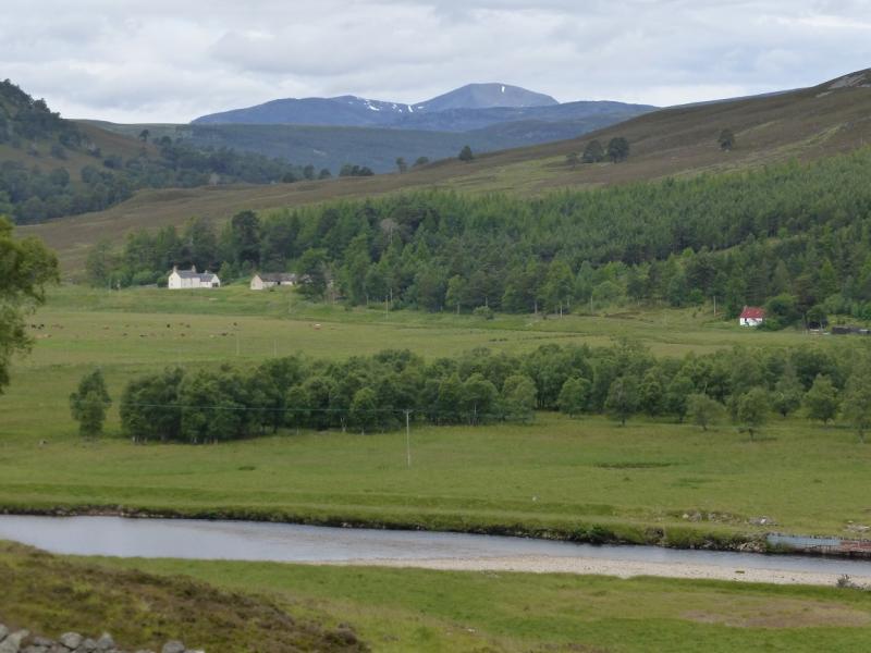
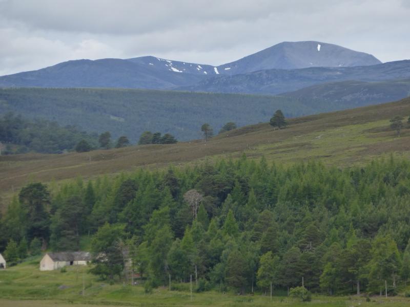
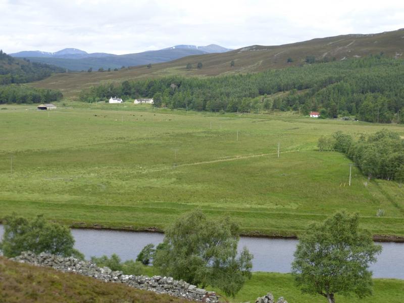
On a clear summer's day this is a straightforward, albeit very long and strenuous walk over seven very high tops. There are excellent views to the Sgor Gaoith range plus views to Mullach Clach a' Bhlair and beyond to the Drumochter and Atholl hills. Most of the route is on good paths which are easily followed in clear summer conditions. In mist, the walk needs careful navigation. In winter, it is only for the extremely experienced and competent winter mountaineer prepared to walk in the dark! Note that the walk back from the final summit of The Devil's Point involves a straightforward descent into the Lairig Ghru to the Corrour bothy then a long walk back through the Lairig whose summit is above Munro height (3000 ft/914 m) and is a succession of boulder fields. The return from The Devil's Point can easily take 6 hours or longer. The Devil's Point is a cleaned up renaming of the literal translation of the Gaelic name. Those interested can easily research it for themselves! Corrour Bothy has been “renovated” and some will prefer to spend the night there then walk out in the morning but do realise that the bothy is small and may be full so take a tent just in case …. If staying at Corrour, it is possible to return over Ben Macdui and Cairngorm.
Route
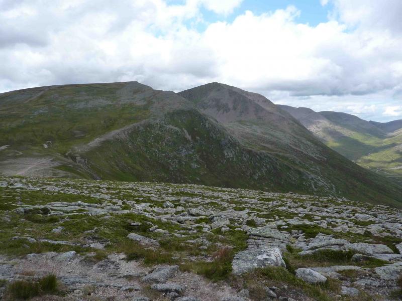
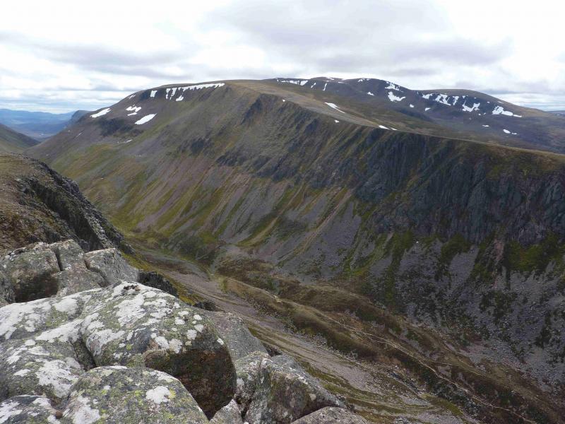
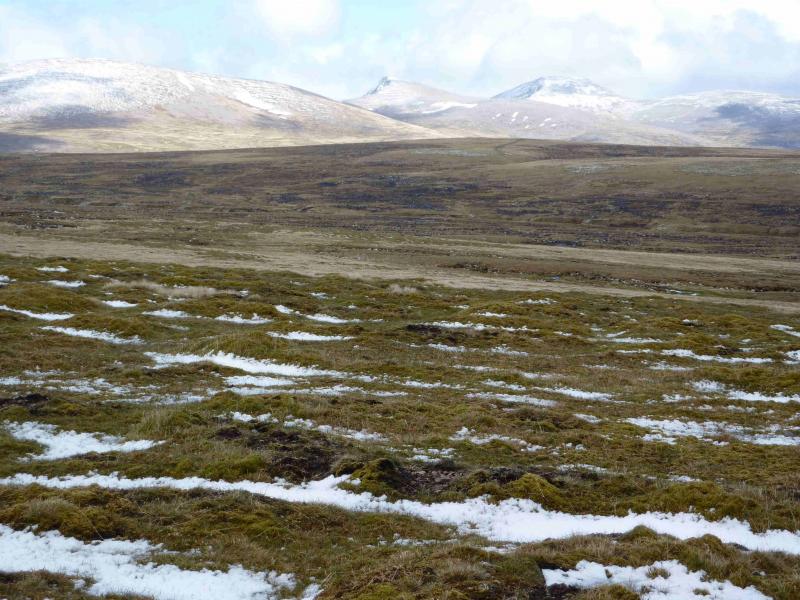
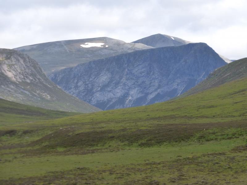
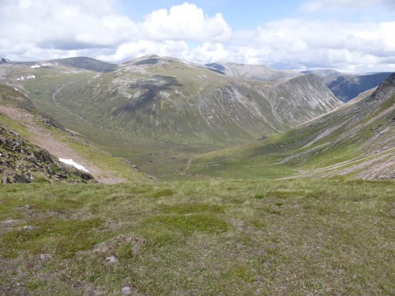
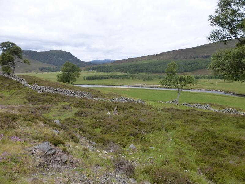
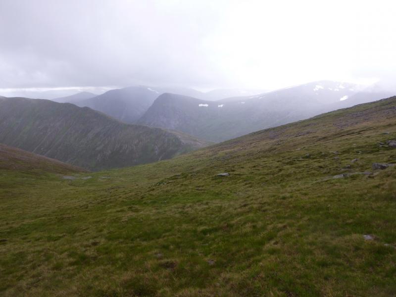
(1) Cross the road, on the bend, and follow the path, S, to the bridge across the burn. Climb out, initially N, before heading S, SW, W then SW on an obvious path above the steep bank of the burn for about 2 km. After a further 2 km, reach the Chalamain Gap which is a kind of “gorge” filled with large boulders and slippery when wet. There is no easy path through and it can be very slow going. Some choose to avoid the gap by walking along its top on the Creag a' Chalamain, N, side. Once through the gap, the path descends to the Lairig Ghru burn, which is easily crossed by an “engineered bridge” of flat boulders. If you have an old map, note that the Sinclair Memorial Hut has now been demolished. Climb the W bank then head SE up a ridge, on a good path to reach the cairn, 1180 m, marking the N top of Sron na Lairige. Continue S to reach another cairn which marks the true summit of Sron na Lairige, 1184 m.
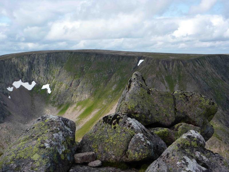
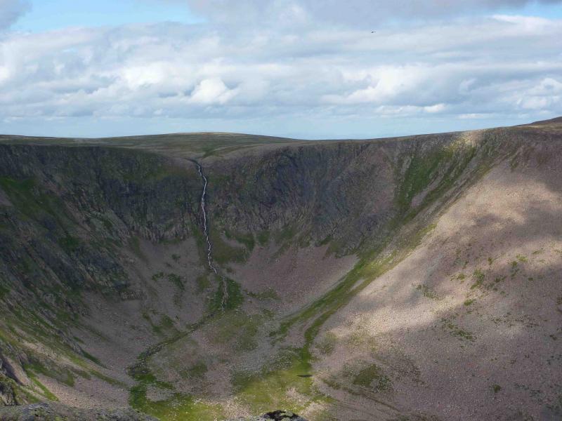
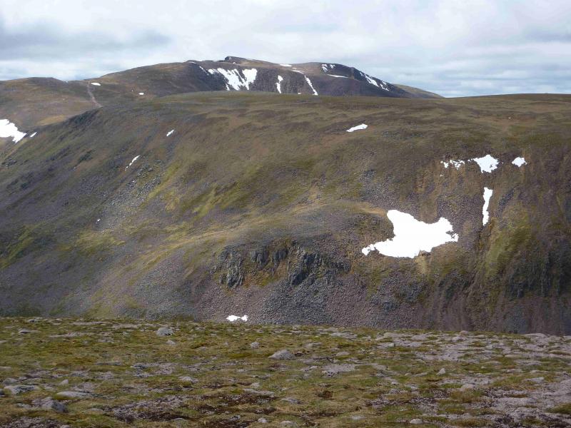
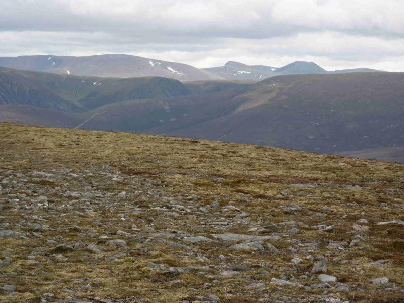
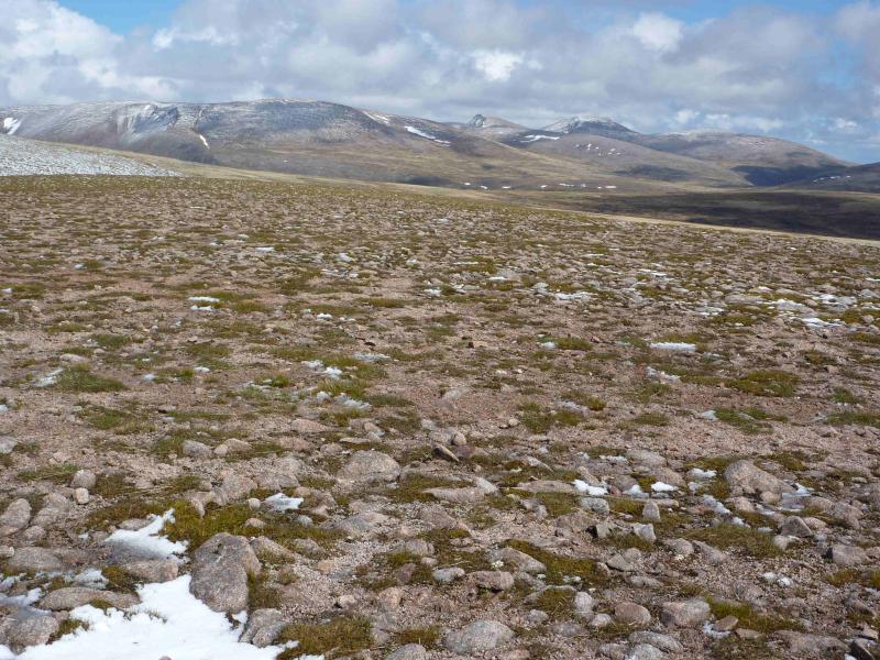
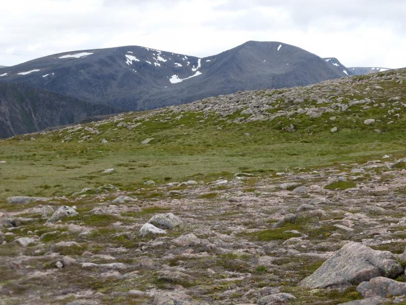
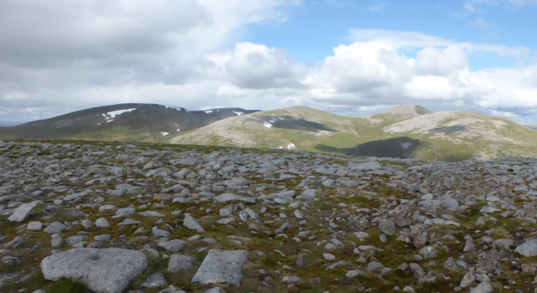
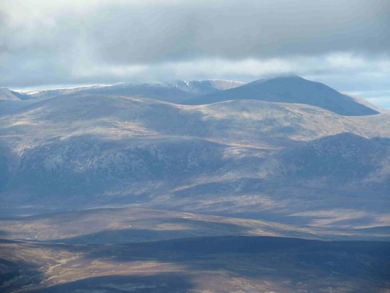
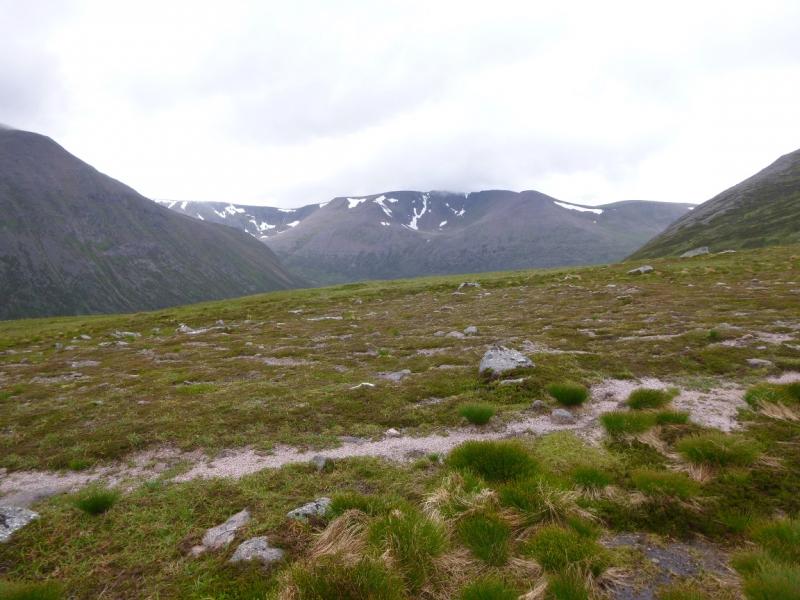
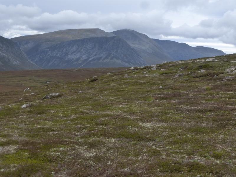
(2) Descend SSW to a small bealach then follow the path which climbs SSW then W to ascend the E ridge of Braeriach on the N side of Coire Brochain. When the summit plateau is reached the path turns SW, following the corrie rim, to reach the large cairn which marks the summit of Braeriach, 1296 m, the third highest peak in Scotland. The plateau is quite featureless with only the edges and the burns being useful aids to navigation. It is not unusual to see a large herd of reindeer in the summer.
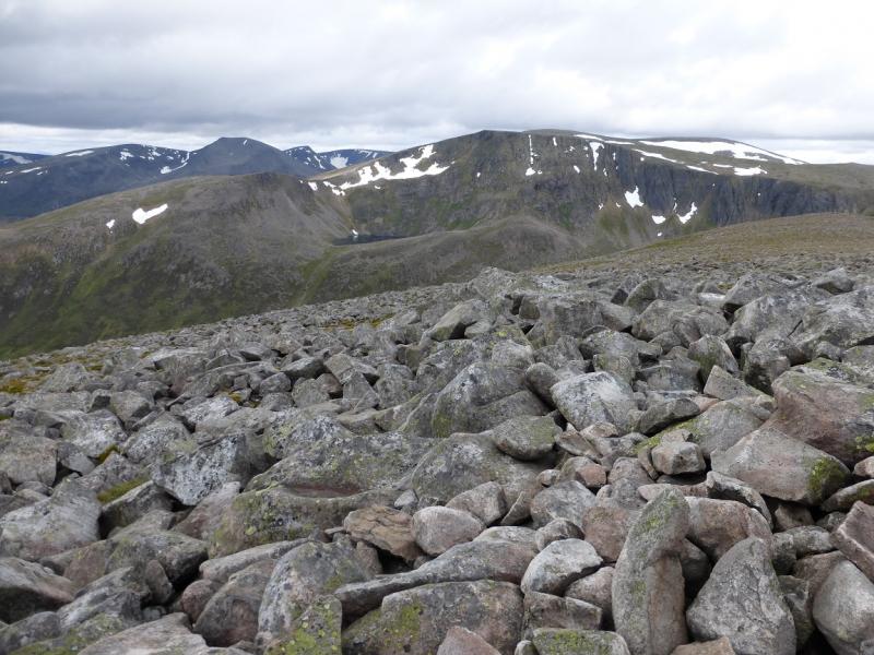
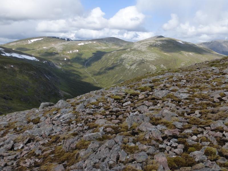
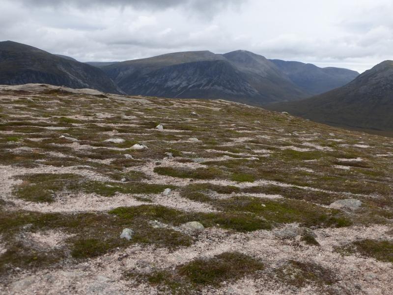
(3) From the summit, follow the top of the cliff (on the E side) S until it turns SE then walk SW to reach the next cliff in about 400 m. Follow this SW, S, SSE then SW for about 2 km then walk W, for about 100 m, ascending slightly, to reach the large cairn which marks the summit of Carn na Criche, 1265 m. Alternatively, in good weather, walk across the plateau from Braeriach to Carn na Criche where the going underfoot may be easier.
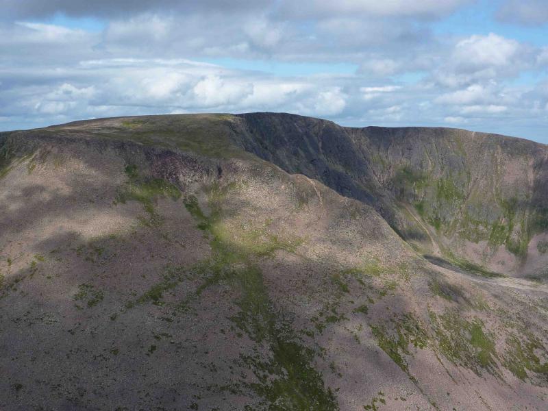
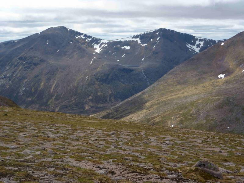
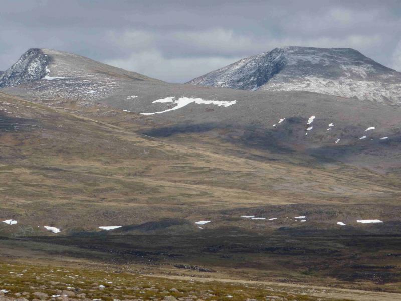
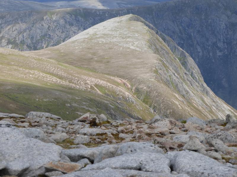
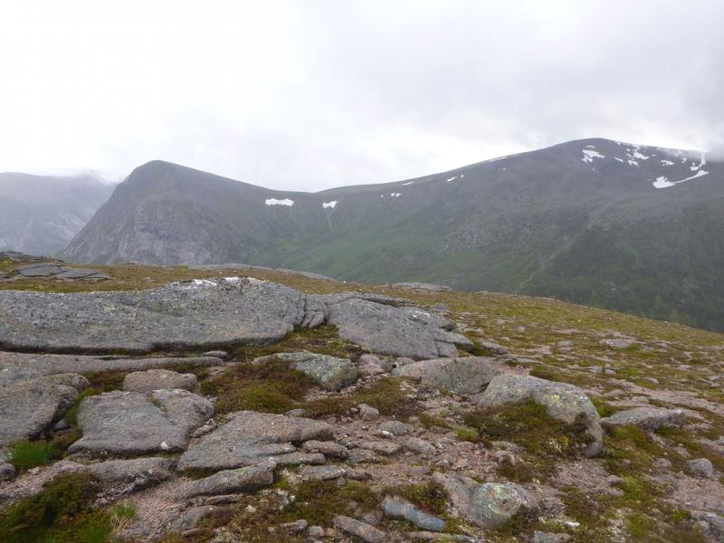
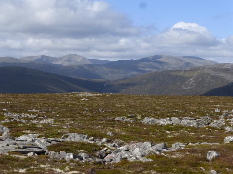
(4) From the summit, walk E to regain the top of the cliff and follow it S, SE then E, on a path, down to a bealach. Ascend E then ENE to soon reach the large cairn marking the summit of Sgor an Lochain Uaine (Angel's Peak), 1258 m which is perched just above the cliff edge.
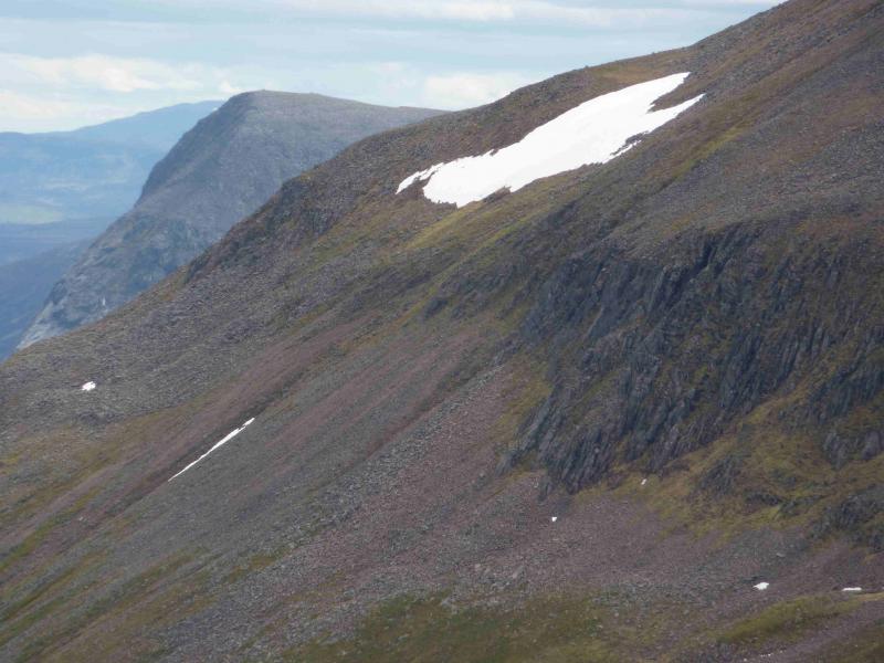
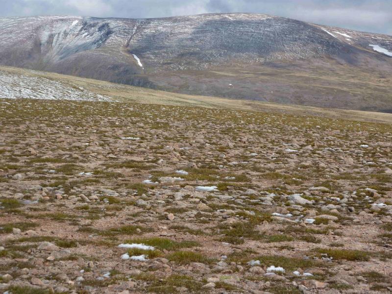
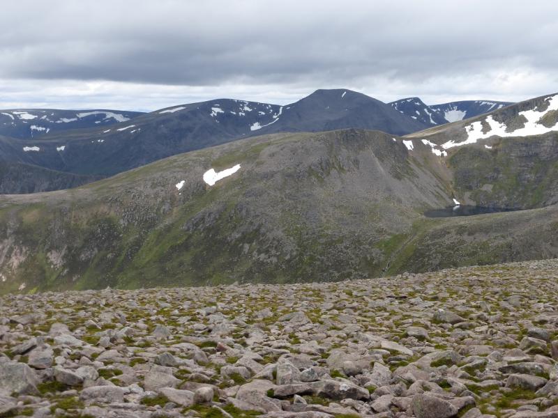
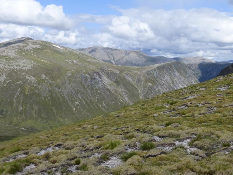
(5) Descend SE, following the cliff edge, to a bealach then ascend E, above the cliffs, to reach the large cairn which marks the summit of Cairn Toul, 1291 m. The cliff line stops just before the summit is reached and there is no cliff to the E.
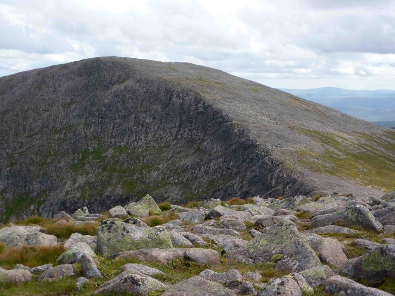
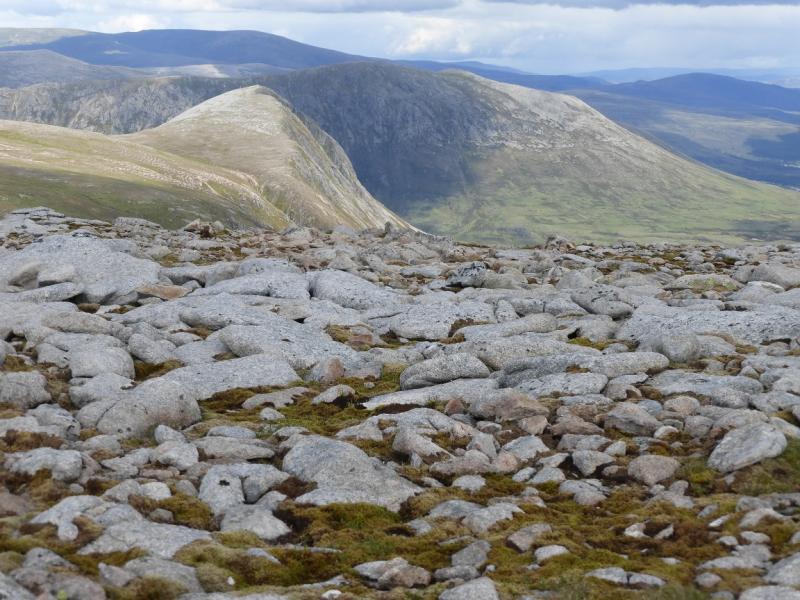
(6) Descend S to pick up the cliff edge again where the best path is to avoid the worst of the boulder fields. Follow the edge SSE to reach a bealach. Continue, ascending gently. When the cliff edge turns SE, reach the cairn marking the summit of Stob Coire an t_Saighdeir, 1213 m.
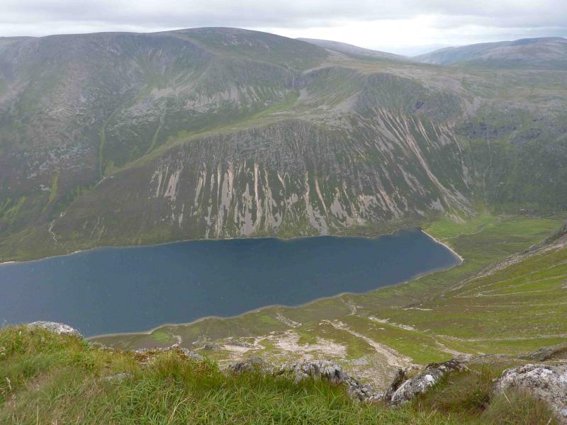
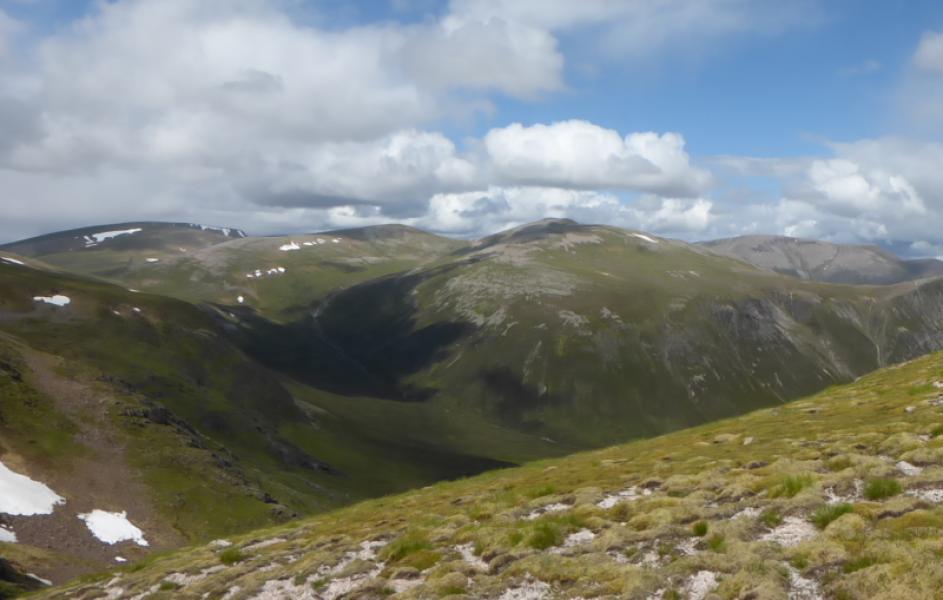
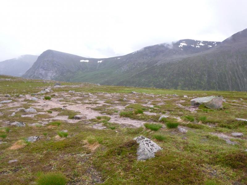
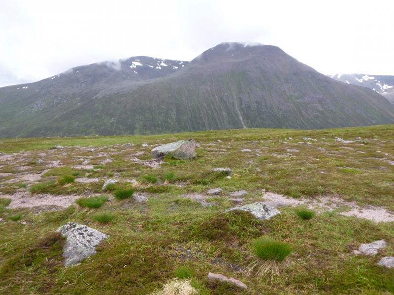
(7) The continuation offers a choice of paths. Either descend SSE down mainly grassy slopes or go ESE then S along the rocky edge path. Both routes lead to a broad bealach. Ascend SE then E to reach the large cairn marking the summit of The Devil's Point, 1004 m.
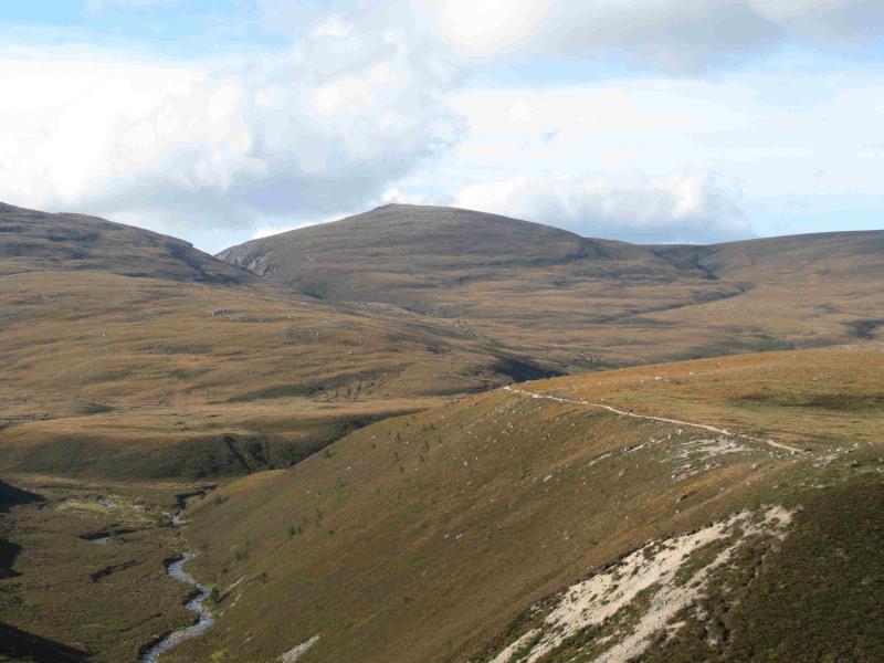
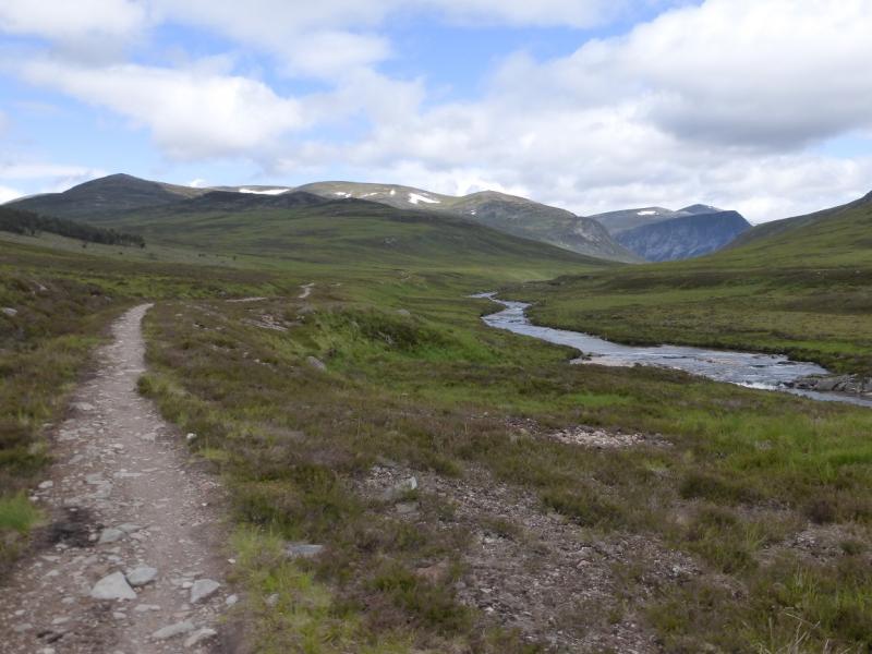
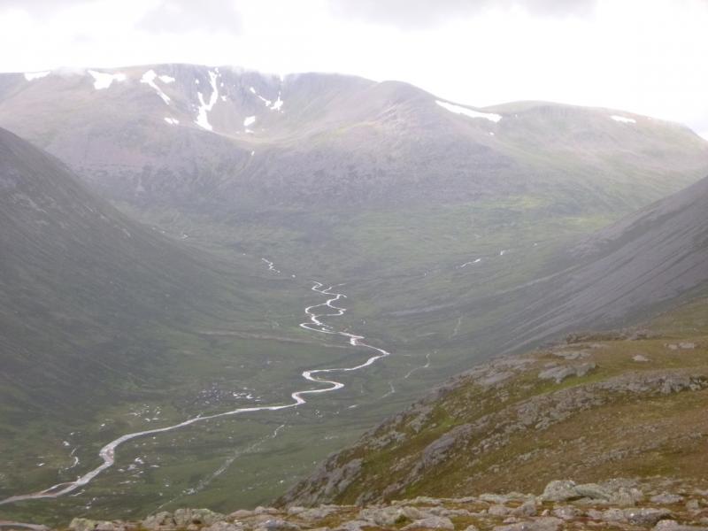
(8) Retrace to the bealach then head NNE to locate the top of the path going down Coire Odhar to Corrour Bothy. It is now about 5 hours back to the start. From the bothy, take the path to the bridge over the River Dee and join the path heading N through the Lairig Ghru. The path is quite good for about 6 km to the Pools of Dee after which it goes through boulder fields. The Lairig has several “tops”. Once over the final top, it is about 3 km, on an improving path, back to the earlier crossing of the Lairig Ghru burn. Follow the path up the E side of the burn. Go through, or round, the Chalamain Gap and retrace the outward route back to the start.
Notes
(a) This walk took place on 5th August, 2009.
Photos - Hover over photo for caption. Click on to enlarge. Click on again to reduce.