Get Lost Mountaineering
You are here: Scotland » 12 Glen Cannich to Glen Carron » Strathconon
Bac an Eich & Beinn Mheadhoin
Bac an Eich & Beinn Mheadhoin from Inverchoran in far Strathconon
Start/Finish
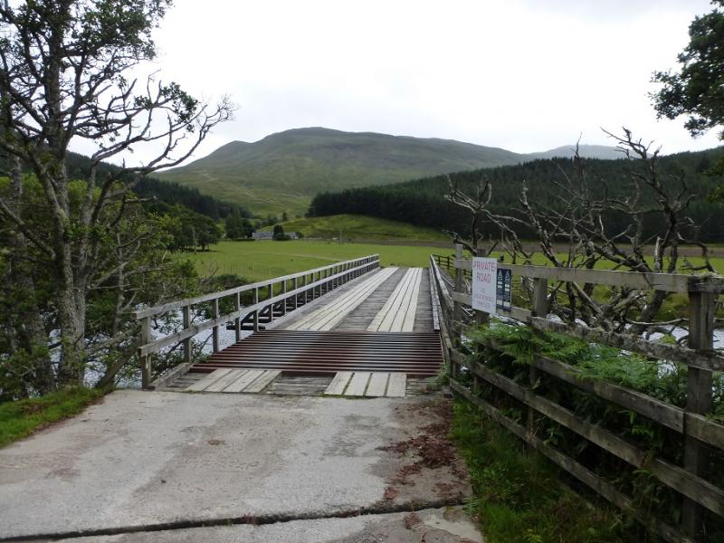
The bridge over the upper River Conon which is the entrance to Inverchoran Farm. Parking is limited so park carefully trying not to cause an obstruction. Strathconon is a long glen which starts at Marybank on the A832 road between Contin and Maryburgh. It is about 15 miles from here to the start and the road, although very scenic, is narrow in places.
Distance/Time
15 km. About 8 hours.
Peaks
Bac an Eich, 849 m, NH 222 489.
Beinn Mheadhoin, 665 m, NH 258 477. OS sheet 25.
Introduction
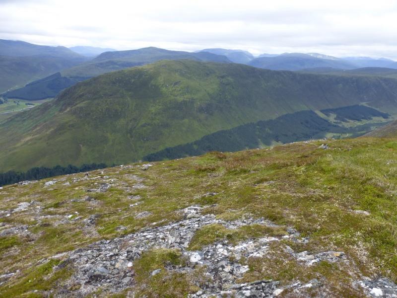
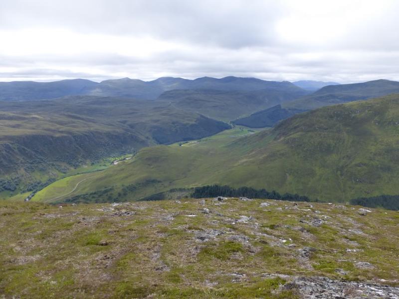
This is a pleasant horseshoe in remote country. On a clear day there are good views of the prominent Strathfarrar hills to the S, Maoile Lunndaidh to the SW, the Moruisg hills to the W and the Sgurr a' Mhuillin range to the NE. The Gleann Chorainn can be difficult to cross lower down the glen so best not to attempt this walk in a wet spell. A few dry days in summer makes the river crossing quite straightforward. Stalking takes place in this area so try not to be disruptive. The estate provides a useful notice to take one around the farm at the start.
Route
(1) From the bridge, walk along the track towards the farm until a notice guides you around the right side of the house – it is only a small detour. Follow the track on the E side of the river as it heads S then SW. Look to cross the river as soon as possible after the end of the plantation on the W bank. Ascend the steep grassy slopes, heading WSW. Once the angle eases, aim for the flatter ground to the E of Loch Toll Lochain and cross its outflow burn. Continue, aiming for the SE/E ridge of Bac an Eich which initially rises fairly steeply. Follow the ridge up W then NW with steep slopes on the right all the way to aid navigation. The angle on the ridge eases as height is gained and soon the trig point is reached which marks the summit of Bac an Eich, 849 m.
(2) Descend S, keeping between the two burns shown on the map, on easy slopes, aiming for the broad bealach at the head of Gleann Chorainn. There seems to be a stalker's path, not shown on the 1985 map, down part of the S “shoulder”. In wet weather, this route could be used to ascend Bac an Eich to avoid crossing the river. From the bealach, head E initially but gradually swinging more NE up a grassy ridge with outcrops. When the top of this ridge is reached at about NH 244 476, go E, passing to the S of the two lochans shown on the map, and ascend easy slopes to reach the medium summit cairn of Beinn Mheadhoin, 663 m, which is on a small plateau.
(3) Descend NNE, following some cairns, until a path is found (not easy to locate and not shown on 1985 map) which winds its way down to meet a track (shown on 1985 map as a path) at a bridge on the NE side of the hill. Follow this track N/NW, going left at the track junction, down to Inverchoran Farm and the start.
Notes
(a) This walk took place on 28th July, 2009.
Photos - Hover over photo for caption. Click on to enlarge. Click on again to reduce.