Get Lost Mountaineering
You are here: Scotland » 12 Glen Cannich to Glen Carron » Strathconon
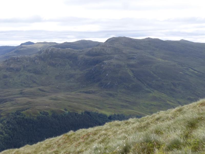
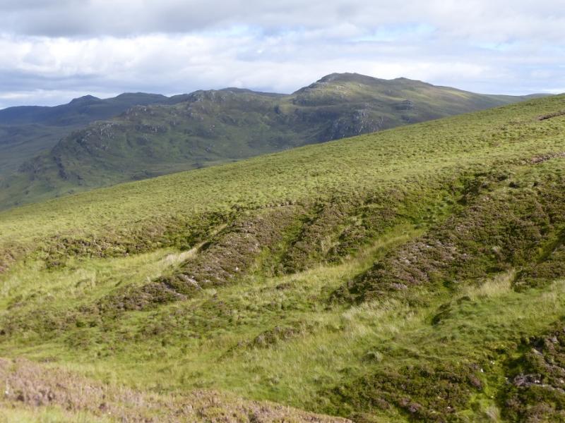
Carn na Coinnich
Carn na Coinnich from Bridgend Strathconon
Start/Finish
The bridge, just before Bridgend in Strathconon. This is about 2 miles after the end of Loch Meig and is the first place where the “main road” up the glen crosses the river. Parking is limited so park carefully trying not to cause an obstruction. Strathconon is a long glen which starts at Marybank on the A832 road between Contin and Maryburgh. It is about 9 miles from here to the start and the road, although very scenic, is narrow in places.
Distance/Time
13 km . About 4 hours.
Peaks
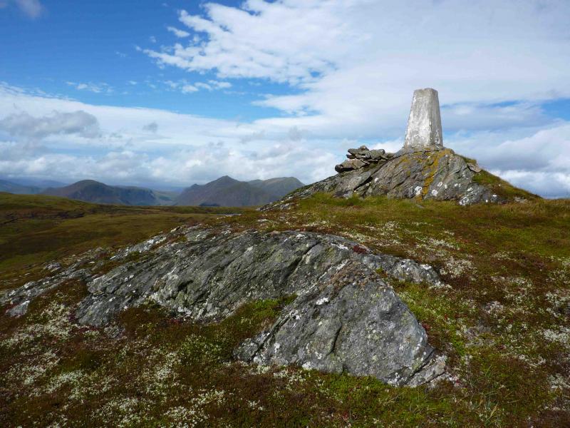
Carn na Coinnich, 673 m, NH 324 510. OS sheet 26.
Introduction
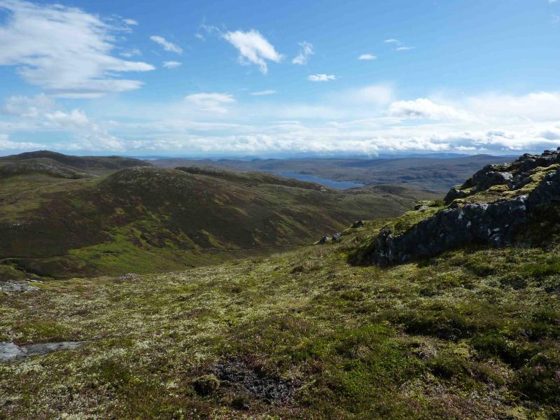
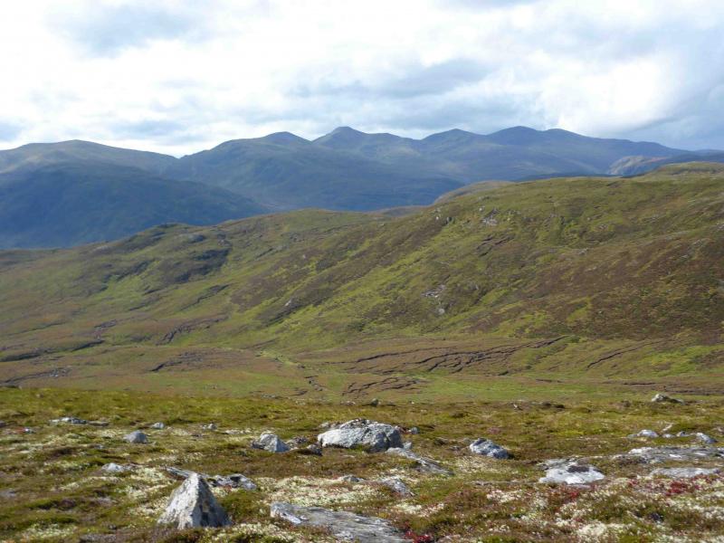
This is a pleasant horseshoe in remote country. On a clear day there are good views of the prominent Strathfarrar hills to the S, Maoile Lunndaidh to the SW, the Moruisg hills to the W and the Sgurr a' Mhuillin range to the N. Very prominent to the SE is the Orrin Reservoir. The route of ascent is usually retraced as a good track goes to within a km of the summit. It might be possible to make a circular walk by descending W to reach the path/track before Meall a' Giubhais but this possibility has not been checked out.
Route
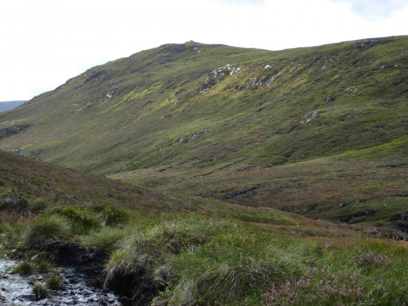
(1) From the bridge, take the track along the S bank of the river. Go past the wood on the left to reach a junction. Take the reverse fork left which goes back to the wood, along its SW edge before heading S. At a junction, go left, SE and follow the track for a further 3 km to reach the bealach, at about the top of the track, between Carn na Coinnich and Meall a' Bhogair Mor to the E. This is just past a peat hag to the W and there is a large boulder below the track. From here, pick a way roughly W to the crest of the N ridge and follow it S to the trig point which marks the summit of Carn na Coinnich, 673 m. An ATV track appears before the summit.
(2) Return by the outward route. It is possible to follow the ATV track N further along the ridge before descending to the track but this is quite boggy and not recommended. The wood near the start can be passed on its E side but the ground is quite damp and it is no quicker.
Notes
(a) This walk took place on 28th July, 2005, and 8th September, 2009.
Photos - Hover over photo for caption. Click on to enlarge. Click on again to reduce.