Get Lost Mountaineering
You are here: Scotland » 01 South of Oban to Stirling and Fife » Loch Earn to Loch Tay
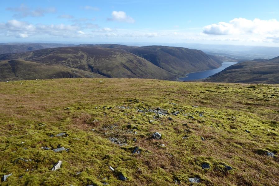
Auchnafree Hill
Auchnafree Hill from Loch Turret Dam
Start/Finish
Car park just below the Loch Turret dam. From the A85 Crieff to Comrie road, take the minor road on the western edge of Crieff which is signposted Monzie and The Famous Grouse Distillery. Drive past the distillery, go round the right hand bend, cross the bridge then take the next left just before The Hosh Farmhouse. This turning is easy to miss. Follow this minor road uphill for about 6 km to the large car park just below the Loch Turret Dam. On 9/3/12, this road was developing a few small potholes and had a 10 mph speed limit for most of its length apart from where it passes a house with children where it drops to 5 mph.
Distance/Time
14 km Approx 5 hours
Peaks
Auchnafree Hill, 789 m, NN 808 308. OS Sheet 52.
Introduction
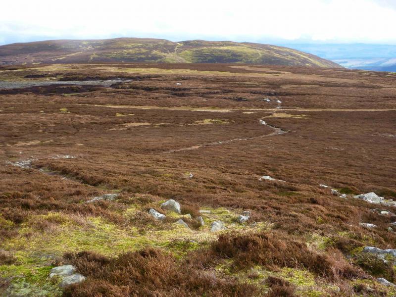
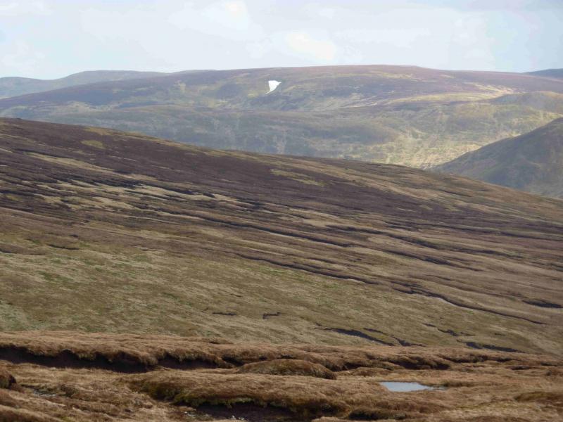
This Corbett provides a wild high moorland walk in an area of solitude. The hill has a large summit plateau from which, on a clear day, there are extensive views. Ben Chonzie lies just across the head of Glen Turret and dominates the view to the W. The sprawling mass of Creagan na Beinne dominates the view to the N and NW.
Route
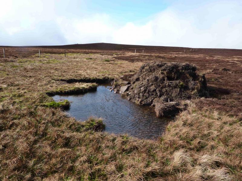
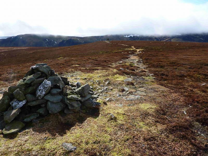
(1) From the car park, walk along the track on the E side of Loch Turret. After about 2 km, the burn coming down from between Tor Eich and Choinneachan Hill is reached. On 9/3/12, this had large stepping stones on either side of the track. A little further, a grassy track cuts back up the hill side. This is not shown on the map. Follow the track up until it ends. About here, a faint path heads uphill on the left, N, ascending Tor Eich. Follow this path through the heather, it is hard to follow where it leaves the heather but there are a few grassy sections which are easily ascended. The slope is quite steep and could be intimidating in windy or winter conditions. The angle soon eases and one emerges on the plateau of Tor Eich where there is a small cairn. From here, walk ENE, on easy heather to intersect with the track shown on the map. To avoid the steep ascent up Tor Eich, it looks possible to traverse, above the burn, on the S side of Tor Eich from the end of the track. Such a traverse will lead to the track, shown on the map, which crosses the burn. Once on the track, follow it to its highest point on Tor Eich. From here, the map suggests that it is a relatively easy walk curving round to the summit of Auchnafree Hill. The heather is not too bad, being short to medium in height but the ground is broken up by peat hags which, whilst not too difficult to negotiate, significantly slow progress. Heading towards the NE side of the wide crest should lead one to some large fence posts which can be followed roughly NW until they soon end at a post in a pile of stones. Continue in the same direction and soon meet a line of fence posts coming in from the right. These continue up the crest and pass about 100 m to the E of the summit. If the summit is not visible, head W to SW at the highest point of the fence. If you go too far, a track* will be met which seems to come up from Glen Almond to the NE. There are two obvious cairns about 100 m apart. The smaller one marks the summit of Auchnafree Hill, 789 m. The larger cairn, just about large enough to shelter from any strong winds, lies slightly lower towards Glen Turret. There is a path between the two cairns.
(2) Descend to the lower cairn, then follow the obvious path, roughly SSE, which soon intersects with a grassy ATV track. Turn left and follow it down (the track soon improves) to the track shown on the map which is the same track as crossed on Tor Eich. Turn right onto the main track and follow it down to Glen Turret about 400 m N of the head of Loch Turret. Turn left and follow the track along Glen Turret, past Loch Turret, back to the start.
Notes
(a) This walk took place on 18th February, 2003, and 9th March, 2012.
(b) A quicker ascent, without any heather or peat hag problems, is to reverse the route of descent. Walk along the Glen Turret track. Go about 400 m past the head of Loch Turret before heading up ESE on the track shown on the map. The grassy track goes off left well before crossing the burn which flows down from near the summit. Follow the grassy track then faint path to the lower summit cairn then the path to the actual summit.
(c) An alternative ascent (or descent) is to use the long winding track which starts at the dam and goes over Choinneachan Hill, only 2 m lower than Auchnafree Hill, to Tor Eich. This is, as the map shows, a significantly longer route but is easy to walk for those who wish to spend more time in the solitude of these hills.
(d) An alternative ascent is possible from near Auchnafree in Glen Almond. One can cycle to hear from Newton Bridge on the A822 Crieff to Dunkeld road. The map shows a track ascending up to Crom Chreag but may well go much further and be the track referred to above* near the summit.
Photos - Hover over photo for caption. Click on to enlarge. Click on again to reduce.