Get Lost Mountaineering
You are here: Scotland » 12 Glen Cannich to Glen Carron » East of Strathcarron & Achnashellach
Moruisg & Sgurr nan Ceannaichean
Moruisg & Sgurr nan Ceannaichean from A890 near Loch Sgamhain
Start/Finish
Lay by on the A890 about 0.7 miles from the W end of Loch Sgamhain on the A890 road from Achnasheen to Lochcarron. The path starts at about NH 081 521and goes to a bridge over the river then a bridge under the railway both of which should be visible from the road.
Distance/Time
12 km. About 8 hours.
Peaks
Moruisg, 928 m, NH 101 499.
Sgurr nan Ceannaichean, 913 m, NH 087 480. OS sheet 25.
Introduction
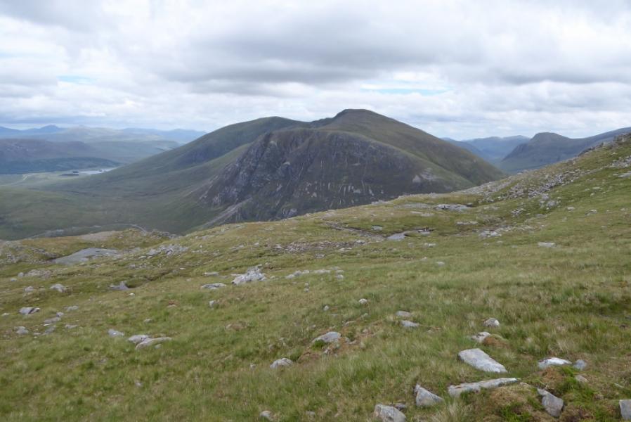
This used to be a relatively easy walk to ascend two Munros but Sgurr nan Ceannaichean has now been demoted back to the Corbett it once was. It is a finer peak than Moruisg so worthy of a visit even by those just out to “bag” Munros. There are very good views. To the N lies Fionn Bheinn and the Fannaichs, to the NW are the Torridon mountains, to the W are the Coulin hills but most prominent are the hills just to the S, across the Pollan Buidhe which include Maoile Lunndaidh, Sgurr a' Chaorachain and Sgurr Choinnich. The walking is quite good except lower down near to the road.
Route
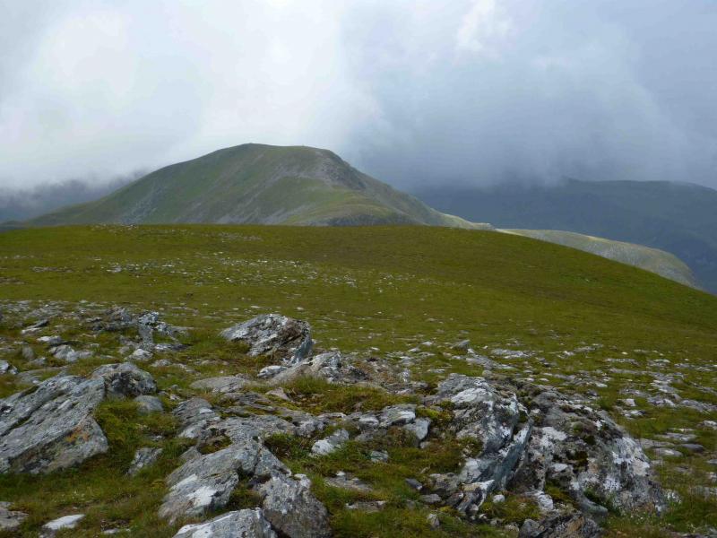
(1) Follow the path over the river and under the railway. The path shown on the 1985 map goes W but another path, faint in places, goes straight on, on the left of two obvious wide gullies and between a stream further to the left. When the path is faint, keep in this general direction and a good path will appear at the top of a gully which can be followed up grassy slopes on to the summit plateau. There are two cairns. The higher and smaller one marks the summit of Moruisg, 928 m.
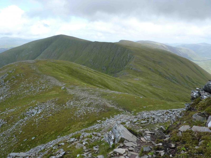
(2) From the summit go SSW to reach the edge of the cliffs above Coire Toll nam Bian where there is a good path. Follow this over a very shallow dip to Pt 854 then descend to the true bealach to the SW. Continue, picking a way, still on the path, up the conical peak. The main cairn is not the summit so go SE along the edge to a smaller cairn which marks the summit of Sgurr nan Ceannaichean, 913 m.
(3) Retrace until the path levels off and divides. Go left, N, down the ridge on a path. Resist the temptation to go E, off the ridge, to locate the stalker's path in Coire Toll nam Bian as the going is quite rough. Stay on the ridge. If the path becomes too faint to follow, drift to the right, E, side of the ridge. The path avoids the crags and passes the lowest crag on its left, W. When almost at the bottom of the ridge, cross the burn and join the stalker's path from Coire Toll nam Bian which can be very boggy but leads back to the railway bridge and the start.
Notes
(a) This walk took place on 26th July, 1993, 4th August, 2006, and 27th July, 2009.
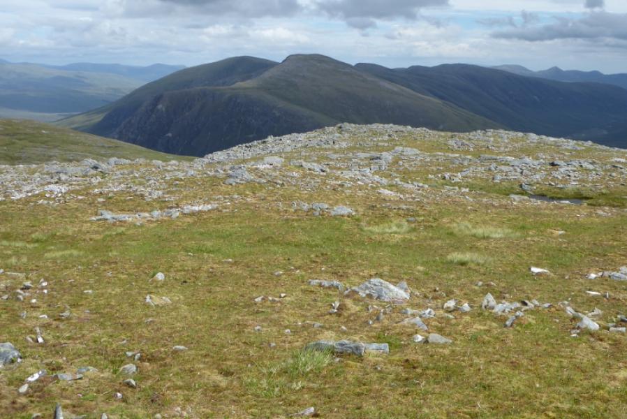
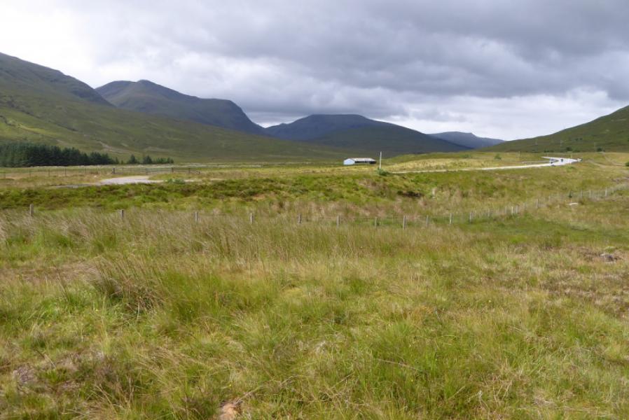
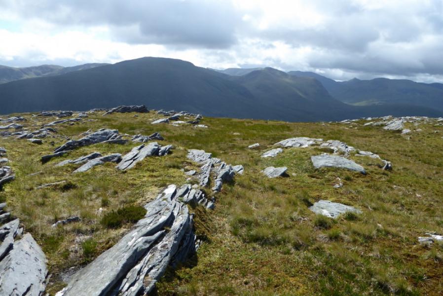
Photos - Hover over photo for caption. Click on to enlarge. Click on again to reduce.