Get Lost Mountaineering
You are here: Scotland » 15 Loch Broom to Easter Ross » West Of Strathcarron & Loch Vaich to Ullapool
Carn a' Choin Deirg
Carn a' Choin Deirg from near Glencalvie Lodge off Strathcarron.
Start/Finish
Access to Strathcarron is from Ardgay which is a village on the S side side of the Dornoch Firth opposite Bonar Bridge. This used to be the main road up the east coast until the causeway across the outer Dornoch Firth was built to avoid the long detour inland saving about 25 miles. Drive up Strathcarron on either side of the river but the N side will be needed eventually to reach The Craigs where there is a telephone box (might not now be there). Cross the river here. Pass Annat Lodge and drive to the bridge which goes over the river to Glencalvie Lodge. Cars can be left here with plenty of space for parking. It is possible that access may change in the future in which case cars would have to be left near The Craigs.
Distance/Time
12 km walk + 8 km bike. About 6 - 7 hours
Peaks
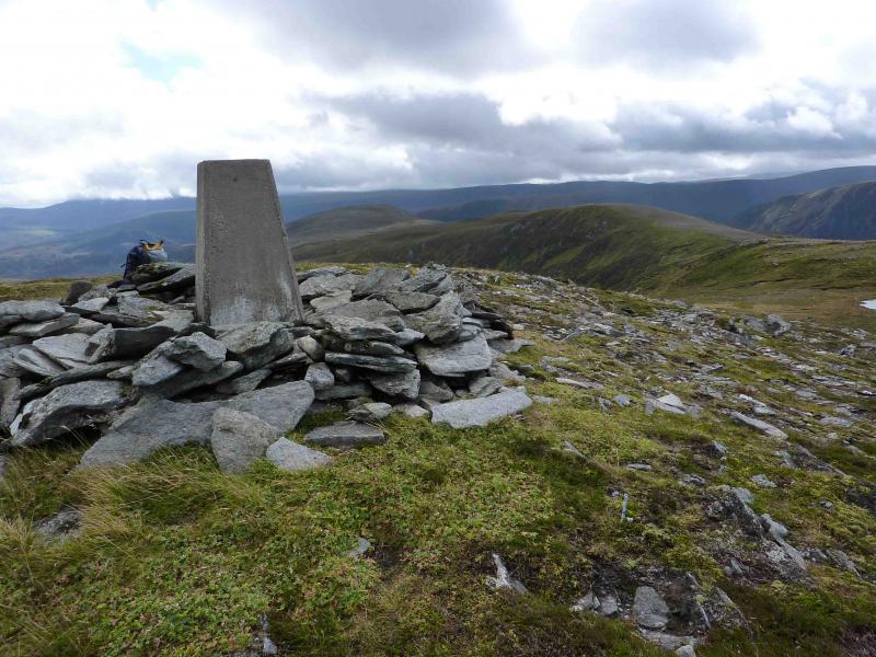
Carn a' Choin Deirg, 701 m, NH 397 923. OS map 20.
Introduction
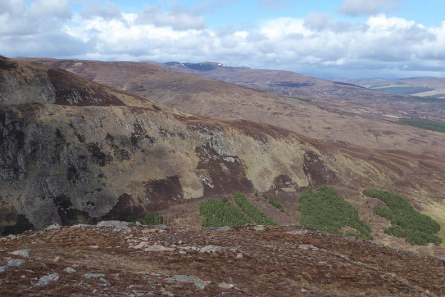
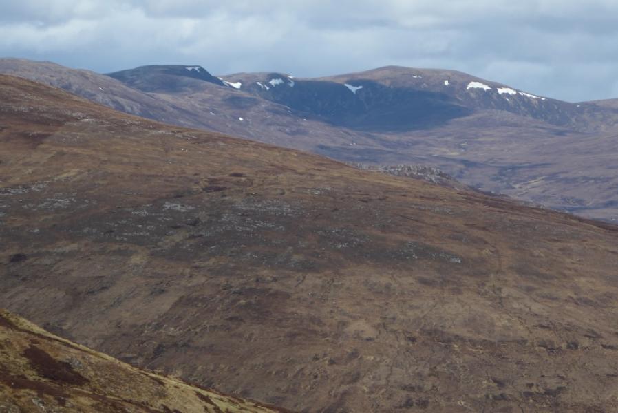
This is a remote hill in wild uninhabited country. In the past, access has been restricted then it improved. In 2009, the estate was being turned into a kind of wildlife park with wolves, wild boar and other extinct UK mammals and much fencing off was taking place. However, there seemed to be no barrier to walking access. There used to be a bothy where the Allt Riabhach meets the Alladale River but this was demolished and replaced by luxury lodges available for rent at high prices. Other developments were in the pipeline. In 2009, the estate had an office in Ardgay so it was possible to enquire about access. Such enquiries are recommended in advance of any walk as it is a long, slow drive to the start and one would not wish to then find there was an access problem. The ground is rough once off the tracks and paths but the views are worth it with Carn Chuinneag being especially prominent to the SE.
Route
(1) Cycle W along the track on the N side of the River Carron. This climbs steeply in places especially near Alladale Lodge. At about its highest point, there is a high gate across the track. If this is locked, it is best to leave the bicycle here and continue on foot, climbing over the gate if necessary. Otherwise, cycle downhill into Glen Alladale and leave the bicycle near to where the Allt Riabhach meets the Alladale River. Ahead should be seen the prominent crags of Carn Alladale. After crossing the Allt Riabhach on the track (it can be difficult to cross upstream), try to pick a way up the heather (not too deep) on the WNW ridge of Carn Alladale. The top is a stony plateau with a small cairn. Continue NNW along and undulating broad ridge passing by, the lochan at NH 401 907. Continue NW to the “bump” at NH 395 920. Turn slightly E of N here and locate the lochan at NH 396 921 then ascend, still slightly E of N, past a small lochan (not on the map) to reach the flattish top where a trig point marks the summit of Carn a' Choin Deirg, 701 m.
(2) Retrace the outer route or descend roughly SE towards Loch an Toll Riabhach from whereabouts a muddy ATV track ascends from near the loch and follows the Allt an Riabhach high above its E bank. This track eventually joins the main track in Glen Alladale just to the E of where the Allt an Riabhach crosses the track. Walk back to the bicycle and cycle back to the start.
Notes
(a) This walk took place on 30th March, 2005 and 6th September, 2009.
(b) An alternative ascent could walk up the side of the Allt an Riabhach for about 2 km then walk WNW up a shallow grassy gully aiming for the lochan at NH 401 907 then continue as above.
Photos - Hover over photo for caption. Click on to enlarge. Click on again to reduce.