Get Lost Mountaineering
You are here: Scotland » 16 Coigach to the Pentland Firth » Lochinver & Inverpolly
Beinn an Eoin (Revised 2017)
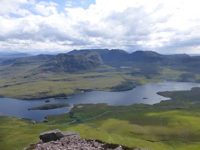
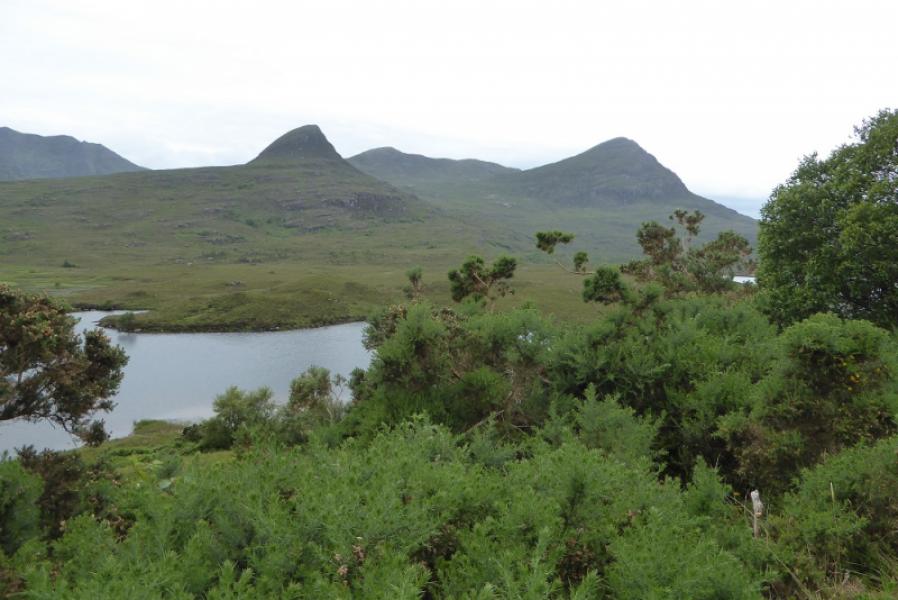
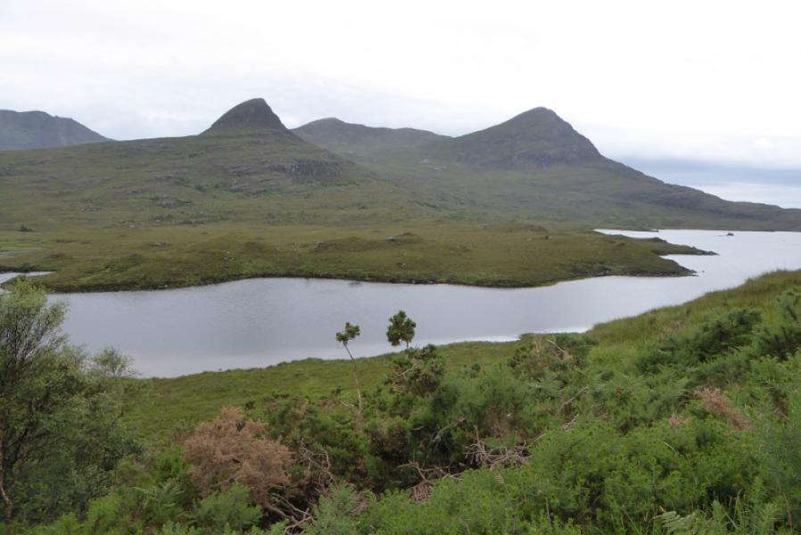
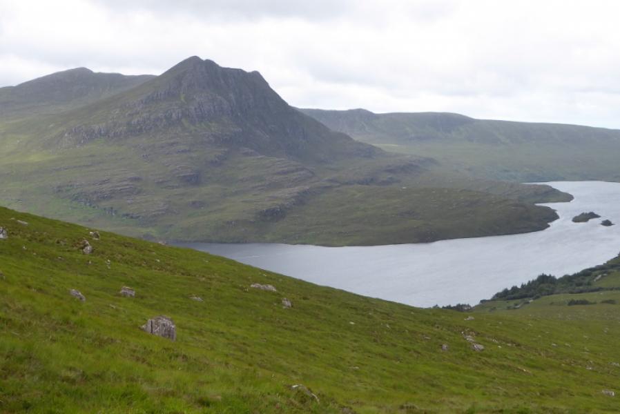
Beinn an Eoin from SE end of Loch Lurgainn on Stac Pollaidh road
Start/Finish
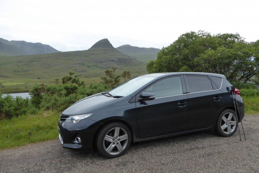
Park sensibly (not easy), near a “double passing place”, at the SE end of Loch Lurgainn, about 2 miles up the Stac Pollaidh road, which eventually goes to Achiltibuie opposite the Summer Isles.
Distance/Time
12 km. About 6 hours
Peaks
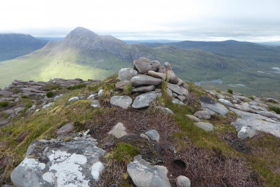
Beinn an Eoin, 619 m, NC 105 064. OS map 15.
Introduction
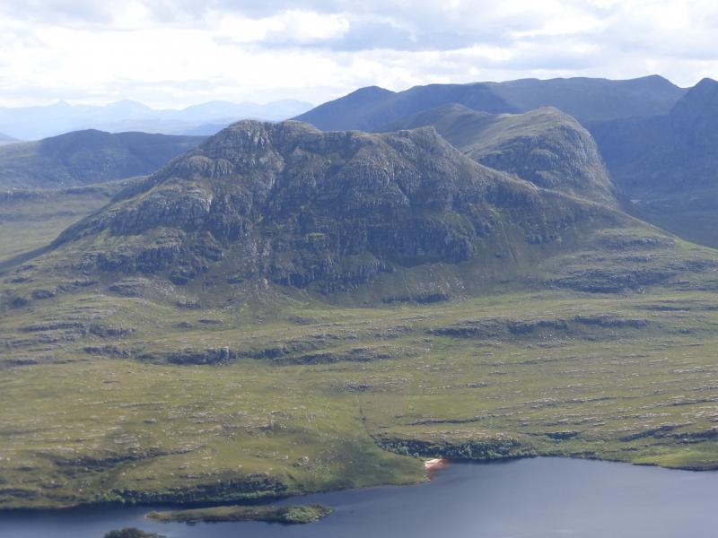
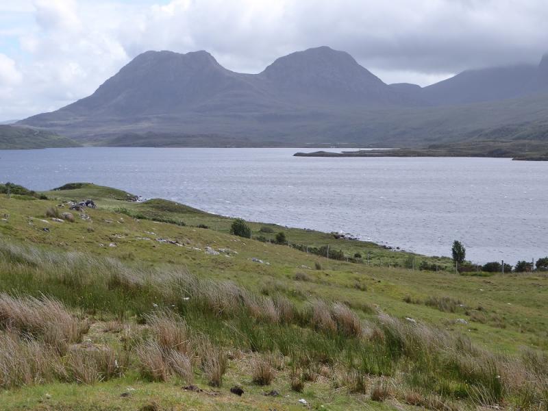
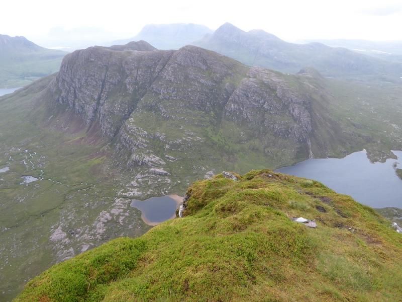
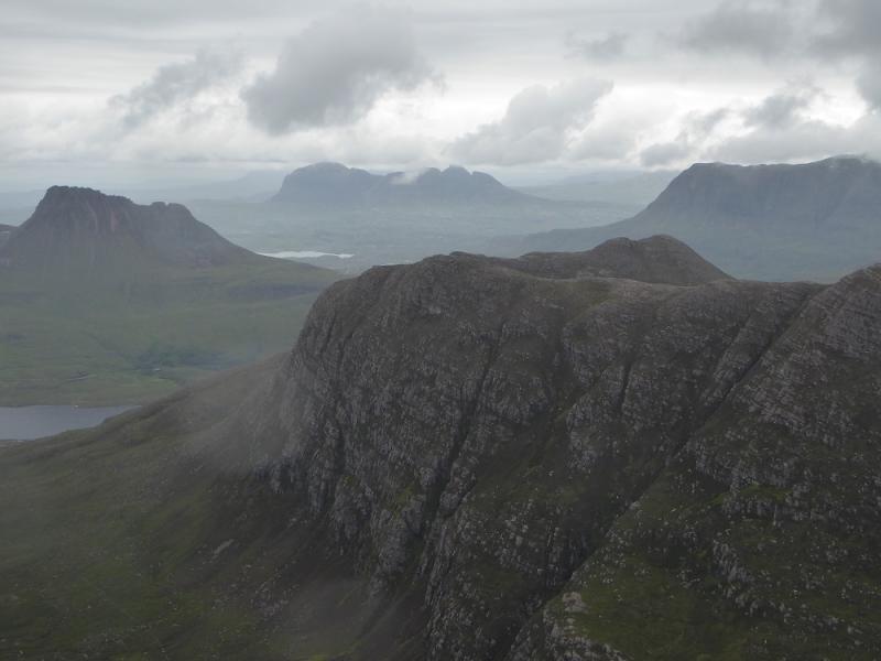
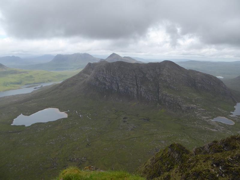
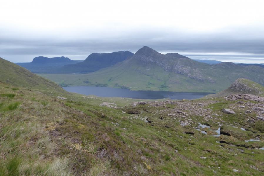
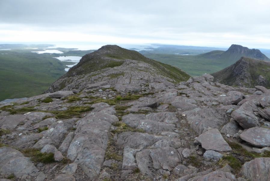
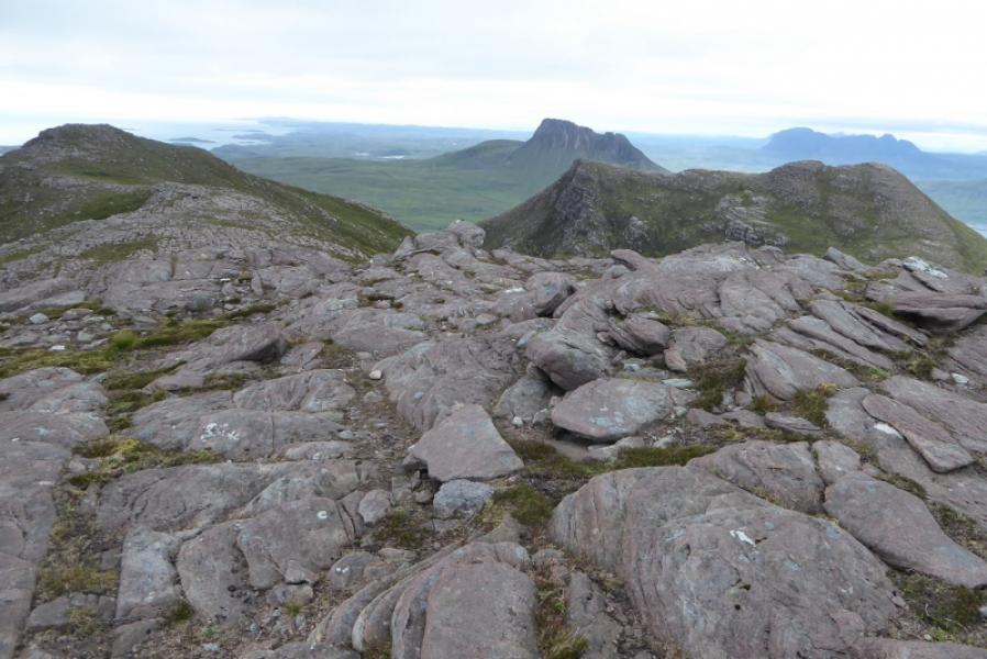
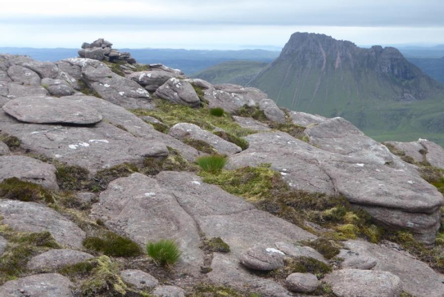
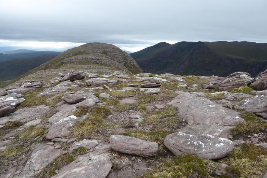
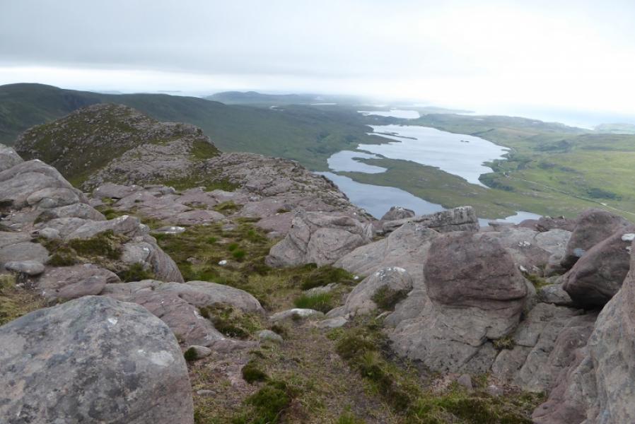
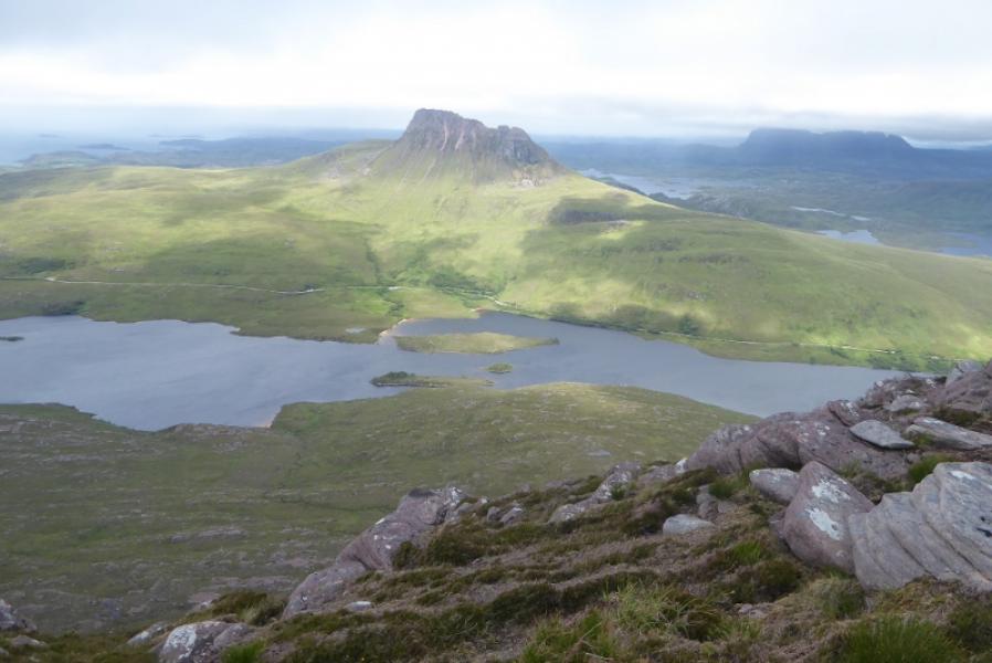
This is a fine mountain in an area of outstanding mountain beauty containing many individual mountain peaks and hundreds of lochans. The surrounding views are some of the best in Scotland and include the multi topped Ben Mor Coigach, Stac Pollaidh and Suilven. Beinn an Eoin actually has three distinct tops. These tops have separate names: Beinn an Eoin (main summit) Sgorr Deas is the north top of Beinn an Eoin whilst Sgorr Tuath (North Peak) is the lowest top but no less impressive. It is best to keep this hill for a fine day to enjoy the views and make the navigation less challenging especially between Sgorr Deas and Sgorr Tuath.
Route
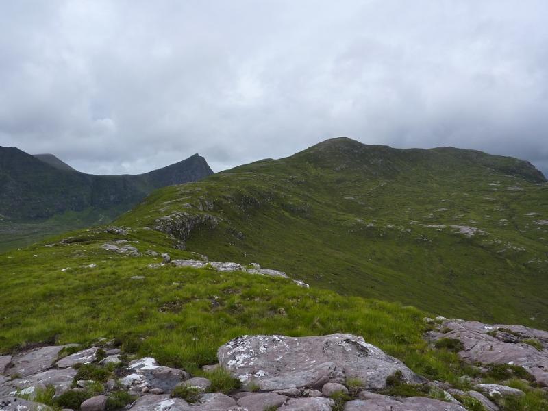
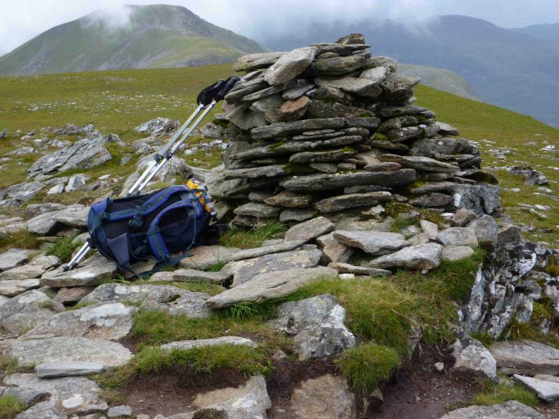
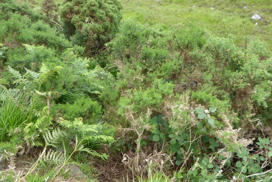
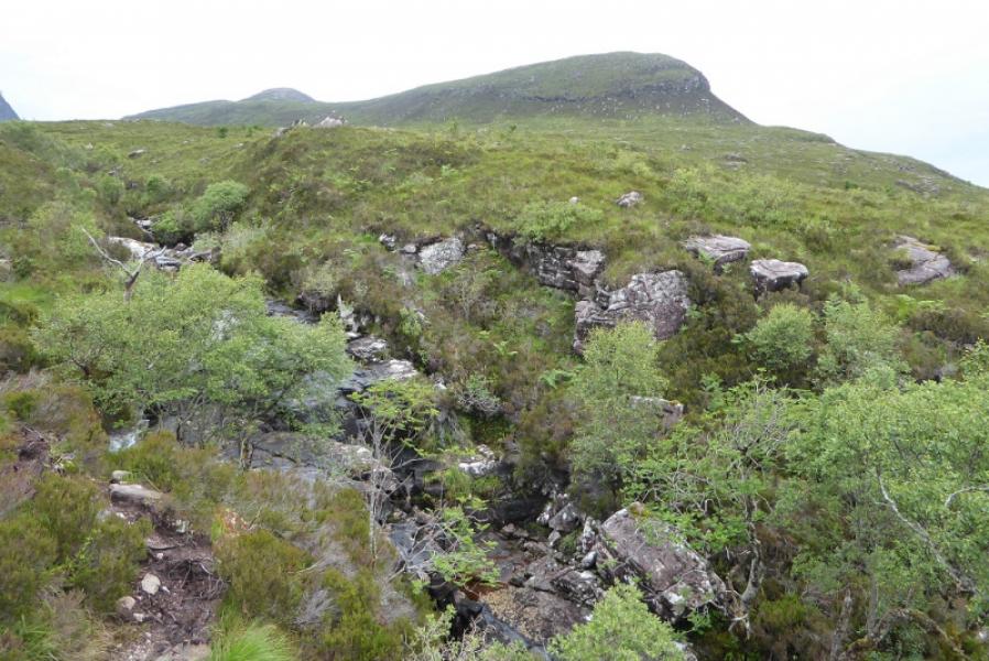
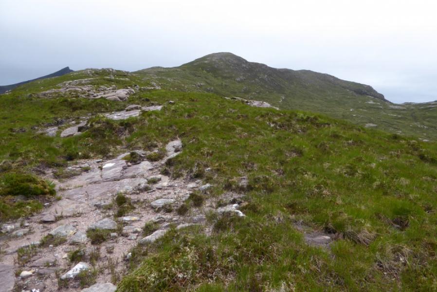
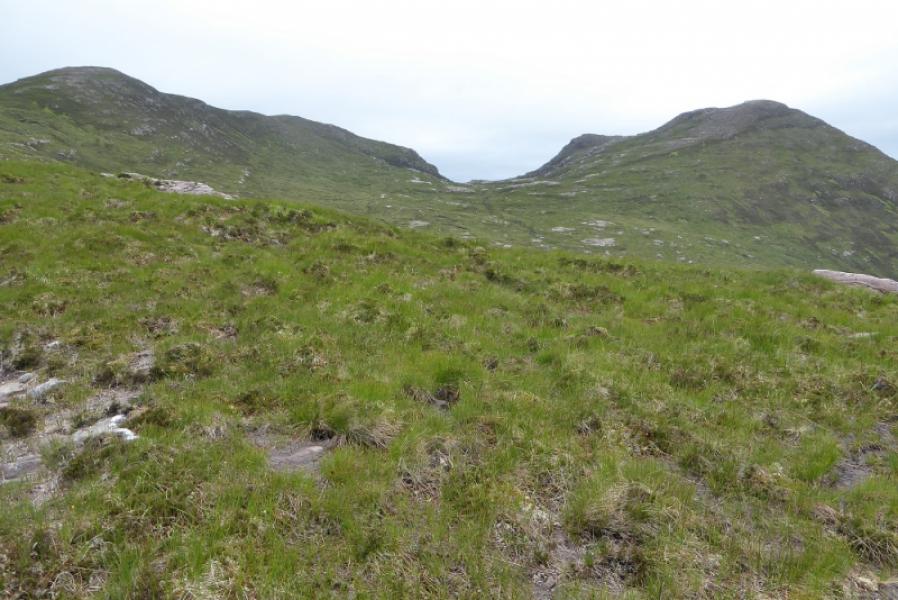
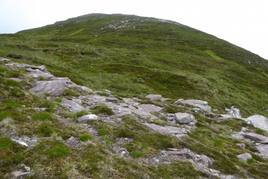
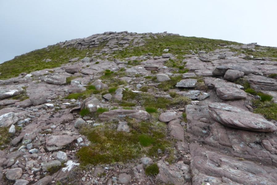
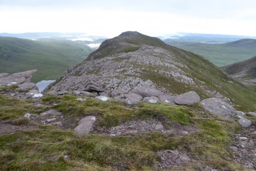
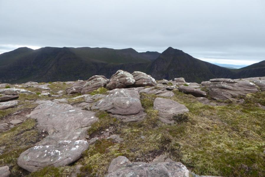
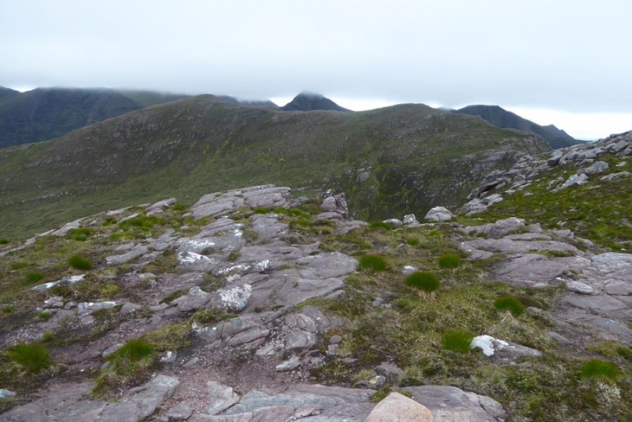
(1) Walk back about 50 m to the bridge then follow a path through gorse to a gate then a burn which is usually easy to cross. Continue on the path (boggy in places) which goes up the E side of the Allt Claonaidh. Cross the burn at a suitable point and head up on rough heather towards the crest of Cioch Beinn an Eoin. Some easy angled slabs on the left help with the ascent. Walk generally W along the well defined crest which gradually curves WNW before reaching the medium cairn which marks the summit of Beinn an Eoin, 618 m.
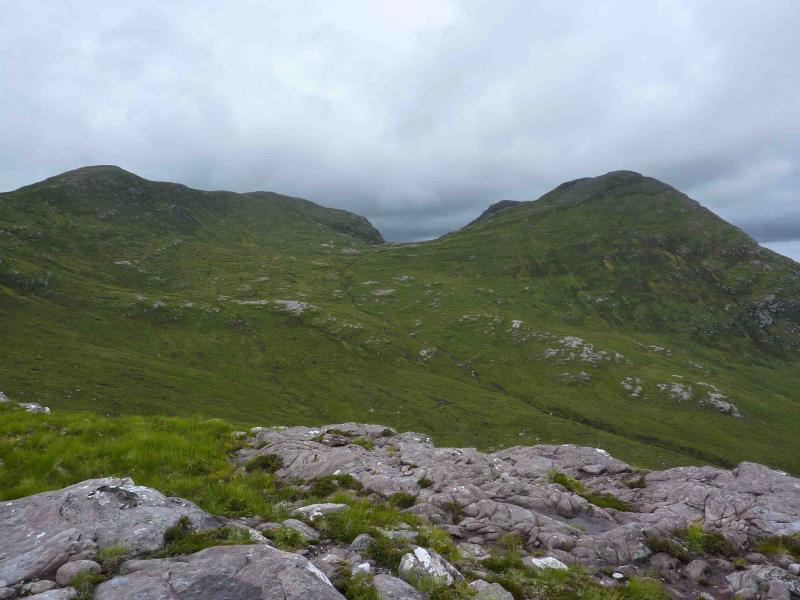
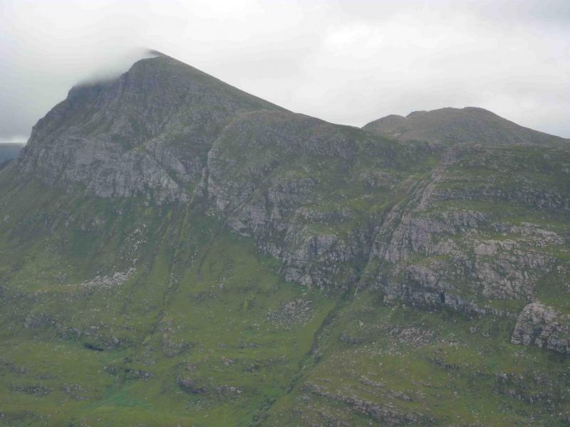
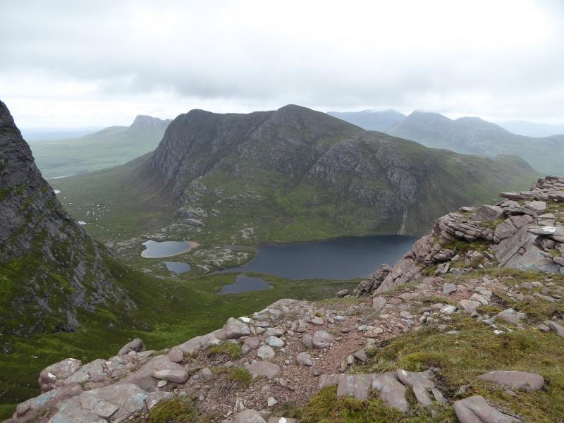
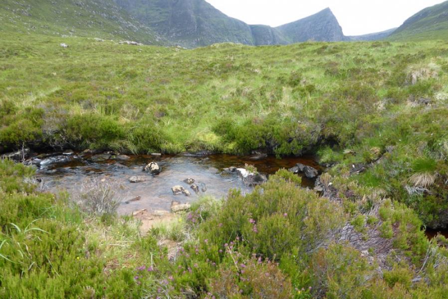
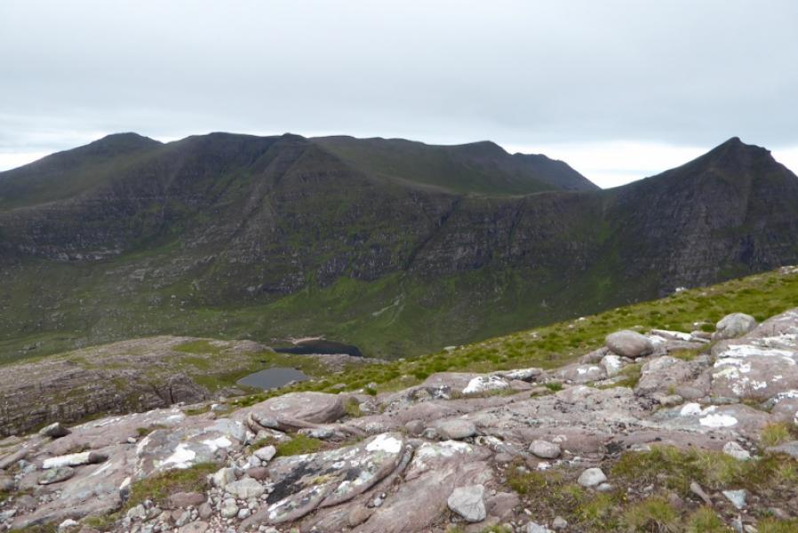
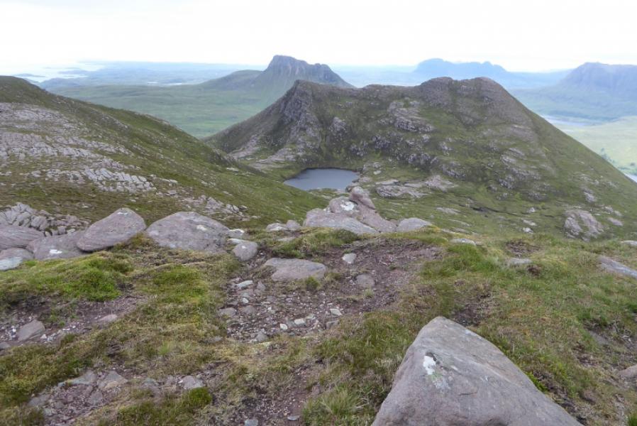
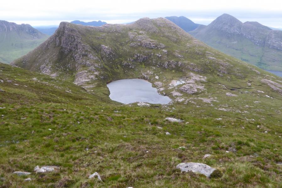
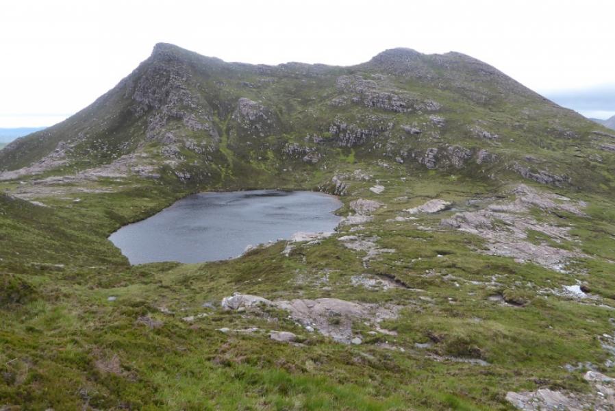
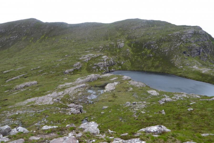
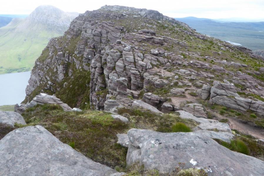
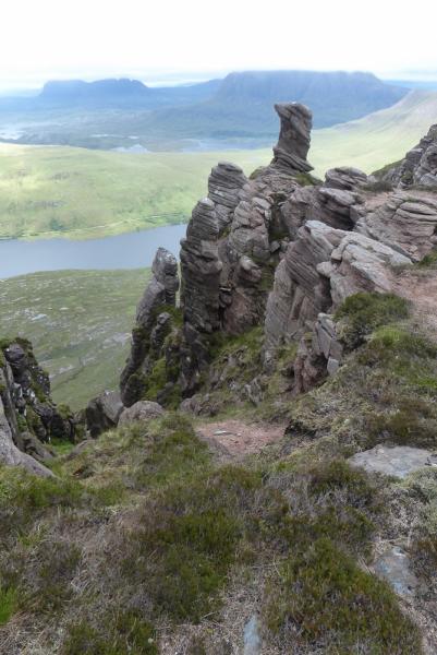
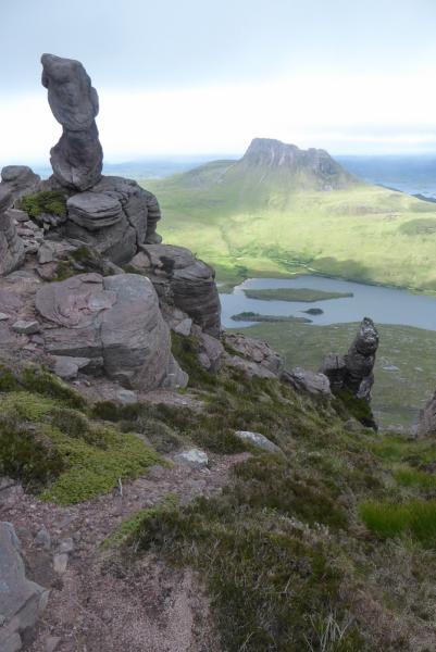
(2) The continuation to Sgorr Tuath is quite rough. It is probably best to follow the ridge NW for a while to the top known as Sgorr Deas then pick a way E down to the lochan nestling between the two tops. If the ridge is followed too far, it ends in steep crags. Pick a way up the other side, on rough and steep ground, to reach the crest where there are two tops with a deep fissure on the W top. There are sandstone pillars to the N which are similar to those found on Stac Pollaidh across Loch Lurgainn.
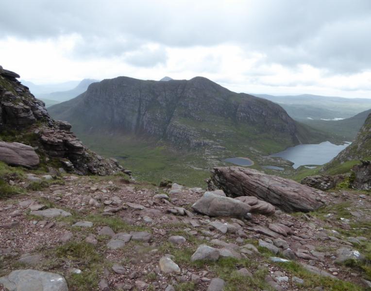
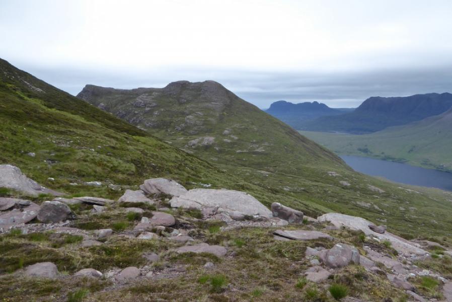
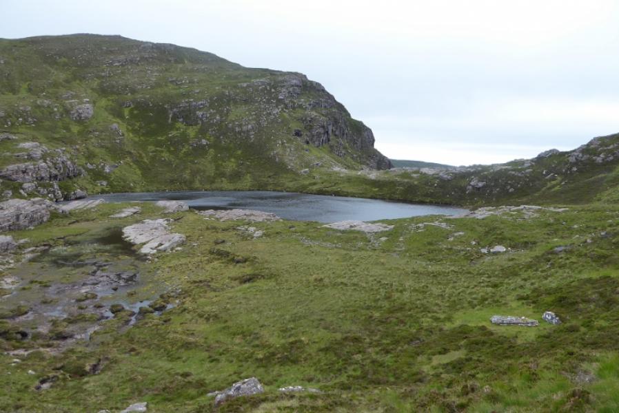
(3) Go to the E top then descend roughly S, contouring around the corrie. Cross the crest of Cioch Beinn an Eoin then descend down to the Allt Claonaidh and retrace the outward route.
Notes
(a) This walk took place on 1st July, 2017, and on 23rd July, 2009 and was the author's final Graham on his first round.
Photos - Hover over photo for caption. Click on to enlarge. Click on again to reduce.