Get Lost Mountaineering
You are here: Scotland » 03 North-west Argyll, Appin and Glencoe » Ben Cruachan to Bridge of Orchy & Tyndrum
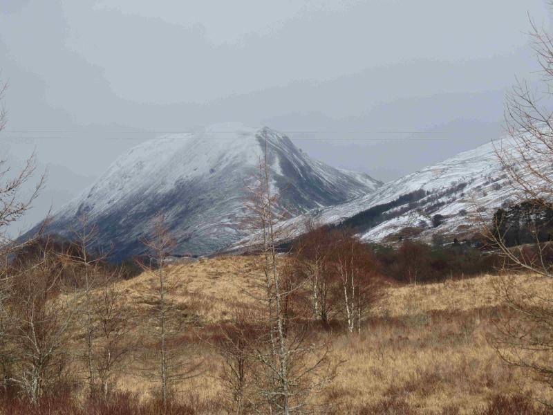
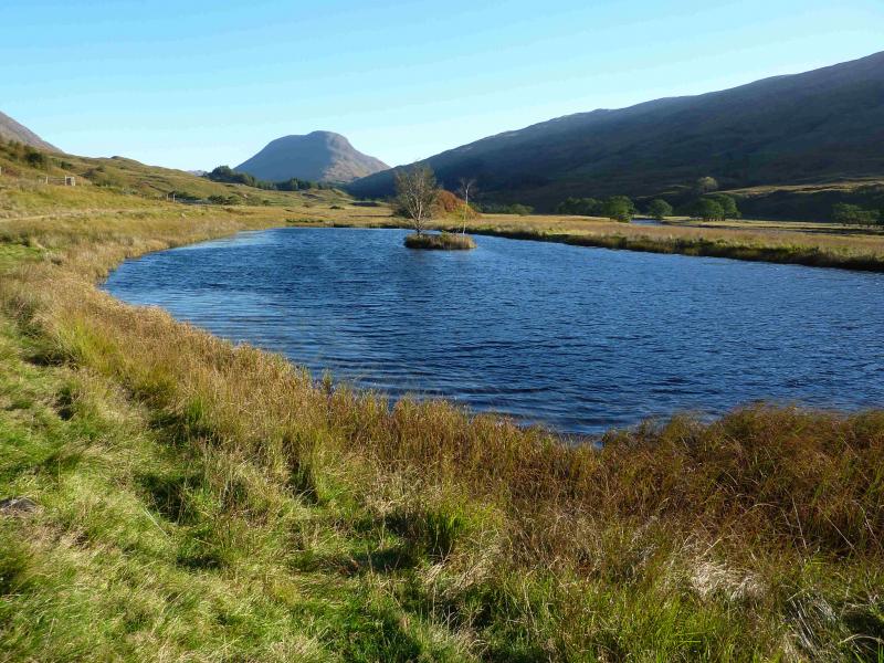
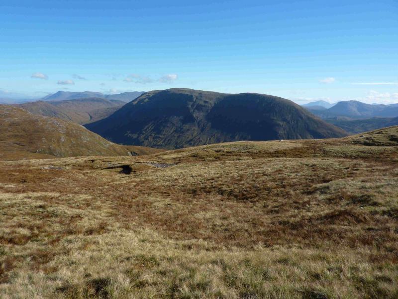
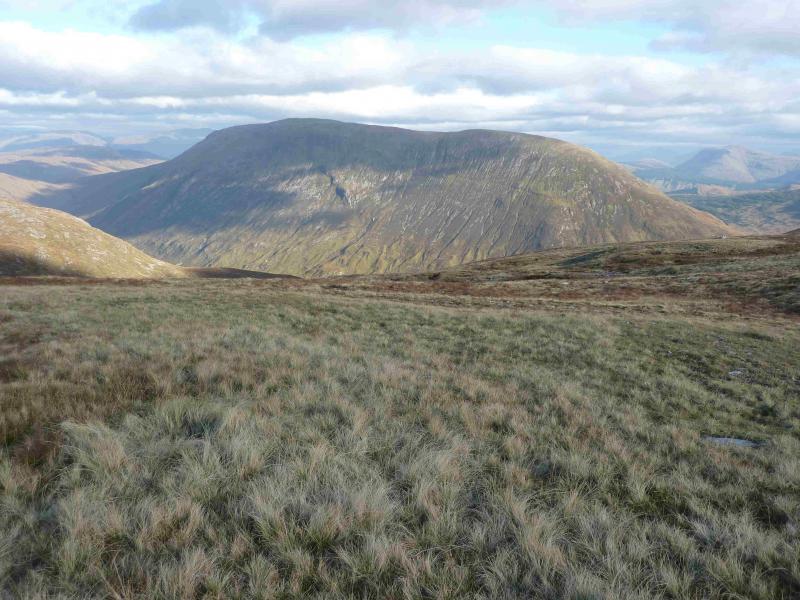
Beinn Mhic-Mhonaidh
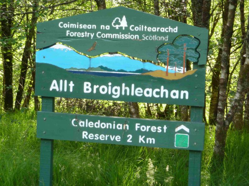
Beinn Mhic-Mhonaidh from Allt Broighleachan trail from Glen Orchy
Start/Finish
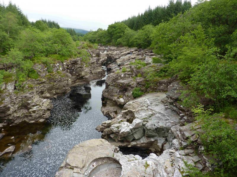
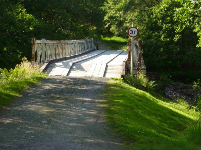
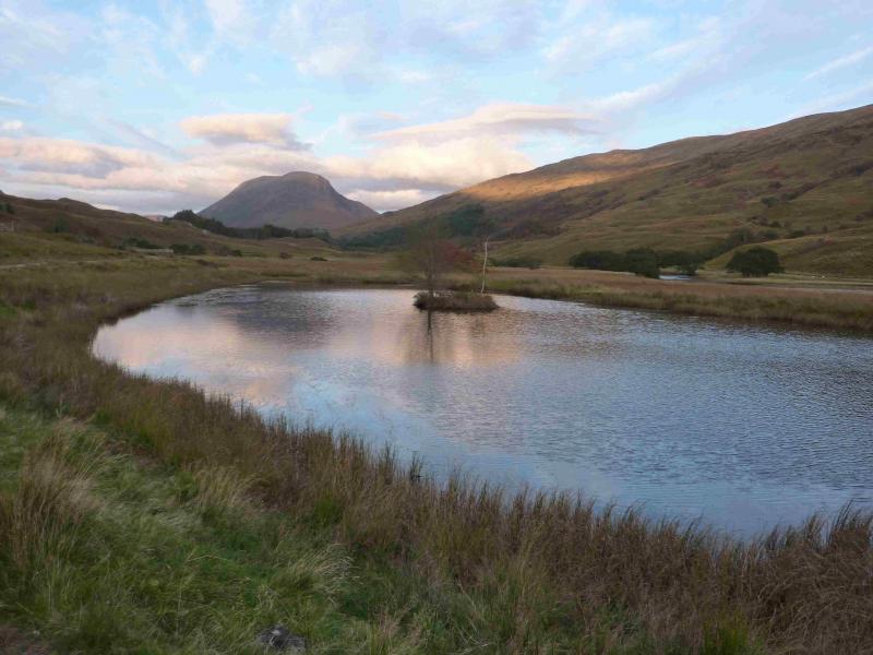
Baily Bridge at start of Allt Broighleachan trail at Eas Urchaidh (Falls of Orchy) in Glen Orchy. Driving down the B8074 minor road from Bridge of Orchy, it is about 5 miles to the start. From the Dalmally end, it is about 4 miles. The long baily bridge is very obvious even though it is set back from the road. There is usually plenty of parking either by the entrance to the bridge or a few metres towards Bridge of Orchy where there is an extra long and deep passing place.
Distance/Time
13 km About 5 hours.
Peaks
Beinn Mhic-Mhonaidh, 796 m, NN 208 350. OS sheet 50.
Introduction
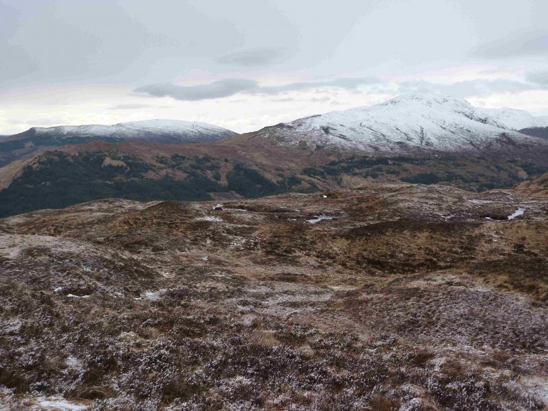
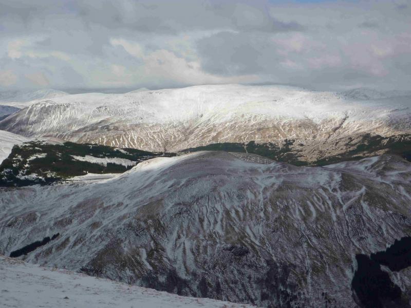
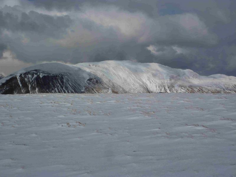
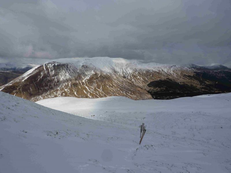
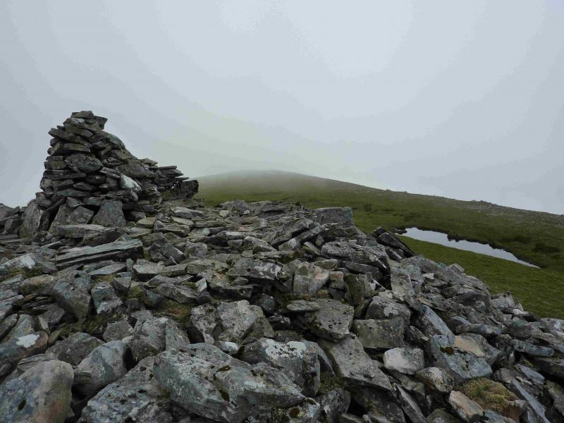
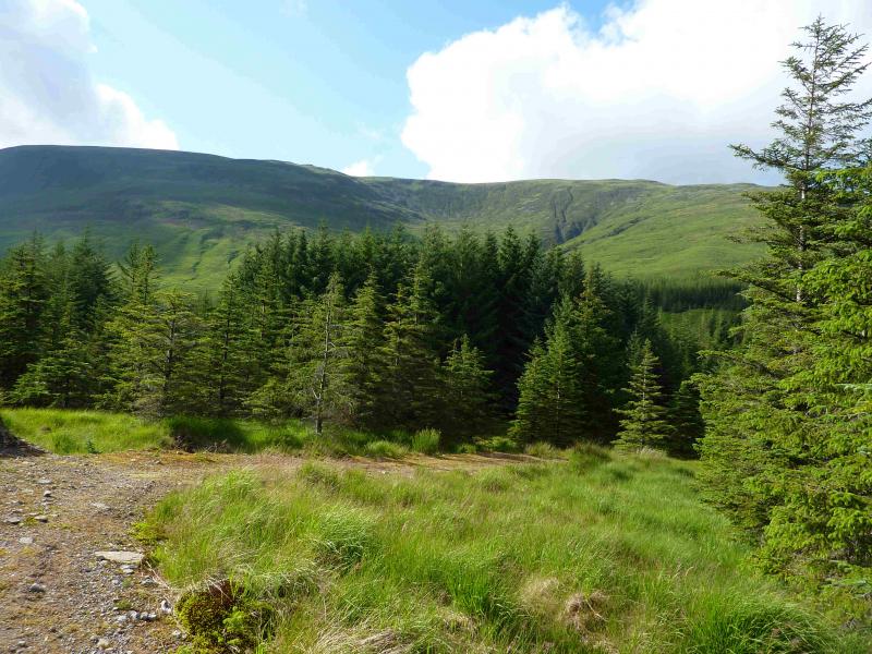
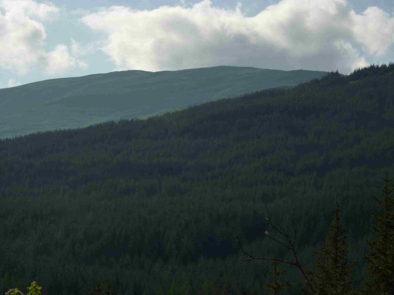
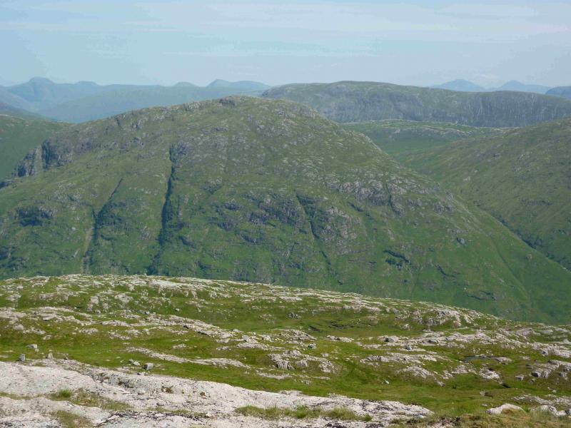
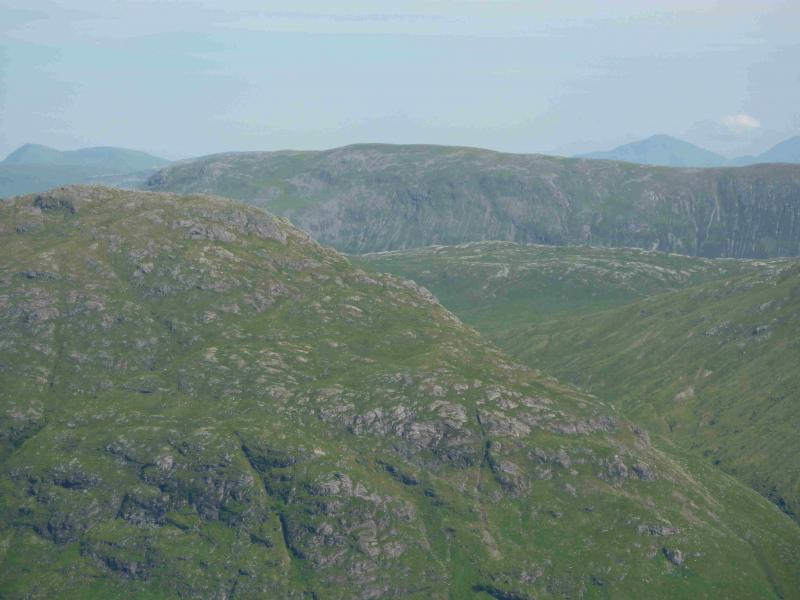
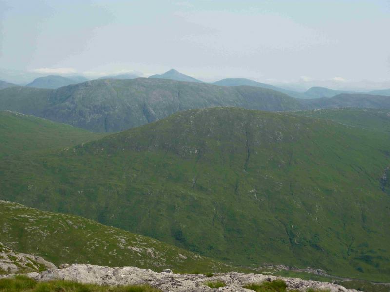
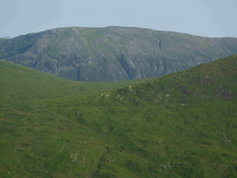
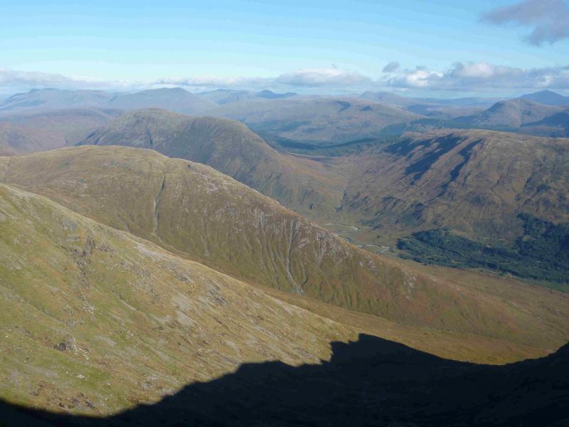
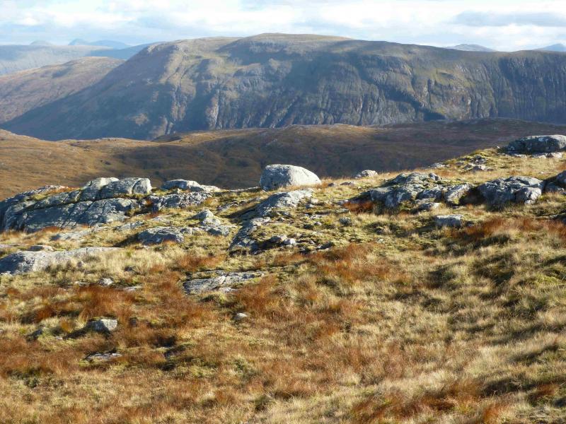
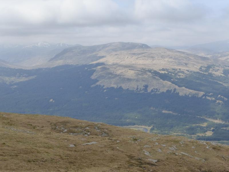
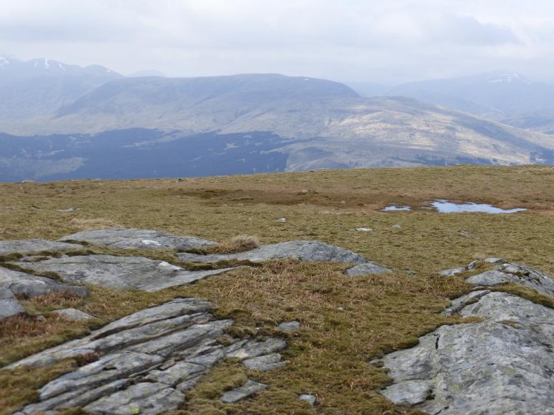
This route offers mixed walking. There is an easy access, maintained, track from the bridge to the far end of the forest after which it is a mainly pathless, steepish ascent on grass to a pleasant summit crest. The 1:50000 map shows only one lochan which is NE of the summit. There are actually quite a few so care would be needed in mist but the one shown on the map is by far the largest. In clear weather, Beinn Mhic-Mhonaidh is an excellent viewpoint for the Ben Cruachan, Ben Starav, Stob Ghabhar and Ben Lui ranges not to mention Beinn Udlaidh, Beinn Donachain and Beinn na Sroine. It is possible to cycle to the edge of the forest, about 4 km each way, but there are a few steep sections and a few rougher sections containing clusters of sharp spiky grass.
Route
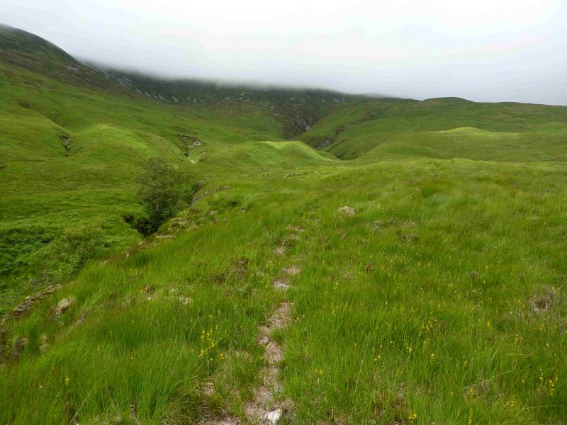
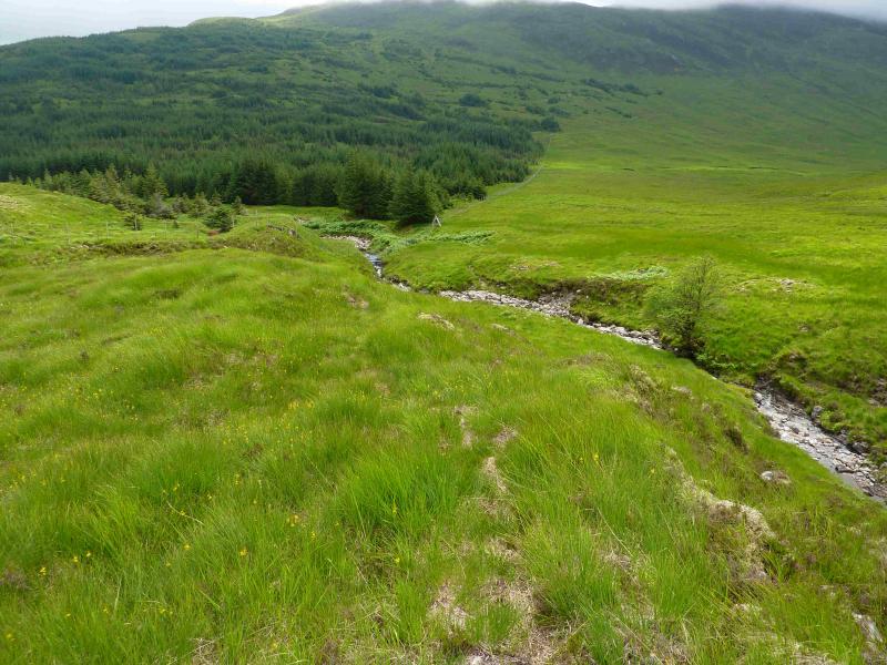
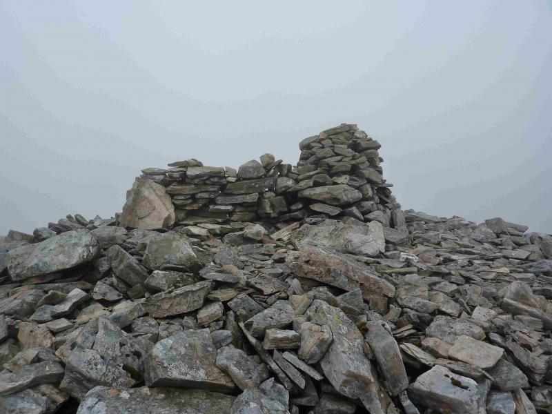
(1) Cross the bridge and walk up the track. After about 2 km, a sign indicating the cycle route to Bridge of Orchy and the “Mountain Access Route”, directs one across a wooden bridge then left through a rough “meadow”, which is mowed from time to time! Soon, the cycle route goes right and the Mountain Access route is signed ahead/left followed by a sign saying Beinn Mhic-Mhonaidh. Follow the track into the forest. There are a few short sections of track which has clusters of sharp spiky grass on it which may make cycling awkward but walking is straightforward. It seems that the mountain access track is not mowed! Three streams have to be crossed. All have stepping stones but the last stream has a stepping stone missing so a detour upstream might be necessary in spate conditions. Continue to a high stile on the edge of the forest. Note its position well as it will be used in descent. Cross the stile and go right on a vague path but a more distinct gravel path should be seen further right which the vague path leads to. The forest fence is followed for a short distance. The path initially ascends to the right of the deep prominent gully before following a tributary gully on the right. The ruins of some old shielings can be seen across the main gully. The path picks its way up the hill but gradually peters out so continue roughly N to NW, with easier ground to the right, to reach the crest. In mist it is a good idea to locate the principal lochan shown on the map. Follow the crest roughly SW to reach the medium cairn which marks the summit of Beinn Mhic-Mhonaidh, 796 m. A very short wall/wind break is attached to the cairn which stands on what seems to be the flattened remains of a much larger cairn. Two small lochans lie about 20 m to the E and W with the cairn on the line between them.
(2) Return by the same route. Note that a more direct descent, nearer to the main gully is much steeper than the ground used for the ascent.
Notes
(a) This walk took place on 31st October, 2002, and 18th July, 2013.
Photos - Hover over photo for caption. Click on to enlarge. Click on again to reduce.