Get Lost Mountaineering
You are here: Scotland » 03 North-west Argyll, Appin and Glencoe » Blackmount & East of Glen Etive
Stob Dubh & Beinn Ceitlein, Full Traverse
Stob Dubh & Beinn Ceitlein, Full Traverse from lower Glen Etive
Start/Finish
Small “car park” (holds about 4 cars) at about NN 137 468 in lower Glen Etive. This is just before the track which cuts back down to the River Etive to Coiletin and about 2 miles before Loch Etive.
Distance/Time
12 km walking & 10 km biking About 8 hours
Peaks
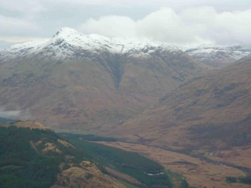
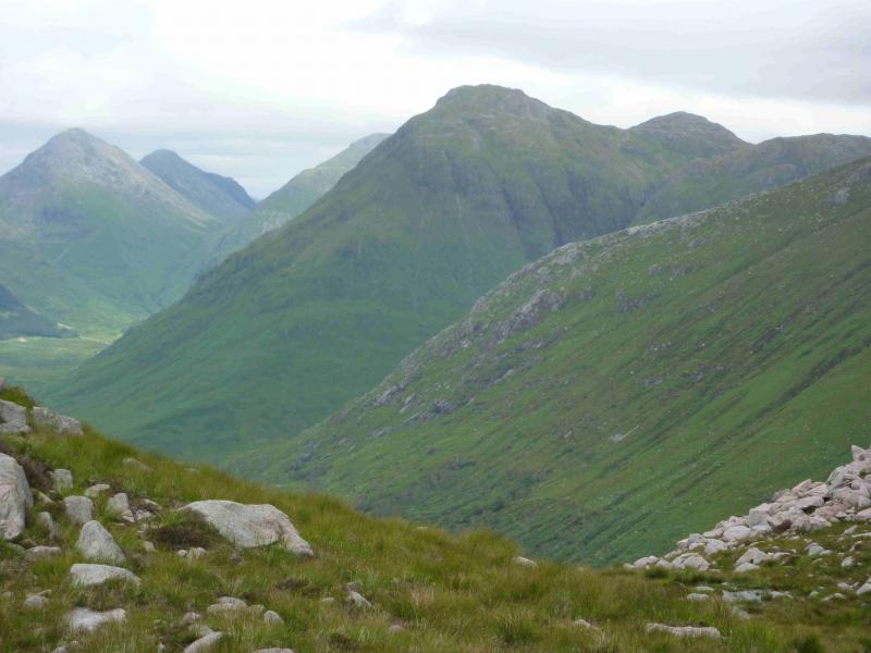
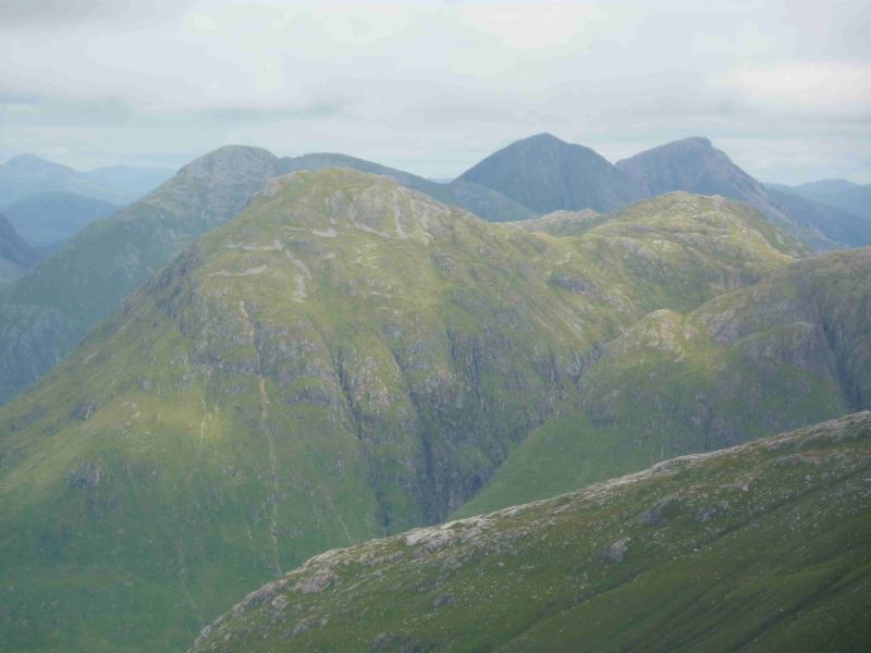
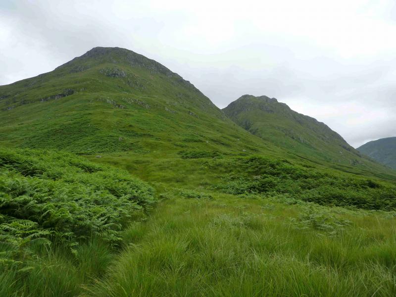
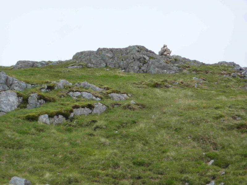
Stob Dubh, 883 m, NN 166 488.
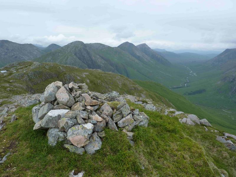
Beinn Ceitlein, S Top, 845 m, NN 174 488.
Beinn Ceitlein, N Top, 832 m, NN 177 493. OS Sheets 41 & 50.
Introduction
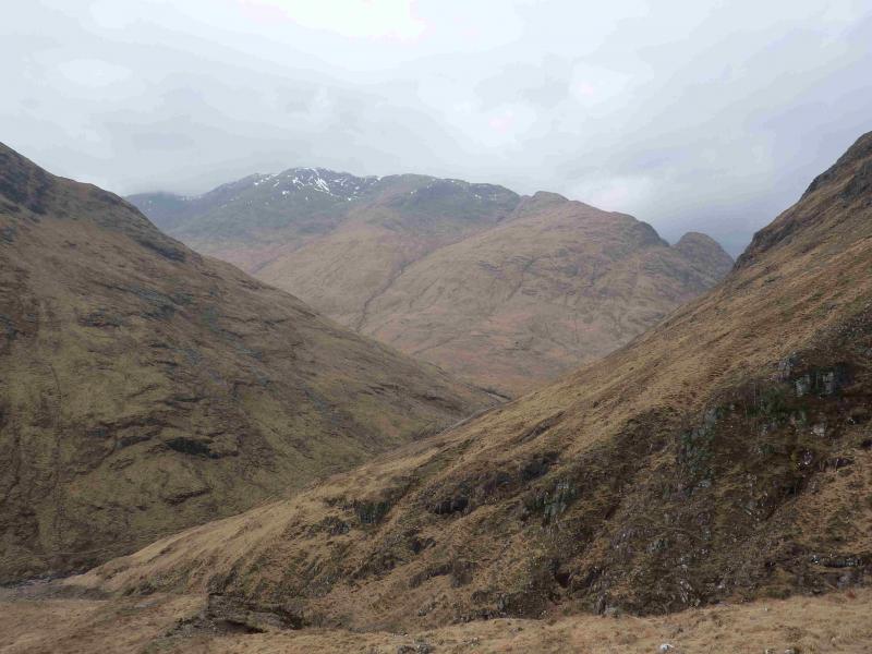
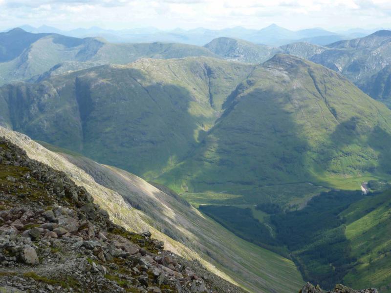
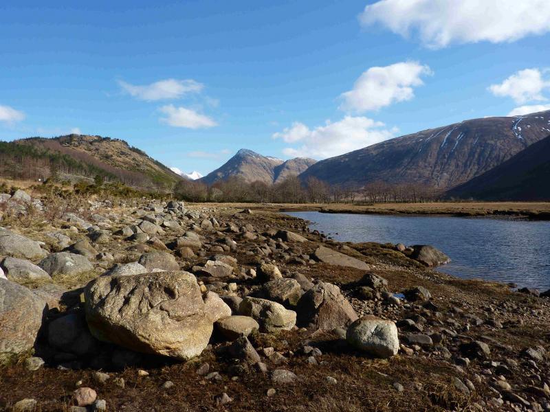
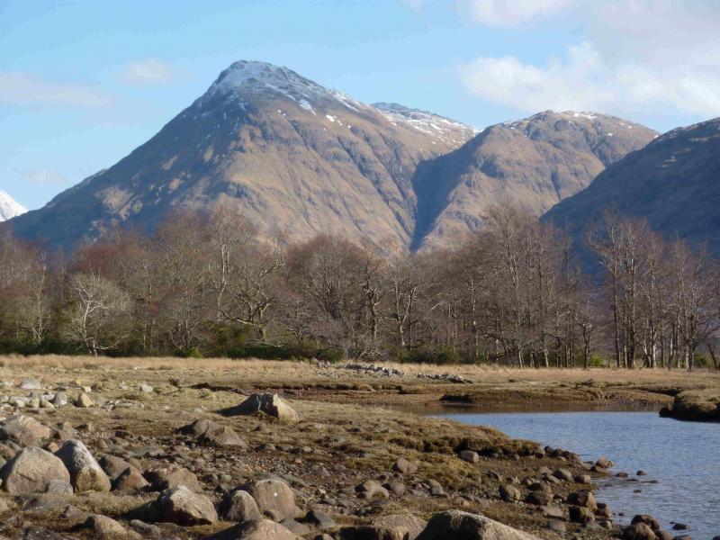
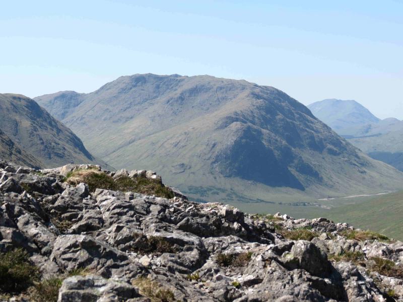
This is a steep and tough walk both in ascent and descent. Progress will be slow on very steep and rough ground. In winter conditions, this would be a very serious undertaking. Even in wet summer conditions, one has to be very careful on steep wet and slippery grass. In hot and dry summer conditions, dehydration is a major concern. The views from the summit are superb and include all the Glen Etive peaks and beyond. The start and finish are 10 km apart on the Glen Etive road. This would take about 2 hours to walk. If a bicycle is left at the end, it is a mainly downhill cycle back to the start and takes about 40 minutes. A car at the start and finish would also be a good idea. There are rivers to cross near to the end of the walk. These contain small boulders which make ideal stepping stones in normal conditions but, in spate, crossing would be difficult and it might be necessary to walk over rough ground to reach the bridge near Allchaorunn at NN 196 509. Unfortunately, the north end of Beinn Ceitlein is off the OS 50 sheet and on the OS 41 sheet. It is wise to check that the exit gate on the bridge at the finish is unlocked whilst leaving a cycle there.
Route
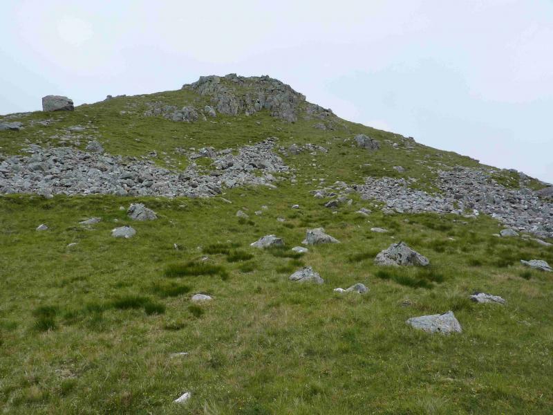
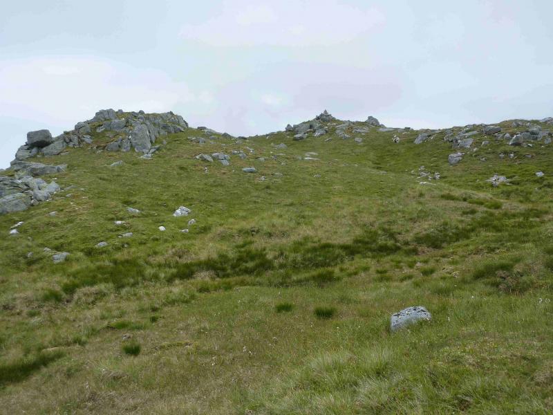
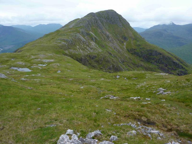
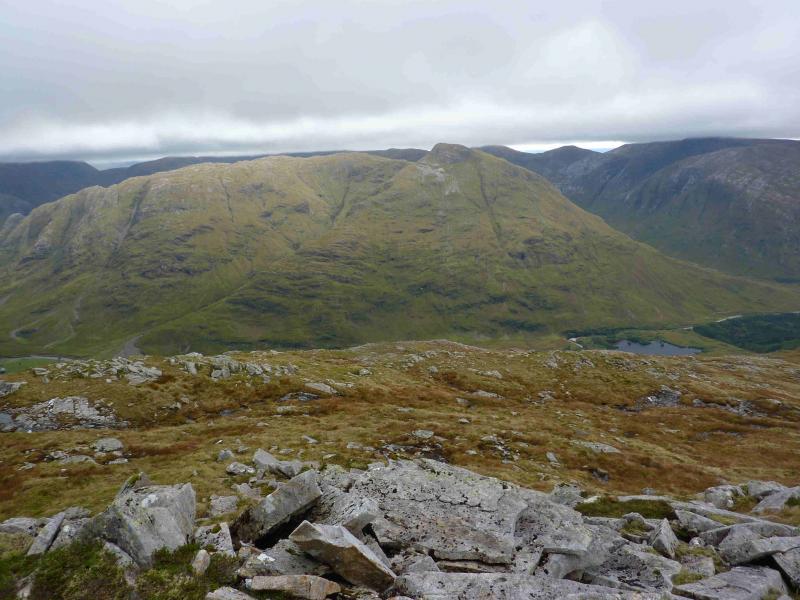
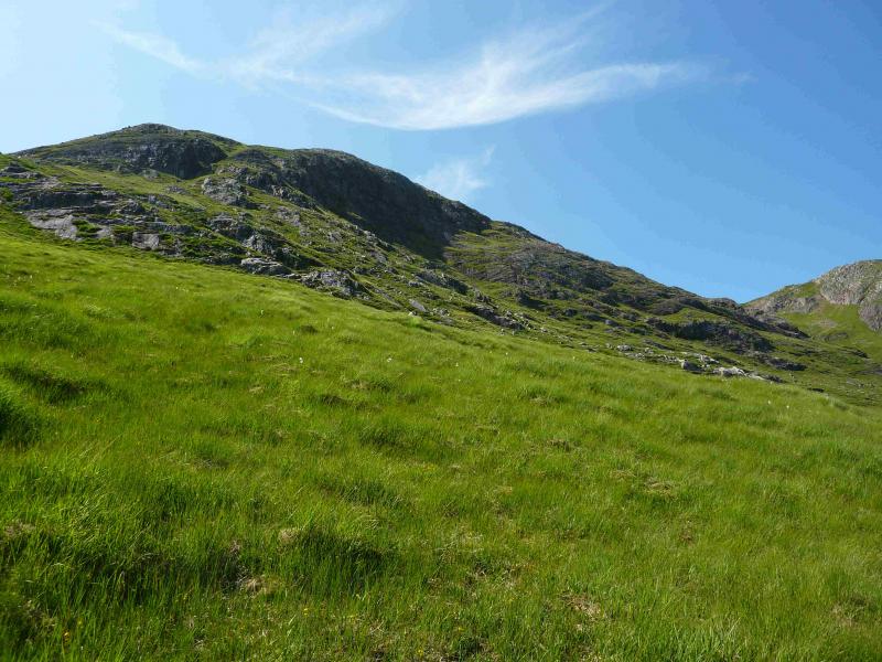
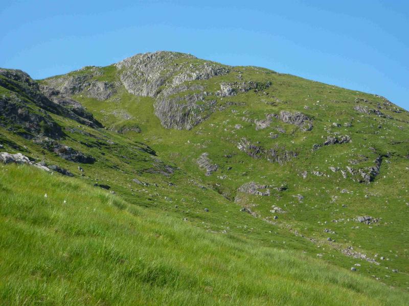
(1) From the car park, walk about 50 m towards Loch Etive then take the track down to the bridge over the River Etive. Continue across the bridge and take the left turn soon after. Continue along the track and cross the bridge over the Allt Ceitlein. Continue along the track towards the cottage at Glenceitlein but leave the track before the cottage to gain the prominent SW ridge of Stob Dubh. Once on the crest, a path can be followed but this may be difficult to follow higher up. If in doubt, try to stay on the crest which turns out not to be as rocky as it looks from below. Any crags encountered are usually by passed on the right – going left may lead one on to very steep grass. Above the crags, the angle eases but is still steep and soon the medium cairn which marks the summit of Stob Dubh, 883 m is reached.
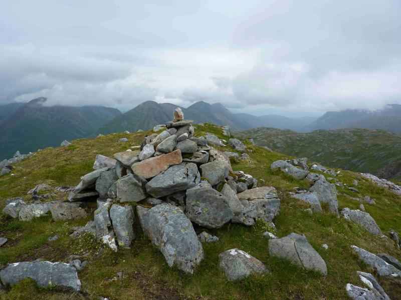
(2) Descend roughly ESE down steep slopes to reach a broad, mainly grassy, ridge which connects to Beinn Ceitlein. In clear weather, easier ground can be found by descending more to the S first then going E. From the bealach, ascend E then NE to reach the small cairn which marks the summit of Beinn Ceitlein, 845 m.
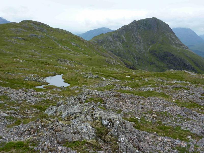
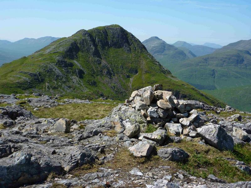
(3) Continue NNE to the N top which is a better viewpoint for the hills at the top end of Glen Etive. There is a small cairn which marks the summit of Beinn Ceitlein N Top, 832 m.
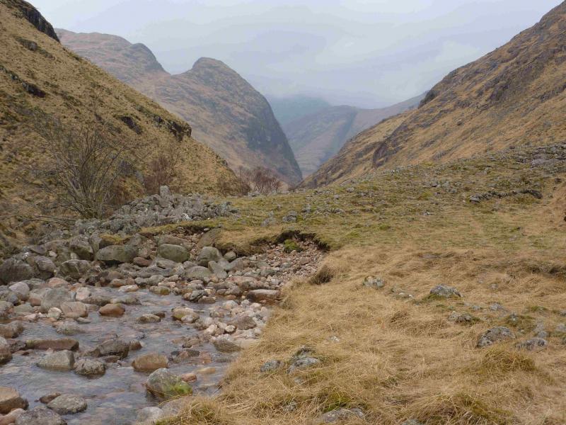
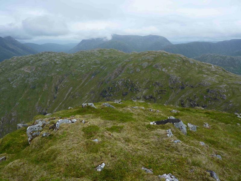
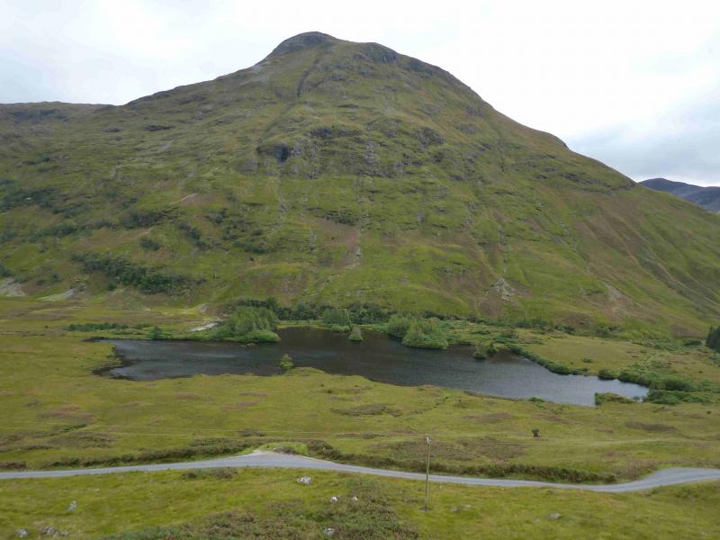
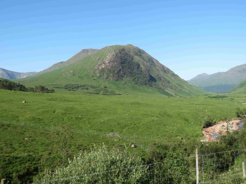
(4) Continue walking along the undulating ridge with each top lower than the previous one. The descent will be made E but don't descend too soon as there are many crags and gullies to negotiate if you do although they are not too difficult to avoid. It is best to stay on the crest as long as possible but aim to reach the valley floor about where the Allt a' Coire Chaolain, coming down from Stob Ghabhar, meets the glen at about NN 194 197. The going is rough in the glen with only the odd hint of a path. Follow the main burn, on its W bank, exposed in a few places and cross it just before it meets the burn from behind Beinn Mhic Chasgaig then cross the Beinn Mhic Chasgaig burn and locate the path leading to Alltchaorunn. Just before the buildings, a new path leads across the rough ground to the bridge over the River Etive and the road beyond about 10 km from the start.
Notes
(a) This walk took place on 19th July, 2013.
Photos - Hover over photo for caption. Click on to enlarge. Click on again to reduce.