Get Lost Mountaineering
You are here: Scotland » 03 North-west Argyll, Appin and Glencoe » Blackmount & East of Glen Etive
Beinn nan Lus
Beinn nan Lus from Inverawe
Start/Finish
Inverawe forest car park which has recently been constructed and holds at least 20 cars. From Connel, 5 miles north of Oban on A 85, drive east, along A 85 towards Dalmally. The left turning for Inverawe at at Bridge of Awe, reverse fork so easily missed, is about 8 miles, 2 miles after Taynuilt, and just after a long stone bridge. If the turning is missed, there is a garage/camping and caravan site within 100 m on the opposite side of the road. If coming from Dalmally, the turning is just after the above garage. Follow the minor road for about a mile to a turning on the right which says Inverawe Forest. In a small lay by, there are usually some refuse bins. Drive up this road which soon becomes a gravel track until the car park is reached on the right.
Distance/Time
26 km bike + 7 km walk About 10 hours.
Peaks
Beinn nan Lus, 709 m, NN130 375. OS sheet 50.
Introduction
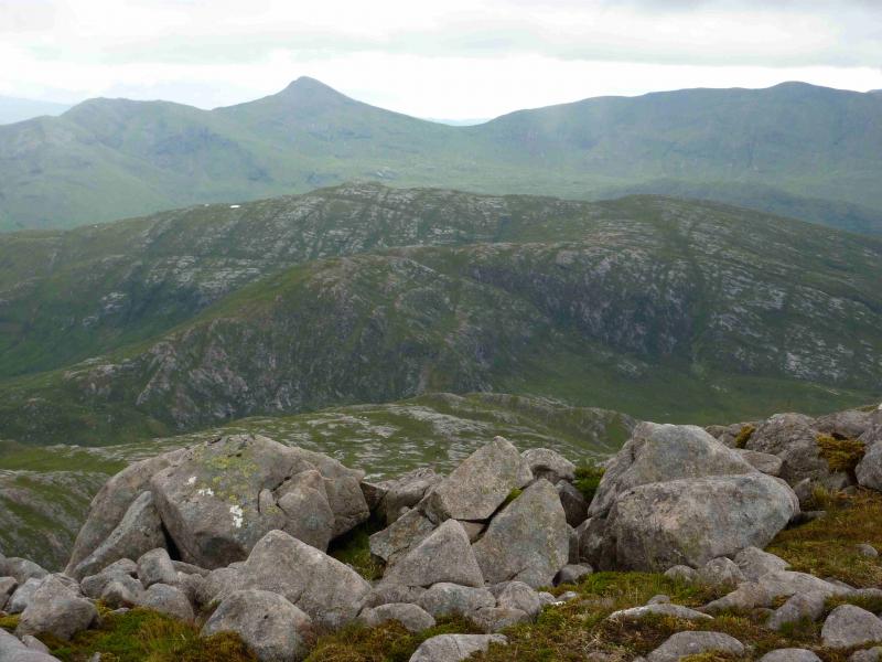
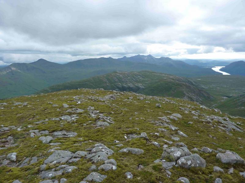
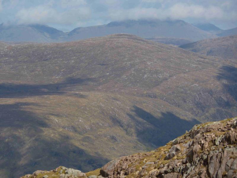
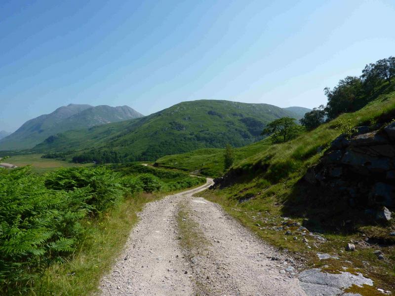
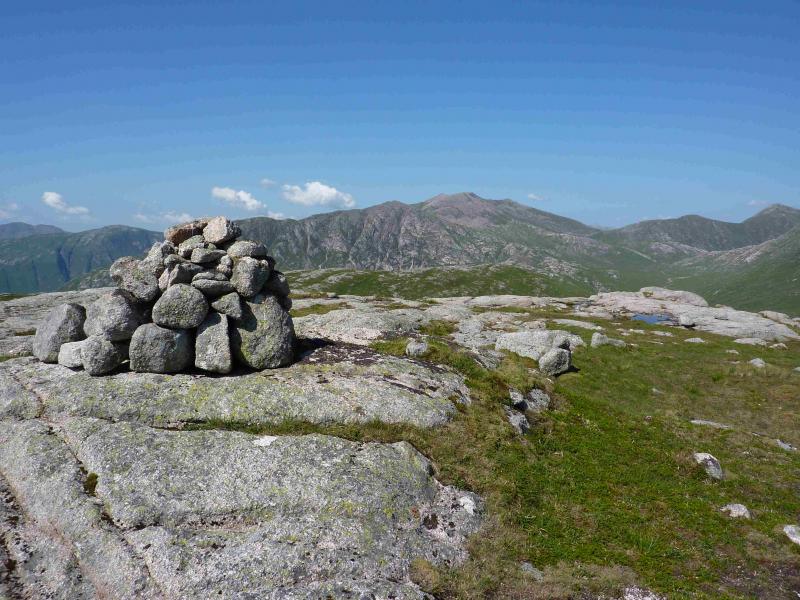
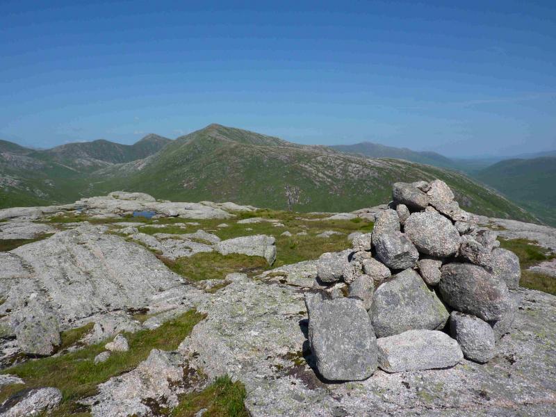
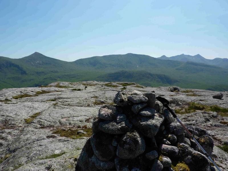
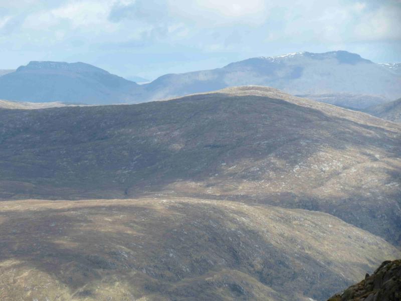
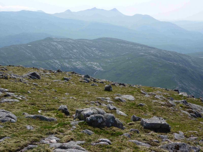
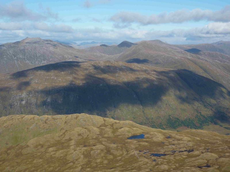
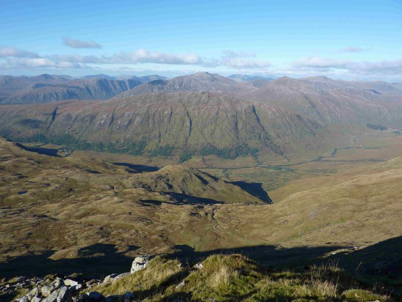
This may be the toughest Graham in Scotland. An Cruachan, near Loch Monar, is often given this title because of its remoteness but Beinn nan Lus is a far tougher day. The cycle in is rarely flat and has many uphill sections with some headlands climbing high above Loch Etive. The average cyclist will struggle. For the below average cyclist, this could be the nightmare cycle ride from hell. You will do well if you dismount less then twenty times because of the hills! On top of that, the track is very loose gravel in places. Unlike most “cycle ins”, the start and finish are at about the same altitude so there is no luxury of an easy cycle out and the cycle out actually seems more testing than the cycle in. In summer, ferns make the going on the hill more difficult so this walk is best tackled in May. Given all this, this is a walk for a clear day otherwise navigational issues will compound its toughness. Having said all that the scenery is spectacular with views of Beinn Sgulaid, Beinn Trilleachan, Ben Starav, Beinn nan Aighenan, Ben Cruachan, Beinn Eunaich and Beinn a' Chochuill, the last two being just across Glen Kinglass. Some untried possible alternative approaches are described later.
Route
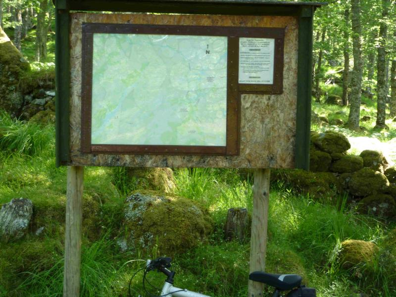
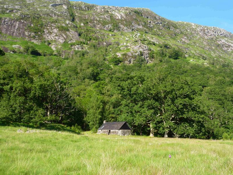
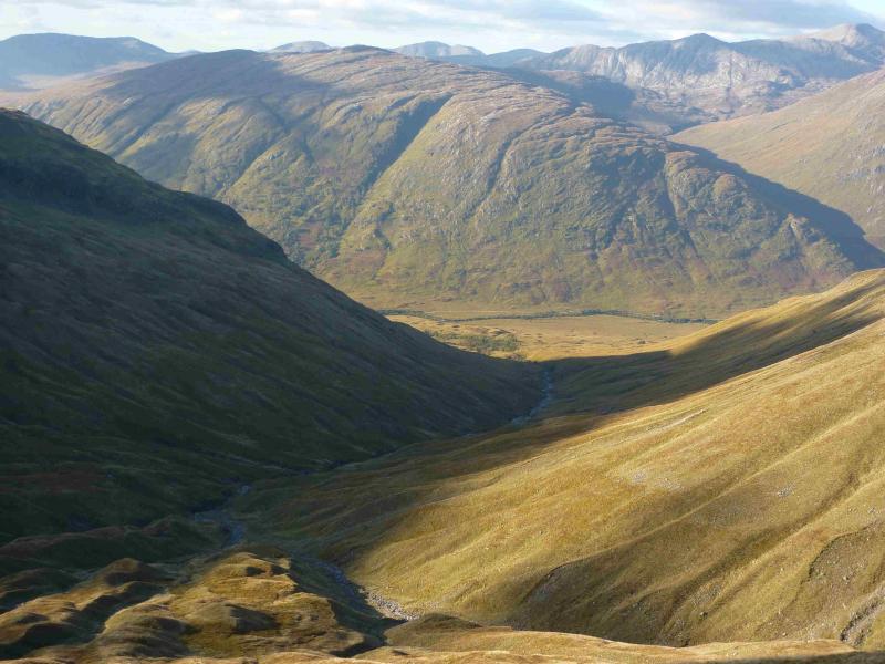
(1) Cycle up the main track, passing Glen Noe, Glen Liver, Inverawe Bay before reaching the entrance to Glen Kinglass where there is a faded sign. Turn right into Glen Kinglass. The track is now much flatter. Cycle for just over 3 km to reach the old stone bothy of Narrachan which is weather tight apart from the fact that there is no longer a door or window so this may not be suitable for an overnight stay especially in the midge season. Leave the bicycle here.
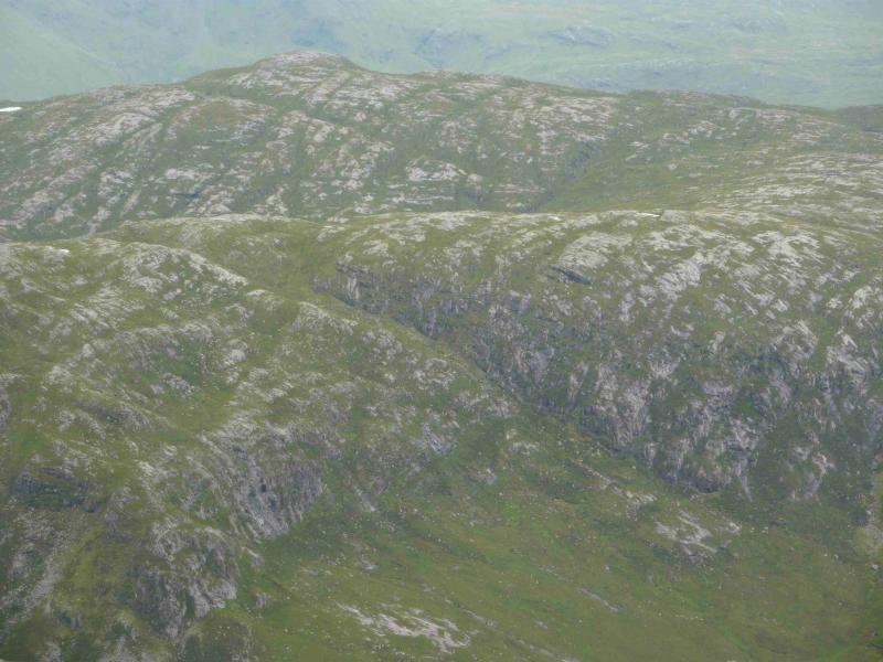
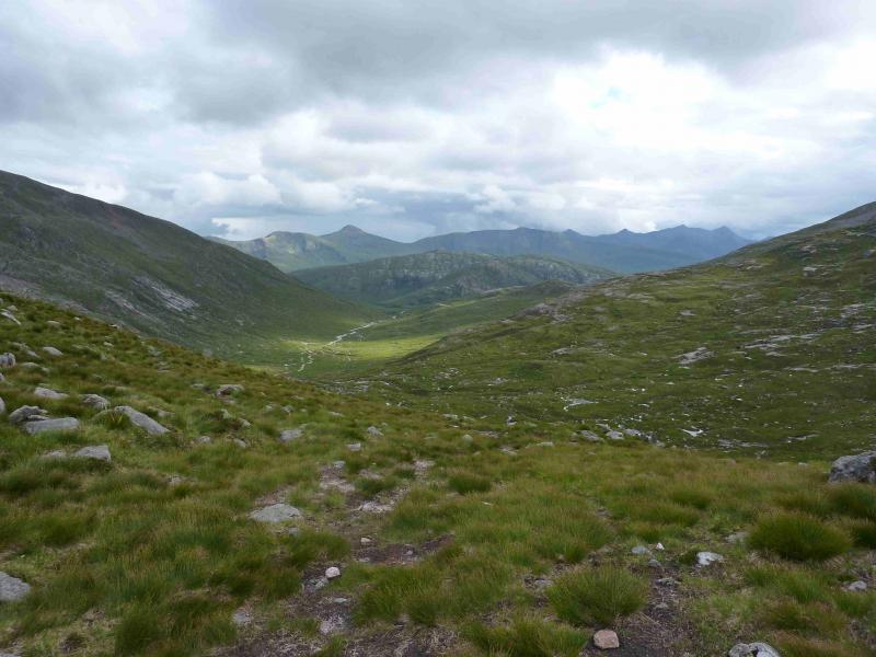
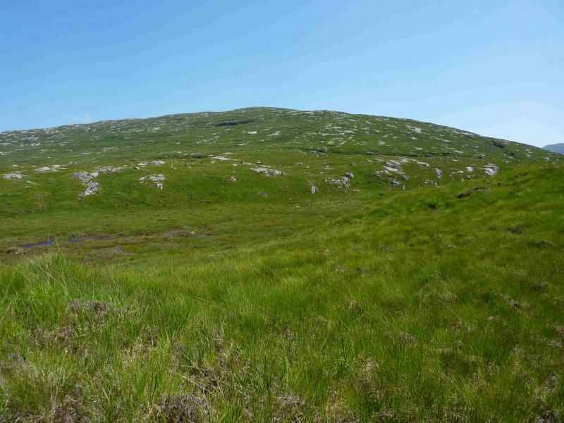
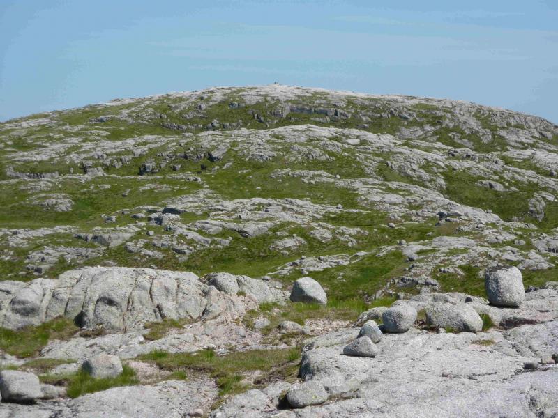
(2) A burn flows past the bothy. Stay on the same side as the bothy, keeping the burn on your right. An old moss covered wall may need to be climbed over. There are hints of a path and soon a clear path should be found although in summer it may be hidden by the ferns. Soon after, a deer fence is reached and the path follow it for a short distance before the fence goes off left. Continue following the path, difficult where overgrown as it ascends the hillside meandering around somewhat. The ascent can be varied, in dry conditions, by ascending the many easy angled slabs. When the ground levels out, aim for the cluster of trees in the burn which is now a deep gorge. Just past the trees, it is is easy to cross the burn. In spate conditions, it may be necessary to go a little higher to where the burn splits. Ascend E up easy angled grassy slopes where, again, there are many slabs which can vary the going. The top which can be seen is not the summit which is about 800 m further. From this top there is a large lochan to the NE. There are smaller locahns around as well. Continue E for about 300 m to another top then another 500 m to the summit area which is guarded by a small broken cliff on approach. The summit area is all slabs with a medium cairn marking the summit of Beinn nan Lus, 709 m.
(3) Retrace the outward route being careful to locate the path down the burn to the bothy. The proper path actually comes down slightly to the W of the bothy beyond the end of the old mossy wall and ends in an overgrown fern area so once the wall is reached, cut across to the burn.
Notes
(a) This walk took place on 20th July, 2013, by the route above and on 25th May, 2008, by cycling 5 km further up Glen Kinglass to the Allt Hallater then ascending the E ridge to the summit. The author has no recollection of a path on this ascent but no difficulties either.
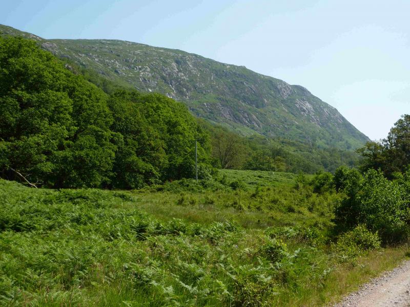
(b) The S face of Beinn nan Lus contains many crags and is overgrown with ferns in the summer so a more direct approach from due S is not recommended.
(c) Other approaches to Beinn nan Lus could be from Victoria Bridge (near Bridge of Orchy) but this is an even longer approach to the foot of the hill. It might be possible to start near the bottom of Glen Etive (as for Ben Starav) and walk up to the bealach between Ben Starav and Glas Bheein Mhor (as if going to Beinn nan Aighenan) then to walk roughly S, keeping as much height as possible to reach the Bealach Cumhann then ascend Beinn nan Lus. A possibility from the S is to cycle up Glen Strae then take the Lairing Dhoireann path (with much gain and loss of height) over to Glen Kinglass where a bridge (no idea if it is still there) is shown on the map over the River Kinglass almost due S of the summit from where one can go W to Narrachan or E to the Allt Hallater. The shortest approach would be by boat up Loch Etive to the entrance of Glen Kinglass. None of these alternatives have been checked out or are likely to be! Millionaires are advised to charter a helicopter!
Photos - Hover over photo for caption. Click on to enlarge. Click on again to reduce.