Get Lost Mountaineering
You are here: Scotland » 09 Glen Roy to the Monadh Liath and Strathspey » Monadhliath & Corrieyairack
Geal Charn Full Traverse
Geal Charn Full Traverse from Spey Dam via Glen Markie & piper' Burn to Garva Bridge
Start/Finish
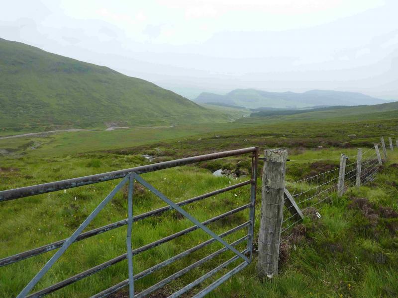
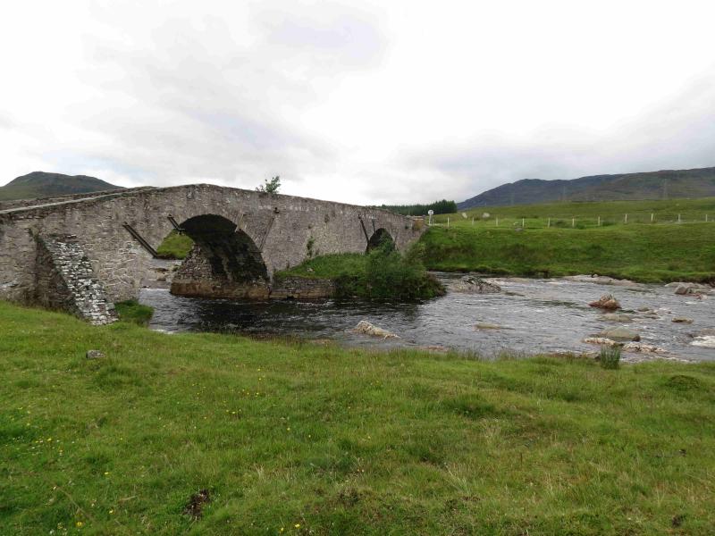
The Spey Dam about 2 miles down the minor road which runs east from Laggan Bridge on the A86 Spean Bridge to Newtonmore road. The track to the dam goes straight ahead when the road swings left to cross the river. There is space for parking close to the dam. If that is not available, stay on the road, cross the river and park just after the first right bend on the right of the road by a small gate. Do not park in the passing place near the bridge. The finish is at Garva Bridge which is an old multiarch stone bridge about a further 4 miles down the minor road. There is plenty of parking available at Garva Bridge. A bicycle can be left at Garva Bridge giving an easy 7 km cycle at the end of the walk or two cars can be used.
Distance/Time
15 km + 7 km bike About 6 hours
Peaks
Geal Charn, 926 m, NN 561 988. OS sheet 35.
Introduction
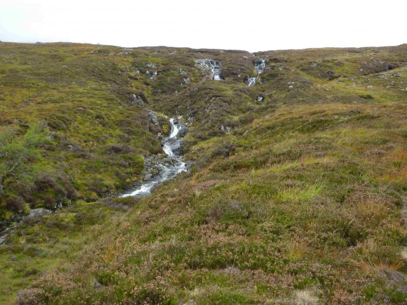
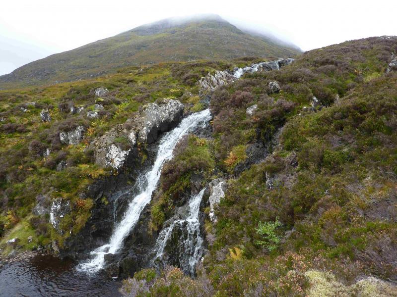
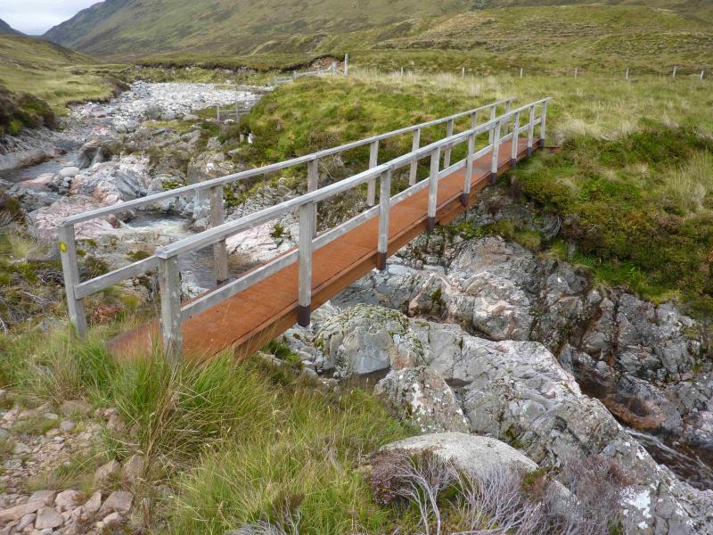
This is a high moorland hill which gives an easy day although the going can be very boggy on the approach and lower slopes. The Markie Burn can be difficult to cross in spate. If this is the case, there is a footbridge about 500 m upstream from where the burn would normally be crossed. This is difficult to spot from distance but is just behind the only trees seem upstream. The bridge is where the track coming down the glen drops to the side of the burn and is at about NN 588 982 (not checked with GPS).
Route
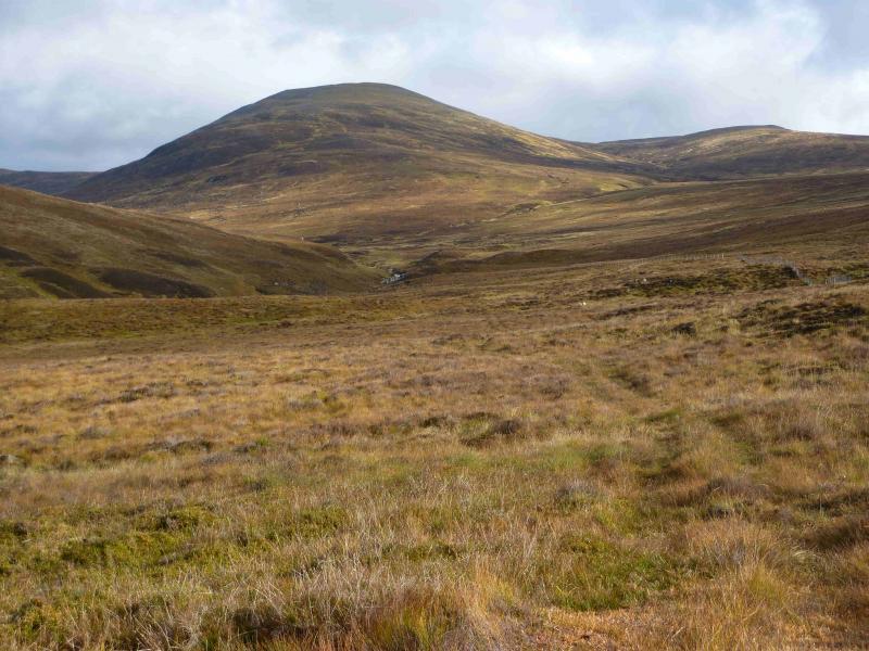
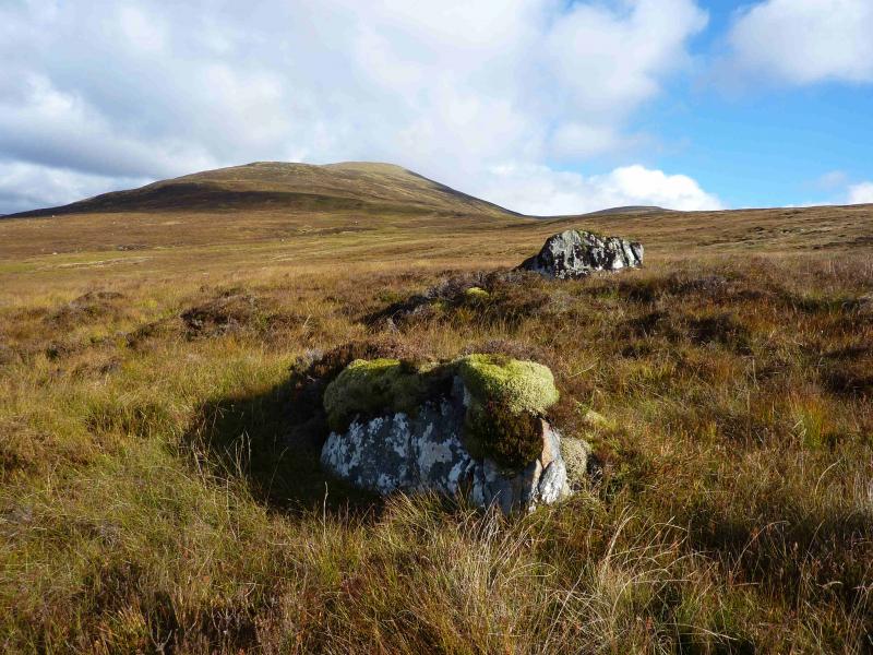
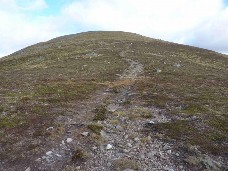
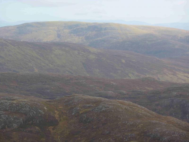
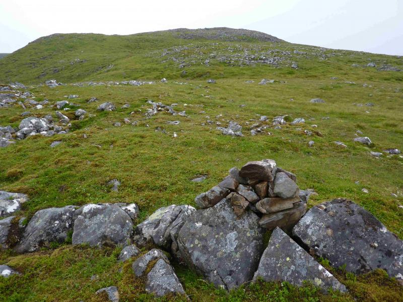
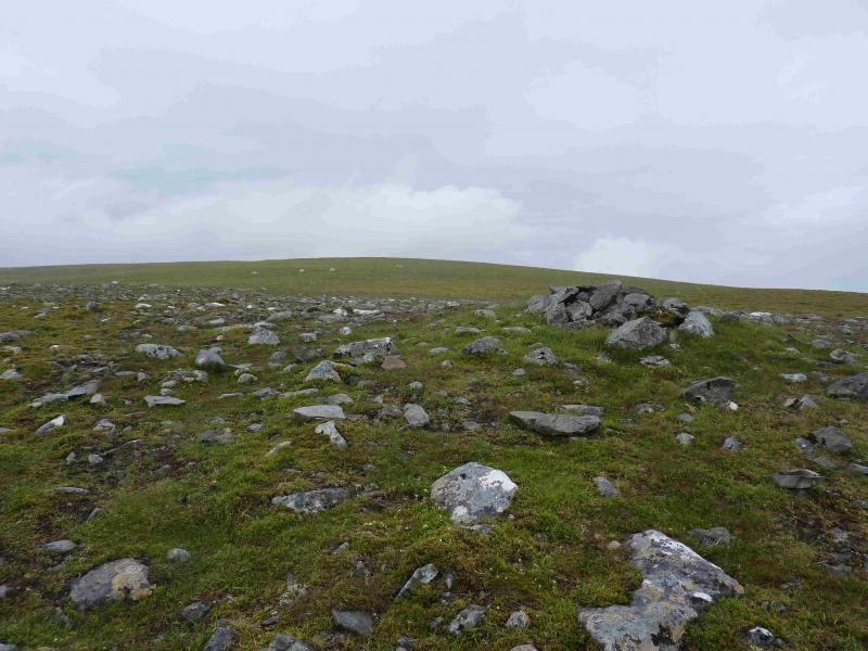
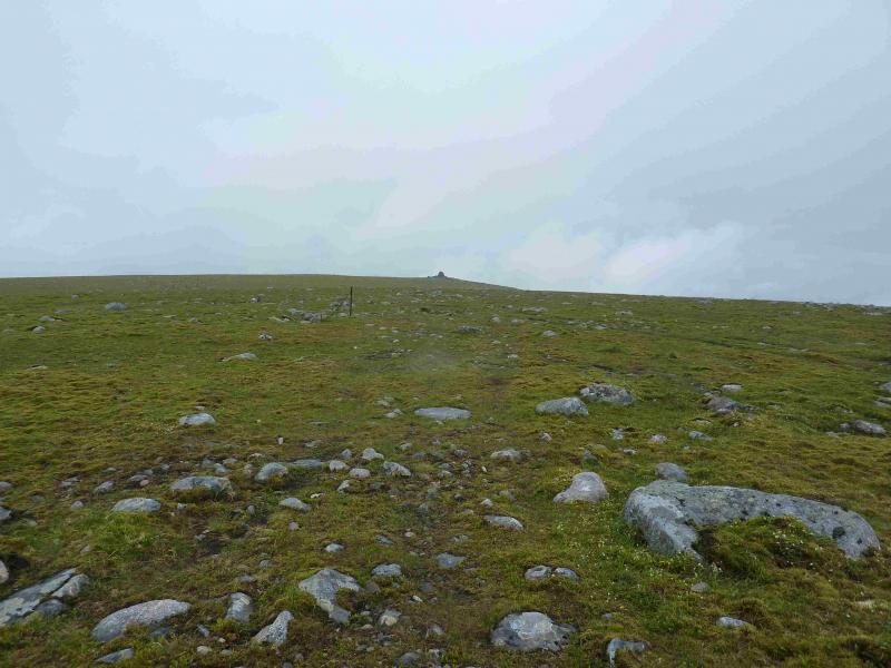
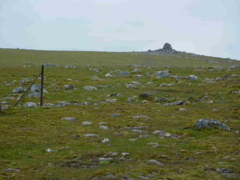
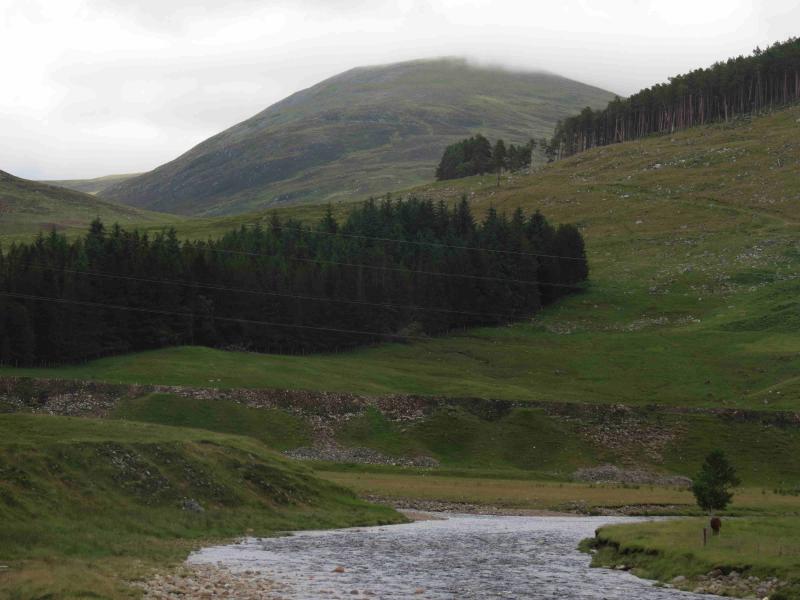
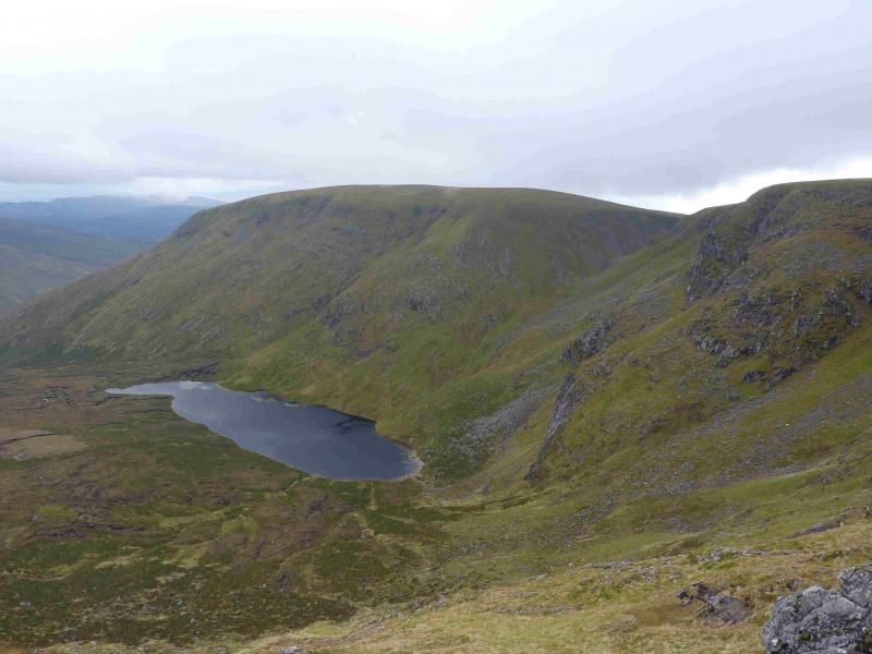
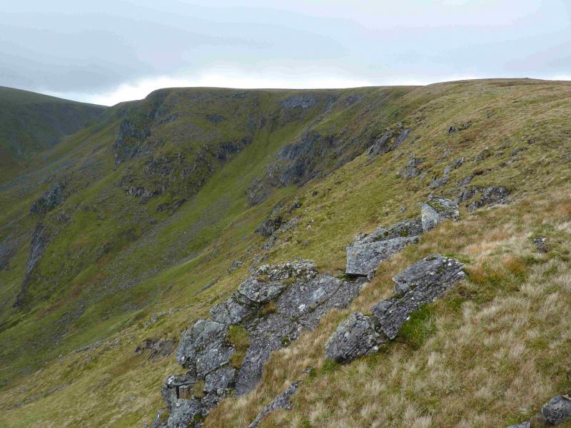
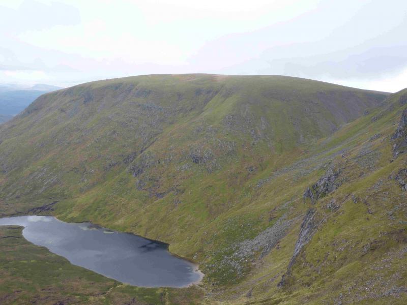
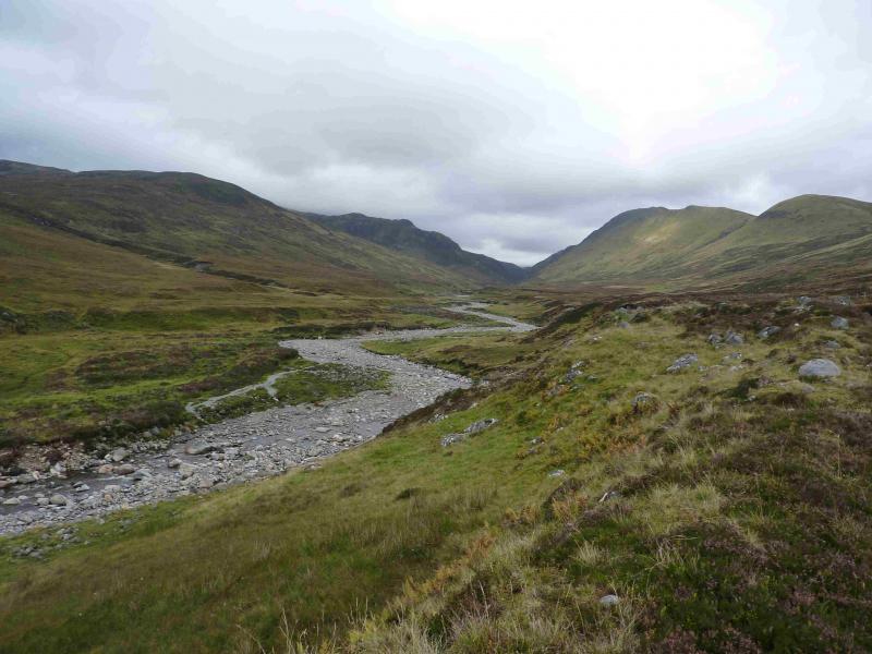
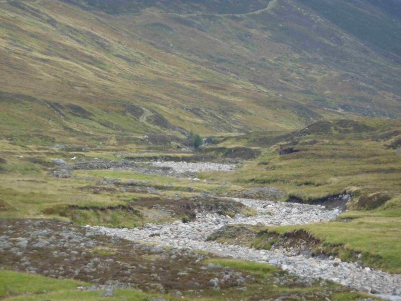
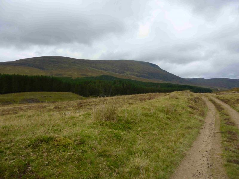
(1) Walk up the obvious track heading N up Glen Markie. After about 4 km, the tributary known as the Piper's Burn is equally obvious which flows eastwards into the Markie Burn. Ignore any small cairn and continue a little further until a rough track leaves the main track and slants down to diagonally cross the burn. Once across, leave this track and locate a path shadowing the Piper's Burn up towards a waterfall. Follow this path which is quite distinct in places. When the burn splits, the path follows the right fork and soon after becomes less distinct. Head roughly W and ascend easy grassy slopes on to the NE ridge of Geal Charn. Turn roughly SW and walk up easier grassy slopes passing two small cairns which might be mistaken for the summit in thick weather. If the path on the crest is indistinct it soon improves. When the angle eases, other paths cross your path diagonally. Soon, a very large cairn, about 3 m high, is reached which marks the summit of Geal Charn, 926 m.
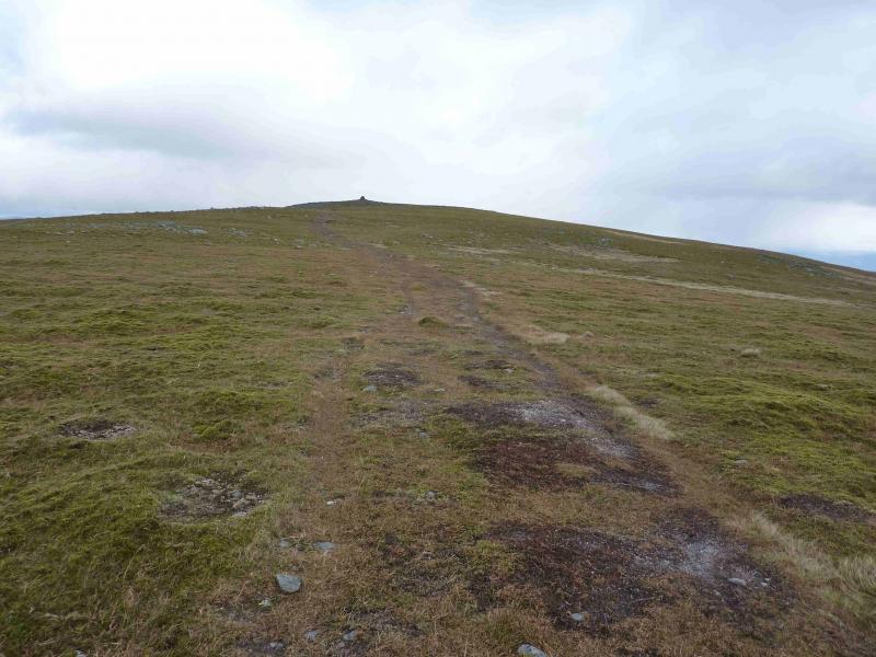
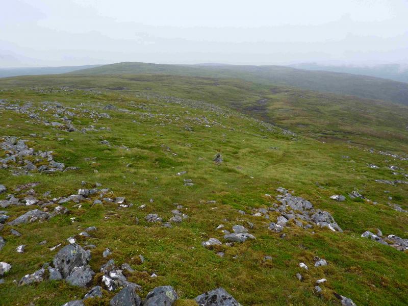
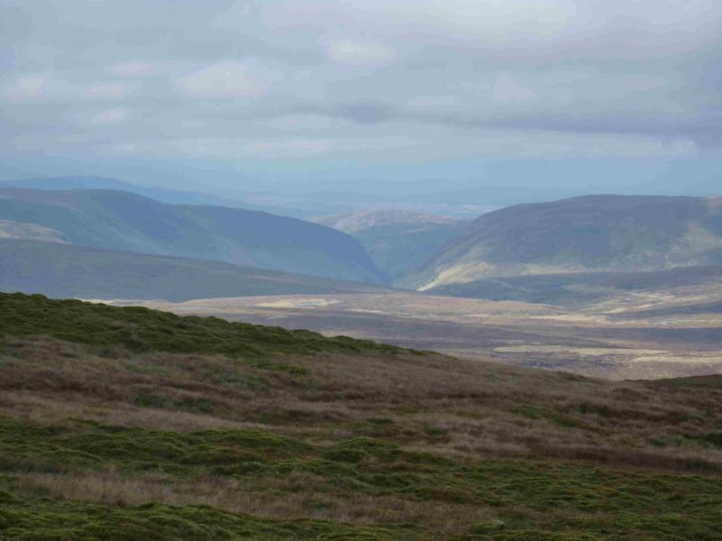
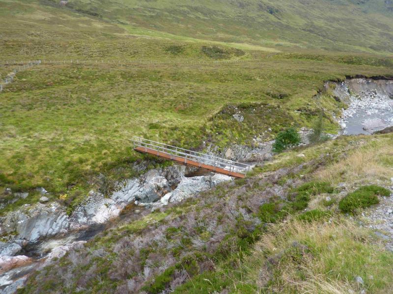
(2) Descend roughly SW from the summit crossing two very shallow dips with three small cairns (one quite mossy) on the second “top” with another cairn further down. The path is faint at first and there are other paths here as well. Once the angle starts to steepen, the path becomes much more distinct. Continue down the SW ridge and reach the Allt Coire nan Dearcag where a small cairn denotes the crossing place. If the burn is high, make a short detour upstream. The path can be followed down to the main river – Feith Tatagain but it is quite boggy along the bank. It is better to walk across the open moorland aiming for the corner of the wood at NN 532 957. This is visible in clear weather. If the course is reasonably accurate then an ATV track will be met about halfway which can be followed through a fence to join the track shown on the map by the wood. Cross the large modern bridge over the Feith Tatagain then turn left and walk down to the minor road on the opposite side of Garva Bridge to the car park.
Notes
(a) This walk took place on 25th July, 2013.
(b) A more interesting ascent goes up the steep corner of Beinn Sgiath. This is described separately as Geal Charn via Glen Markie & Beinn Sgiath.
Photos - Hover over photo for caption. Click on to enlarge. Click on again to reduce.