Get Lost Mountaineering
You are here: Scotland » 05 Loch Rannoch to Drumochter and East to Gaick Pass » West of Drumochter to Loch Rannoch & Loch Ericht
Beinn Mholach & Creag a' Mhadaidh
Beinn Mholach & Creag a' Mhadaidh from Dalnaspidal
Start/Finish
Dalnaspidal on the A9, not far S of the summit of the Drumochter Pass. Dalnaspidal is signposted whether travelling from the N or S. Once turned off, follow the signs for Dalnaspidal Lodge and park just before the level crossing.
Distance/Time
9 km bike & 20 km walk About 8 hours
Peaks
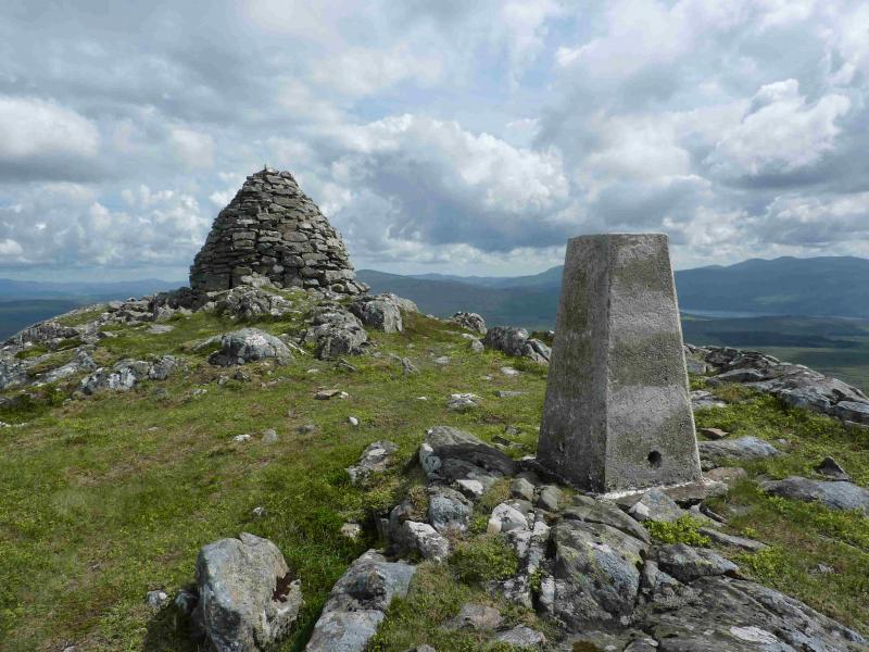
Beinn Mholach, 841 m, NN 587 655.
Creag a' Mhadaidh, 612 m, NN 634 650. OS sheet 42.
Introduction
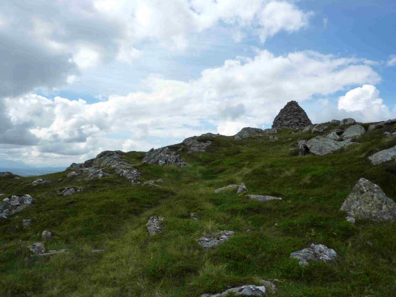
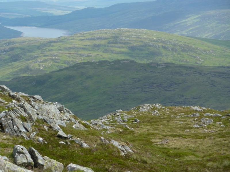
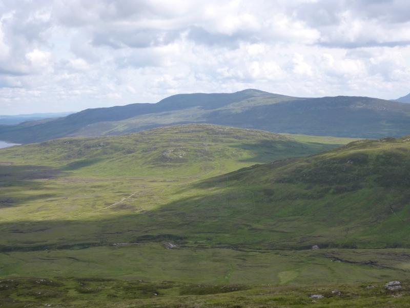
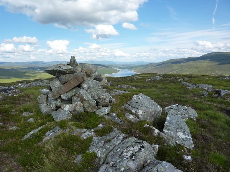
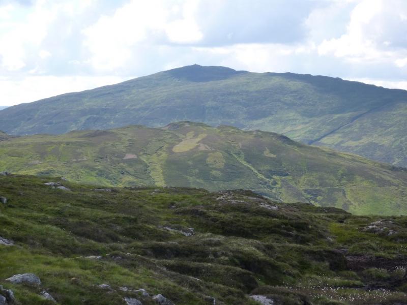
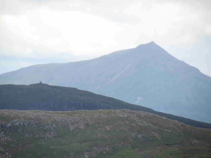
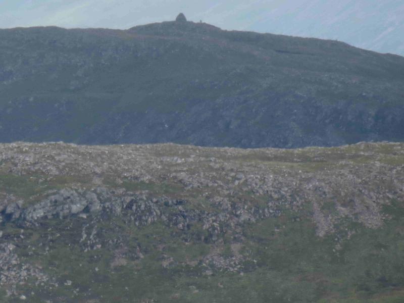
This is a very pleasant day which offers generallly easy going on the hills and excellent views which include Meall na Leitreach, Ben Alder, Schiehallion, Ben Lawers and Beinn a' Chuallaich. Beinn a’ Ghlo and Ben Vrackie are also clearly visible to the S on a clear day. The track along Loch Garry is level for much of its length giving easy cycling. Beinn Mholach has one of the most impressive cairns in Scotland but, unfortunately, it is not seen until over the brow of Creag nan Gabhar during the ascent.
Route
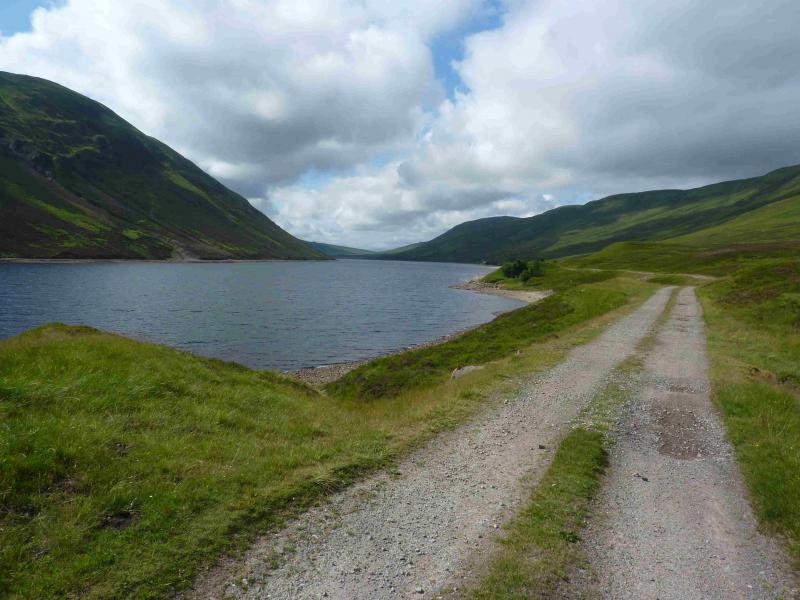
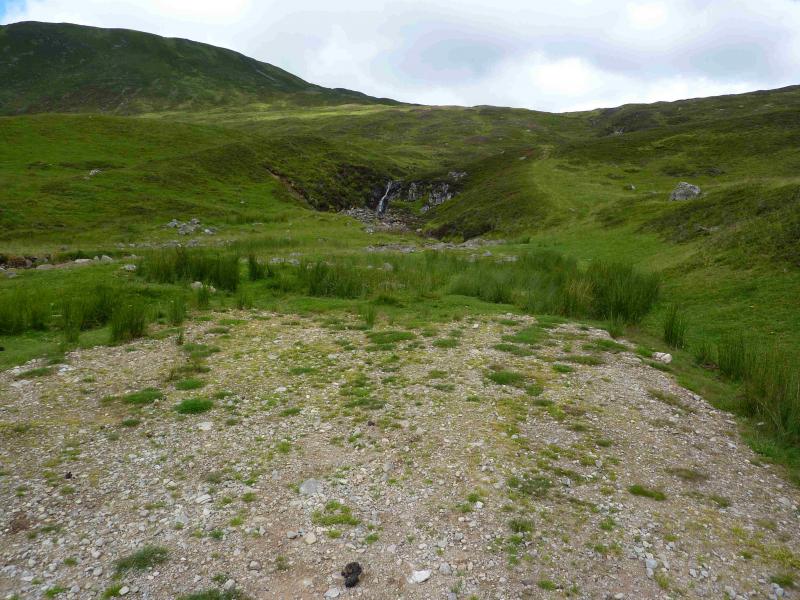
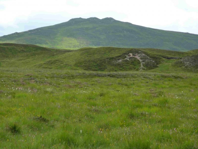
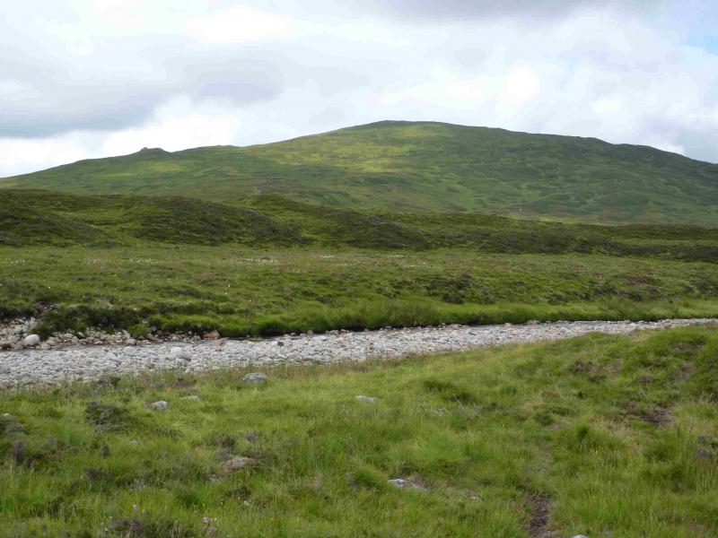
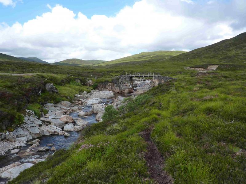
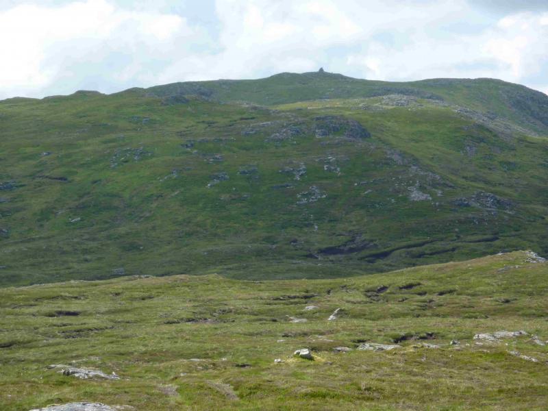
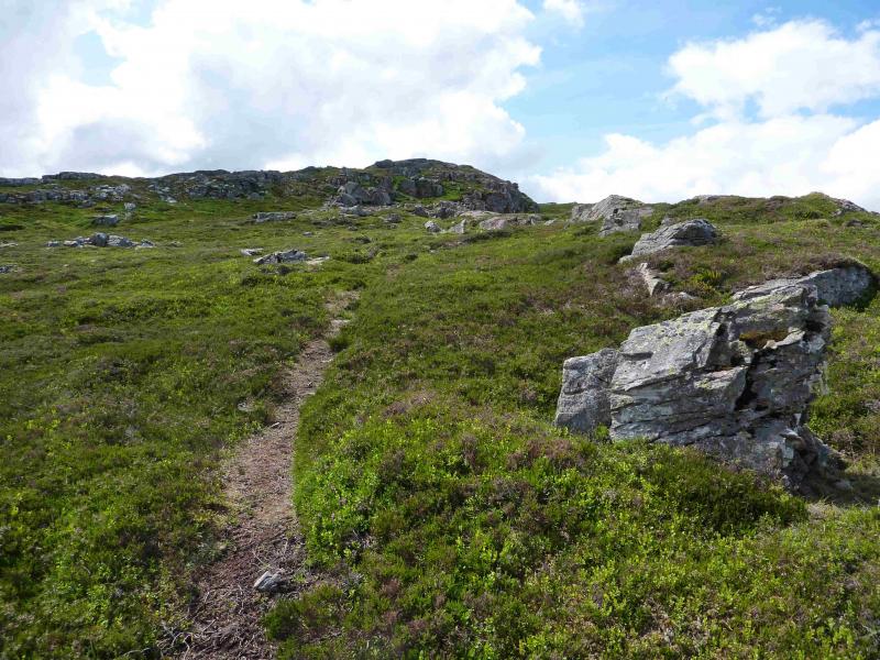
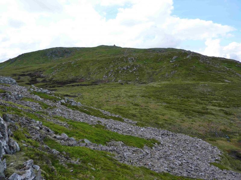
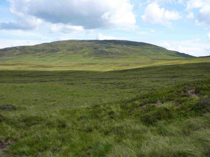
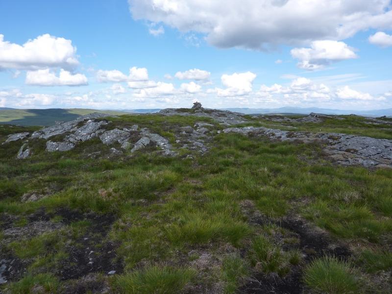
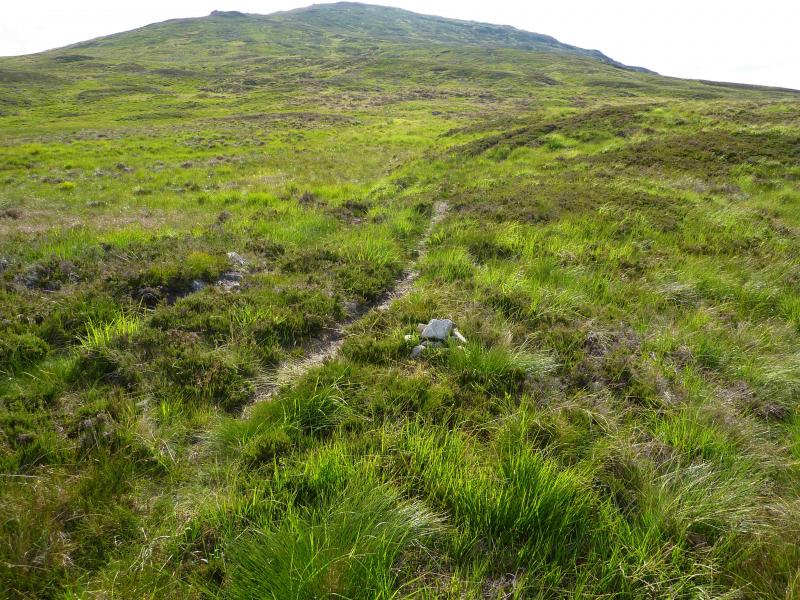
(1) Cross the level crossing and take the track on the right just before the buildings. Follow this all the way down the east side of Loch Garry until it ends near a small waterfall (set back). Leave the bike here and follow a grassy, often boggy, ATV track across the wet meadow below Meall Doire. This eventually leads to the bridge over the Allt Shallain. Cross over and follow the better track to the building at Duinish which is not visible until almost reached. From here an ATV track (small cairn) leads up towards Beinn Mholach. This goes almost to the summit. Beinn Mholach summit is not visible until over the brow of Creag nan Gabhar. The ATV track continues beyond here, on broadly level ground, but seems to peter out when a small section of peat hags is reached. However, a path takes over but it is not that obvious to locate. After the peat hags is a rise to another level section with some more peat. Here the path splits and one can go either left, along a rocky crest, or right, on a more grassy approach. A short rise leads to the trig point and huge curved cairn which marks the summit of Beinn Mholach, 841 m.
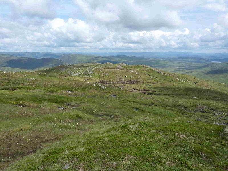
(2) Retrace down the ridge and ATV track to Duinish then turn S along the good track. Follow this for about 2 km to about the high point of the “pass” between Gualann Sheileach and Crag a' Mhadaidh. Leave the track and head E, after a slight descent, up the gentle, grassy slopes. A path may be encountered slanting diagonally across the W flank and this is best ignored. Continue to reach more level ground and soon reach the medium cairn which marks the summit of Creag a' Mhadaidh, 612 m which might be difficult to locate in thick mist although there is a faint path near the cairn.
(3) Retrace W back to the track to Duinish then to the bridge over the Allt Shallain then back to the end of Loch Garry
Notes
(a) This walk took place on 6th August, 2007, and 27th July, 2013.
(b) Omitting Creag a' Mhadaidh saves 2- 3 hours.
Photos - Hover over photo for caption. Click on to enlarge. Click on again to reduce.