Get Lost Mountaineering
You are here: Scotland » 09 Glen Roy to the Monadh Liath and Strathspey » Monadhliath & Corrieyairack
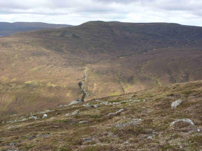
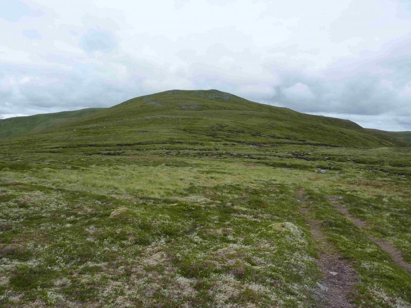
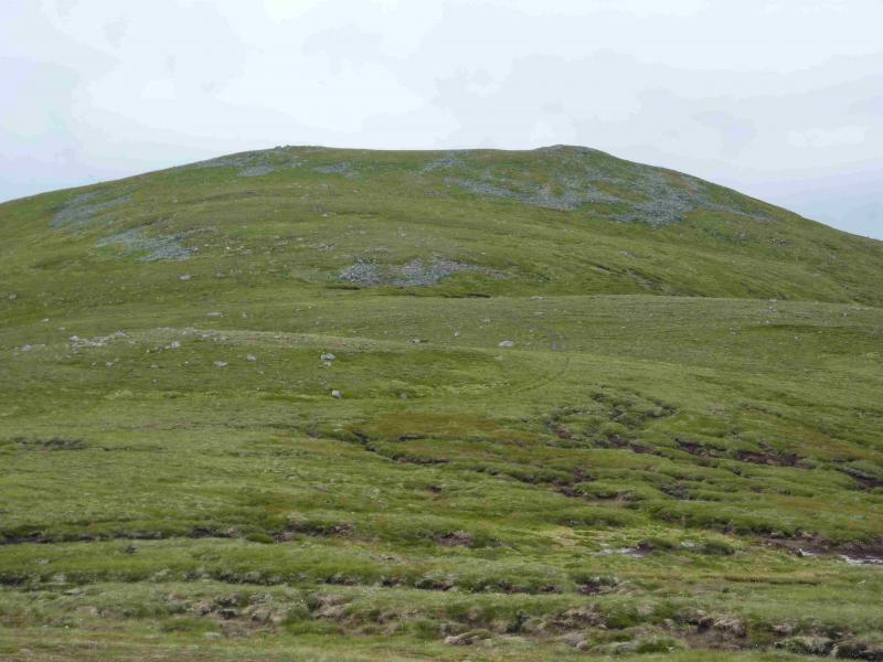
Meall na h-Aisre
Meall na h-Aisre from Garva Bridge
Start/Finish
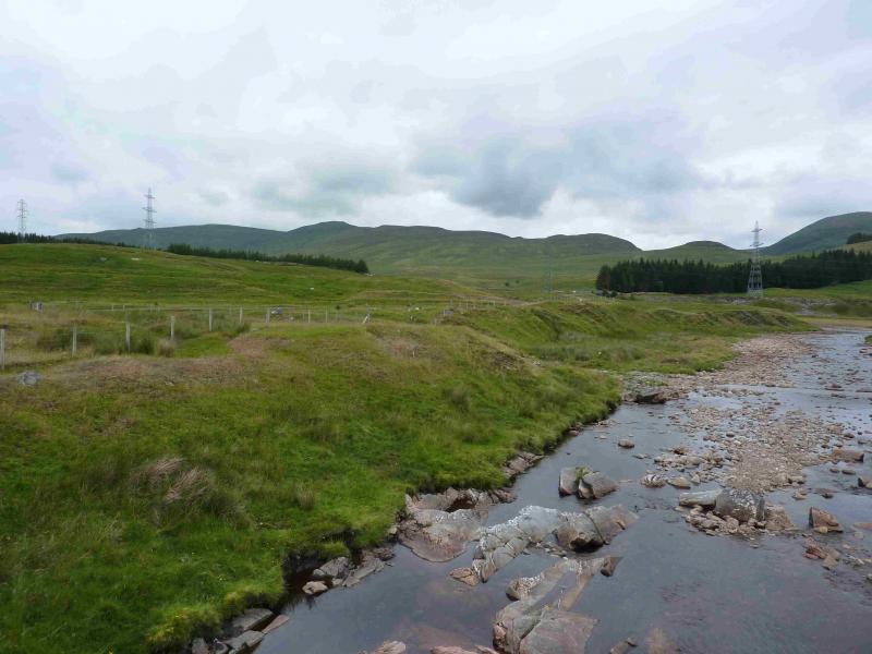
Garva Bridge which is an old multiarch stone bridge about 6 miles down the minor road which runs east from Laggan Bridge on the A86 Spean Bridge to Newtonmore road. There is plenty of parking available at Garva Bridge.
Distance/Time
12 km About 5 hours
Peaks
Meall na h-Aisre, 862 m, NN 515 000. OS sheet 35.
Introduction
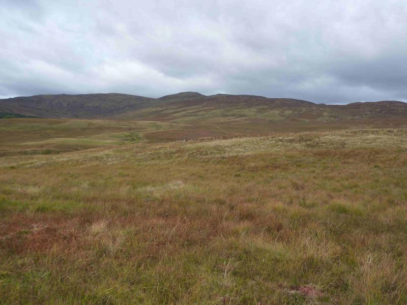
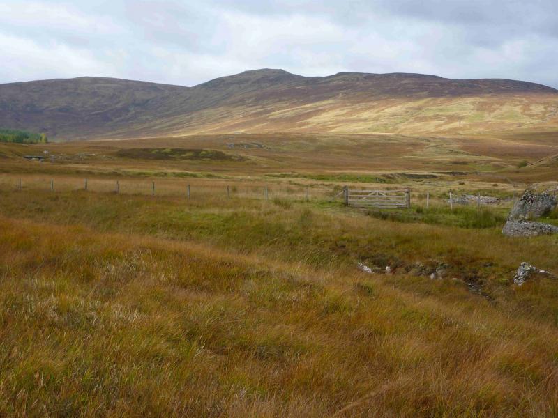
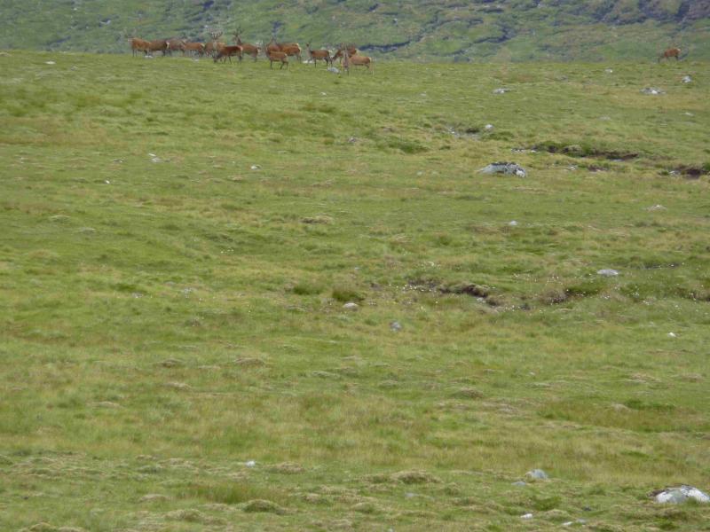
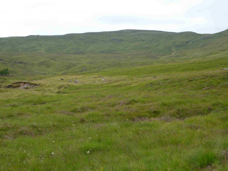
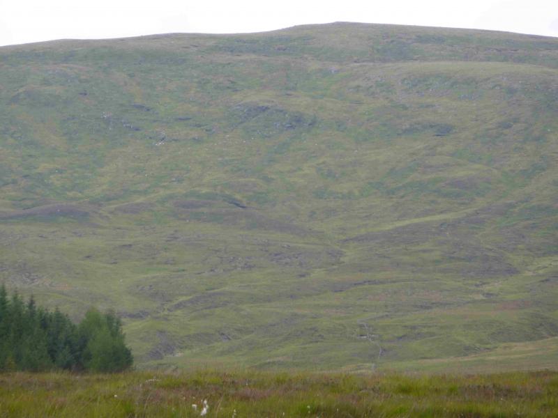
This isa high moorland hill which gives an easy day although the going can be boggy on the approach and lower slopes. In clear weather, there are good views towards neighbouring hills including the Creag Meagaidh range, the northern Monadh Liath and the Corrieyairack hills not to mention Geal Charn immediately to the east. There is an ATV track all the way to the summit which is quite good in most places but can be boggy. The ground, generally is good and not overgrown, even in summer and there is not a fern in sight!
Route
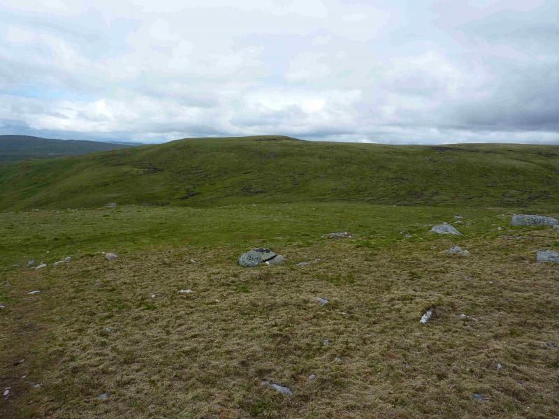
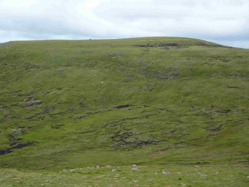
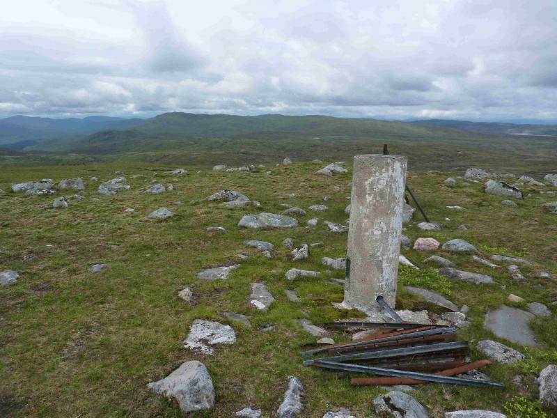
(1) Cross Garva Bridge and take the track going N. Do not cross the modern steel bridge but stay on the W side of the river where a gravel (soon turning grassy) track leads N. The bridge over the Allt Coire Ian Oig should be seen ahead and to the left but may not be needed. The now grassy track can be followed all the way to the summit from here. Soon the track splits with a fork left for the bridge at NN 522 958 but the “main” track goes straight on and, within 40 m, crosses the Allt Coire Ian Oig by a ford with an obvious continuation across the burn. If this crossing is not possible then use the bridge and walk E (no path/track)to reconnect with the track. Follow the track over low moorland then up the left hand, W, side of the least prominent (left) of the two grassy gullies directly ahead. This leads on to the crest of Leathad Gaothach, then follows the ridge NNW, crossing a fence on the way, up to Top 844. The track now descends about 70 m to cross the eastern end of Coire Gorm before climbing up the other side, converging with a line of old iron fence posts, and finishing at the trig point, in a ground level “stone circle” which marks the summit of Meall na h-Aisre, 862 m. There is no cairn or any kind of shelter if the weather is wild but there are a few rocks to sit on.
(2) The most straightforward return is by the way of ascent but it is quite easy to retrun via Coire Ian Oig. A faint path leads, roughly SW, from the summit down very gentle slopes until petering out then one can easily pick a way down easy grassy slopes into the open grassy corrie. If the burns are not high the Allt Coire Ian Oig can be crossed and a track followed down to a rough ford where the burn is recrossed. If in spate, stay on the E side. This ATV track leads down to the bridge at NN 522 958 then back to the start of the gravel track near the modern steel bridge where the outward route is rejoined.
Notes
(a) This walk took place on 29th May, 2003, and 31st July, 2013.
Photos - Hover over photo for caption. Click on to enlarge. Click on again to reduce.


.jpg)