Get Lost Mountaineering
You are here: Scotland » 10b Loch Eil to Glen Shiel » South of Loch Morar & Loch Arkaig
Meall Onfhaidh & Aodann Chleireig from Fassfern
Meall Onfhaidh & Aodann Chleireig from Fassfern
Start/Finish
Public car park in Fassfern, off the A 830, which is about 7 miles W of the Mallaig turning in Fort William. There is usually plenty of parking space.
Distance/Time
17 km About 7 hours
Peaks
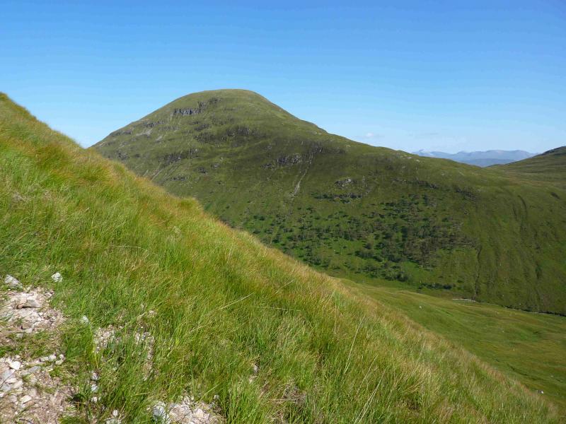
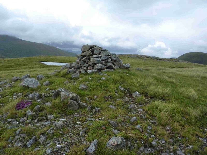
Meall Onfhaidh, 681 m, NN 010 840.
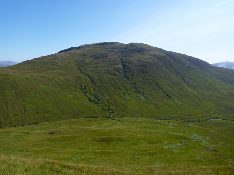
Aodann Chleireig, 663 m, NN 994 825. OS sheets 40 & 41.
Introduction
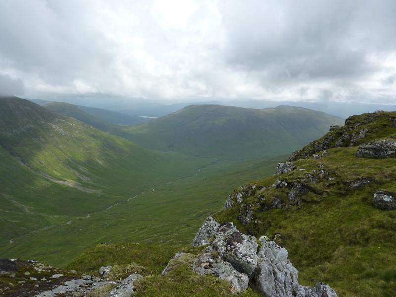
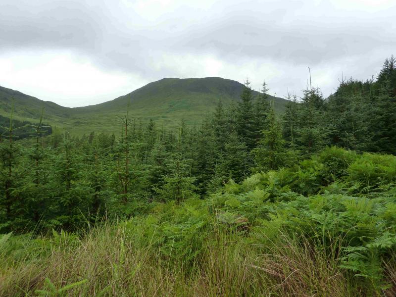
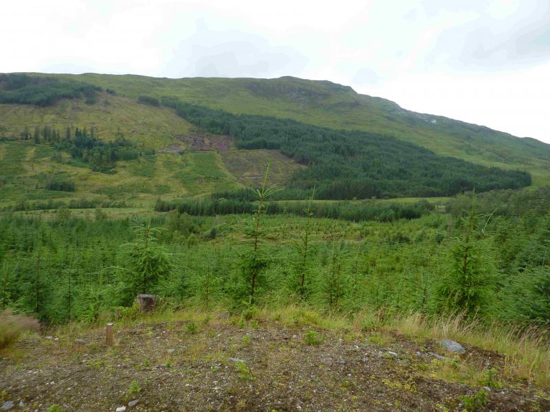
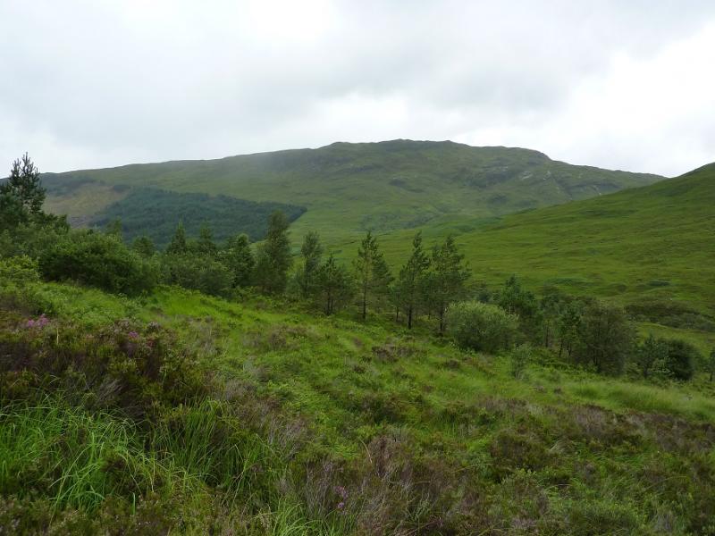
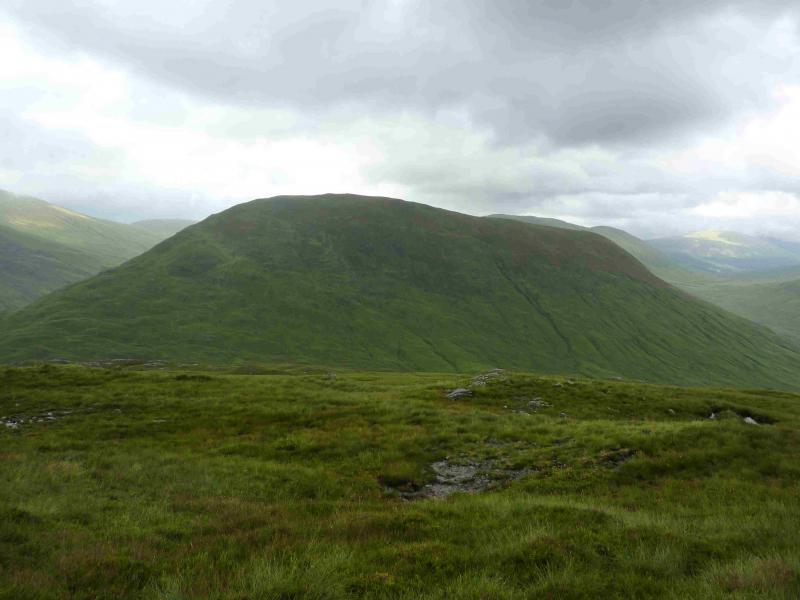
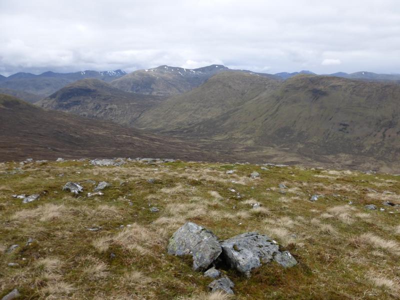
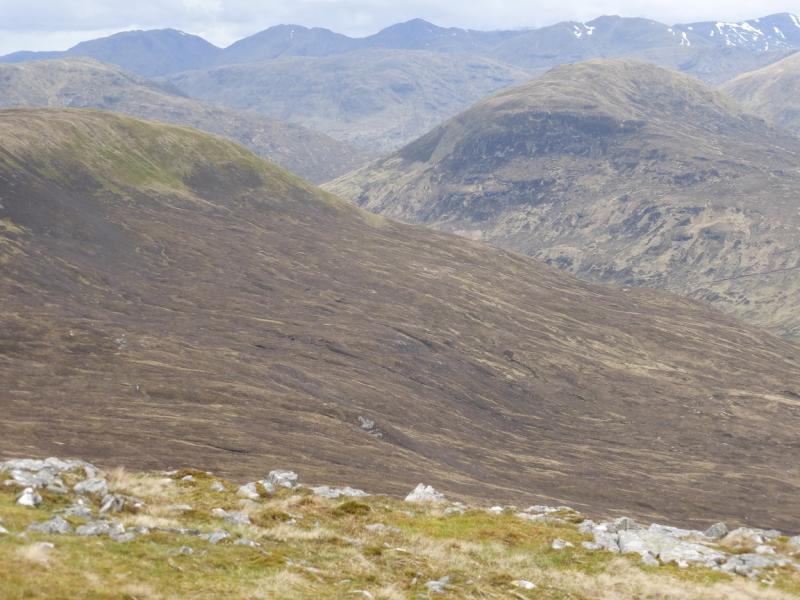
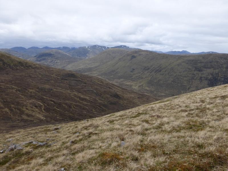
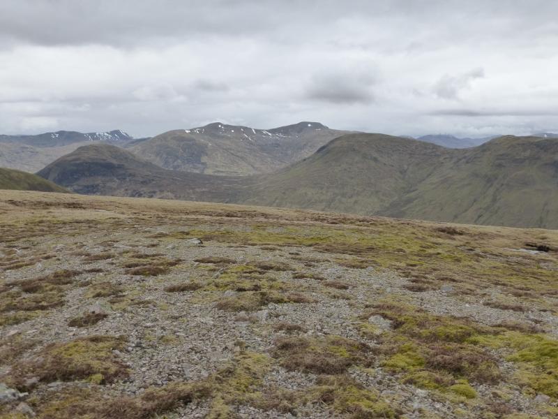
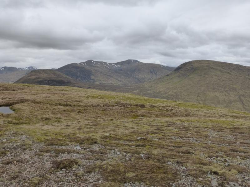
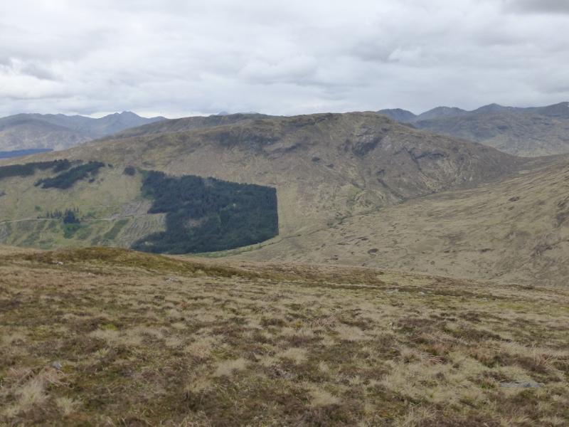
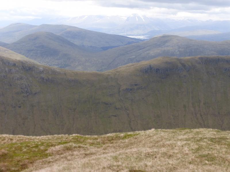
These are mainly grassy hills with a straightforward approach from the main Glen Loy track. Unfortunately, Aodann Chleireig is surrounded by forestry and its descent, to avoid the forestry, goes through strenuous overgrown ground. On a clear day, there are panoramic views in all directions including Ben Nevis, Grey Corries, the hills above the Mallaig road and the Loch Arkaig hills but Druim Fada and Gulvain are most prominent.
Route
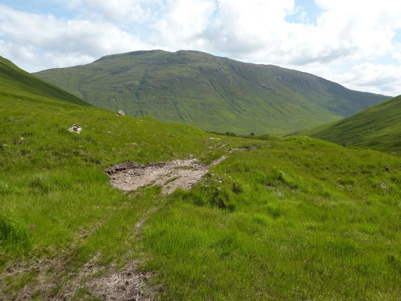
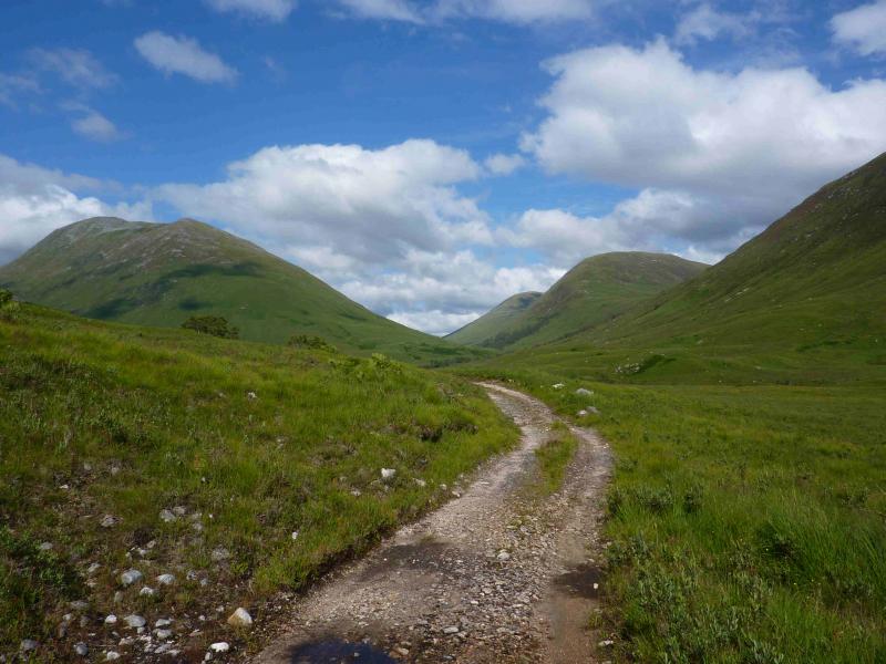
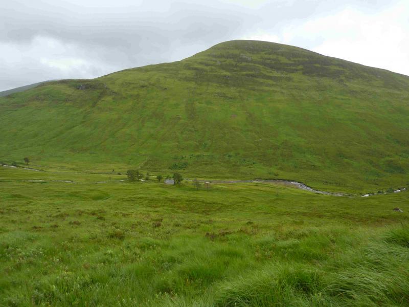
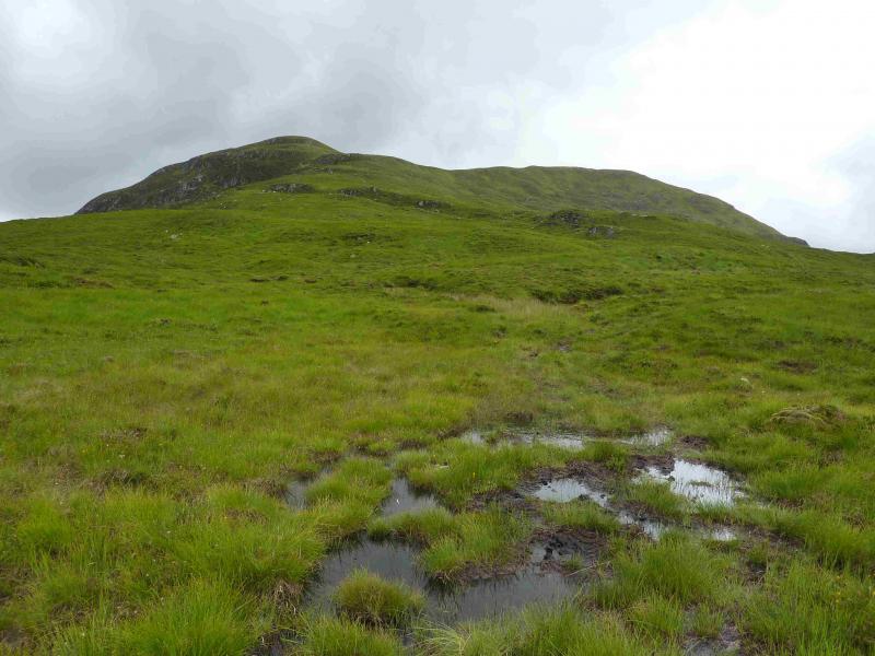
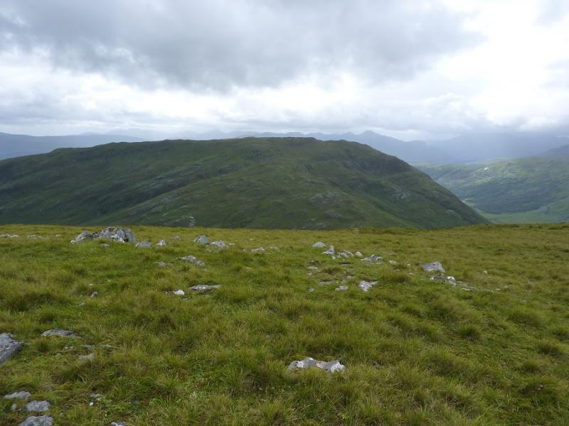
(1) From the car park, cross the river then take the signed track which heads N, ultimately to Glen Loy. Follow the main track, ignoring all turn offs, for about 4 km, until the track crosses the river about 400 m before Glensulaig. This track, now rougher, continues, heading upwards towards the bealach between Meall Onfhaidh and Meall a' Phubuill. When the track levels out, it splits just before a bridge. Take the left fork which soon becomes a boggy ATV track. Follow this, roughly W, towards Meall Onfhaidh. Leave the track when it becomes indistinct and head up for the summit crest then head NW and ascend easy slopes to the medium cairn which marks the summit of Meall Onfhaidh, 681 m.
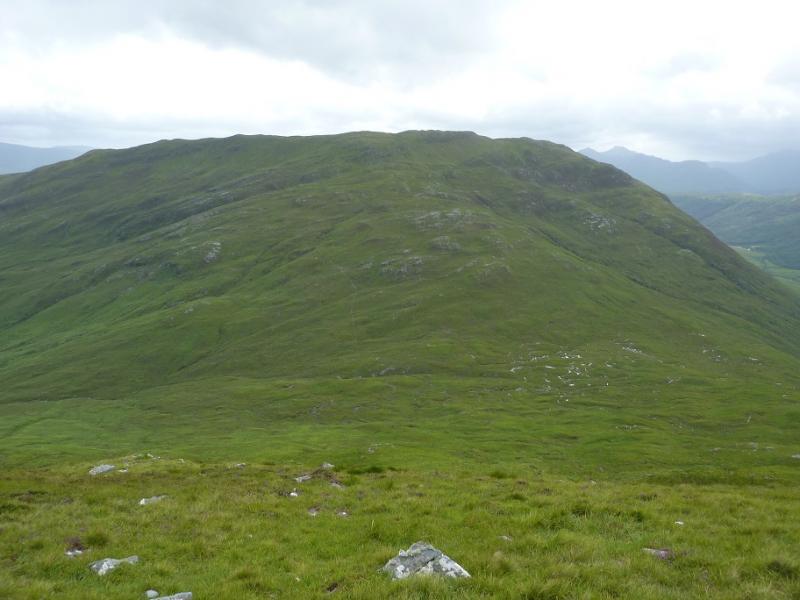
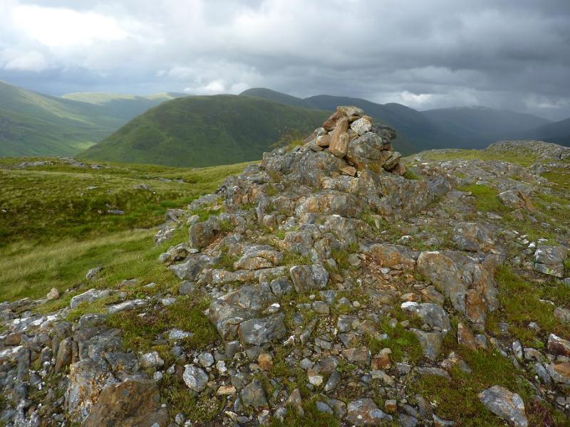
(2) Descend, roughly W, down easy grassy slopes to reach a broad grassy bealach. There is little in the way of a path. Pick a way up the mainly grassy slopes, steep in places, to reach the summit plateau of Aodann Chleireig where there are two cairns. The higher of the two is the northern one and looks towards Gulvain.
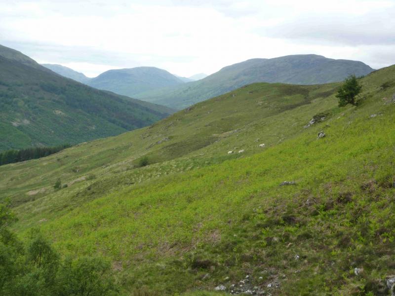
(3) Descend SE, down a broad grassy ridge crossing a deer fence by a high stile. An ATV may be spotted soon after and this can be followed down to the narrow gap between the two plantations at NN 010 800. Once through this, the going becomes quite rough with long grass and deep ferns. On the 1991 map, it looks possible to follow the left hand forest edge to reach a track but there seems to be some new planting which might make this more difficult than it looks. The right hand edge can be followed, down more rough ground, to reach the track shown on the map which goes E then down to the car park at Fassfern.
Notes
(a) This walk took place on 3rd August, 2013.
Photos - Hover over photo for caption. Click on to enlarge. Click on again to reduce.