Get Lost Mountaineering
You are here: Scotland » 04 Loch Leven and Loch Linnhe to Loch Ericht » Loch Trieg to Loch Ericht & Dalwhinnie
Beinn Eibhinn & Aonach Beag from Torgulbin to the North
Beinn Eibhinn & Aonach Beag from Torgulbin to the North
Start/Finish
Parking space on A86 Spean Bridge to Newtonmore road by Torgulbin at Sw end of Loch Laggan, NN 432 831. There is space for at least 10 cars.
Distance/Time
14 km bike + 15 km walk About 8 hours
Peaks
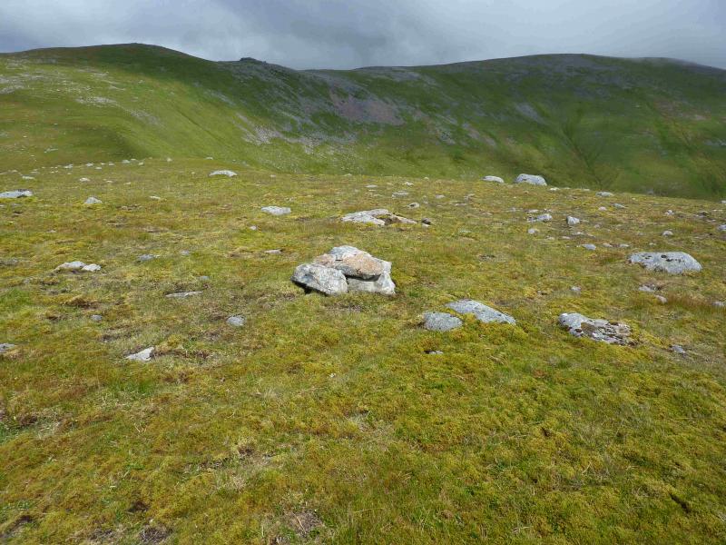
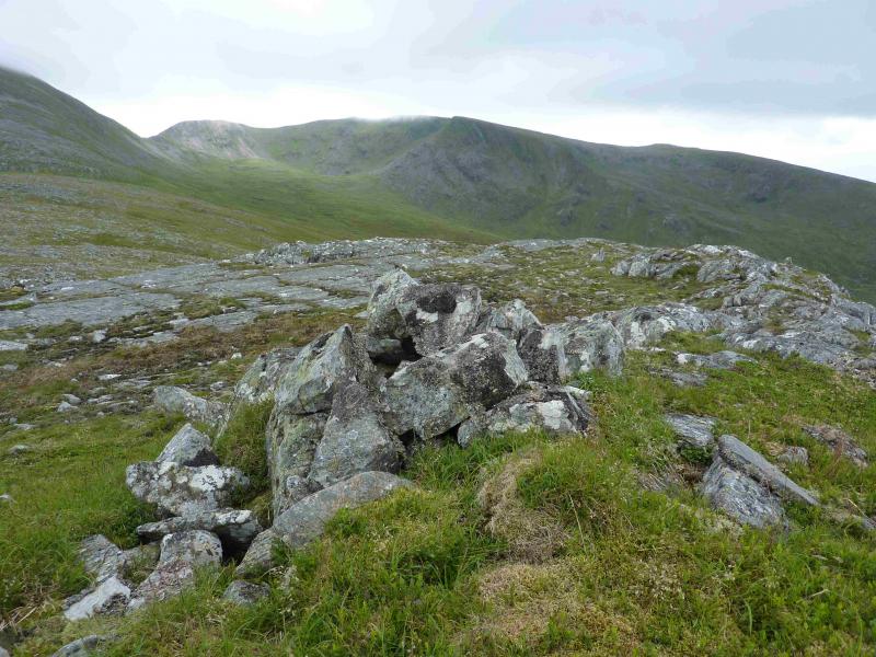
Mullach Coire nan Nead, 922 m, NN 430 734.
Meall Glas Choire, 924 m, NN 436 727.
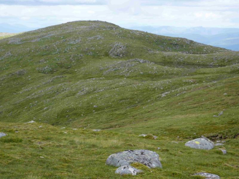
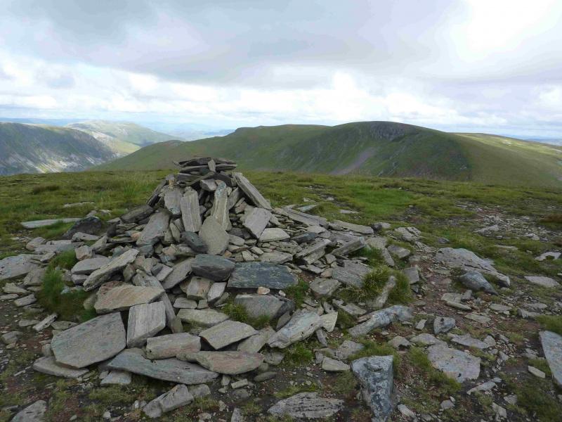
Beinn Eibhinn, 1102 m, NN 449 733.
Aonach Beag, 1116 m, NN 457 741. OS sheet 42.
Introduction
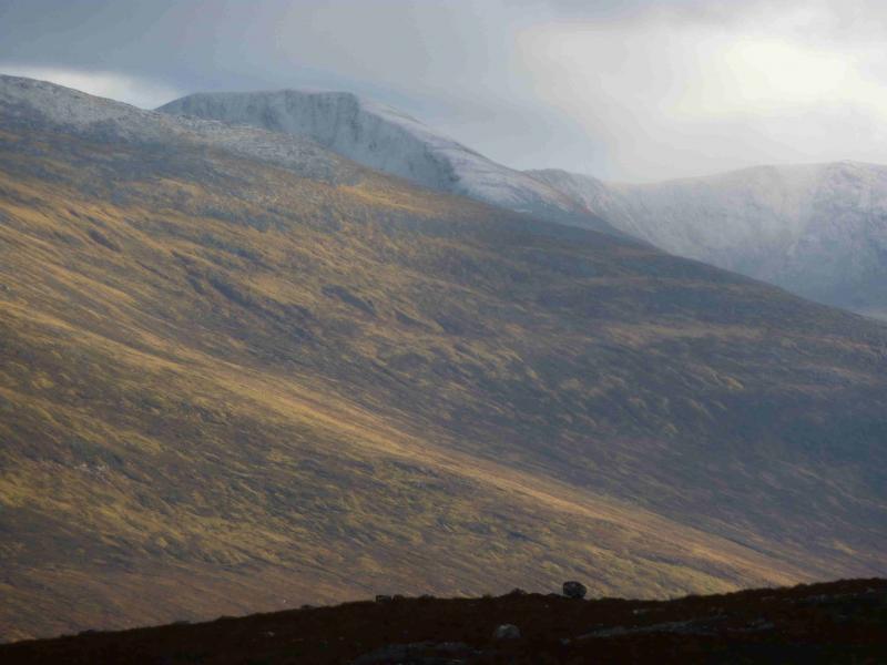
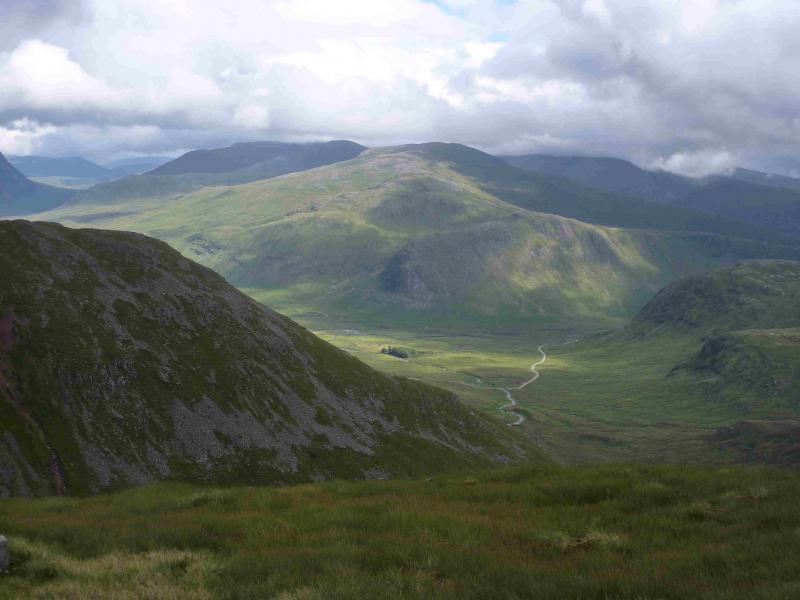
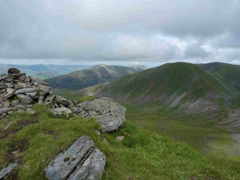
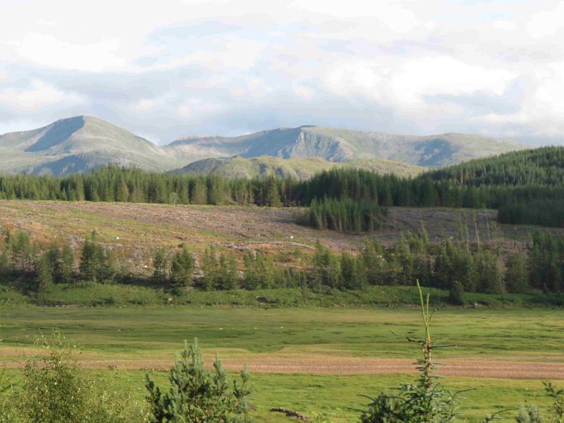
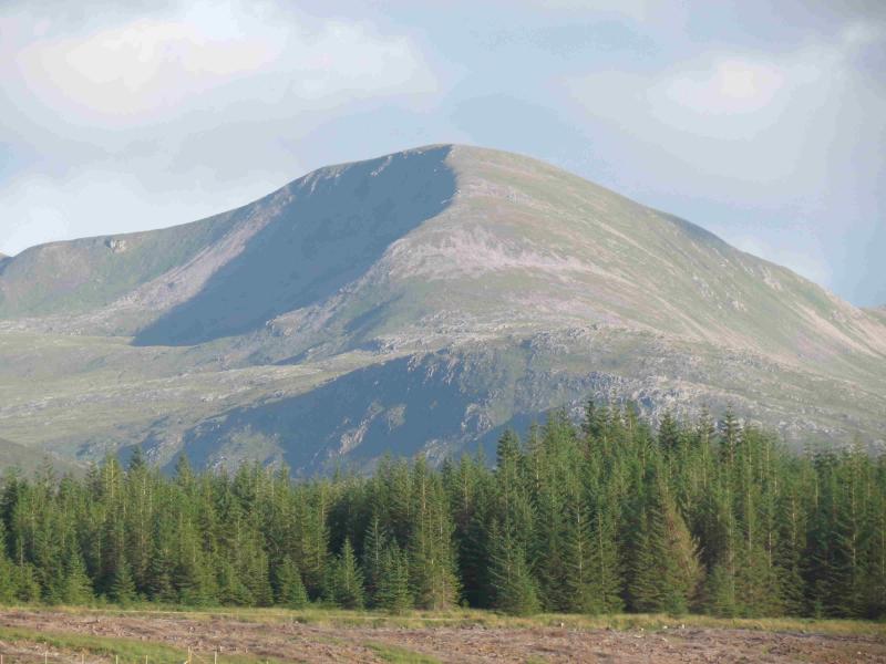
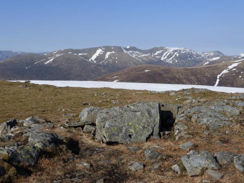
These are highly prized hills with excellent views in all directions. However, this is a strenuous day and navigation, although obvious in good weather, can be quite demanding especially in the ascent of Mullach Coire nan Nead. The views include Ben Alder, Loch Ossian, Beinn na Lap, Beinn a' Chlachair and Creag Meagaidh plus many, many more. Not using a bike will add nearly 2 hours to the day. The river crossing at the foot of the W ridge of Beinn a' Chlachair can be problematical in anything other than a dry spell. These two hills are often climbed from Corrour Station where one is constrained by the train timetable. This route poses no such problem.
Route
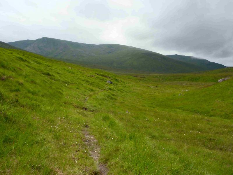
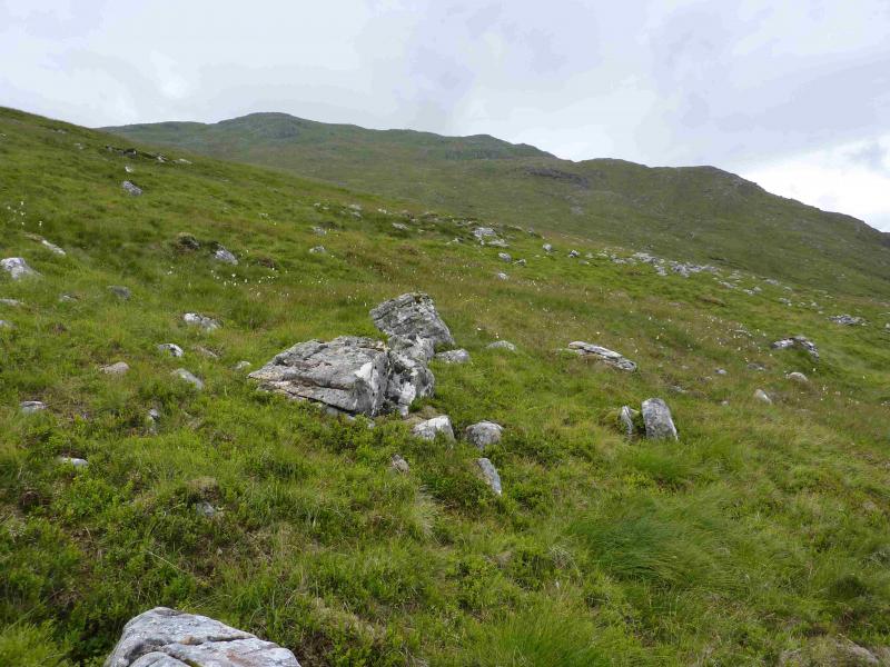
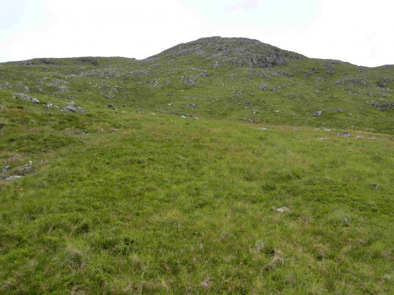
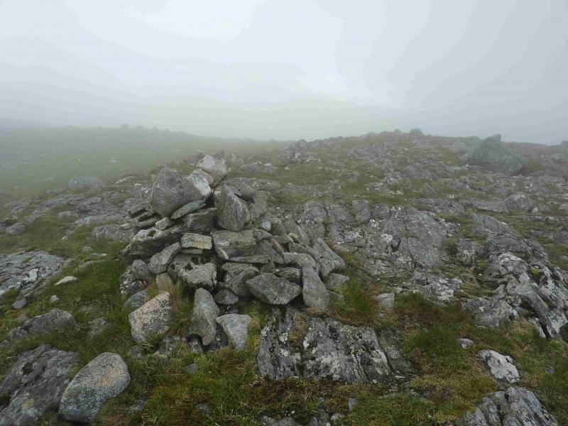
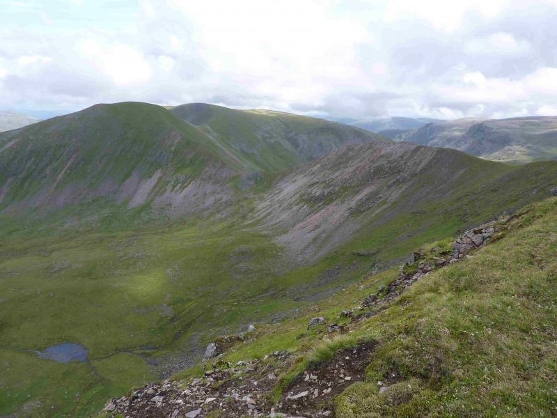
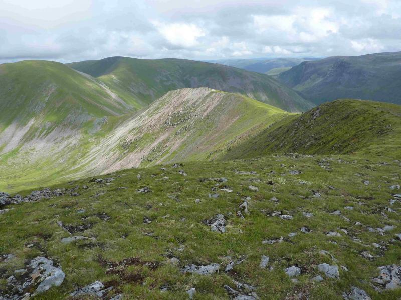
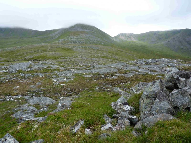
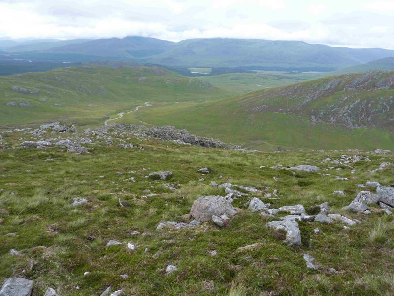
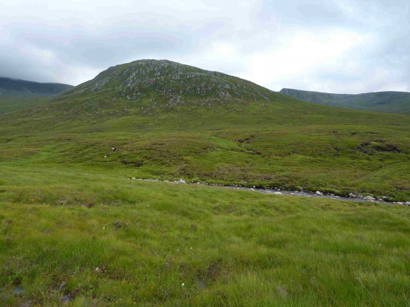
(1) Cross the river by the obvious bridge. At the first junction go left and soon reach a high locked gate with a pedestrian/cyclist gate at the side. Continue up the track, passing the turning to Loch Laggan, passing the SW end of Binnein Shuas, to reach another junction just before a lochan. Go right here and follow the track S. The track becomes a path at Lubvan, a ruin on the right so leave the bike here. Continue on the path, boggy in places, for just over 2 km to reach the foot of the W ridge of Beinn a' Chlachair. This is about where the main river, the Allt Cam, turns E. Have a look at the bottom of the N ridge of Aonach Beag to decide whether you want to walk off the end or use the alternative given below. Cross the river about here. An easy crossing is where there is a small island. Once across, head roughly SSW, across rough moorland containing some peat hags, aiming for the shallow bealach between Meall Cos Charnan and Aonach Beag. Continue, making a gentle rising traverse across the Sron an Fhurarain ridge, crossing the Allt Gualainn a' Charra Mhoir which flows out of the corrie between Beinn Eibhinn and Aonach Beag. When well into Coire na Cosaig, one can ascend to the N ridge of Mullach Coire nan Nead then walk N to the top. Alternatively, make a more direct ascent up rockier slopes but with no real difficulty to reach the medium cairn which marks the summit of Mullach Coire nan Nead, 922 m.
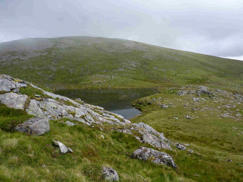
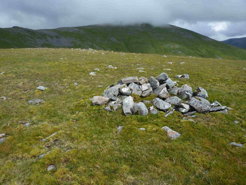
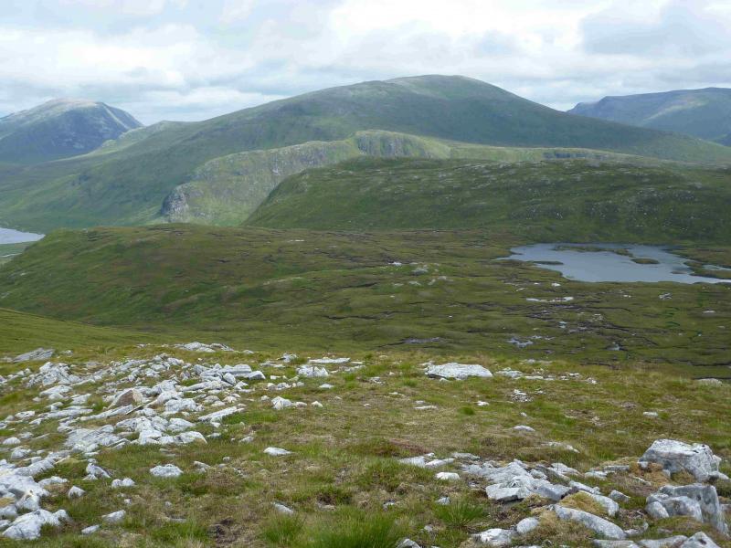
(2) From the summit, descend E on easy slopes to the more southerly of the two lochans shown on the map then contour SE, mainly on grass, before climbing up to the small cairn which marks the summit of Meall Glas Choire, 924 m.
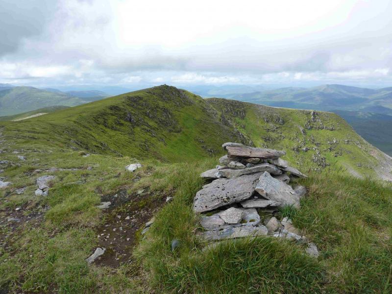
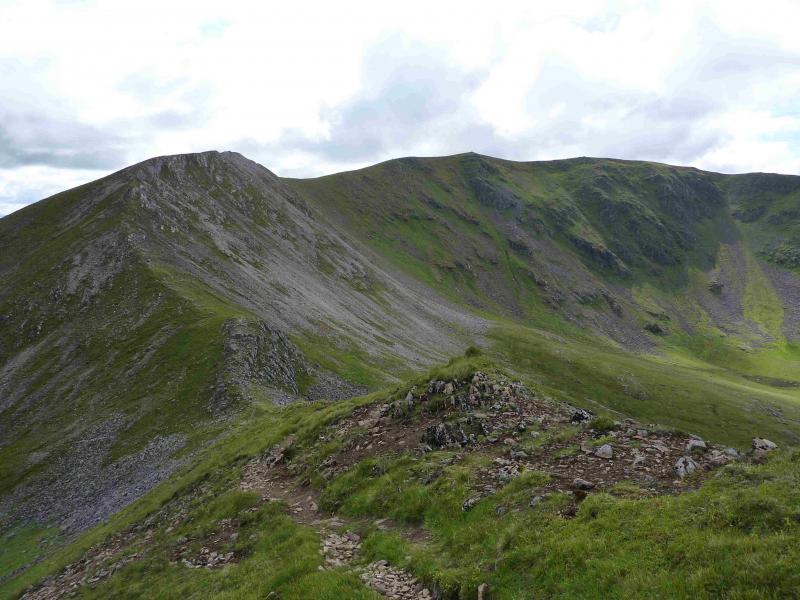
(3) A path leads almost due N down into a sharp bealach then up the other side before curving E to an obvious outcrop then continuing E to the corrie rim before going SE to the large cairn which marks the summit of Beinn Eibhinn, 1102 m. A further top is actually lower with a smaller cairn.
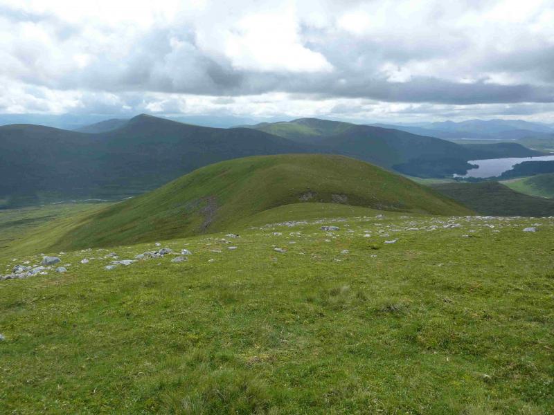
(4) Follow the corrie rim, on a good path, to the lower top then SE before turning NE where the ridge narrows and goes over a minor top before descending to a well defined bealach. Continue up the other side on a delightful path to reach the medium cairn which marks the summit of Aonach Beag, 1116 m.
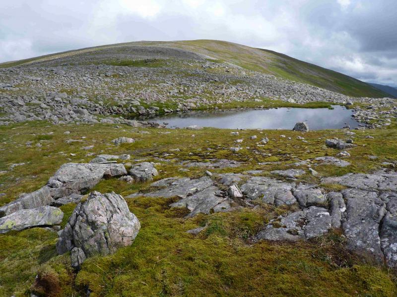
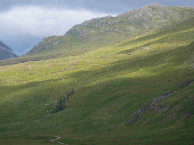
(5) Descend the well defined NW ridge of Aonach Beag. There are some stony/bouldery patches which are best outflanked on the left, W. Reach a broad grassy but shallow “bealach”. Continue, ascending slightly to the cairn on Meall Nathrach. Continue down the ridge until reaching a grassy strip crossing the ridge with a rock wall beyond. Either continue down the ridge, again outflanking potential rocky difficulties on the left or go right and follow the grassy strip off the ridge. A small stream flows this way and one can safely pick a way down grassy/heathery slopes by gradually drifting left to eventually reach lower ground further upstream than a direct descent of the ridge. Whichever route is chosen, cross the Allt Cam and follow the stalkers' path back to pick up the bike to enjoy an almost all downhill cycle back to Torgulbin.
Notes
(a) This route was walked on 30th May, 2006, and 5th August, 2013.
Photos - Hover over photo for caption. Click on to enlarge. Click on again to reduce.