Get Lost Mountaineering
You are here: Scotland » 04 Loch Leven and Loch Linnhe to Loch Ericht » Loch Trieg to Loch Ericht & Dalwhinnie
Beinn na Lap from Torgulbin to the North
Beinn na Lap from Torgulbin to the North
Start/Finish
Parking space on A86 Spean Bridge to Newtonmore road by Torgulbin at SW end of Loch Laggan, NN 432 831. There is space for at least 10 cars.
Distance/Time
22 km bike + 9 km walk About 7 hours
Peaks
Beinn na Lap, 935 m, NN 376 695. OS sheets 41 & 42.
Introduction
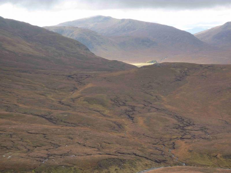
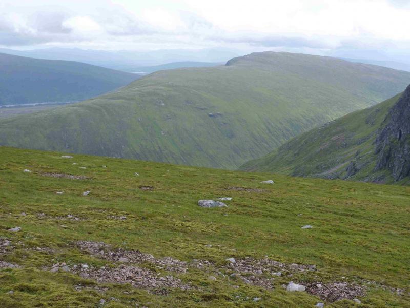
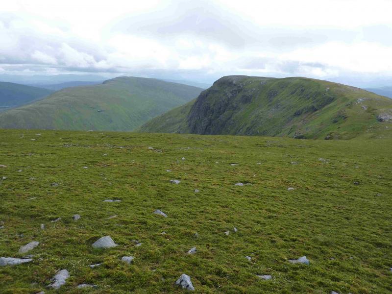
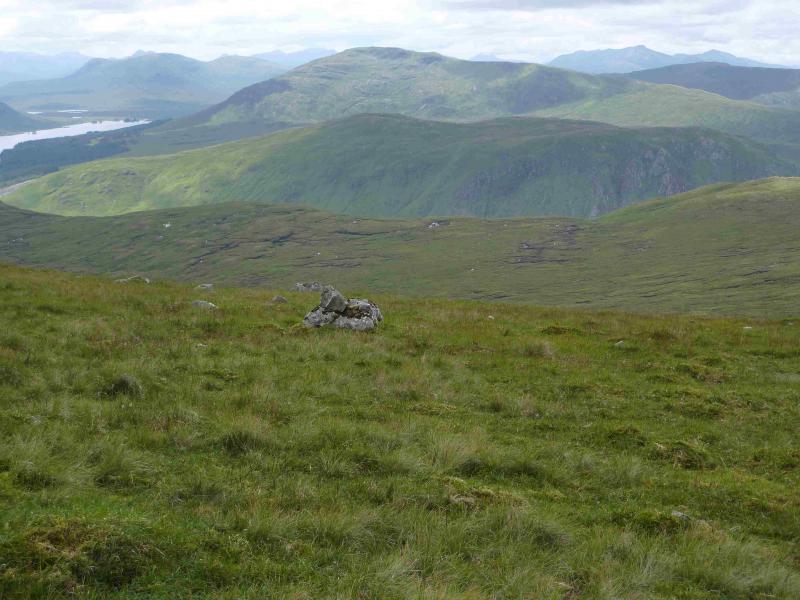
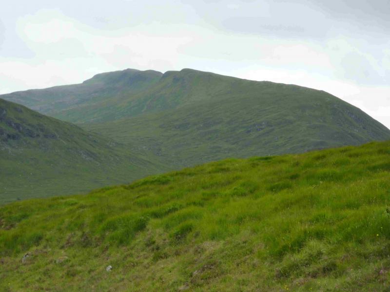
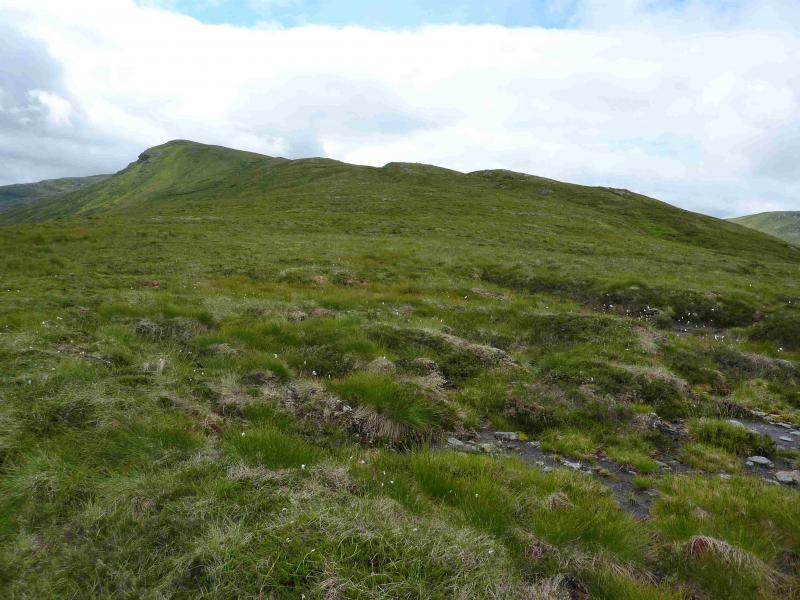
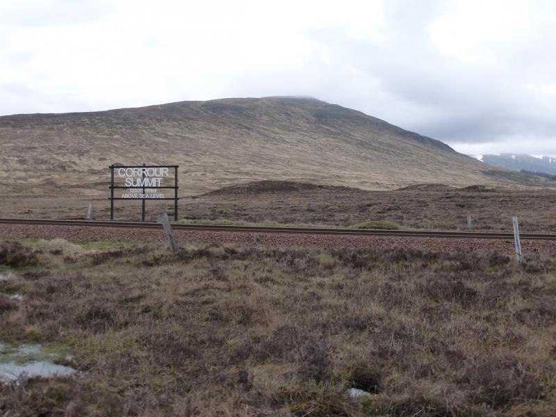
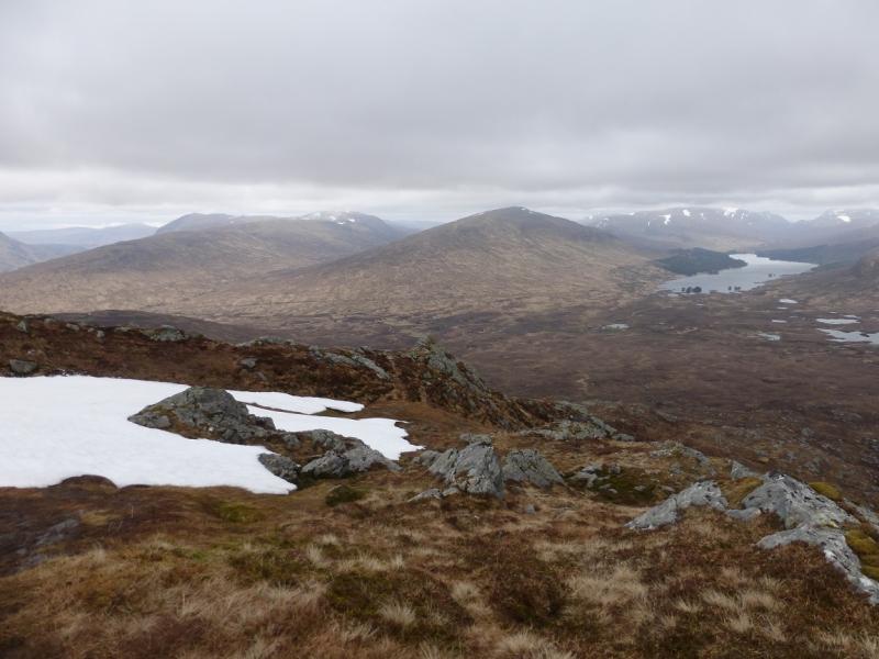
Beinn na Lap is most usually climbed from Corrour Station where one is constrained by the train timetable although the ascent and descent are easily completed in under 4 hours. This route poses no such problem but is longer. The approach is very scenic with excellent views which include Creag Meagaidh, Aonach Beag, Beinn Eibhinn, Beinn a' Chlachair, Ben Alder, Chno Dearg, Sgor Gaibre, Carn Dearg and many more. One of the most striking is the East face of Meall Garbh. The cycle in is not too difficult and the cycle out has only one climb. Unfortunately, the route lies on the edge of sheets 41 and 42 but navigation is not difficult. All the walking is on sheet 41. The summit is not visible until within about 400 m.
Route
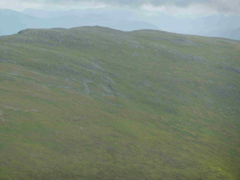
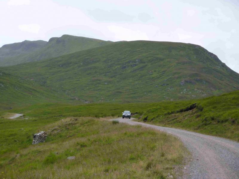
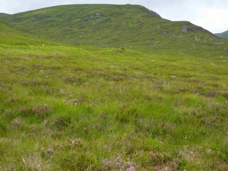
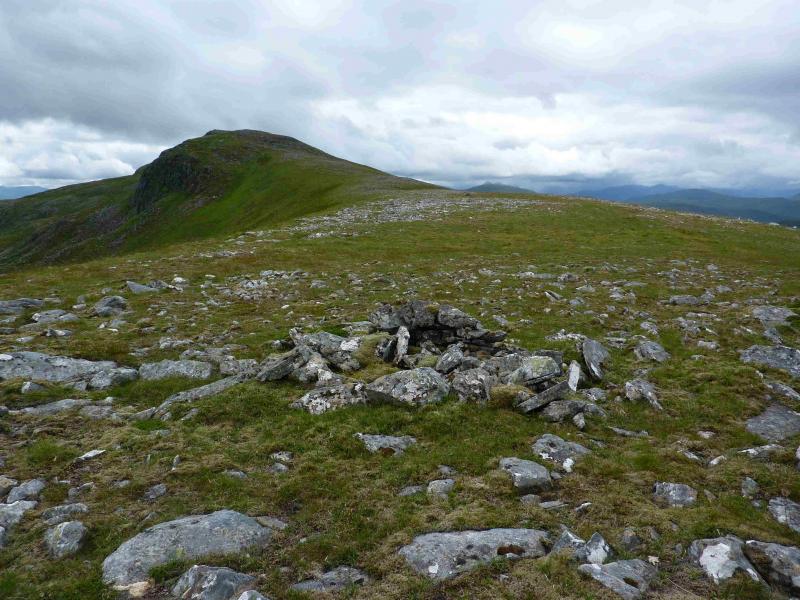
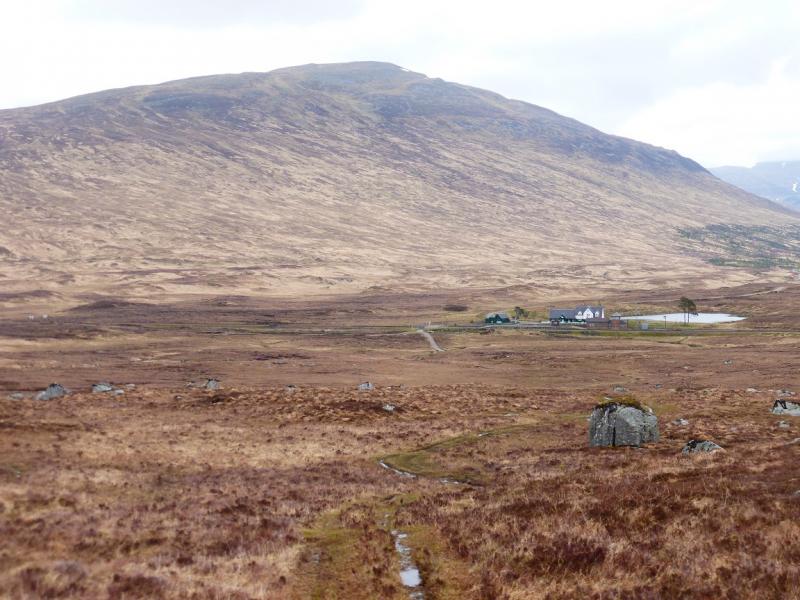
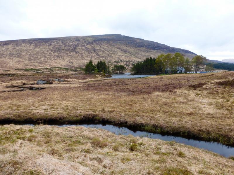
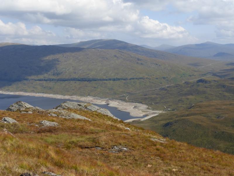
(1) Cross the river by the obvious bridge. At the first junction go straight on and cross another bridge. Pass a cottage then start climbing and pass a large white house with many rooms in the roof. Follow the main track, ignoring any turnings. There is a sign at the first bend and one much later. After about 8 km, reach the locked barrier at the edge of the forest. There is a side gate for cyclists. Continue past Loch Ghuilbinn. When the track crosses a bridge near a house in a small wood then swings left, there is a rough track going off to the right. Bikes should be left here as the track is too rough to cycle. About 100 m along this track, an even rougher ATV track goes off to the left and this could be followed up on to the crest. Better though, is to go a little further, cross the stream coming from the left then pick a way up the easy slopes on to the crest. Walk SSW along the crest where the going underfoot improves with height. The ATV track eventually joins the ridge and there is a path higher up but neither are really needed as the ground is so pleasant to walk over. Some of the “tops” have small cairns on them which should not be mistaken for the summit. The steepest section climbs up on to the summit crest. About 400 m further, the large cairn, with side walls, is reached which marks the summit of Beinn na Lap, 935 m.
(2) Retrace the outward route. The ATV track may be followed off the ridge if one wishes but it is faint in places and often boggy.
Notes
(a) This route was walked on 6th August, 2013.
Photos - Hover over photo for caption. Click on to enlarge. Click on again to reduce.