Get Lost Mountaineering
You are here: Ireland » South » Galtymore Mountains & North Tipperary
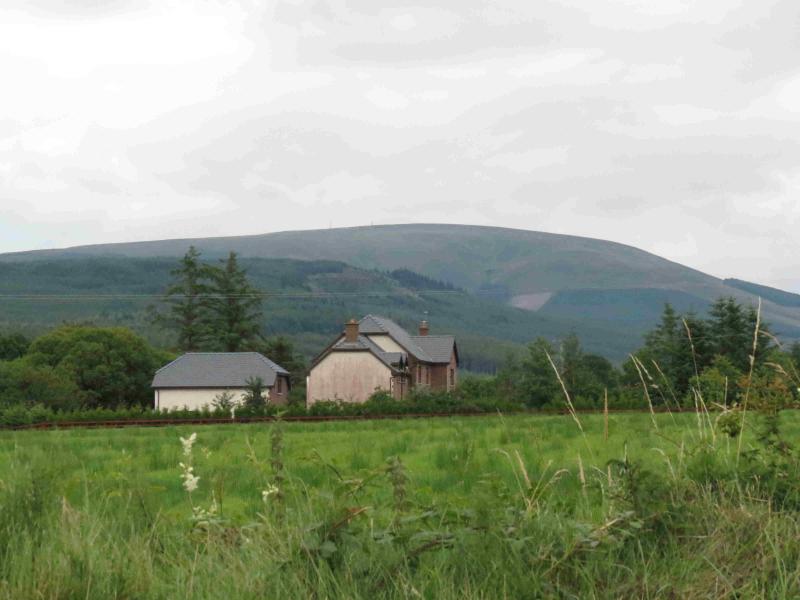
Slievekimalta or Keeper Hill
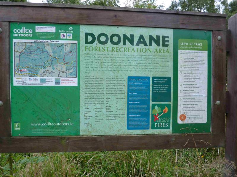
Slievekimalta or Keeper Hill from Doonane
Start/Finish
Doonane at R 780 654. Doonane is small car park up a rough, but driveable track, off a minor road which runs NE then E from the small town of Newport. If signs for “Trailhead” are seen, they lead past this car park which has a named notice board so you will know if you are there. It is not easy to find Doonane from Newport as it is not on any signs.
Distance/Time
17 km About 4 hours
Peaks
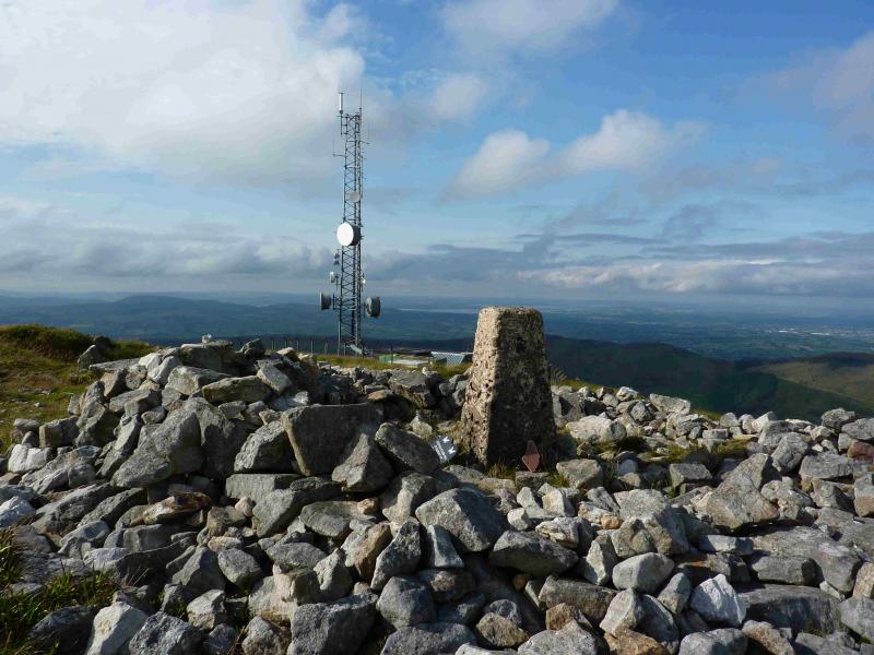
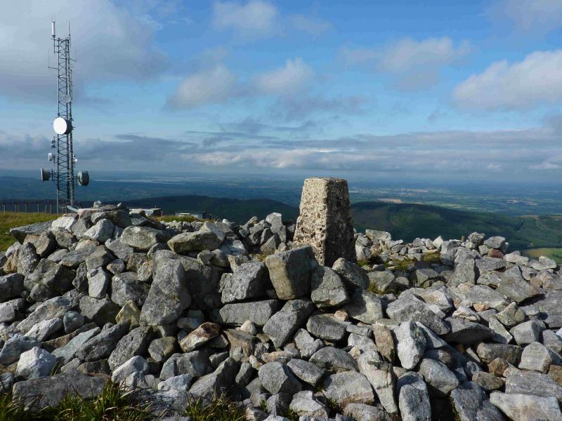
Slievekimalta or Keeper Hill, 694 m, R 824 666. (Irish National Grid System)
Irish OS Discovery Series Map 59 (1:50000)
Introduction
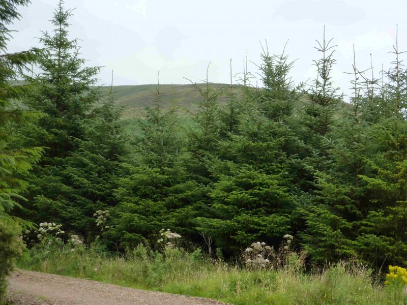
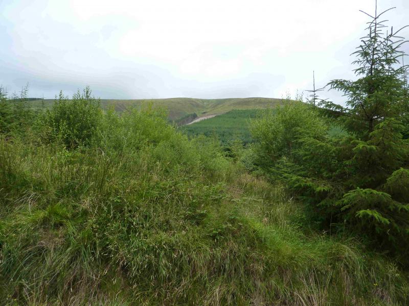
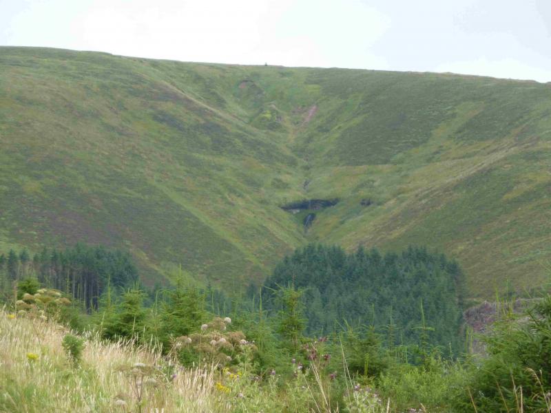
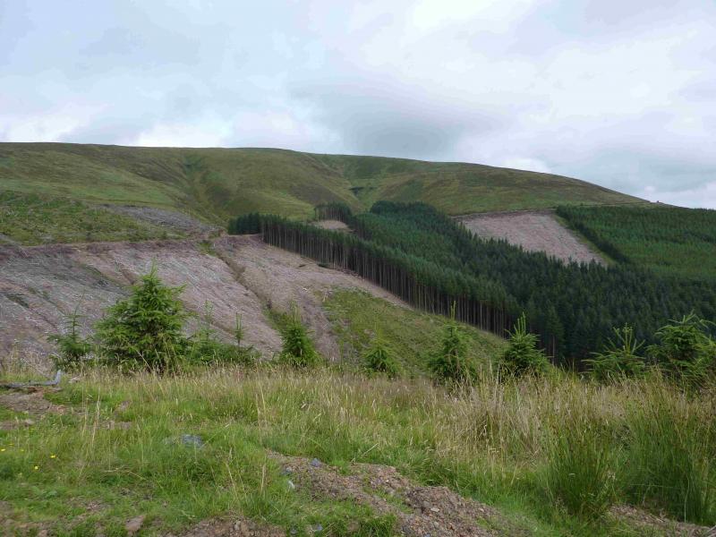
This is the only hill in the area above 610 m so on a clear day is a good view point but only for lower hills and lochs, including the massive Lough Deirg to the NW. The Shannon estuary is also visible to the W. If very clear, the Galtee and Macgillycuddy's Reeks will be visible in the distance. The hill is covered in forestry and much of the route goes through it making the approach rather tedious. Waymark signs can, however, be followed all the way making navigation simple even in thick weather.
Route
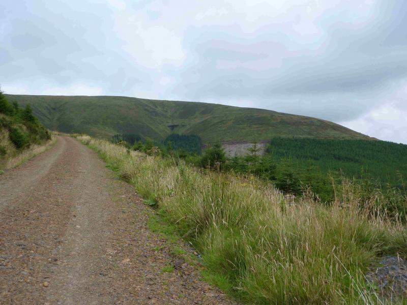
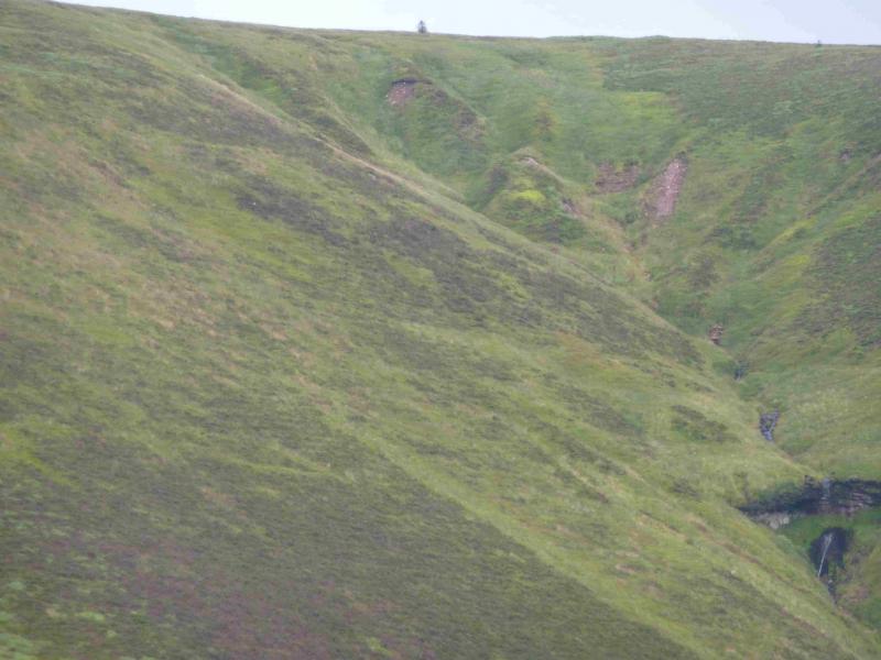
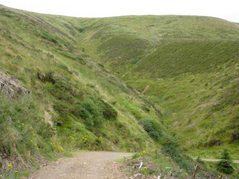
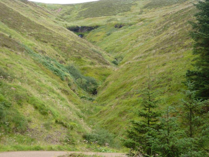
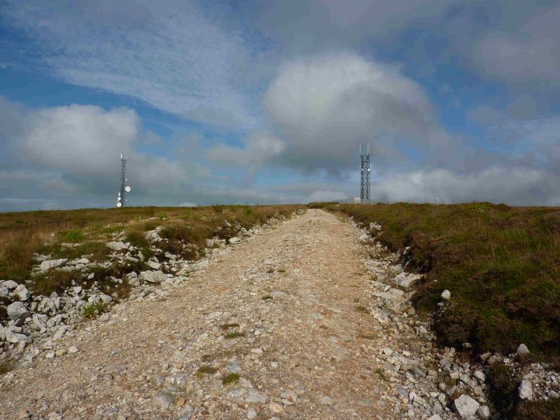
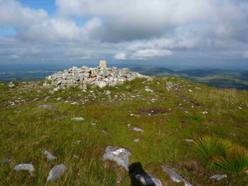
(1) Walk out of the car park and turn right. Soon reach a junction where a pedestrian sign points right, up a good track. Follow this track, with the occasional pedestrian sign, all the way to the junction at R 806 663. At times the track appears to double back but stay on the main track whatever. At this junction, a red arrow points right and it also says Trailhead is about 40 minutes away if one were to go straight on which is an alternative return route. Go right and follow the track across the bottoms of two grassy gullies. Continue to the highest point of the track then descend slightly. Just before the track enters a wood, there is a fork going up steeply on the left with a red arrow pointing this way. Follow the fork, with some more red arrows along the way, all the way to the top where there are two large aerials and a trig point inside a broken down stone circle which marks the summit of Slievekimalta or Keeper Hill, 694 m. The summit is not seen until about 400 m away when the two aerials become visible after a right hand bend.
(2) Retrace across the gullies to the junction then either return by the outward route or go right, following the red arrows. This leads down to another track then back to Doonane with helpful red arrows along the way.
Notes
(a) This walk took place on 13th August, 2013.
(b) There is a very good camp and caravan site, at Ballinacourty House in the Glen of Aherlow, at R 857 294. It is very close to Clydagh Bridge and an ideal base for the Galtee. It is very well laid out with free showers. There is a small campers’ kitchen with 1 table and sink plus a free gas cooker, microwave, fridge and freezer. You may need your own pans. The nearest shop is in the village of Lisvarrinane, about 15 minutes walk. Tipperary, with a Tesco and Lidl, is about 7 miles.
Photos - Hover over photo for caption. Click on to enlarge. Click on again to reduce.