Get Lost Mountaineering
You are here: Ireland » South » Galtymore Mountains & North Tipperary
Cush, Galtybeg & Galtymore Horseshoe from Clydagh Bridge
Cush, Galtybeg & Galtymore Horseshoe from Clydagh Bridge
Start/Finish
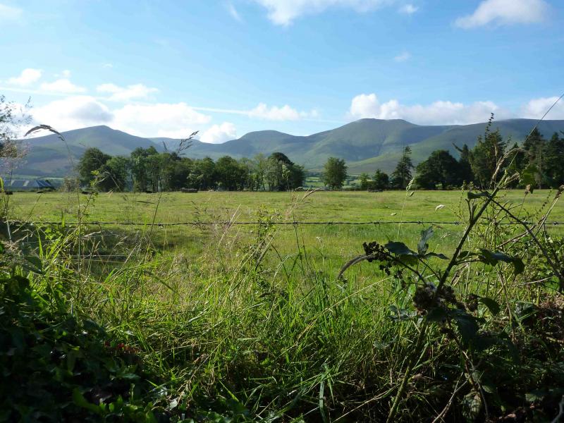
Galtymore is the only “Munro” in the Galtee Mountains to the south of the Glen of Aherlow, south of Tipperary. The R 663 is the major road running through the Glen of Aherlow. At a staggered crossroads at R 861 288, about a mile E of the village of Lisvarrinane, turn left, SSE. At next junction, go left, ENE, and follow signs for Galtymore to car park up a minor lane, from Clydagh Bridge, at R 874 277.
Distance/Time
13 km About 6 hours
Peaks
Cush, 639 m, R 894 262. (Irish National Grid System)
Galtymore, 919 m, R 878 237.
Galtybeg, 799 m, R 890 241. Irish OS Discovery Series Map 74 (1:50000)
Introduction
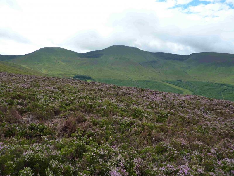
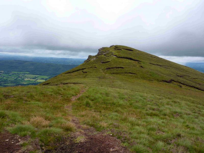
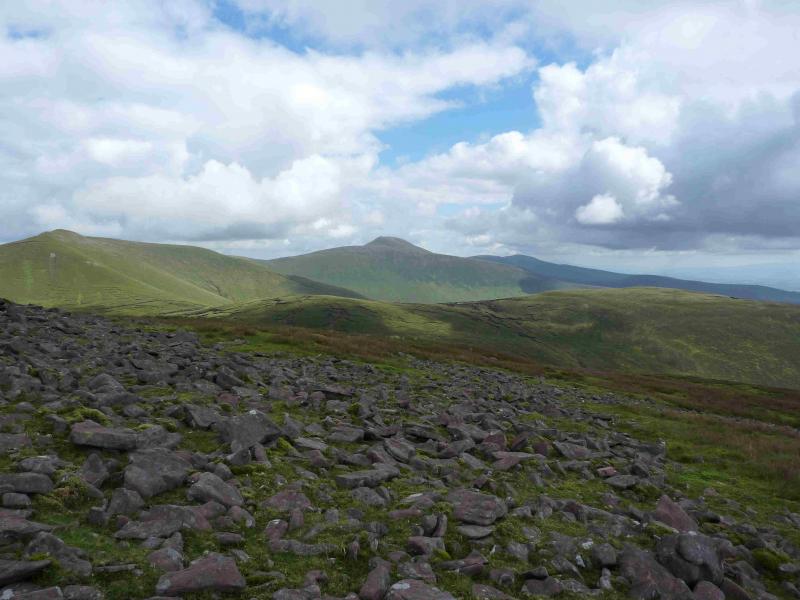
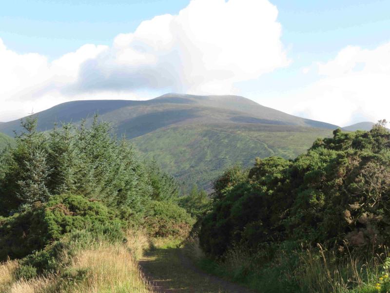
The Galtee are a picturesque range especially when viewed from the Christ the King statue on the R 664 to Tipperary. Navigation is relatively straightforward but if you need to, you should be able to easily reset your GPS to the Irish National Grid System. The ascent of Cush is probably the highlight of the round – a lovely little path goes straight up the nose.
Route
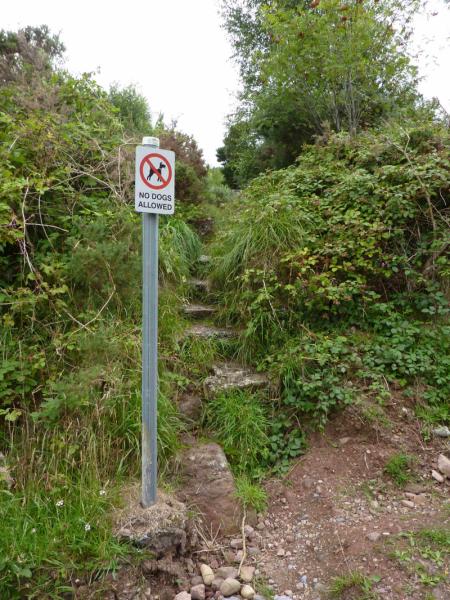
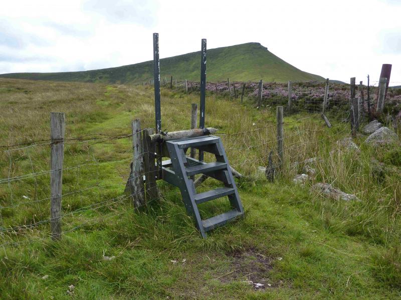
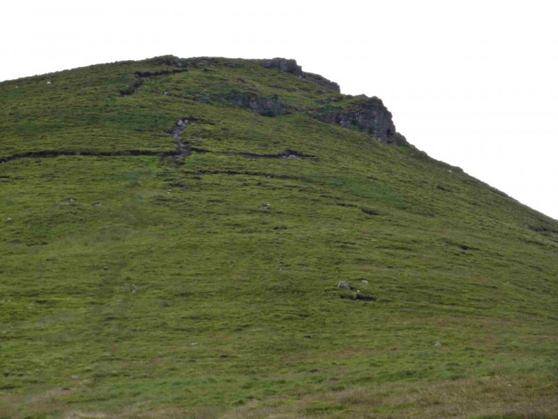
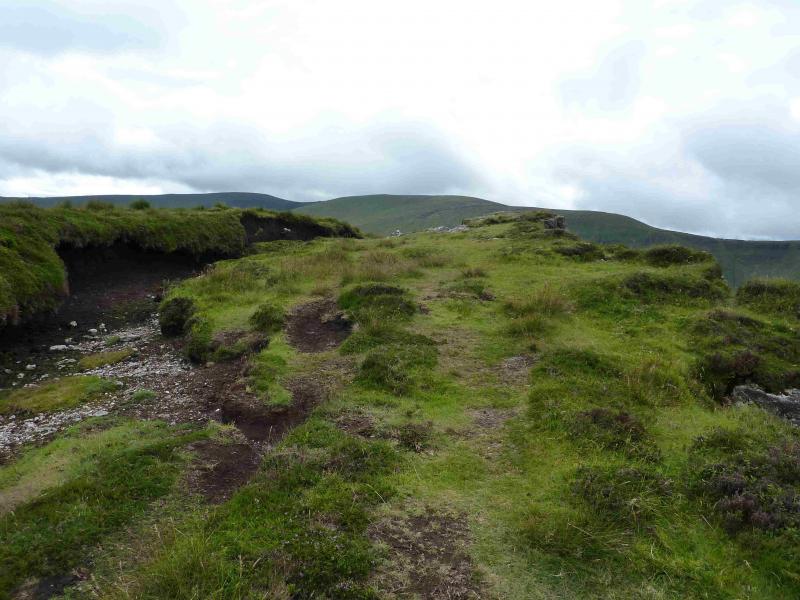
(1) Walk out of the car park and turn right, up the lane. Soon a wide entrance to a forestry track is reached on the left. Ignore it and continue. Not much further, and easily missed, are some rough concrete steps on the left which are slightly overgrown between some trees. A very helpful “No dogs” sign is a useful marker. If you walk past, there will be a deep rough lay by on the right then some buildings on the left. Go up the steps and, within 20 m, clear the trees to cross a stile and be on the open hillside. The main forest will be on your left behind a low fence. The path is obvious and leads up the hill, initially shadowing the edge of the forest. On a clear day, Cush will be obvious. The path reaches a stile which should be crossed and there is now a barbed wire fence on the right. Continue on the path with the fence going right before too long. The path now picks its way up the NW ridge of Cush which is moderately steep but there are no difficulties. Higher up, the path passes between two small crags and soon reaches a level section with small crags below the right hand edge. There is no cairn but the highest point seems to be a large flat rock on the right hand edge and this is most likely the summit of Cush, 639 m. Set back from this rock is a level grassy bank with a peat trough between the rock and the bank.
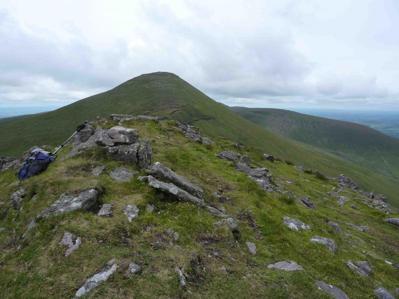
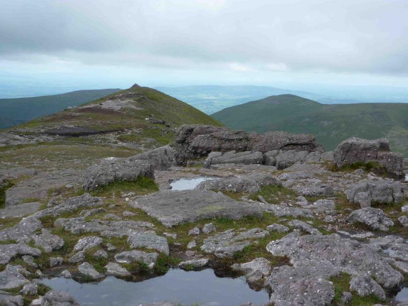
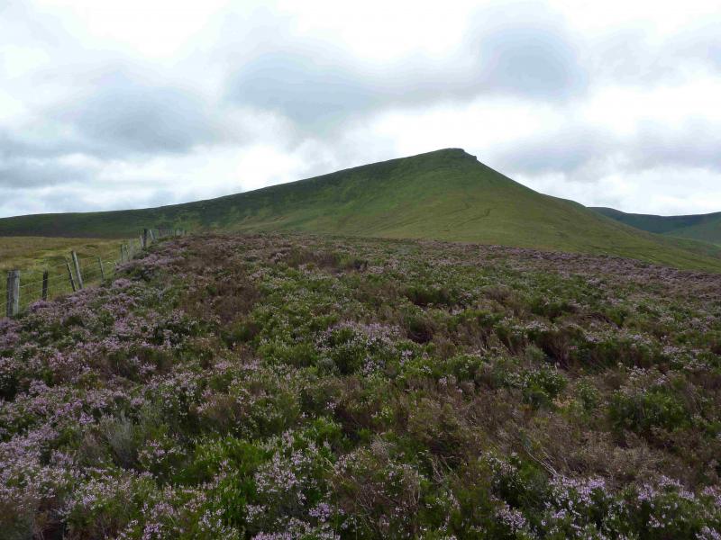
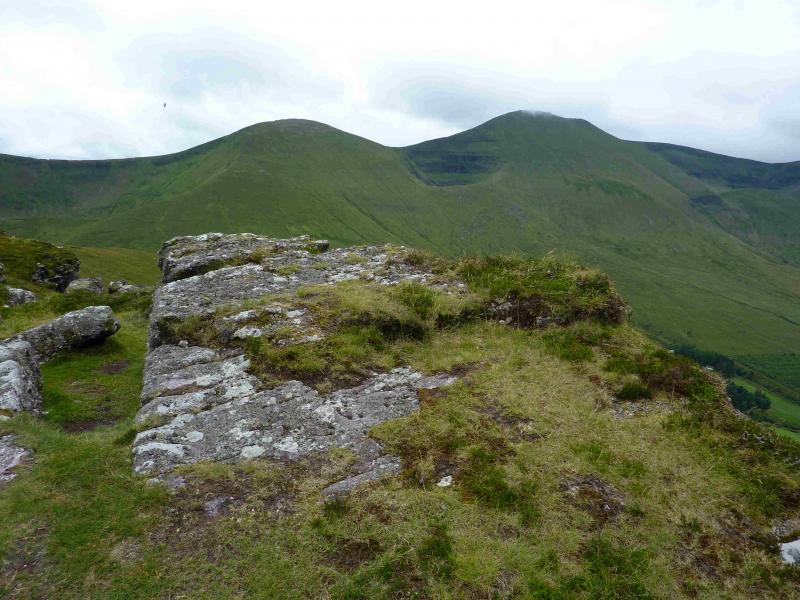
(2) Continue along the crest, descending almost due S, still on the path. One section is moderately steep grass and there can be short boggy sections which are easily avoided. The path leads into a wide grassy col then continues up the other side on grassy slopes to reach the crest of the NE ridge. Head SW up this ridge. When the angle eases, reach a small cairn, on a rock, on a narrow, fairly level, grassy ridge which is the summit of Galtybeg, 799 m. Note that this cairn is not always there!
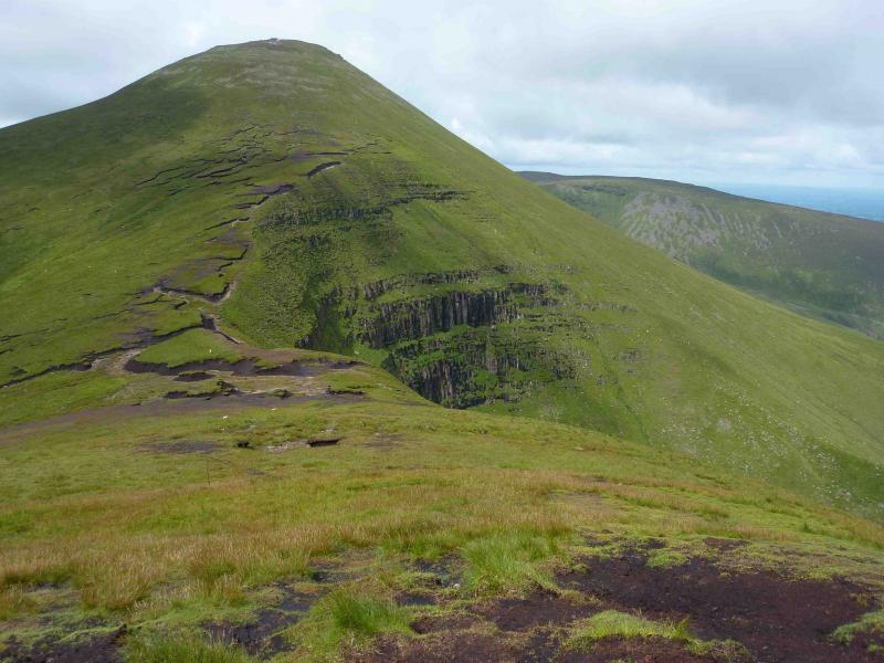
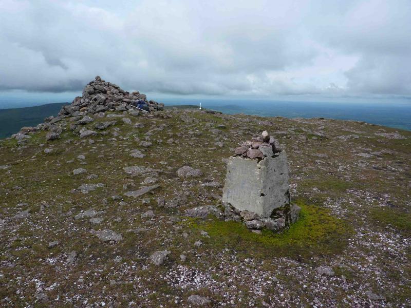
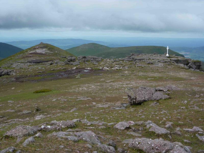
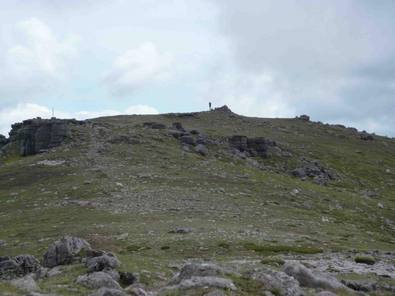
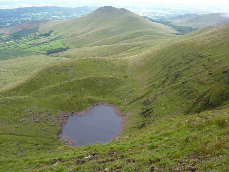
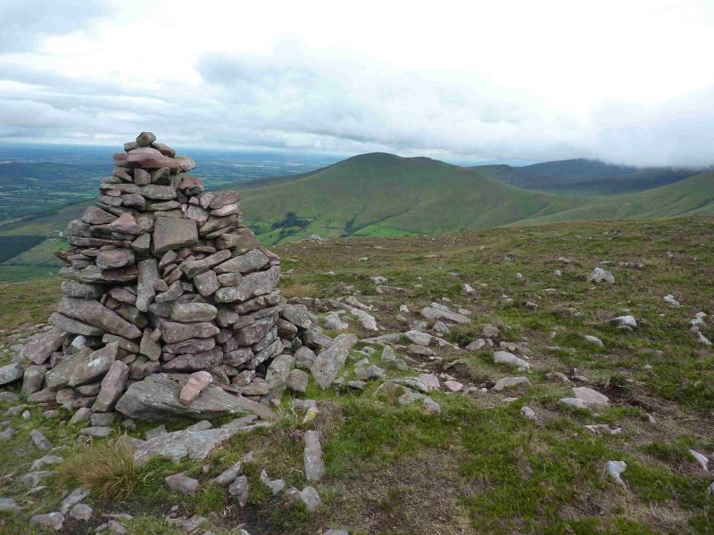
(3) Descend WSW with the best path being on the right, NW, side of the ridge to reach a peaty col then ascend moderately steep, grassy slopes towards Galtymore with the best path initially on the right then it drifts left. Eventually reach a grassy/stony plateau with a large cairn and remains of a trig point which is the summit of Galtymore, 919 m. About 30 – 40 m past the summit on the right edge, sitting on a rocky outcrop, is a white Celtic cross erected in 1975. About 100 m further on is another well cairned top.
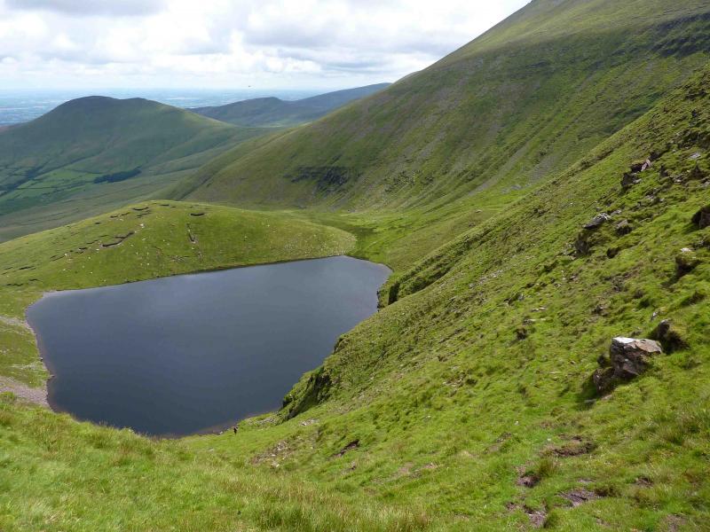
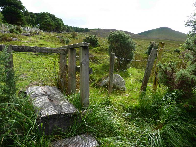
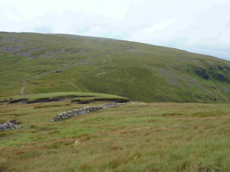
(4) Continue along the summit ridge past the second top then descend WSW to reach the start of a meandering wall which, more or less, follows the crest. The best path is on the right, close to the edge. At the lowest point of the wall, there is a faint path, on the right, going down steep, grassy slopes to Lough Curra. Ignore this and continue on a path which climbs gently and gradually diverges away from the wall – going right. This path, faint in places, traverses across the E flank of Slievecushnabinnia then descends the NNE ridge over Knocknanuss. Other paths cross this ridge. There is a large cairn lower down. Much lower down, a waymarked fence post will be met which is on the path from Lough Curra. This is near a small knoll. A little further and the path goes right, towards the forest, following a line of waymarked fence posts. Unfortunately, the first one which indicates the change of direction is on the ground but the lower ones should be visible unless the cloud is very low. The fence posts lead into the forest and a narrow path soon meets a wide grassy track. Follow this track back to the car park.
Notes
(a) This walk took place on 14th August, 2013.
(b) There is a very good camp and caravan site, at Ballinacourty House in the Glen of Aherlow, at R 857 294. It is very close to Clydagh Bridge and signposted from the same staggered crossroads. It is very well laid out with free showers. There is a small campers’ kitchen with 1 table and sink plus a free gas cooker, microwave, fridge and freezer. You may need your own pans. The nearest shop is in the village of Lisvarrinane, about 15 minutes walk. Tipperary, with a Tesco and Lidl, is about 7 miles.
Photos - Hover over photo for caption. Click on to enlarge. Click on again to reduce.