Get Lost Mountaineering
You are here: Ireland » South » Galtymore Mountains & North Tipperary
Temple Hill, Knockaterriff, Lyracappul, Carrignabinnia & Monabrack from the South East
Temple Hill, Knockaterriff, Lyracappul, Carrignabinnia & Monabrack from the South East
Start/Finish
A small rough grassy “lay by” at R 864 191 which is opposite a right fork up what looks to be a rough track. The track is not too bad but parts of it are totally unsuitable for normal cars but fine for landrovers. It could be cycled. If you miss this turning, you will soon cross the river indicating you have gone too far. If the “lay by” is occupied you will have to look around for somewhere to park, possibly just after the bridge if you go past the lay by. From the small village of Kilbeheny, at about R 860 158, drive ENE, along the main road towards Caher (Cahir). Once out of the village, take the second left (excluding the short private drive in between the two turnings). This is signposted “Galtymore Climb”. Follow this N. At a fork, the Galtymore road goes right. Go straight on. At the next fork, take the left hand road. It is about a mile to the start from here.
Distance/Time
13 km About 7 hours
Peaks
Temple Hill, 785 m, R 833 218. (Irish National Grid System)
Knockaterriff, 692 m, R 848 216.
Knockaterriff Beg, 679 m, R 844 222.
Lyracappul, 825 m, R 845 231.
Carrignabinnia, 822, R 850 237.
Monabrack, 629 m, R 859 219.
Irish OS Discovery Series Map 74 (1:50000)
Introduction
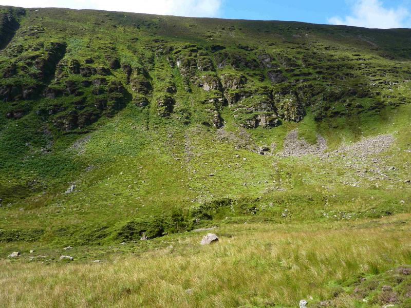
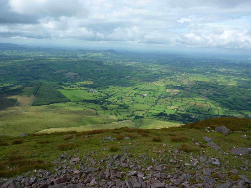
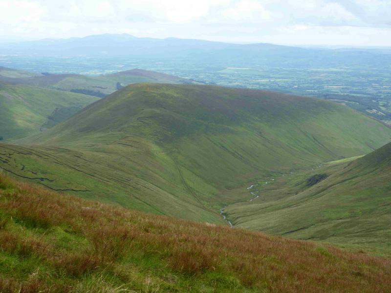
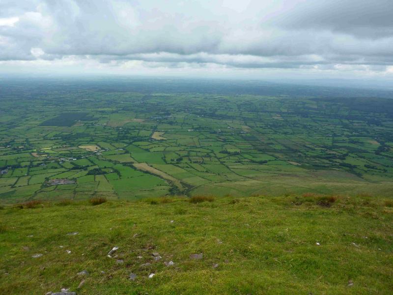
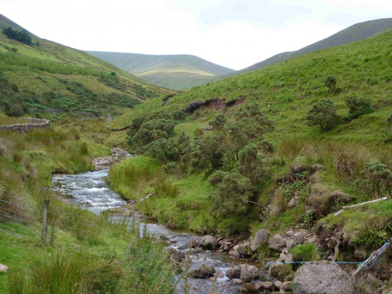
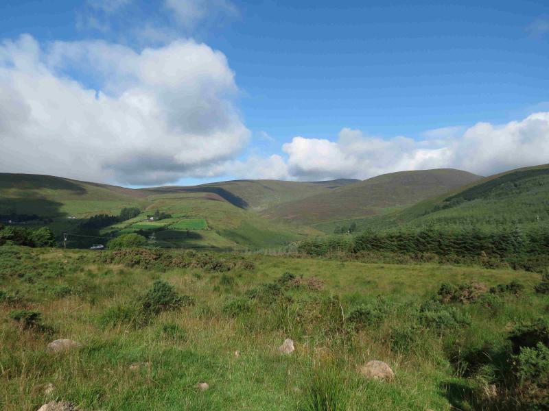
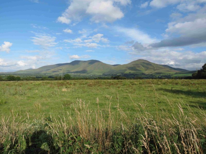
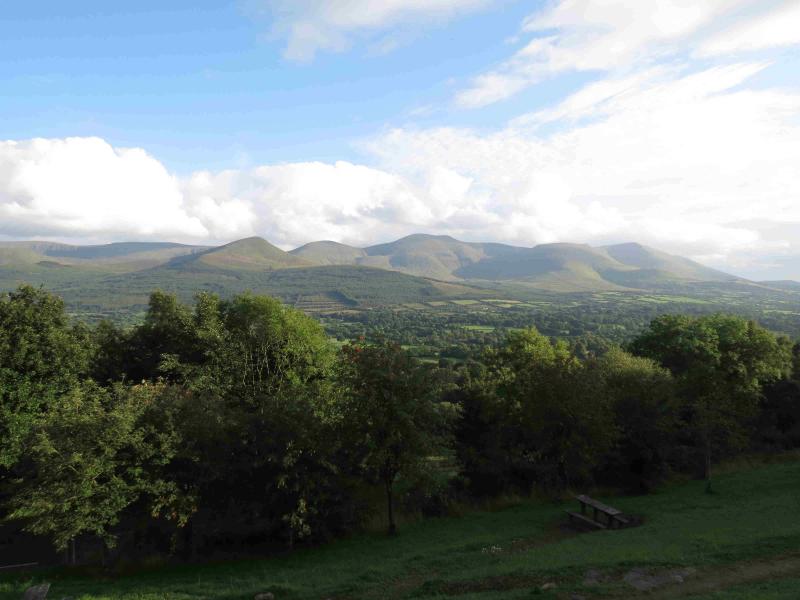
The Galtee are a picturesque range especially when viewed from the Christ the King statue on the R 664 to Tipperary. These hills are the western end of the Galtee range and offer good views of the surrounding countryside as well as Galtymore itself. The route goes past Pigeon Rock which, despite its promising name, is simply some exposed rock strata on the W side of the river.
Route
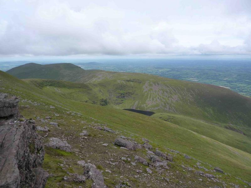
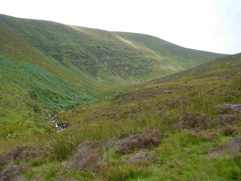
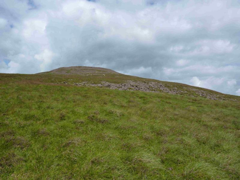
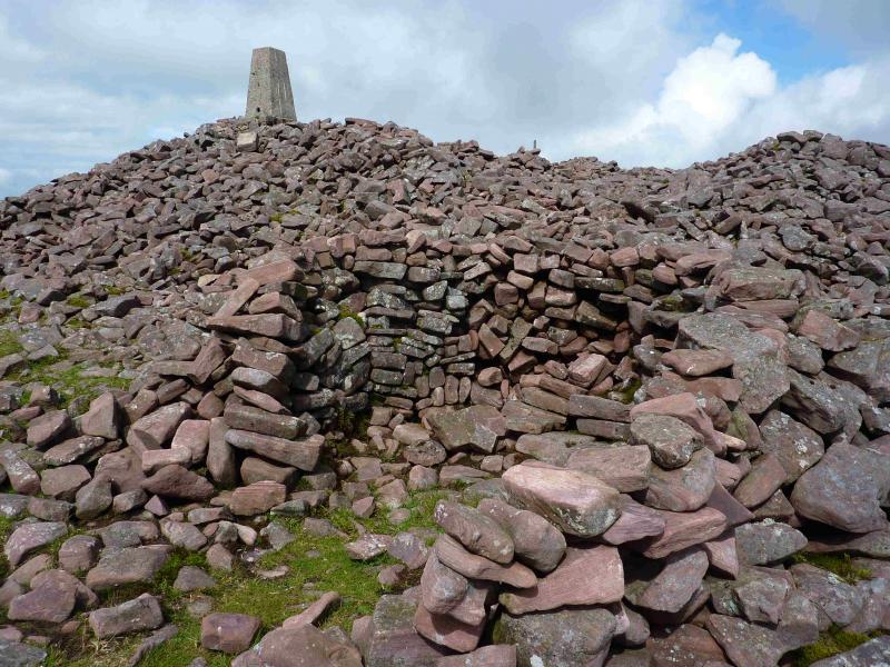
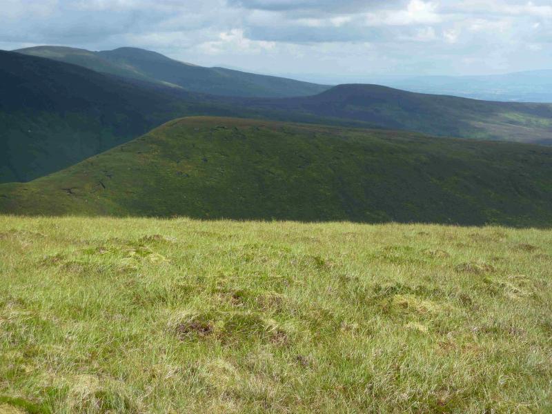
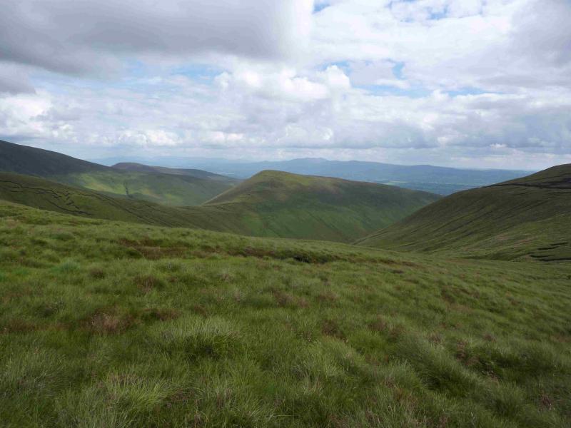
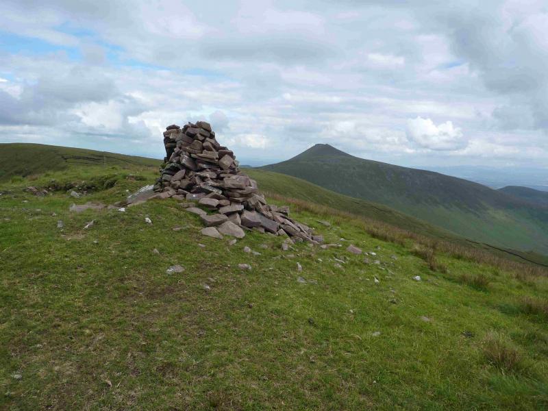
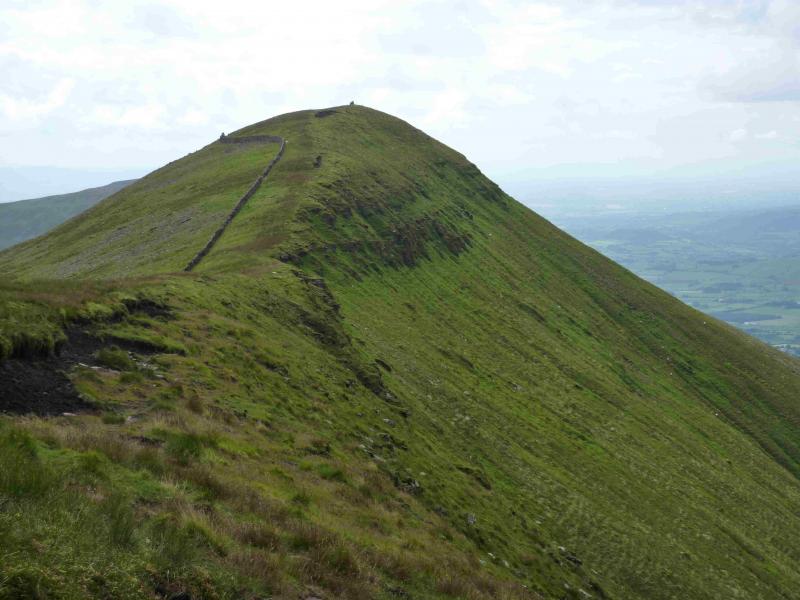
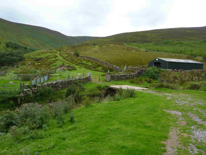
(1) Walk up the track to where it goes sharply right and uphill. Ignore this turn and cross the bridge just before a modern barn. Go through the gate and continue ahead to the first bend where the track is left and one goes straight on. Keep the Pigeon Rock River on your left and walk upstream, generally on a good but narrow path above the river. After Pigeon Rock is passed, look for a stream in a large grassy gully on the left. Cross the river, usually without difficulty unless there has been heavy rain, and walk up one side of the stream on grassy slopes. When the stream peters out, continue to the crest and walk slightly W of N on gentle slopes. When the ground steepens slightly and becomes more stony, continue and soon reach the massive cairn and trig point which marks the summit of Temple Hill, 785 m. This may be the largest summit cairn in the British Isles, possibly only beaten by Tinto in the Scottish Borders.
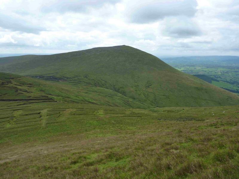
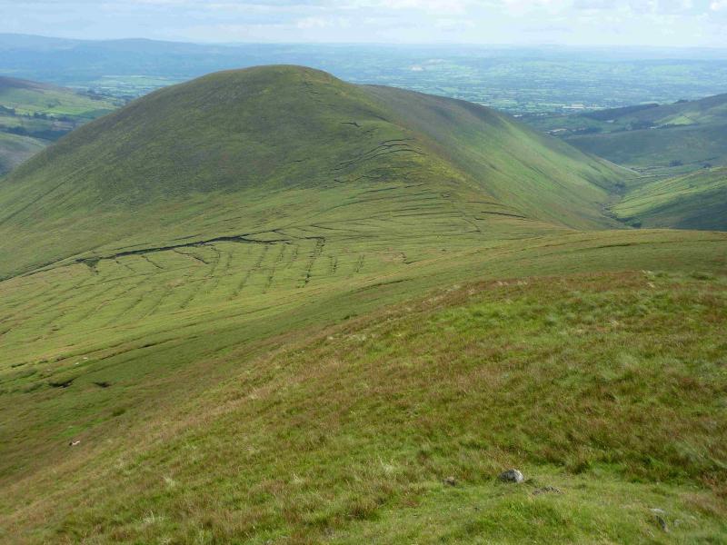
(2) Descend slightly N of E to a wide peaty and boggy col. Pick a way through carefully then pick a way SE, traversing Knockaterriff Beg, and ascend easy slopes, with the occasional peaty patch, to reach the small cairn which marks the summit of Knockaterriff, 692 m.
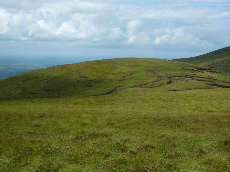
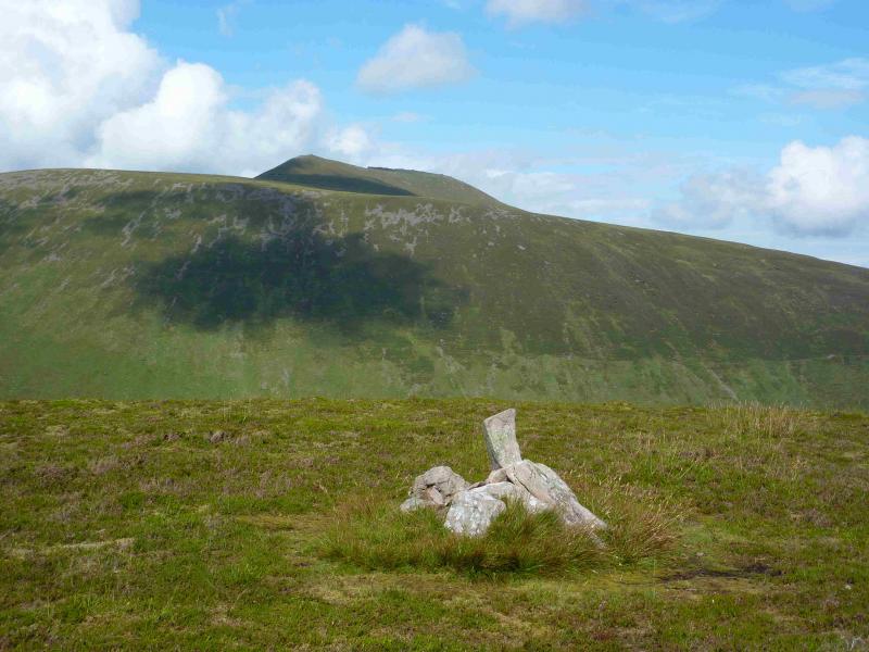
(3) Descend N to a peaty col then make a short easy ascent to Knockaterriff Beg, 679 m. There is no cairn to mark the summit. There is an old iron fence post but it is clearly not the highest point although it is close.
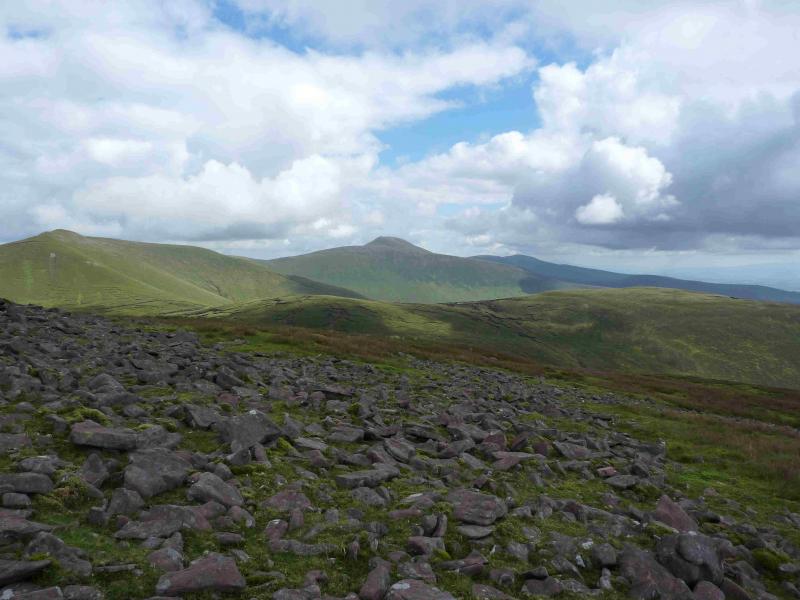
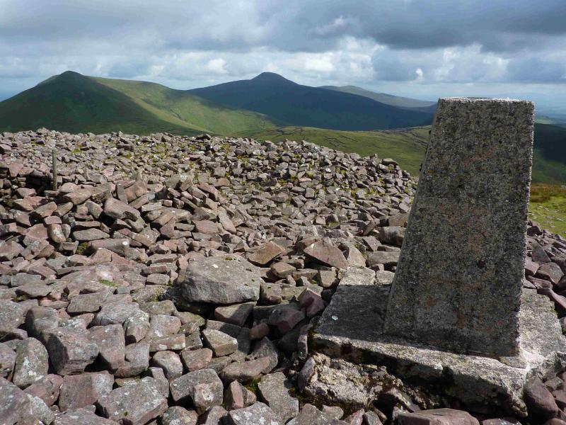
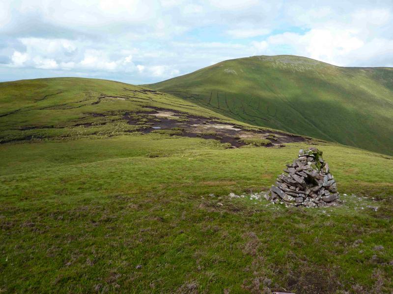
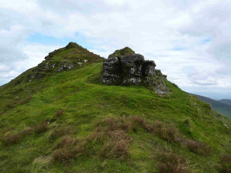
(4) Make a short descent N to a peaty col then follow a faint path up the S ridge of Lyracappul. When almost at the top, drift left to reach the first of the rocky outcrops on its SW ridge. This has some natural stone “benches” for those who need a sit down. Continue the short distance along the crest to reach the medium cairn, shaped a bit like a short wall, which marks the summit of Lyracappul, 825 m.
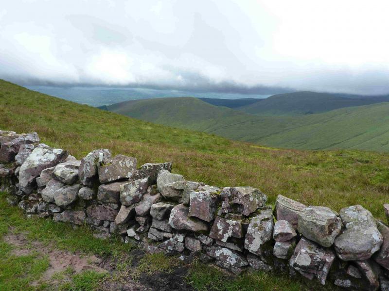
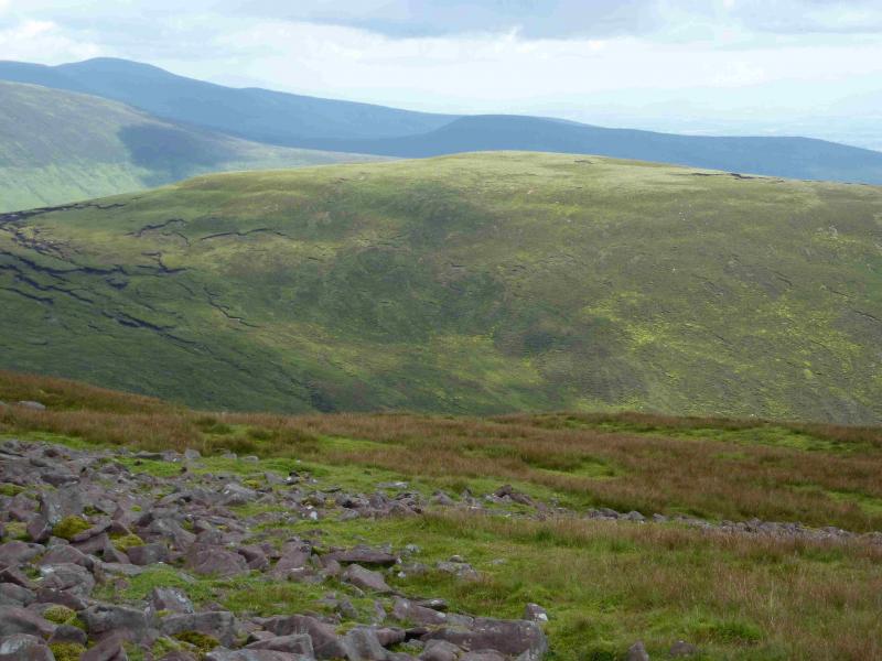
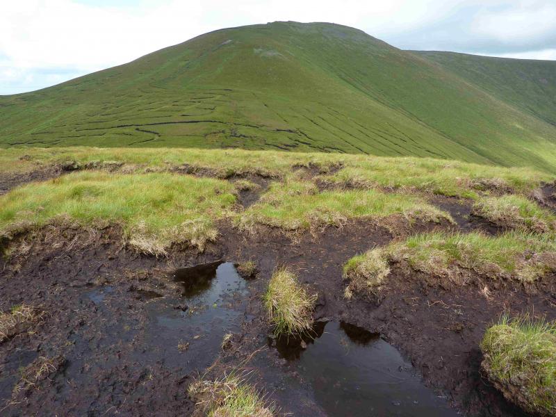
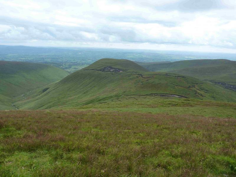
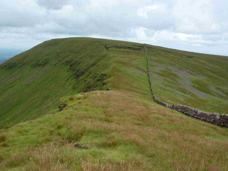
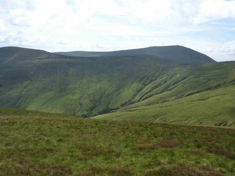
(5) A wall starts at Lyracappul which goes all the way to the lower slopes of Galtymore. Follow the wall towards Carragnabinnia to the NE. There is a path right on the NW edge which avoids the worst of the peat. The wall is set back some way from this edge. After a short descent and an even shorter ascent, reach a grassy plateau which is the summit of Carrignabinnia, 822 m. There is no cairn and it is not obvious where the highest point is.
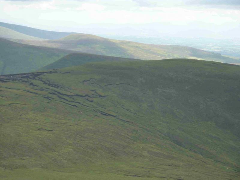
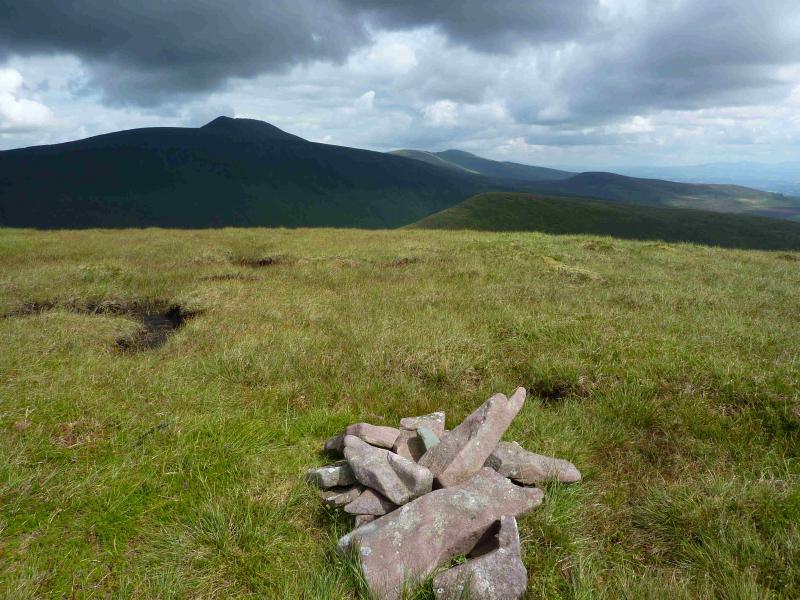
(6) Cross the wall and walk S down easy grassy slopes on a faint path which can easily be lost. There are a few small peat “cliffs” to negotiate. Reach a broad grassy col then ascend easy grassy slopes, SSE, to reach a small grassy plateau where a small cairn marks the summit of Monabrack, 629 m. Note that this is shown, rather vaguely, on the 1995 OS 1:50 000 Map 74 as Carrigeen Mountain. This is the name used by some locals who use the name Monabrack for a more distant hill!
(7) Retrace to the col then walk SW to intercept the path/track shown on the map. This is a disused track and is overgrown in places but it still offers a gentle descent down to the Black Rock River which it crosses at a ford. The track, in no better condition, continues on the other side and makes a gentle rising traverse to meet a slightly better track at roughly where a wall starts. Follow the wall and track down to the bridge by the modern barn then walk back along the outward track to the car.
Notes
(a) This walk took place on 16th August, 2013.
(b) There is a very good camp and caravan site, at Ballinacourty House in the Glen of Aherlow, at R 857 294. It is very close to Clydagh Bridge and signposted from the same staggered crossroads. It is very well laid out with free showers. There is a small campers’ kitchen with 1 table and sink plus a free gas cooker, microwave, fridge and freezer. You may need your own pans. The nearest shop is in the village of Lisvarrinane, about 15 minutes walk. Tipperary, with a Tesco and Lidl, is about 7 miles.
(c) This route is similar to the one in “Best Irish Walks” edited by Joss Lynam. The book route starts at the end of the tarmac road at R 869 197 and a height of about 300 m. However, the first part of that route is now heavily forested and looks no longer possible.
Photos - Hover over photo for caption. Click on to enlarge. Click on again to reduce.