Get Lost Mountaineering
You are here: Ireland » South » Galtymore Mountains & North Tipperary
Greenane, Laghtshanquilla & O'Loughlan's Castle
Greenane, Laghtshanquilla & O'Loughlan's Castle
from near Rossadrehid in the Glen of Aherlow.
Start/Finish
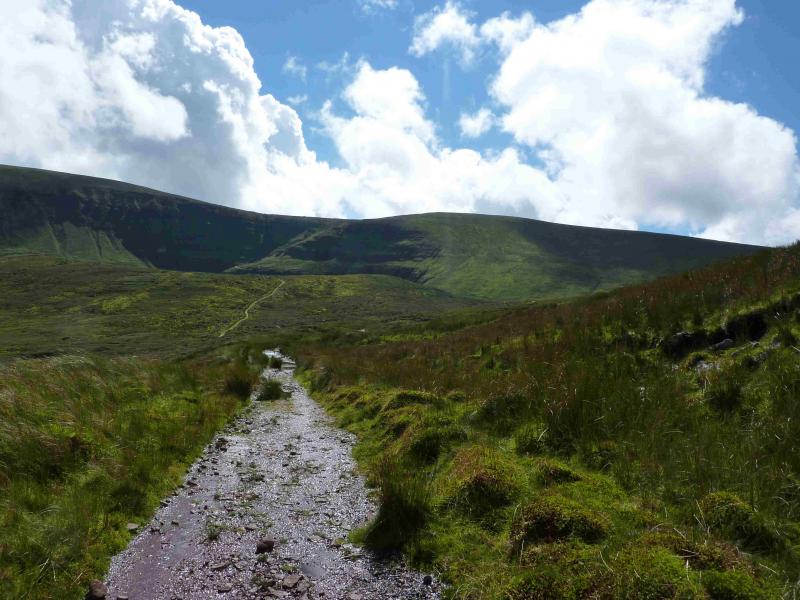
The R 663 is the major road running through the Glen of Aherlow. At a staggered crossroads at R 861 288, about a mile E of the village of Lisvarrinane, turn left, SSE. At next junction, go left, ENE, and follow the minor road E for about 4 miles to the small village of Rossadrehid. Just after the shop on the left is a turning on the right, at R 927 292, which is signposted for Lake Muskry. Follow this road to the car park where there is a notice board and map.
Distance/Time
17 km About 6 hours
Peaks
O'Loughlan's Castle, 786 m, R 910 239. (Irish National Grid System)
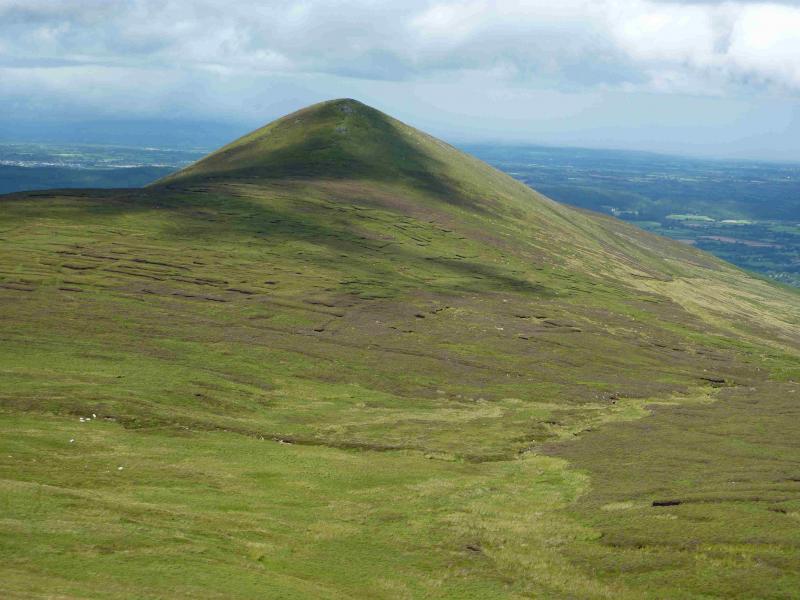
Greenane, 802 m, R 925 239.
Farbreaga, 724 m, R 934 250.
Laghtshanquilla, 631m, R 951 250.
Irish OS Discovery Series Map 74 (1:50000)
Introduction
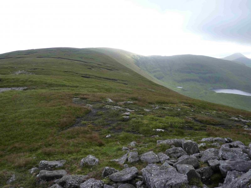
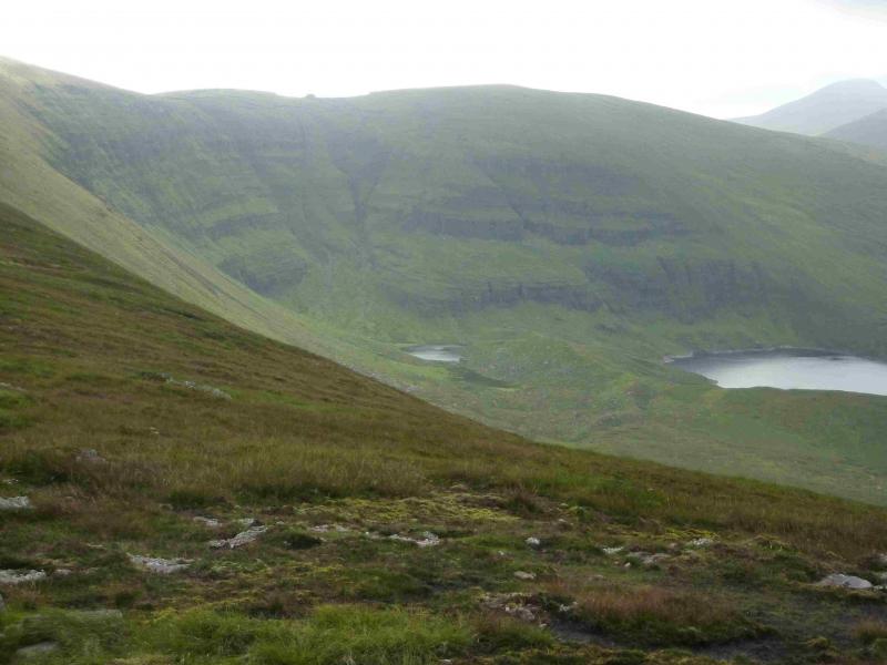
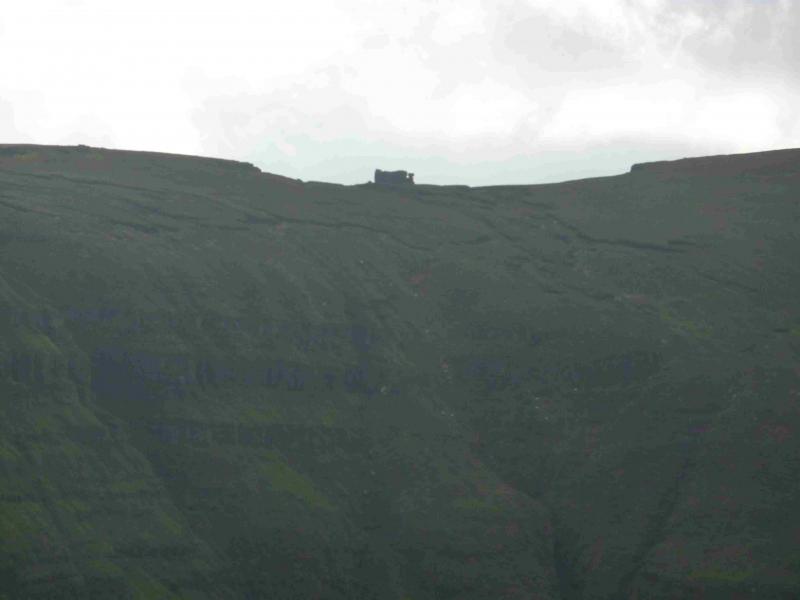
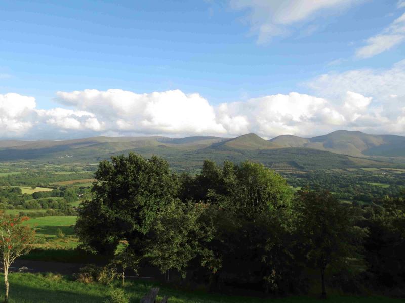
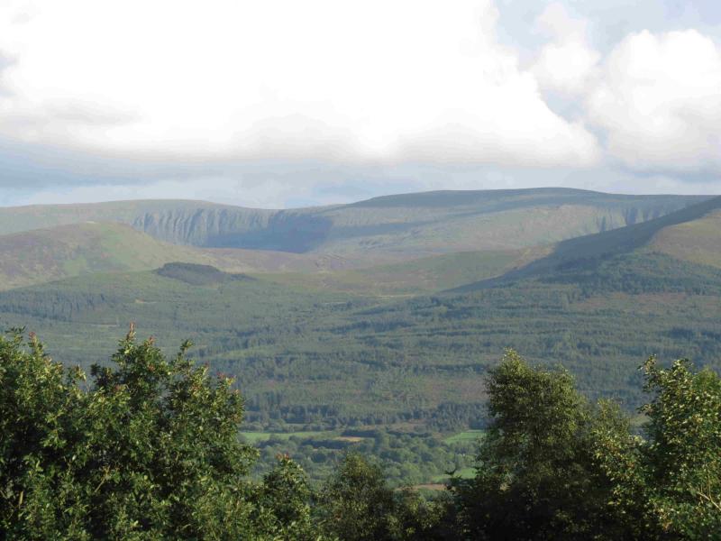
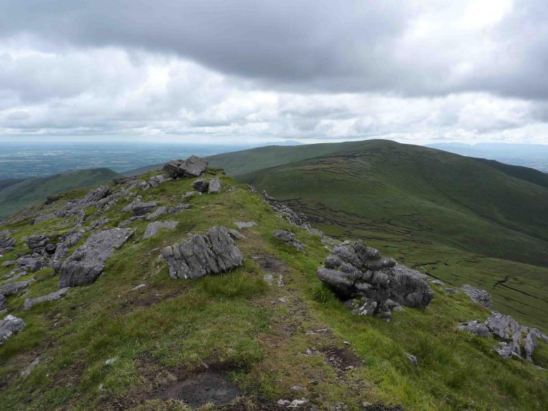
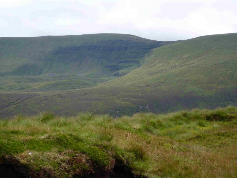
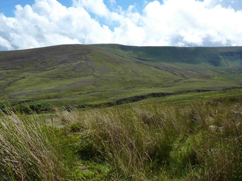
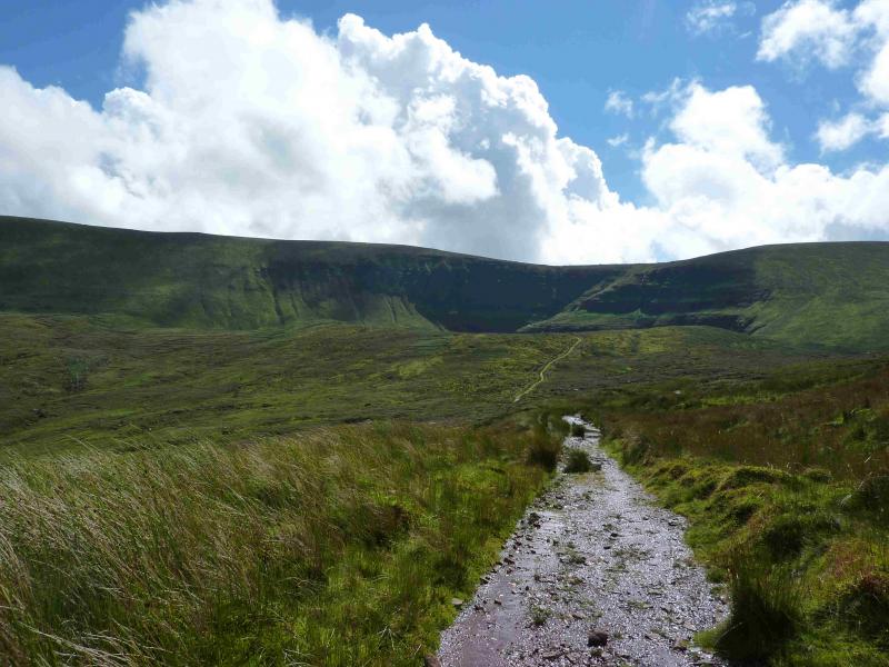
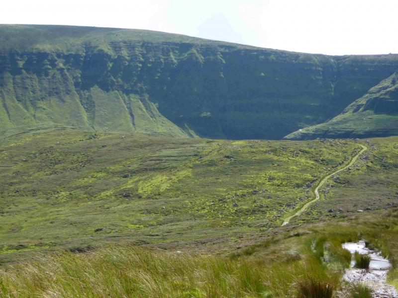
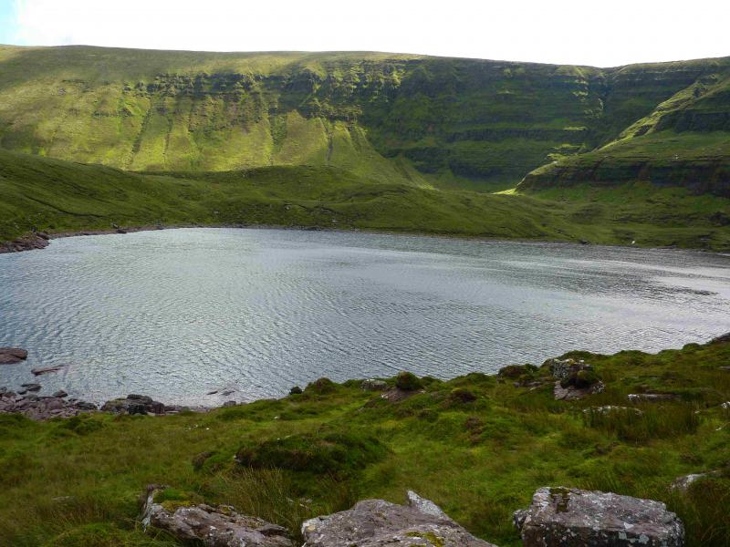
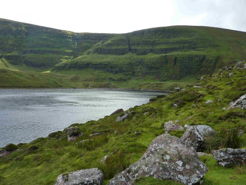
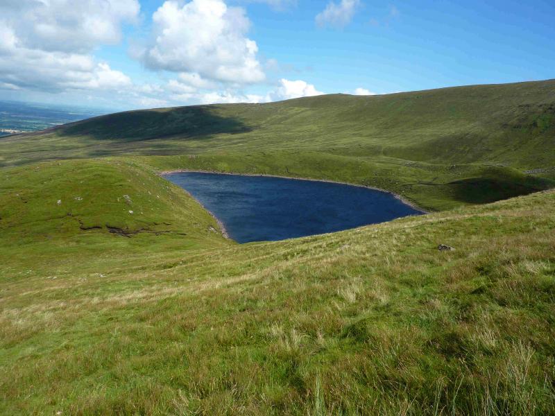
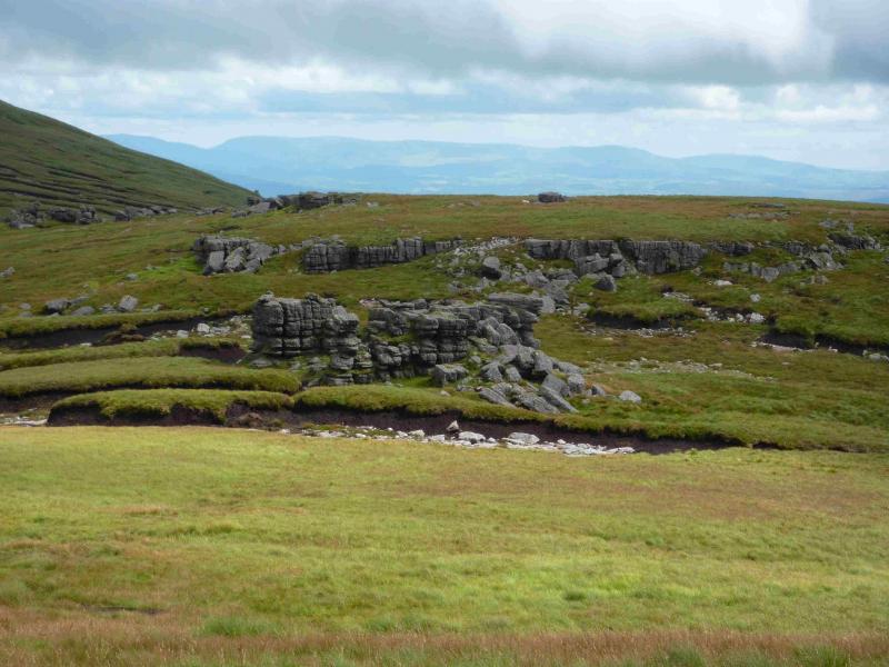
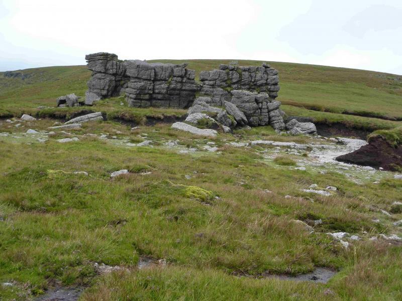
The Galtee are a picturesque range especially when viewed from the Christ the King statue on the R 664 to Tipperary. Navigation is relatively straightforward but if you need to, you should be able to easily reset your GPS to the Irish National Grid System. This walk is to the hills E of Galtymore but, essentially, on the same long ridge. The route also takes in Lake Muskry which has a way marked track all the way to it from the car park although a few sections are quite rough. To visit Laghtshanquilla is a there and back detour and takes about 60 – 75 minutes. This is included in the quoted time for the walk. Other than visiting a top over 610 m, there is little to commend this detour scenically. Behind Lake Muskry are impressive cliffs of exposed strata. The most interesting part of the walk is O' Loughlan's Castle. This is an impressive free standing piece of rock which resembles a building and gives its name to the hill to the immediate west.
Route
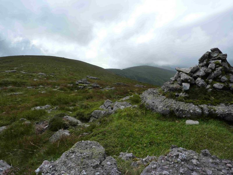
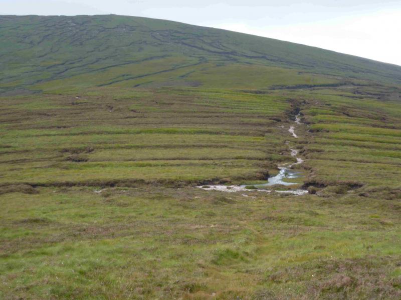
(1) Follow the way marked posts through the forest to reach the open hill through a gate and stile. Almost immediately, the main track turns right and continues, finishing with a steep climb visible from a long way back, just before reaching Lake Muskry where it is worth lingering a while. Walk back to the last way marked post then contour around the western side of the lake and pick a way up the moderately steep, but mainly grassy, slopes keeping well to the right of the crags above the lake. Once the angle eases, gain the wide summit plateau where a small cairn marks the summit of O'Loughlan's Castle, 786 m.
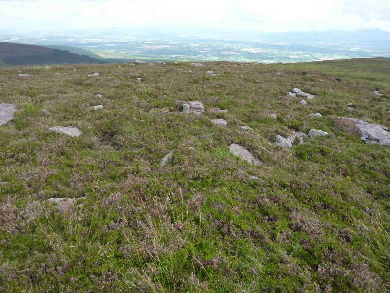
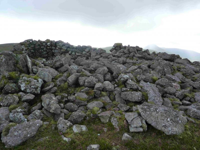
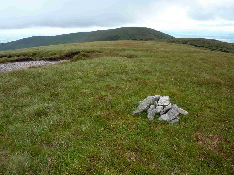
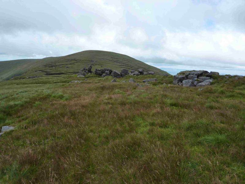
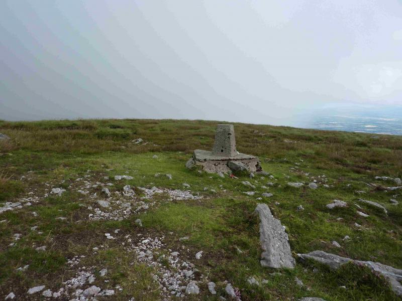
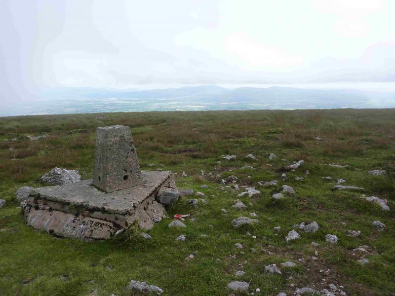
(2) Descend gentle slopes E then SE to reach the rock called O'Loughlan's Castle in a shallow peaty gap. There are other interesting rocks around. Continue E, up easy slopes, to reach the economy sized trig point which marks the summit of Greenane, 802 m. There is no cairn.
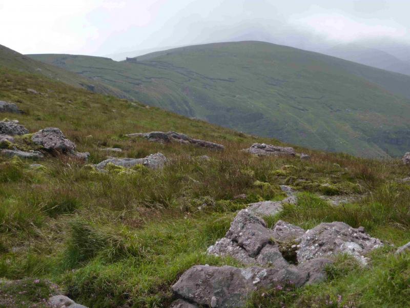
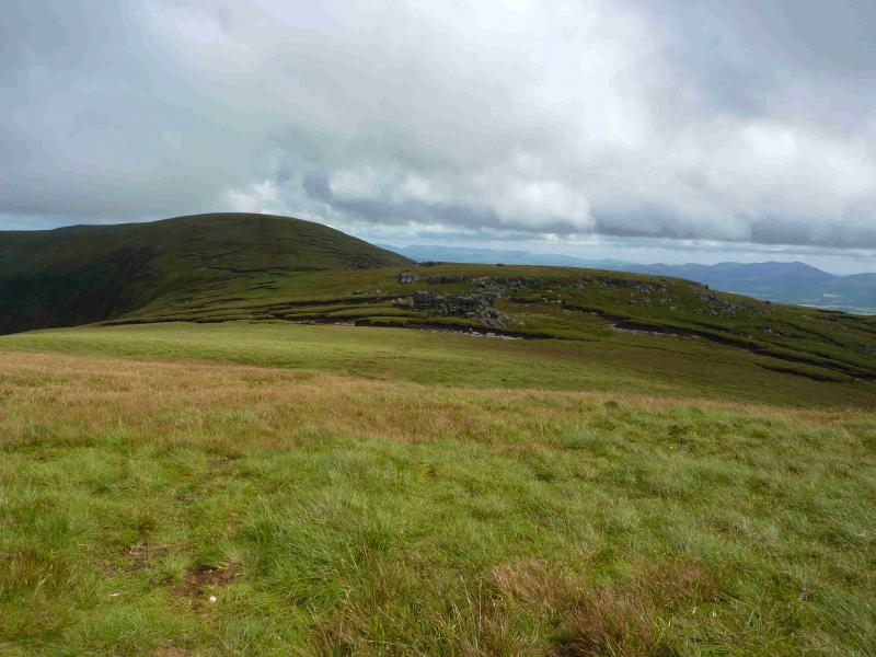
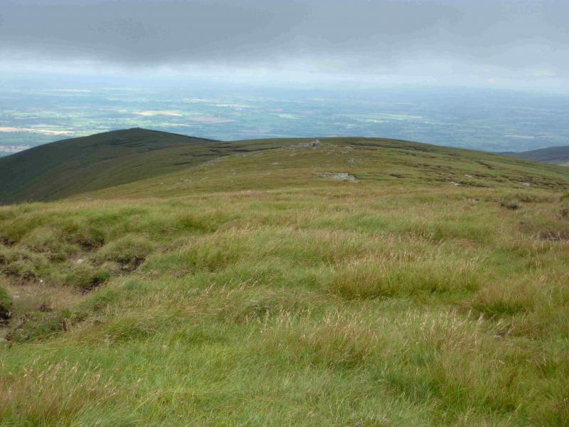
(3) Descend gentle, but peaty slopes, heading NE then NNE on a broad ridge to reach the large cairn which marks the summit of Farbreaga, 724 m. This is, by far, the largest cairn of the route and offers some shelter.
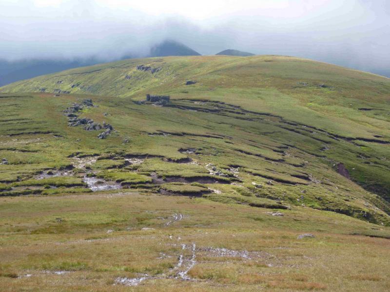
(4) Descend almost due E, down gentle grassy and peaty slopes. There is a path, but it is faint in places, which misses out the worst of the peat. Reach a wide peaty col then follow the path up to the small grassy plateau of Laghtshanquilla, 631m. There is no cairn and no really obvious high point.
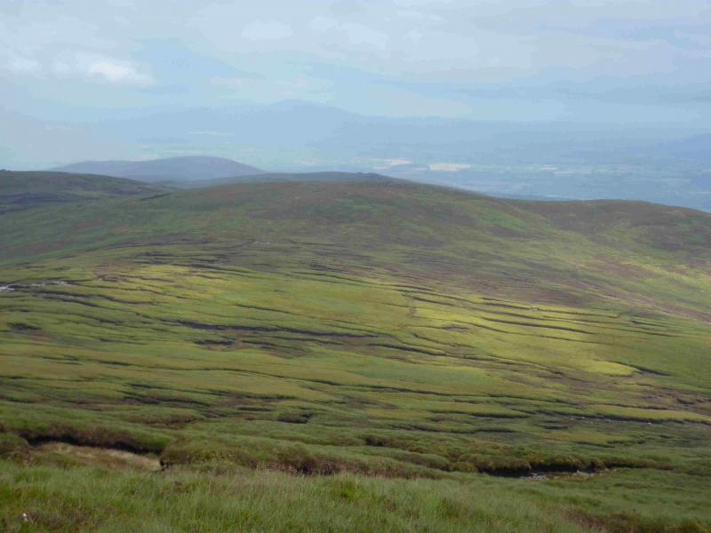
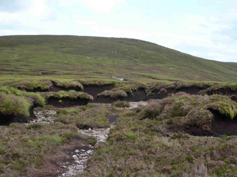
(5) Retrace to Farbreaga then walk roughly NW, down mainly grassy slopes, to cross the main river. Once across, walk down the bank to the gate into the forest or trend to the line of white posts which is a track back to the gate. Walk down the main track back to the car park. Other descents (not checked out) are possible. One can head down to Lake Muskry then follow the outward track or follow the natural ridge from Farbreaga and descend just before the gate. Consider the state of the streams when making the decision about how to descend. Crossing the main river too high can mean negotiating a deep cutting. Crossing too low could mean a more lively river which might be difficult to cross. The slopes are not difficult anywhere.
Notes
(a) This walk took place on 17th August, 2013.
(b) There is a very good camp and caravan site, at Ballinacourty House in the Glen of Aherlow, at R 857 294. It is very close to Clydagh Bridge and signposted from the same staggered crossroads. It is very well laid out with free showers. There is a small campers’ kitchen with 1 table and sink plus a free gas cooker, microwave, fridge and freezer. You may need your own pans. The nearest shop is in the village of Lisvarrinane, about 15 minutes walk. Tipperary, with a Tesco and Lidl, is about 7 miles.
Photos - Hover over photo for caption. Click on to enlarge. Click on again to reduce.

 from Greenane.jpg)