Get Lost Mountaineering
You are here: Ireland » South » Waterford, Kilkenny & Carlow
Sugarloaf Hill, Knockmealdown & Knocknafallia
Sugarloaf Hill, Knockmealdown & Knocknafallia from the Vee Gap
Start/Finish
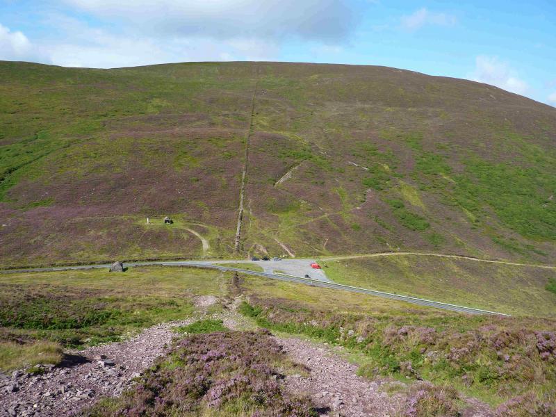
The car park in the Vee Gap just before the statue and the two stone huts (one either side of the road). This is the car park after the one opposite Bay Lough. From Caher (Cahir) to the N, take the R668 road to Clogheen then take the turning for the Vee Gap. Follow this road up to the Vee, a hairpin bend, then after the road turns left, park in the second car park.
Distance/Time
17 km About 7 hours
Peaks
Sugarloaf Hill, 663 m, S 039 104. (Irish National Grid System)
Knockshane, 768 m, S 058 093.
Knockmealdown, 794 m, S 058 084.
Knocknagnauv, 655 m, S 081 083.
Knocknafallia, 668 m, 090 075. Irish OS Discovery Series Map 74 (1:50000)
Introduction
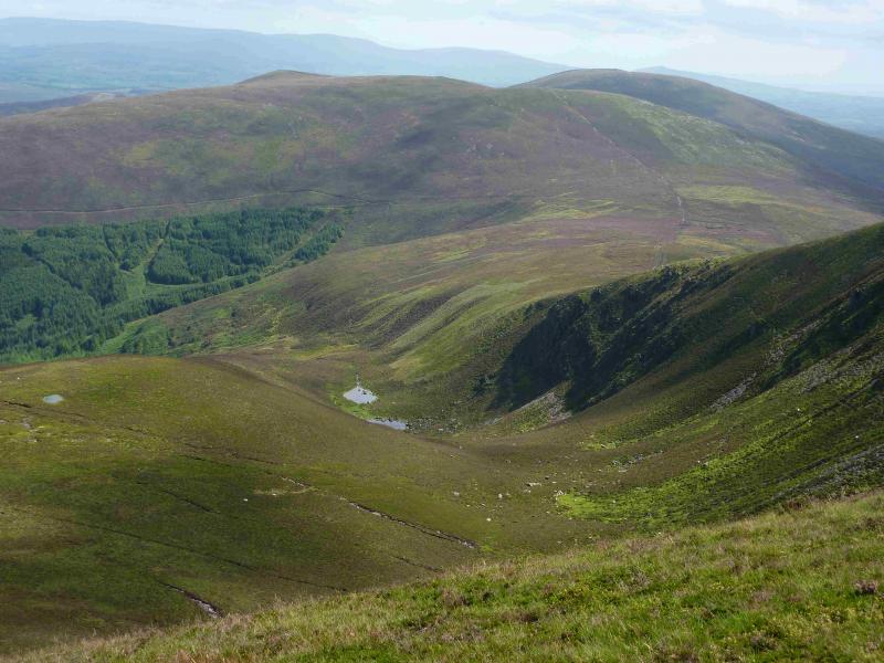
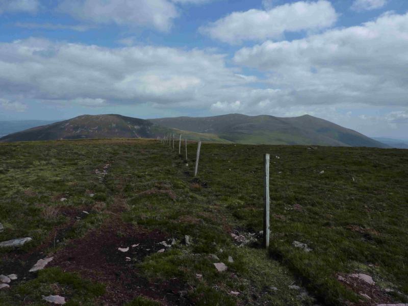
The Vee Gap is a popular place and many park then walk to Bay Lough. The hills are rugged and heathery but there are good paths to ease access. Sugarloaf Hill does not have the sugarloaf shape of, say, Suilven, but is still a fine hill. The hills for this walk do not make for a circular route so some retracing is necessary if one cannot arrange two cars. It is actually quicker and much shorter to reascend Knockmealdown than descend to the road. Much of the route runs alongside a low grassy embankment/wall. Unusually, there are no peat hags on this walk.
Route
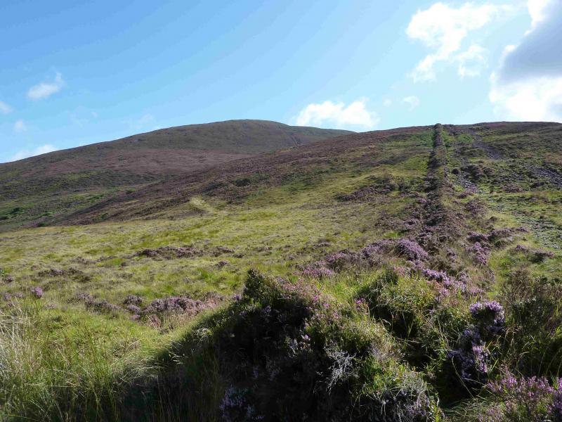
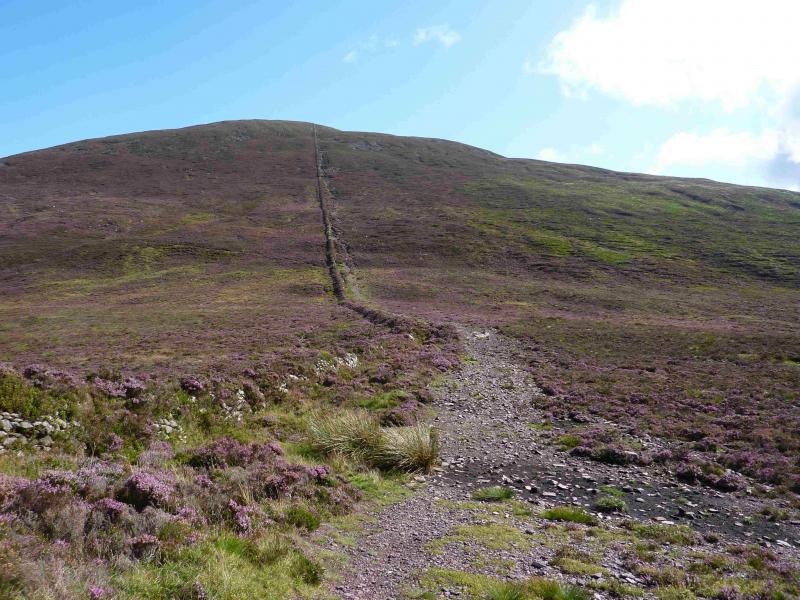
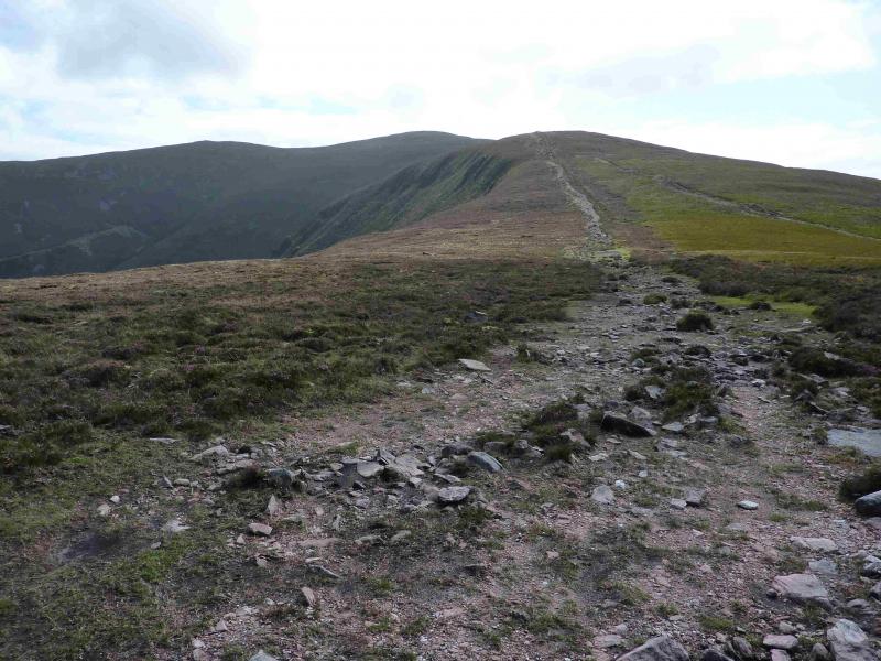
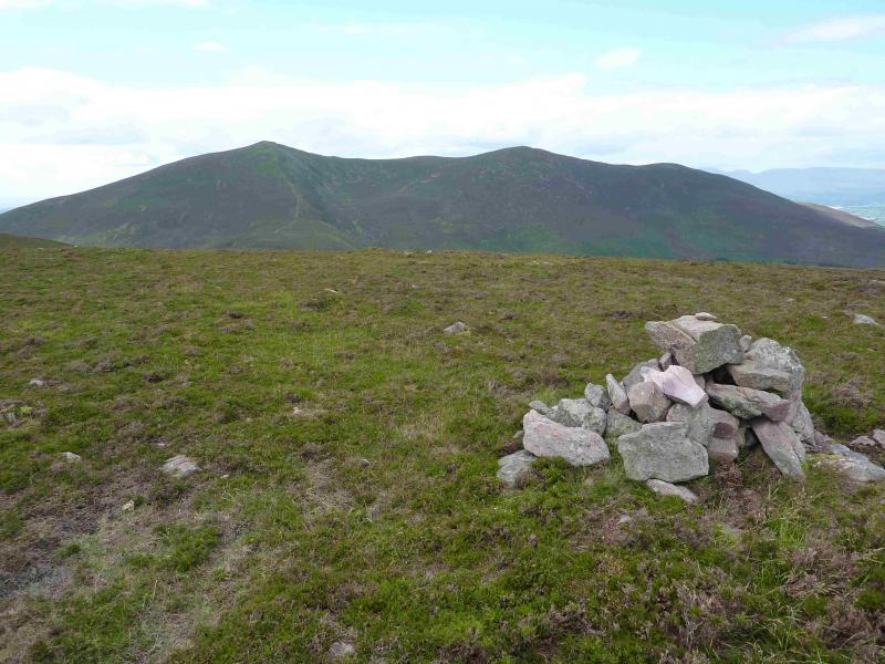
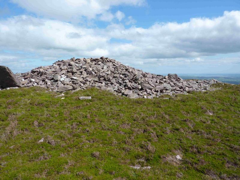
(1) Ascend the obvious wide stony path opposite the car park entrance which has a wall on its left. This ascends, levels out then climbs more steeply to reach the large cairn which marks the summit of Sugarloaf Hill, 663 m.
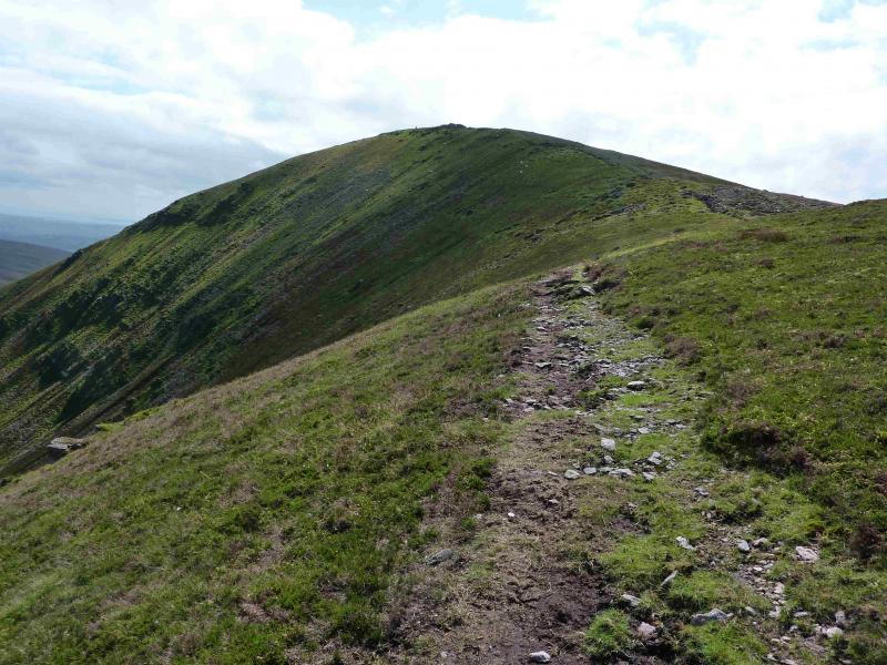
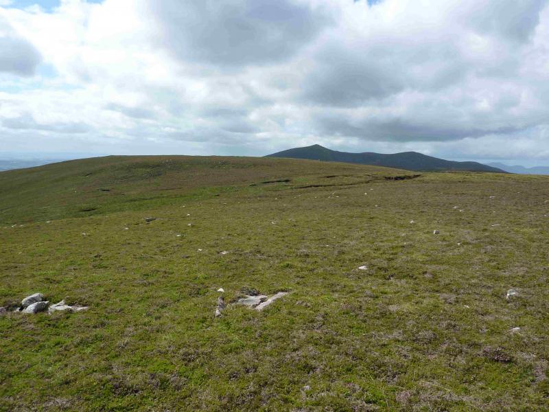
(2) Descend SSE, on an obvious path, to reach a broad col. The path continues up the other side. When it reaches a cairn on a minor top at about S 054 091, leave the main path and walk NE across a very shallow dip followed by a short ascent – there is a faint path – to reach the large cairn which marks the summit of Knockshane, 768 m.
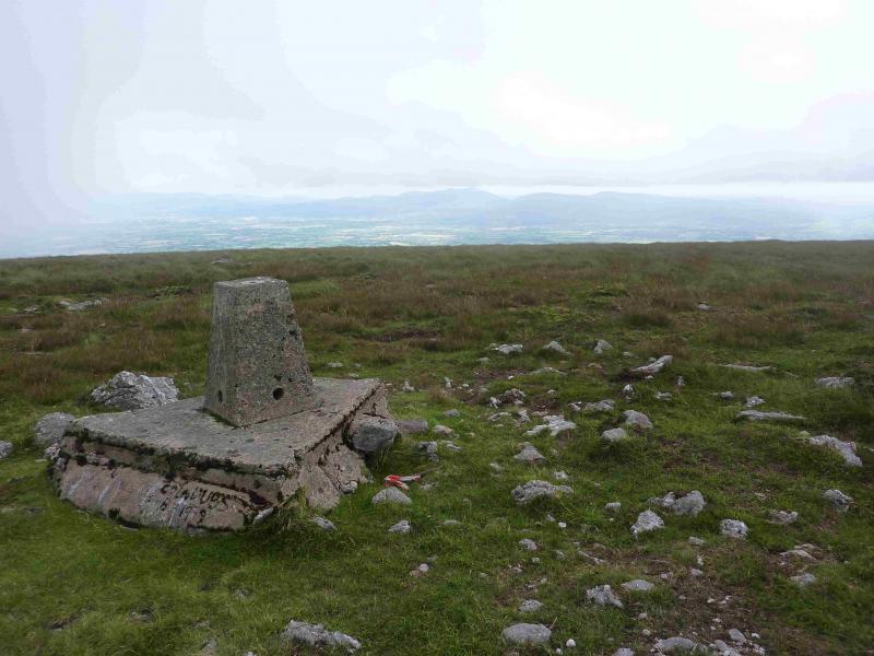
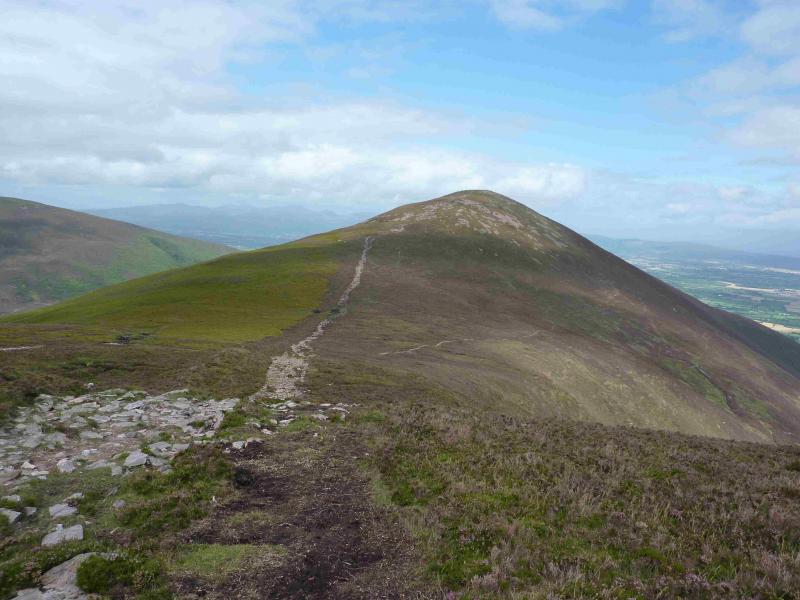
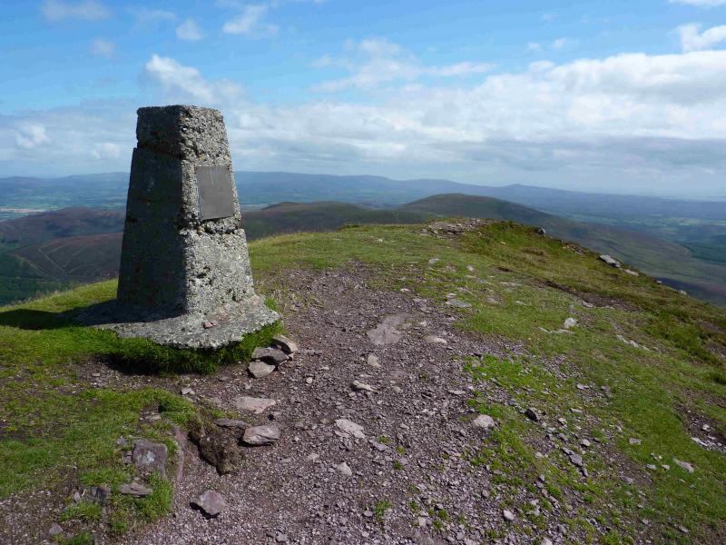
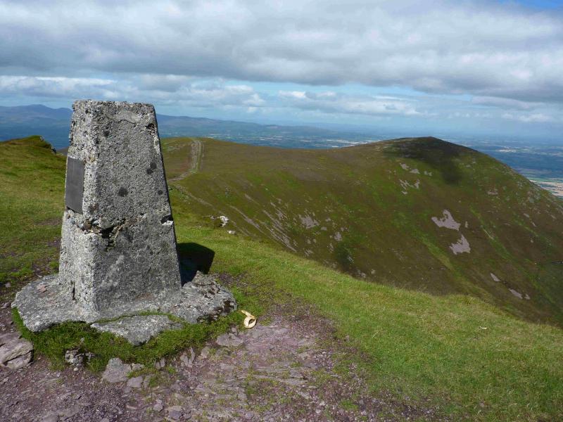
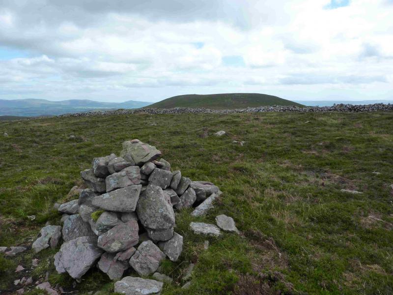
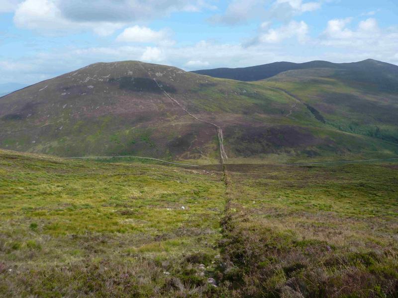
(3) Either retrace to the cairn then rejoin the main path and follow it up or, better still, walk around the lip of the steep grassy corrie on a distinct path which eventually rejoins the major path and soon reaches the trig point which marks the summit of Knockmealdown, 794 m. There is no cairn.
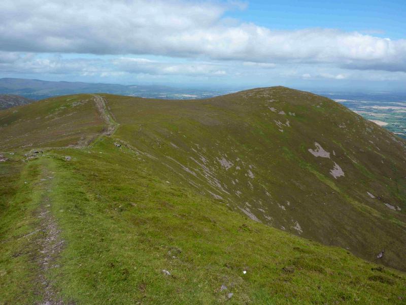
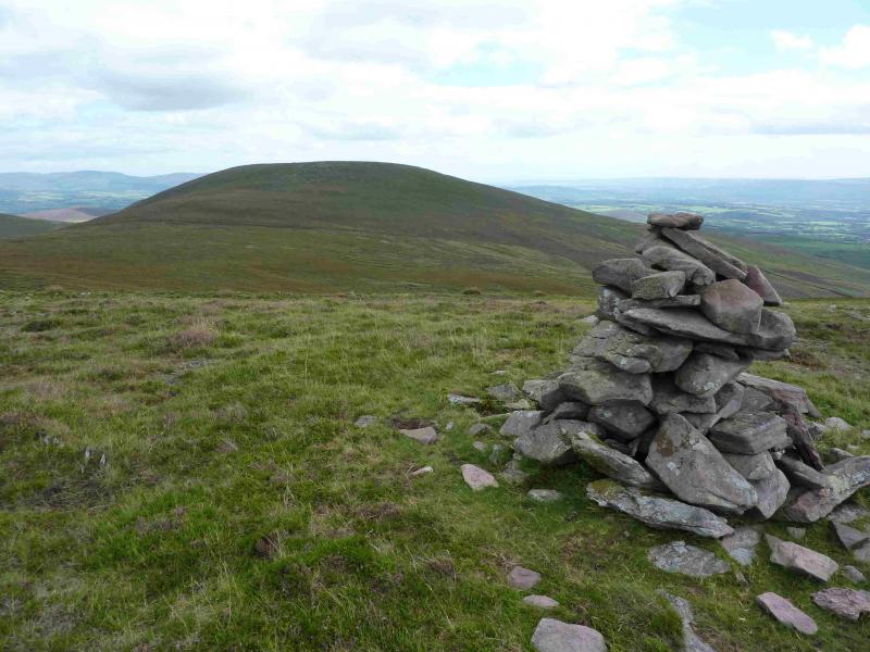
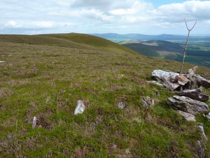
(4) Descend the steep E ridge, still following the embankment/wall to reach a broad col. The path continues up the other side to reach the summit ridge of Knocknagnauv, 655 m. There are two medium cairns: one to the SW and one to the NE. Both are near to the path but the NE one seems to be the higher.
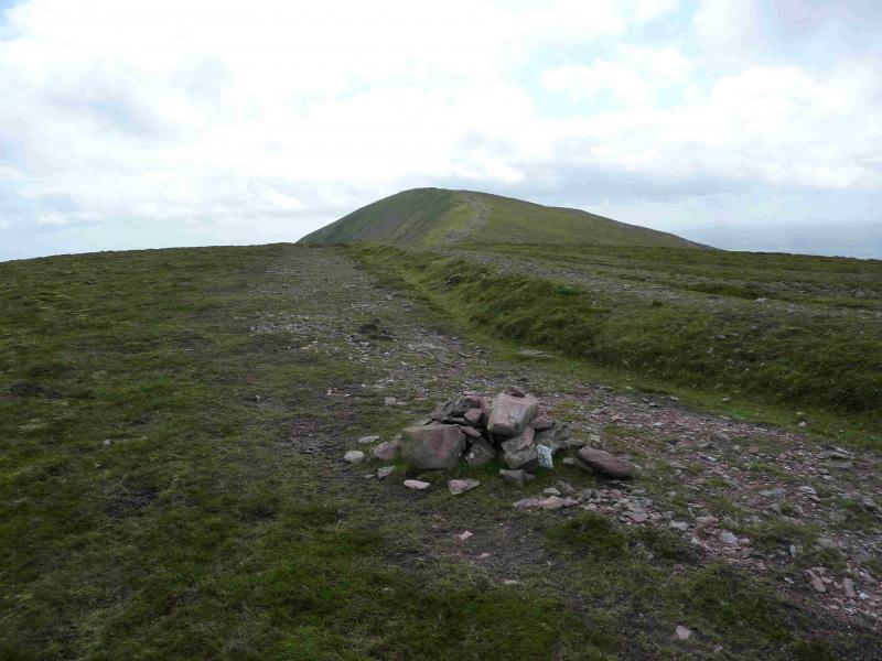
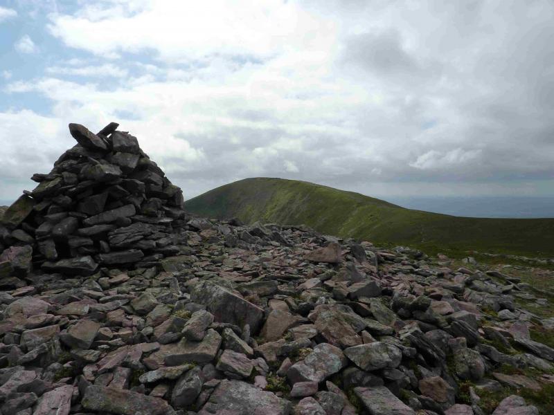
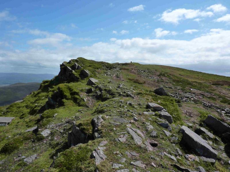
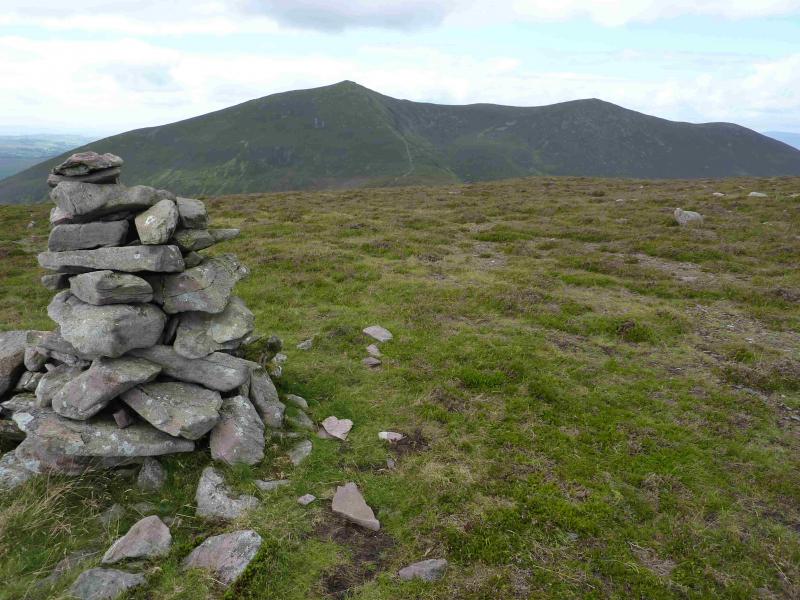
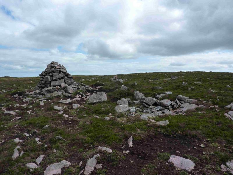
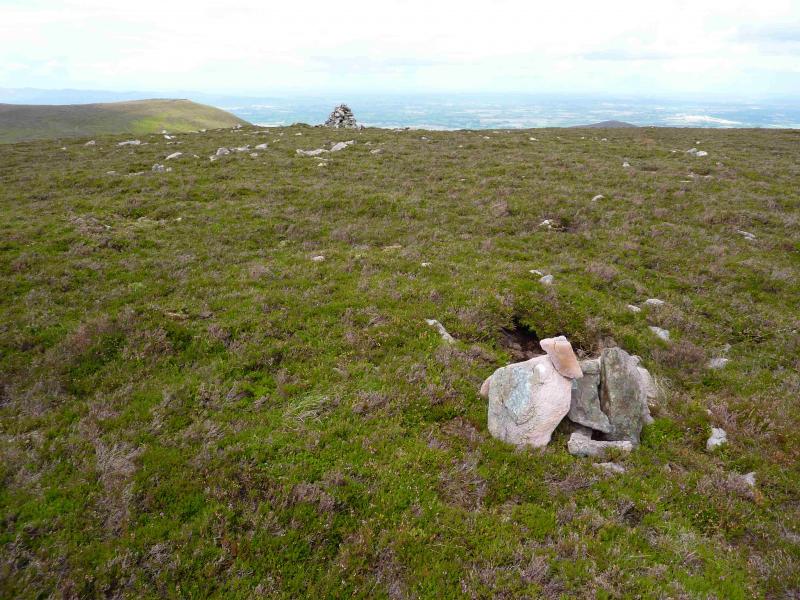
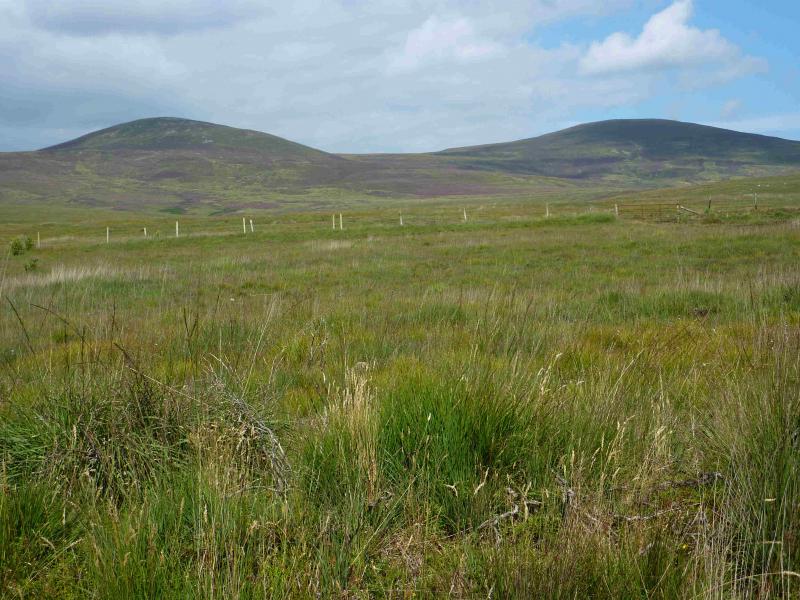
(5) The embankment/wall now goes N so walk SE from Knocknagnauv across a broad and shallow col. It is difficult to locate a path until one starts climbing out of the col when a path is very obvious. Ascend to the summit plateau of Knocknafallia, 668 m where there are four cairns! The path takes one to a large cairn which is clearly not the summit. About 30 m to the SE is a very small cairn and about a 100m+ further is a small cairn which, again, is clearly not the summit. About 500 m due E of the large cairn, across an almost indiscernible gap is a massive shelter cairn. The prudent walker will visit all four cairns just to be sure of visiting the summit but, in the author's opinion, the very small cairn is the true summit although he would not bet his house on it!!!
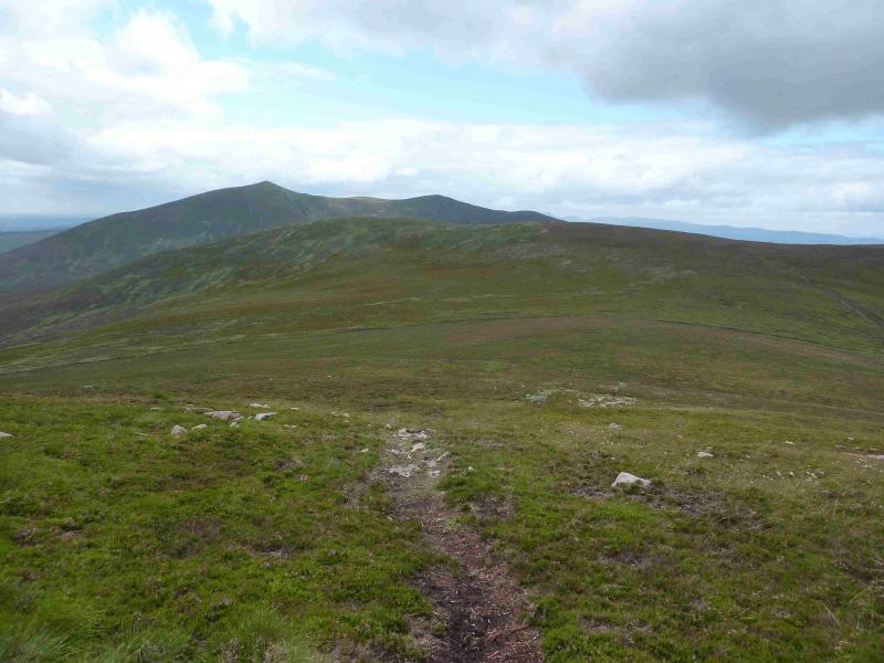
(6) Retrace all the way back to the top of Knockmealdown with all the effort that entails. Follow the major path down towards the Sugarloaf Hill col. There is a wide path/track on both sides of the embankment/wall. Keep an eye on the left hand one on the W side. This goes off left before the col, soon becoming an ATV track. Follow it down making sure you are to the W of Glennandaree Stream. The ATV track goes all the way to road and car park at Glentanagree Bridge but there is no need to follow it all the way down as another track goes off right which can be followed to the level section of the outward path up Sugarloaf Hill from where one can easily descend back to the car park. In clear weather, one can save some walking by crossing the open hillside from one track to the other.
Notes
(a) This walk took place on 18th August, 2013.
(b) There is a very good camp and caravan site, at Ballinacourty House in the Glen of Aherlow, at R 857 294. It is very close to Clydagh Bridge and signposted from the same staggered crossroads. It is very well laid out with free showers. There is a small campers’ kitchen with 1 table and sink plus a free gas cooker, microwave, fridge and freezer. You may need your own pans. The nearest shop is in the village of Lisvarrinane, about 15 minutes walk. Tipperary, with a Tesco and Lidl, is about 7 miles.
Photos - Hover over photo for caption. Click on to enlarge. Click on again to reduce.