Get Lost Mountaineering
You are here: Ireland » East » Wicklow Mountains
Ludnaquilla via Fraughan Rock Glen, Ludnaquilla N Ridge & Clohernagh East Ridge from Glenmalure
Ludnaquilla via Fraughan Rock Glen, Ludnaquilla N Ridge, Clohernagh North East Ridge & Arts Loughfrom Glenmalur
Start/Finish
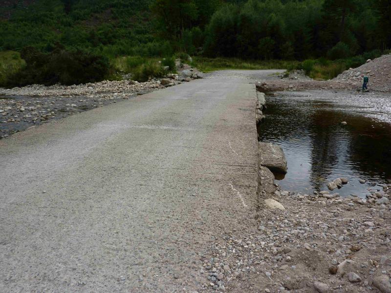
The car park at end of tarmac road (just before concrete ford) in Glenmalur at T 066 942. This can be reached from the village of Donard in about an hour on minor roads. Donard is a good base for the Wicklow Mountains and it is signposted off the N 81 road between Blessington and Baltinglass. Donard has a lovely camp site (see notes below) if you are not in a rush and can stay a few days. If driving from Donard, then take the road opposite Toomey's Bar and follow it to the crossroads – it bends right on the way at a junction – where the Glen of Imaal Stores is located and where you can buy sandwiches, etc. Take the road opposite the stores and follow it, going left at every junction until you are in Glenmalur. The return drive can be via the Wicklow Gap road which takes you through Hollywood!
Distance/Time
13 km About 6 hours
Peaks
Ludnaquilla, 925 m, T 032 917. (Irish National Grid System)
Irish OS Discovery Series Map 56 (1:50000)
Introduction
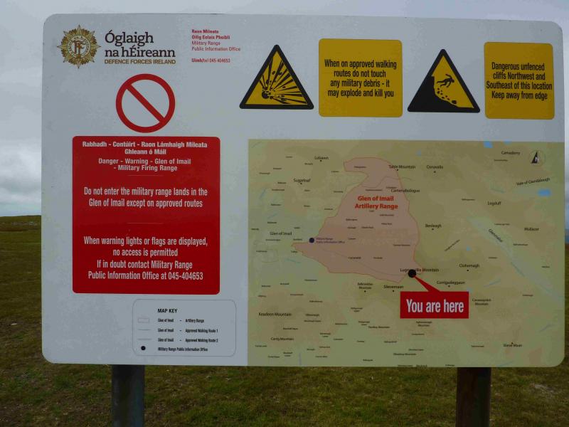
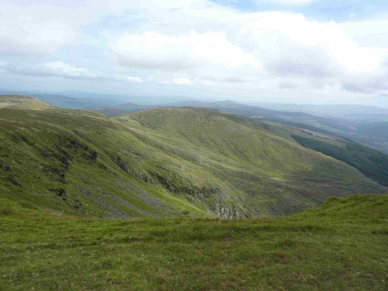
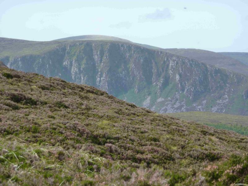
Ludnaquilla is the only “Munro” in the east of Ireland and, obviously, the highest peak in the Wicklow Mountains. It throws out long ridges in all directions and has at least 10 subsidiary tops above 610 m. This route does not enter the Glen of Imaal firing range so there is no need to check with the army before setting out. The summit plateau is rather featureless, apart from the cairn, so care will be needed in mist. You should be able to easily reset your GPS to the Irish National Grid System. This is not a route for the inexperienced or families with young children. The return crosses the river by a ford which could be checked on the outward walk if there is concern about river levels.
Route
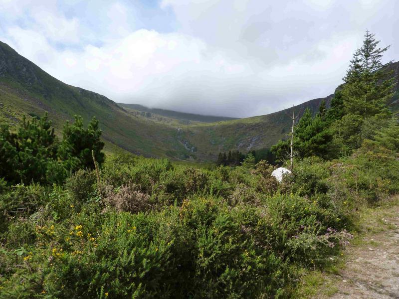
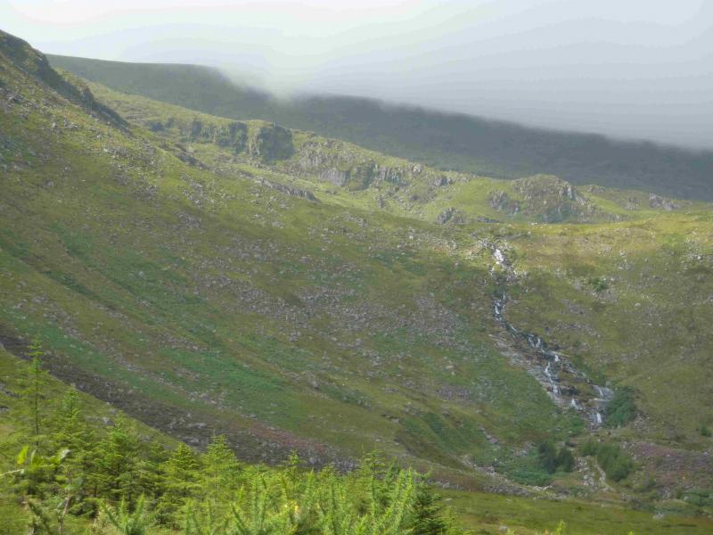
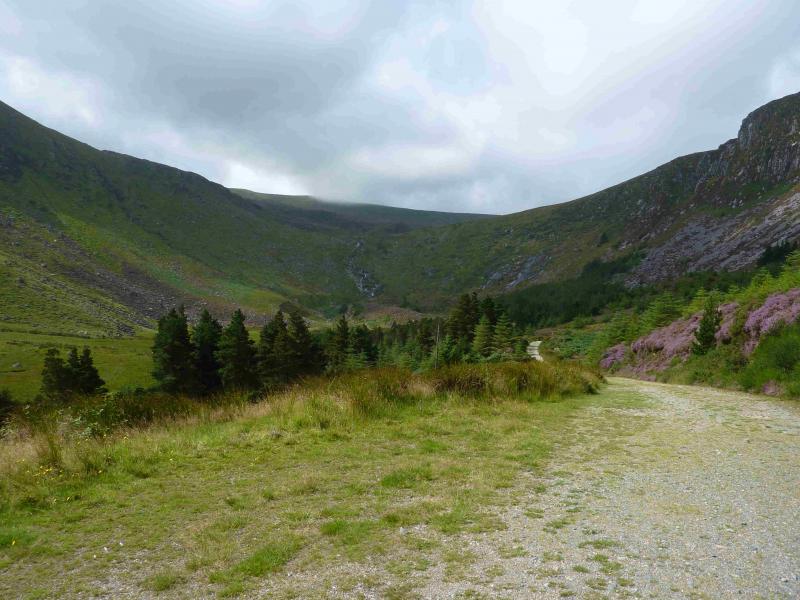
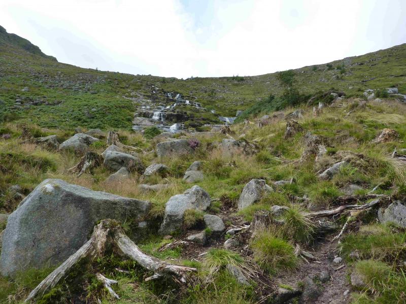
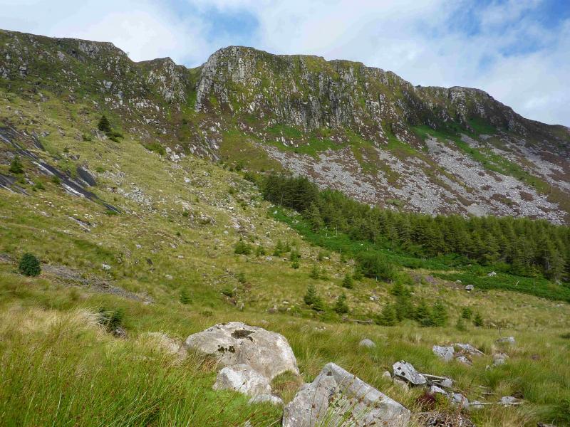
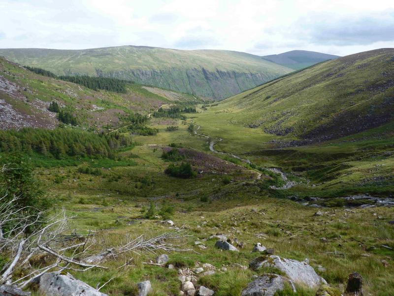
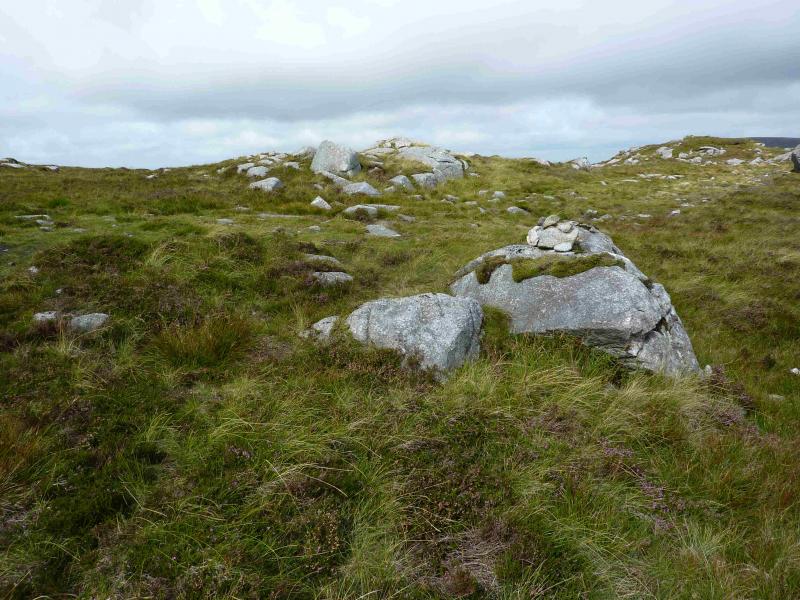
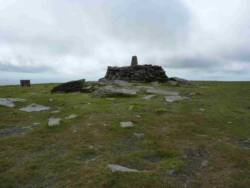
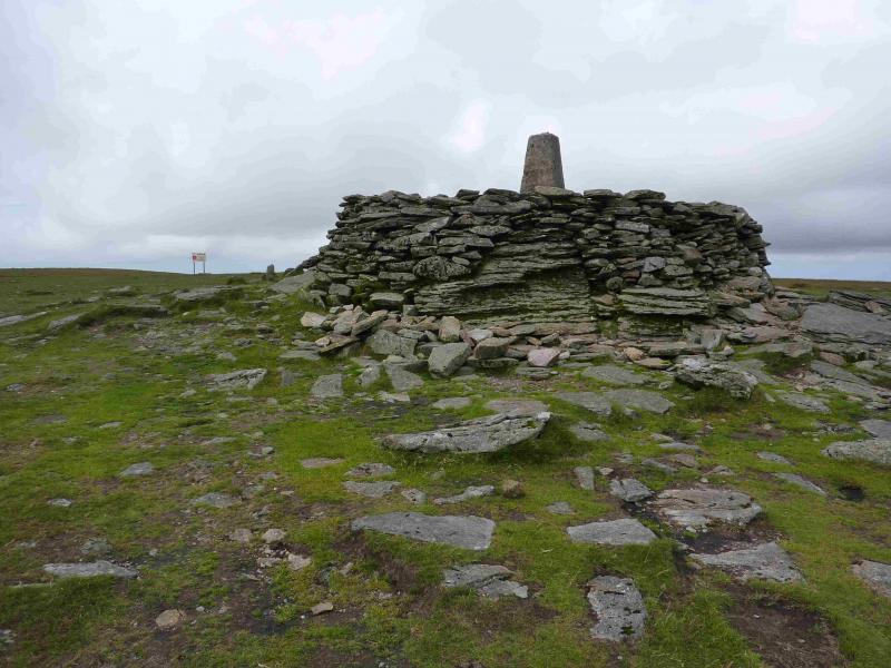
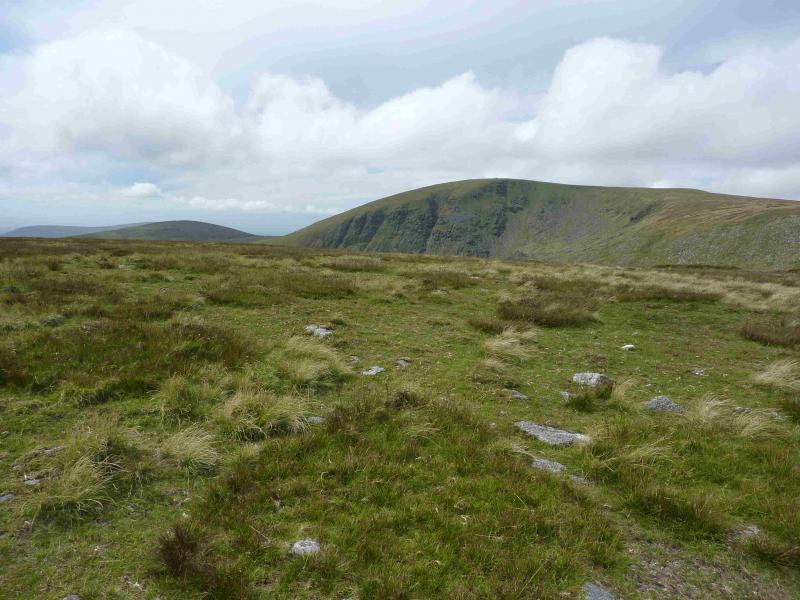
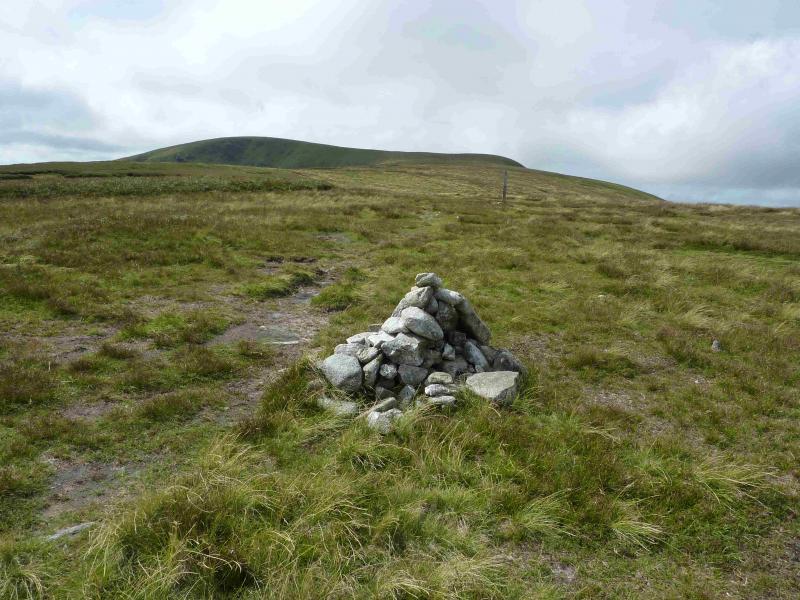
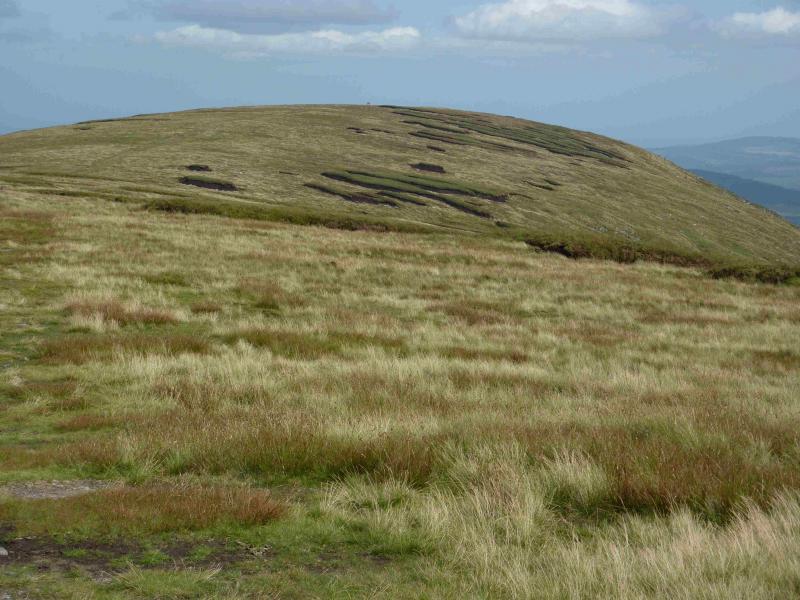
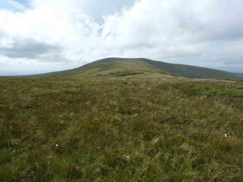
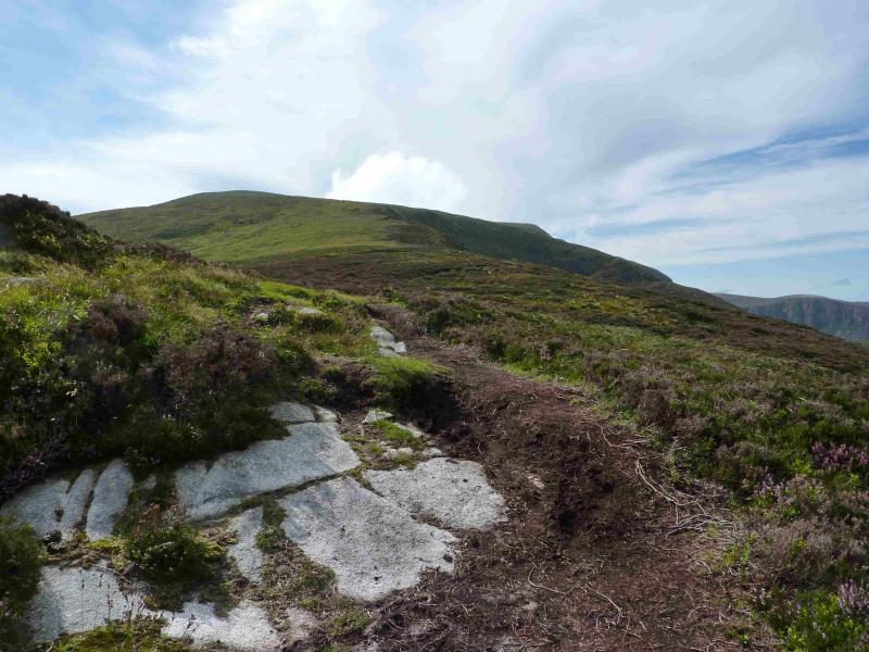
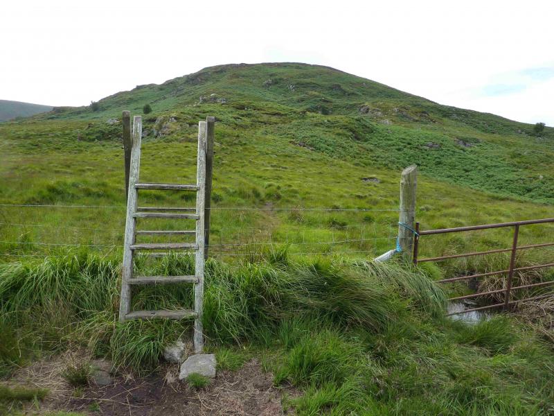
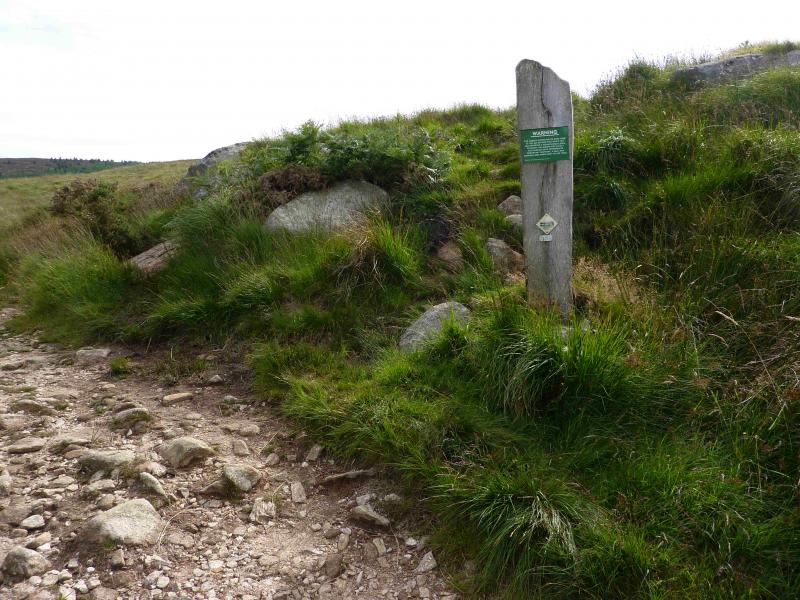
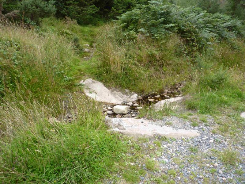
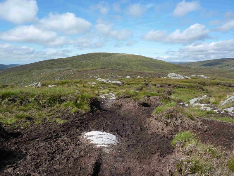
(1) From the car park, cross the ford and walk NW up the track for a short distance until just past the footbridge. On the left is the start of a path which can be taken. The going is easy to begin and soon passes an old ruin but then is somewhat overgrown with heather, gorse, brambles and ferns! It was just about passable on 21/8/13 but will soon become too difficult. There seems to be two junctions on the path but it is difficult to tell. At the first go left and contour for a short distance, at the second go right, uphill. After 10 – 15 minutes the path emerges on the track which leaves the main glen track at a T junction past the youth hostel. This could be used as a longer but easier alternative. Follow the track up and out of the forest, ignoring any side tracks. At a junction, a forest track goes right and a rough track forks left. The rough track leads to the ford on the return walk so you might want to check it out. Continue ahead on the main track. Once out of the forest, the track gradually deteriorates to a path and heads for an obvious waterfall at the head of the glen. Cross the stream at the bottom of the waterfall near to the sign banning dogs. This is slightly awkward as the stream is rough and bouldery. An easier route goes up the right hand side of this waterfall so one could cross the stream at the top of the waterfall once the stream has levelled out. Follow the path, with the stream on your right. It is faint in places and the ground can be wet and boggy. The aim is about 11 o'clock from the top of the waterfall which will eventually lead one to a small cliff with a quartzite vein about a third of the way along from the right. To the left of the cliff is a steep gully. Head for this. Pick a way carefully through the rocks at its foot then pick a way up. The gully is steep, stony, loose, eroded and slippery when wet. Emerge on to grass at the top where a path soon runs out when it meets a lush grassy strip running from right (down) to left (up). One can either drift left and walk up an easy angled ridge or continue then climb up steep grassy slopes. Both alternatives emerge on the Ludnaquilla to Clohernagh ridge. Turn right and walk up the ridge to the very large cairn on top of which stands the trig point which marks the summit of Ludnaquilla, 925 m. The cairn is large enough to provide shelter from any wind direction.
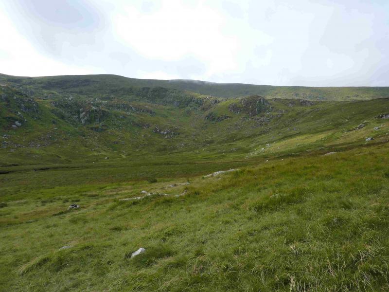
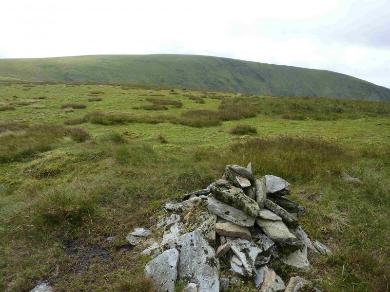
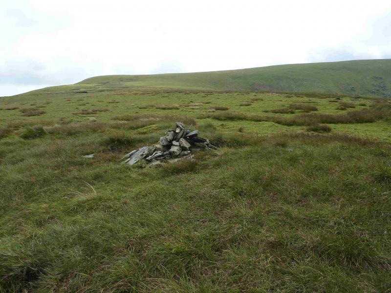
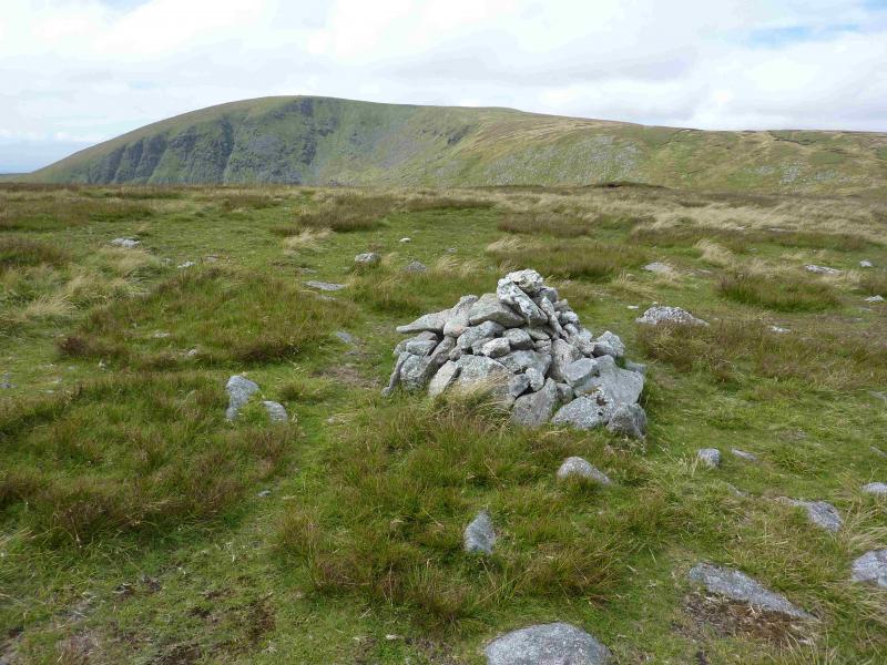
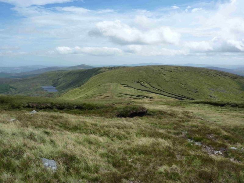
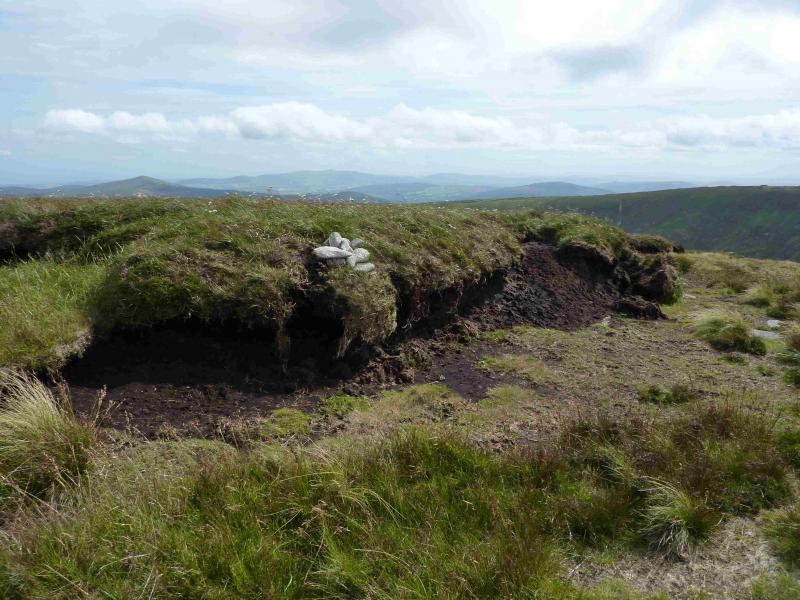
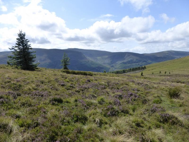
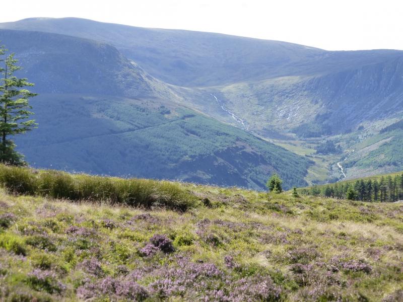
(2) Retrace back towards Clohernagh and reach the summit plateau. About 40 m before the cairn on the peat hag on the right, there is a small cairn on the left of the path. This indicates the start of the path to Art's Lough. The path is faint initially but soon leads to a small white cairn on a peat hag. The path goes down the left of this peat hag and down the left of the next peat hag encountered. If it is clear, another small white cairn will be seen about 400 m ahead. The path goes here then, much more defined, descends towards Art's Lough. The path passes to the right of the Lough and there are some stiles over the fence to the right. The forest plantation is also very obvious. Follow the path past the stiles and follow the fence which goes downhill towards the Fraughan Rock Glen with the plantation on your right. The path is quite well defined for most of the way down but then peters out. Continue down easy grassy slopes. When a modern fence is seen, drift left to go through an old gateway and pick up a faint path/track which leads to a ford over the river and then back to the outward track
Notes
(a) This walk took place on 25th August, 2013.
(b) If considering an alternative descent to the Glen of Imaal (two cars will be needed) check with the Army Office in the Glen of Imaal that no firing is taking place on the artillery range or you might get your head blown off!
(c) Unless you know the area around Art's Lough well, you could waste a lot of time, in rough heather, looking for the way back through the plantation using the forestry track.
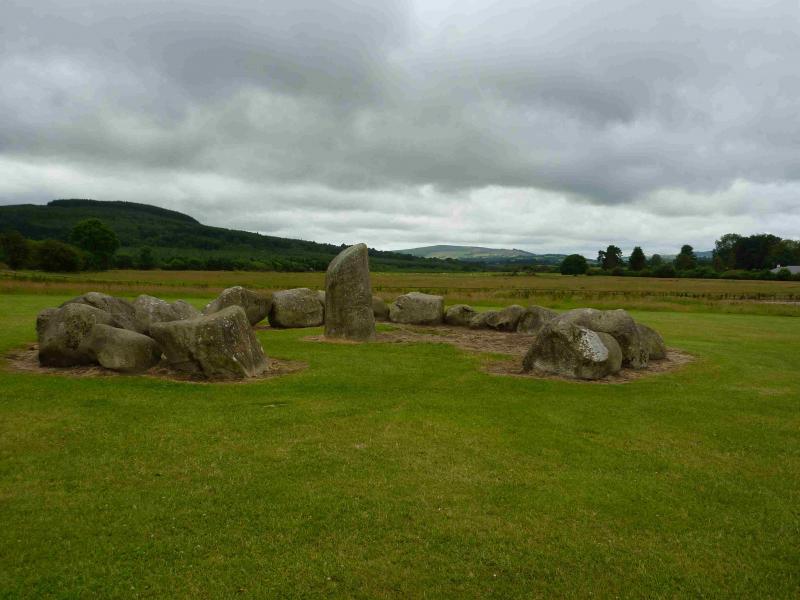
(d) There is an excellent camping and caravan site, in the village of Donard, called Moat Farm. It has beautiful landscaped grounds, including a stone circle (!) and is very well laid out with free hot showers. There is a large campers’ kitchen with tables and sinks but bring your own cooking equipment and pans. There is a fridge and freezer. There is also a sitting room with a TV. The owner and staff are very welcoming, very friendly and very helpful. You would be hard pressed to find a nicer site. Donard is about 4 miles from the Glen of Imaal stores (where you can buy a sandwich). Donard is signposted off the N 81 main road between Blessington and Baltinglass. More about Moat Farm in its own section!
Photos - Hover over photo for caption. Click on to enlarge. Click on again to reduce.