Get Lost Mountaineering
You are here: Ireland » East » Wicklow Mountains
Lobawn, Table Mountain, Camenabologue, Ludnaquilla & Slievemaan from Glen Imaal
Lobawn, Table Mountain, Camenabologue, Ludnaquilla & Slievemaan from Glen Imaal
Start/Finish
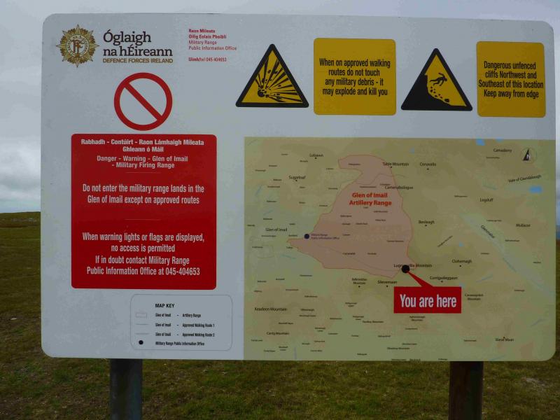
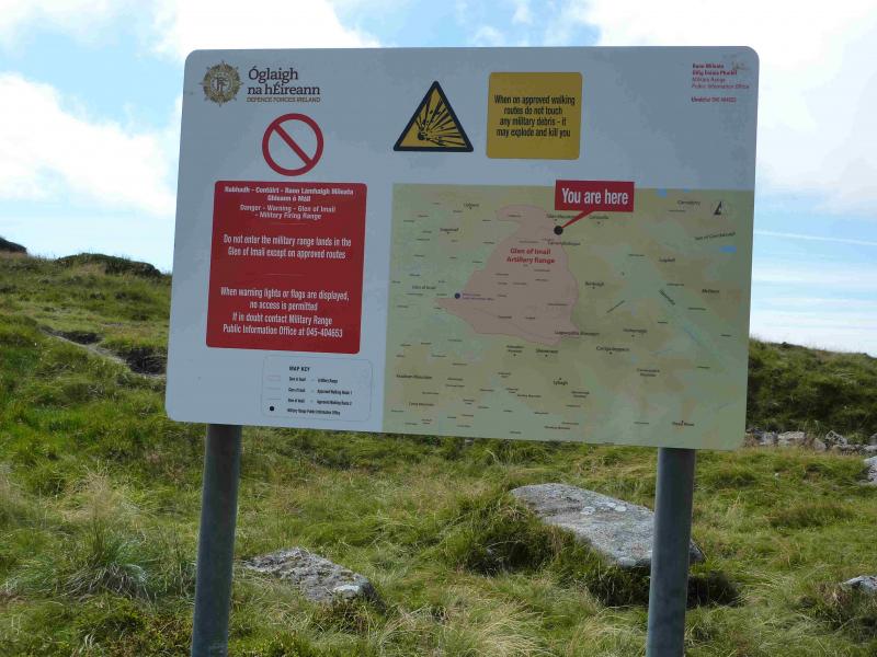
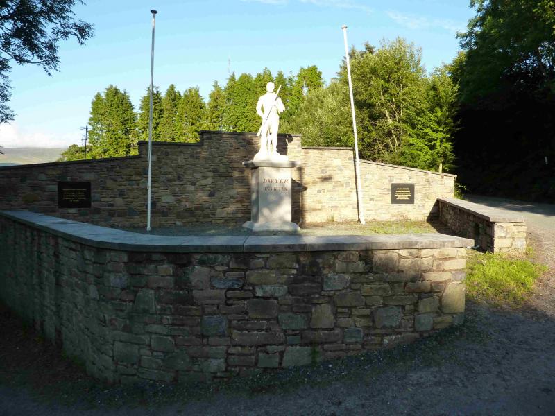
Ludnaquilla is the only “Munro” in the Wicklow Mountains and, indeed, the only one in the east of Ireland. Donard is a good base for the Wicklow Mountains and it is signposted off the N 81 road between Blessington and Baltinglass. Donard has a lovely camp site (see notes below) if you are not in a rush and can stay a few days. From Donard village, take the road opposite Toomey's Pub and follow it, taking the bend to the right at a junction to reach the Glen of Imaal store/post office (on a crossroads). Turn left here and continue to reach a pub (on right) with a corrugated roof which is just after a prominent statue of Michael Dwyer (a historical Irish freedom fighter) on the right. Immediately after the pub (often closed) is the Army Information and Advice Centre. Go inside to check that no firing is taking place that day as your route goes across the firing range! They are very helpful and usually have free large scale OS maps to hand out. You can also check in advance by ringing them a few days before as they have quite a structured program. The number is easily found through Google. Drive on past the Army Centre to where the road turns left back to Donard. This is actually a crossroads of two roads and two tracks. Park at the start of the track which is a continuation of the road taking care not to block the barrier.
Distance/Time
25 km About 8 – 9 hours
Peaks
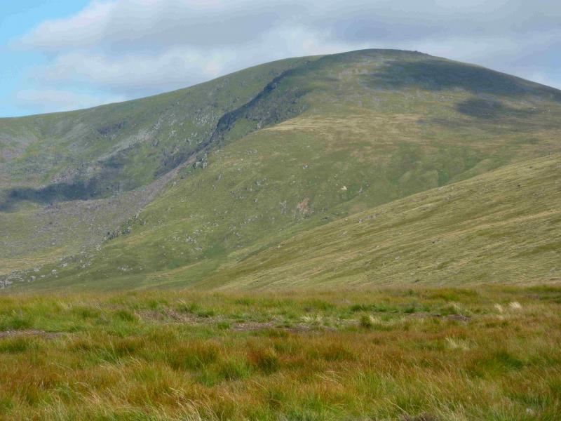
Lobawn, 636 m, S 978 977. (Irish National Grid System)
Table Mountain, 701 m, T 019 973.
Camenabologue, 758 m, T 023 959.
Camenabologue East Top, 663 m, T 036 953.
Ludnaquilla, 925 m, T 032 917.
Slievemaan, 759 m, T 017 908. Irish OS Discovery Series Map 56 (1:50000)
Introduction
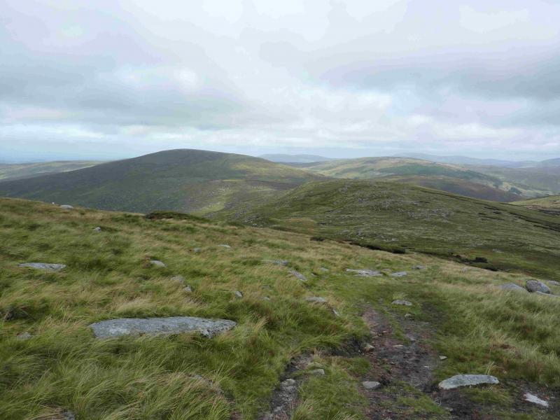
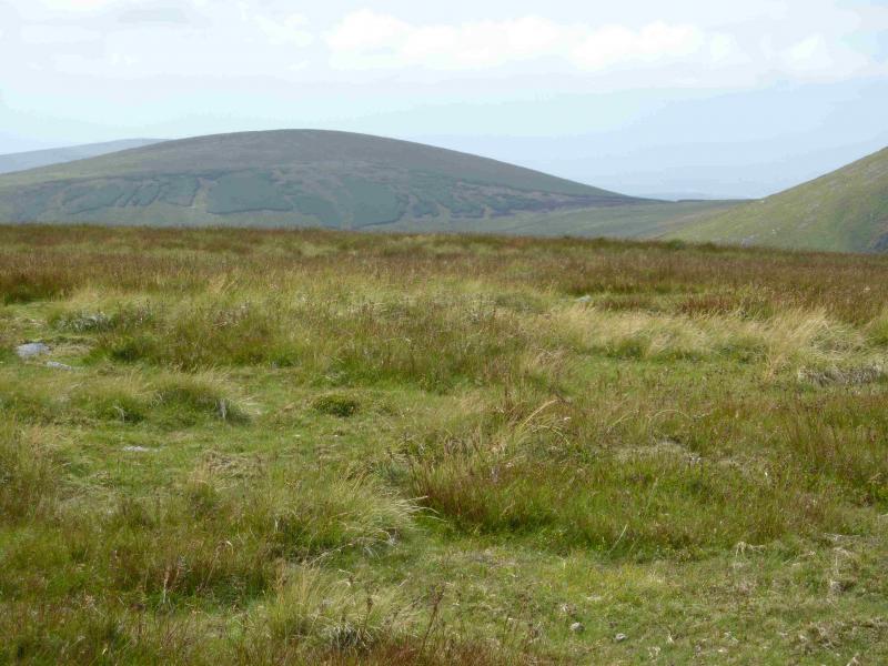
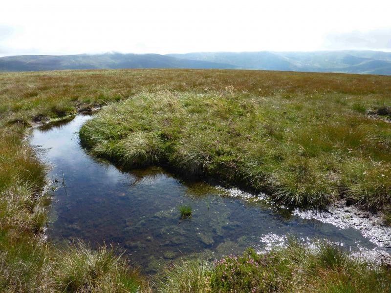
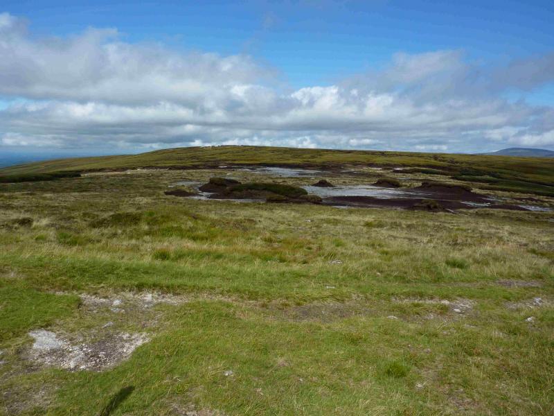
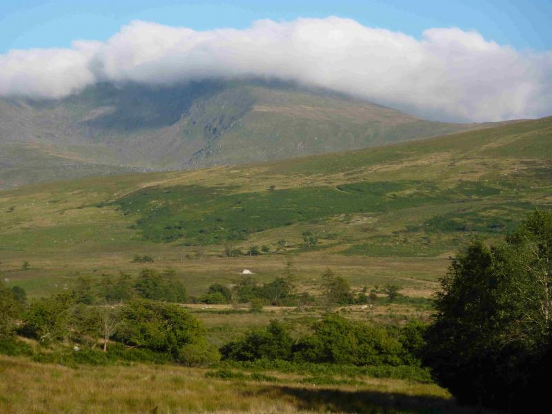
This is a tough circuit with some rough peaty and boggy ground along the way. It would be much more pleasant if Lobawn, Table Mountain, Camenabologue East Top and Slievemaan were omitted. This would save at least 4 hours. None the less, there are excellent views along the way. The summit plateau of Ludnaquilla is rather featureless so care will be needed in mist especially in descent. You should be able to easily reset your GPS to the Irish National Grid System.
Route
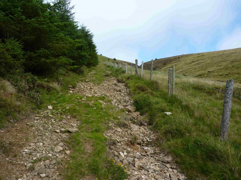
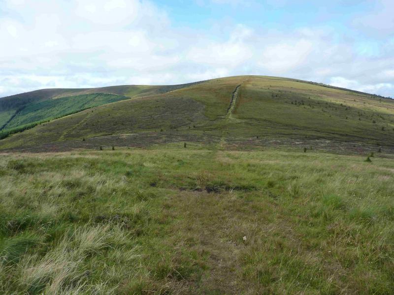
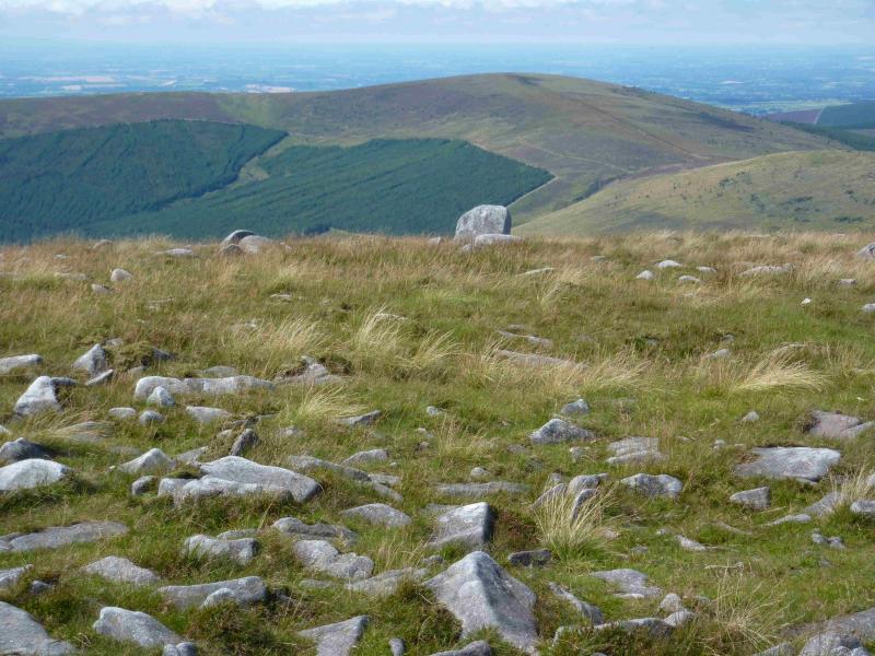
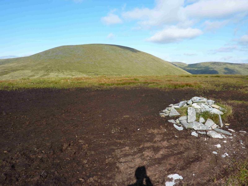
(1) Walk along the forest track, with occasional way mark signs, until a foot bridge is reached which the way marks indicate you should cross. Do not cross but continue on the track which ascends then levels out. Ignore all turnings. At one point the track becomes temporarily sandy with wide verges. Further on it leaves the old plantation and crosses a bridge over a small stream. The large clearing has been replanted on the right (some years ago) and, more recently, on the left. There are some small boulders by the side of the bridge. Just after the bridge, it looks like a path goes up, cutting back slightly, on the right, with stream on the right. Close to the stream is some tree felling debris but a little further left is more than a hint of a path. A fence may also be noticed higher up. Go up this path. Soon you are above the forest on your right and the path has become a rough and steep track. The fence is on your right and the plantation on your left. The stream is coming down from a gap known as Cavanagh's Gap (shown on map). Higher up, at the top of the plantation, the track goes left so, carefully cross the barbed wire fence. Walk roughly NW, on mixed ground to reach a small plateau where the summit of Lobawn, 636 m is situated but there is no cairn. There seem to be two possibilities: either a square low pillar or a raised mound about 20 m to the S.
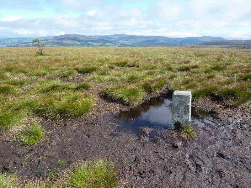
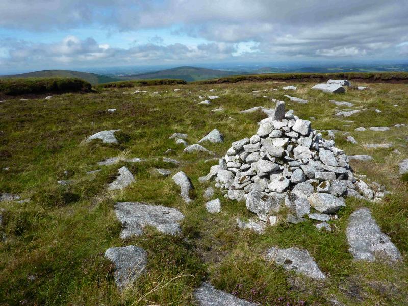
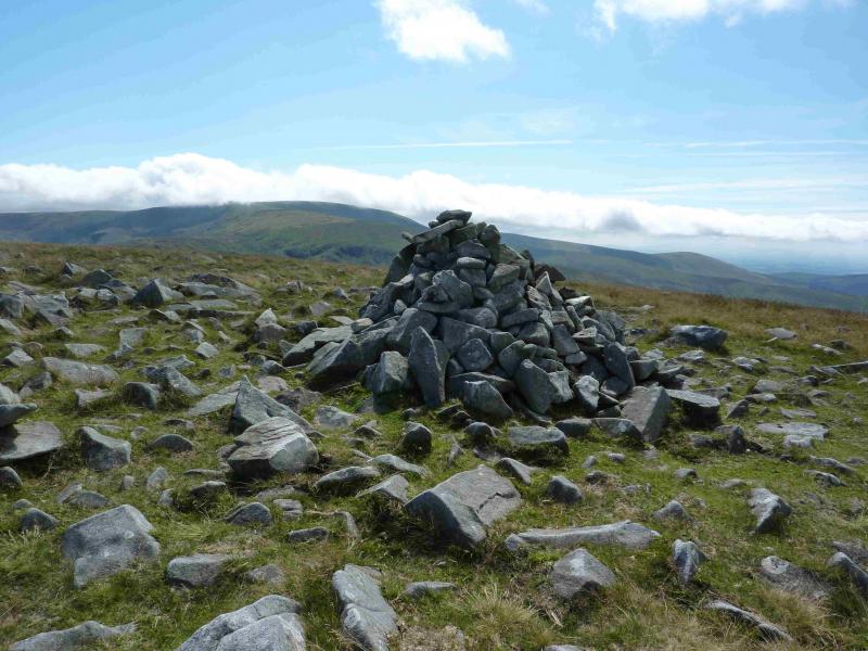
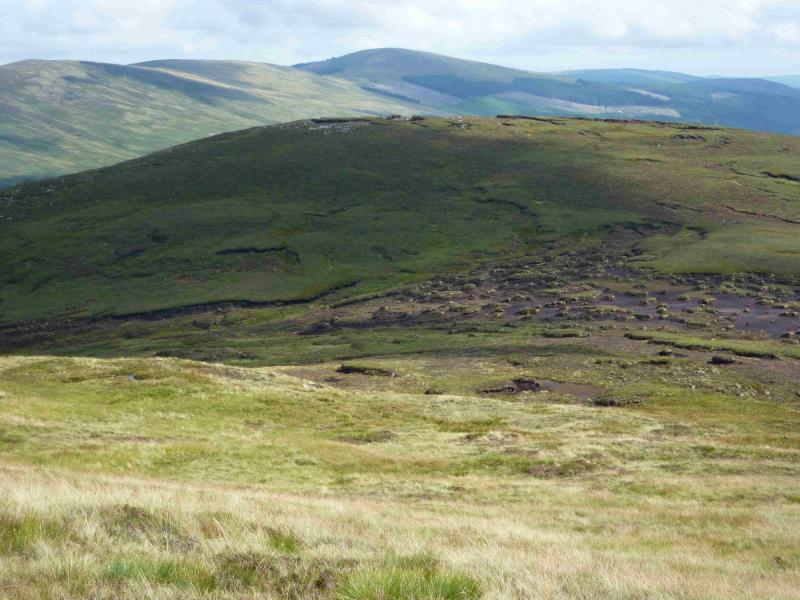
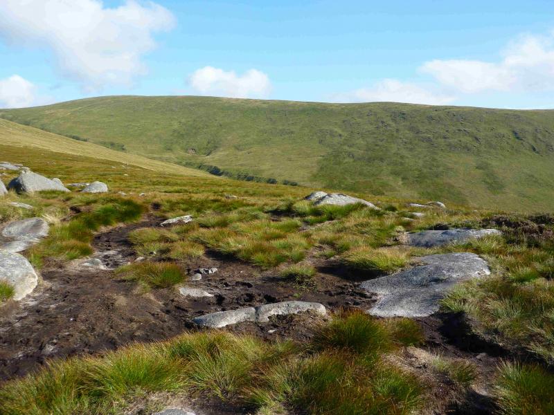
(2) Walk roughly E following a sort of ditch which widens and deepens as it drops to the col. There is a hint of a grassy path/track alongside. Continue up the other side and ascend Top 563 which is decorated with a few isolated conifers. Continue down the other side still following the path/track to reach a shallow col then start ascending the shoulder of Table Mountain still trying to follow the path/track. Higher up is another ditch which should be followed even if not walked in as it ends about 60 m from the cairn. At the top of the ditch, go straight ahead, over a peat bank, to reach a medium cairn which marks the summit of Table Mountain, 701 m. It is difficult to be sure if the cairn is on the highest point. Some peat hags are higher but may not count.
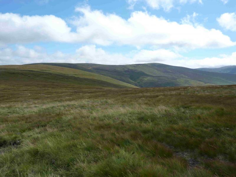
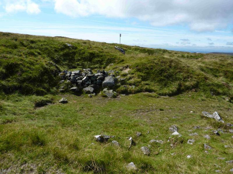
(3) From the cairn on Table Mountain, walk slightly E of S over and around some peat hags to reach the track connecting Glen Imaal and Glen Malur. Locate the firing range warning notice which is near a shallow “scoop” with a small wall set back. The path up Camenabologue goes up from here and is fairly distinctive. It is a relatively short and gentle ascent to the medium cairn which marks the summit of Camenabologue, 758 m.
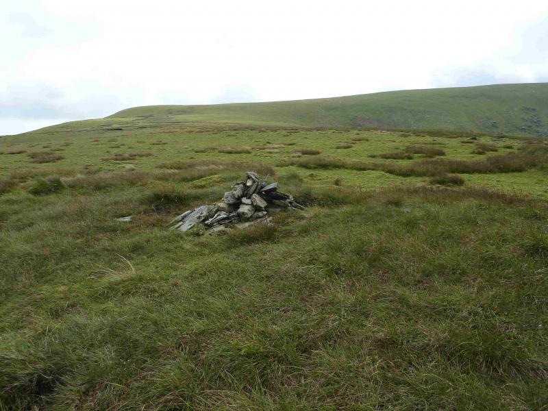
(4) The East Top is not visible from here so continue on the main path which descends SE. When the path swings S, leave it and continue SE down to a very peaty col then ascend up rough heathery slopes to reach a peat hag plateau. There are two cairns. The small cairn at the N end marks the summit of Camenabologue East Top, 663 m. The larger cairn, to the S, is clearly lower.
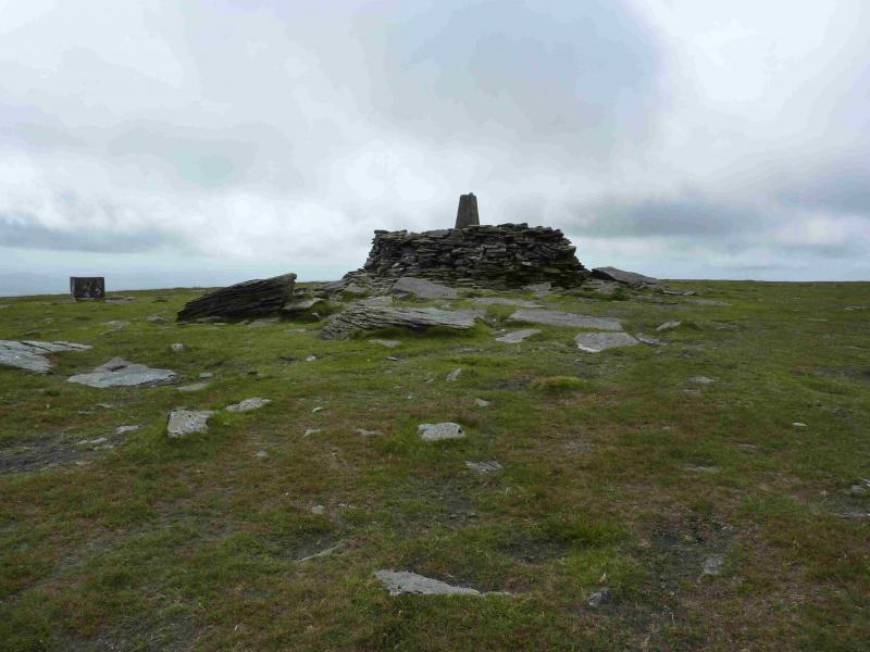
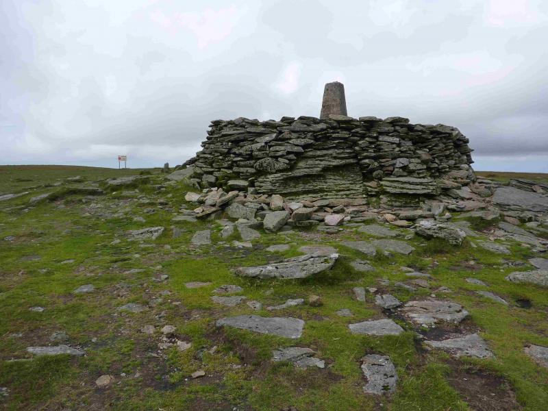
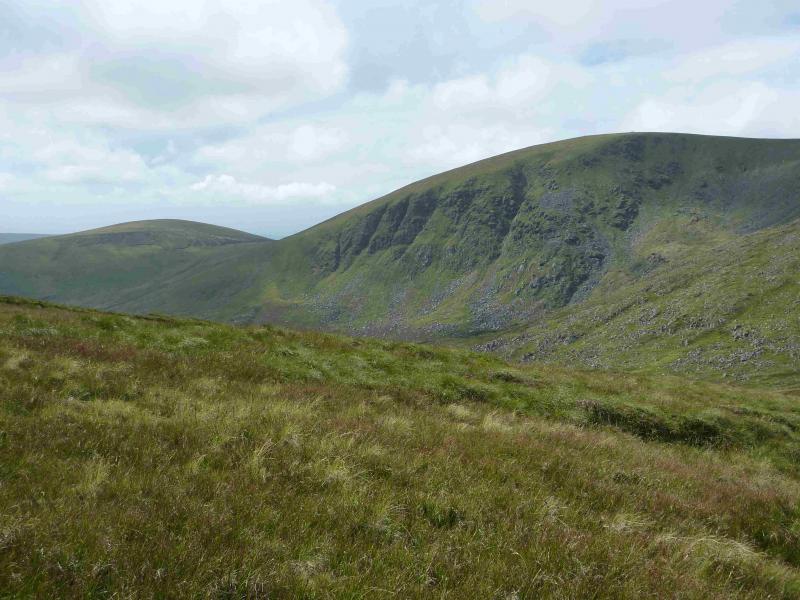
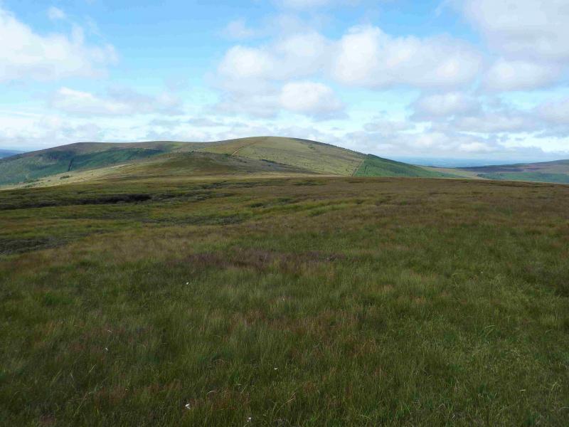
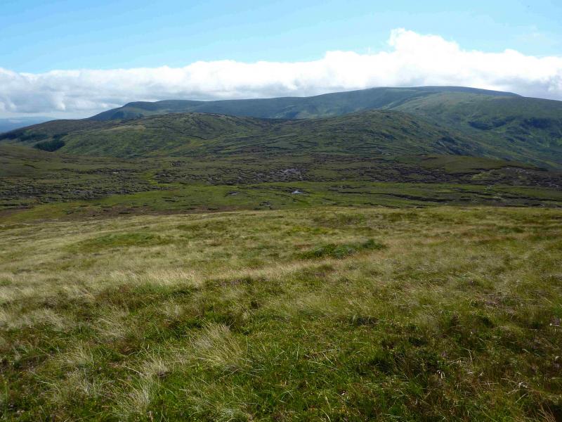
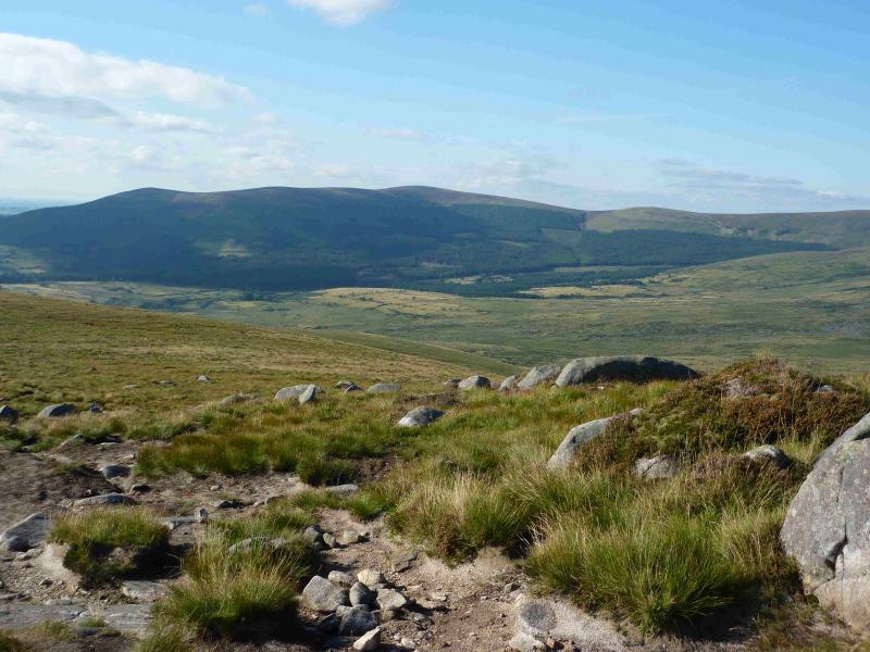
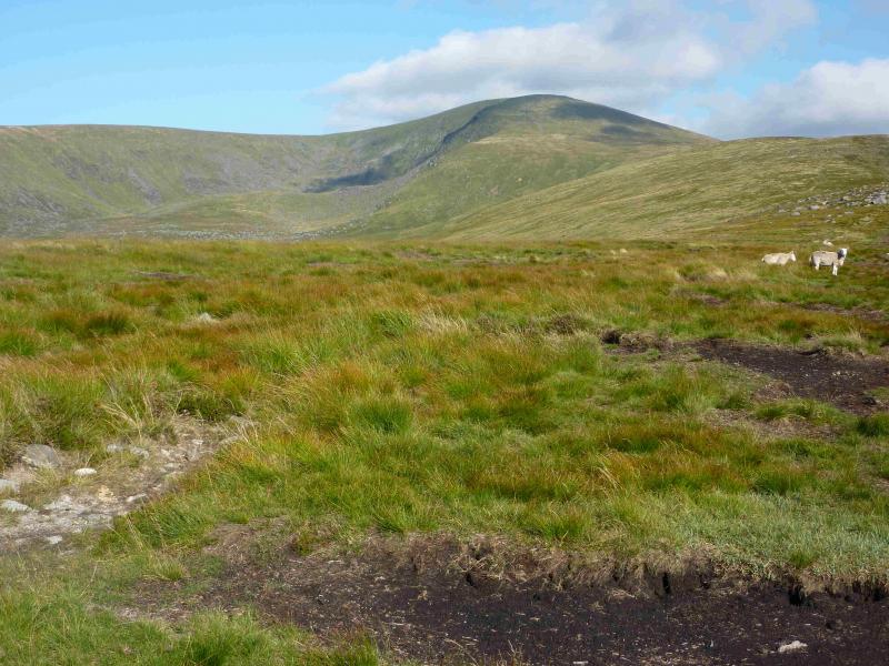
(5) The aim now is to get back on the main path as easily as possible so head roughly W but when forced to detour around a peat hag, try to pass on the S side. When the main path is regained, follow it S towards Ludnaquilla. After Benleagh, a peat hag ridden top to the left, the path coming up from the Fraughan Rock Glen is met at a small cairn. Continue S, up the N (becoming NW) ridge of Ludnaquilla passing the warning signs for the Glen Imaal artillery range. So long as you keep left of the signs, you are safe! Higher up, a few small cairns appear and there is a larger cairn slightly off to the right, on a shoulder, which looks across the North Prison (a rocky corrie) to Ludnaquilla. The ground underfoot is now very short grass and so easy to walk on that there is not much in the way of a path. Continue NW up the gentle slope, gradually turning SW around the North Prison corrie to reach the very large cairn on top of which stands the trig point which marks the summit of Ludnaquilla, 925 m. The cairn is large enough to provide shelter from any wind direction.
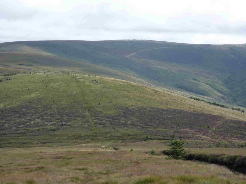
(6) Walk W along the plateau to another cairn then continue with more than a hint of a path. Continue roughly SW to descend moderately steep slopes to a broad col. Ascend the other side with a useful path and grassy track over to the left if needed. These lead up on to the summit plateau where a medium cairn marks the summit of Slievemaan, 759 m.
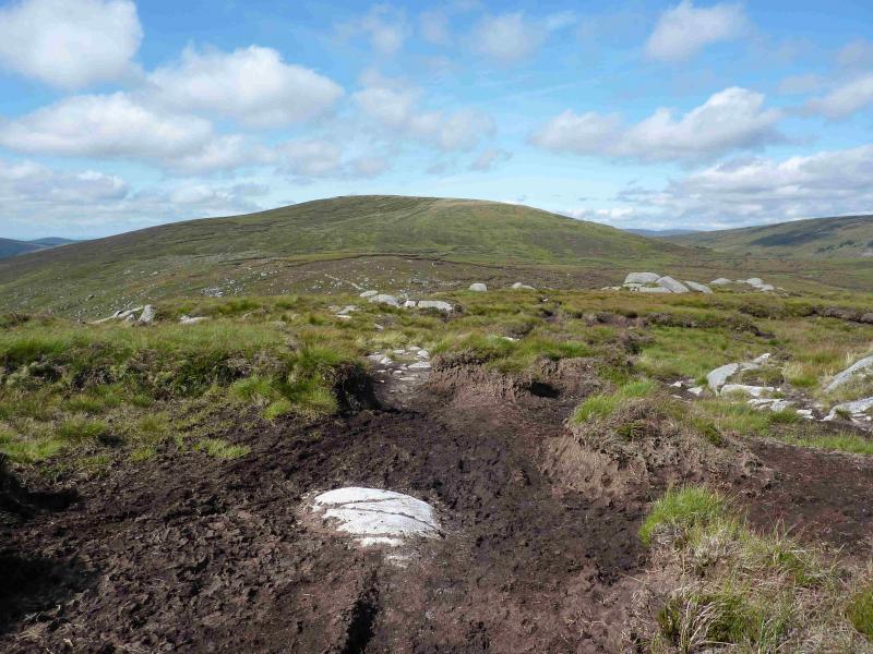
(7) Descend due N to go around the head of the Little Slaney River then head NW to intercept the main path coming down from Ludnaquilla to Camara Hill. Follow the distinctive path down to a gate where it becomes a track and follow this, now way marked, back to the road at the Michael Dwyer statue by the pub and Army Information Centre. Turn right and walk for about 2 km back to the start.
Notes
(a) This walk took place on 22nd August, 2013.
(b) Any alternative descents back to the Glen of Imaal should be checked at the Army advice centre beforehand as firing is often taking place somewhere.
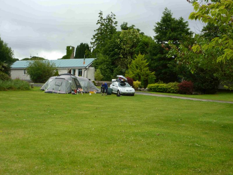
(c) There is an excellent camping and caravan site, in the village of Donard, called Moat Farm. It has beautiful landscaped grounds, including a stone circle (!) and is very well laid out with free hot showers. There is a large campers’ kitchen with tables and sinks but bring your own cooking equipment and pans. There is a fridge and freezer. There is also a sitting room with a TV. The owner and staff are very welcoming, very friendly and very helpful. You would be hard pressed to find a nicer site. Donard is about 4 miles from the Glen of Imaal stores (where you can buy a sandwich). Donard is signposted off the N 81 main road between Blessington and Baltinglass. More about Moat Farm in its own section!
Photos - Hover over photo for caption. Click on to enlarge. Click on again to reduce.