Get Lost Mountaineering
You are here: Ireland » East » Wicklow Mountains
Mullacor, Lugduff, Conavalla, Tomaneena & Camaderry from Glendalough
Mullacor, Lugduff, Conavalla, Tomaneena & Camaderry
from Glendalough
Start/Finish
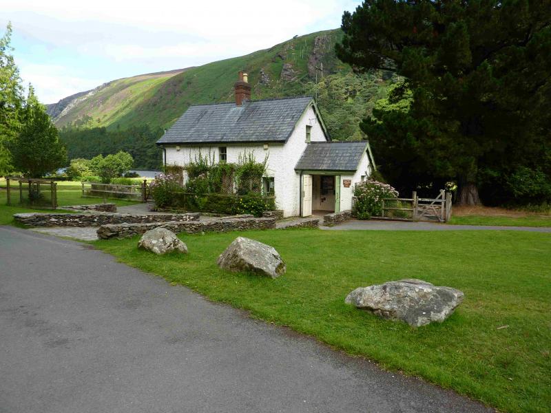
The top car park in Glendalough, at T 112 964, just before the Upper Lake at the end of the public road. In 2013, it cost 4 Euros to use this car park which is only open between 8 am and 10 pm (subject to change). There are hefty penalties if your car is “locked in”. The car park at the entrance to Glendalough is free with no restrictions but will involve extra walking. The road into Glendalough starts about 1.3 miles west of Laragh which is on the eastern side of the Wicklow Gap road. From Blessington, drive south and take the road for Hollywood which can be followed over the Wicklow Gap. The turning for Glendalough is a sharp reverse right fork and easily missed. There is a visitor centre at the start of the glen by the free car park. Donard is a good base for the Wicklow Mountains and it is signposted off the N 81 road between Blessington and Baltinglass. Donard has a lovely camp site (see notes below) if you are not in a rush and can stay a few days. From Donard, drive to the main road ,N 81, then go north and turn off for Hollywood and the Wicklow Gap.
Distance/Time
26 km About 8 hours
Peaks
Mullacor, 657 m, T 092 939. (Irish National Grid System)
Lugduff, 652 m, T 072 953.
Conavalla, 734 m, T 039 972.
Tomaneena (Turlough Hill), 681 m, T 063 982.
Camaderry, 698 m, T 081 980. Irish OS Discovery Series Map 56 (1:50000)
Introduction
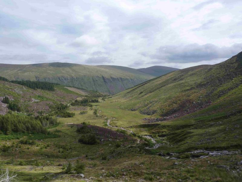
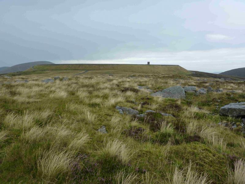
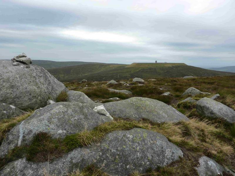
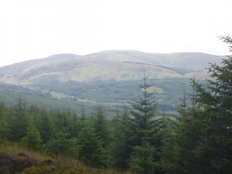
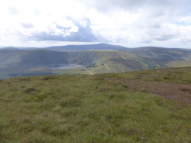
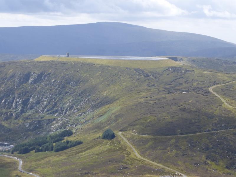
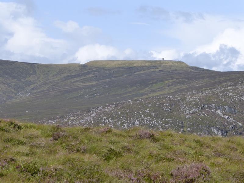
Technically all these tops are subsidiary tops of Ludnaquilla which is some distance away across Glen Malur. They give good views of “Lud” especially into the Fraughan Rock Glen. The ascent to the first top, Mullacor, is very straightforward as is the descent from the final top, Camaderry. In between is a mixture of distinctive paths, faint paths and much peat bog which is not too bad in a dry spell. A pump storage reservoir has been built on Tomaneena and is actually higher than the original mountain!Navigation in mist would be quite taxing. You should be able to easily reset your GPS to the Irish National Grid System.
Route
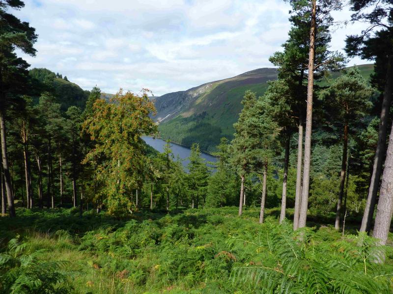
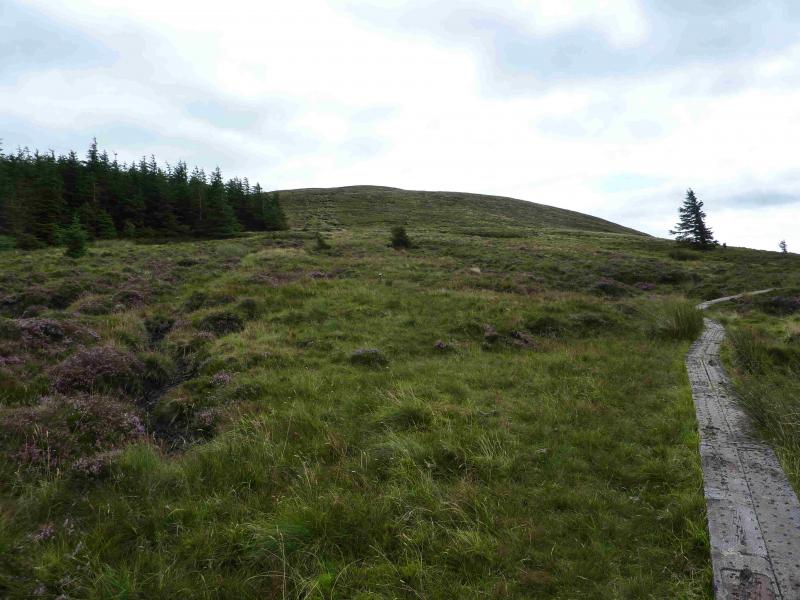
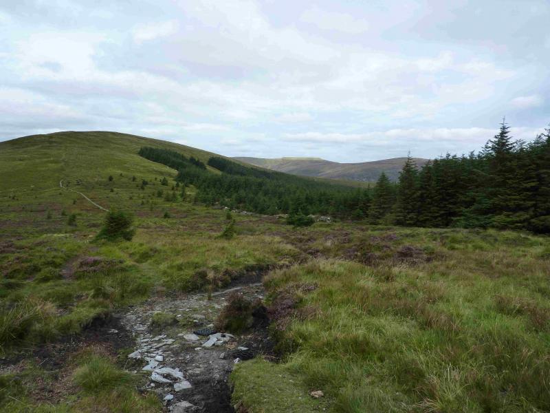
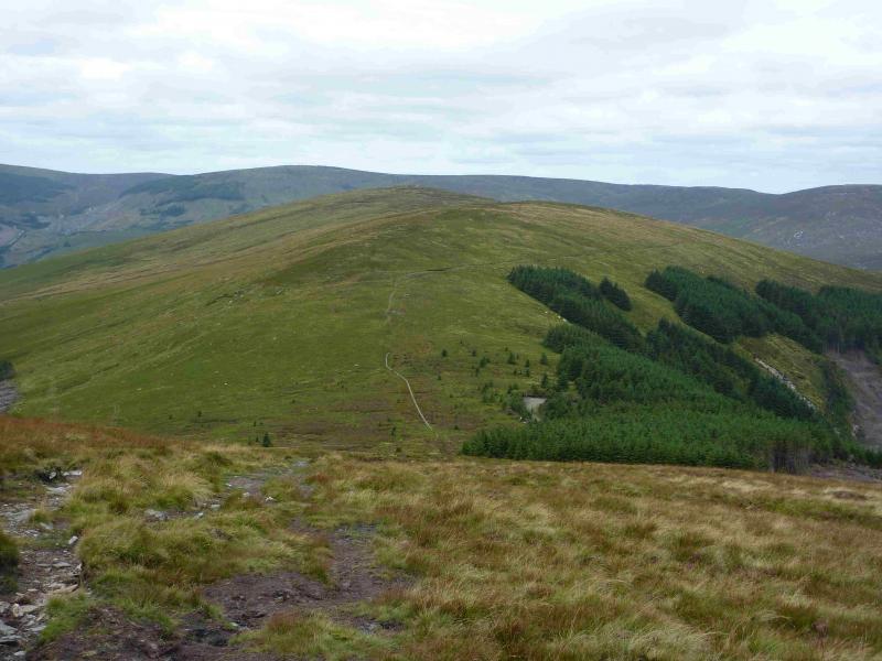
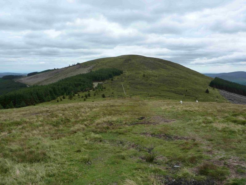
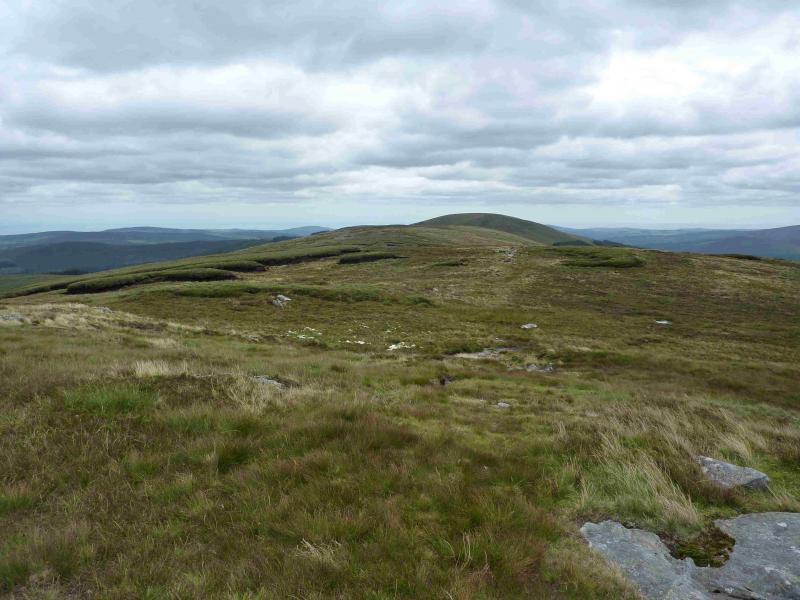
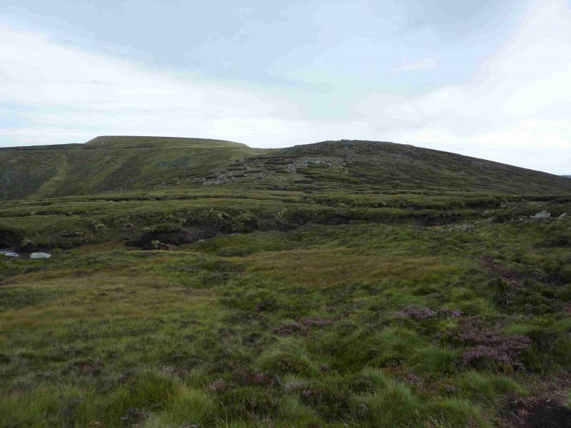
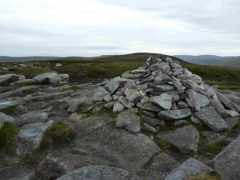
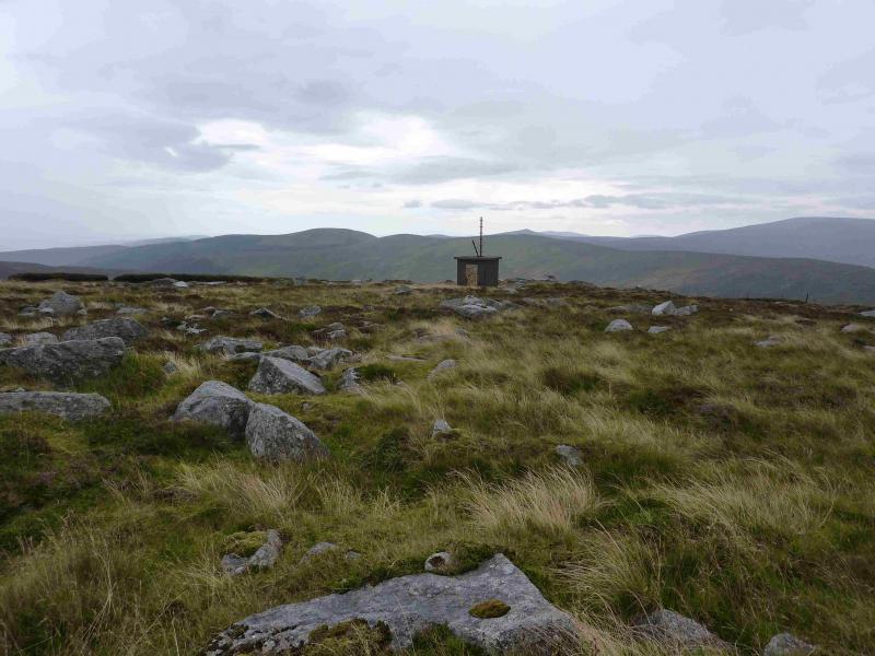
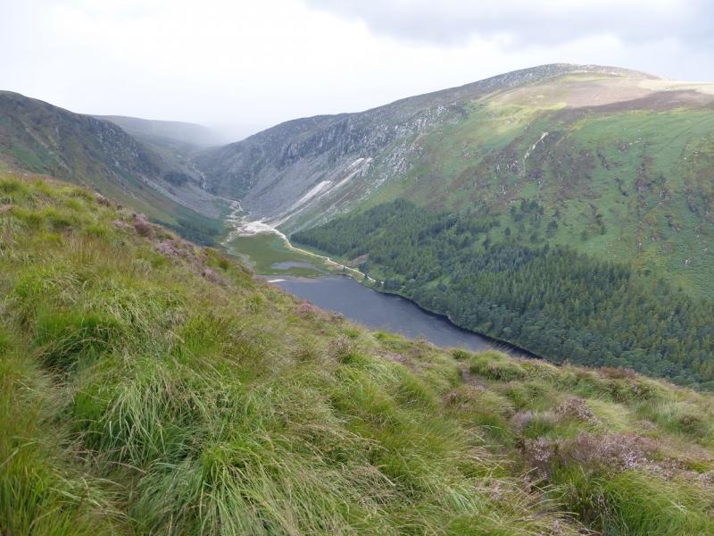
(1) From the top car park, take the path to the information office. From here follow the red arrows or yellow walker signs (Wicklow Way). Initially the path climbs by a waterfall. Higher up, the red arrows offer a choice of routes. Go left, across a bridge, and follow the way marks all the way, along forestry tracks, to the highest point of the Wicklow Way which is the NW col of Mullacor. Some board walks (wooden planks) lead into the col from the track. From the col a peaty path leads up easy slopes to the flat summit area where there are two cairns at roughly the same height with the second one seeming to be the higher. The third cairn along is definitely lower. Visit both to be sure you have reached the summit of Mullacor, 657 m.
(2) Return to the col and follow the board walks towards Lugduff. The board walks soon run out as the ground improves. The red arrows indicate going right but this is a return to the glen so go straight ahead, on a distinct path, to reach a top without a cairn. Descend slightly then ascend to a top with a cairn which marks the summit of Lugduff, 652 m.
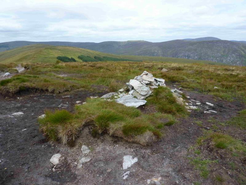
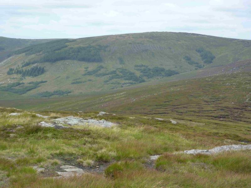
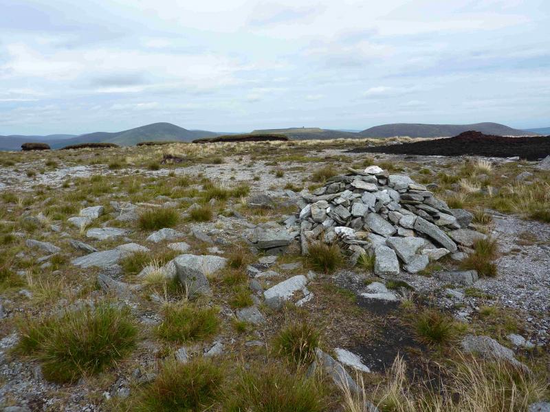
(3) Continue along the crest, on a distinctive path which weaves around to find the best ground. And crosses a few minor tops. As the path gets nearer to Conavalla, it becomes fainter and may be hard to follow but continue roughly NW up easy slopes apart from the peaty ditches which have to be crossed. Gradually bear around to the SW to reach the stony summit plateau where there are two cairns, about 150 m apart, and higher peat hags. The smaller cairn appears to be the higher and marks the summit of Conavalla, 734 m. Visit both cairns to be sure of being on the summit!
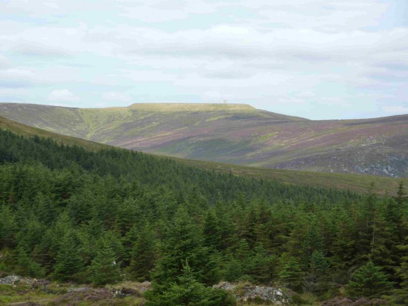
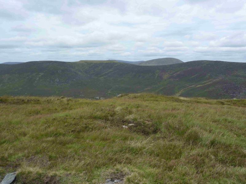
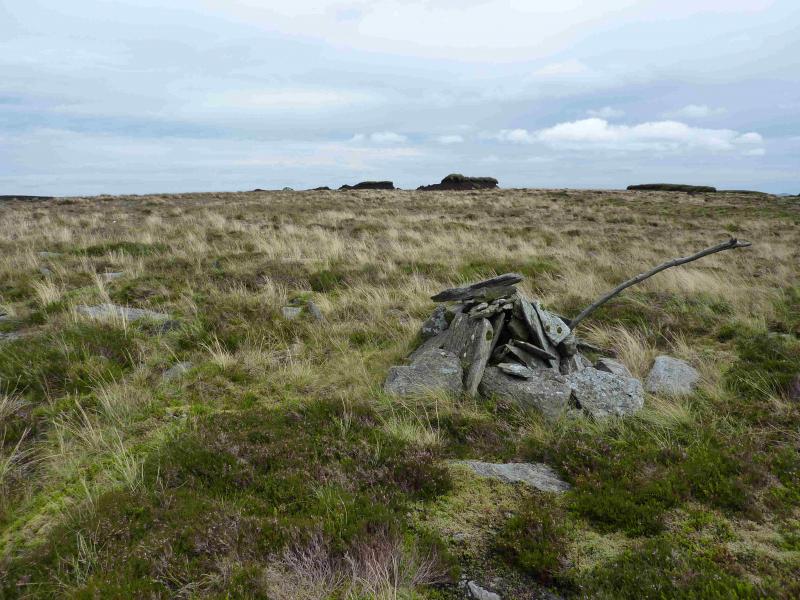
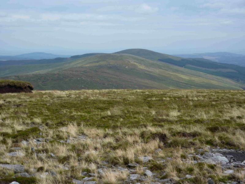
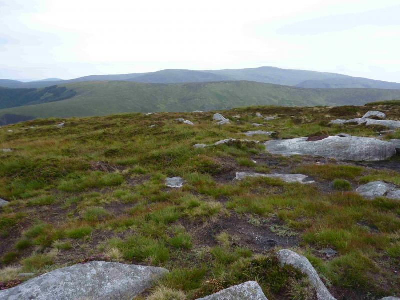
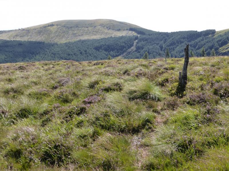
(4) The next section is the roughest but in clear weather the high grassy “walls” of the high reservoir are a good guide. The route is initially NE, passing to the E of Lough Firrib, then goes E on a reasonable path. A very large peat bog is crossed below Conavalla which is firm enough in summer but would be more serious in winter. A succession of minor tops are crossed and there is a path for much of the way although it can be hard to locate at times. Tomaneena is not named on the map and some guide books use another name for the hill but it is SW of and close to the reservoir walls. The top is flat and bouldery with no obvious cairn to mark the summit of Tomaneena, 681 m also known as Turlough Hill.
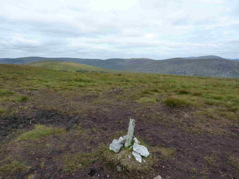
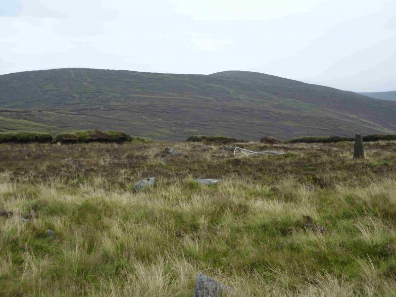
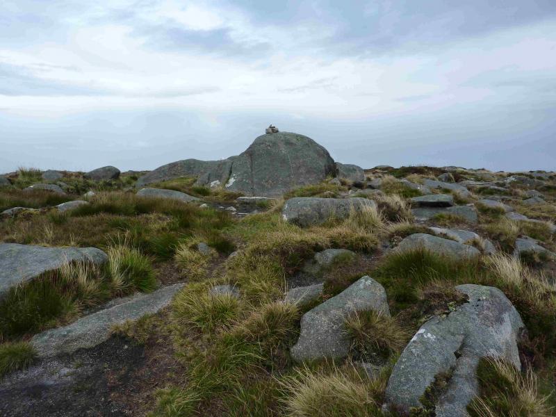
(5) The reservoir is fenced off but walk as close to the fence as possible heading E. Reach a fairly distinctive path which leads down, SE, to a shallow col then up, E, to a plateau where a small cairn on a boulder marks the summit of Camaderry, 698 m.
(6) Continue, across a shallow col, to the SE top (677), then descend down the E ridge on a very distinctive peaty and stony path. Lower down, the path becomes a wide grassy strip. In summer, this passes between high ferns. Eventually, it reaches a track. Go left (going right takes one to the end of the track at a turning circle within 30 m) and follow the stony/grassy track down to a junction where there is a way mark post and a path going ahead. Stay on the track which goes right and follow it to its end where it meets the end of a tarmac road close to an Education Centre on the N shore of the Upper Lake. Turn left and follow the tarmac road to a bridge. Cross over and follow the signs back to the car park.
Notes
(a) This walk took place on 24th August, 2013.
(b) When the hill is free of ferns, there are paths (not checked out) off the grassy descent strip which considerably reduce the walking distance and take one more directly to the track close to where it meets the tarmac road.
(c) There is an excellent camping and caravan site, in the village of Donard, called Moat Farm. It has beautiful landscaped grounds, including a stone circle (!) and is very well laid out with free hot showers. There is a large campers’ kitchen with tables and sinks but bring your own cooking equipment and pans. There is a fridge and freezer. There is also a sitting room with a TV. The owner and staff are very welcoming, very friendly and very helpful. You would be hard pressed to find a nicer site. Donard is about 4 miles from the Glen of Imaal stores (where you can buy a sandwich). Donard is signposted off the N 81 main road between Blessington and Baltinglass. More about Moat Farm in its own section!
Photos - Hover over photo for caption. Click on to enlarge. Click on again to reduce.