Get Lost Mountaineering
You are here: Ireland » East » Wicklow Mountains
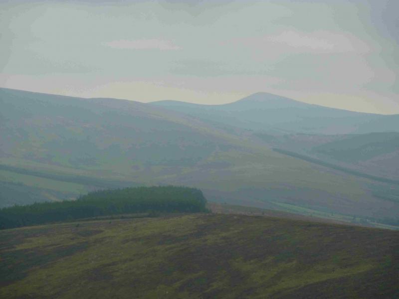
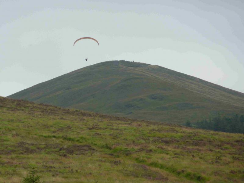
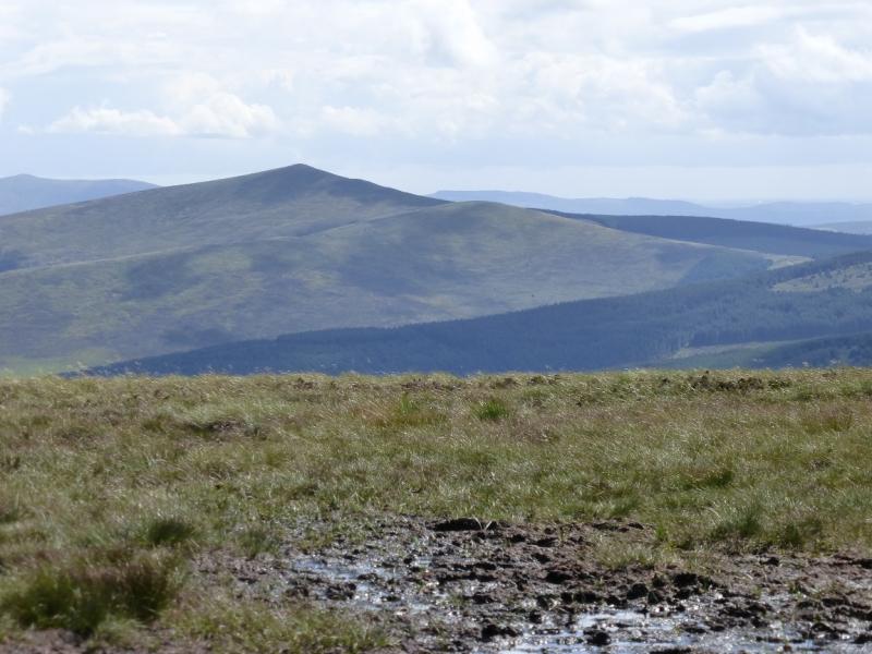
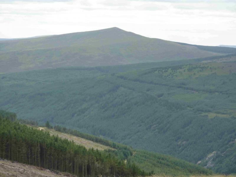
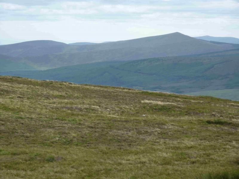
Croaghanmoira from the top of the Drumgoff pass
Croaghanmoira from the top of the Drumgoff pass
Start/Finish
Donard is a good base for the Wicklow Mountainsand it is signposted off the N 81 road between Blessington and Baltinglass. Donard has a lovely camp site (see notes below) if you are not in a rush and can stay a few days.The route starts at the top of the Drumgoff Pass – a name not used on any map – at T 087 876. If driving from Glen Malur, it is the top of the first pass. If driving from Donard, a pleasant place to stay with a lovely camp site, then take the road opposite Toomey's Bar and follow it to the crossroads – it bends right on the way at a junction – where the Glen of Imaal Stores is located and where you can buy sandwiches, etc. Take the road opposite the stores and follow it, going left at every junction until the top of the high pass is reached. Shortly before the top, the Wicklow Way is signposted on the right. Park in the wide entrance to the forestry on the W side of the road but leave room for the wide forestry wagons to get past your car. There is an iron gate across the road.
Distance/Time
4 km About 2 hours
Peaks
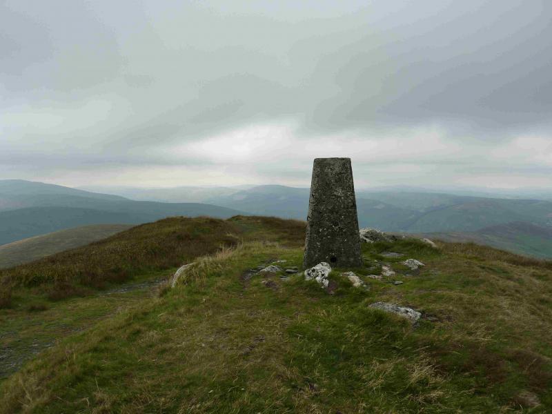
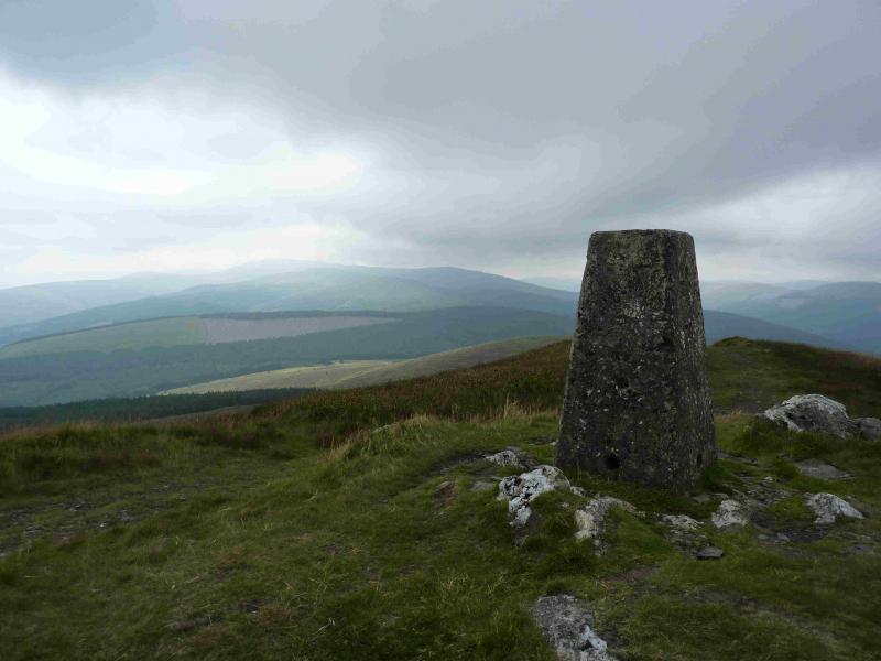
Croaghanmoira, 653 m, T 099 865. (Irish National Grid System)
Irish OS Discovery Series Map 62 (1:50000)
Introduction
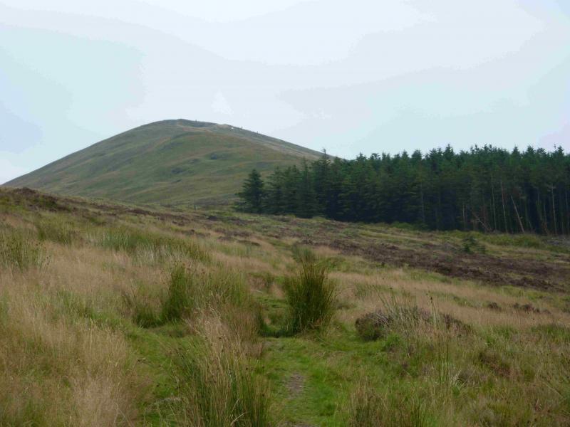
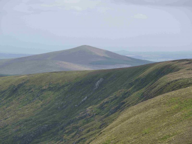
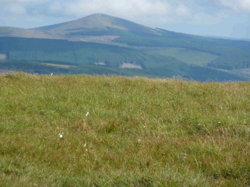
Croaghanmoira is one of the most distinctive peaks in the area. From almost every direction it looks conical. It is easily ascended by a good path and offers excellent views of Ludnaquilla on a clear day. Other Glen Malur hills as well as the coast will also be seen on a clear day. You should be able to easily reset your GPS to the Irish National Grid System.
Route
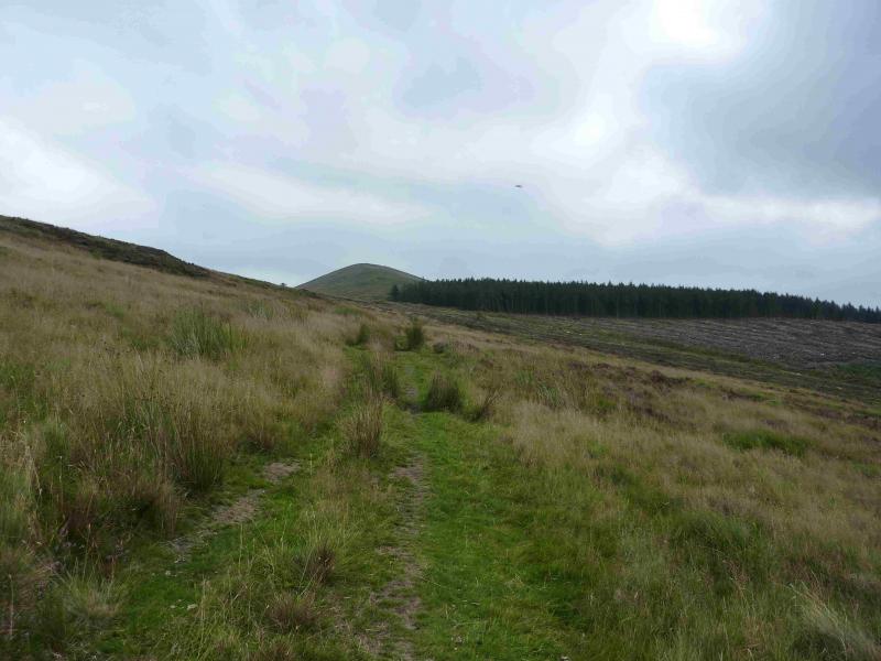
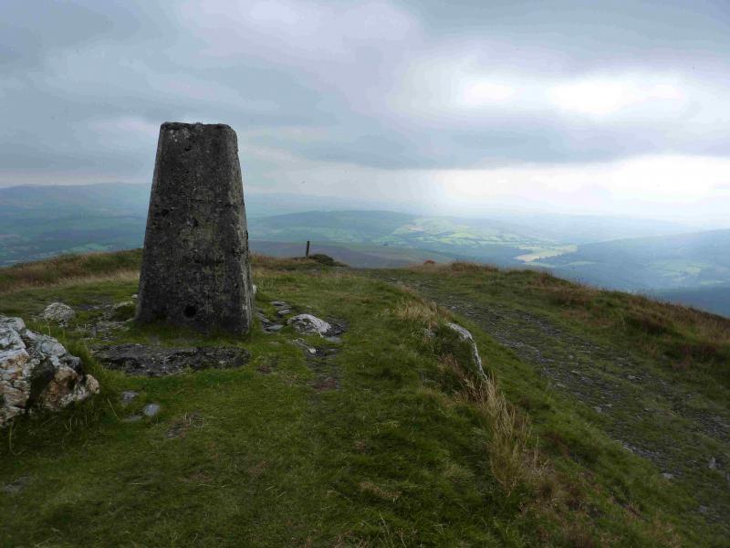
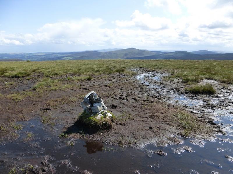
(1) Go through the iron gate and follow the very obvious path SE which ascends gently towards the corner of the forest. The path is then fairly level alongside the edge of the forest where there is also a forestry track. About 300 m further, the path and track swing ESE and climb moderately steeply for 500 m to reach a small plateau where a trig point marks the summit of Croaghanmoira, 653 m.
(2) Retrace the outward route back to the forest entrance.
Notes
(a) This walk took place on 26th August, 2013.
(b) There is an excellent camping and caravan site, in the village of Donard, called Moat Farm. It has beautiful landscaped grounds, including a stone circle (!) and is very well laid out with free hot showers. There is a large campers’ kitchen with tables and sinks but bring your own cooking equipment and pans. There is a fridge and freezer. There is also a sitting room with a TV. The owner and staff are very welcoming, very friendly and very helpful. You would be hard pressed to find a nicer site. Donard is about 4 miles from the Glen of Imaal stores (where you can buy a sandwich). Donard is signposted off the N 81 main road between Blessington and Baltinglass. More about Moat Farm in its own section!
Photos - Hover over photo for caption. Click on to enlarge. Click on again to reduce.
 from top of pass.jpg)