Get Lost Mountaineering
You are here: Scotland » 02 River Tay to Rannoch Moor » Ben Lawers Range including Tarmachan Ridge and Meall nam Maigheach
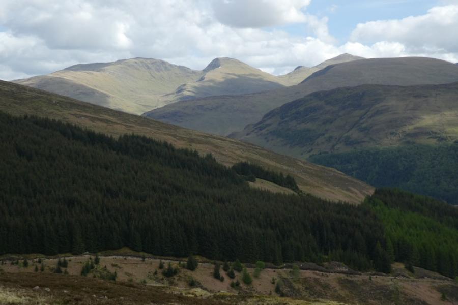
Meall Greigh, Meall Garbh, An Stuc & Ben Lawers
Meall Greigh, Meall Garbh, An Stuc & Ben Lawers
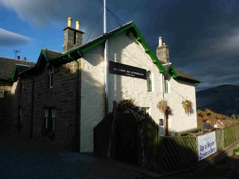
from Ben Lawers Hotel
Start/Finish
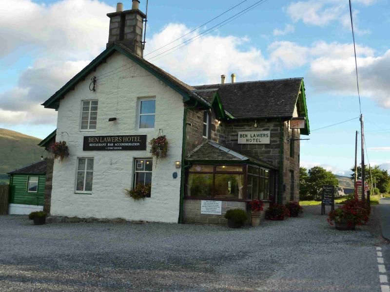
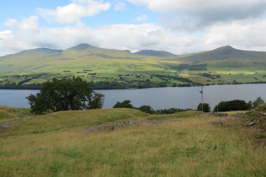
Ben Lawers Hotel car park. The hotel is about half way along the A827 road on the north side of Loch Tay. It can be approached from either Killin, at the west end of Loch Tay, or Kenmore, at the east end. There is a notice in the car park saying that parking is conditional on walkers spending some money in the hotel after walking. This is not unreasonable so please do not abuse the parking facility as there is nowhere else to park in the vicinity. Anyway, the hotel is well worth going into for a drink after the walk. Its food is of very high quality and the author is a frequent diner there. It is not cheap but neither can it be considered expensive. You will not be disappointed unless they are fully booked and cannot fit you in!
Distance/Time
18 km About 8 hours
Peaks
Meall Greigh, 1001 m, NN 674 438.
Meall Garbh, 1118 m, NN 644 436.
An Stuc, 1118 m, NN 639 431.
Creag an Fhithich, 1047 m, NN 635 422.
Ben Lawers, 1214 m, NN 635 414. OS Sheet 51.
Introduction
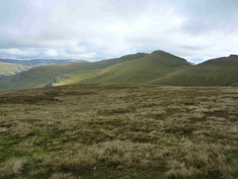
This is a fairly easy walk to navigate as there is a good path/track most of the way. However, this is a tough round and should not be underestimated. Ben Lawers is the highest mountain to the south of Ben Nevis. These mountains are very exposed and can be extremely challenging in windy conditions so a clear day with light winds should be chosen, outside of winter, unless you are very experienced. The views are superb throughout. The ascent of An Stuc has a short awkward section in a steep and loose gully. Many guide books have a route starting and finishing at the Ben Lawers Hotel but most omit Ben Lawers. Including it gives a full horseshoe around the Lawers Burn and Lochan nan Cat. The ascent of Ben Lawers from its bealach with An Stuc is very straight forward, on a good path and many walkers will manage it in about 30 – 40 minutes.
Route
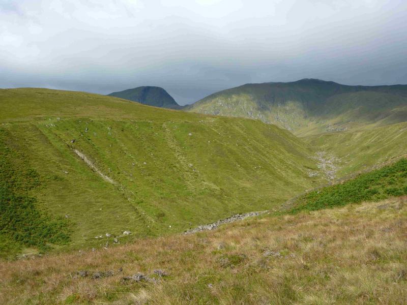
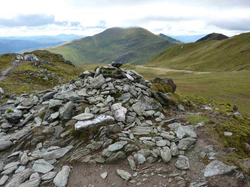
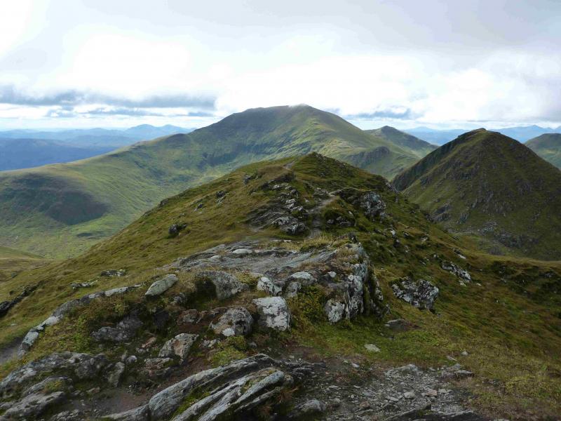
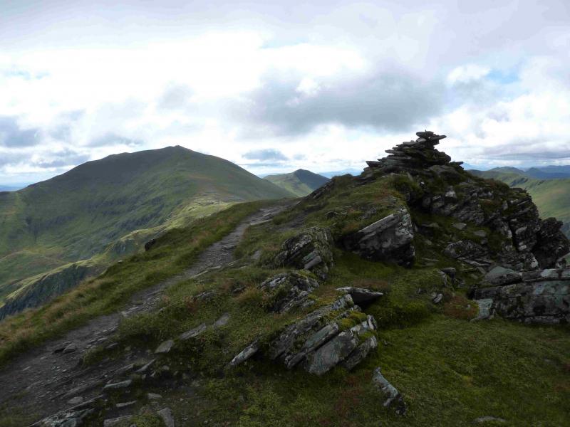
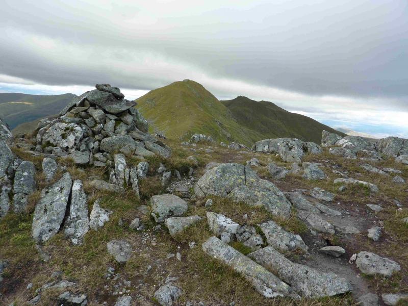
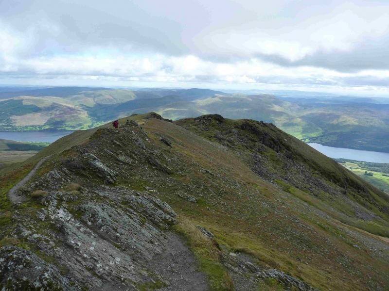
(1) Walk out of the Ben Lawers Hotel car park and turn right towards Kenmore. The road descends gently. Walk to the second bridge which is over the Lawers Burn. Just after here is the Horn Carver's shop opposite a private lay by. Just beyond is a gravel track which goes behind the Horn Carver's and is signed for Machuim Farm. Follow the track up which becomes a path that goes through a wood and eventually emerges on to the open hill side at a large stile. From here, follow the obvious path to the E of the burn. There are various options from here. None have very distinctive paths, especially lower down once the obvious path is left. One can either head straight for the S ridge of Meall Greigh and follow it up. Alternatively, follow the obvious path up to the remains of a bridge where it crosses the burn then ascend the E bank and pick a way up the E side of the prominent gully which goes up on to the S ridge about 600 m from the summit. Another possibility is to go a little further up the glen and ascend the W side of the gully. All of these routes have more distinctive paths higher up. The author favours the E side of the gully approach. Once on the crest, walk NNW, on a distinctive path, and soon reach the medium cairn which marks the summit of Meall Greigh, 1001 m.
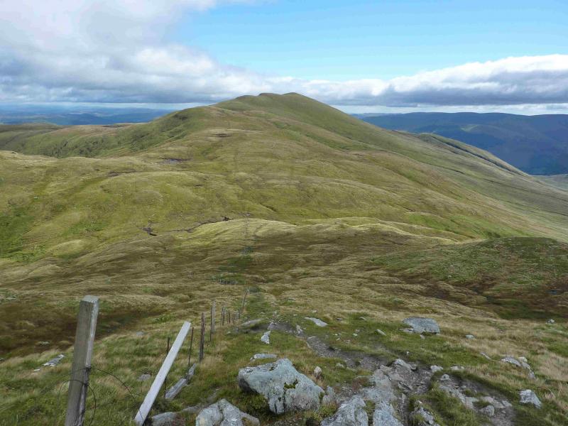
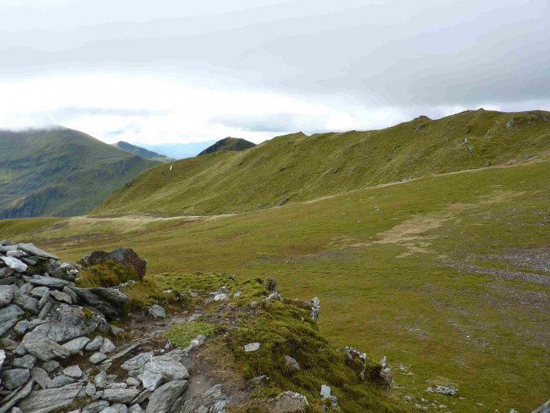
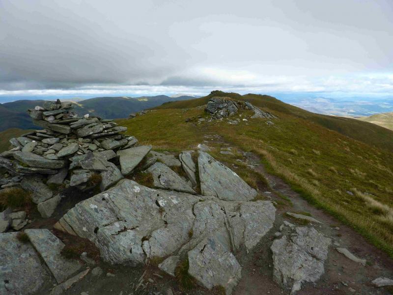
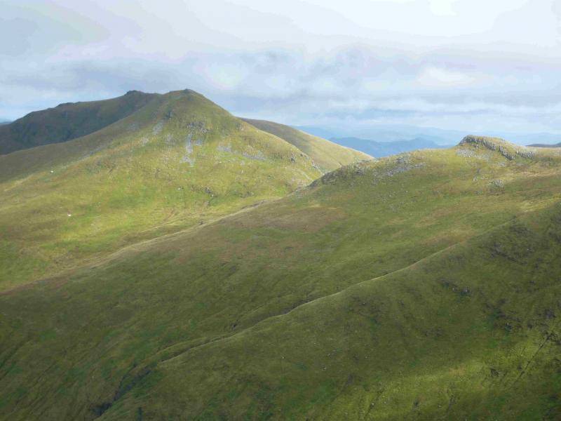
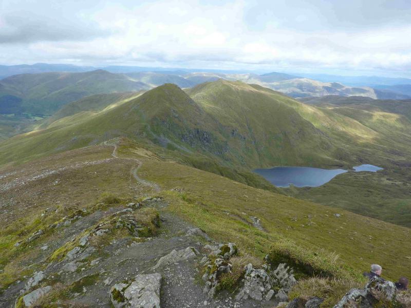
(2) Continue NNW, crossing a shallow dip, to a lower cairned top then follow the path, roughly W down to a bealach then up the other side. A fence is alongside the path much of the way but some of the going can be boggy. As height is gained on Meall Garbh, the ridge swings SW but be aware that the path first leads to a cairned false top just after the main path goes right to cross a very shallow gap. The true summit lies to the right across the shallow dip where there is a medium cairn which marks the summit of Meall Garbh, 1118 m.
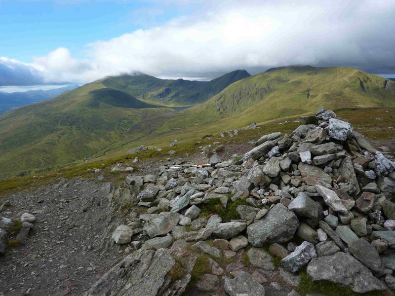
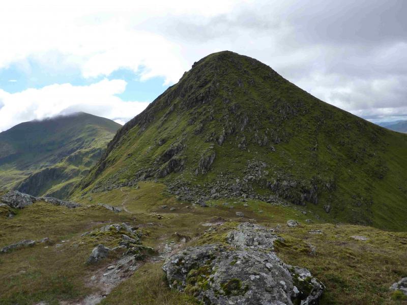
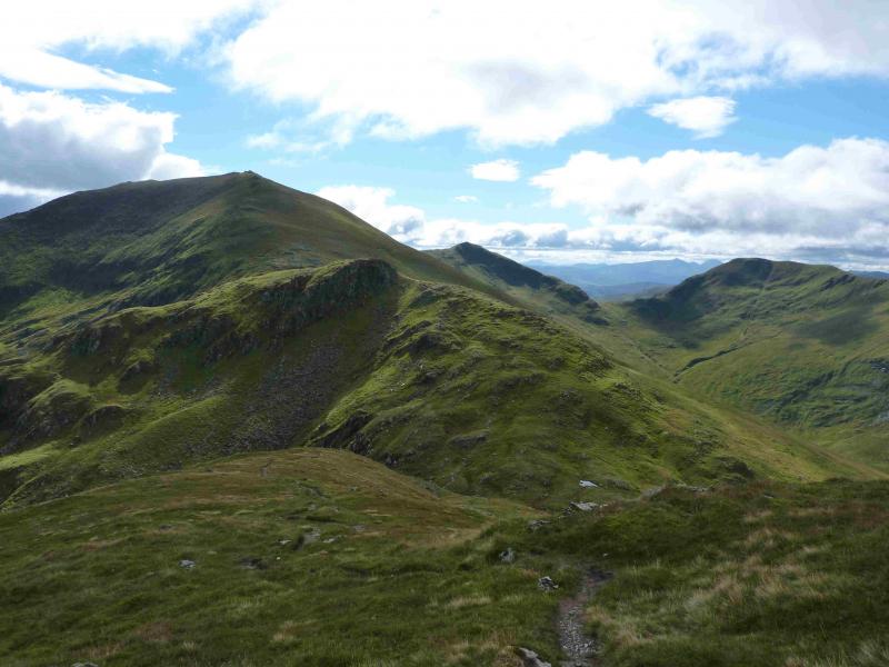
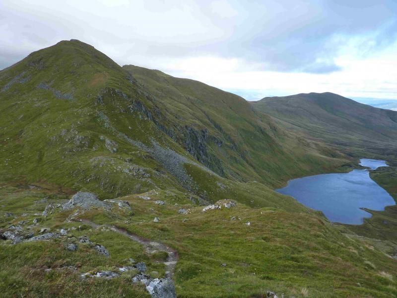
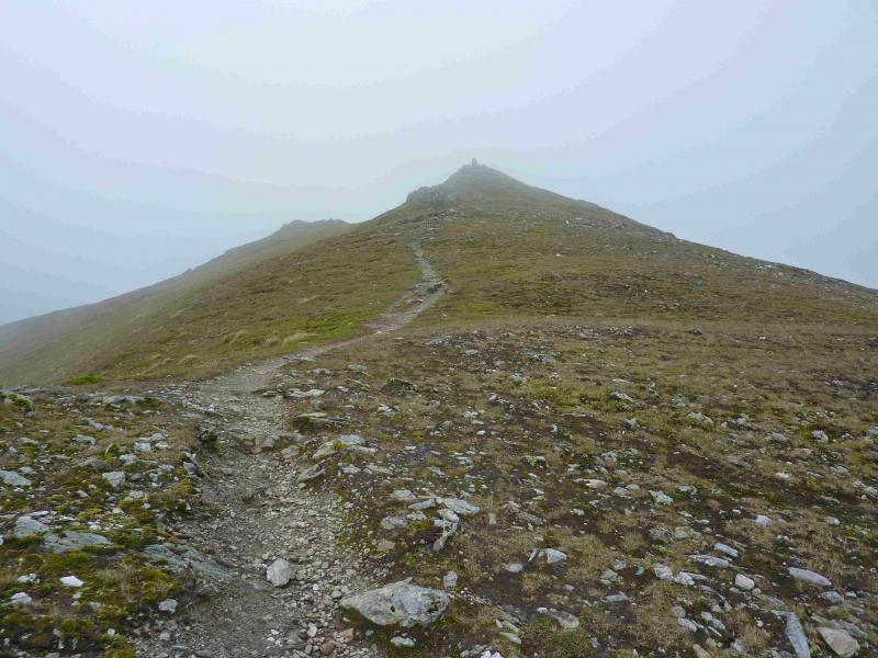
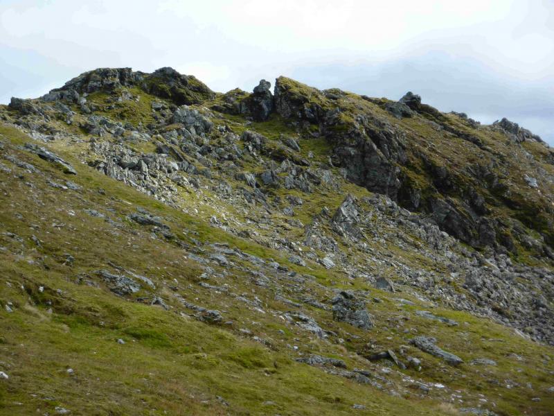
(3) Descend SW, still on a good path, down stony slopes to reach a bealach. The path is very distinctive here and starts to zig-zag up An Stuc. There are no problems until it enters an ill-defined, loose and eroded gully. Techically, this is about a Grade 1 scramble so should not be a problem but it can be quite slippery when wet. If possible, climb out of the left hand side of the gully as soon as possible where there is much better ground. To avoid this gully approach altogether, the only alternative is to contour across the N face (to the right coming from Meall Garbh) below the crags to gain the N ridge then follow it up. This alternative has not been checked out but does look much easier than the gully route in summer conditions. On the top, there is a medium cairn which marks the summit of An Stuc, 1118 m.
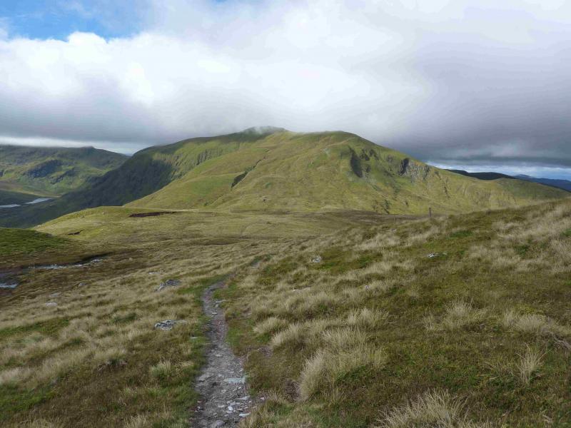
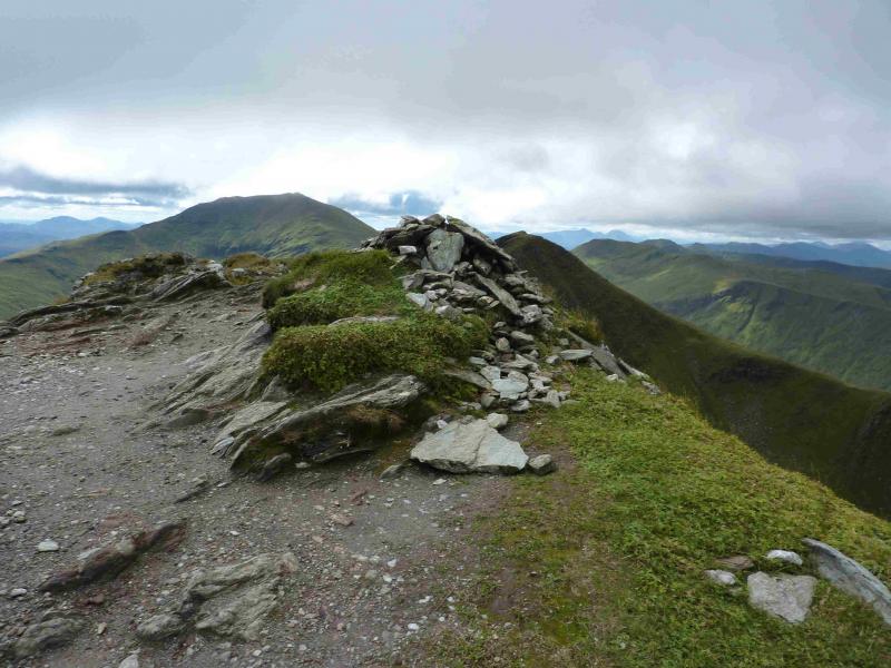
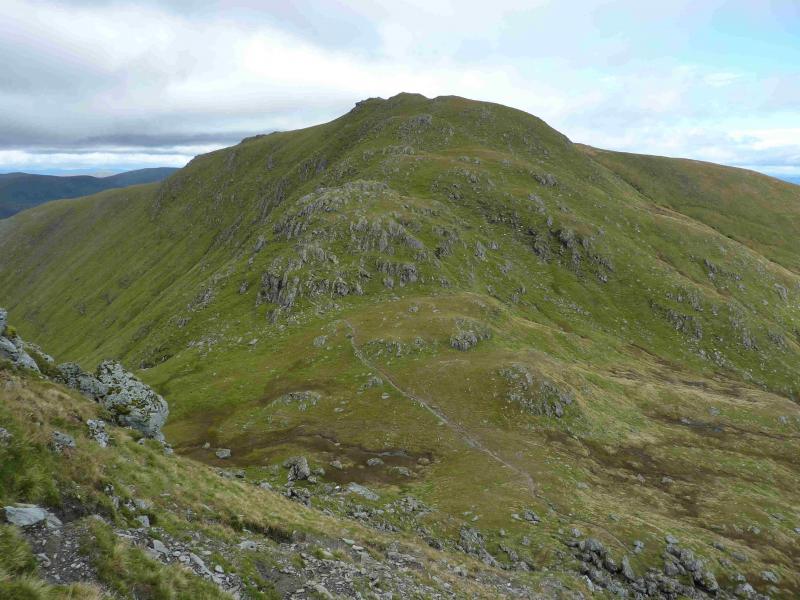
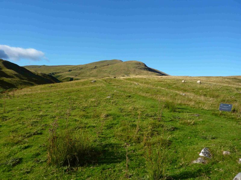
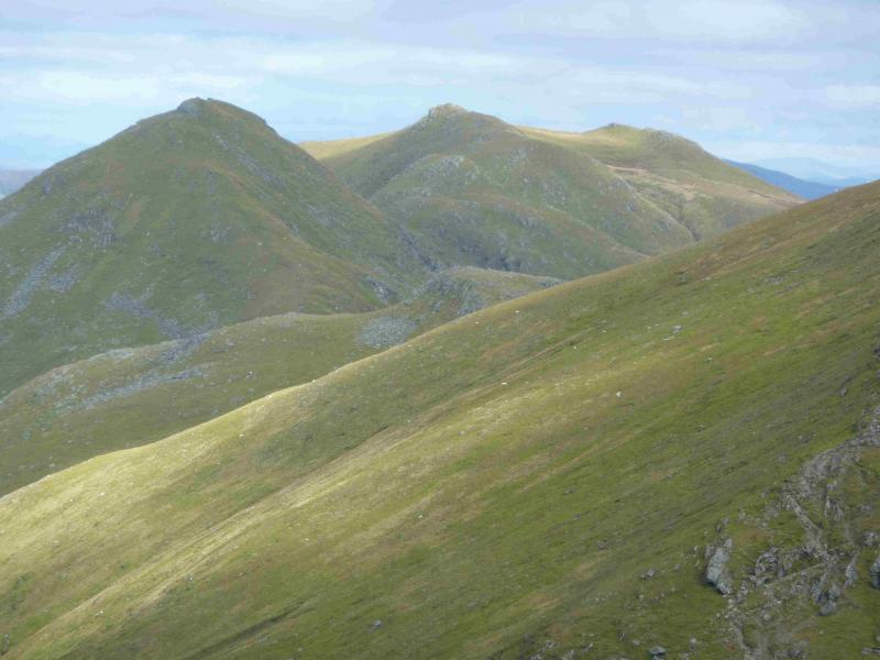
(4) Still following a good path, descend the S side of An Stuc to reach a bealach. Continue ahead, still on an obvious path and start ascending the N ridge of Ben Lawers. Be wary of a path contouring off to the left which should be ignored. Soon a minor top is reached with a medium cairn which marks the summit of Creag an Fhithich, 1047 m. This offers very good views of An Stuc but has very little drop on the Ben Lawers side.
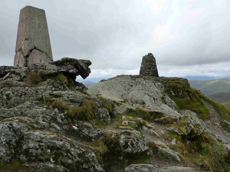
(5) Continue up to reach the stone pillar cairn and trig point which mark the summit of Ben Lawers, 1214 m. Legend has it that as, in “old money”, Ben Lawers is only 18 feet short of 4000 feet, someone tried to build an 18 foot cairn to make up the shortfall. The cairn did not last long! If you are there on a windy day you will understand why!
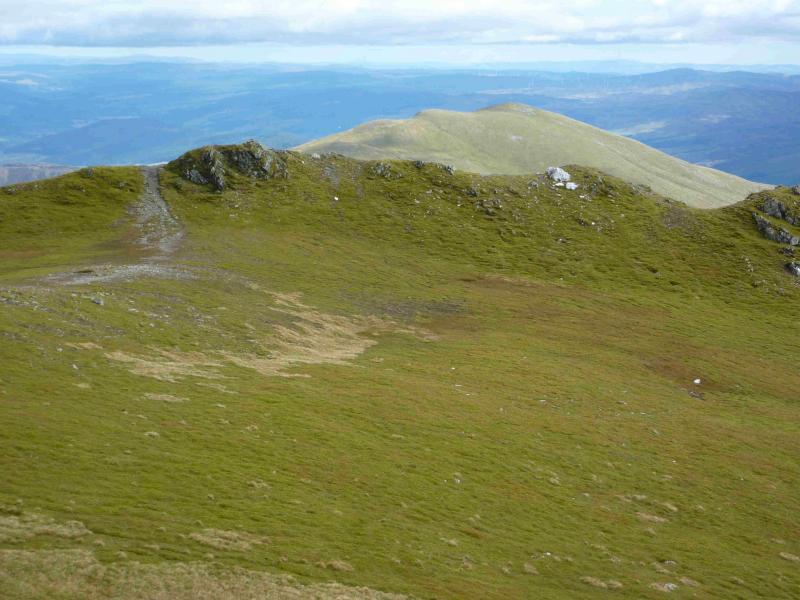
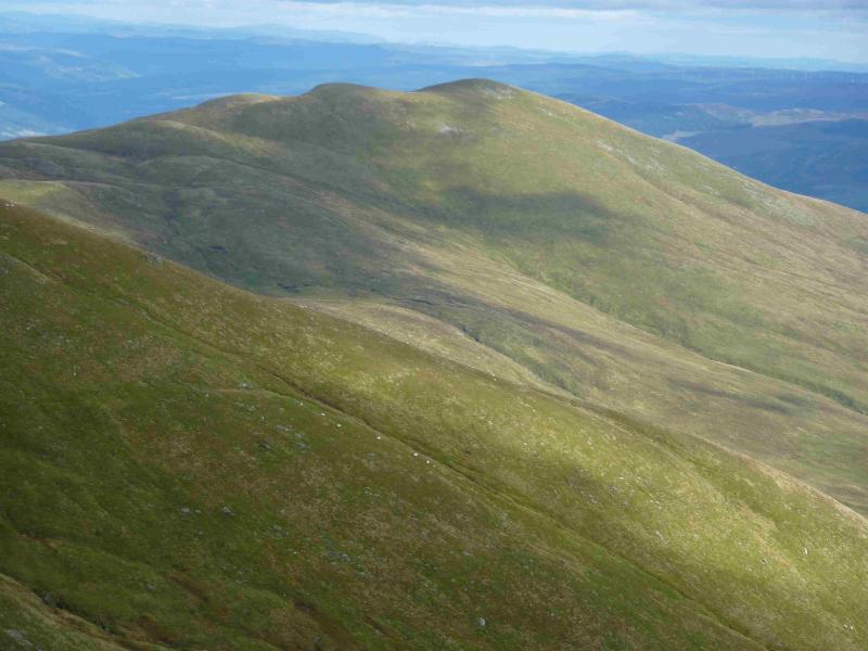
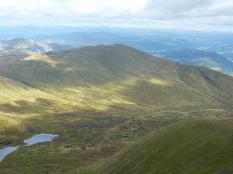
(6) Take the distinctive path going E which is following the lip of the corrie. There are some interesting rocky areas off to the right if one has time to explore. Continue down the ridge until there is a shallow dip with a top beyond. The path is hard to follow after here but continue ENE, on mainly grassy slopes, aiming for the dam at the end of the track. Once the track is reached by the dam, follow it SE to pick up the path, shown on the map, which goes down the SW side of the Lawers Burn before zig-zagging down to the old bridge which may have been encountered in the ascent. Cross the burn and follow the outward route back to the start. Don't forget to spend some money in the Ben Lawers Hotel!
Notes
(a) This walk took place on 10th September, 2013.
(b) With either a helpful driver or two cars, it is possible to walk the whole of the Ben Lawers range (7 Munros and a top). The start is the cairn at the top of the Bridge of Balgie road to the N of Lochan na Lairige. One goes first to Meall a' Choire Leith then Meall Corranaich before crossing to Beinn Ghlas then ascending Ben Lawers from where the above route can be done in reverse. The author has done this route twice on 8th August, 1994, and 12th August, 2006. The average walker should get round in about 9 – 10 hours. The author does not have enough notes from these dates to post the walk at the moment but plans to repeat it some time. In the meantime, the details are in the SMC Munros book. Unless you are a very strong walker, do not even consider the full traverse if you have to return to your starting point on the same day. The only sensible starting point for such a full traverse would be from Glen Lyon.
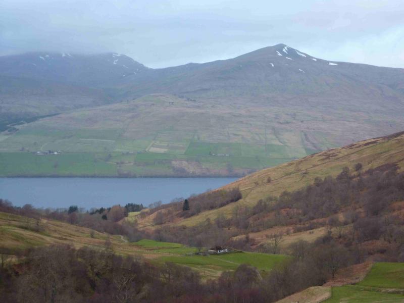
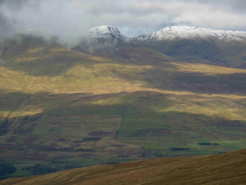
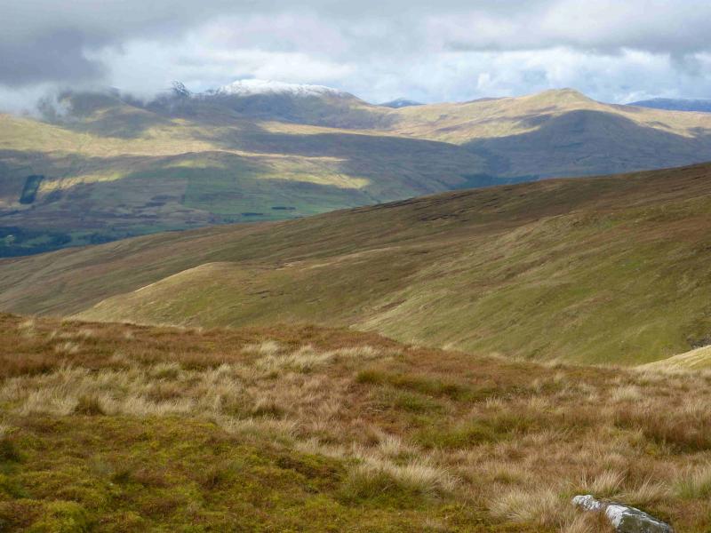
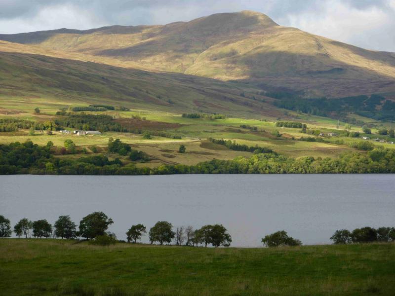
Photos - Hover over photo for caption. Click on to enlarge. Click on again to reduce.