Get Lost Mountaineering
You are here: Scotland » 02 River Tay to Rannoch Moor » Ben Lawers Range including Tarmachan Ridge and Meall nam Maigheach
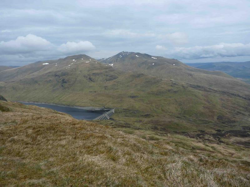
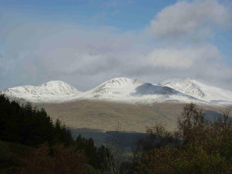
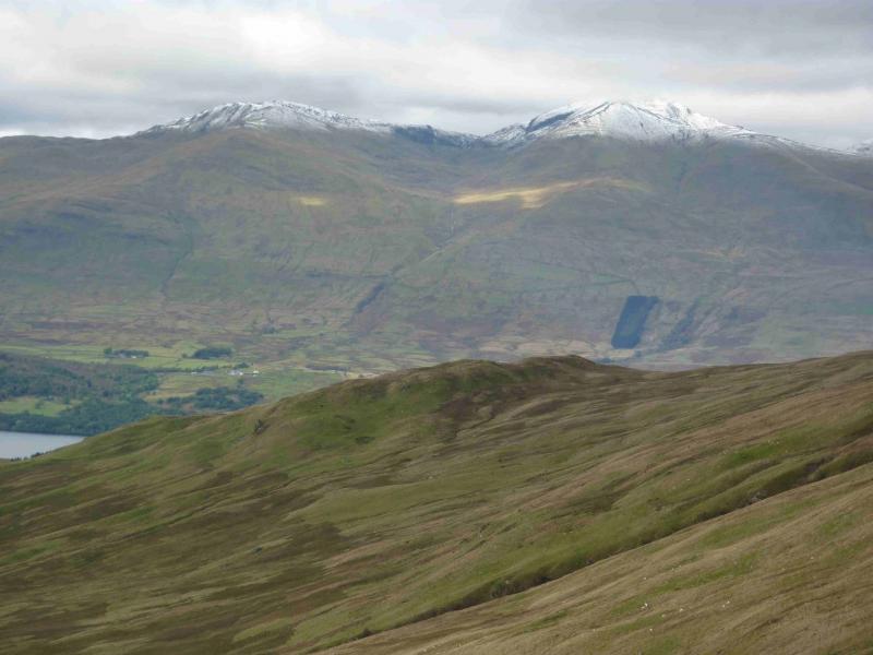
Meall a' Choire Leith, Meall Corranaich, Beinn Ghlas & Ben Lawers
Meall a' Choire Leith, Meall Corranaich, Beinn Ghlas & Ben Lawers from Bridge of Balgie road
Start/Finish
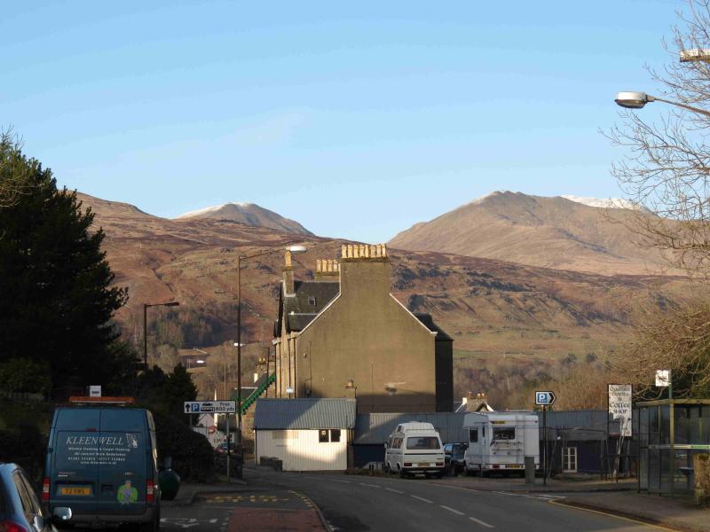
As close as possible to the cairn shown on the OS Map at NN 593 416. This is on the road to the Bridge of Balgie from the A827 Killin to Kenmore road along the north side of Loch Tay. Drive up this road, steep in places, which is not treated in the winter so may not be accessible in the colder months. Higher up there are car parks on the left for Beinn Ghlas and Ben Lawers. Continue past Lochan na Lairige. About 500 m past the northern end of the lochan, the road turns left and the cairn is just above this corner. Parking is very limited, often due to early arrivals not parking sensibly and taking up too much space. Some of the makeshift “lay bys” are deep enough to park at right angles to the road so please park sensibly. Do not park in the signed passing places.
Distance/Time
20 km About 8 – 9 hours
Peaks
Meall a' Choire Leith, 926 m, NN 612 439.
Meall Corranaiach, 1069 m, NN 615 410.
Beinn Ghlas, 1103 m, NN 625 404.
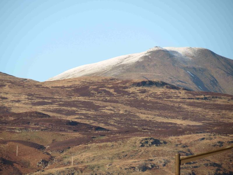
Ben Lawers, 1214 m, 635 414. OS Sheet 51.
Introduction
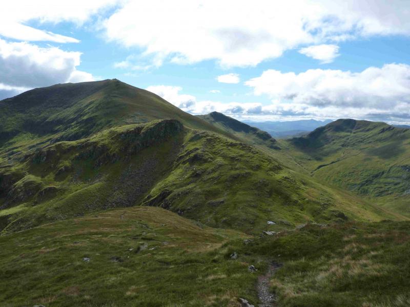
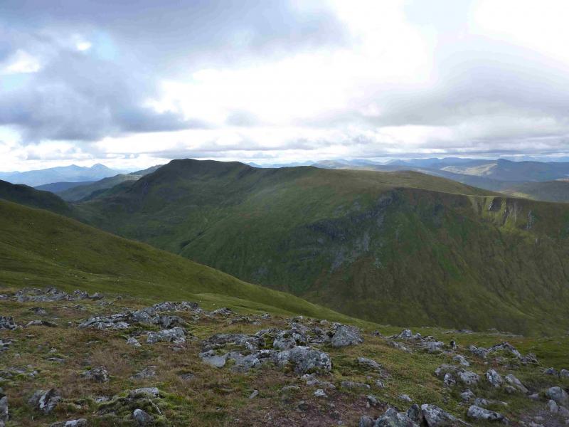
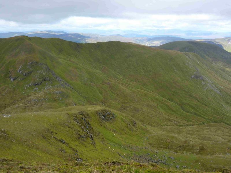
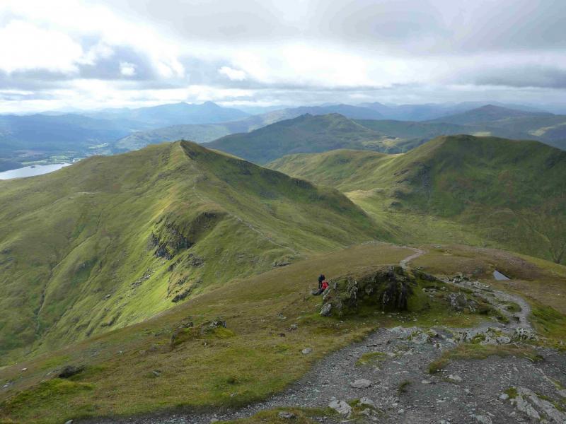
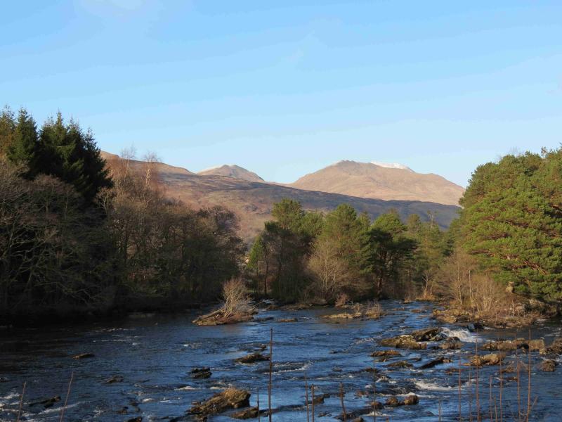
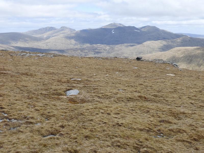
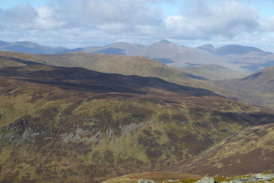
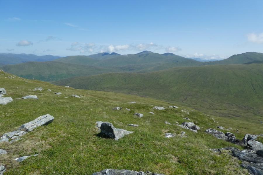
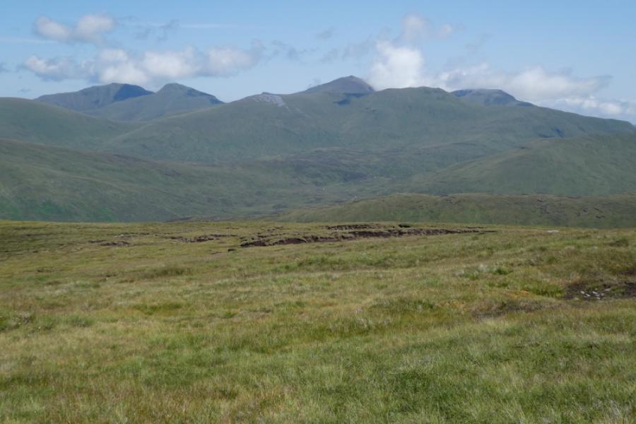
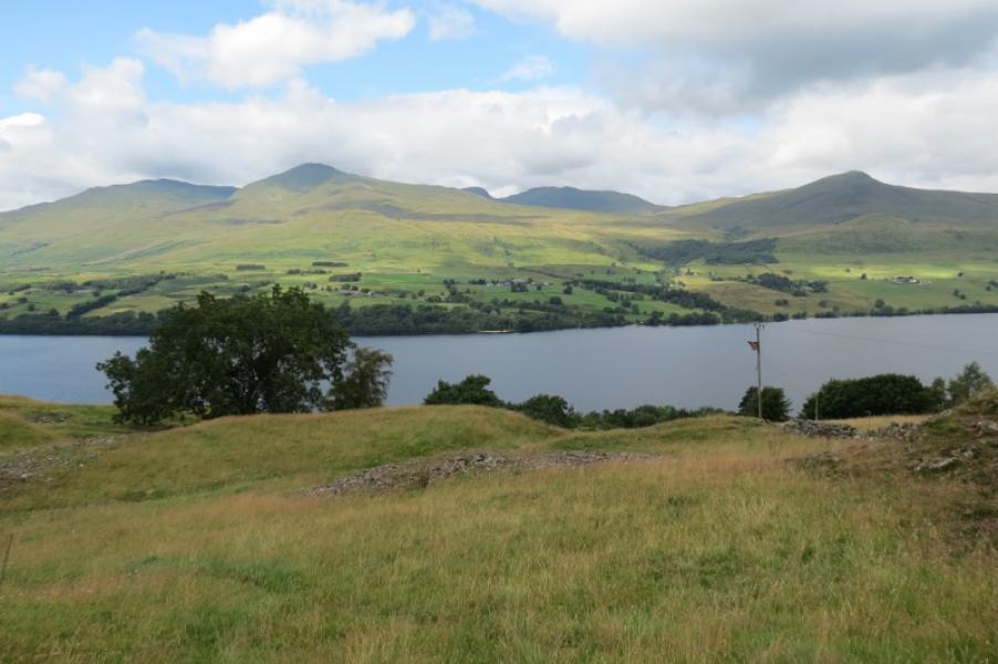
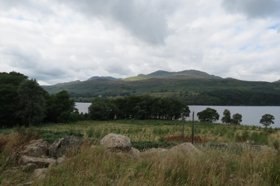
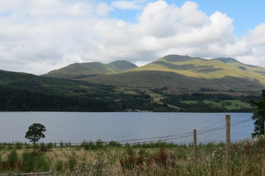
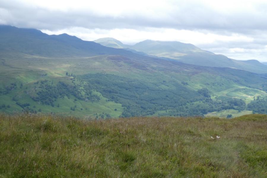
This is a fairly easy walk to navigate as there is a good path/track much of the way. However, such are the views that it would be a waste to walk this route in poor visibility and miss the very fine views. These views are to other parts of the Ben Lawers range, the Crianlarich Hills, the Glen Lyon hills, Ben Vorlich and Stuc a’Chroin and the Glen Lochay hills where Meall Ghaordie and Ben Challum are quite prominent but the finest view is to the Tarmachan Ridge across the Bridge of Balgie road. This is a walk which would benefit from two cars as there is about 5 km of road walking at the end.
Route
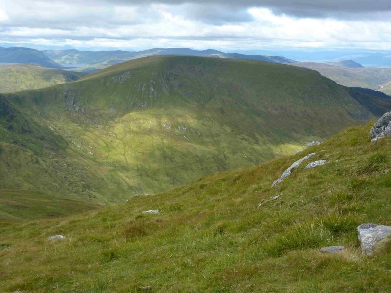
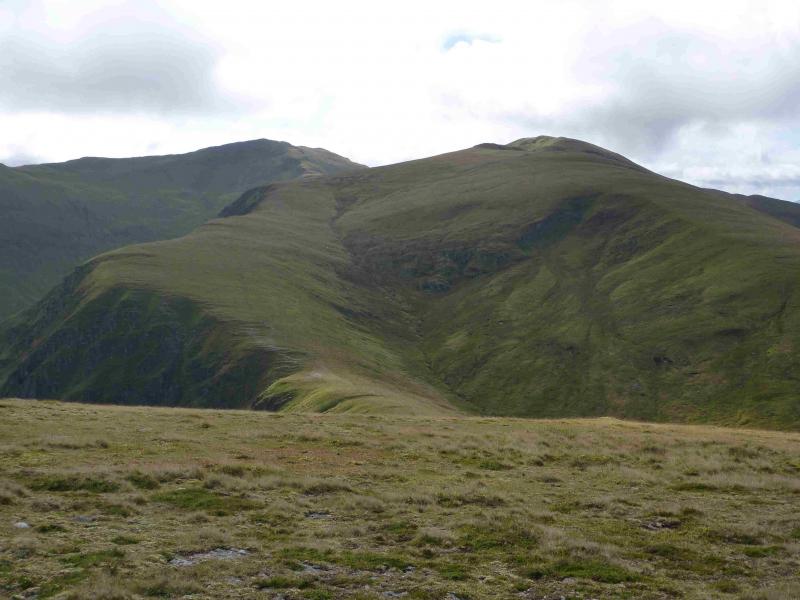
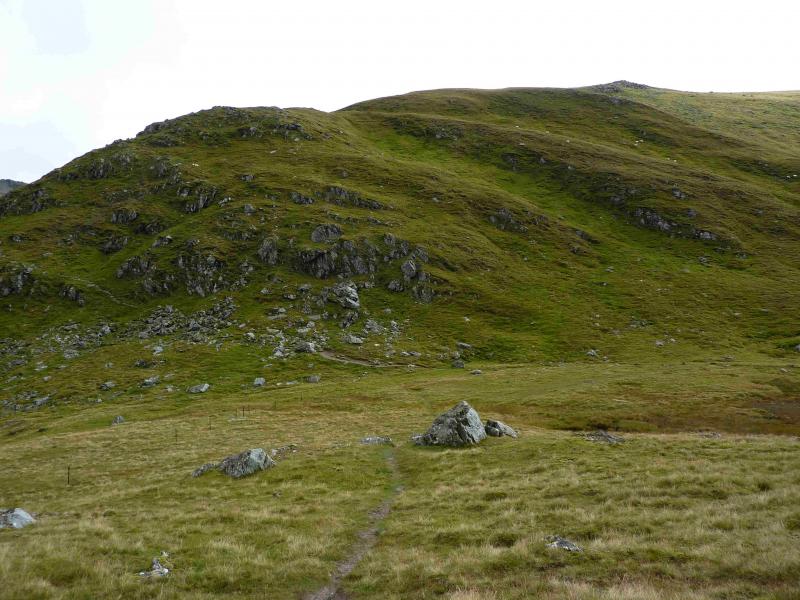
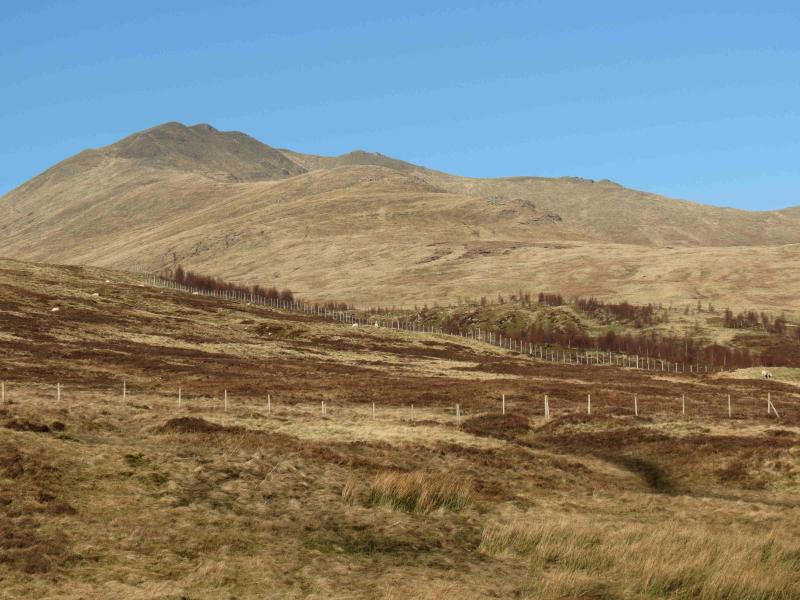
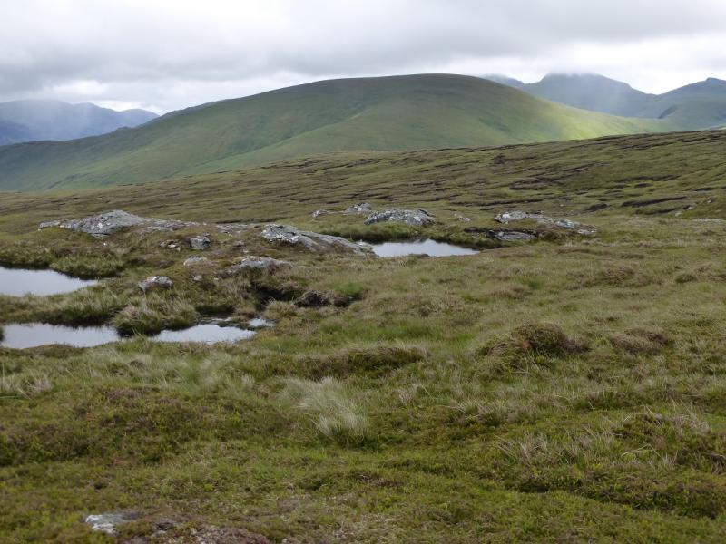
(1) From the road below the cairn, walk back towards the lochan. Almost immediately, reach the start of a rough track on the left. Follow this. It is boggy in places. When it starts to swing to the right, leave it and continue roughly NE, passing below the minor top of Meall nan Eun. There is a path but it is often quite boggy so it is often better to walk off the path. If it is clear, Meall a' Choire Leith should be visible so one can simply aim for it. The first “obstacle” is to cross the Allt Gleann Da-Eig. There is a water intake, which looks like a small dam, and this should be visible and can be aimed for. Normally the burn is easily crossed and is quite narrow so it would take exceptional weather to force a significant detour upstream. From the water intake continue NE then cross the burn flowing up Coire Gorm. Pick a way up the steepish but easy grassy slopes of Meall a' Choire Leith. Higher up, a path will be met which leads to the medium cairn which marks the summit of Meall a' Choire Leith, 926 m. If this looks too steep then look for a path which goes up the the S side of the Coire Gorm burn before crossing over higher up.
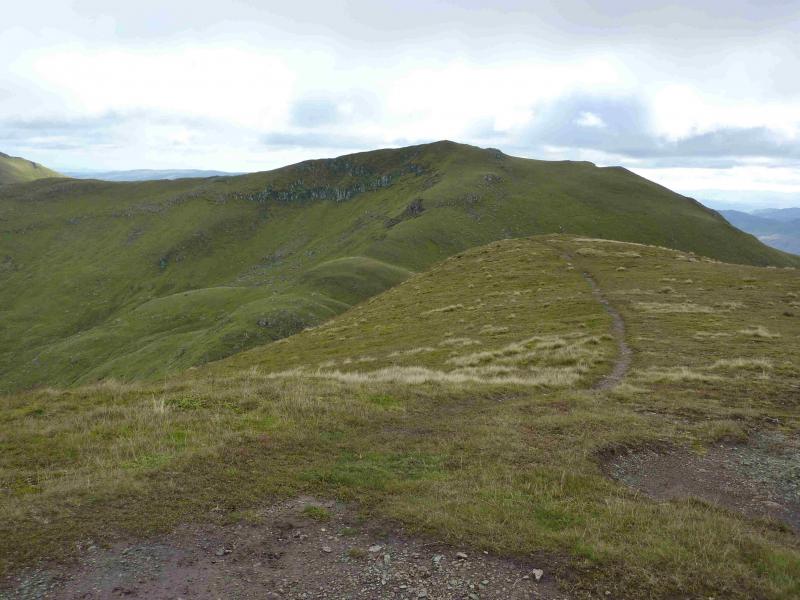
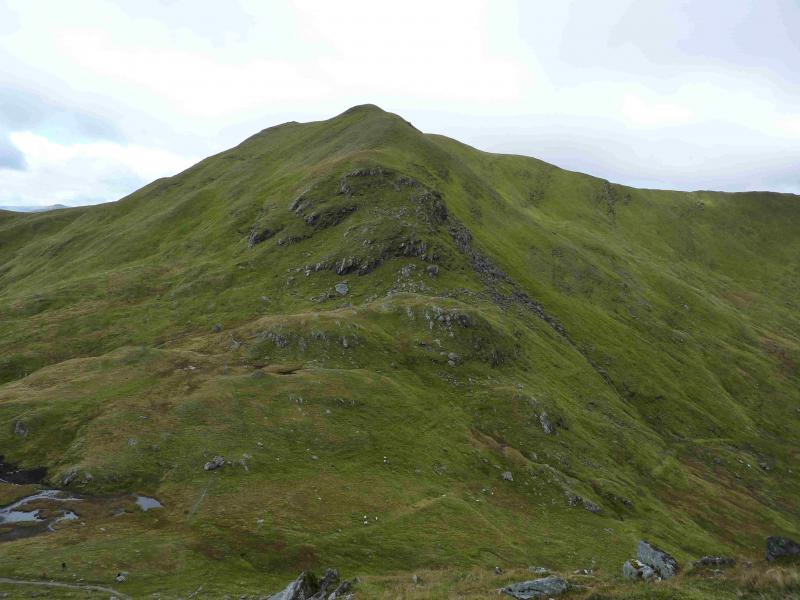
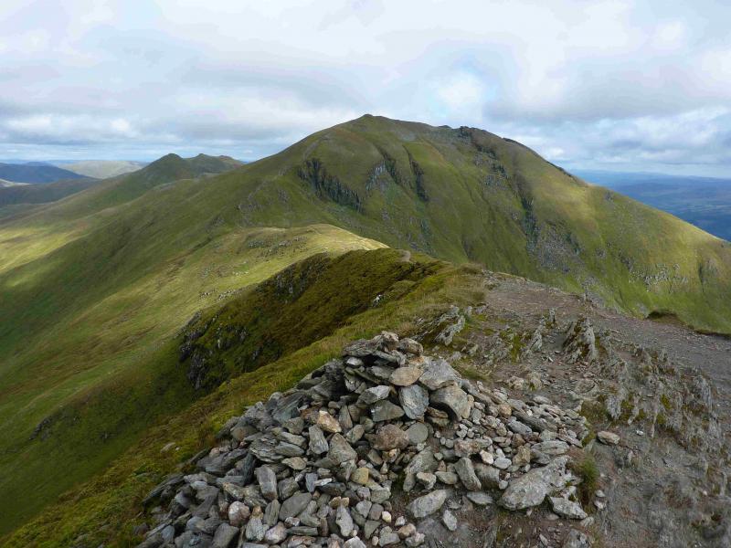
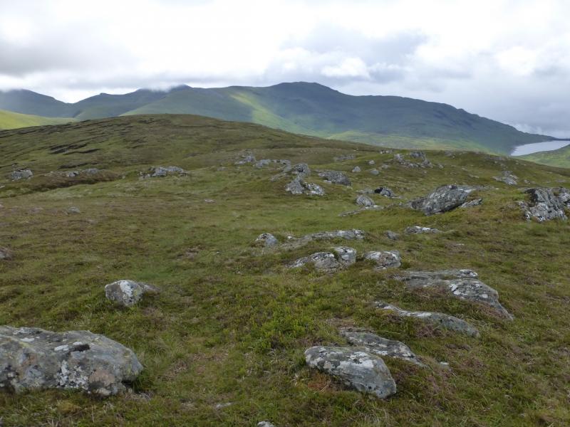
(2) The S ridge of Meall a' Choire Leith is short grass and many simply walk straight down it to join the path, well seen from above, in the bealach. To join this path higher up, walk E from the summit to the obvious edge then follow the path down. From the bealach, an obvious path, which goes all the way to the summit, follows the line of the Coire Gorm burn lower down. This is slightly to the W of the crest which could easily be followed instead. Higher up, the grassy ridge goes slightly W of S and narrows and passes over a few minor tops before reaching the medium cairn which marks the summit of Meall Corranaiach, 1069 m.
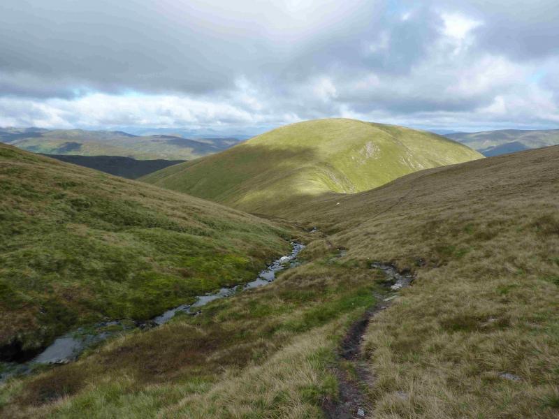
(3) Descend roughly E then SE down a very distinctive path which weaves its way down to the bealach below Beinn Ghlas. A few old fence posts shadow the path in places. If clear the path coming from the Beinn Ghlas car parks will be very obvious from above. This is the path which by passes Beinn Ghlas and climbs up on to the bealach between Beinn Ghlas and Ben Lawers; it will be used in the descent from Ben Lawers. Just before this path is reached fork right about 20 m and pick up a faint grassy path which starts ascending Beinn Ghlas. Follow this up. Lower down, it is faint in places, but higher up is very distinctive. It joins the main path up the SW ridge of Beinn Ghlas at a small cairn on a slabby outcrop which marks the summit of Beinn Ghlas, 1103 m. It is a little surprising that there is not a larger cairn.
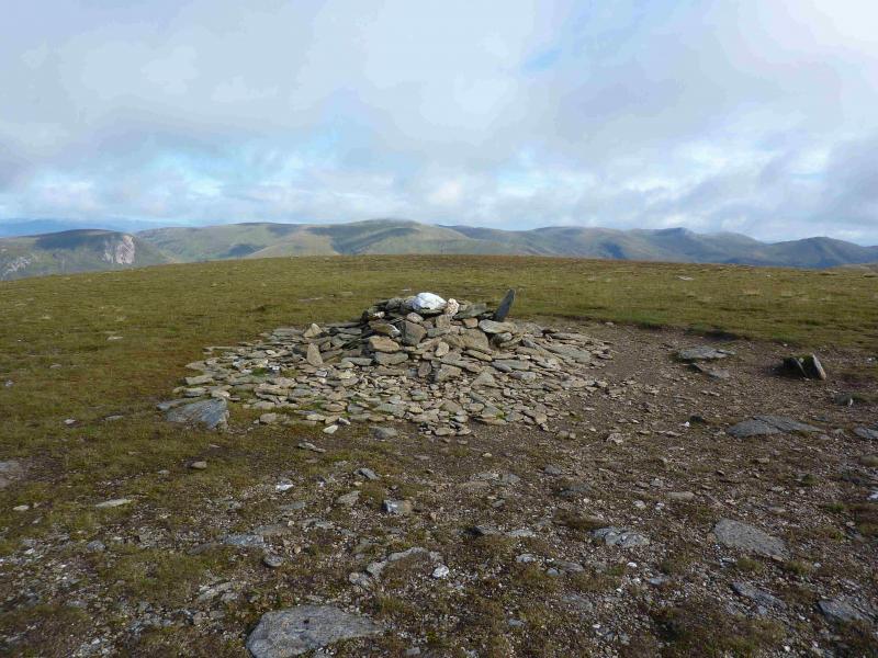
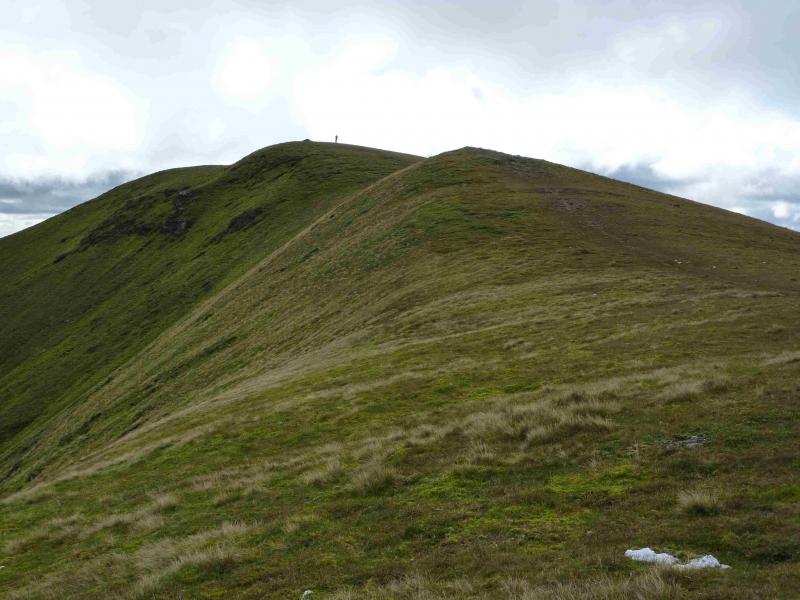
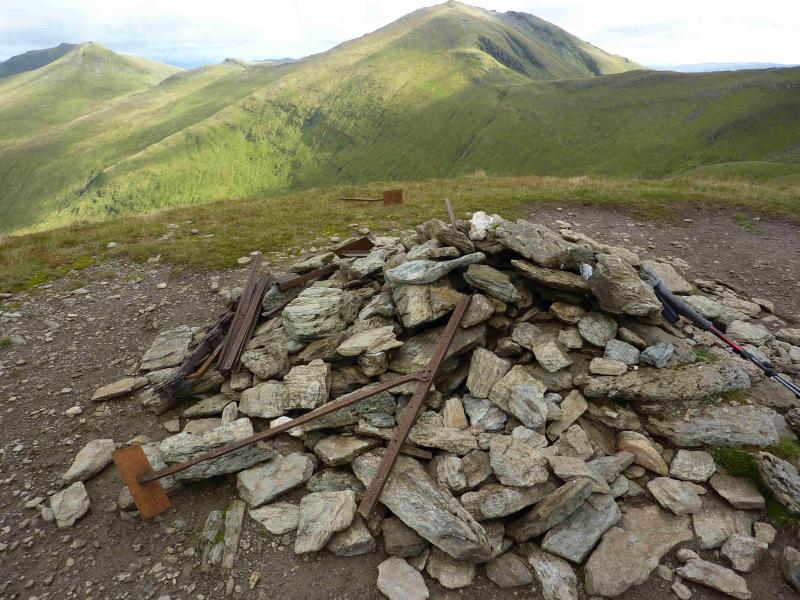
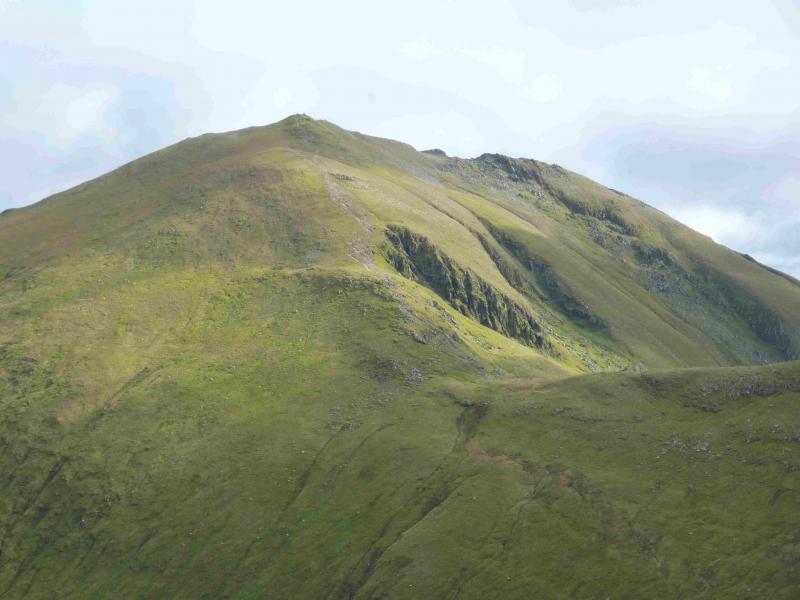
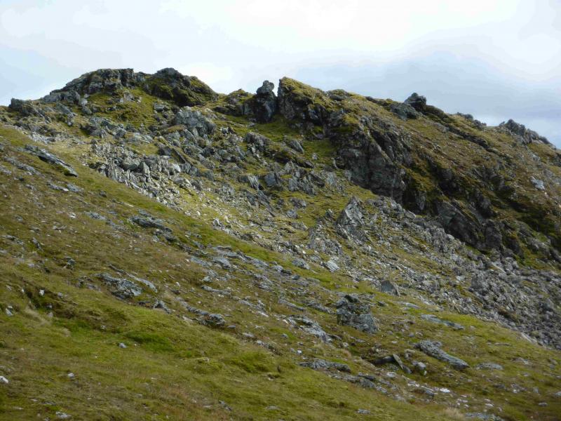
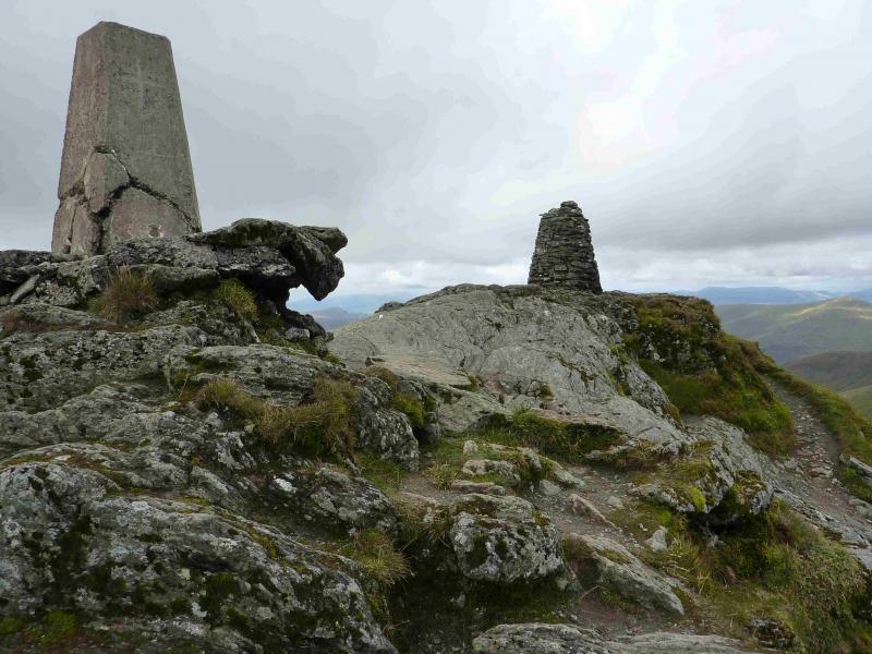
(4) The continuation to Beinn Lawers is very obvious. Follow the path which descends NE from Beinn Ghlas, along a well defined ridge to a ridge bealach, then ascend NNE then ENE up the obvious path to reach the trig point and adjacent rounded cairn which mark the summit of Ben Lawers, 1214 m. The path up Ben Lawers is eroded in places and has had much work in previous years but the volume of walkers takes its toll. There is no summit cairn in the form of a pile of stones as there is no room on what is quite a small summit. Looking E, there are some interesting rock formations not far from the summit which might be worth exploring. A well defined ridge runs E and an even more defined one runs N to the bealach below An Stuc.
(5) Retrace to the bealach below Beinn Ghlas then leave the ridge on the path which drops off to the right and passes through the gap between Beinn Ghlas and Meall Corranaich. Stay on this path which leads down to the Beinn Ghlas car park on the Bridge of Balgie road. Turn right and follow the road for about 5 km, uphill to the top of the pass, past Lochan na Larige back to the car.
Notes
(a) This walk took place on 14th September, 2013.
(b) A possible alternative to walking back to the Bridge of Balgie road then walking 5 km along it is to re-ascend Meall Corranaich and walk down its SW then NW ridge back to the track/path used at the start. This alternative has not been checked but is well described in the SMC Munro's Guide.
(c) With either a helpful driver or two cars, it is possible to walk the whole of the Ben Lawers range (7 Munros and a top). The start is at the same cairn at the top of the Bridge of Balgie road to the N of Lochan na Lairige. The first part of the route is as above, going first to Meall a' Choire Leith then Meall Corranaich before crossing to Beinn Ghlas then ascending Ben Lawers. Descend the path on the well defined N ridge before ascending An Stuc (its descent needs great care down a very steep and loose gully) then continuing over Meall Garbh and Meall Greigh before descending down to the Lawers Burn where a good path leads down to the road slightly to the E of the Ben Lawers Hotel. The author has done this route twice on 8th August, 1994, and 12th August, 2006. The average walker should get round in about 9 – 10 hours. The author does not have enough notes from these dates to post the walk at the moment but plans to repeat it some time. In the meantime, the details are in the SMC Munros book. Unless you are a very strong walker, do not even consider the full traverse if you have to return to your starting point on the same day. The only sensible starting point for such a full traverse would be from Glen Lyon.
Photos - Hover over photo for caption. Click on to enlarge. Click on again to reduce.