Get Lost Mountaineering
You are here: Scotland » 02 River Tay to Rannoch Moor » Glen Lochay Hills
Meall Glas & Sgiath Chuill
Meal Glas & Sgiath Chuill from Glen Lochay
Start/Finish
Drive up Glen Lochay from Killin to the new car park below Kenknock. This is about 1 km before the old car park which was beyond Kenknock an dis not now accessible.
Distance/Time
18 km About 8 hours
Peaks
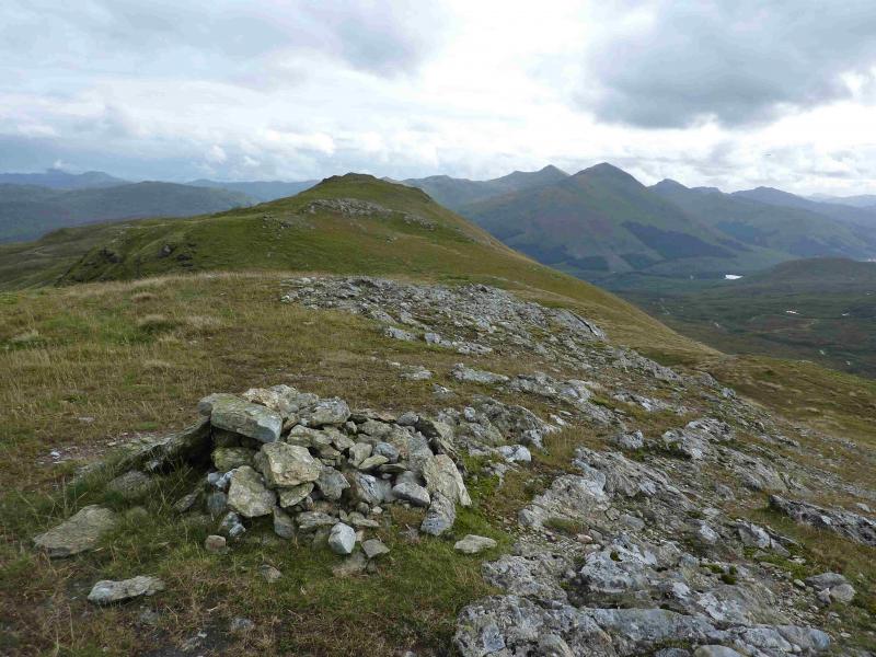
Meal Glas, 959 m, NN 431 321.
Beinn Cheathaich, 937 m, NN 444 326.
Sgiath Chuil, 921 m, NN 462 317.
Meall a' Churain, 918, NN 463 325. OS Sheet 51.
Introduction
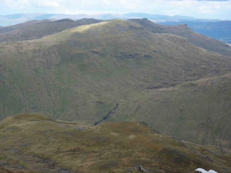
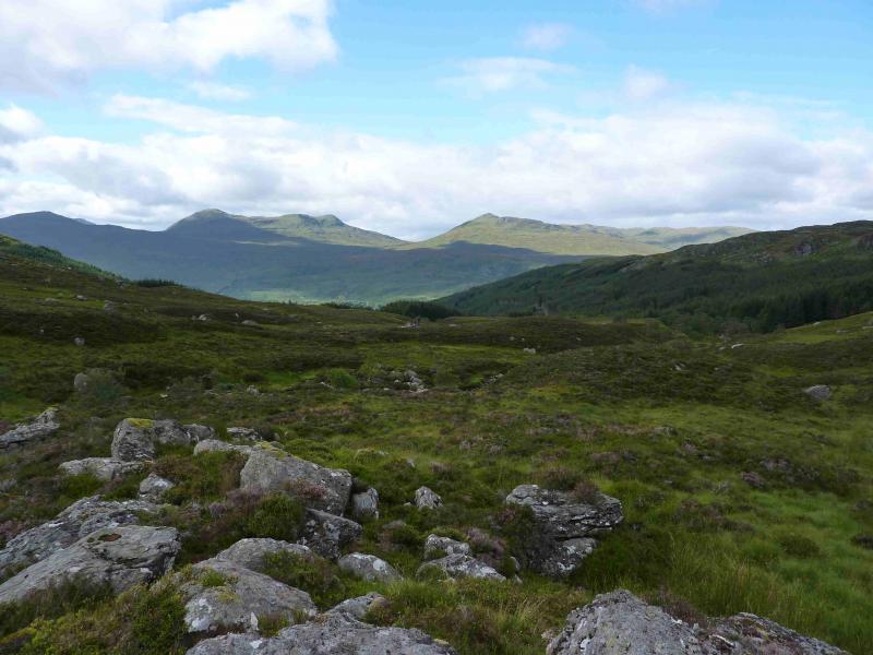
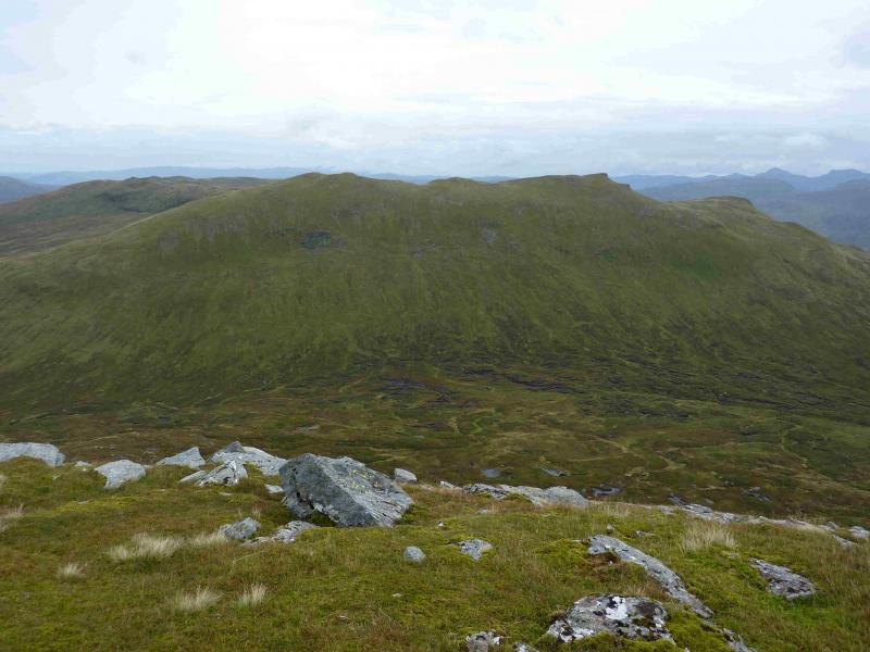
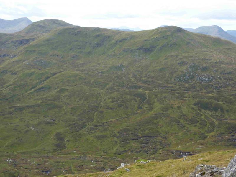
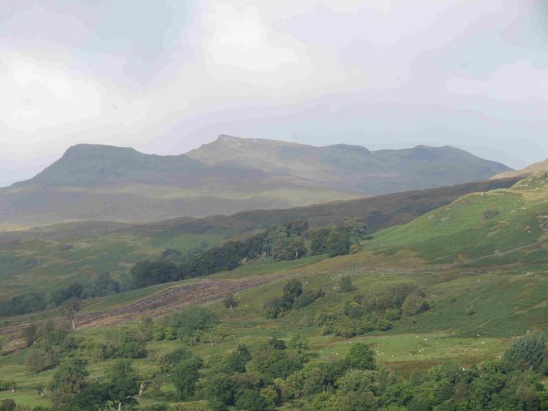
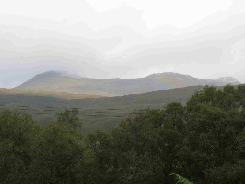
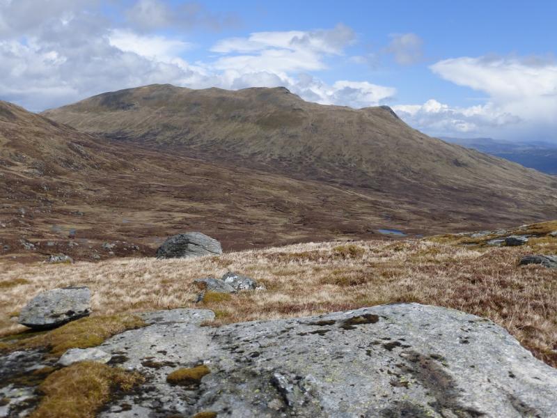
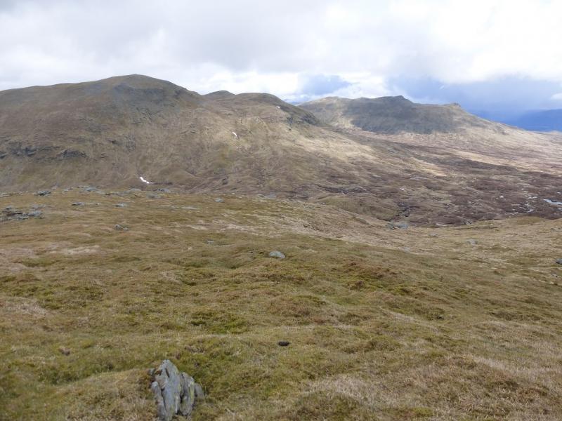
This is a tough walk with a lot of pathless terrain and some steep slopes. Navigation would be quite testing in mist. Nevertheless there are fine views in all directions including Ben Challum, Creag Mhor, Beinn Heasgarnich, Meall Ghaordie, other Glen Lochay hills, the Crianlarich hills and even Ben Lui. Note that the bridge at NN 453 356, near Lubchurran is no longer there which means the River Lochay has to crossed at the track ford. This may be a problematical river crossing especially in a wet spell. If it is not possible to use the Lubchurran route then the only alternative is to cross a bridge further up Glen Lochay then look for a route up the N/NW ridge of Meal Glas. Some hints on how to cross the River Lochay and keep your feet dry are given in the notes below.
Route
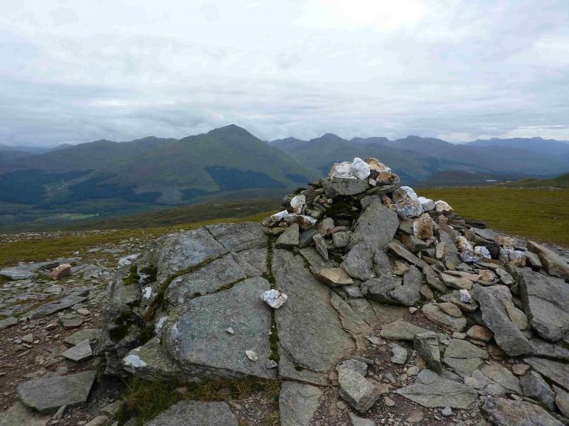
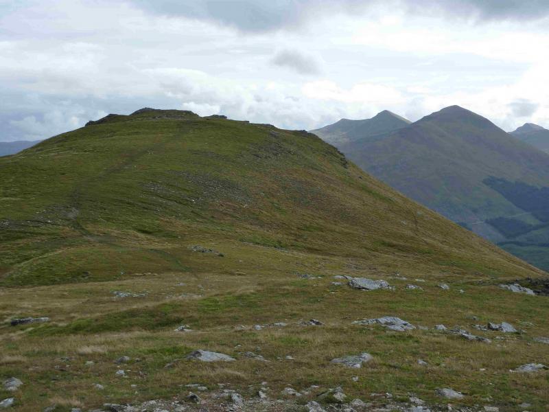
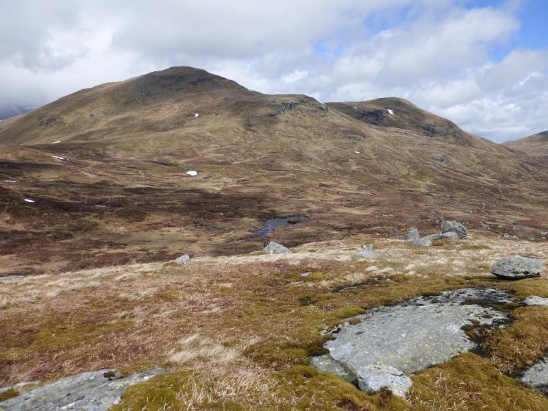
(1) Walk W along the track up Glen Lochay until the branch goes to a ford across the river. Cross the river and follow the track, steep in places, to its end on the N ridge of Beinn Cheathaich. From here, head SW across the grassy corrie then ascend steeper slopes on to the ridge between Beinn Cheathaich and Meal Glas. A path then leads up to the medium cairn which marks the summit of Meal Glas, 959 m.
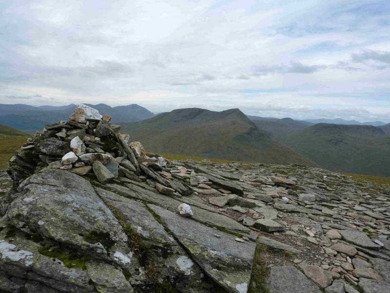
(2) Retrace along the ridge, crossing a dip and following the path, to reach the medium cairn and trig point which mark the summit of Beinn Cheathaich, 937 m.
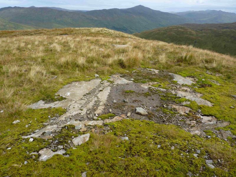
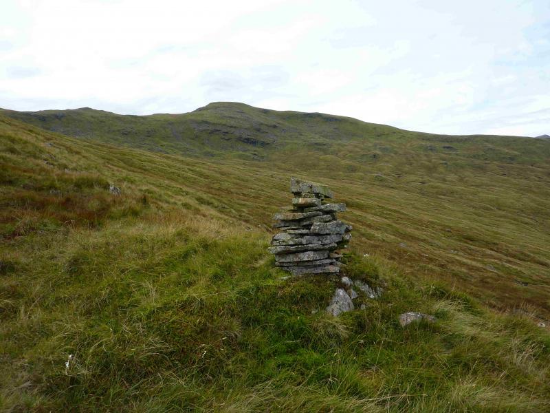
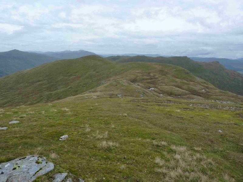
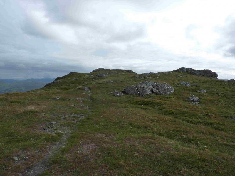
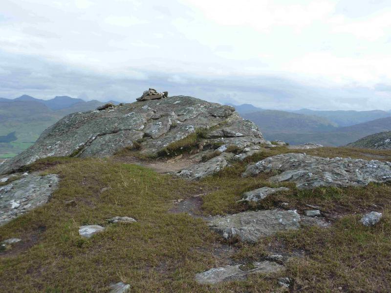
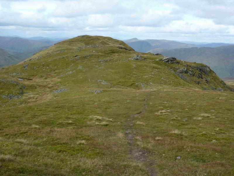
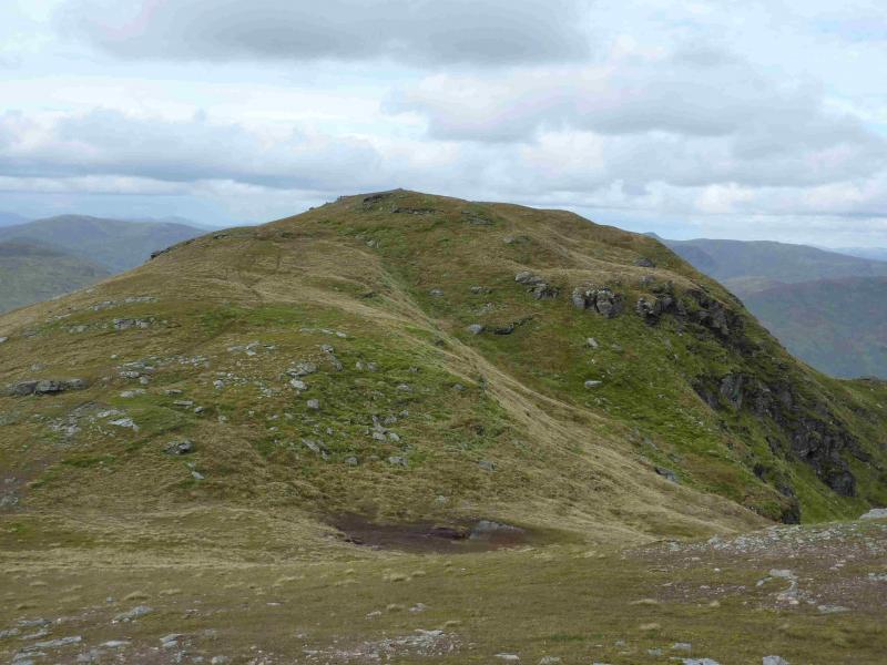
(3) There is little in the way of paths between Beinn Cheathaich and Sgiath Chuill but the ground is not too bad although there are some steep sections. From Beinn Cheathaich, start descending the N ridge (faint path) then cut back right to avoid the crags on its E flank. Continue down to the long broad and boggy bealach then make a rising traverse SE to reach the crest just to the N of Sgiath Chuill. Follow the crest path S to the medium cairn which marks the summit of Sgiath Chuil, 921 m. The cairn is on a small outcrop with steep ground beyond.
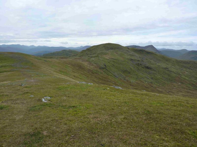
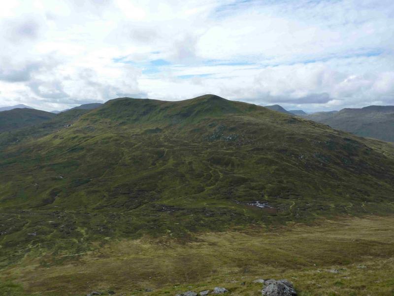
(4) Walk N following the path along the crest which has an uncairned minor top about halfway. Reach a top with a small cairn which marks the summit of Meall a' Churain, 918 m. There is another cairned top about 50 m further which seems to be lower but is on the route anyway.
(5) Descend the mainly grassy N ridge. There is a path although it is not always obvious. If it is elusive, you are probably too far to the right. If it is clear, the lower part of the path is more distinctive. Once found, the path can be followed almost to just before the minor top shown at about NN 461 346. Go NE here and pass below the top, heading for the Allt Innisdaimh, the burn to the E. Cross this above where it goes into a tree lined gorge – the trees are obvious but the gorge isn't. Walk down the E bank until a path is met which goes roughly E above the line of trees. Follow this around the right hand, E, end of the trees and reach a gravel track (with a locked gate) and a deer fence with a stile over it. Cross the stile to get to the other side of the gate and follow the track ENE. Immediately, there is a weight limit sign for vehicles and hydro/water workings to the right. Either follow the track which zig-zags down to a bridge over the River Lochay then joins the outward track. Turn right on the track and walk back down the track then road to the car park. The descent can be shortened by going directly downhill from the weight limit sign. Soon the pipeline is followed and the track reached on a bend.
Notes
(a) This walk took place on 13th September, 2013.
(b) Possible ways of crossing the River Lochay with dry feet:
(i) Wear long or Yeti gaiters
(ii) If wearing short gaiters, put on waterproof trousers and fasten them as tight as possible around the ankles then cross as quickly as possible.
(iii) Carry some strong bin liners and use them to simulate wellington boots.
(iv) Carry a light pair of sandals, which attach at both ends of the foot (so don't use flip flops). Carry a very small towel as well. Put the sandals on. Cross over then dry feet and put boots back on.
Photos - Hover over photo for caption. Click on to enlarge. Click on again to reduce.