Get Lost Mountaineering
You are here: Scotland » 09 Glen Roy to the Monadh Liath and Strathspey » Monadhliath & Corrieyairack
Geal Charn from Spey Dam via Glen Markie and Beinn Sgiath
Geal Charn from Spey Dam via Glen Markie and Beinn Sgiath
Start/Finish
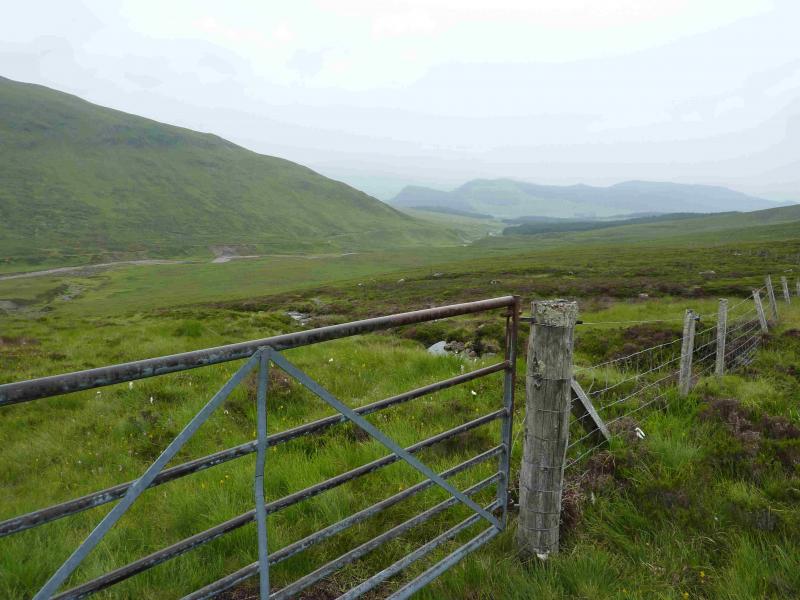
The Spey Dam about 2 miles down the minor road which runs east from Laggan Bridge on the A86 Spean Bridge to Newtonmore road. The track to the dam goes straight ahead when the road swings left to cross the river. There is space for parking close to the dam. If that is not available, stay on the road, cross the river and park just after the first right bend on the right of the road by a small gate. Do not park in the passing place near the bridge.
Distance/Time
17 km About 6 hours
Peaks
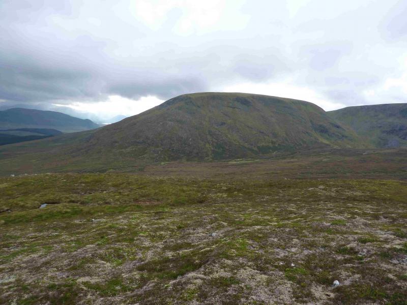
Geal Charn, 926 m, NN 561 988.
Beinn Sgiath, 887 m, NN 567 981. OS sheet 35.
Introduction
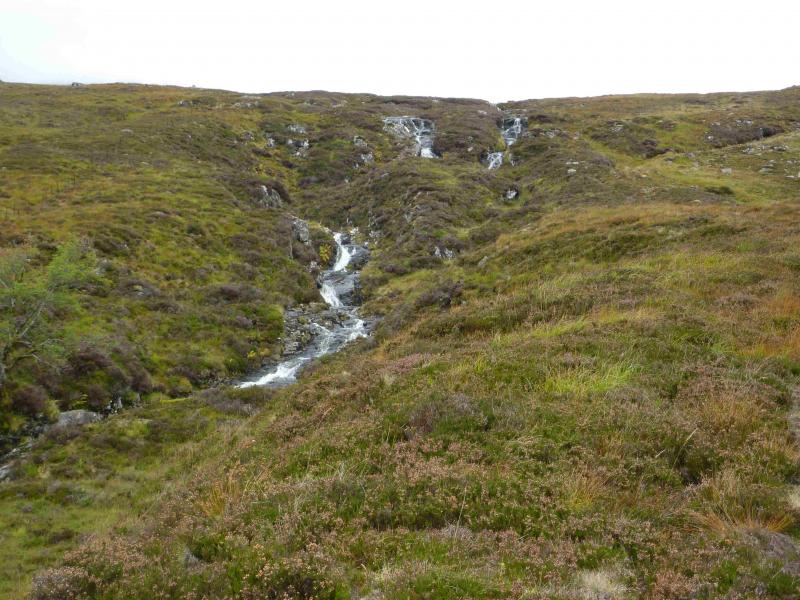
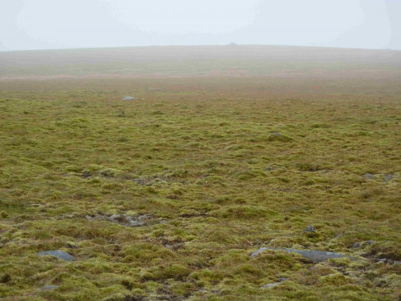
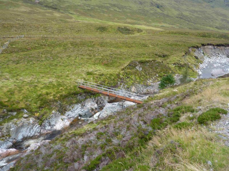
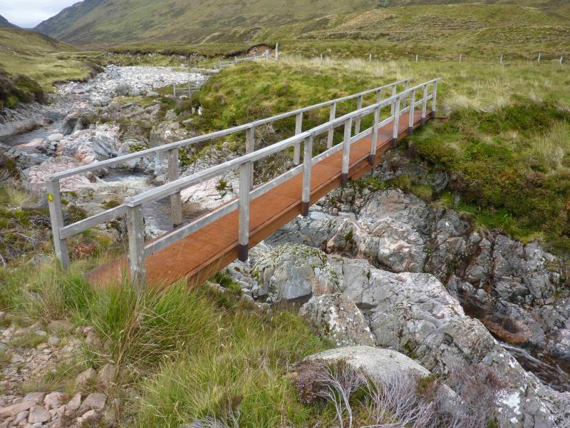
This is a high moorland hill which gives an easy day although the going can be very boggy on the approach and lower slopes. The Markie Burn can be difficult to cross in spate. If this is the case, there is a footbridge about 500 m upstream from where the burn would normally be crossed. This is difficult to spot from distance but is just behind the only trees seem upstream. The bridge is where the track coming down the glen drops to the side of the burn and is at about NN 588 982 (not checked with GPS). The ascent of Beinn Sgiath is steep and rocky in places. This is the best route from Glen Markie.
Route
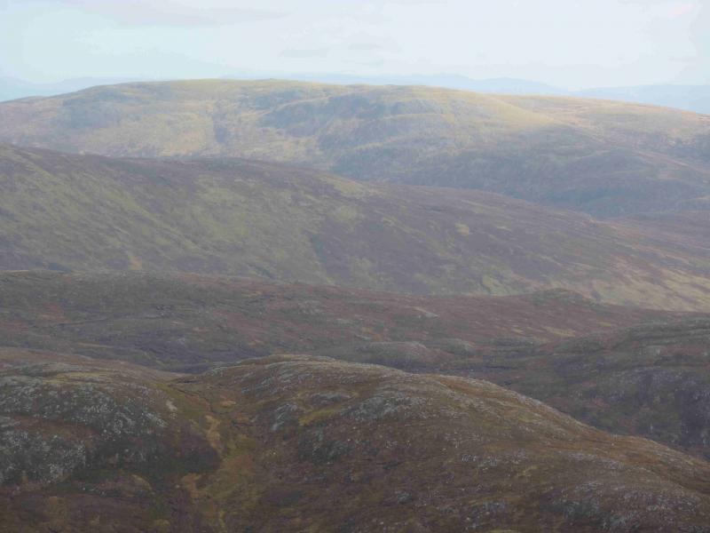
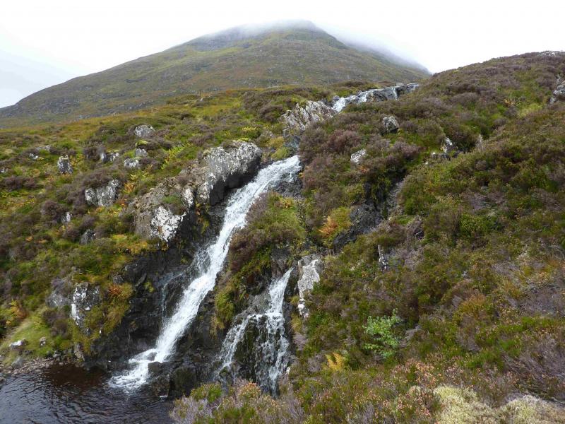
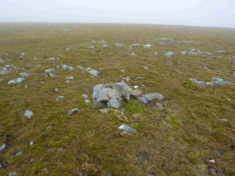
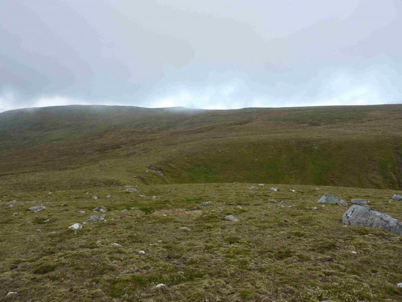
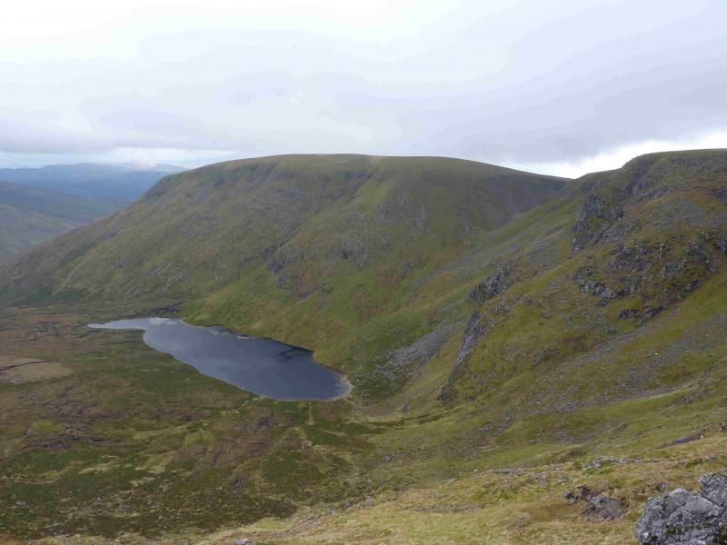
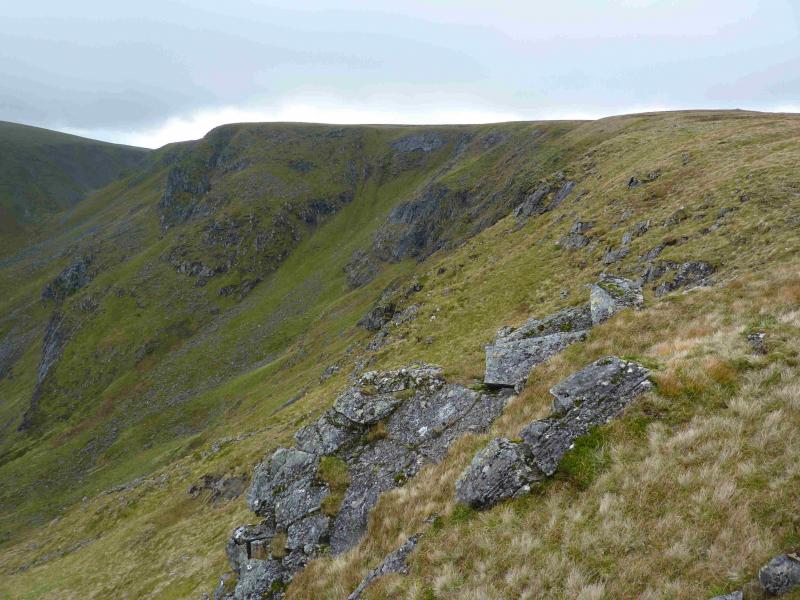
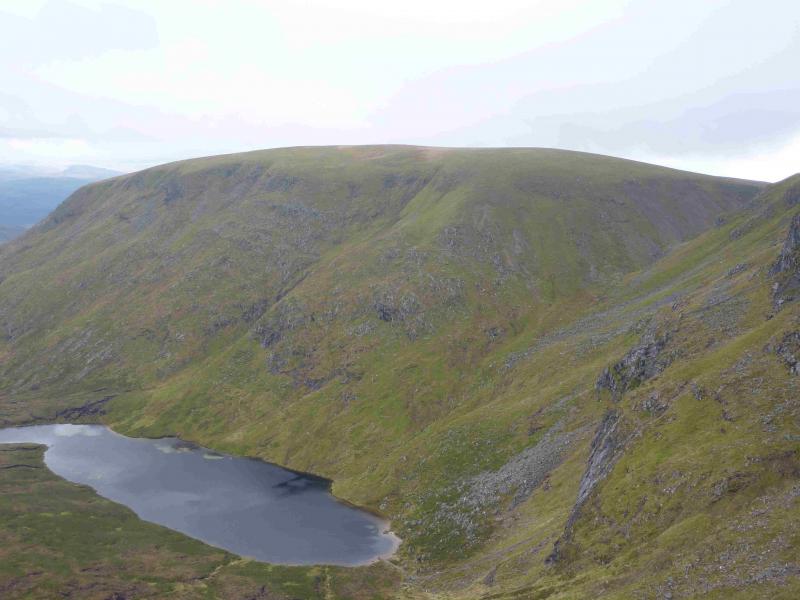
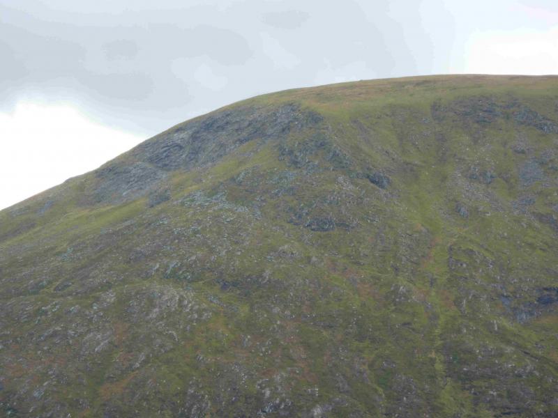
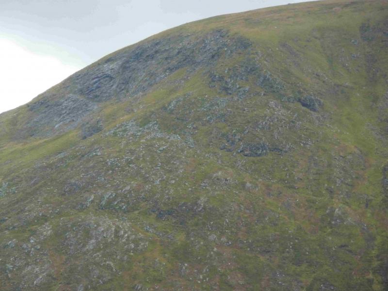
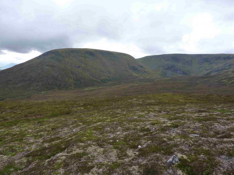
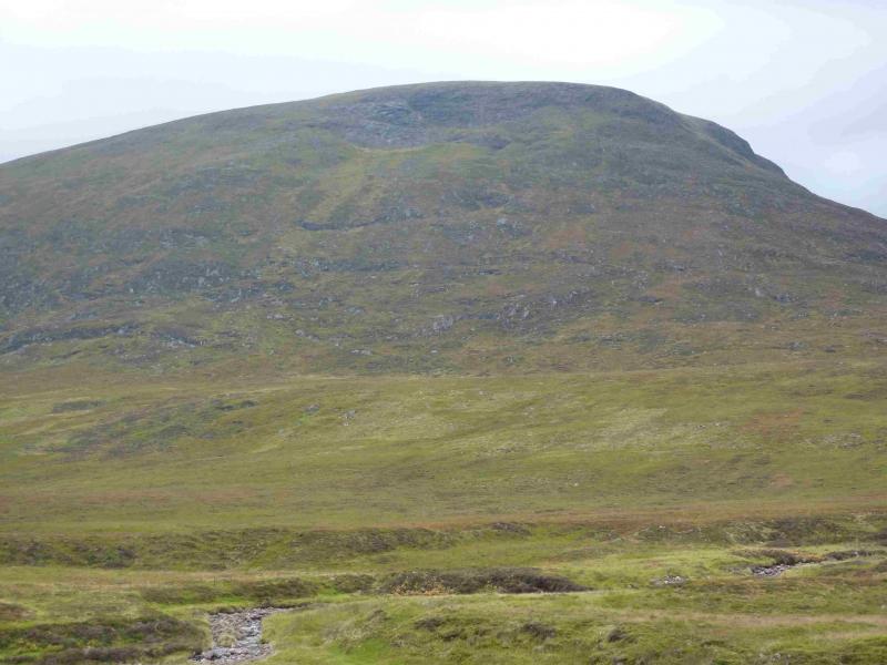
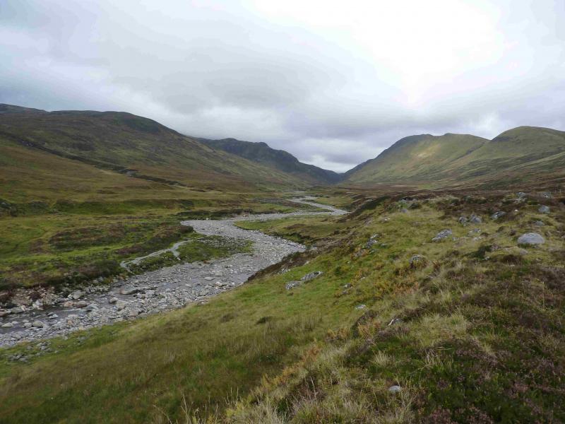
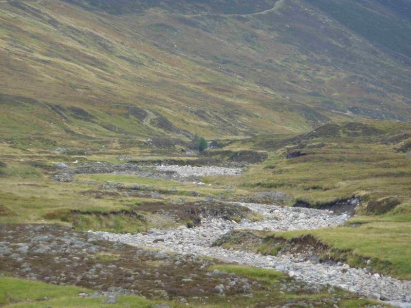
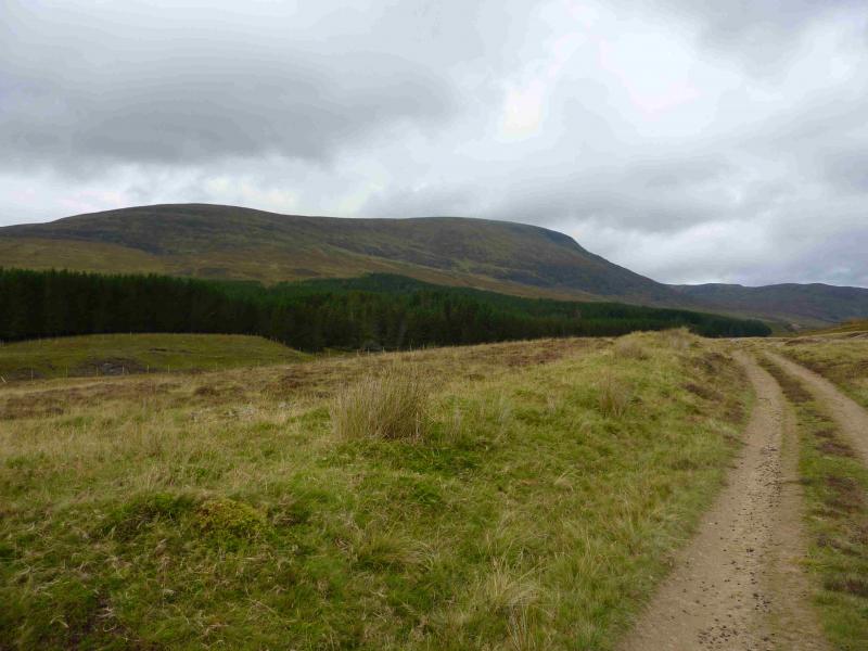
(1) Walk up the obvious track heading N up Glen Markie. After about 4 km, the tributary known as the Piper's Burn is equally obvious which flows eastwards into the Markie Burn. Ignore any small cairn and continue a little further until a rough track leaves the main track and slants down to diagonally cross the burn. Once across, leave this track and locate a path shadowing the Piper's Burn up towards a waterfall. Follow this path which is quite distinct in places and go through a gate. Go W across rough moorland, aiming for the obvious corner ridge of Beinn Sgiath. Try to stay on the crest of the corner and carefully pick a way up the steep grassy and rocky slopes. Higher up, it steepens slightly but try to keep to the crest. If you drift left on to the Glen Markie side, you are likely to find yourself amongst steep wet and slippery slabs so it is better to drift slightly right. Soon emerge on a grassy and gently sloping plateau where there is virtually no rock. Walk roughly WNW and soon reach a medium cairn which probably marks the summit of Beinn Sgiath, 887 m, NN 567 981. There is another cairn about 200 m further along which is smaller and seems lower. In clear weather it is worth walking along the edge overlooking Lochan a' Choire.
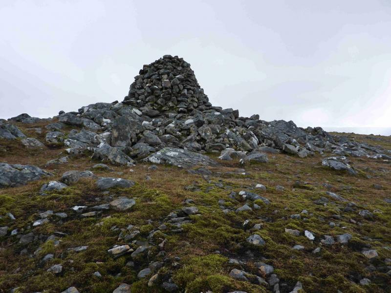
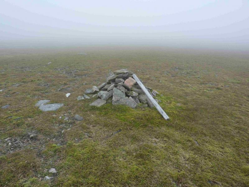
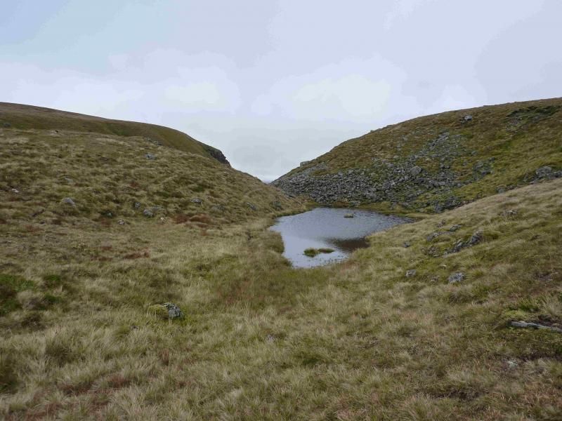
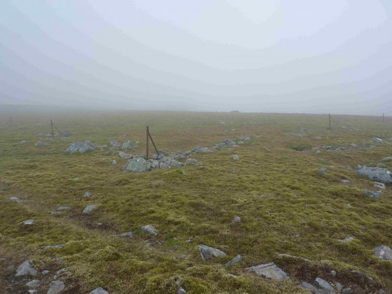
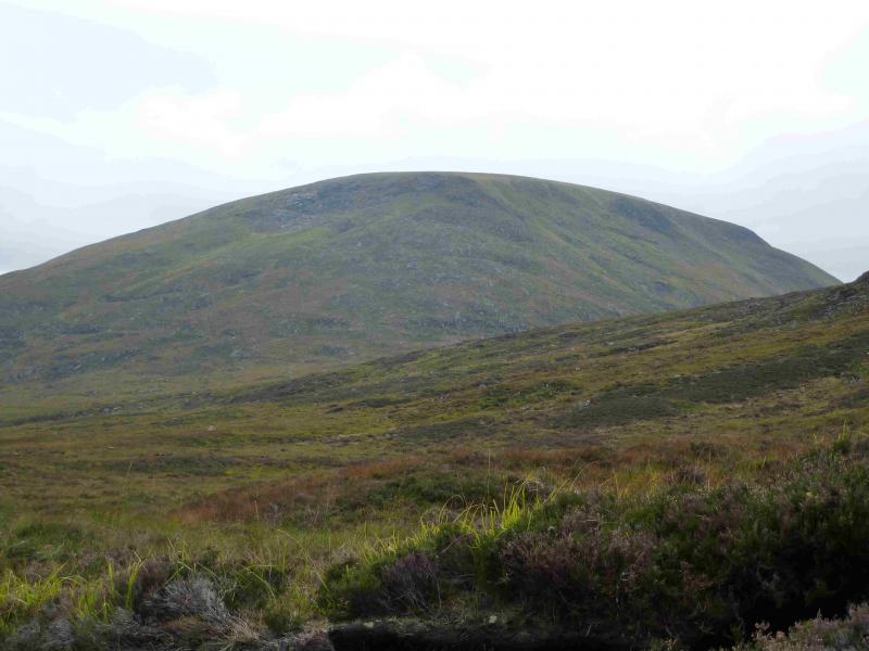
(2) Continue along the edge of the plateau and reach the small bealach between Beinn Sgiath and Geal Charn where there is a small lochan. Below this, to the E, is an even deeper gap with another lochan. From the bealach a track ascends Geal Charn and passes to the E of the summit which will be obvious in clear weather. In mist, follow the track until it reaches the corner of some old fence posts. From here walk on a bearing of 250 degrees for about 80 m to reach a very large cairn, about 3 m high which marks the summit of Geal Charn, 926 m.
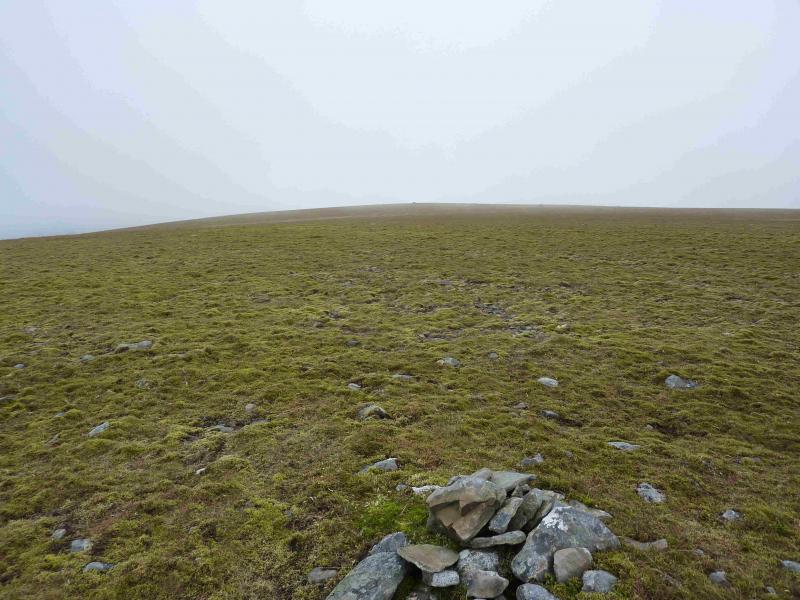
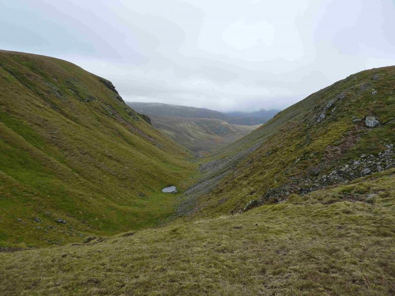
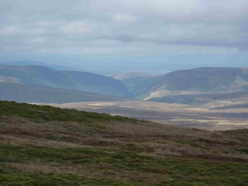
(3) In clear summer conditions, the path going N from the summit is obvious. The track and fence posts could also be followed but they soon fork off left so be careful. The best way is to follow the obvious edge on the E side of the ridge, which offers good views of Beinn Sgiath and Lochan a' Choire, where there is a path set slightly back from the edge. Follow the ridge down as it curves NE then E and contour across to the unnamed ridge to the N of Lochan a' Choire and the Piper's Burn. There is no more than a hint of a path on this section but the ground is easy. Gain the ridge on a path and follow the easy grassy ridge SE along its crest. From the last top, either walk off directly if heading for the bridge or go S, down slightly easier slopes, if the bridge is not needed. Once across the Markie Burn, retrace the outward route.
Notes
(a) This walk took place on 27th September, 2013.
(b) An alternative walk is to ascend by the above route then descend to Garva Bridge. This route is described separately as the Geal Charn Full Traverse.
Photos - Hover over photo for caption. Click on to enlarge. Click on again to reduce.