Get Lost Mountaineering
You are here: Scotland » 06 Drumochter to Glen Shee » Tarf & Tilt Hills to Glen Tromie
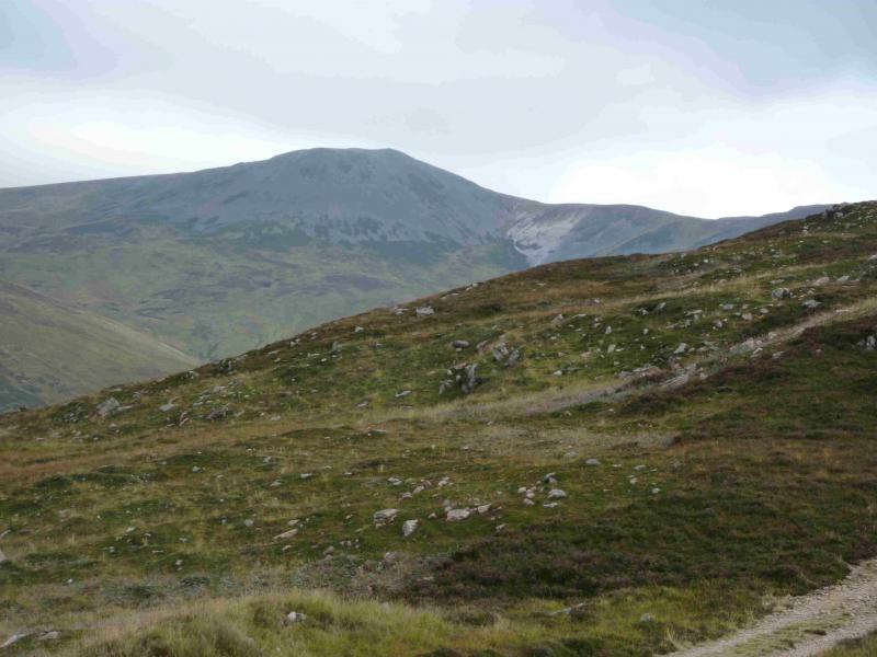
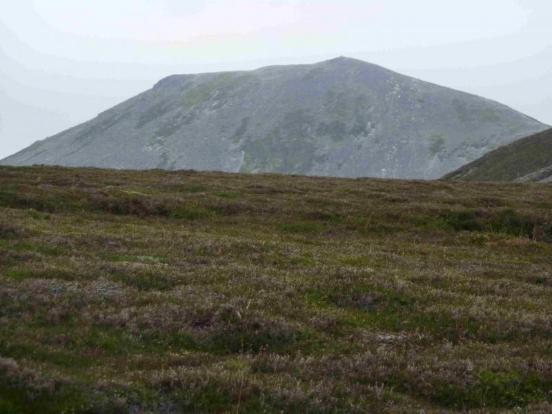
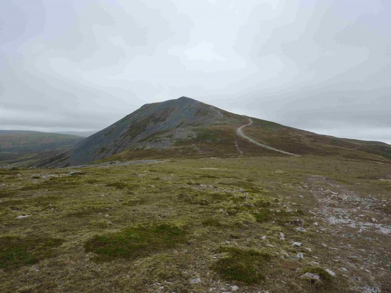
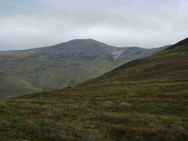
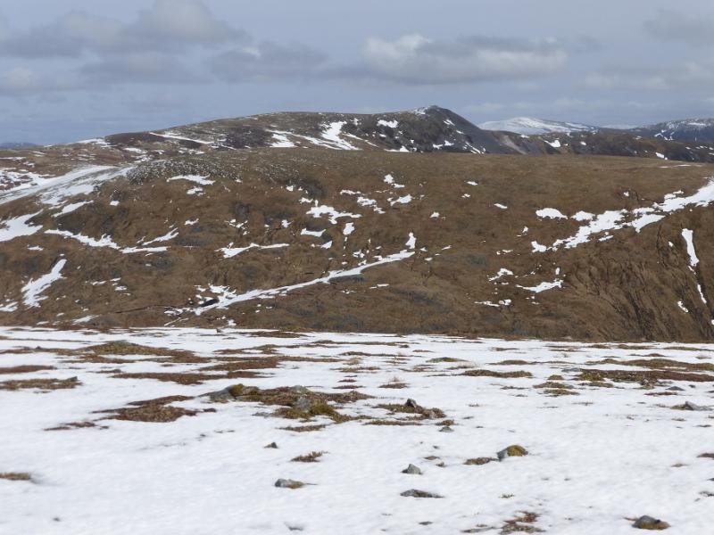
Carn a' Chlamain
Carn a' Chlamain from Blair Atholl
Start/Finish
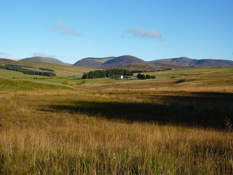
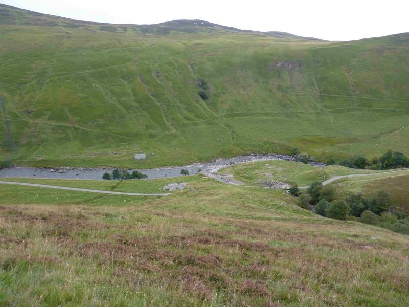
Car park just after the Old Bridge of Tilt between Blair Atholl and Old Blair. From the centre of Blair Atholl, take the minor road on the E side of the Bridge of Tilt and follow the signs to the car park where there is also a useful information board.
Distance/Time
28 km bike of which 18 km could be cycled. About 4 – 5 hours with bike, 6 – 7 hours on foot.
Peaks
Carn a' Chlamain, 963 m, NN 915 758. OS sheet 43.
Introduction
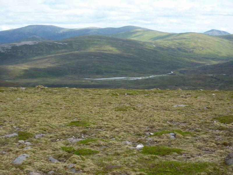
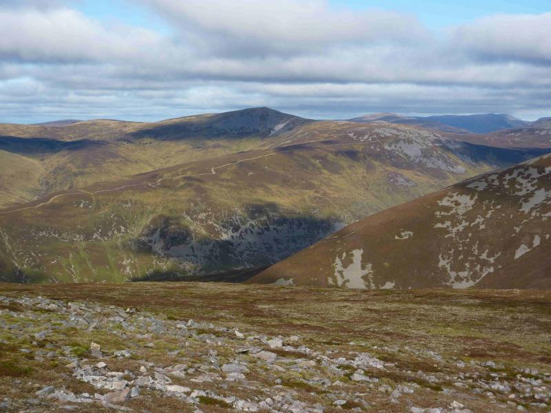
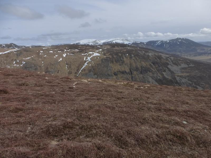
This is the highest mountain on the NW side of Glen Tilt with a good track and path virtually to the summit. The Glen Tilt track is maintained to a standard fit for ordinary cars so cycling up it presents few problems. Carn a' Chlamain is out of sight from Glen Tilt but is soon spotted once some height is gained on its SW ridge. Given its position, on a clear day, there should be views to Beinn Dearg, Beinn Bhreac, Carn an Fhidleir & An Sgarsoch and Beinn Mheadhonach but the most obvious mountain is Beinn a' Ghlo just across Glen Tilt. The notice in the car park gives details of any stalking in the main stag season. There will always be at least one route open up Carn a' Chlamain and all routes are open on a Sunday. For those who have been here before, the toilets in Blair Atholl have moved to by the new Visitor Information Centre just before the turning to the Old Bridge of Tilt. They are no longer free!
Route
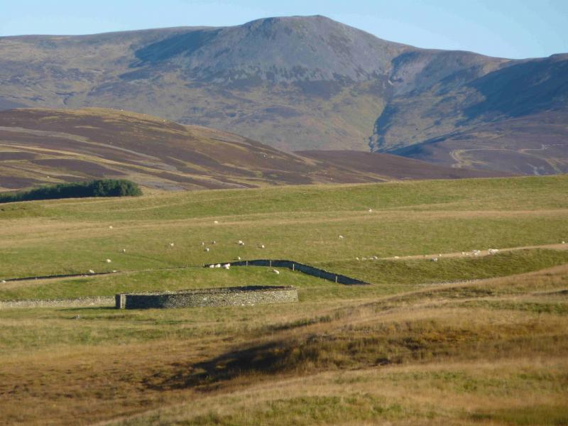
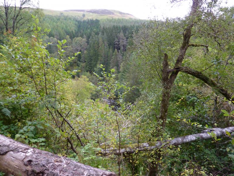
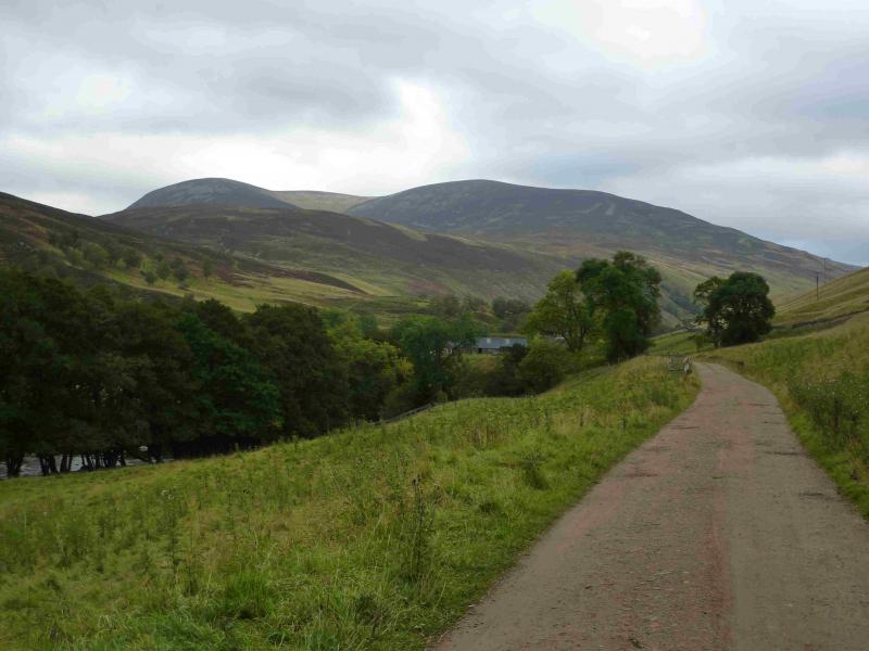
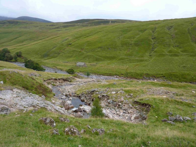
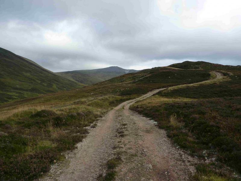
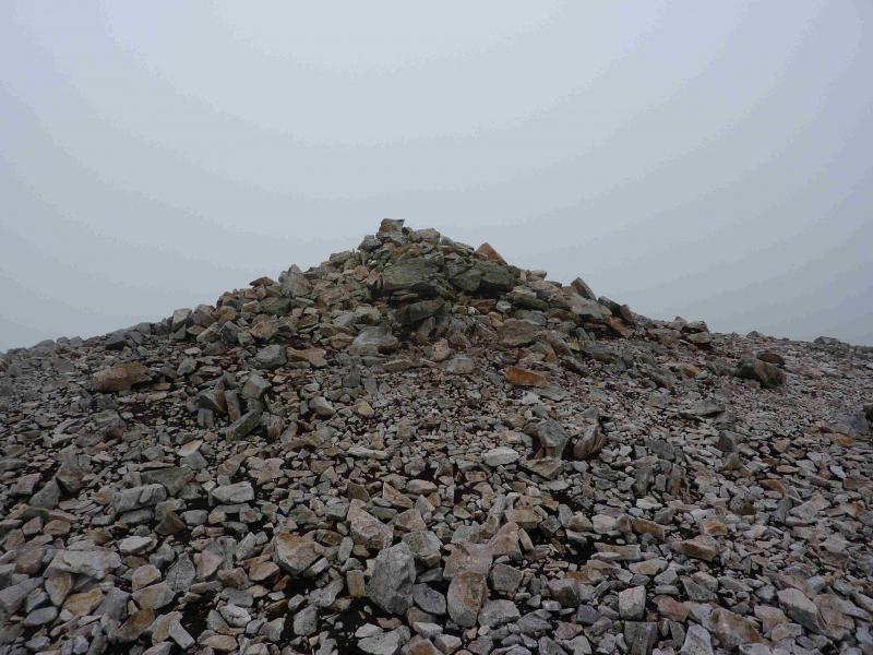
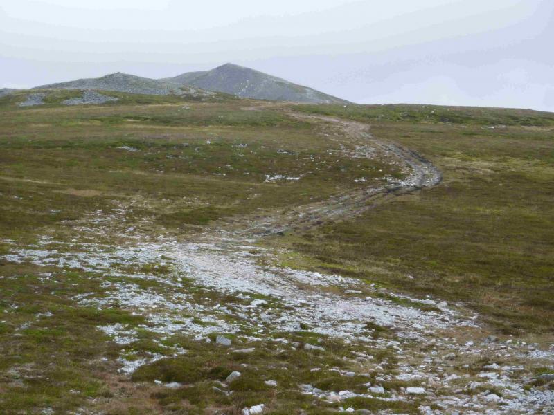
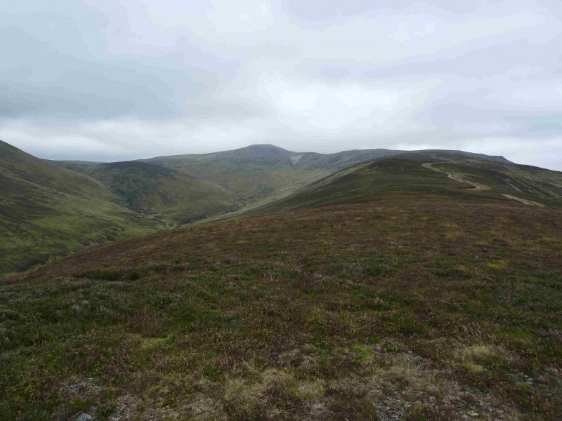
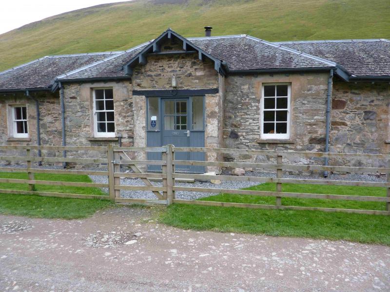
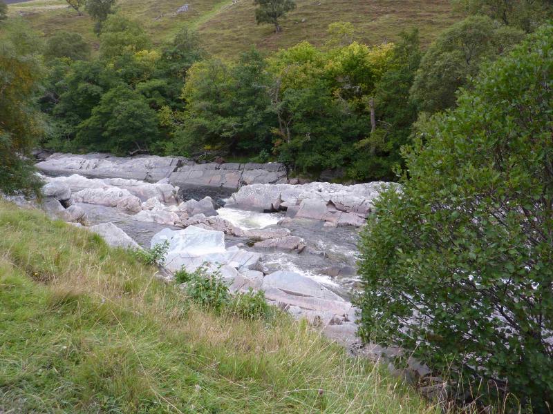
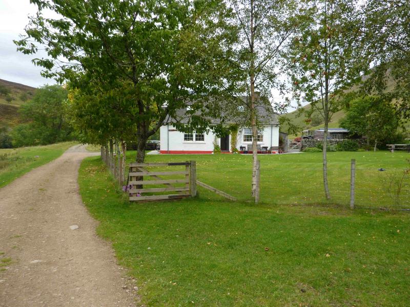
(1) Cross the road by the entrance to the car park and take the track through the stone gate posts. There is a notice on the left hand gate post saying how far it is to Marble Lodge (5 miles) and Forest Lodge (8 miles). Follow the track. After about 3 km, it crosses the River Tilt. Continue on the track for about another 5 km passing the cottage at Auchgobhal and Marble Lodge (a small stone building which is now a holiday cottage for rent) then the track recrosses the river. If you are interested in seeing Gilbert's Bridge, look left after going through the only gate in this section. The bridge is not obvious on the outward journey! Once across the river, walk for about 1 km to reach a wooden bridge across a tributary with the stone cottage of Balaneasie on the opposite side of the Tilt. Immediately after the bridge, there is a path going up left and ascending the SW ridge of Carn a' Chlamain. This is not shown on the 1984, 1 : 50 000. map. The path climbs up the nose and soon joins the track which comes up from Clachghlas further up Glen Tilt. Note this point for the descent as there is no cairn. Continue on the very obvious track but be wary of a false top with a cairn on the left of a level section. In mist, some might think this is the summit. The path from Forest Lodge joins at a small cairn. Continue on the track. In clear weather, the track can be left anywhere suitable for the final ascent but in mist, stay on the track until a large cairn is reached then go left and ascend the short distance to the large and wide cairn which marks the summit of Carn a' Chlamain, 963 m, NN 915 758. The cairn is just large enough for a couple of people to sit behind to get out of the wind.
(2) Return by the same route.
Notes
(a) This walk took place on 3rd May, 2003, and 29th September, 2013. A similar route, but ascending from Forest Lodge, was walked on 20th February, 1995.
Photos - Hover over photo for caption. Click on to enlarge. Click on again to reduce.