Get Lost Mountaineering
You are here: Scotland » 10b Loch Eil to Glen Shiel » Loch Lochy to Loch Quoich & Glen Dessary
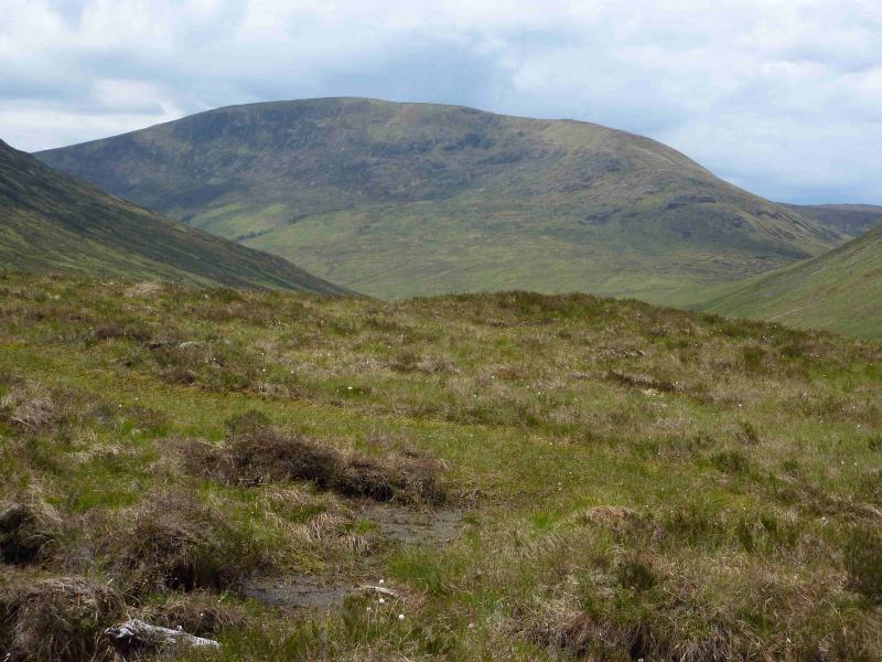
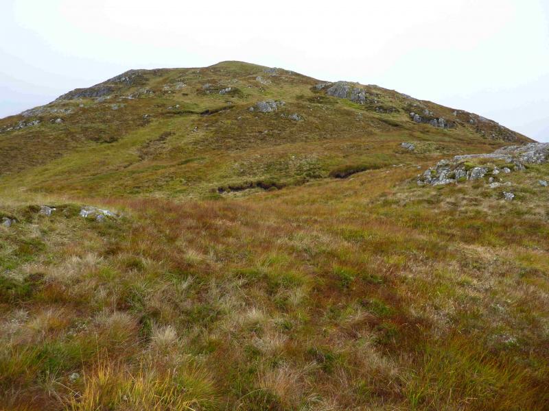
Glas Bheinn
Glas Bheinn from Chia-aig car park
Start/Finish
Car park at Eas Chia-aig waterfall which is near the east end of Loch Arkaig. The route to Loch Arkaig goes through Gairlochy which is usually reached by turning off the A82 about a mile north of Spean Bridge by the Commando Memorial.
Distance/Time
16 km About 5 – 6 hours.
Peaks
Glas Bheinn, 732 m, NN 171 919. OS sheet 34.
Introduction
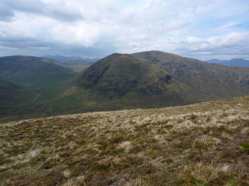
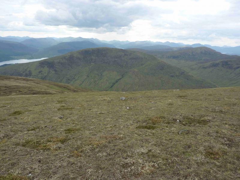
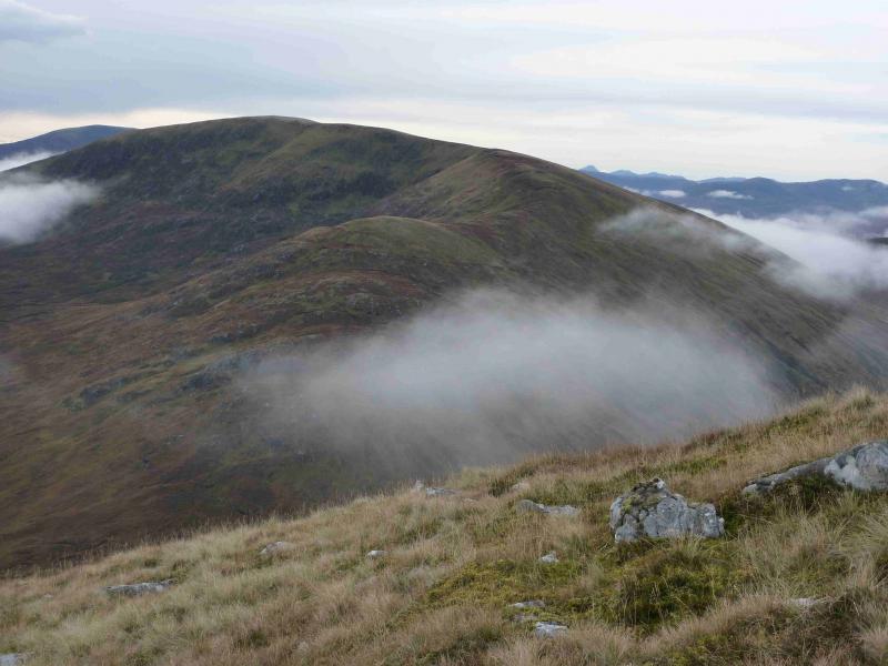
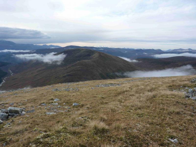
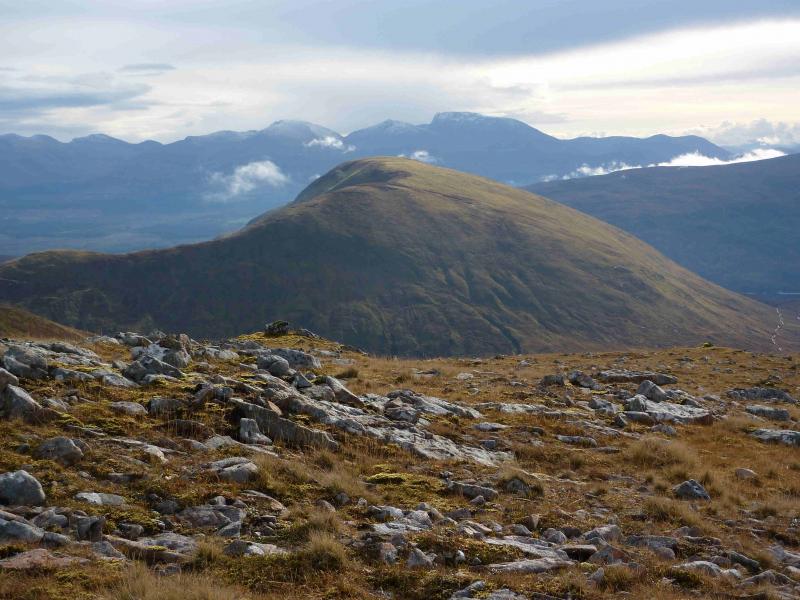
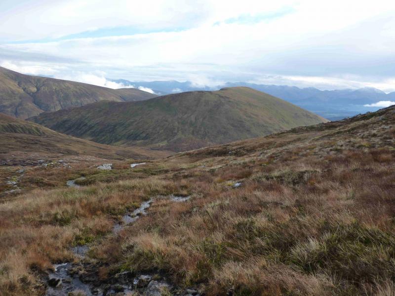
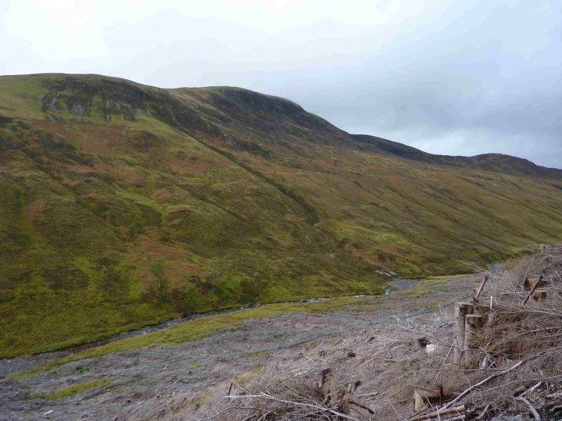
This used to be a fairly pleasant route to this Graham but recent work by the Forestry Commission has changed that. The terrain can be wet and boggy especially around upper Gleann Cia-aig so tackling this route in a dry spell is recommended. On a clear day there are superb views in all directions including Ben Nevis, Grey Corries, the Loch Arkaig hills including Sgurr na Ciche, the Loch Quoich hills and hills further north. Most prominent however are the Loch Lochy hills especially the triangular peak of Ben Tee but there are also fine views of Sron a' Choire Gharbh and Meall na Teanga. The bealach between the two Munros is almost as impressive as that in Glen Etive between the Buachailles. One warning however, in June 2012, the forest near the start was being cleared and the path/track near the start was officially closed so it is worth checking with the Forestry Commision (Lochaber) before taking on this route. In June 2012, there was heavy felling machinery in operation and the old path was littered with felled trees which were very difficult to walk over. The notice at the time said the path would reopen in July 2012 but in October 2012, it was still closed and a new notice said the closure would be until Autumn 2013! By October, 2013, the path from the car park was still closed with no planned re-opening date. Part of the tree clearing operation is to gradually remove the lovely old forest track in upper Gleann Cia-aig. All that is in its place so far are the caterpillar tracks of the machinery with a feeble attempt to pull aside some of the felling debris to create an awful boggy path. One wonders if the old paths and tracks will ever be restored.
Route
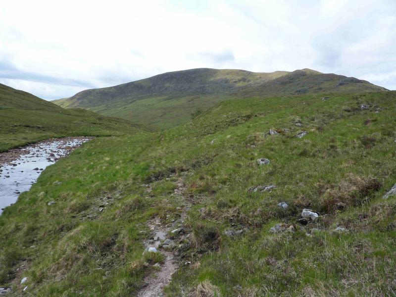
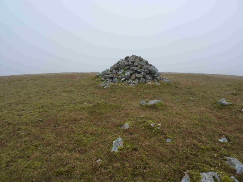
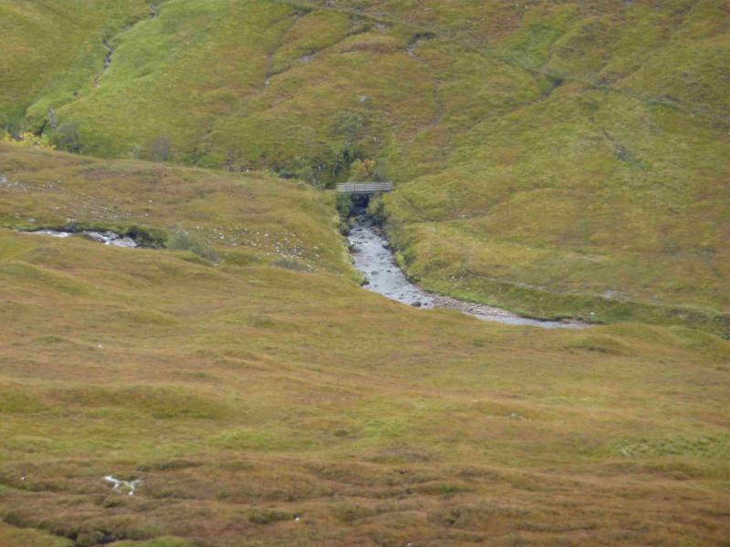
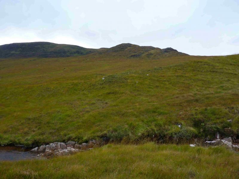
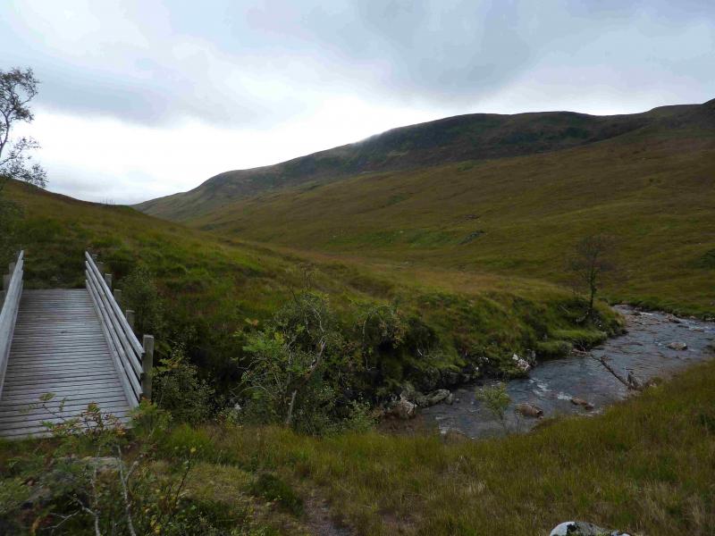
(1) Walk back along the road for about 600 m to where a forestry track heads N. Follow this up. At the first junction go left (almost back on oneself). At the second junction, ignore the minor track going left and continue ahead. This track will now go past where the old path would have joined. There may be lots of notices about access and dangers so ignoring them is at your own peril. On the forestry track approach, there is a sign for a cave which might be worth investigating. Continue to the end of the main gravel track then drop down, through tree felling debris, and follow the new boggy path until it enters the wood and the old track takes over. Continue and leave the wood by the stile which should be crossed then follow the path to the bridge and cross over. Head W for the Allt Tarsuinn and cross just below a small waterfall. This is normally straightforward but would be awkward in spate conditions. Once across, head just S of W across rough grassy moorland aiming for the craggy section of the NE ridge. Aiming for the bottom of the ridge takes one across an area of peat hags. Ascend easily on to the undulating ridge then follow it up as it curves around to the S. Reach a plateau where a medium cairn marks the summit of Glas Bheinn, 732 m. There is a smaller cairn about 50 m to the W.
(2) Retrace the outward route.
Notes
(a) This walk took place on 5th October, 2013.
(b) A similar ascent was made on 29/5/01 but the descent was made W to the Allt Dubh glen then down to Achnasaul with a walk along the road to finish. It seems more pleasant to retrace the route of ascent as above.
Photos - Hover over photo for caption. Click on to enlarge. Click on again to reduce.