Get Lost Mountaineering
You are here: Scotland » 01 South of Oban to Stirling and Fife » Loch Earn to Loch Tay
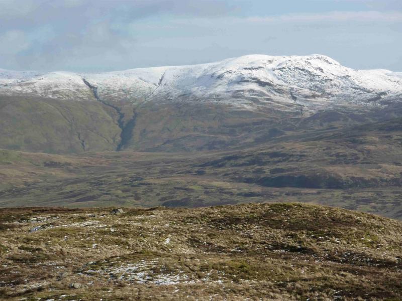
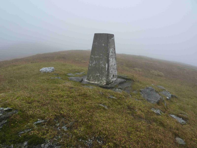
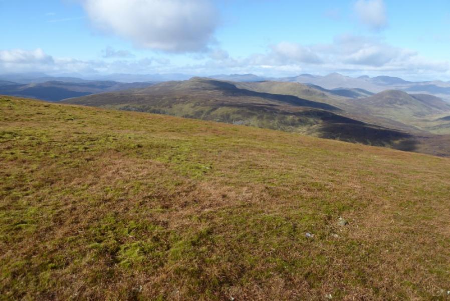
Creag Uchdag from N
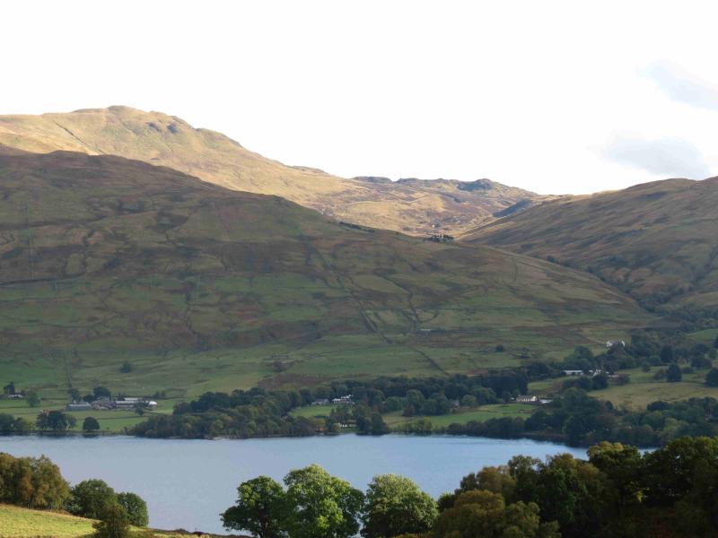
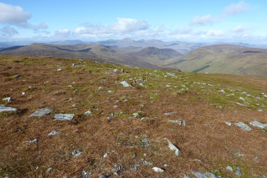
Creag Uchdag from Ardeonaig on Loch Tay
Start/Finish
Ardeonaig on south Loch Tay road, about 6.7 miles from Killin. Parking is extremely limited although there is usually plenty of space in the Ardeonaig Hotel car park but ask permission to park first.
Distance/Time
12 km About 5 - 6 hours
Peaks
Creag Uchdag, 879 m, NN 708 323. OS sheet 51.
Introduction
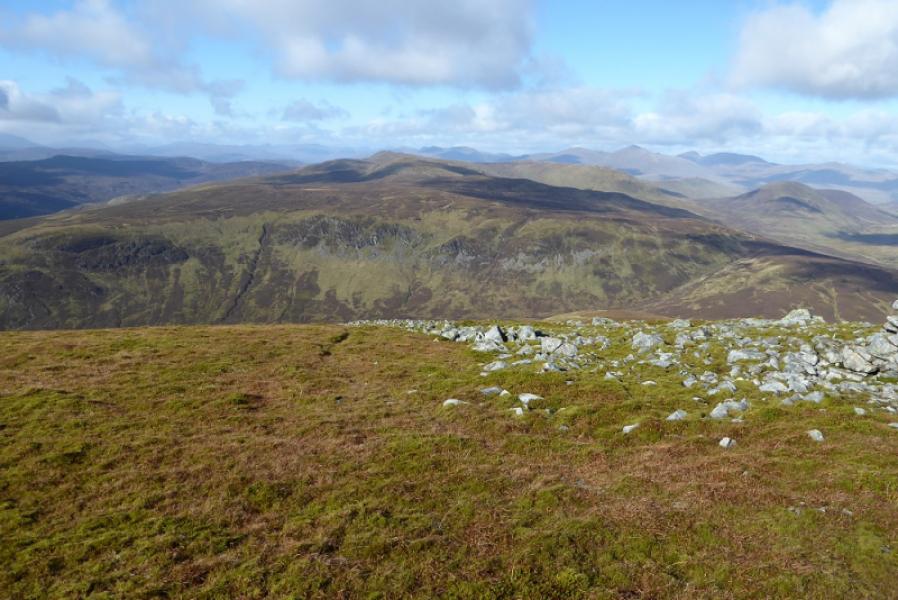
This is an excellent view point for the Ben Lawers range to the north across Loch Tay as well as other peaks such as Ben Chonzie. The 1988 map shows a path from Ardeonaig up the Finglen. There is a signpost for this from the road but, after that, the path is very difficult to follow until well into the glen. Choose a clear day, not only for the views but also because the higher ground is not that easy to navigate.
Route
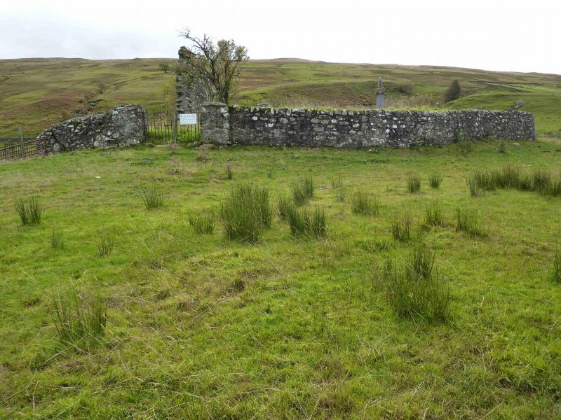
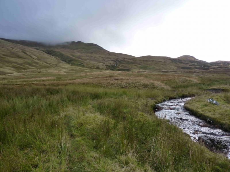
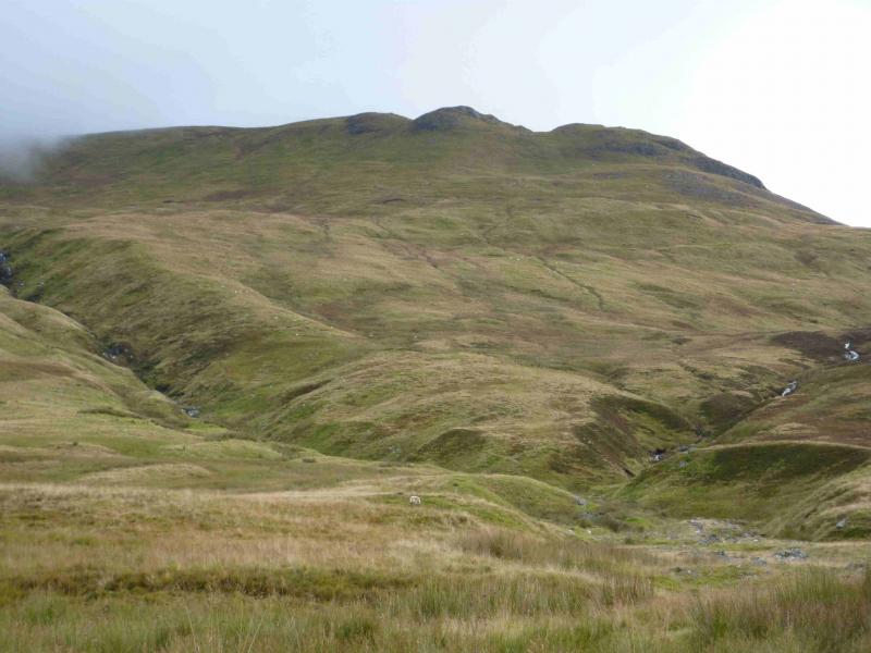
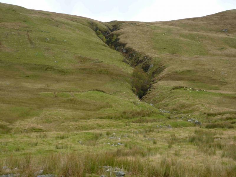
(1) The sign seems to direct one into a very narrow gap between a stone wall and a barbed wire fence! Go through the gate to the left of the sign and walk up the field, shadowing the barbed wire fence, towards what looks like the remaining wall of an old ruin. Cross a fence, near a tree, on the way. The “ruin” turns out to be an old burial ground which is marked on the map as Cill mo Chormaig. Pass to the left of this and aim for a gate which gives access to a track heading roughly S. Follow the track which passes well above a series of enclosures before gradually heading towards the Finglen Burn which it shadows for about 2 km. The track is an ATV track and can be quite boggy in places. Bear in mind that other ATV tracks may develop so keep monitoring the direction. Three tributaries of the river are crossed which pose no problems normally and, even in spate, need only short detours. Look for the major gully to the E which comes down from Meall nan Oigreag. This is a good marker as the final ascent starts up the next gully. Follow the burn up, past the group of old shielings (shown on the map) to the first confluence at NN 691 332. The best route up is between the two burns, heading roughly ESE. In clear weather, three tops should be seen above and will have been in view most of the way up the glen. Aim for the left one of the three then continue up on to the crest where an intermittent line of old fence posts (some short enough to be covered by snow) leads SE, along an undulating ridge, accompanied by a faint path to the trig point on the summit of Creag Uchdag, 879 m. There is no cairn.
(2) Return by the same route.
Notes
(a) This walk took place on 18th February, 2002 (under snow) and 3rd October, 2012.
Photos - Hover over photo for caption. Click on to enlarge. Click on again to reduce.