Get Lost Mountaineering
You are here: Scotland » 10b Loch Eil to Glen Shiel » Loch Lochy to Loch Quoich & Glen Dessary
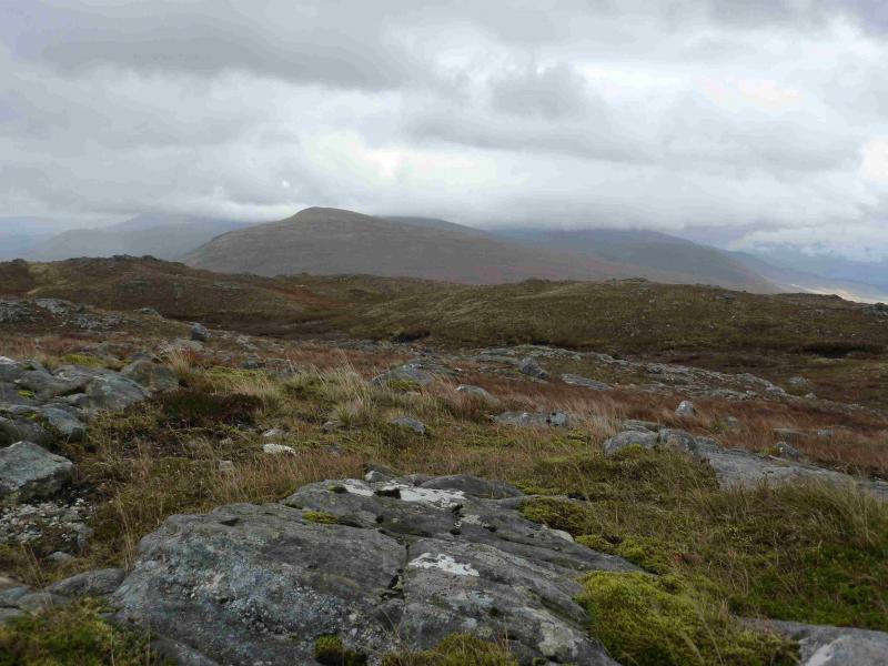
Sgurr Choinnich
Sgurr Choinnich from Allt Mhuic Butterfly Reserve
Start/Finish
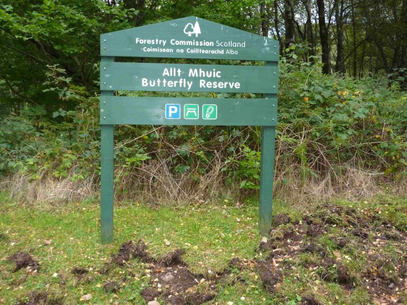
Car park at the Allt Mhuic Butterfly Reserve which is about 4 miles from the east end of Loch Arkaig. The reserve is also signed about a mile before. The route to Loch Arkaig goes through Gairlochy which is usually reached by turning off the A82 about a mile north of Spean Bridge by the Commando Memorial.
Distance/Time
8 km About 4 hours.
Peaks
Sgurr Choinnich, 749 m, NN 127 949. OS sheet 34.
Introduction
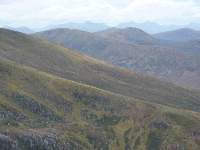
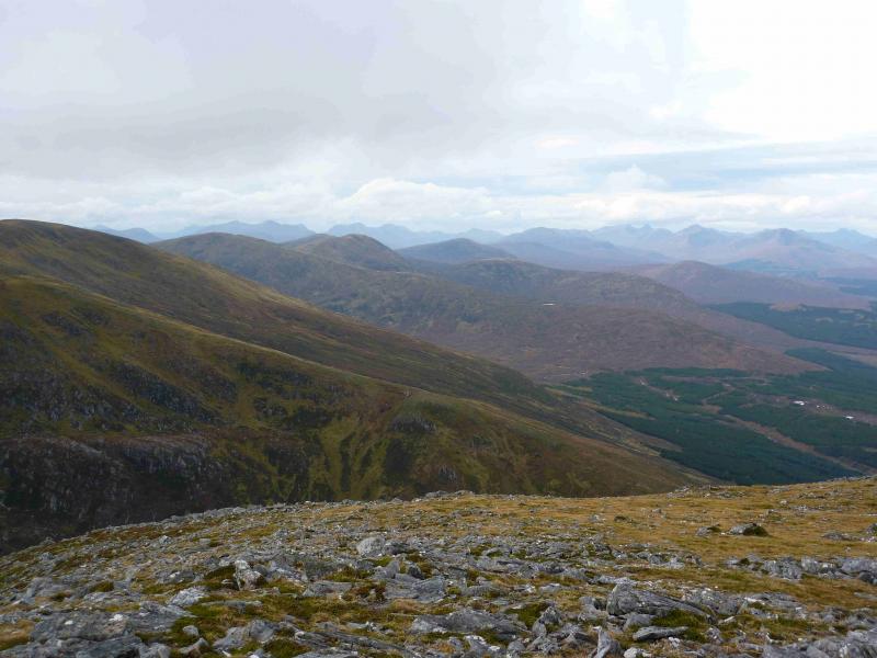
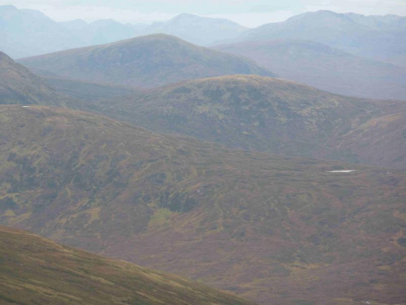
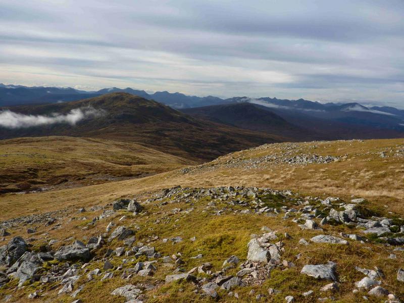
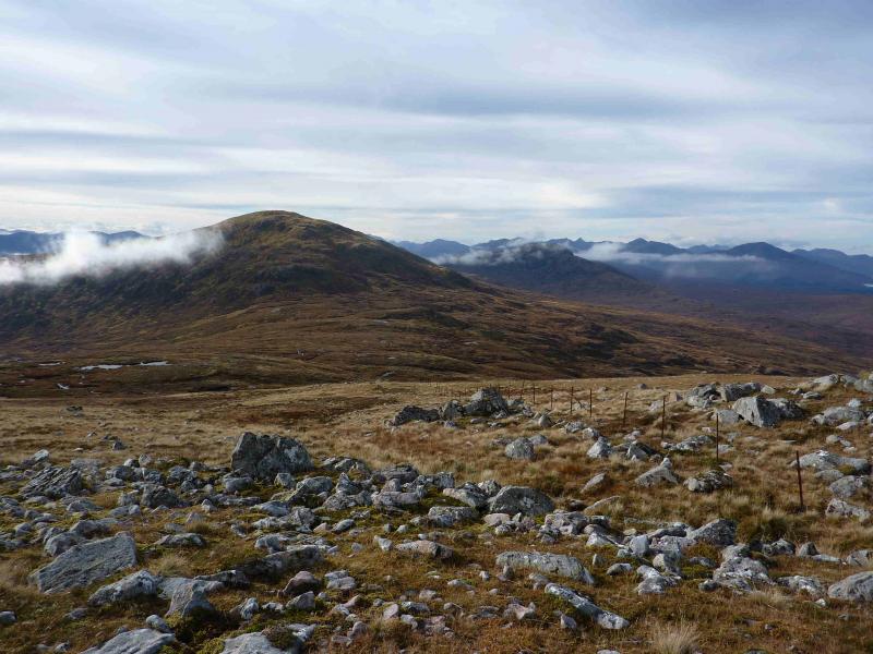
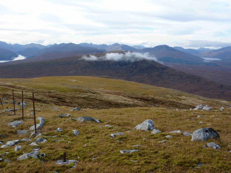
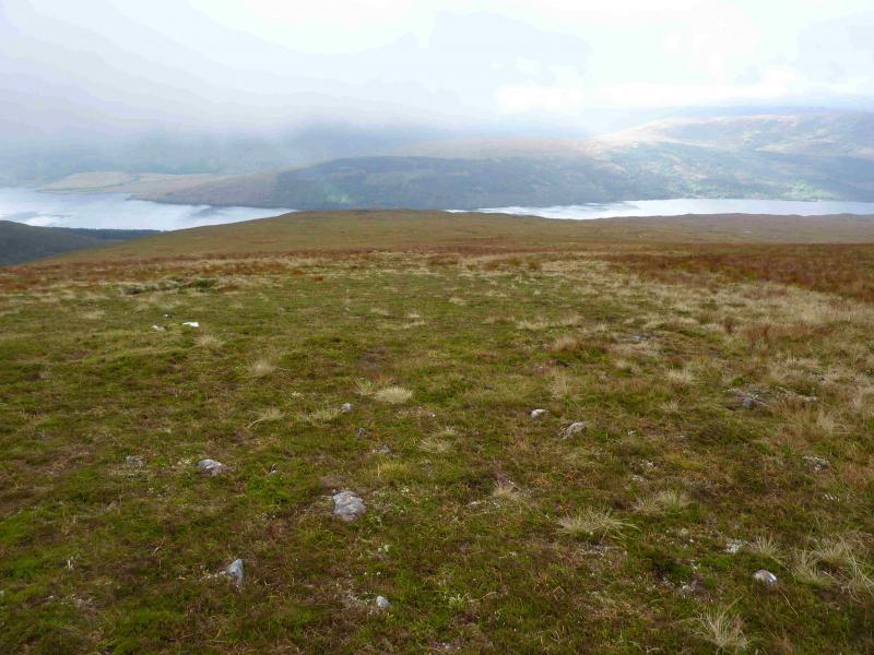
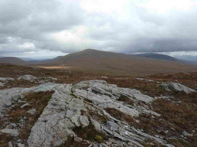
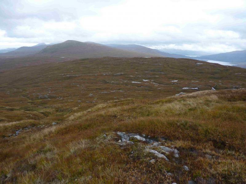
This is a relatively straight forward route although the ground can be a little rough and boggy. Use is made of the Butterfly Reserve path then an ATV track takes one almost to the summit. On a clear day, Sgurr Choinnich is a good viewpoint for the Loch Lochy Munros, the Gleann Cia-aig Corbetts not to mention the Munros at the far end of Loch Arkaig.
Route
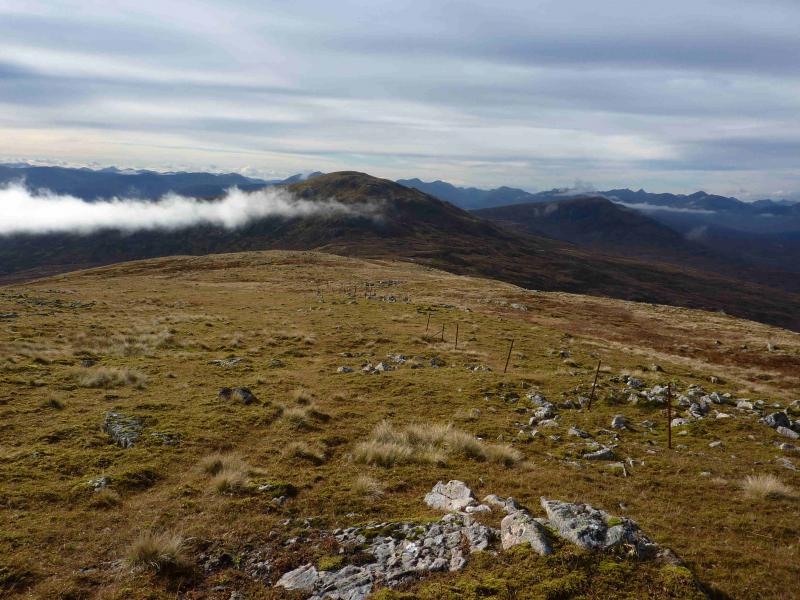
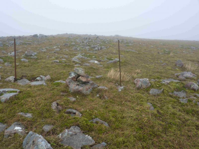
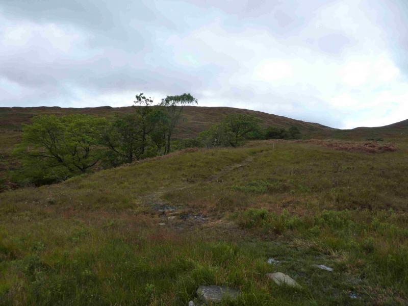
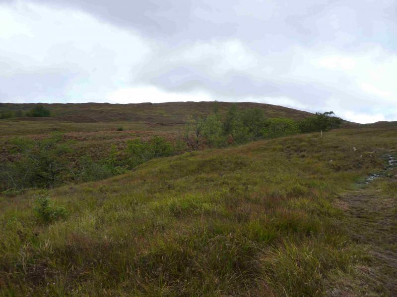
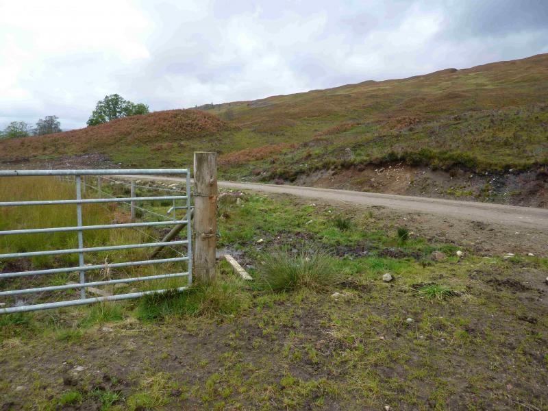
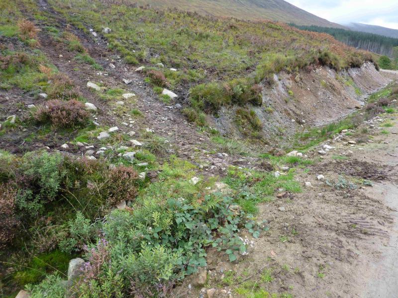
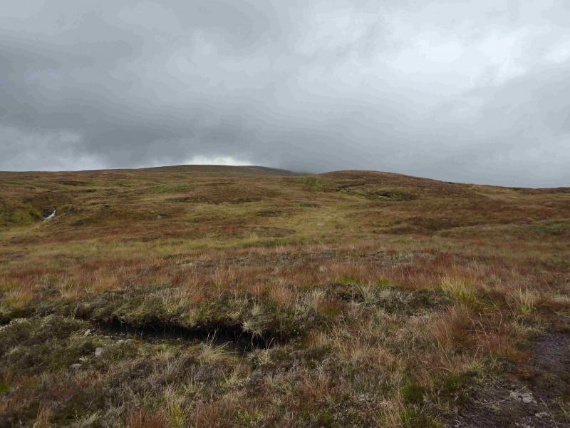
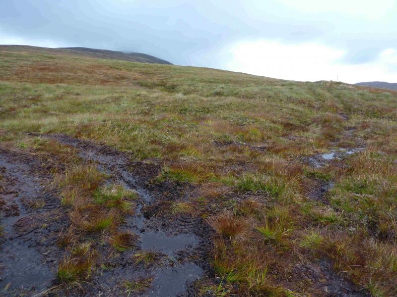
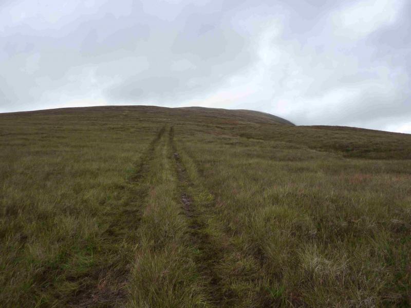
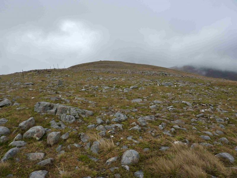
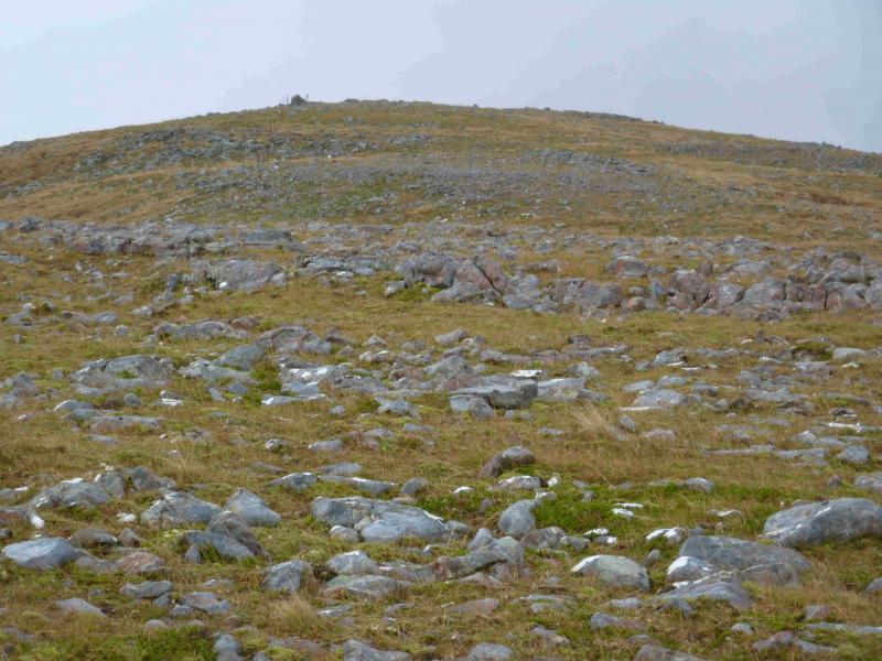
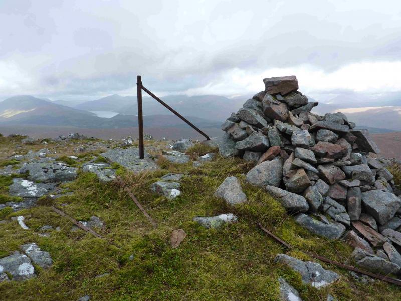
(1) From the car park, walk up the path to reach the forestry track. Turn left on to the track. Pass the gate which returns one on the path on the W side of the Allt Mhuic. Soon after is a wider gate. About 10 m further, on the right, is an ATV track which ascends the S flank of Sgurr Choinnich. The track is boggy in places. It soon leads to a high locked gate and deer fence which has to be climbed over. Continue on the track which is easily followed until it reaches close cropped heather when it becomes much fainter. In clear weather, there is no problem. In mist, continue up the now reasonably well defined, but broad, ridge. A line of fence posts comes in from the left and there is a small cairn. Follow the fence across a shallow dip to reach a medium cairn which marks the summit of Sgurr Choinnich, 749 m.
(2) Retrace the outward route. In mist, take care to locate the top of the ATV track. Do not follow the fence posts beyond the small cairn.
Notes
(a) This walk took place on 4th October, 2013.
(b) A very similar route was also walked on 28th May, 2001.
(c) Sgurr Choinnich was also ascended by this route on 6th October, 2013 then the route continued to Meall Blair. This route is described separately.
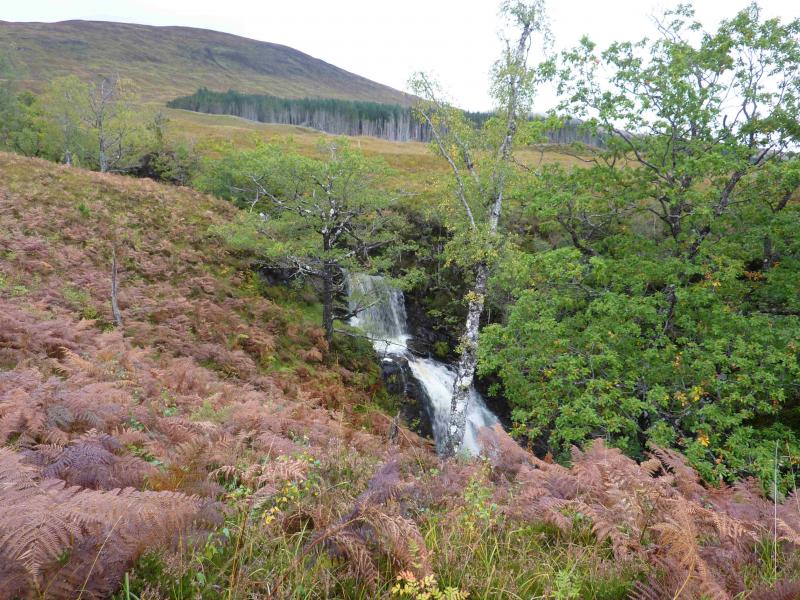
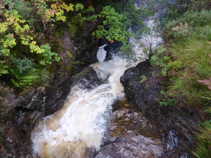
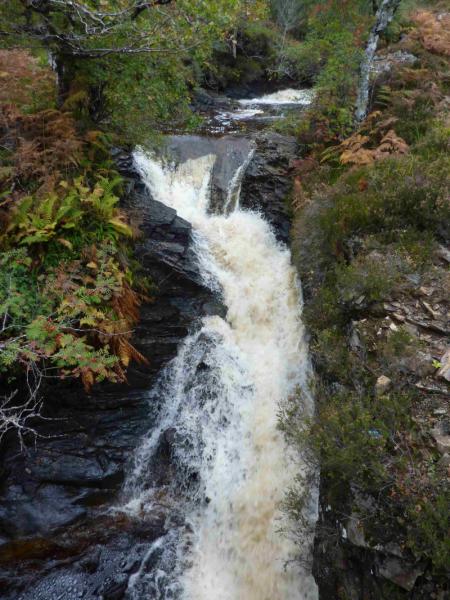
(d) An alternative route to path on the E side of the Allt Mhuic is to walk up the public road for about 60 m until about opposite Site 10 where the return path to the Butterfly Reserve meets the road. This can be followed to the forestry road where one turns left to the wider gate and ATV track. The advantage of this variation is that one gets a good view of the impressive Allt Mhuic waterfall.
Photos - Hover over photo for caption. Click on to enlarge. Click on again to reduce.