Get Lost Mountaineering
You are here: Scotland » 03 North-west Argyll, Appin and Glencoe » Ben Cruachan to Bridge of Orchy & Tyndrum
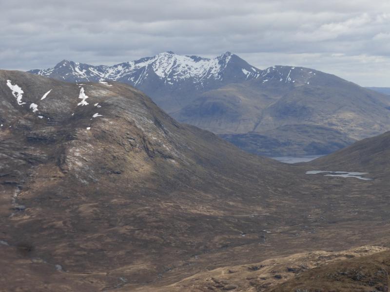
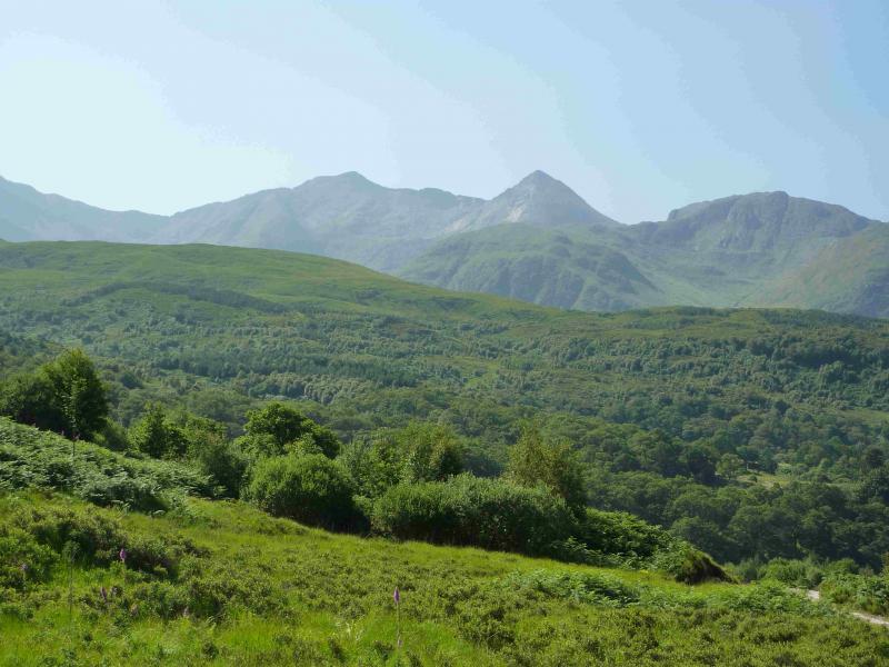
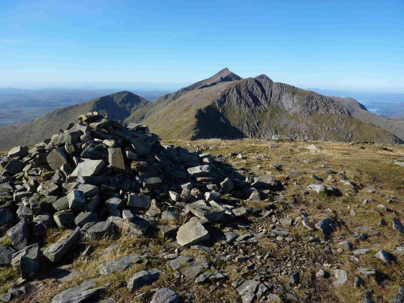
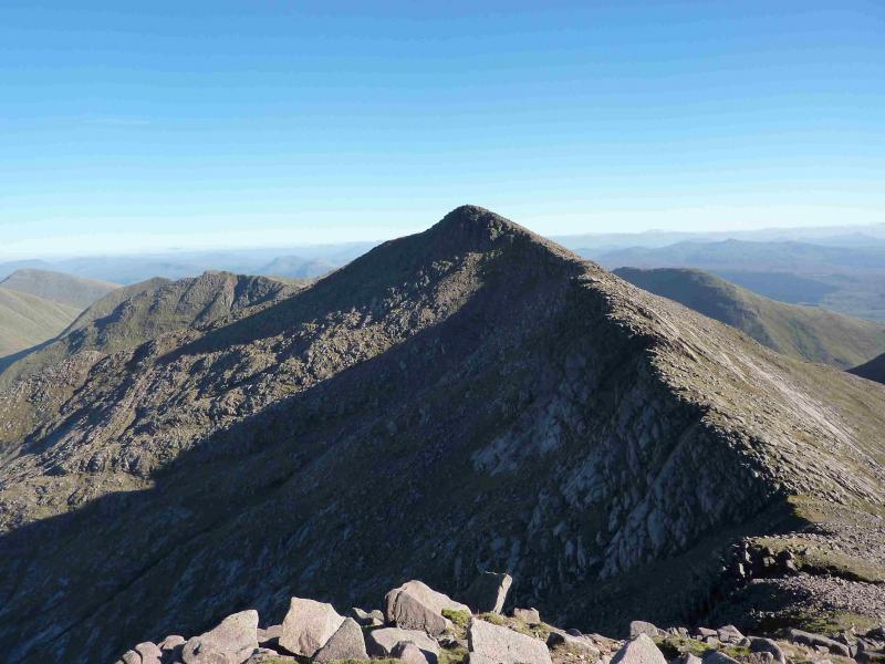
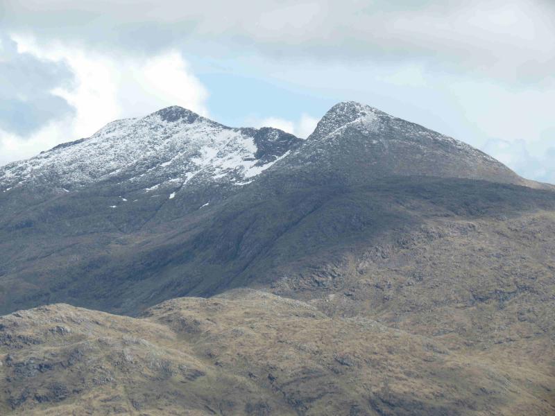
Ben Cruachan
Ben Cruachan from Falls of Cruachan Railway Station
Start/Finish
The rough, often boggy, lay by the Falls of Cruachan station which is a short distance east of the Visitor Centre on the NW spur of Loch Awe on the A85 Dalmally to Connel road.
Distance/Time
14 km. About 8 hours.
Peaks
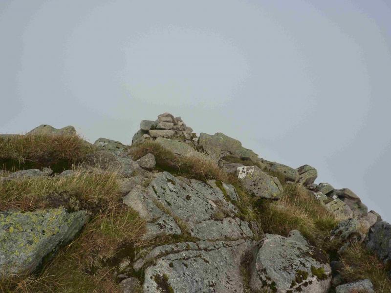
Drochaid Ghlas, 1009 m, NN 083 306.
Ben Cruachan, 1126 m, NN 069 304.
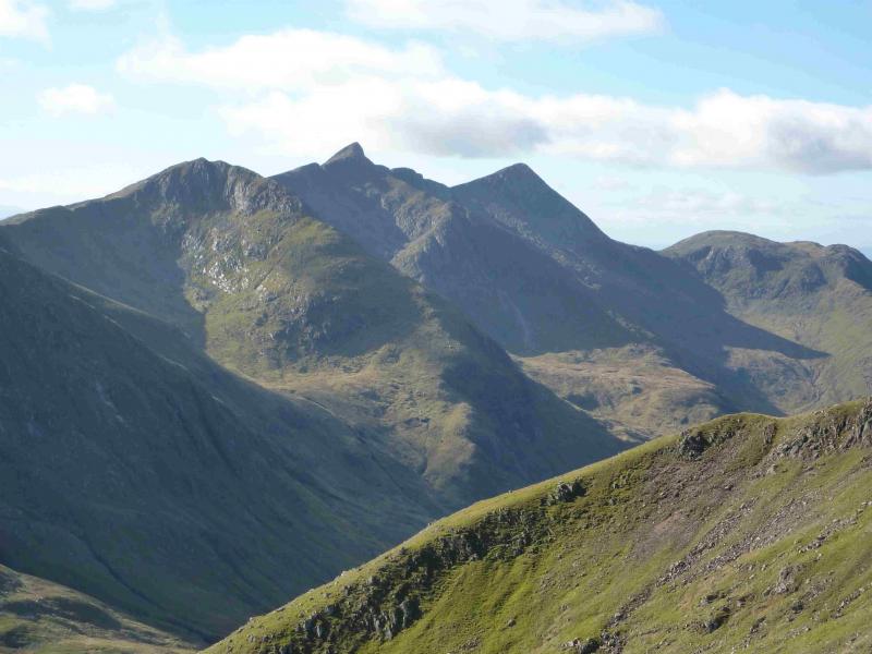
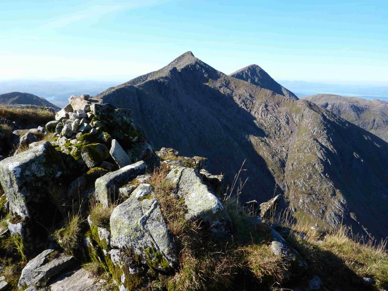
Taynuilt Peak (Stob Dearg), 1104 m, NN 062 307.
Meall Cuanail, 918 m, NN 069 295. OS sheet 50.
Introduction
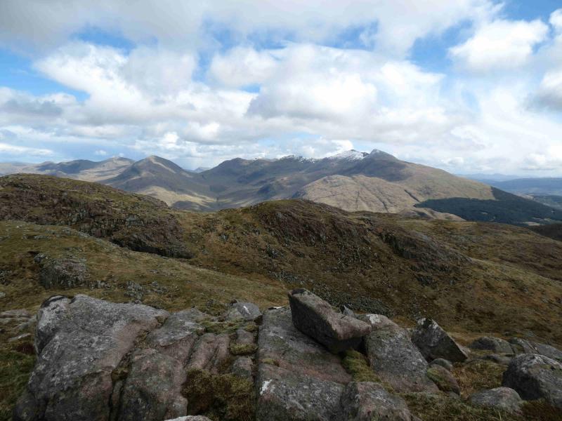
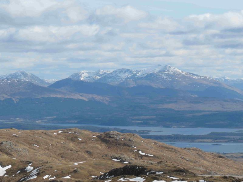
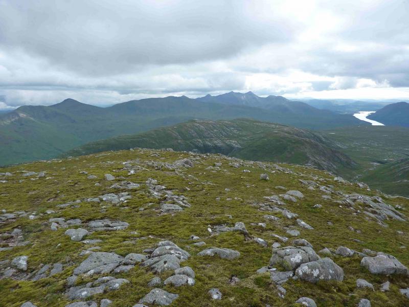
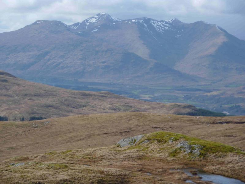
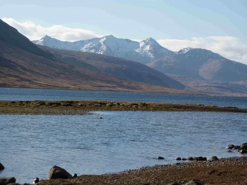
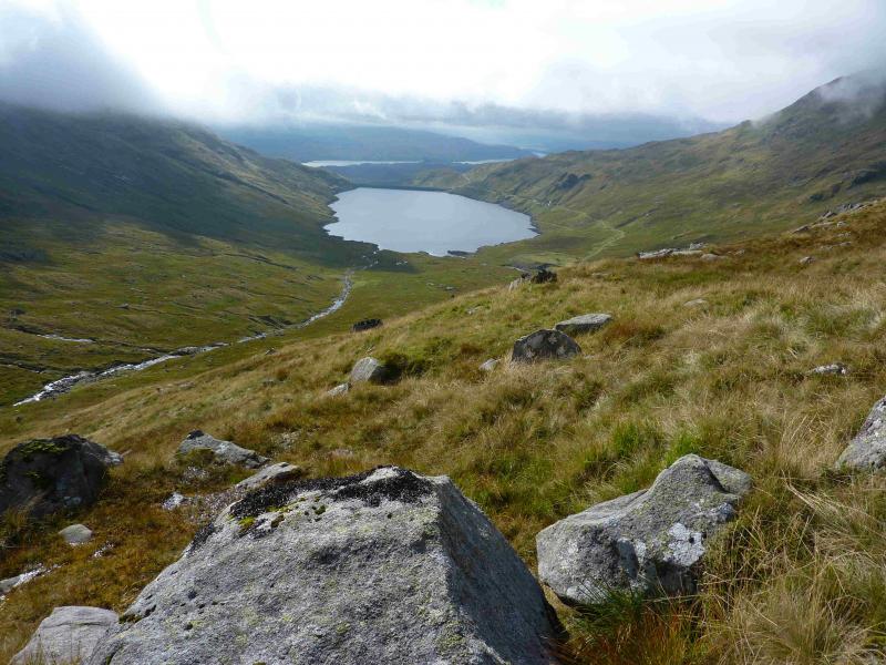
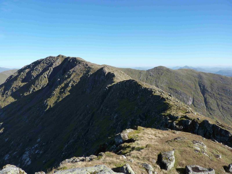
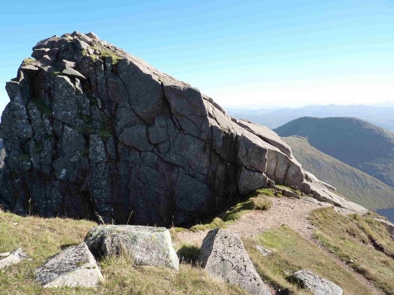
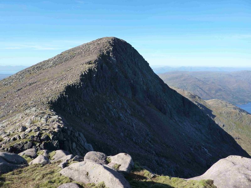
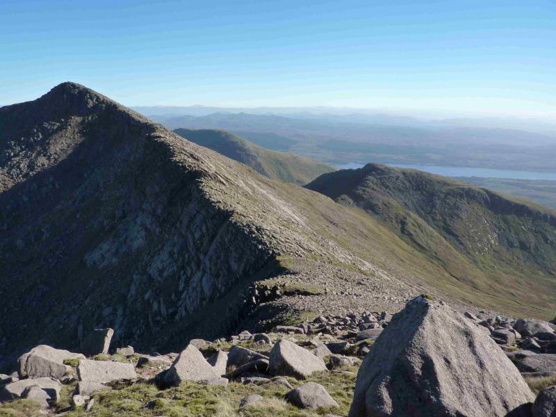
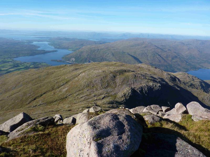
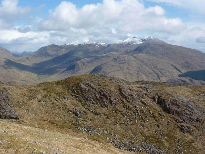
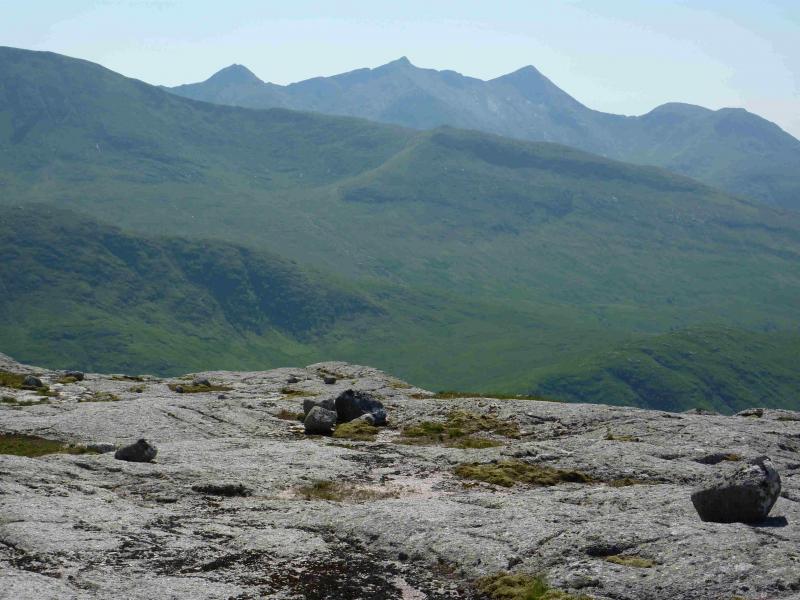
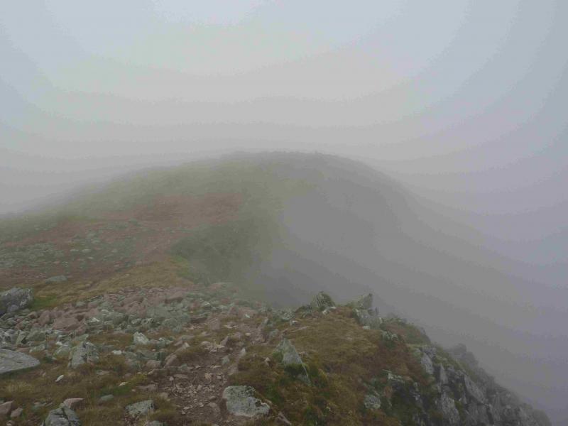
From a distance, Ben Cruachan looks magnificent with the dramatic pointed Taynuilt Peak at its western end. Many people use the approach on the E side of the Falls of Cruachan Burn, as it starts from the station, but it is quite an unpleasant path in places being steep, narrow, muddy, has encroaching vegetation in the summer and has several large rocks on it which can be awkward to clamber over especially if wet and in descent. It is especially boggy when it levels out. In addition, higher up, there is a high, loose and tilting stile which will be unnerving for many. The SMC Munros book recommends the path on the W side of the burn but this is a worse option and is not recommended as many will need to cross the railway, illegally, at the bottom. This path is also overgrown in the summer making it difficult to follow. Apart from the bogginess the walking is generally good apart from the short slabby section on the E ridge just below the summit of Ben Cruachan which many will wish to avoid by a slight or significant descent down and around it on the S side. The inexperienced should only visit Ben Cruachan in clear weather during the warmer months as it is a very serious proposition under snow and ice. Many include Stob Diamh with Ben Cruachan but this route only covers Ben Cruachan and its tops. The Ben Cruachan/Stob Diamh route is described separately. If you get a clear day, the views will be excellent especially towards the Loch Etive peaks. It would be nice to see Scottish Power invest some of their profits into improving access to this mounatin since they have gained by utilising it for their pump storage system.
Route
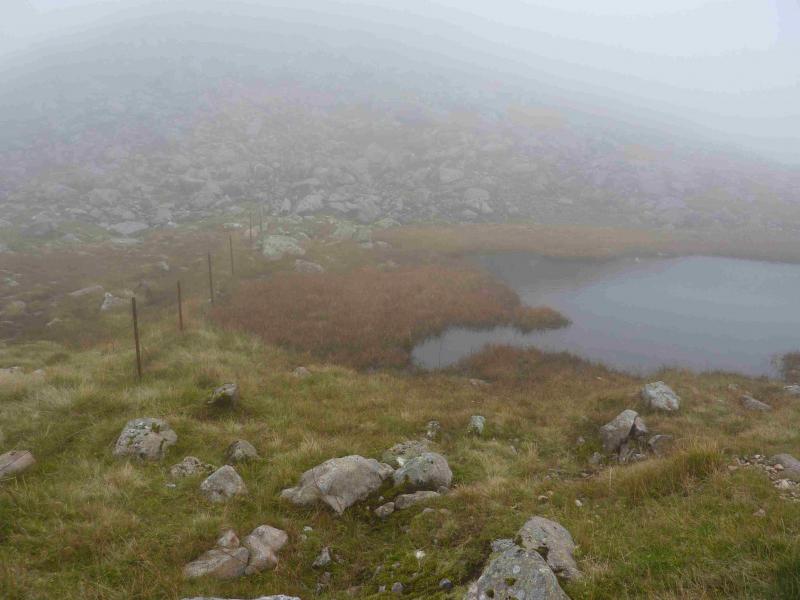
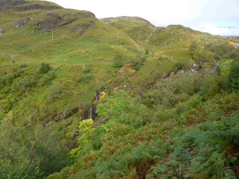
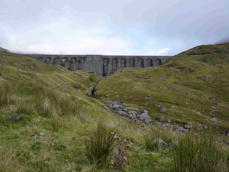
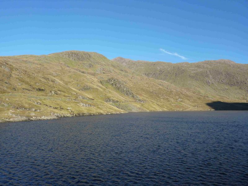
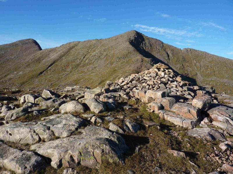
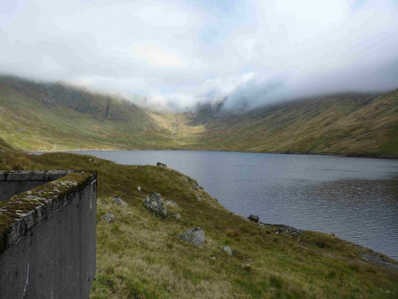
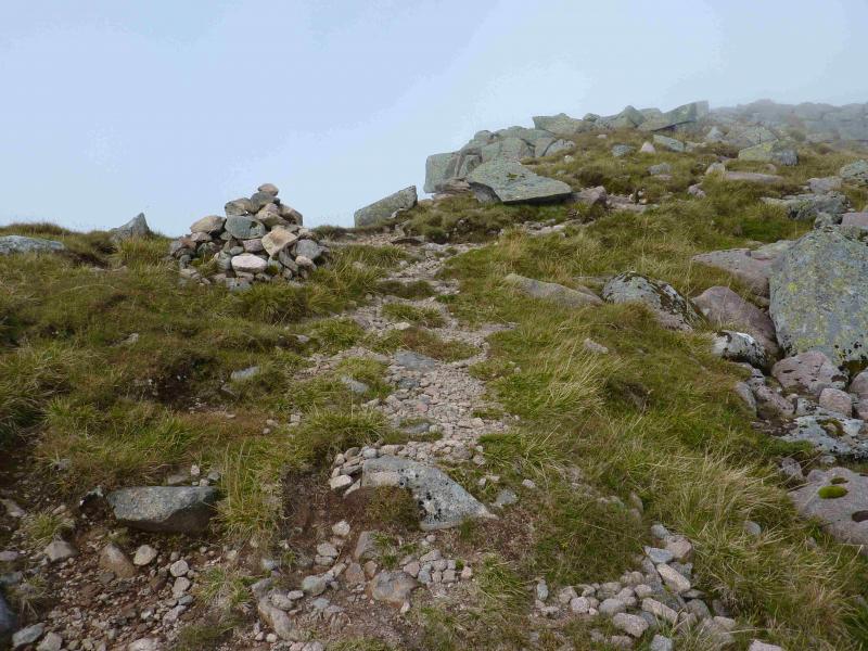
(1) Follow the path towards the station and go through the metal gate under the track. Ascend some steps to the fenced off electrical apparatus where an obvious path goes off left. Follow the path easily to the Cruachan Burn where it starts to ascend the E side. The path is obvious all the way up but vegetation encroaches making it narrow and it passes through dense natural woodland. It is steep, muddy, has large rocks to clamber over and you can expect ferns, brambles, trees and roots to be an irritation on the ascent. In places, there are good views of the Falls of Cruachan. When the angle eases, reach a high deer fence. There is an awful stile which is loose and tilting. It is high enough to cause a serious injury should you fall off and, sooner or later, someone will. Continue on more level ground which can be very boggy to reach the road going to the left hand end of the dam. It is not advisable to climb the steep ladder on to the dam but to walk around the wall on the left. Gain the track heading N along the W side of the reservoir and follow it to its end. Pick a way over reasonable ground towards the main burn flowing down Coire Cruachan then pick a way up the left hand side of the corrie which is mainly grassy but moderately steep. Higher up, go to the right of the obvious crag/short cliff on the left and pick a way up mainly grassy ridges to the crest below and to the E of Drochaid Ghlas. There is a very distinctive path on the crest which should be followed westwards. The E flank of Drochaid Ghlas is steep and rocky so the path can be difficult to follow in places but it seems to drift to the right before emerging at a cairn on a ridge where a path goes left and right. Turn right and ascend gently for about 50 m to reach the medium cairn which marks the summit of Drochaid Ghlas, 1009 m. A path goes beyond the summit but is not part of this route.
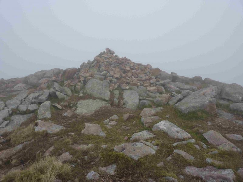
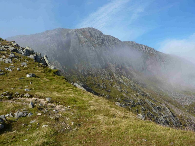
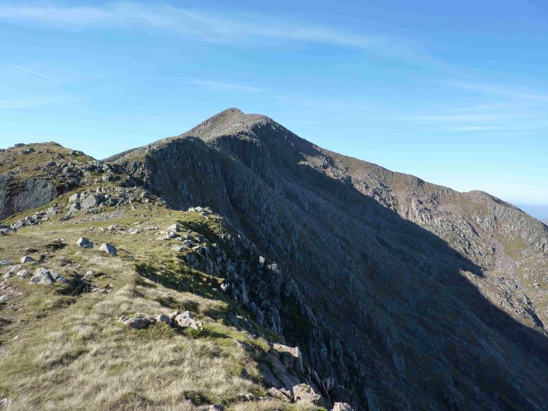
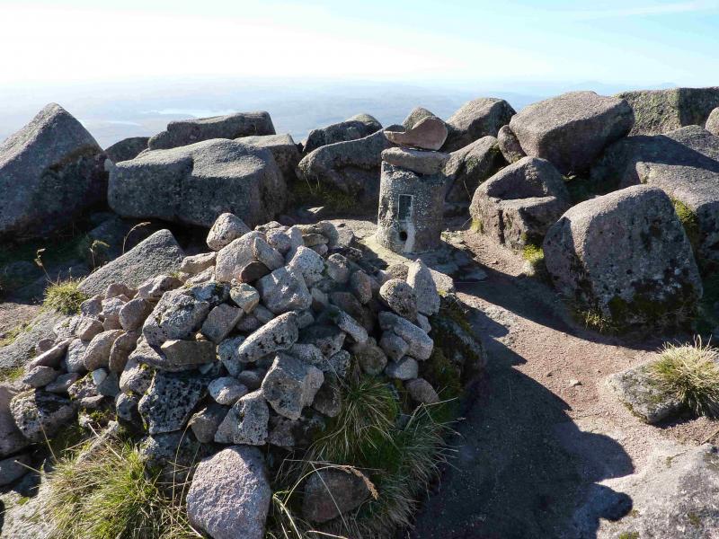
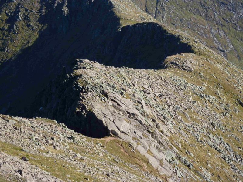
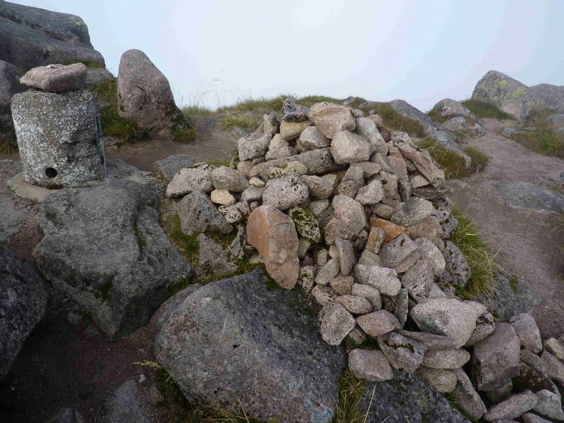
(2) Retrace to the cairn and take the other path (ahead). Follow this, generally W, over rocky and stony ground to a long shallow dip then ascend towards Ben Cruachan. If you lose the path, remember that there is an edge on your right, N, and the path is never very far from there. Just before the final steeper rise, there is an awkward section. Experienced walkers will be able to pick a way across the large slabs then scramble down a small rectangular block. Most lose a little height to the left then cross the slabs lower down to rejoin the very obvious path. Some lose even more height to go down around the foot of the slabs. Be aware that the top route has a sheer cliff on its right where a gully cuts in. Continue up the obvious path towards the summit. Higher up, the crest becomes more rocky but the experienced will be able to handle it. There is an avoiding path on the left which goes below and past the summit so you would need to double back once past the difficulties. Both routes lead to a medium cairn and broken trip point which mark the summit of Ben Cruachan, 1126 m.
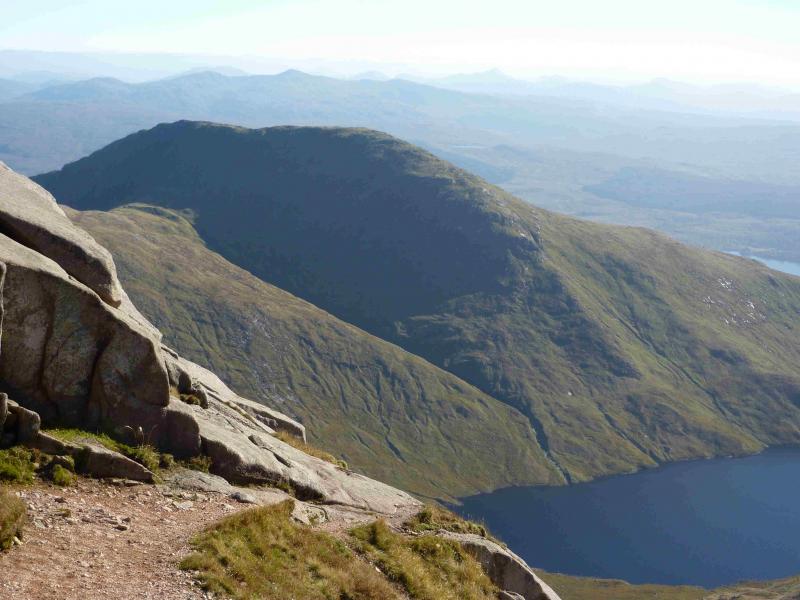
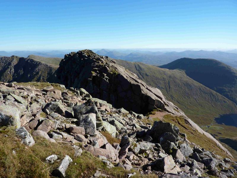
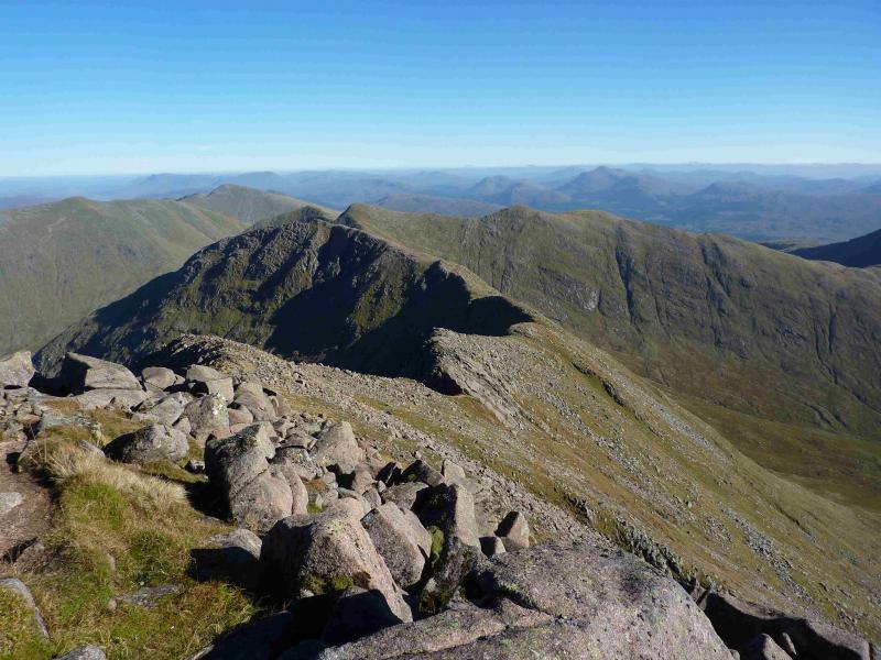
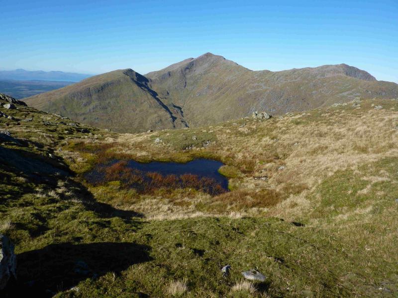
(3) In clear weather, the Taynuilt Peak will dominate the view W and the route will be obvious. In mist, set your compass for a direct line between the two tops. This should ensure that you find the reasonably good path which follows the edge on the N side of the connecting ridge. A fairly well defined bealach is crossed before a final ascent up rock and scree (with the path disappearing in places) leads up to the medium cairn which marks the summit of the Taynuilt Peak (Stob Dearg), 1104 m.
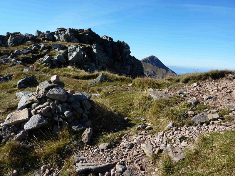
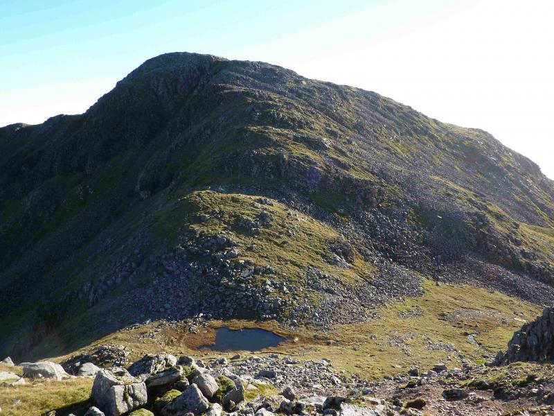
(4) Retrace to the bealach, being careful not to take any of the false paths going off to the left, then either return to below the summit of Ben Cruachan and pick up the path going down the stony S ridge towards Meall Cuanail or follow a faint path (soon peters out) and contour across to the S ridge of Ben Cruachan. There are some slabs on this route which can be crossed easily if dry but, otherwise, the ground is not too bad. In mist, it is probably easier to return to below Ben Cruachan summit. Follow the path down the stony ridge to reach a bealach where there is a small lochan (not on the map) and a fence starts. A path, not obvious to begin with, goes up the left hand side of the fence before going further left. The ascent is moderately steep but there are no real difficulties. Soon reach a medium cairn which marks the summit of Meall Cuanail, 918 m.
(5) Descend roughly S, down an ill-defined but easy grassy ridge. There is a path but, after a while it becomes difficult to follow. It is probably easier to stay with the fence then pick a way down grassy slopes E or SE to the dam. It also looks possible to stay on the ridge to meet the track coming from the dam. In mist, one will need to be aware of distance and time or use a GPS to make sure that you descend to the dam or a track leading to it.
Notes
(a) This walk took place on 28th August, 2006, and 24th September, 2013, - both in mist! The whole horseshoe, including Stob Diamh was walked on 21st August, 1994, in clear weather.
(b) An alternative to the steep descent by the Cruachan Burn would be to walk up the hydro road from St. Conan's Kirk, near Lochawe village. However, this is about 5 km long and would probably not save any time. It could be possible to cycle up then have a long free wheel down at the end of the day but the author has not checked this out. Enquiries could be made at the Visitor Centre. Those with money to burn could book in on the power station tour (£6.50 in 2013), be taken up to the dam by minibus then do a “runner”! However, you then have to walk down at the end of the day!
(c) Do not park in the Visitor Centre car park as they lock it at about 4.30 pm each day!
Photos - Hover over photo for caption. Click on to enlarge. Click on again to reduce.


 summit.jpg)