Get Lost Mountaineering
You are here: Scotland » 03 North-west Argyll, Appin and Glencoe » Ben Cruachan to Bridge of Orchy & Tyndrum
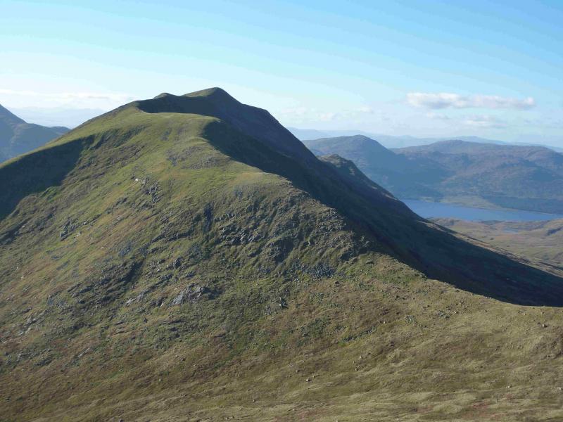
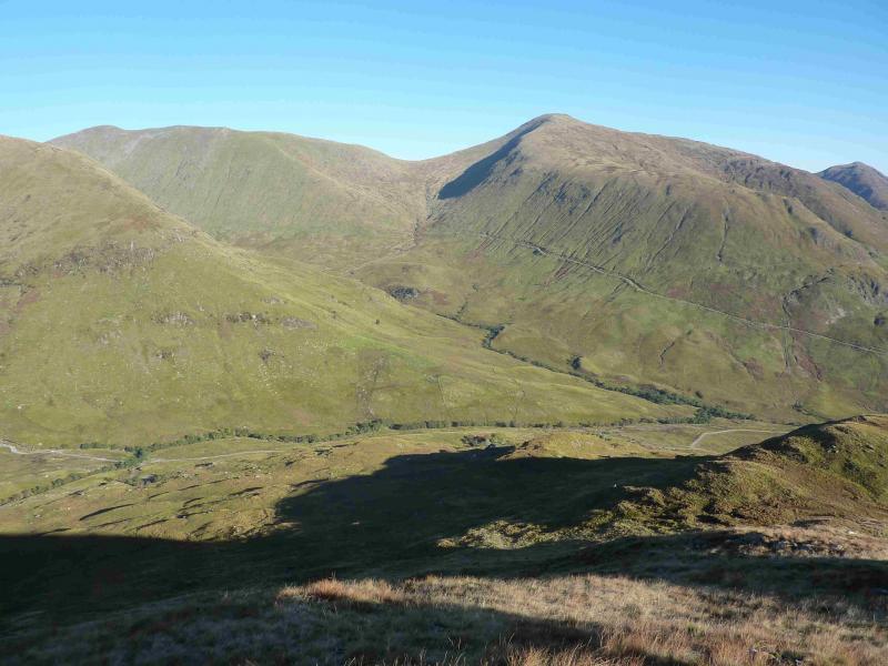
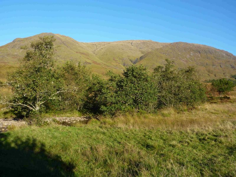
Beinn a' Chochuill & Beinn Eunaich
Beinn a' Chochuill & Beinn Eunaich from Castles Farm, Glen Strae
Start/Finish
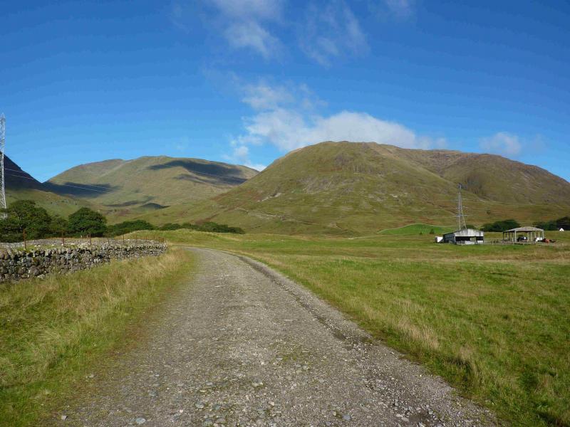
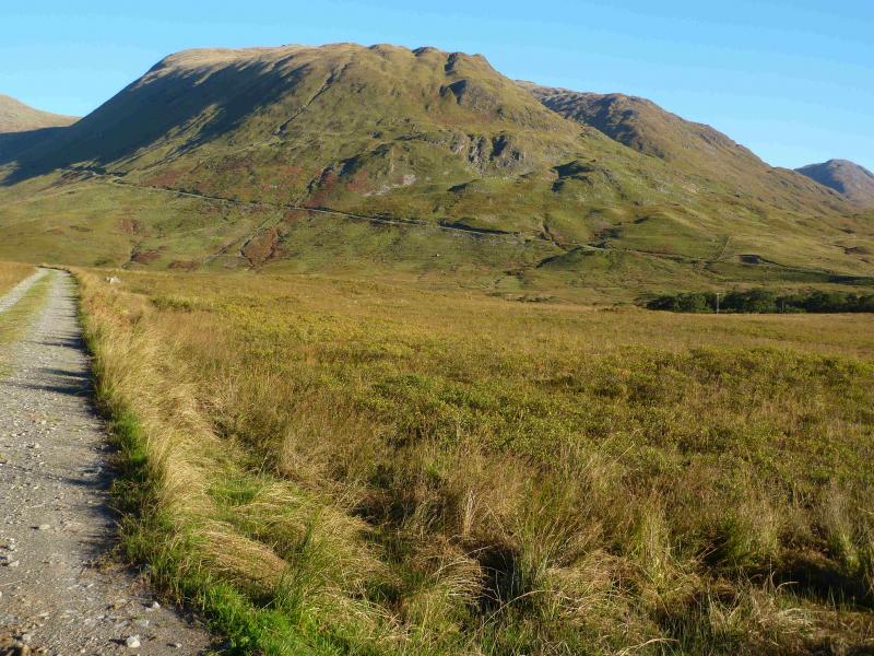
The track off the B8077 road in Glen Strae which is the entrance to Castles Farm at NN 137 288. This is about half a mile up the B8077 which leaves the A85 Dalmally to Connel road at NN 132 284. There is very limited parking on this minor road so park sensibly. You may have to park some distance from the start of the track.
Distance/Time
13 km About 6 – 7 hours.
Peaks
Beinn a' Chochuill, 980 m, NN 110 328.
Beinn Eunaich, 989 m, NN 135 328. OS sheet 50.
Introduction
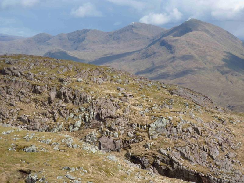
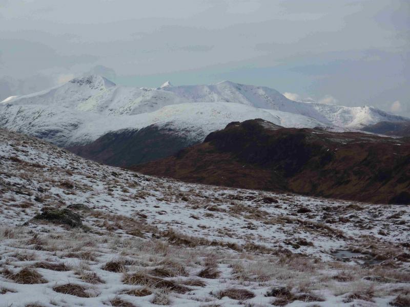
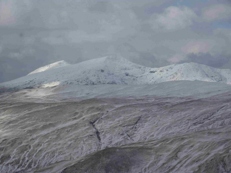
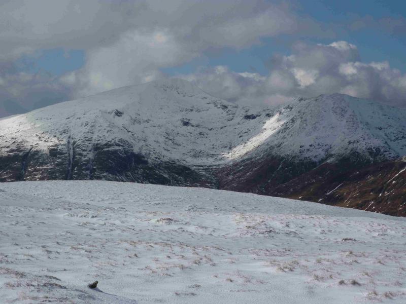
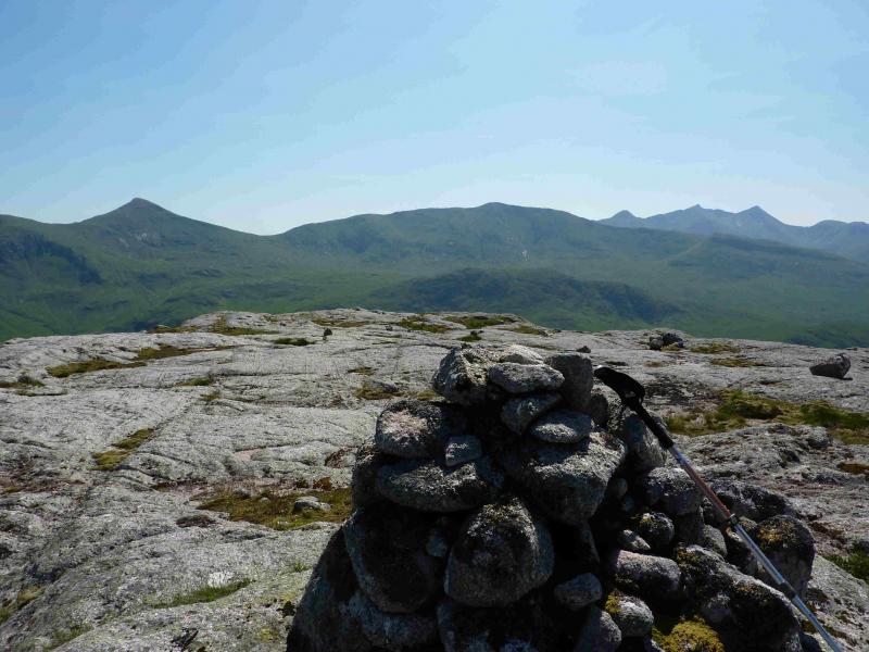
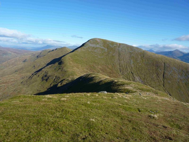
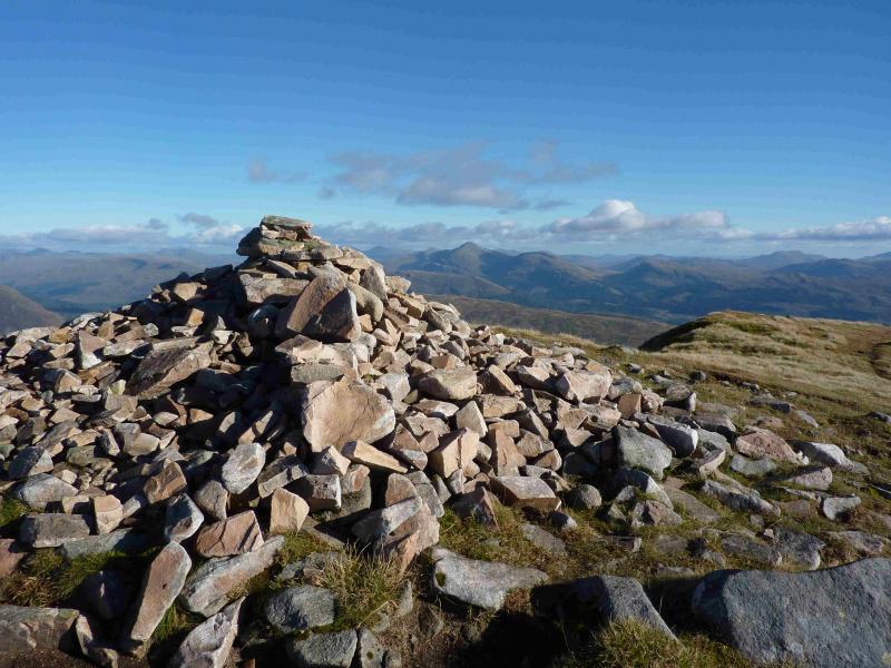
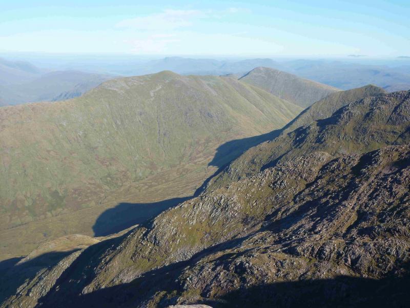
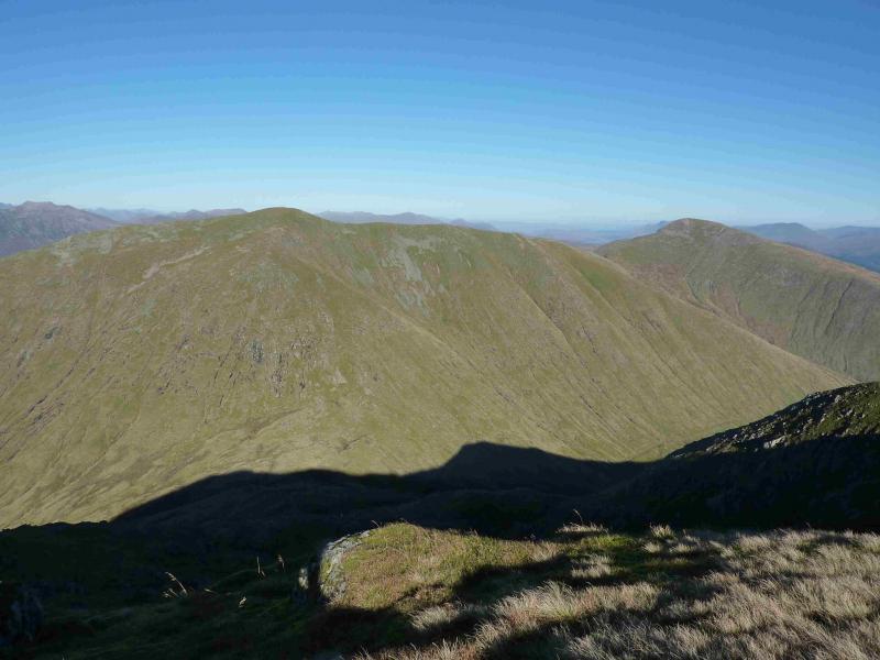
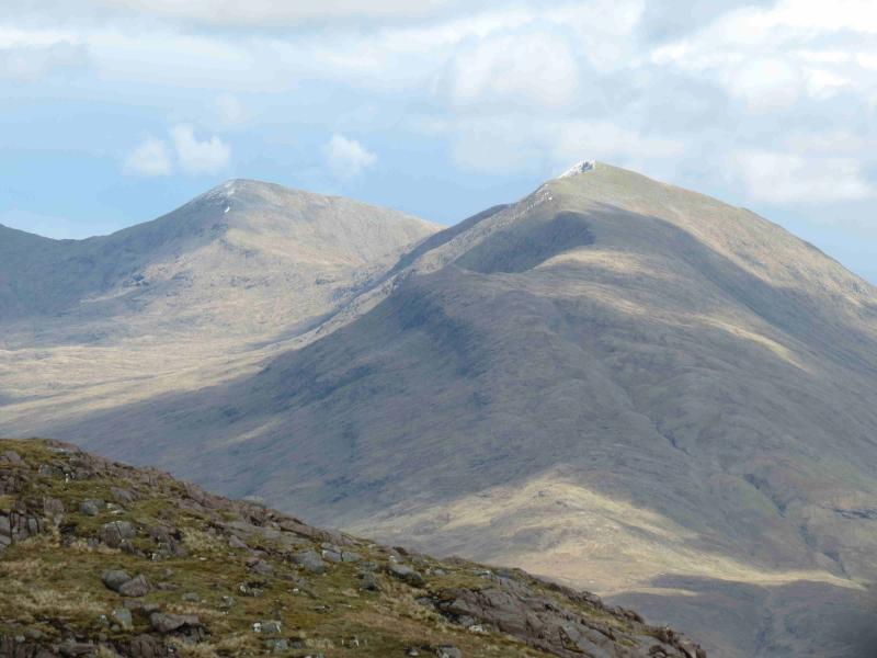
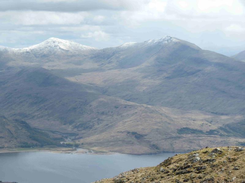
From the north, Beinn Eunaich appears as a pointed peak although not as pointed as Ben Cruachan or the Taynuilt Peak. Much of this walk is fairly straightforward apart from the final part of the descent from Beinn Eunaich to the hydro track which is quite steep and would be a problem for the inexperienced in winter conditions. Both peaks are excellent viewpoints particularly for Stob Daimh and Ben Cruachan to the south west. On a clear day, Ben Lui, Beinn Bhuidhe, Ben Starav, Ben More, Stob Binnein and Ben Challum plus many more are all visible.
Route
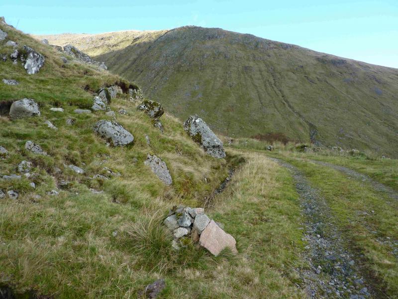
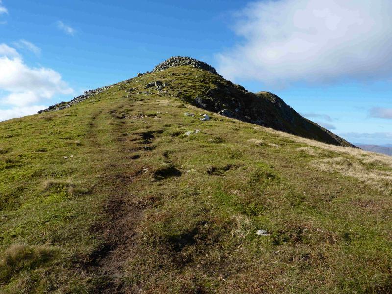
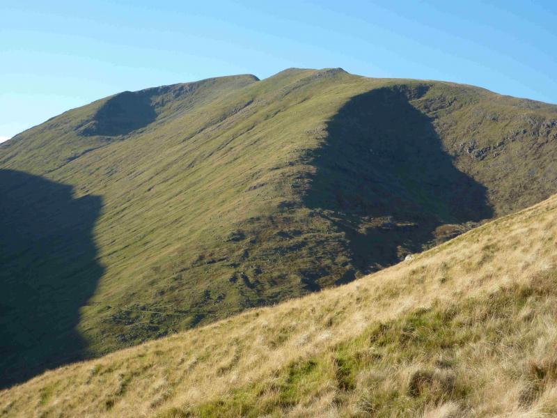
(1) Walk up the track towards Castles Farm but take the hydro track, through a gate, to the W of the farm. Follow this up noting the cairn on the track which is where the descent path off Beinn Eunaich comes down to. Cross a bridge over the burn flowing down from the bealach between the two Munros. Continue for about 400 m to where another track cuts back to the right. Take this track and follow it where it levels out by a small cairn. This marks the start of the steep grassy, sometimes wet, path up the SSE ridge of Beinn a' Chochuill. At the top of this ridge, where the E ridge is joined is a small cairn. Turn left, W, and follow the well defined ridge up to the large cairn which marks the summit of Beinn a' Chochuill, 980 m.
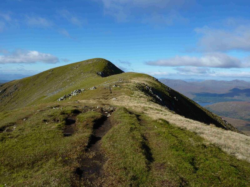
(2) Retrace back to the cairn then stay on the E ridge where a distinctive path leads down to a well defined bealach. Ascend the other side, still on a path which ascends E then S to reach a small plateau where a medium cairn marks the summit of Beinn Eunaich, 989 m.
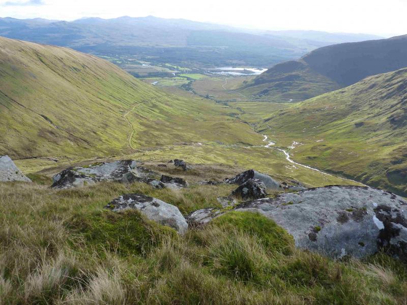
(3) Descend down the S ridge where the path is fairly obvious. Lower down the path drops off to the right, at about NN 134 306, and zig-zags down steeply to the cairn on the hydro track. This path is showing signs of erosion so take care on the descent. The path might be difficult to locate under snow. It is not advisable to continue to the end of the ridge as it ends in crags. Once on the track, retrace the outward route to the start.
Notes
(a) This walk took place on 20th August, 1994, 30th May, 2005, and 10th October, 2013.
Photos - Hover over photo for caption. Click on to enlarge. Click on again to reduce.