Get Lost Mountaineering
You are here: Scotland » 03 North-west Argyll, Appin and Glencoe » Ben Cruachan to Bridge of Orchy & Tyndrum
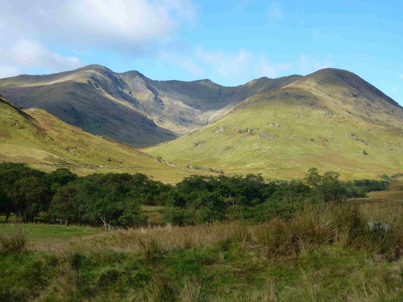
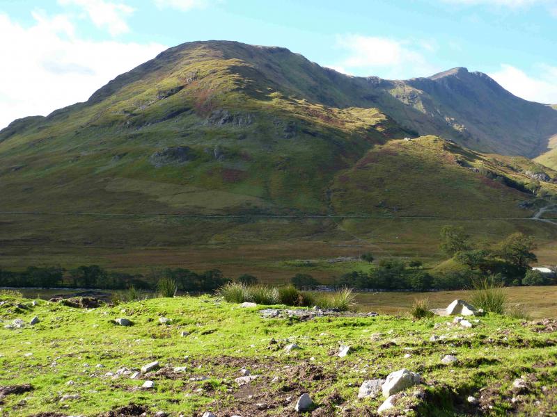
Beinn a' Bhuiridh & Stob Diamh
Beinn a' Bhuiridh & Stob Diamh from A85/B8077 junction
Start/Finish
The lay by opposite the hydro track gate which is on the B8077 close to where it leaves the A85 Dalmally to Connel road at NN 132 284. There is very limited parking on this minor road so park sensibly. You may have to park some distance from the start of the track.
Distance/Time
15 km About 7 hours.
Peaks
Beinn a' Bhuiridh, 897 m, NN 094 283.
Stob Garbh, 980 m, NN 095 302.
Stob Diamh, 998 m, NN 094 308.
Sron an Isean, 966 m, NN 099 311. OS sheet 50.
Introduction
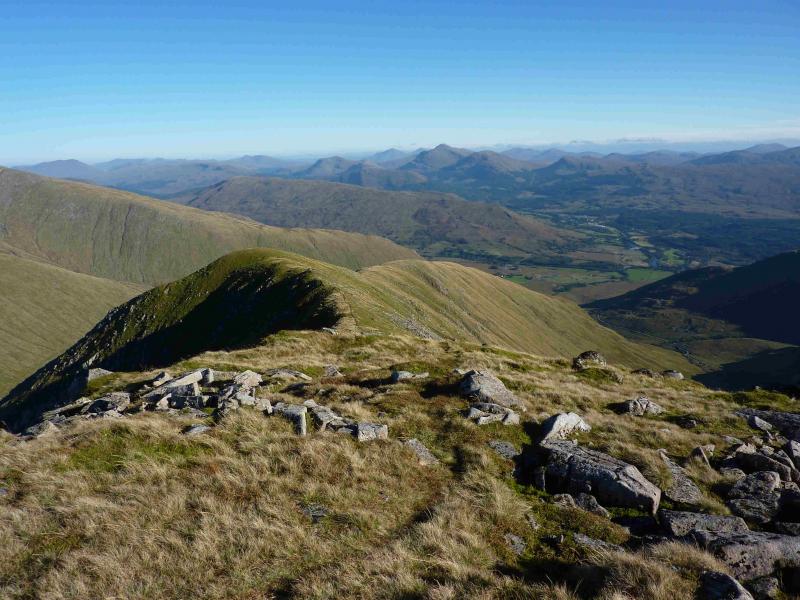
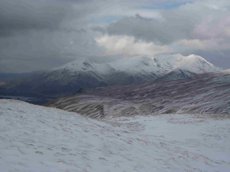
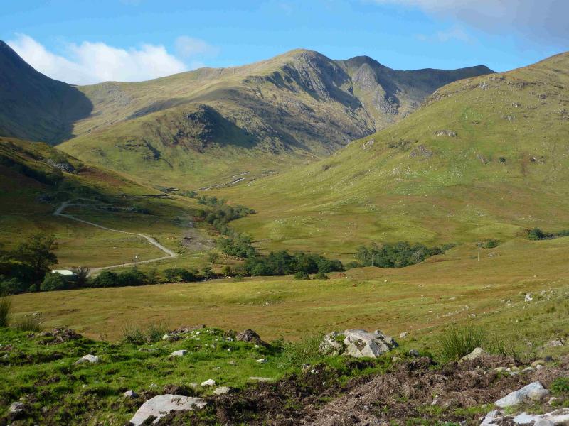
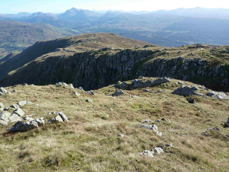
This is a strenuous circuit over a virtually pathless Corbett then a Munro and its two tops. Beinn Bhuiridh is an excellent viewpoint particularly for Stob Daimh and Ben Cruachan. On a clear day, Ben Lui, Beinn Bhuidhe, Ben Starav, Ben More, Stob Binnein and Ben Challum plus many more, even Ben Nevis, are all visible during this walk. The descent from Sron an Isean steepens nearer the bottom with a few crags which are easily avoided in good weather.
Route
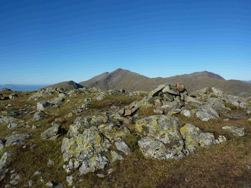
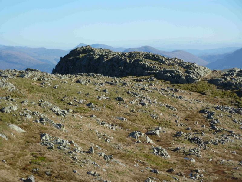
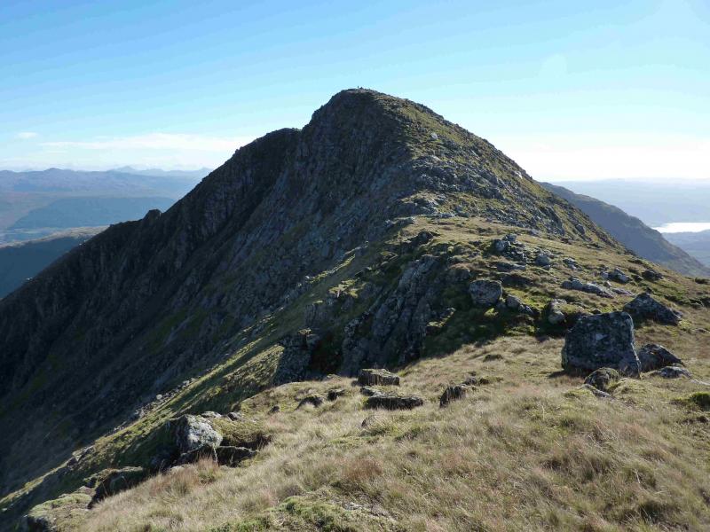
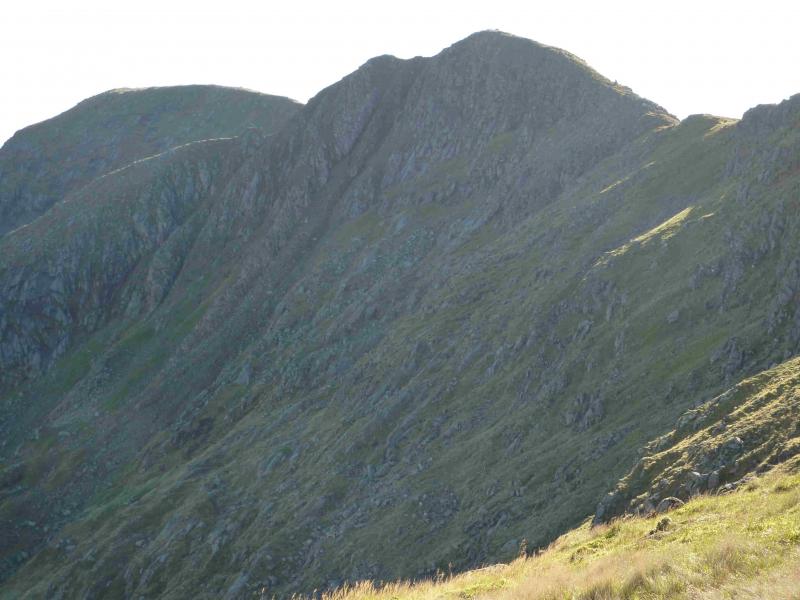
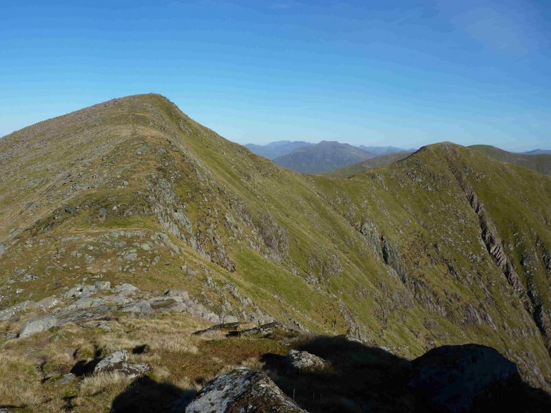
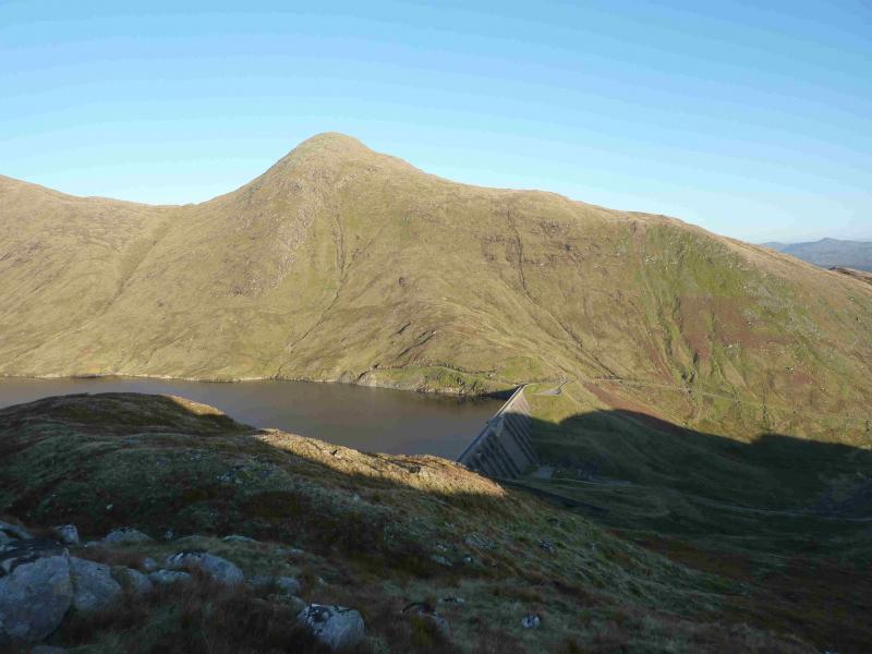
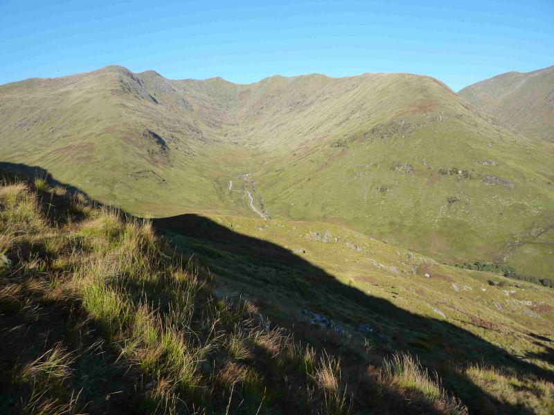
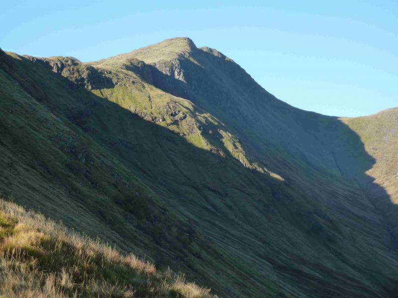
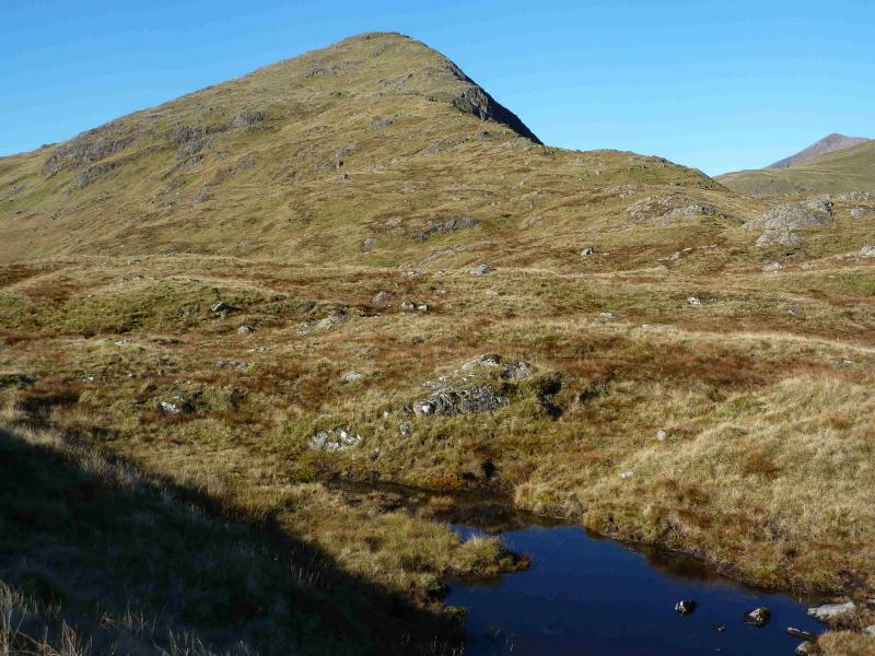
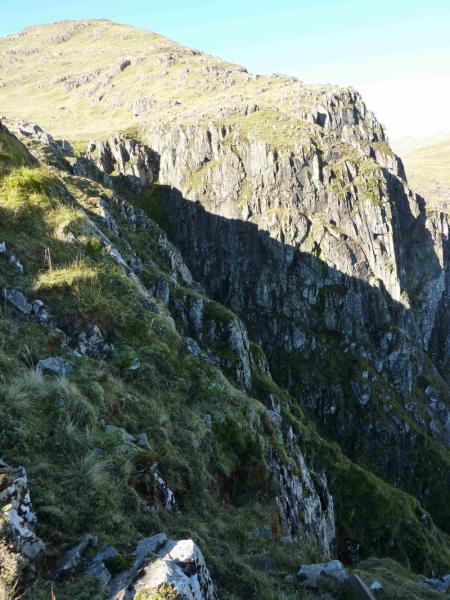
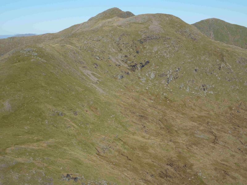
(1) Walk up the hydro track and pass through the first gate. Start climbing the steep grassy slopes on the left on fairly good ground. Once the crest is reached, the going becomes easier. Follow the crest, which is well defined initially, SW. Monadh Driseg can be traversed on its N side although in thick weather some will wish to visit its summit to know where they are! The middle section of the ridge swings W and undulates. It is more complex so it is easier to keep to the N side. The upper section of the ridge is more defined. In clear weather, it looks very impressive with some steep cliffs on its N side. Follow the ridge up, making the odd slight detour, S, around some large gullies. When the going finally eases, a small cairn will be reached which is the E top and slightly lower than the summit. Follow a path W then SW to reach the medium cairn which marks the summit of Beinn a' Bhuiridh, 897 m.
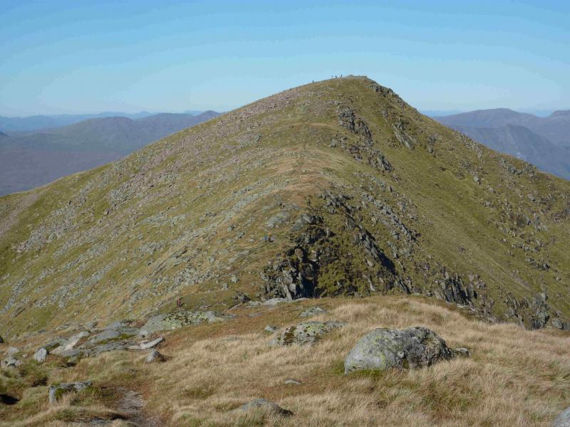
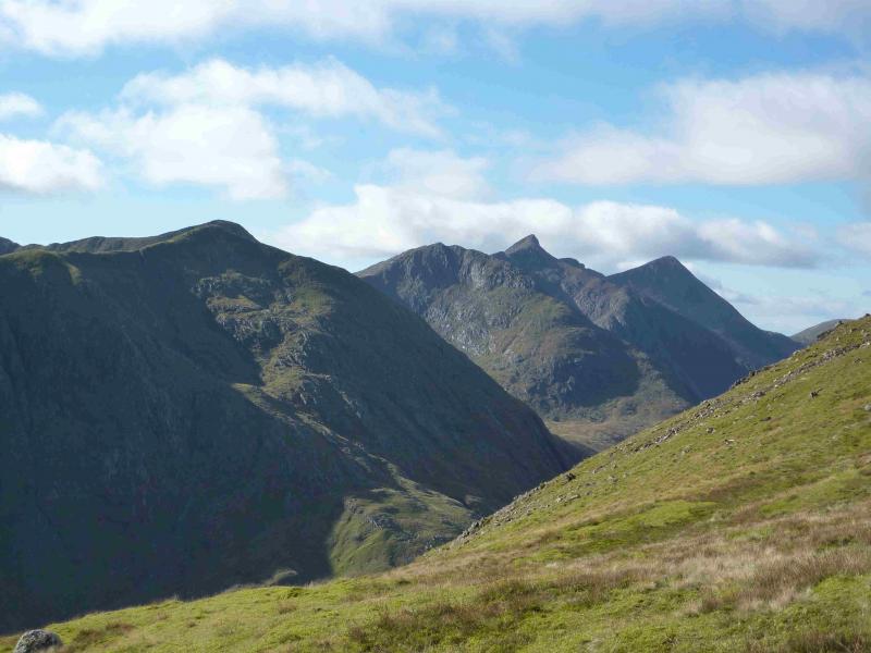
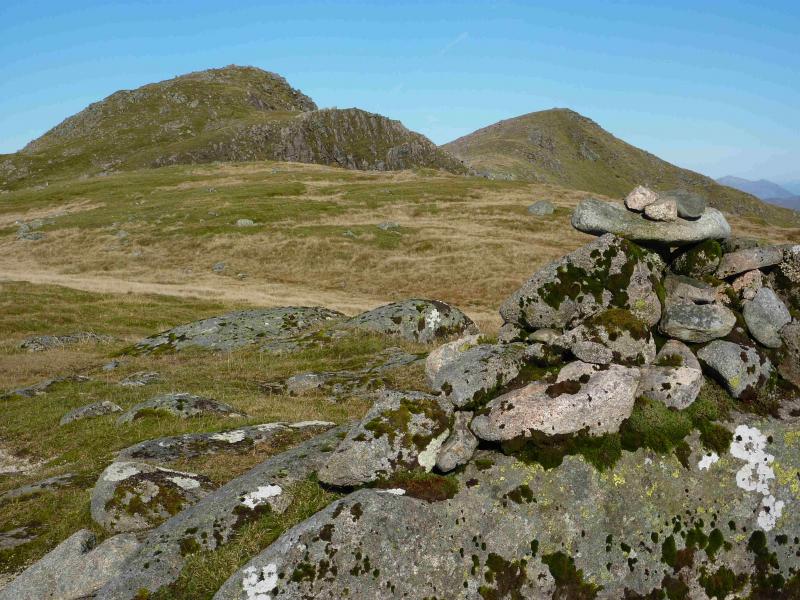
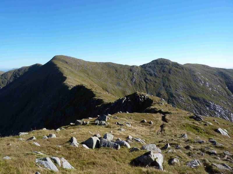
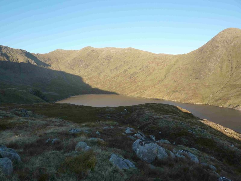
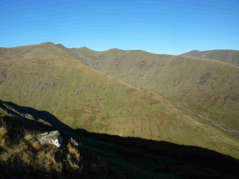
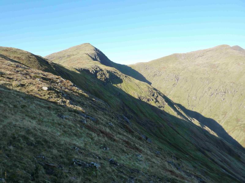
(2) The descent to the bealach towards Stob Garbh and Stob Diamh goes down a steep rocky slope so care is needed especially in wet or icy conditions. On the path between the two summits is a small cairn and a path leading down the N flank. The path is difficult to follow so carefully pick a way down the rocky slopes. There are some boulder fields but most can be avoided. Once the gradient eases and safer grassy slopes are reached, head N across the bealach and start ascending the pleasant (short grass) S ridge of Stob Diamh. There is a faint path to begin with which becomes very distinctive when the ascent path from the reservoir is joined. A minor top is reached with a small cairn before crossing a shallow dip followed by a short ascent to reach a medium cairn which marks the summit of Stob Garbh, 980 m.
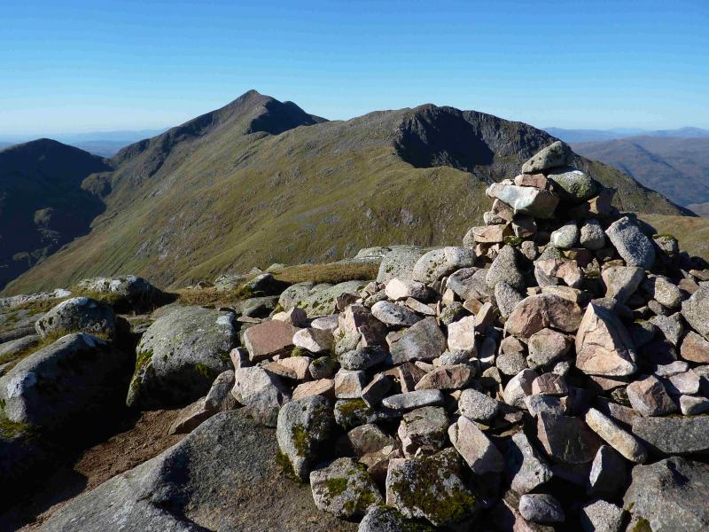
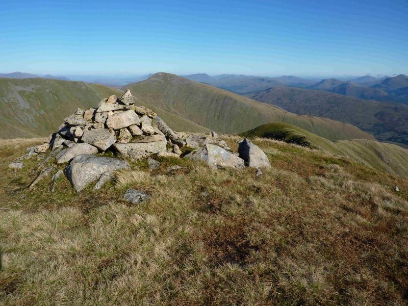
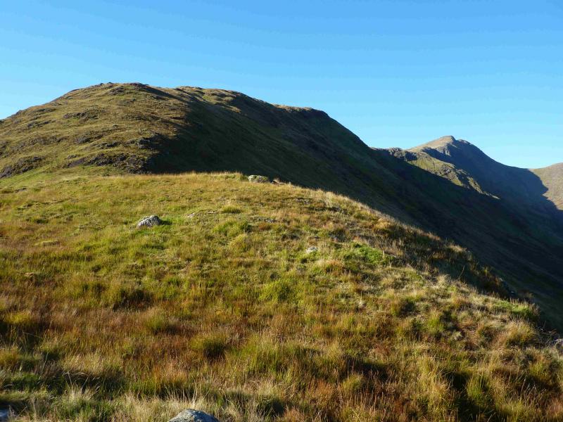
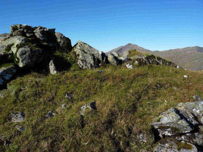
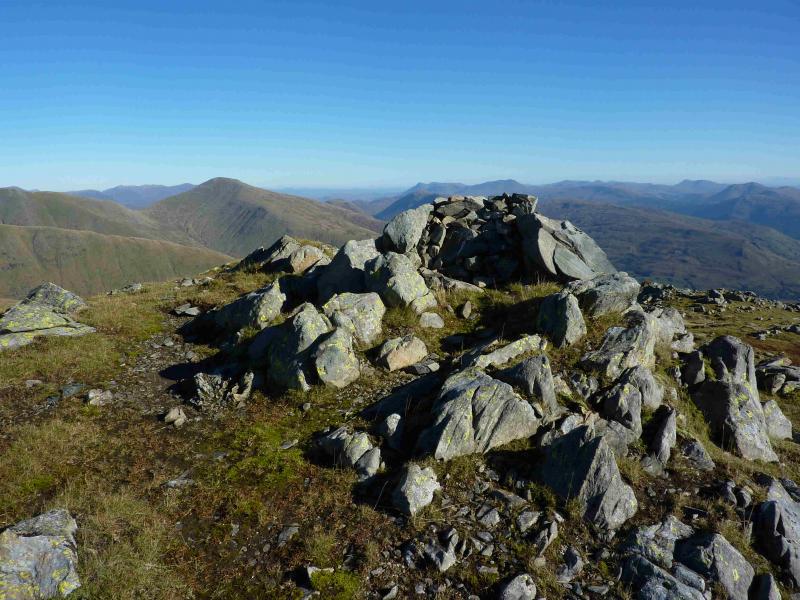
(3) Make a short easy descent N along the well defined ridge then another short ascent leads to the large cairn which marks the summit of Stob Diamh, 998 m.
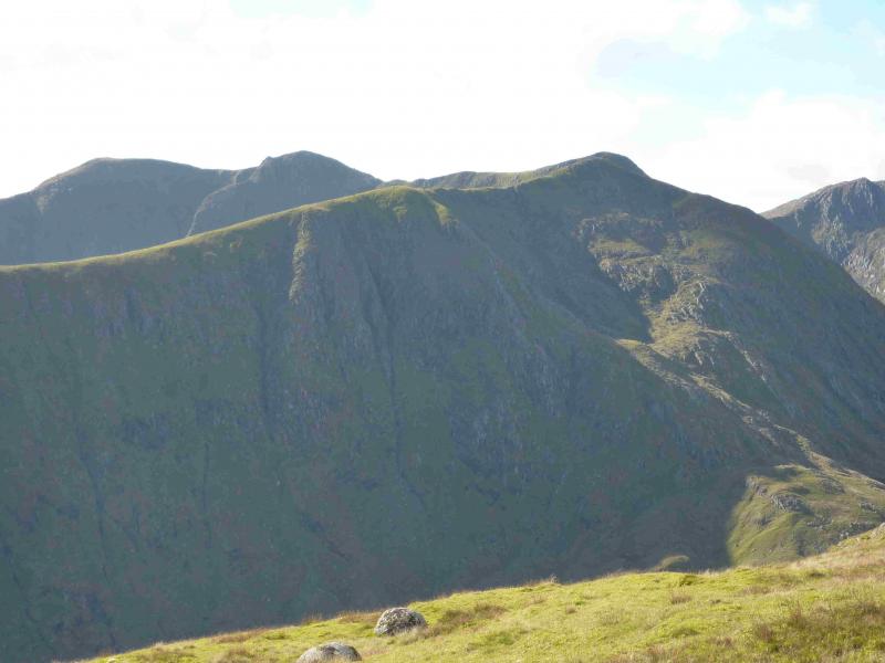
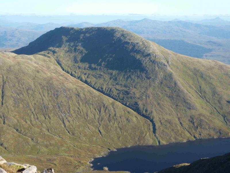
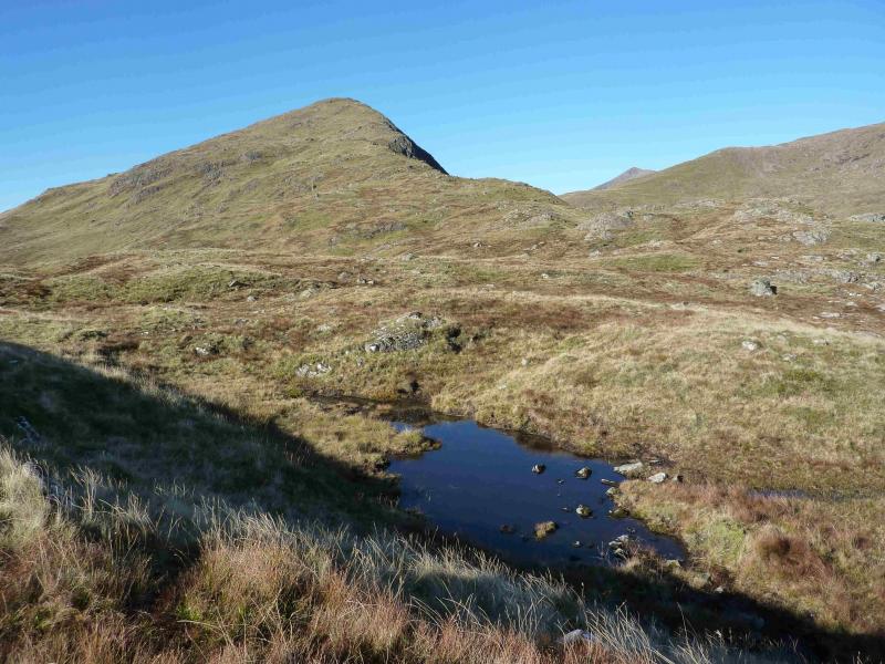
(4) Descend SW on a path down steep slopes to a grassy bealach then ascend to the medium cairn which marks the summit of Sron an Isean, 966 m.
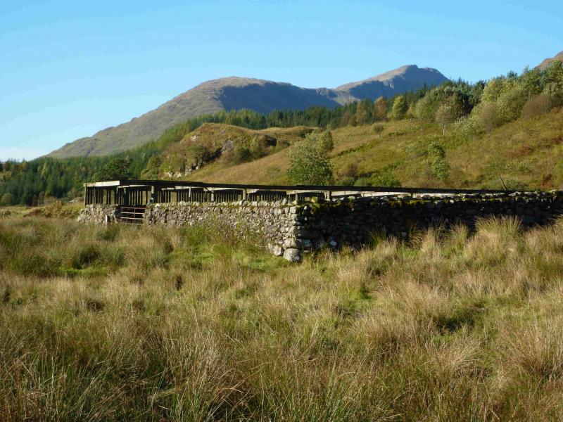
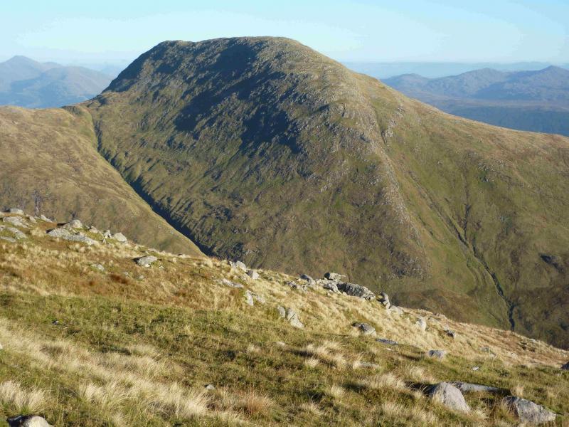
(5) Descend E, on a good path, gradually turning SE then almost S. Higher up, the ridge slopes gently but lower down it steepens and there are some crags. These can usually be spotted from above by their trees. The crags are easily avoided in good weather and soon the angle eases again. Head for the burn on the right, aiming for about 300 m before it meets the burn on the left. Cross the burn by the bridge. Walk across a short section of rough ground to gain a track which soon joins the outward one. Note that there is not a bridge further upstream even though it may appear so from the lower part of the ridge. This “bridge” is in fact a pipe crossing and should be avoided.
Notes
(a) This walk took place on 12th October, 2013 and on 1st June, 2006.
Photos - Hover over photo for caption. Click on to enlarge. Click on again to reduce.
 of Beinn a' Bhuiridh from E top.jpg)