Get Lost Mountaineering
You are here: Scotland » 03 North-west Argyll, Appin and Glencoe » Ben Cruachan to Bridge of Orchy & Tyndrum
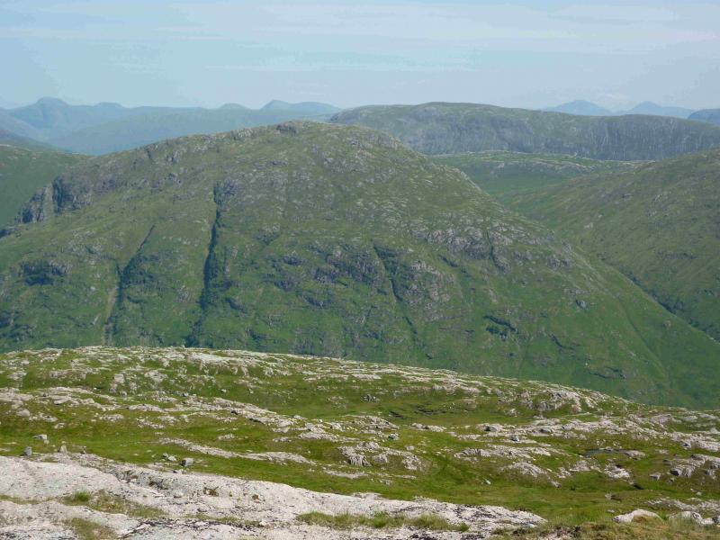
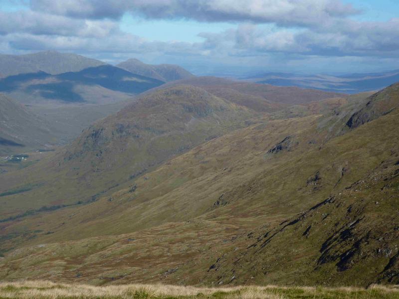
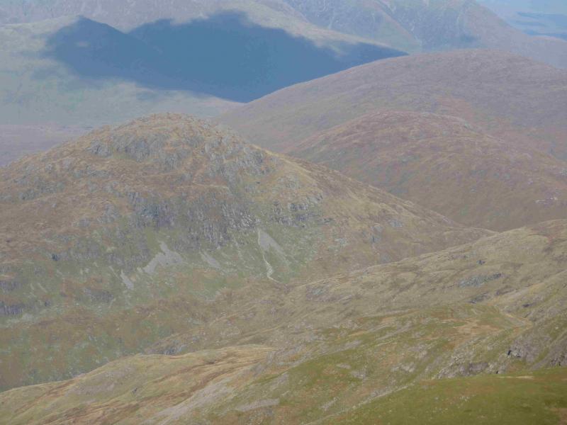
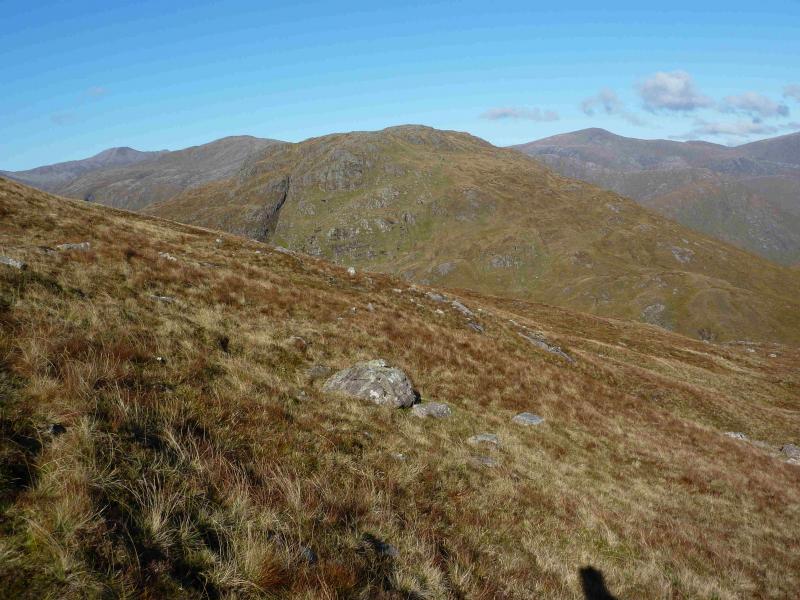
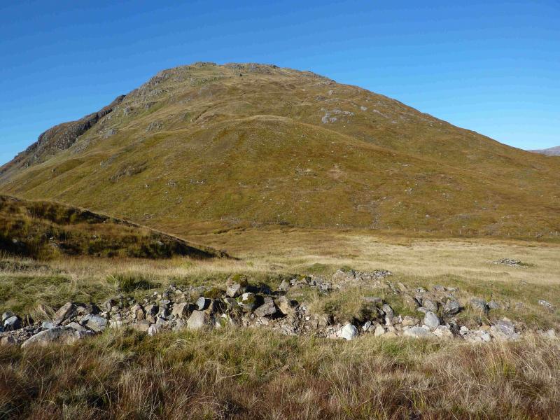
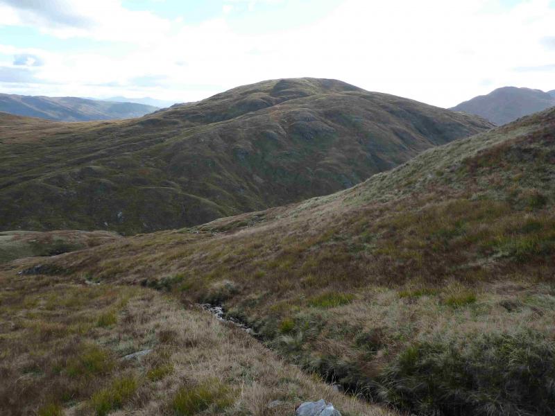
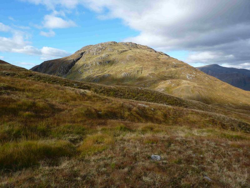
Meall Garbh, Glen Kinglass
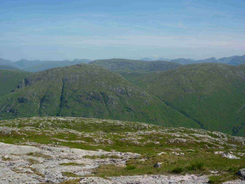
Meall Garbh, Glen Kinglass from entrance to Glen Strae
Start/Finish
The track off the B8077 road which is the entrance to Glen Strae at NN 145 294 close to the bridge over the river. This is about a mile up the B8077 which leaves the A85 Dalmally to Connel road at NN 132 284. There is very limited parking at the entrance to the glen but there seems to be no objection to parking just inside the glen so long as it is before the notice about vehicular access.
Distance/Time
19 km About 8 – 9 hours.
Peaks
Meall Garbh, 701 m, NN 168 367. OS sheet 50.
Introduction
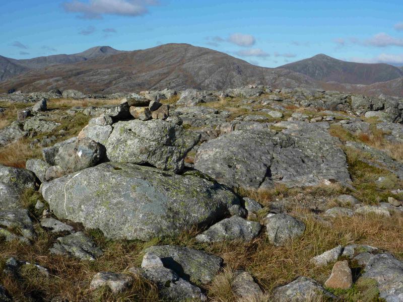
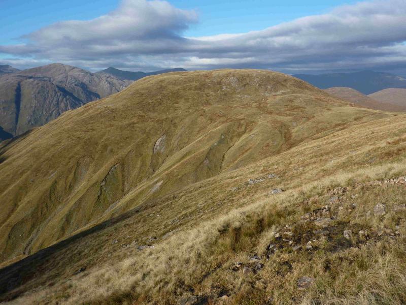
Meall Garbh is a relatively straightforward peak to ascend but getting to it is the problem. There is no quick route to its foot. The route described is about the shortest but, even so, much of the day is spent reaching the hill rather than climbing it. Meall Garbh is worth it though as it offers excellent views, especially across Glen Kinglass to Beinn nan Lus (another hard to get at hill), Ben Starav, Beinn nan Aighenan, Glas Bheinn Mhor, Stob Ghabhar and Beinn Mhic-Mhonaidh plus many more.
Route
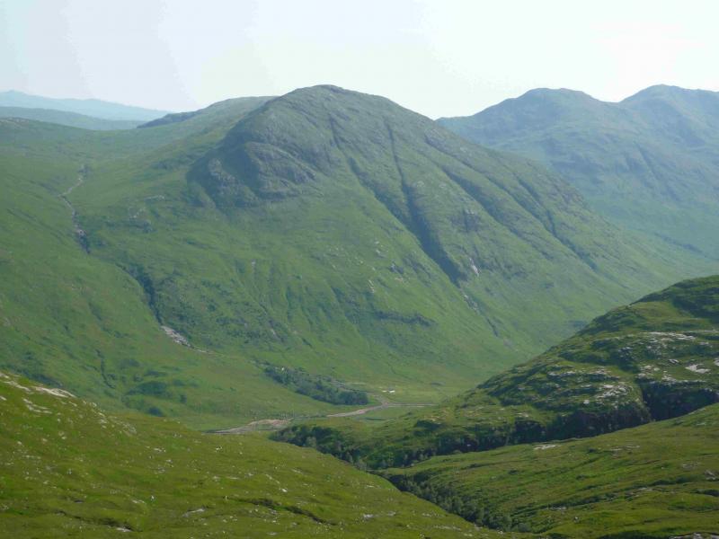
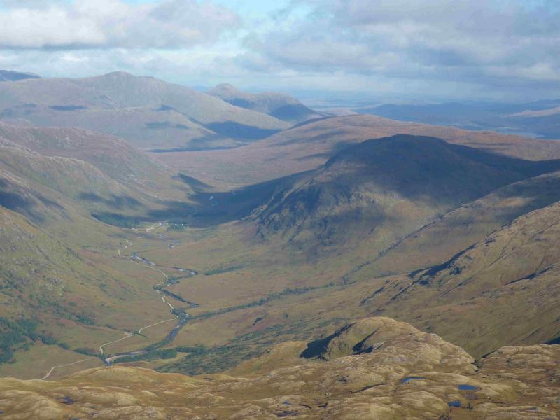
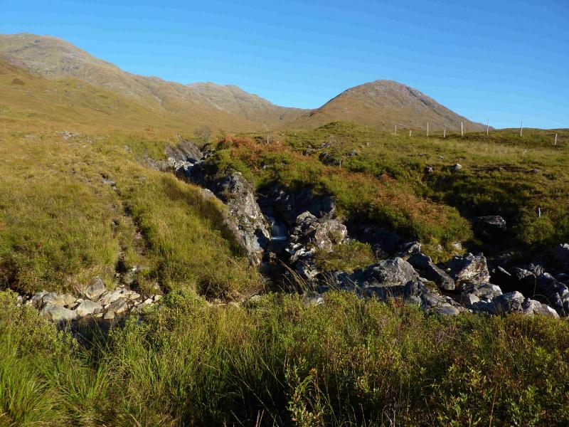
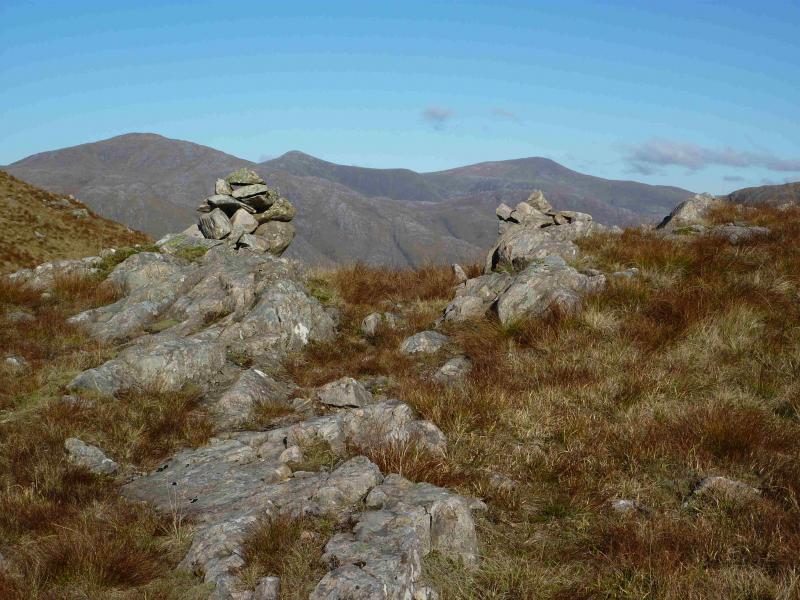
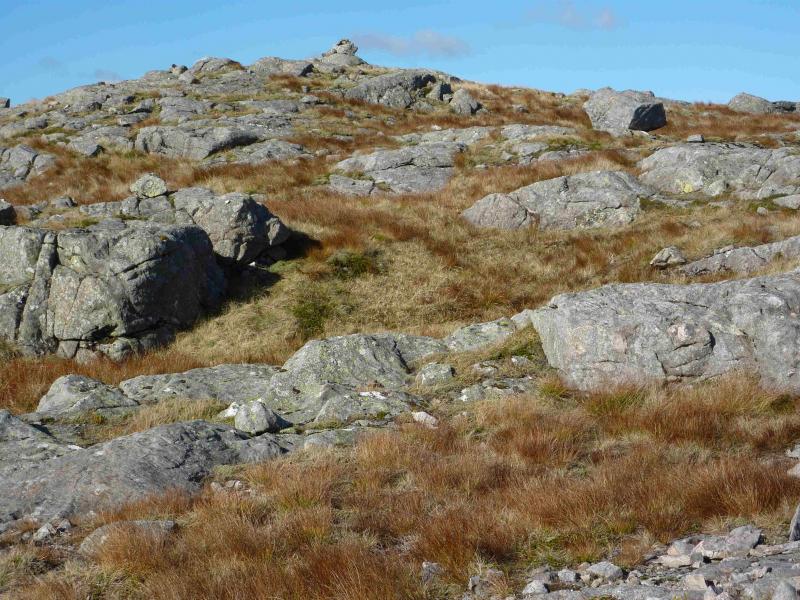
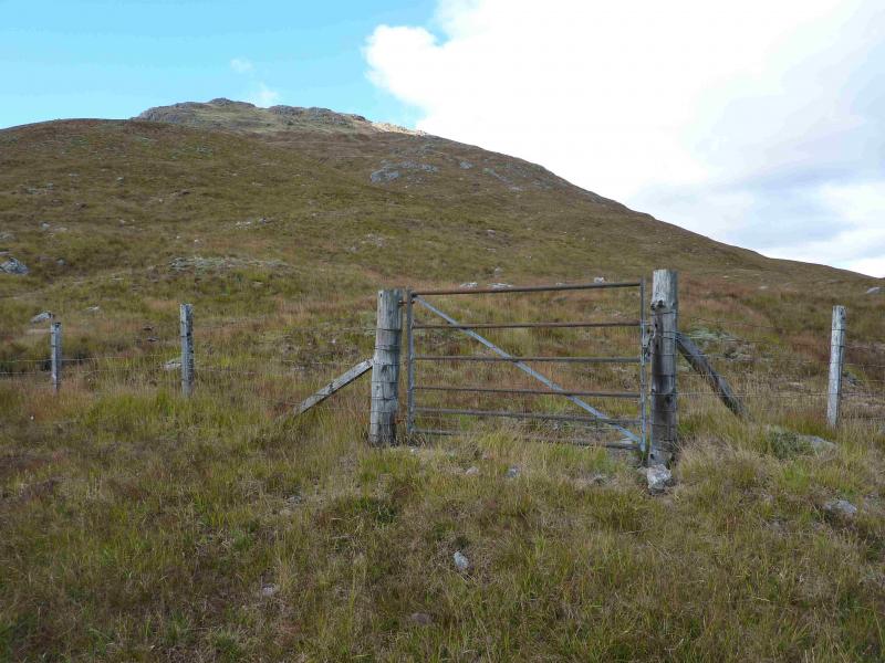
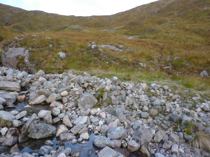
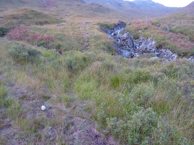
(1) Walk up the Glen Strae track, going left at the first fork, for just under 2 km, passing a plantation on the left and two lochans on the right to reach the bridge over the Allt Dhoireeann. Just before the bridge, take the path up the W side of the burn. The path joins with an ATV track initially but splits off to cross the first tributary so follow the path which is not brilliant but better than the often boggy ATV track. The path goes up the W side of the burn and is faint in places. It joins up again with the ATV track to cross a tributary between two small waterfalls but then immediately forks left. This is not obvious and the track may be inadvertently followed instead. Continue on the path to reach the point where the main burn is crossed. There are cairns, diagonally opposite about here. The path is now between two burns on a steep “ridge” and close to the right burn initially. One can follow the path to the bealach where it passes between two cairns then go E then NE traversing below Beinn Lurachan. The lochan shown in the bealach exists but may not be seen as it is in a hollow. To be sure of visiting the lochan, follow the right hand burn to its source then pick up the route E then NE. Continue to the bealach between Beinn Lurachan and Meall Beithe. Traverse Meall Beithe on its E side on easy gentle grassy slopes. Even better ground is lower down which is not a problem as height has to be lost anyway. Aim for the bealach between Meall Beithe and Meall Garbh at about NN 172 361. A stream runs NE off Meall Beithe towards this bealach. Meall Garbh is fenced off on its S and E side with a gate in the bealach. From the gate, ascend NW up moderately steep slopes. There are some small crags but these are easily avoided. The summit area is a small rocky plateau where a small cairn marks the summit of Meall Garbh, 701 m.
(2) Retrace the outward route taking care not to lose the path by the Allt Dhoireann.
Notes
(a) This walk took place on 30th May, 2007, and 13th October, 2013.
(b) There seems to be no reason why Meall Beithe cannot be ascended on either the outward or return route as it is essentially grassy but this has not been checked out.
(c) It may be easier to use Beinn Lurachan in ascent or descent or both as it seems more direct but this would involve further loss of height. This variation has not been checked out.
Photos - Hover over photo for caption. Click on to enlarge. Click on again to reduce.