Get Lost Mountaineering
You are here: England » Lake District » 2 Far Eastern Fells
Gray Crag, Thornthwaite Crag, High Street, Kidsty Pike, High Raise, Rampsgill Head & The Knott from Hartsop
Gray Crag, Thornthwaite Crag, High Street, Kidsty Pike, High Raise, Rampsgill Head & The Knott from Hartsop
Start/Finish
Hartsop Village which is up a minor road to the east of Brothers Water which itself is on the A592 at the bottom of Kirkstone Pass (may be impassable in winter conditions). Drive through the village to reach a rough car park where there is limited parking. If there is no space, it may be necessary to park at the NW corner of Brothers Water as there is no other parking in Hartsop.
Distance/Time
16 km About 6 hours
Peaks
Gray Crag, 699 m, NY 427 117.
Thornthwaite Crag/Beacon, 784 m, NY 432 100.
High Street, 828 m, NY 441 111.
Kidsty Pike, 780 m, NY 447 126.
High Raise, 802 m, NY 448 135.
Rampsgill Head, 792 m, NY 443 128.
The Knott, 739 m, NY 437 127. OS 1: 50 000 , sheet 90.
OS 1: 25 000 Outdoor Leisure 5, English Lake District NE Area.
Introduction
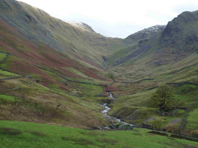
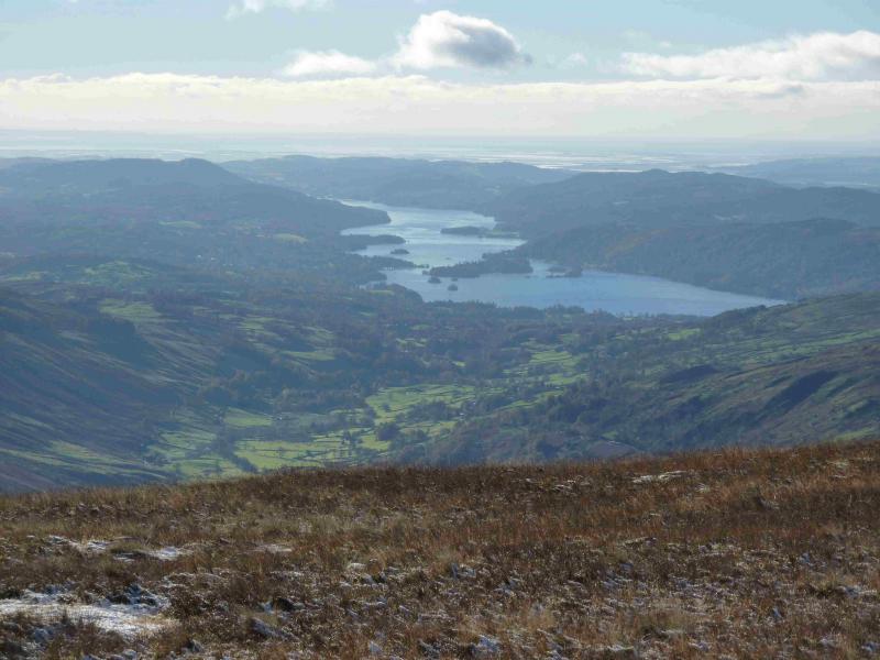
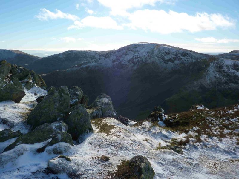
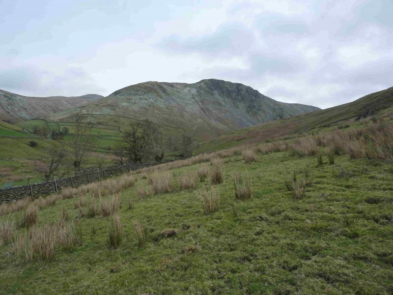
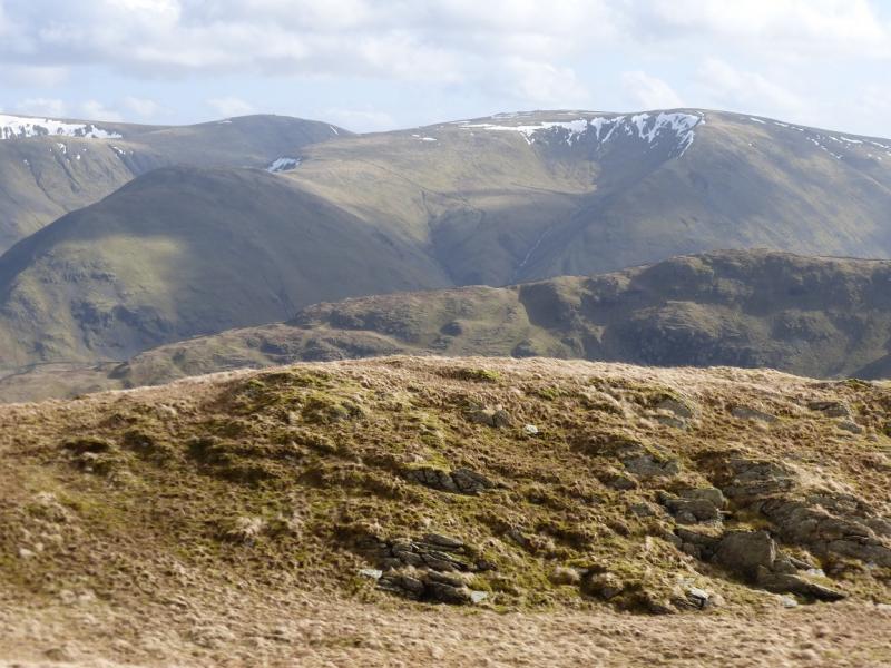
This is a lovely walk which is essentially a high level circuit of Hayeswater with an extension to Kidsty Pike, High Raise and Rampsgill Head. There are good and very distinctive paths most of the way. On a clear day, the views are excellent especially to nearby fells such as Rest Dodd, Place Fell, Froswick and Ill Bell. Across the Kirkstone Pass road, one can usually enjoy excellent views of Hartsop Above How, Red Screes, Dove Crag, Hart Crag, Fairfield, St. Sunday Crag, Dollywaggon Pike, Nethermost Pike, Helvellyn & Catstye Cam. On a very clear day, one can see the Coniston Fells, Crinkle Crags, Bowfell, Scafell, Scafell Pike, Great Gable, Skiddaw & Blencathra plus many more. It is even possible to see Whernside and Ingleborough. The length of this walk is ideal for a short winter's day.
Route
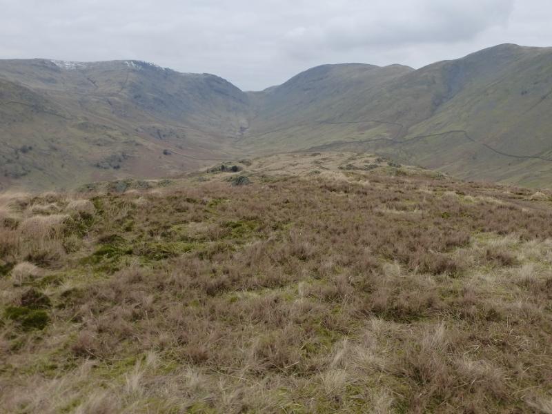
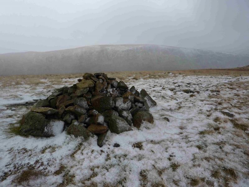
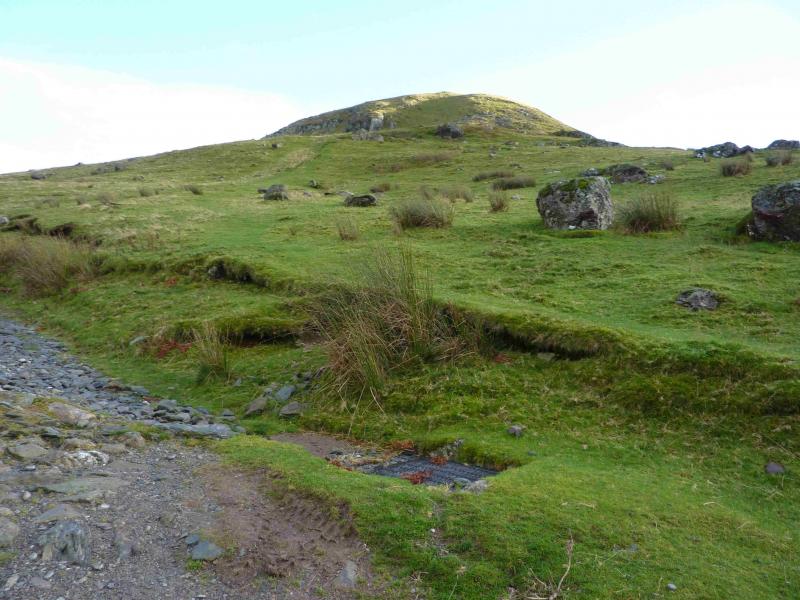
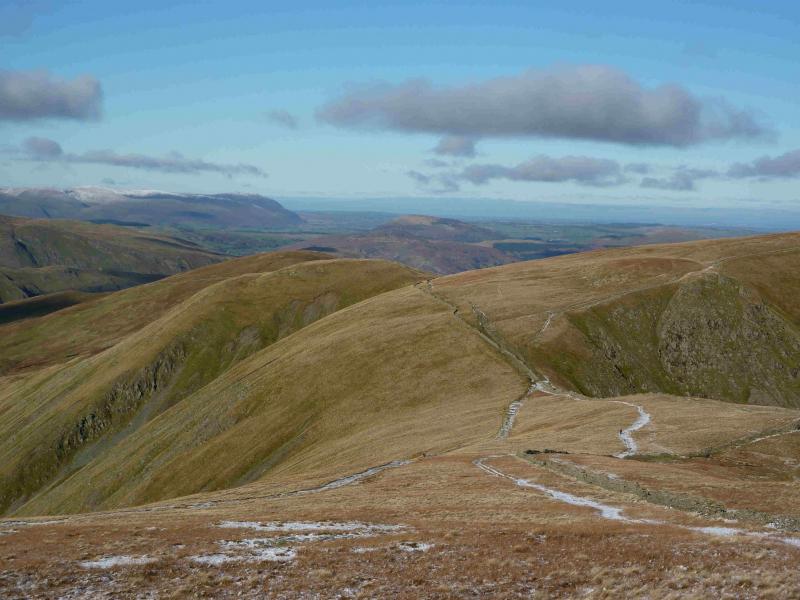
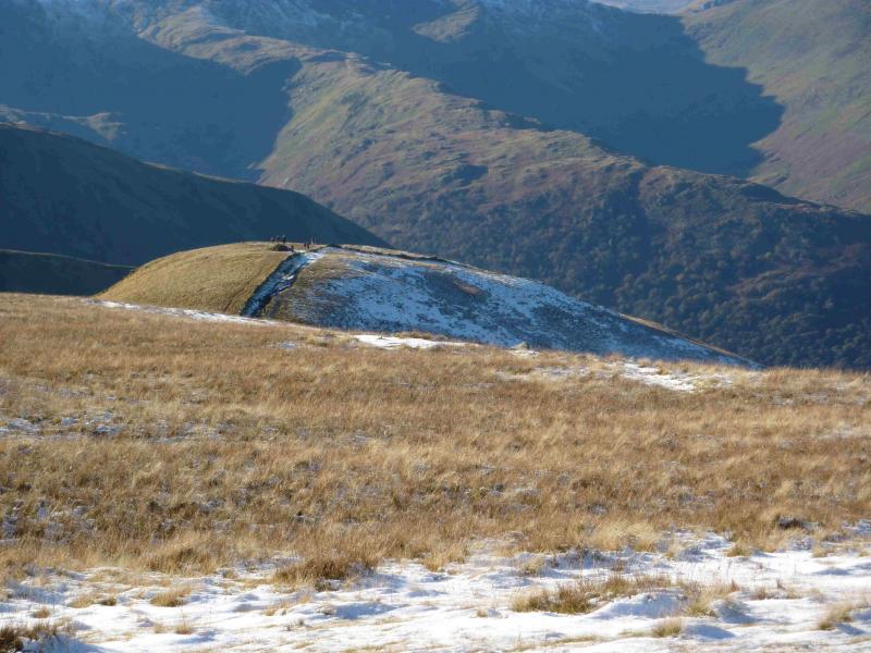
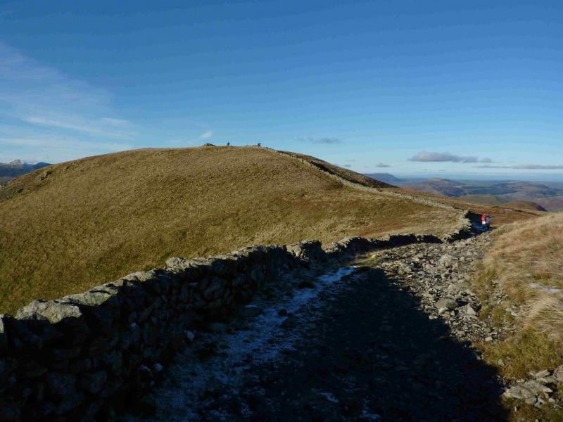
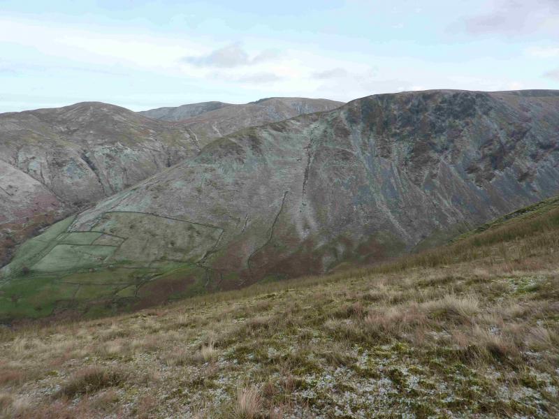
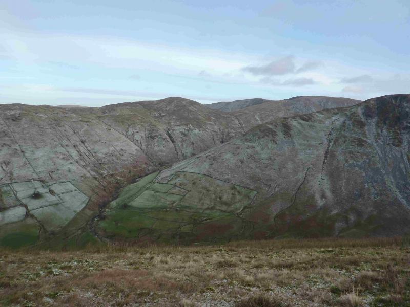
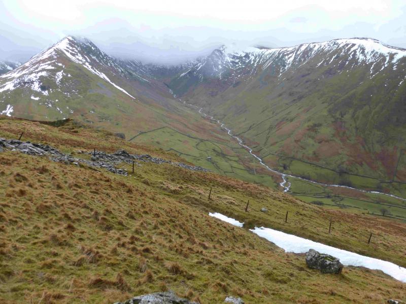
(1) From the car park, go through the next gate then continue ahead, soon crossing Hayeswater Gill by a bridge. Continue on the track on the S side of the gill until a path (looks like a grassy strip) forks off right by a drainage grid below the N ridge of Grey Crag. This is about 200 m before the Filter house on the N side of the gill. The path is relatively easy to follow and heads up, moderately steeply at first, before going to the left of the obvious crags then cutting back on to the crest. Continue up the crest until a medium cairn is reached which marks the summit of Gray Crag, 699 m.
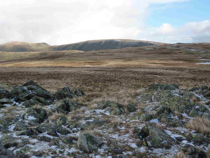
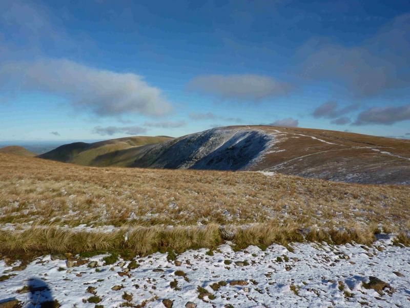
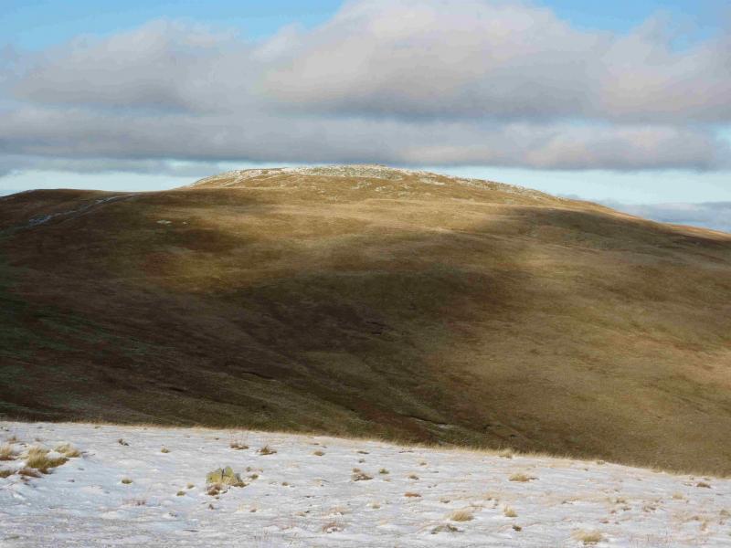
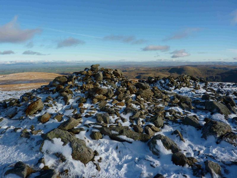
(2) Continue S, descending gradually. After about 1 km, A short rise leads to the small cairn of Pt 710. Continue S along the crest, still on a good path. In about 800 m, a wall comes in from the right which can be followed to the very tall Beacon cairn which marks the very obvious summit of Thornthwaite Crag/Beacon, 784 m. There is a good wall to shelter behind if necessary.
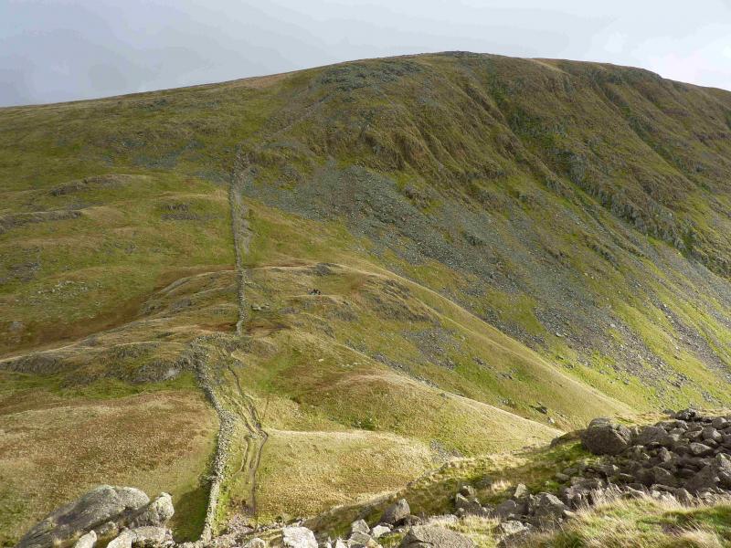
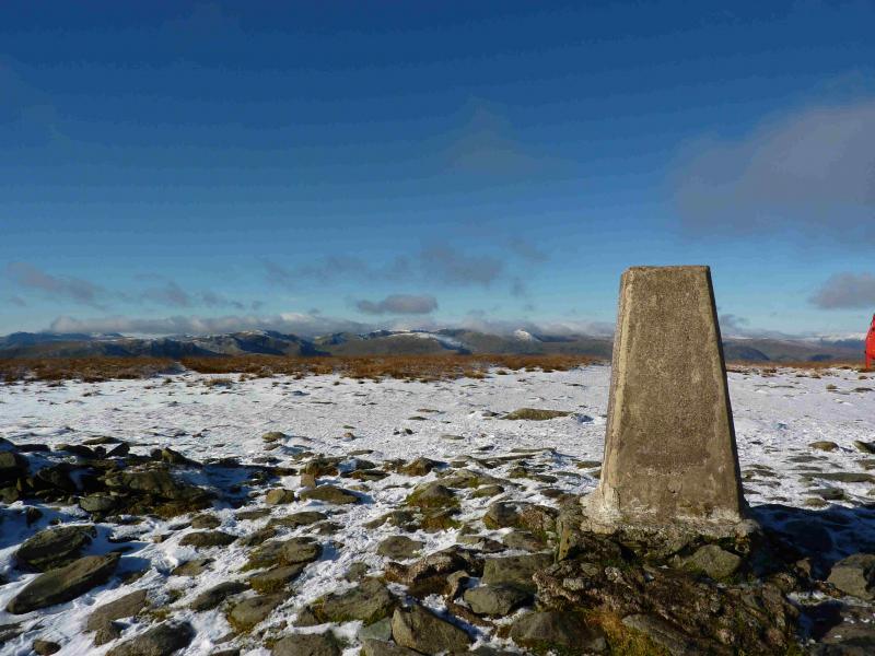
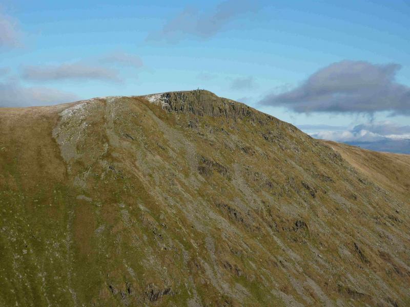
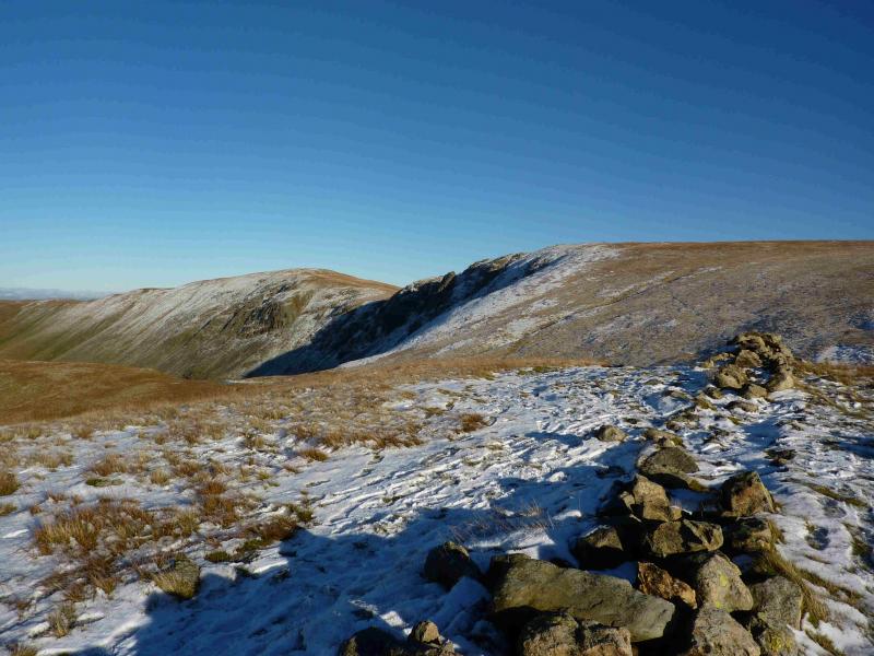
(3) Descend roughly E on an extremely obvious path which then ascends NE then N and then follows a wall to the trig point which marks the summit of High Street, 828 m.
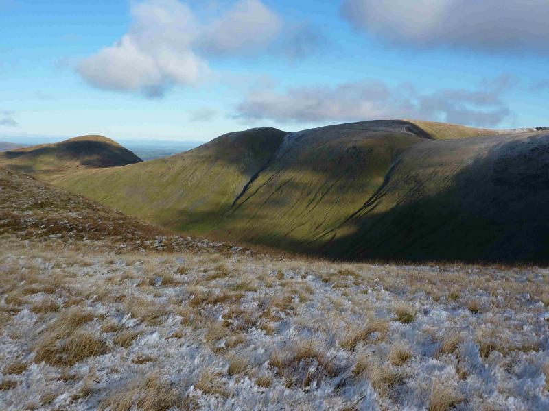
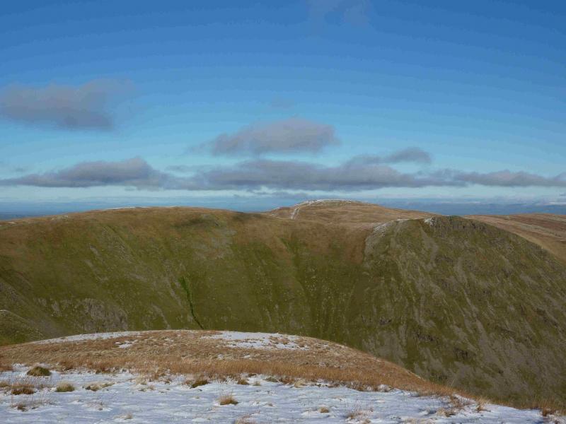
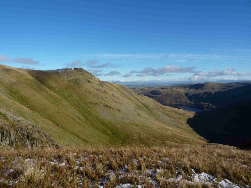
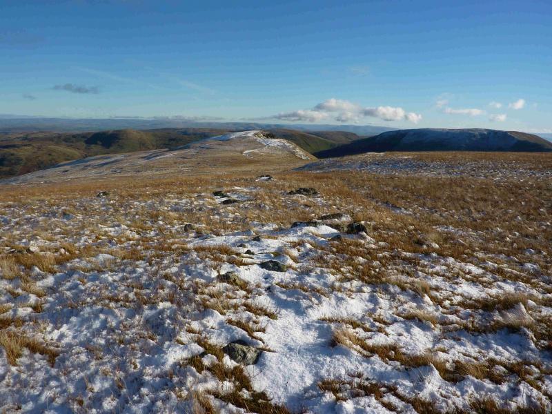
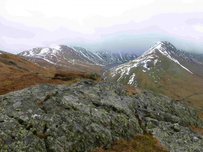
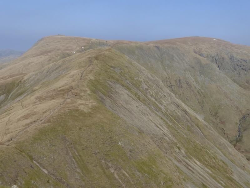
(4) Descend roughly N, following the wall. In clear weather, Rampsgill Head, High Raise and Kidsty Pike will be obvious. Before the col, there is a small cairned “bump” on the right known as Short Stile which gives good views of the crags below Kidsty Pike. Continue up from the col. When the path splits, take the right fork which traverses the S flank of Rampsgill Head then a gentle ascent leads to a small cairn, perched on the edge of the crags, which marks the summit of Kidsty Pike, 780 m.
(5) Retrace slightly from the summit then take the path which traverses the E flank of Rampsgill Head to its N col then ascend to High Raise, forking right once level ground is reached. A medium cairn marks the summit of High Raise, 802 m.
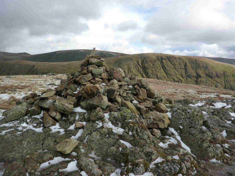
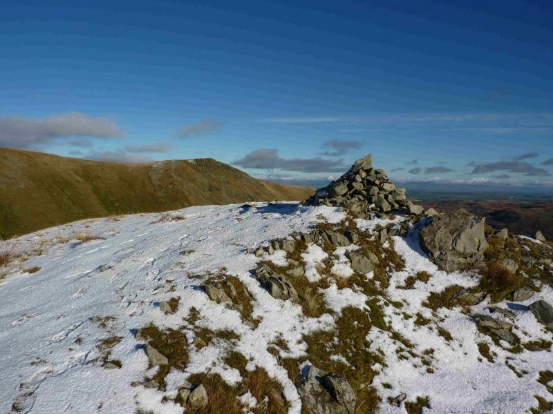
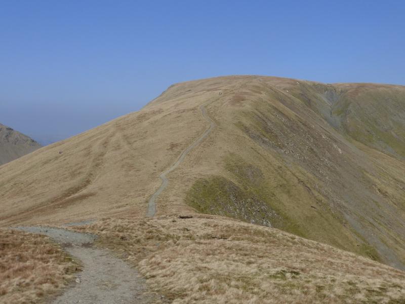
(6) Retrace to the col, then ascend the obvious path ahead which leads easily up to a plateau where a medium cairn marks the summit of Rampsgill Head, 792 m. The cairn does not seem to be obviously on the highest point.
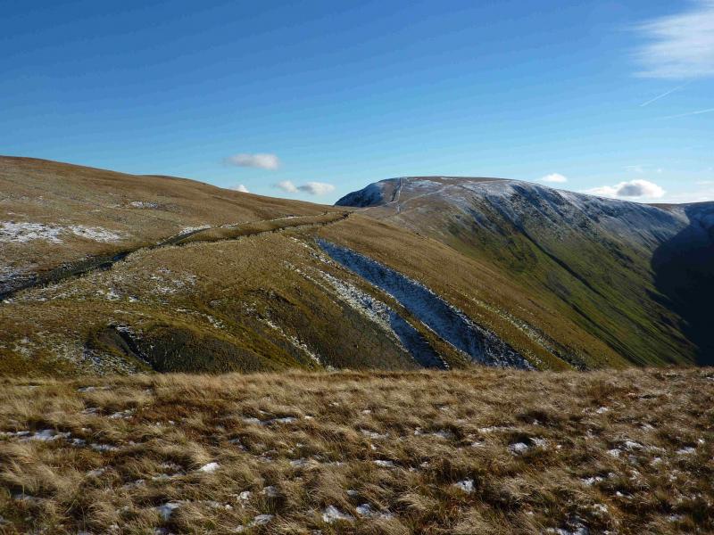
(7) Descend roughly just S of W on a distinct path which meets with the path from High Street lower down. Turn right and soon reach the foot of The Knott where a minor path leave sthe main one. Go left on the minor path and make the short ascent to the large cairn which marks the summit of The Knott, 739 m.
(8) Either retrace to the main path and follow it down or follow the wall NW from the summit to rejoin the main path lower down. Follow the path down to the small dam at the N end of Hayeswater where there is a footbridge. Cross over and follow the track back to Hartsop.
Notes
(a) This walk took place on 10th November, 2013.
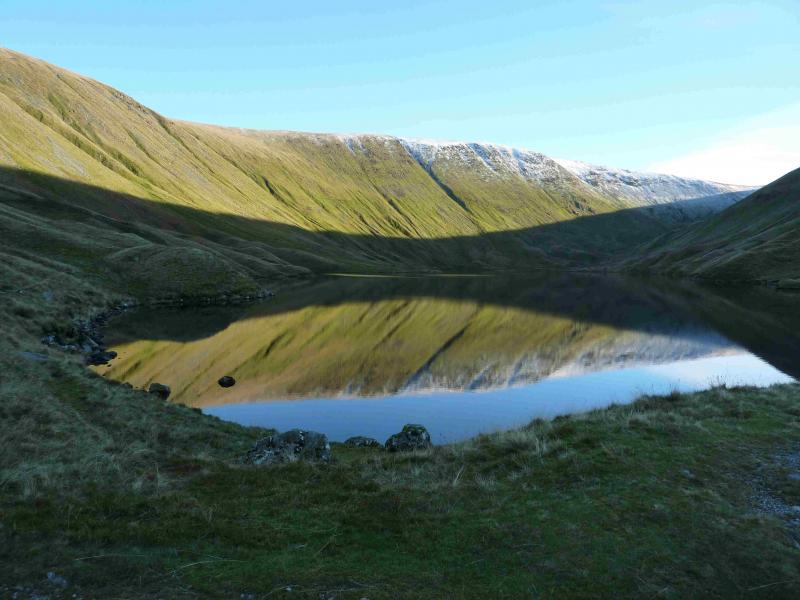
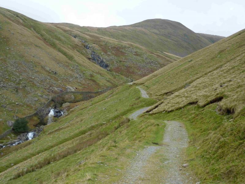
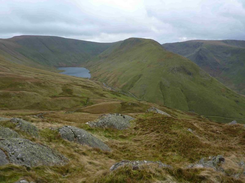
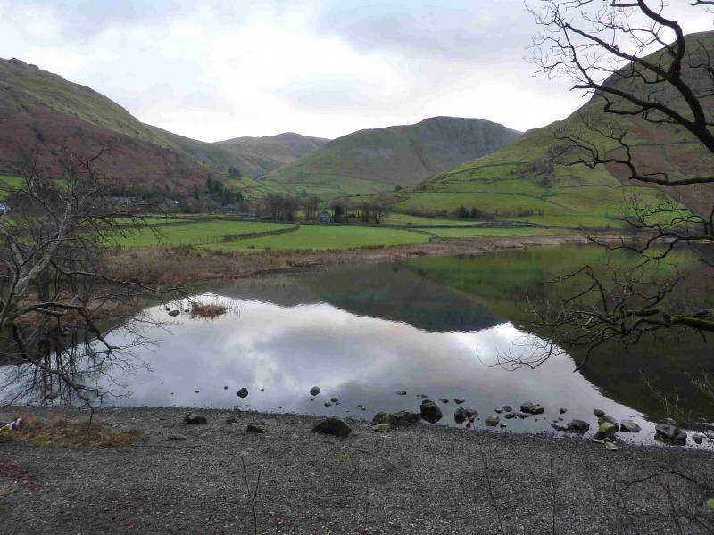
Photos - Hover over photo for caption. Click on to enlarge. Click on again to reduce.
![]()
![]()


.jpg)

![]()
![]()