Get Lost Mountaineering
You are here: England » Lake District » 2 Far Eastern Fells
Hartsop Dodd, Caudale Moor, Stony Cove Pike, Thornthwaite Crag & Gray Crag from Hartsop
Hartsop Dodd, Caudale Moor, Stony Cove Pike, Thornthwaite Crag & Gray Crag from Hartsop
Start/Finish
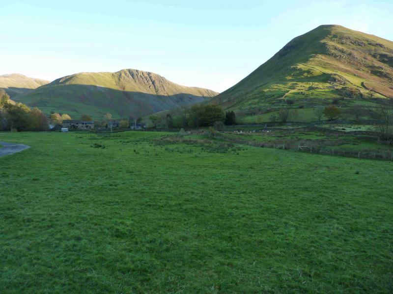
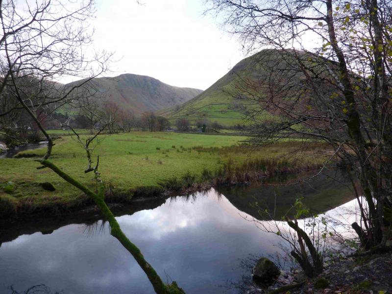
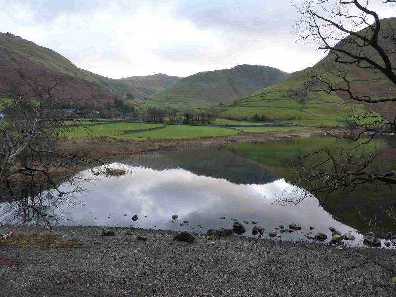
Hartsop Village which is up a minor road to the east of Brothers Water which itself is on the A592 at the bottom of Kirkstone Pass (may be impassable in winter conditions). Drive through the village to reach a rough car park where there is limited parking. If there is no space, it may be necessary to park at the NW corner of Brothers Water as there is no other parking in Hartsop.
Distance/Time
9 km About 4 - 5 hours
Peaks
Hartsop Dodd, 618 m, NY 411 118.
Caudale Moor, c 750 m, NY 414 101.
Stony Cove Pike, 763 m, NY 418 100.
Thornthwaite Crag/Beacon, 784 m, NY 432 100.
Gray Crag, 699 m, NY 427 117. OS 1: 50 000 , sheet 90.
OS 1: 25 000 Outdoor Leisure 5, English Lake District NE Area.
Introduction
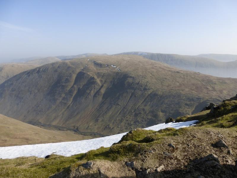
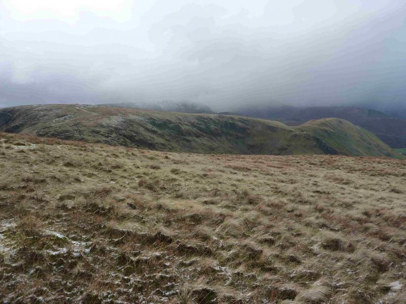
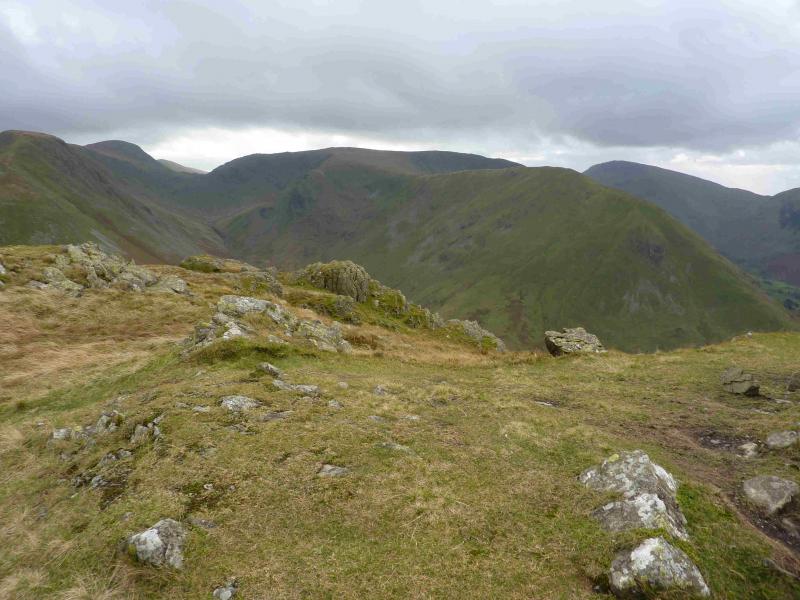
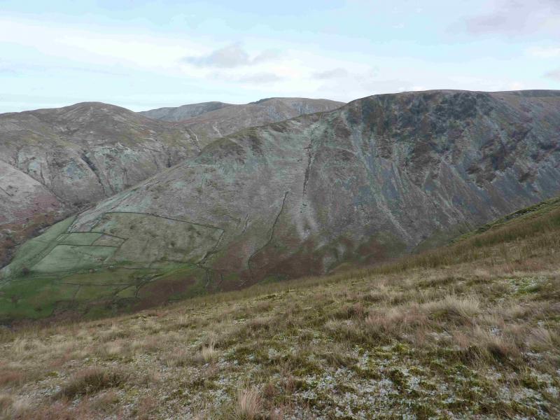
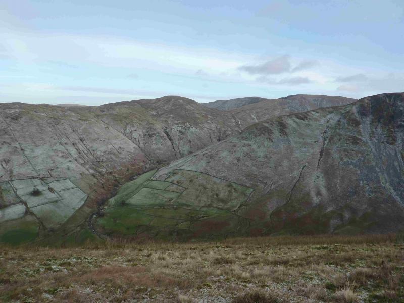
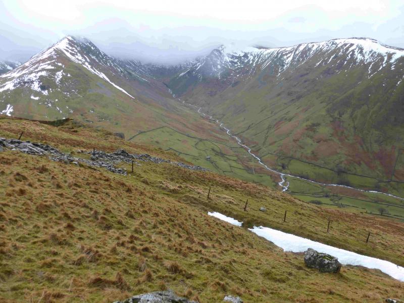
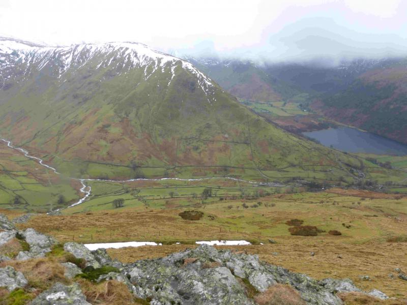
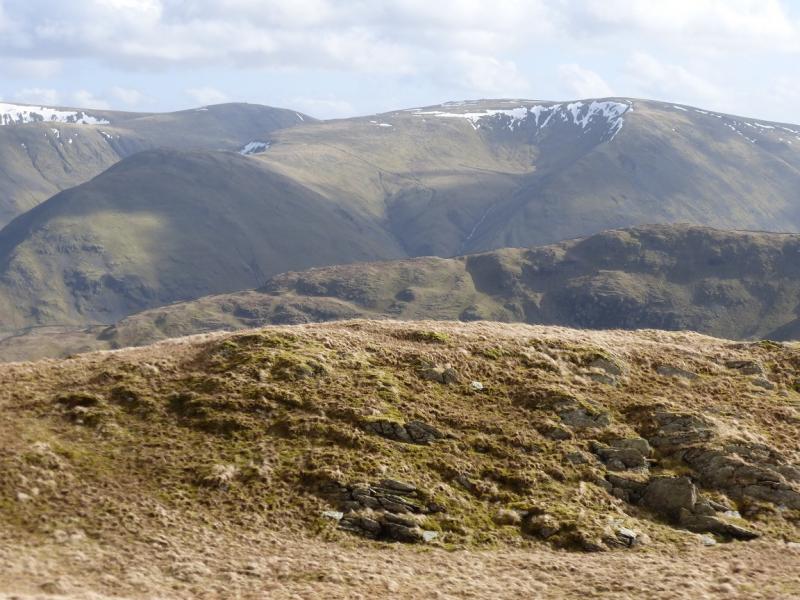
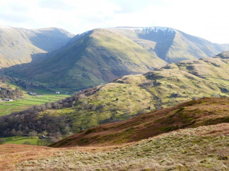
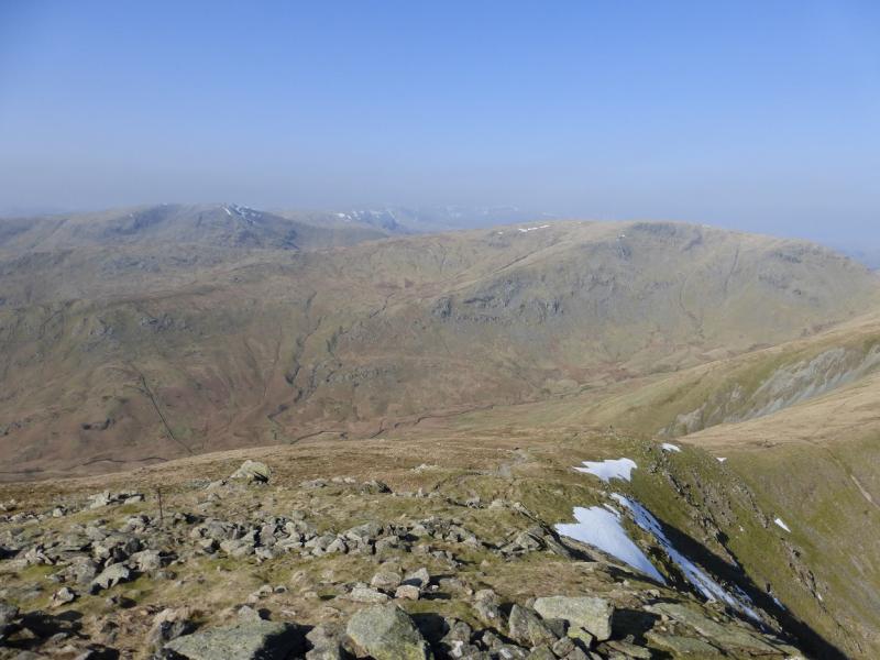
This is a lovely walk which could also be called The Pasture Beck Horseshoe. There are good and very distinctive paths most of the way. On a clear day, the views are excellent especially to nearby fells such as High Street, Place Fell, Froswick and Ill Bell. Across the Kirkstone Pass road, one can usually enjoy excellent views of Hartsop Above How, Red Screes, Dove Crag, Hart Crag, Fairfield, St. Sunday Crag, Dollywaggon Pike, Nethermost Pike, Helvellyn & Catstye Cam. On a very clear day, one can see the Coniston Fells, Crinkle Crags, Bowfell, Scafell, Scafell Pike, Great Gable, Skiddaw & Blencathra plus many more. It is even possible to see Whernside and Ingleborough. The length of this walk is ideal for a short winter's day.
Route
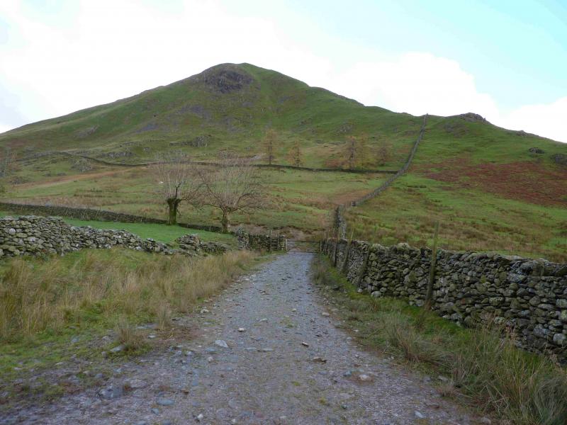
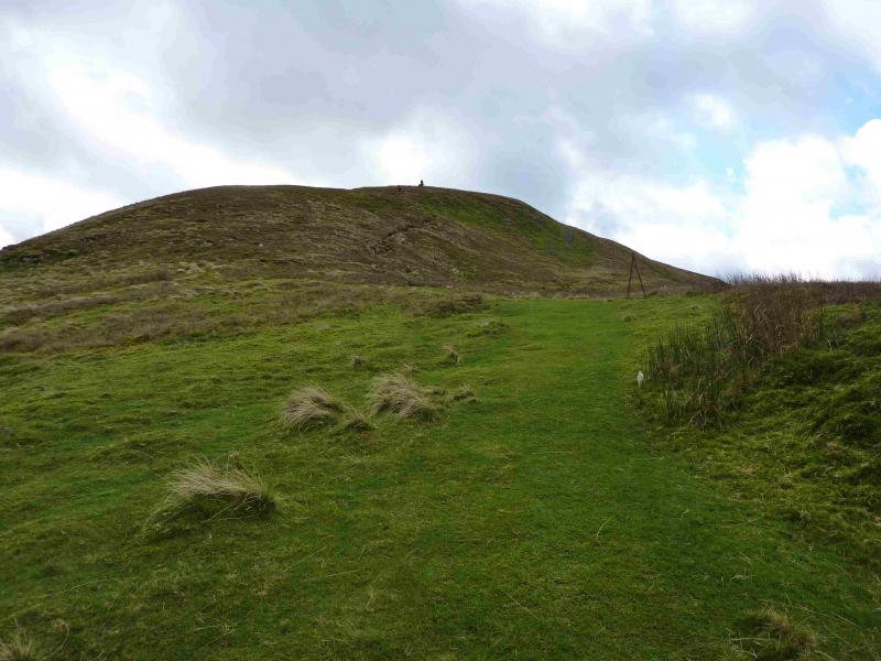
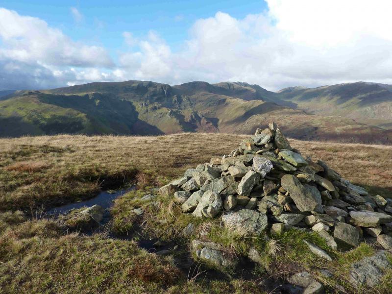
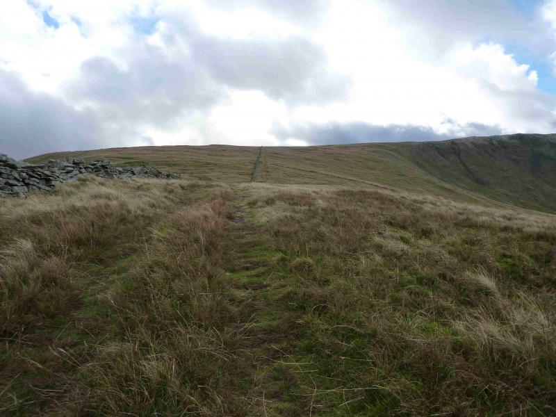
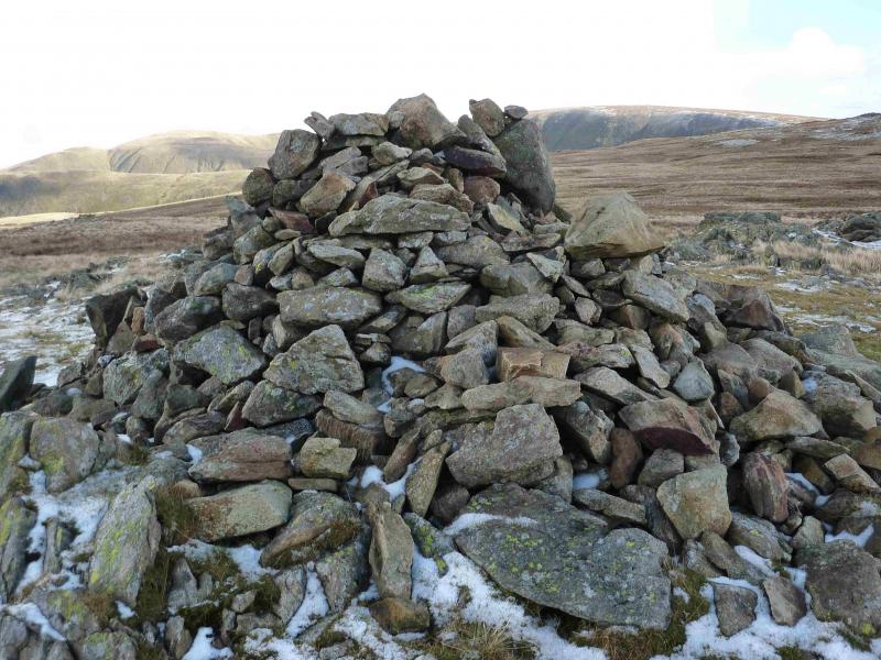
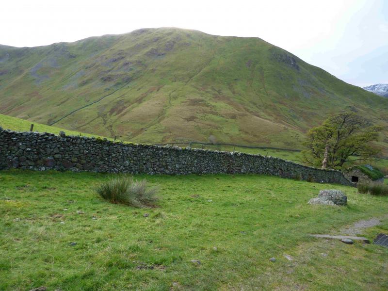
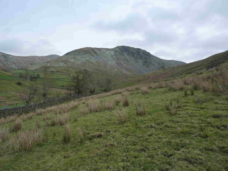
(1) From the car park, go through the next gate then turn immediately right, signed Pasture Beck, and follow the track over the bridge. Continue ahead and go up the path by the side of the only wall (which is almost directly ahead) going up Hartsop Dodd. This is moderately steep. Leave the wall at a corner and continue, almost due S, up a distinctive path, still moderately steeply. When the angle eases, continue and soon meet another wall which is followed to the medium cairn which marks the summit of Hartsop Dodd, 618 m.
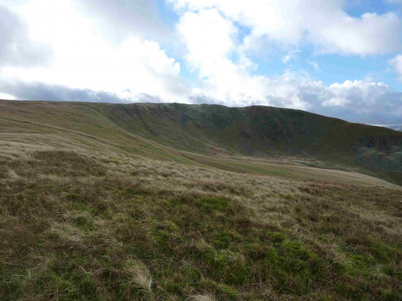
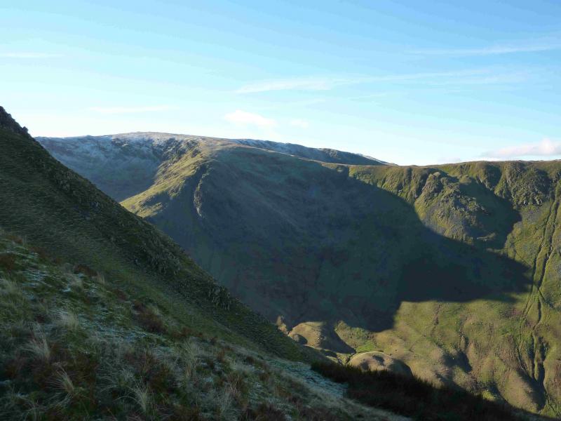
(2) Continue ahead, descending very gradually on grassy moorland for about 1 km then leave the main path and head W to the edge which leads to Caudale Head. This section can be boggy but there is a faint path. Follow the edge S but when it turns W, continue S for about 200 m to reach the medium cairn which marks the summit of Caudale Head, c 750 m.
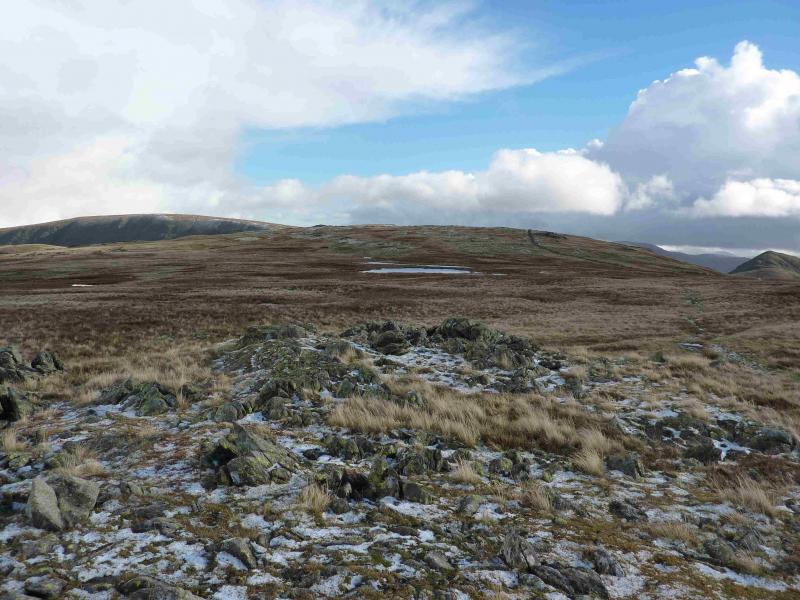
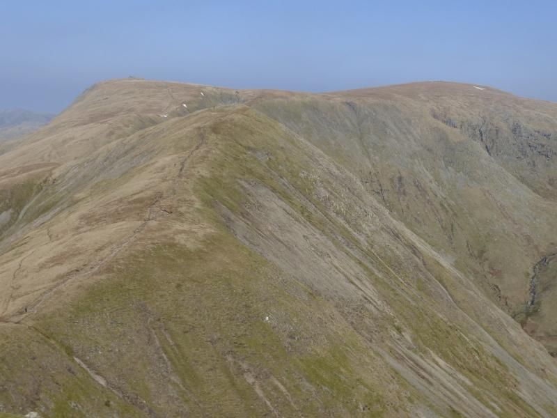
(3) Head almost due E, passing the moorland tarn (shown on the 1:25 000 map) on its S side. The ground is almost level and within 400 m reach the medium cairn which marks the summit of Stony Cove Pike, 763 m.
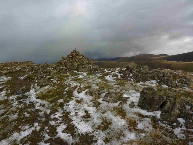
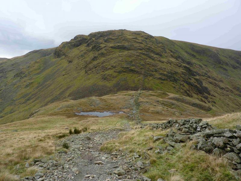
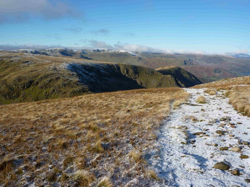
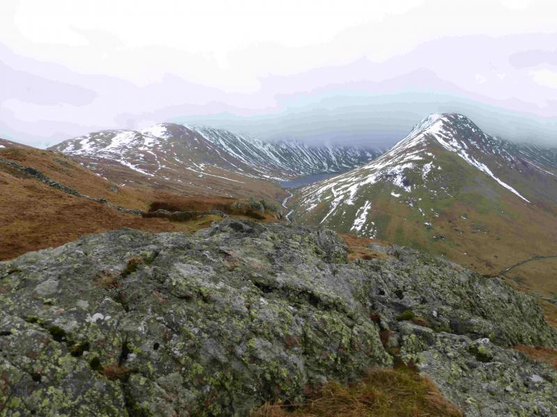
(4) Walk N, across the summit plateau for about 150 m before descending E on a distinctive stony path which is steep and rocky in places so care is needed but it is not really a scramble. The path leads down to a col known as Threshthwaite Mouth. If circumstances dictate, one can leave the ridge and take the path N down from the col which follows Pasture Beck lower down. To continue the route, ascend a steep stony path to reach the very tall Beacon cairn which marks the very obvious summit of Thornthwaite Crag/Beacon, 784 m. There is a good wall to shelter behind if necessary.
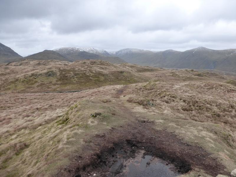
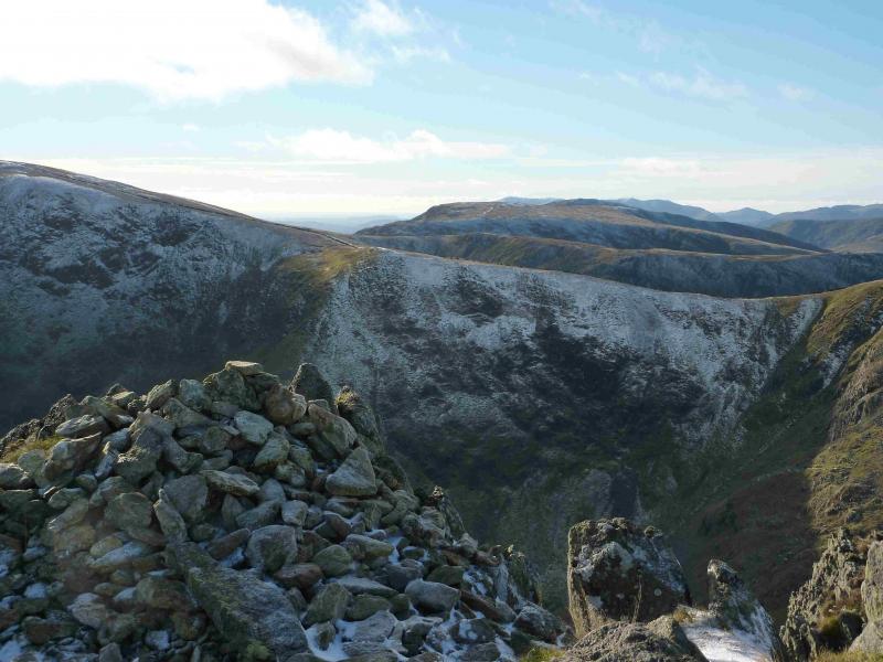
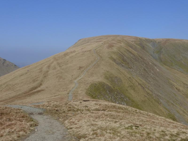
(5) From the beacon, follow the wall N for a few metres then stay on the crest heading N when the wall drifts left. The grassy crest is very easy to walk and there is a path all the way. Note that there is a small cairn on a “bump” which is Pt 710 so do not mistake it for Gray Crag summit! A gradual descent then a gentle ascent leads to the medium cairn which marks the summit of Gray Crag, 699 m.
(6) Continue on the path, descending NNW. Lower down, the path seems to split but ignore the right fork. Continue down and soon the path just becomes a grassy strip which leads down to the track before Hayeswater Gill is reached. Turn left, W, and follow the track back to the car park crossing Hayeswater Gill on the way.
Notes
(a) This walk took place on 9th November, 2013.
(b) There are numerous possibilities for extending this walk. For example, if Gray Crag was omitted, an extension taking in High Street could easily be added.
Photos - Hover over photo for caption. Click on to enlarge. Click on again to reduce.
![]()


.jpg)


![]()
![]()