Get Lost Mountaineering
You are here: England » Lake District » 2 Far Eastern Fells
Rest Dodd, The Nab, Brock Crags & Angletarn Pikes from Hartsop
Rest Dodd, The Nab, Brock Crags & Angletarn Pikes from Hartsop
Start/Finish
Hartsop Village which is up a minor road to the east of Brothers Water which itself is on the A592 at the bottom of Kirkstone Pass (may be impassable in winter conditions). Drive through the village to reach a rough car park where there is limited parking. If there is no space, it may be necessary to park at the NW corner of Brothers Water as there is no other parking in Hartsop.
Distance/Time
15 km About 6 hours
Peaks
Rest Dodd, 696 m, NY 431 137.
The Nab, 576 m, NY 434 152.
Brock Crags, 561 m, NY 417 136.
Angletarn Pikes, 567m, NY 413 148. OS 1: 50 000 , sheet 90.
OS 1: 25 000 Outdoor Leisure 5, English Lake District NE Area.
Introduction
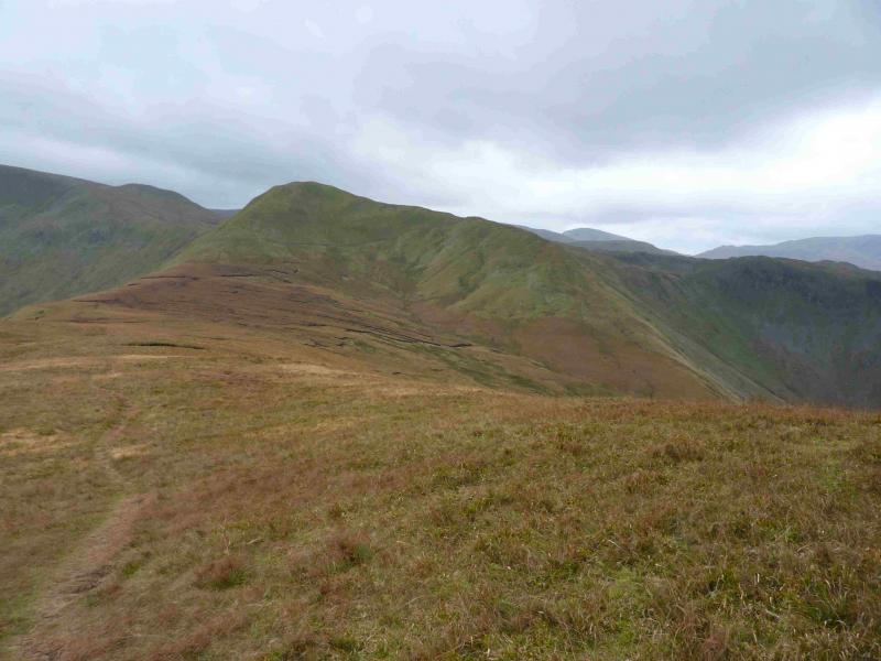
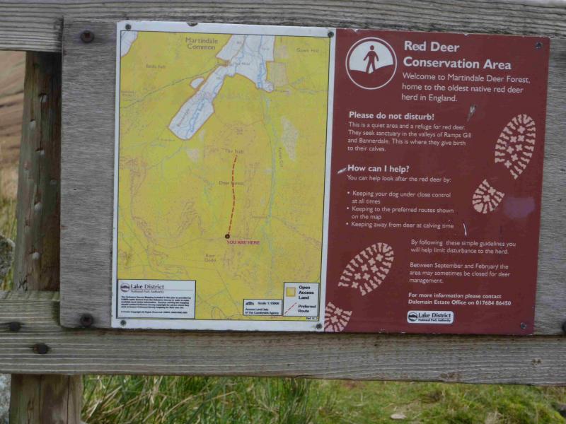
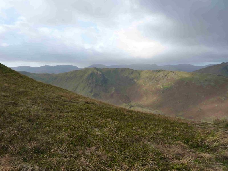
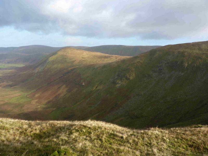
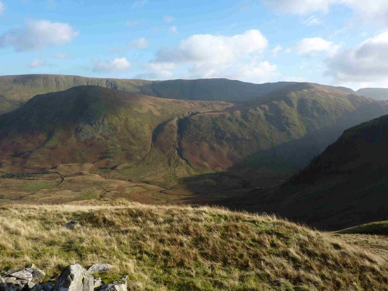
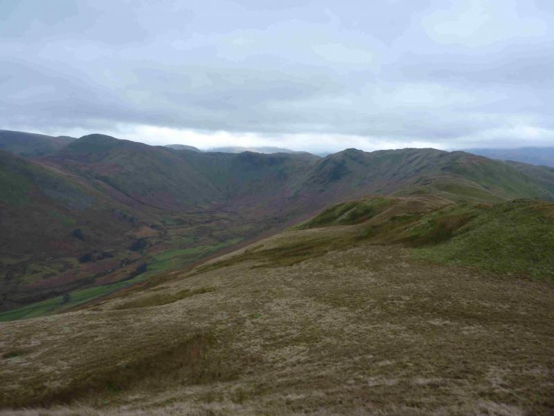
This is a lovely walk. There are good and very distinctive paths most of the way. On a clear day, the views are excellent especially to nearby fells such as Gray Crag, Hartsop Dodd, Stony Cove Pike, Thornthwaite Crag, High Street, Rampsgill Head and High Raise. Across the Kirkstone Pass road, one can usually enjoy excellent views of Hartsop Above How, Red Screes, Dove Crag, Hart Crag, Fairfield, St. Sunday Crag, Dollywaggon Pike, Nethermost Pike, Helvellyn & Catstye Cam. The length of this walk is ideal for a short winter's day. Access to The Nab was less easy prior to “Right to Roam” but deer culling can take place from September to February which may lead to “restrictions” on access.
Route
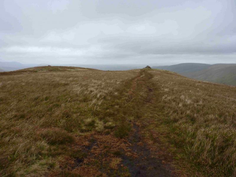
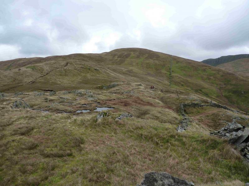
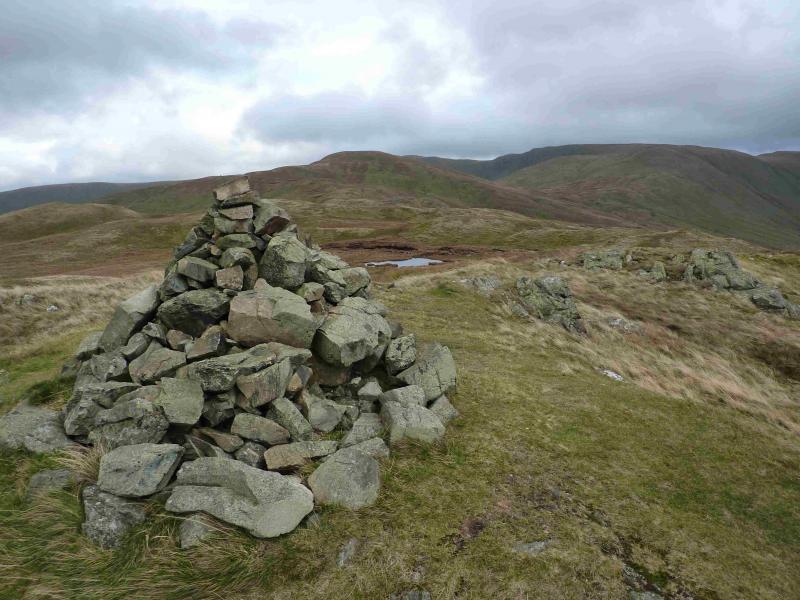
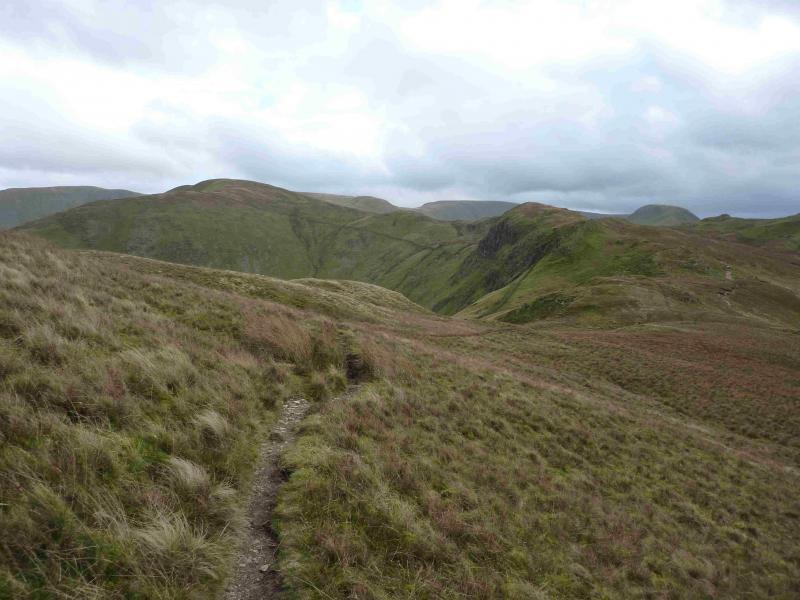
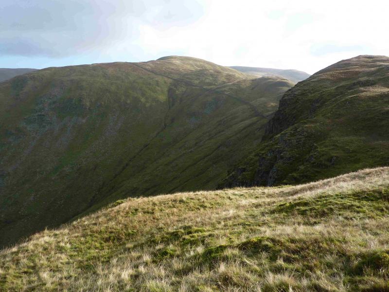
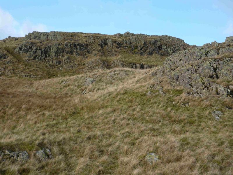
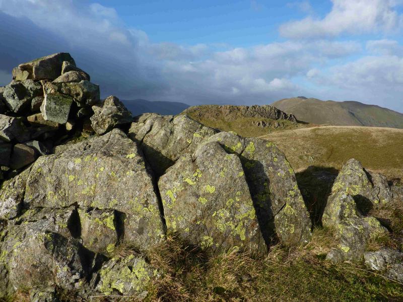
(1) From the car park, go through the next gate then continue ahead, soon crossing Hayeswater Gill by a bridge. Continue on the track on the S side of the gill and follow it, past the filiter house and some waterfalls, to the ford where there is an obvious path on the other side. Cross the gill on natural stepping stones and follow the path up. If the gill is in spate, it might be wiser to continue to the Hayeswater dam where there is a bridge then cut back to regain the path. The path gradually converges with a wall heading NE then meets the main path from The Knott. Turn left on to this, then look for a faint path going off to the right and ascending the S flank of Rest Dodd. This path is mossy and boggy initially but soon improves. Continue up to reach a grassy plateau where there are two cairns, a medium one and a small one, which mark the summit of Rest Dodd, 696 m. It is not obvious which summit is the higher but as they are less than 50 m apart, it is prudent to visit both.
(2) Descend on a path going N from the larger cairn. Soon reach a wall where there is a stile about 20 m to the right. Please use this rather than climb over the wall. Continue down to the col where there are some peat hags which are best (mainly) avoided on the right (E). Continue on the path, ascending easy grassy slopes, to reach a very small cairn which marks the summit of The Nab, 576 m.
(3) Retrace to the summit of Rest Dodd or traverse the N flank – see note (b).
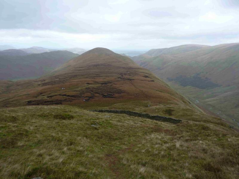
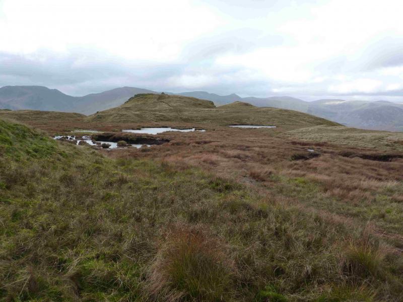
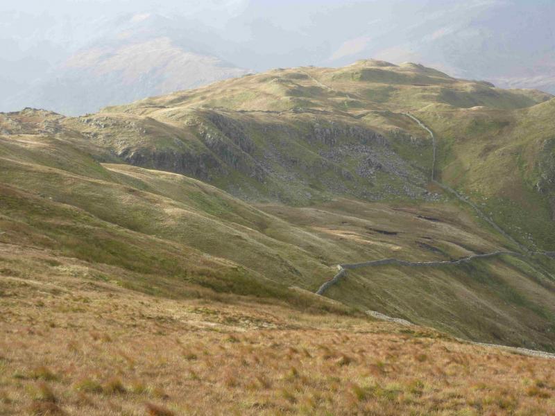
(4) Descend the W ridge on a path which soon follows a wall and passes above Satura Crag which has no cairn then crosses a wall. Follow this wall left, WSW, to meet another wall which can be followed NW for only a few metres before another wall goes SW. There are many alternative paths in this area so it is not necessary to follow the walls religiously in clear weather but they are very useful guides in mist. Follow this wall, with a path on its left, to a flattish area where the path leaves the wall and leads to the medium cairn which marks the summit of Brock Crags, 561 m.
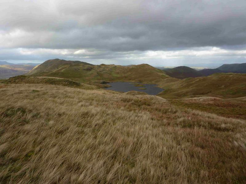
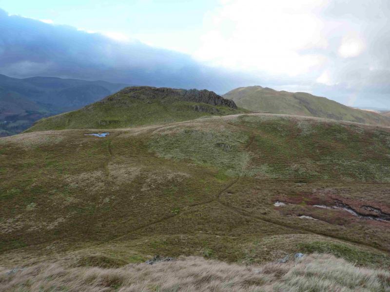
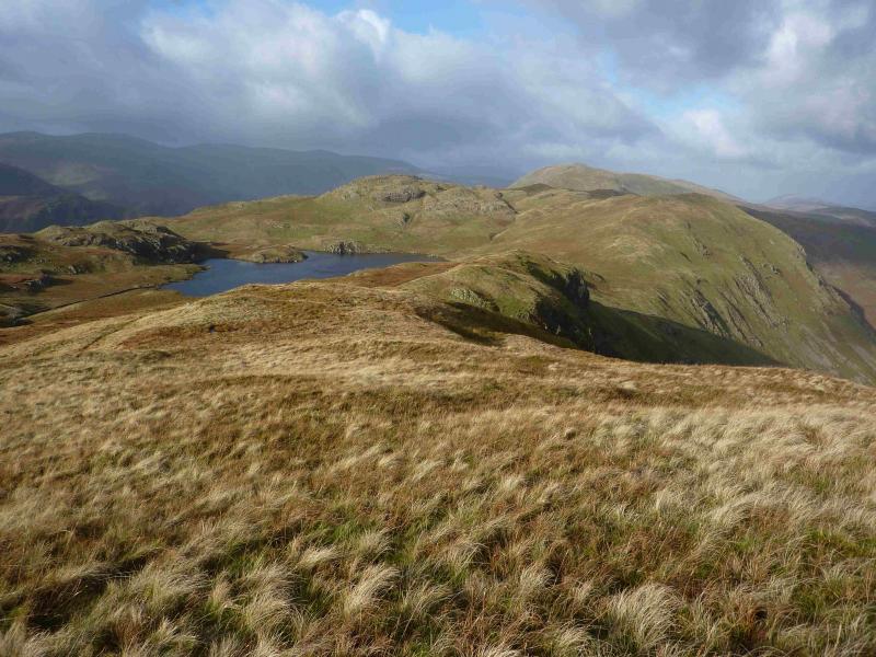
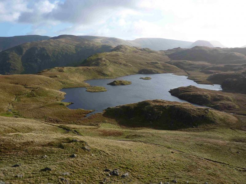
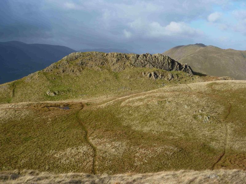
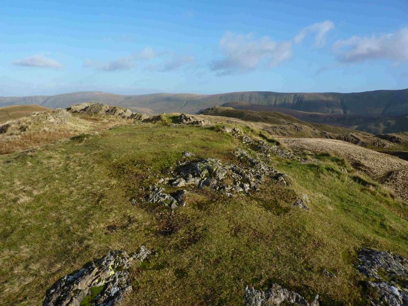
(5) Retrace to the main path above Satura Crag then stay on the crest, surprisingly little in the way of a path, heading NNW towards Buck Crag which has no cairn. Continue along the crest, descending slightly. Angle Tarn is on your left, W. Ascend easy grassy slopes to the small grassy top, with a tiny cairn, which is due W of Heck Crag. From there, pick a way WNW to the top at about 560 m which also has no cairn. From here, go across some boggy ground to reach the 565 top where there is a medium cairn. This is craggy but there are easy paths. Descend NNW then ascend to the main summit of Angletarn Pikes, 567m. This looks very rocky and has small cliffs on some sides but there are relatively easy paths up and down.
(6) Carefully, as the ground is steep and rocky, descend W or NW to the main path towards Boredale Hause. Easier routes go NE initially then you need to pick a way back towards the path below the crags. The further you go, the easier it gets. Follow the main path to Boredale Hause then descend SW then S on a very obvious path which leads down to a track above Goldrill Beck. Continue S, crossing Angletarn Beck by a footbridge. Continue and reach the minor road into Hartsop village close to where it leaves the Kirkstone Pass road. If you parked above Hartsop village, turn left on to the minor road.
Notes
(a) This walk took place on 13th November, 2013.
(b) It is possible to avoid the complete re-ascent of Rest Dodd. The easiest way is to cross the stile then follow the wall up on to the W ridge of Rest Dodd to about where a “gate hole” appears in the wall after which the path from the summit can be followed. The other way is to follow a path just after the end of the peat hags which winds its way to a hole in the above wall.
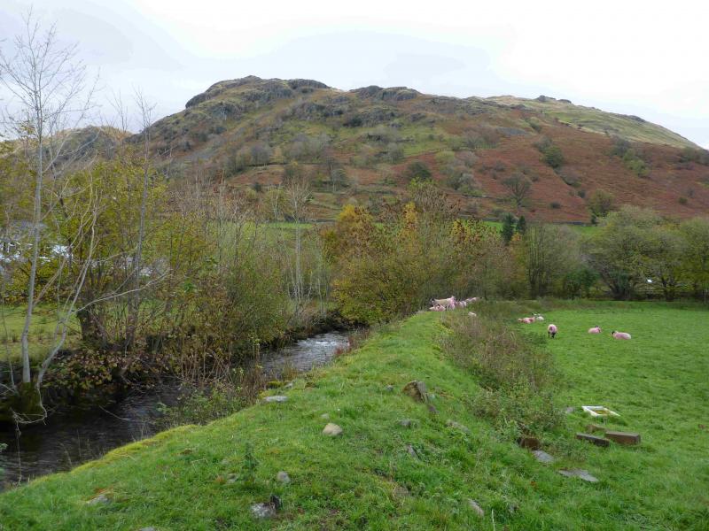
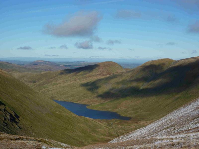
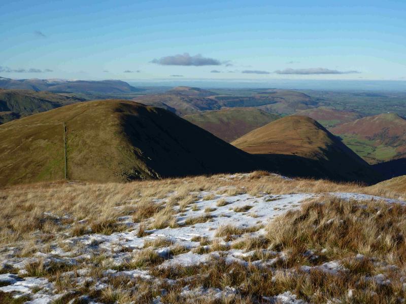
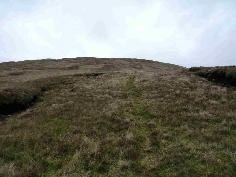
Photos - Hover over photo for caption. Click on to enlarge. Click on again to reduce.