Get Lost Mountaineering
You are here: England » Lake District » 2 Far Eastern Fells
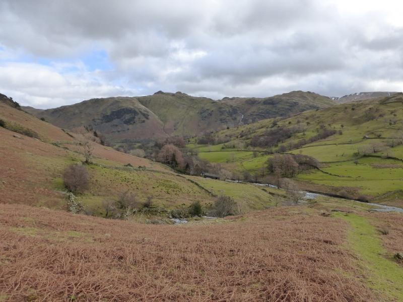
The Nab, Rest Dodd, Angletarn Pikes & Beda Fell from Dale Head in Martindale
The Nab, Rest Dodd, Angletarn Pikes & Beda Fell
from Dale Head in Martindale
Start/Finish
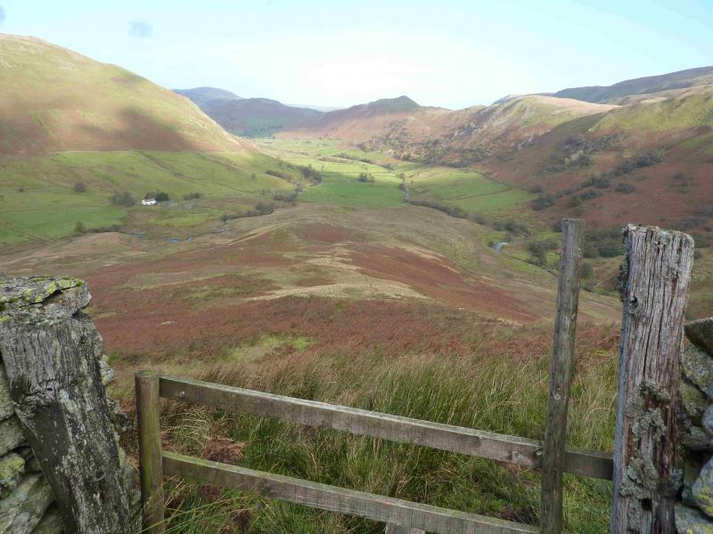
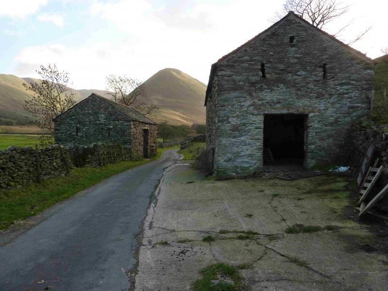
The end of the Martindale road close to Dale Head. From Pooley Bridge, at the N end of Ullswater, take the road S signposted Howtown & Martindale. In places, this road is very narrow with passing places so you may need to reverse if you meet another car! Continue past Howtown then climb over the low pass – lots of tight bends – to the E of Hallin Fell. Ignore the right turn for Sandwick and continue ahead on an even narrower road. Drive to the end of the road at Dale Head. Turn round, as there is no parking here, and park on the verge – which can be too soft after rain – anywhere on the road within 1 km of Dale Head as this section of road will be walked at the end of the day anyway.
Distance/Time
12 km About 5 hours
Peaks
The Nab, 576 m, NY 434 152.
Rest Dodd, 696 m, NY 431 137.
Angletarn Pikes, 567m, NY 413 148.
Beda Fell, 509 m, NY 428 170. OS 1 : 50 000 , sheet 90.
OS 1 : 25 000 Outdoor Leisure 5, English Lake District NE Area.
Introduction
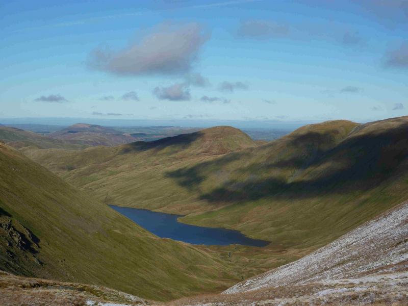
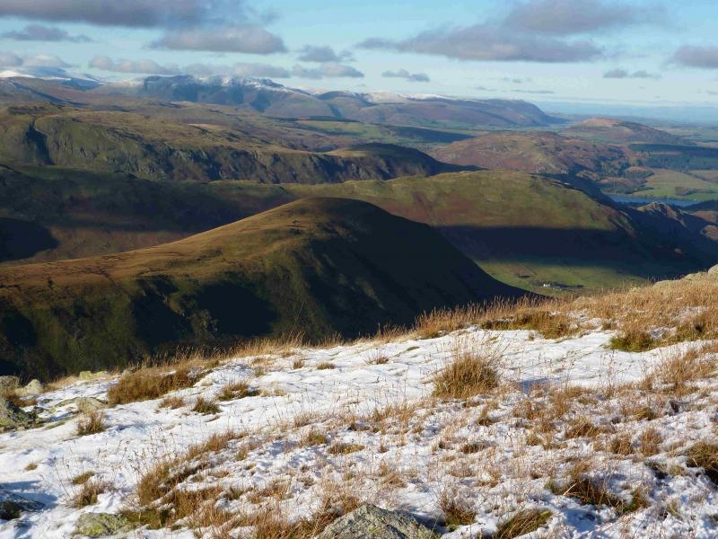
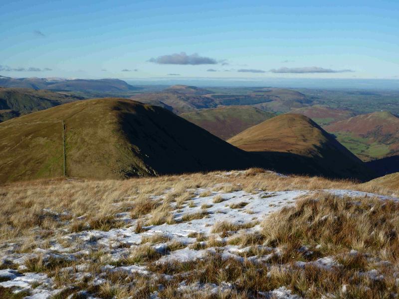
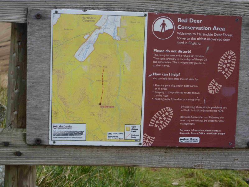
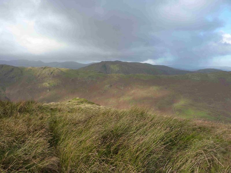
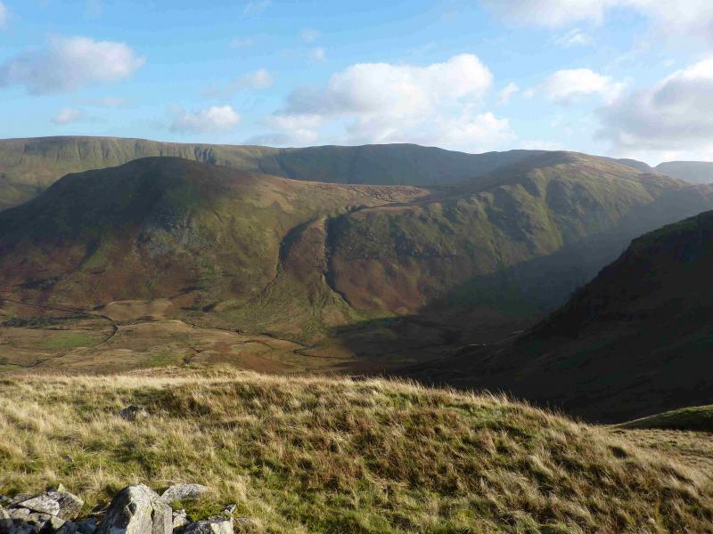
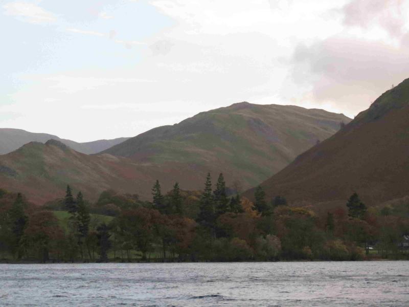
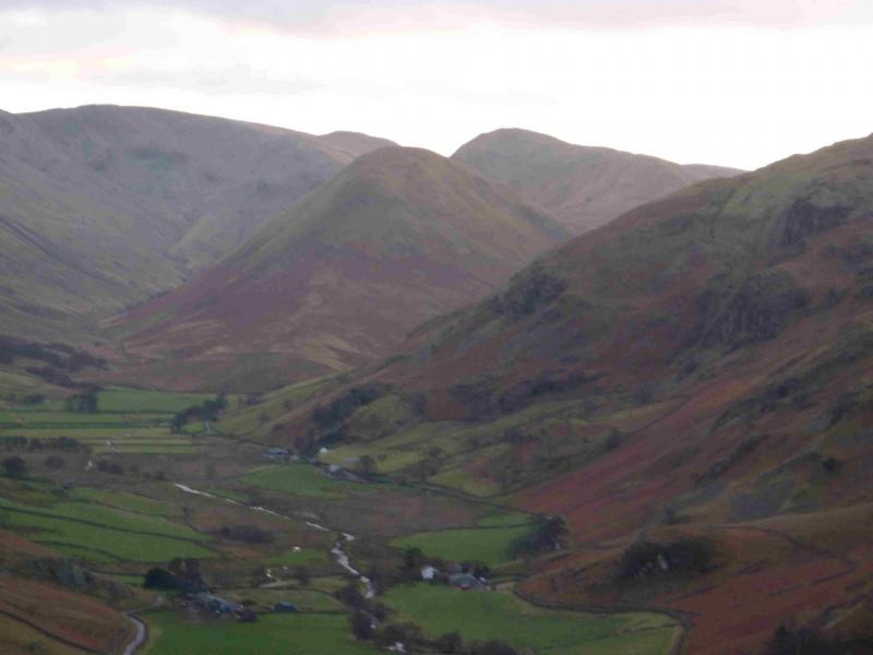
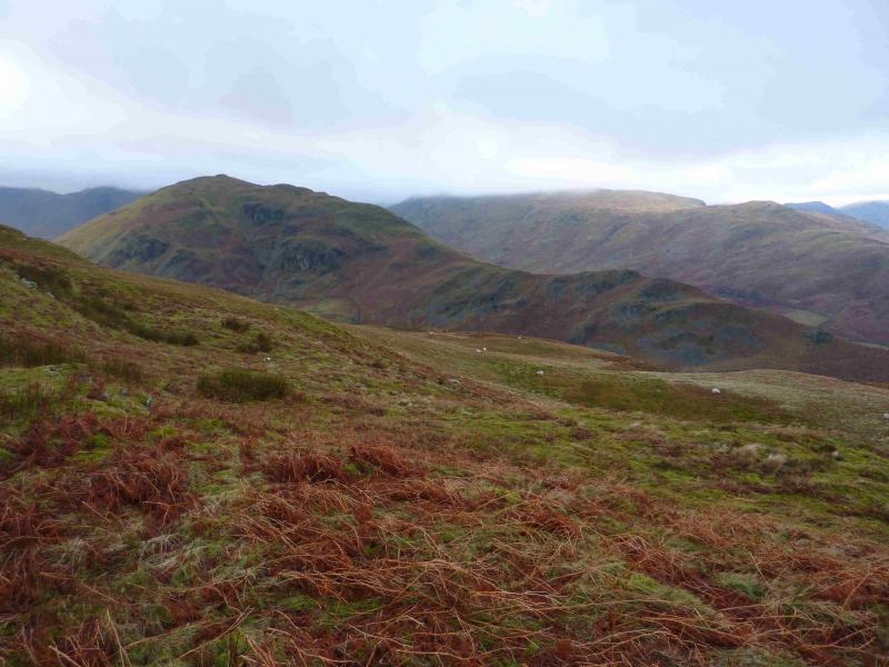
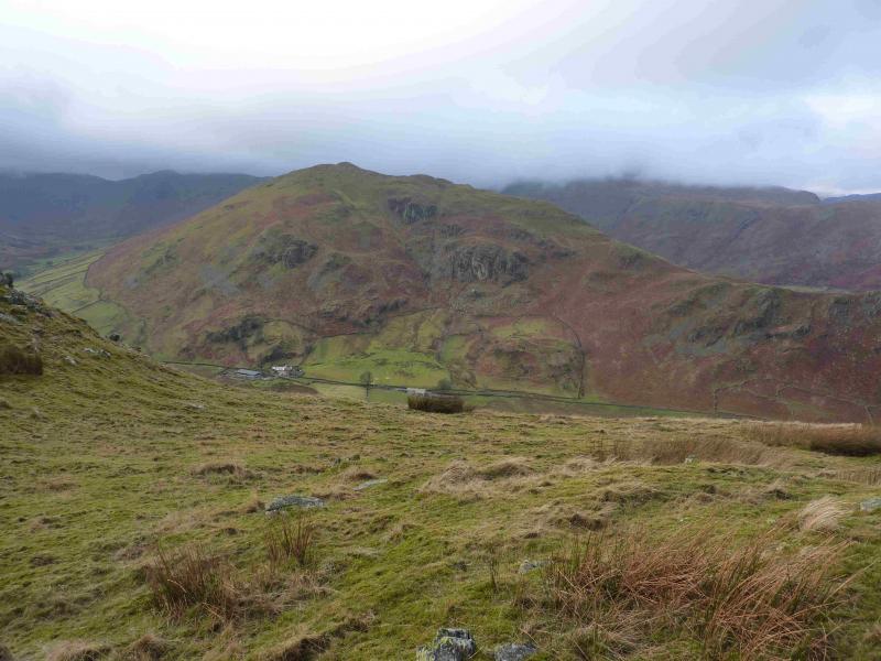
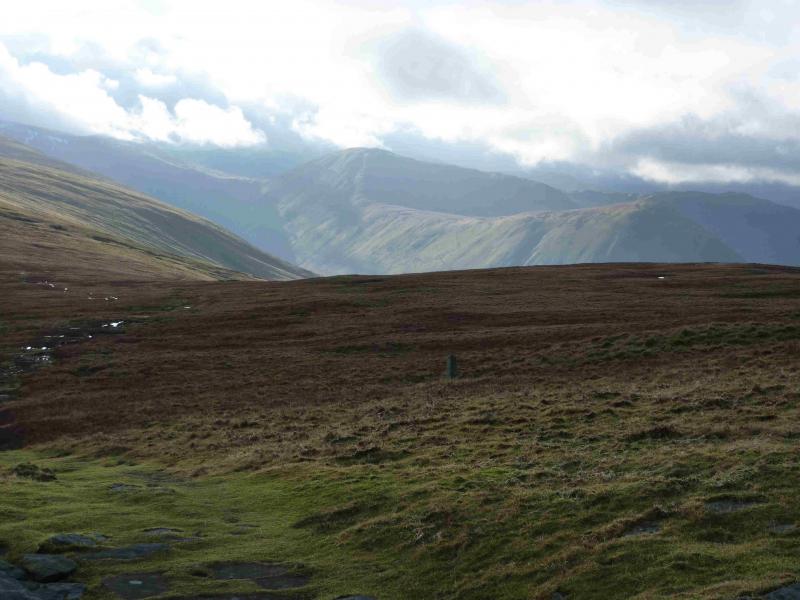
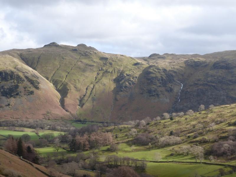
This is a lovely walk. There are good and very distinctive paths most of the way. On a clear day, there are extensive views especially to Loadpot Hill, Wether Hill, High Raise and Rampsgill Head and Place Fell. Gray Crag, Hartsop Dodd and Stony Cove Pike can also be seen to the S and hallin Fell is prominent to the N. Across Ullswater, most of the Helvellyn range will be seen.Access to The Nab was less easy prior to “Right to Roam” but deer culling can take place from September to February which may lead to “restrictions” on access. The estate prefers access from Rest Dodd to the S – this is covered in a separate walk – but there is no ban on access from the N. The ascent up The Nab has a fairly steep upper section which would only be for the very experienced in wet or wintry conditions.
Route
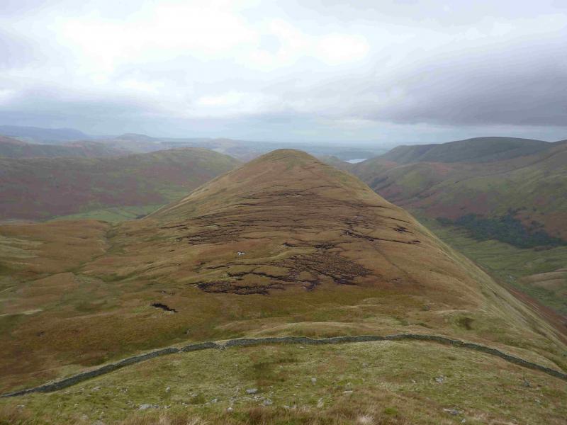
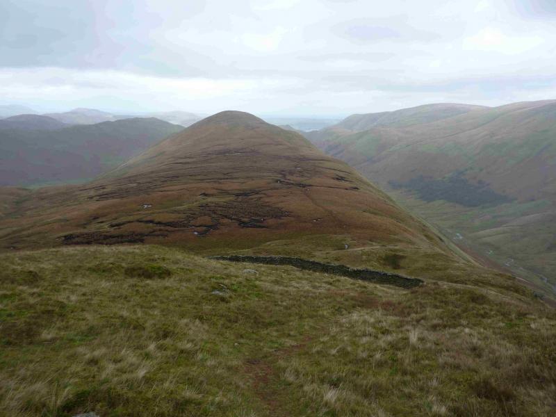
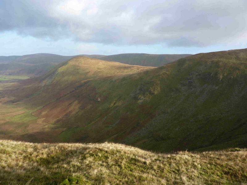
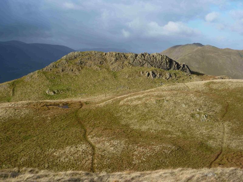
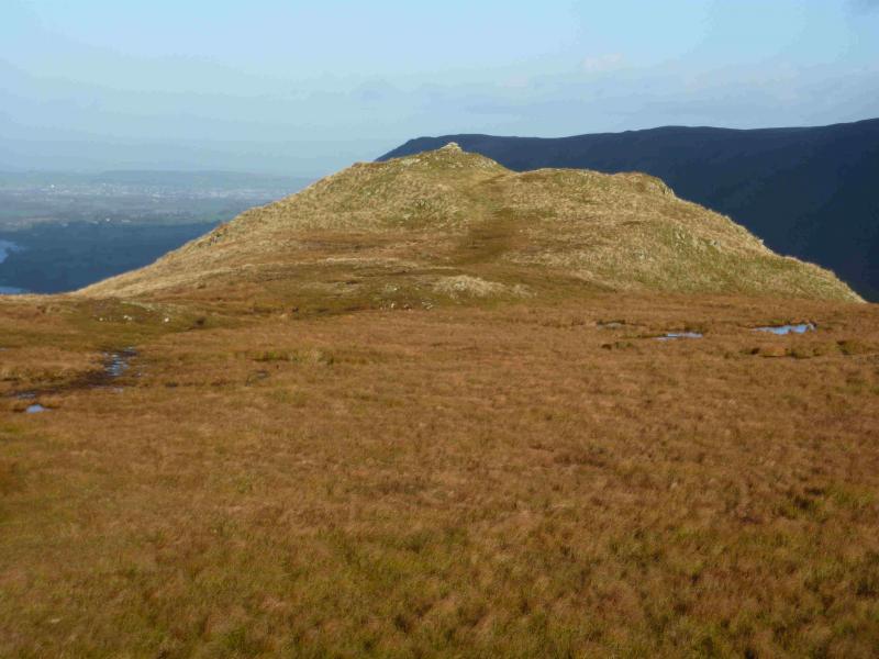
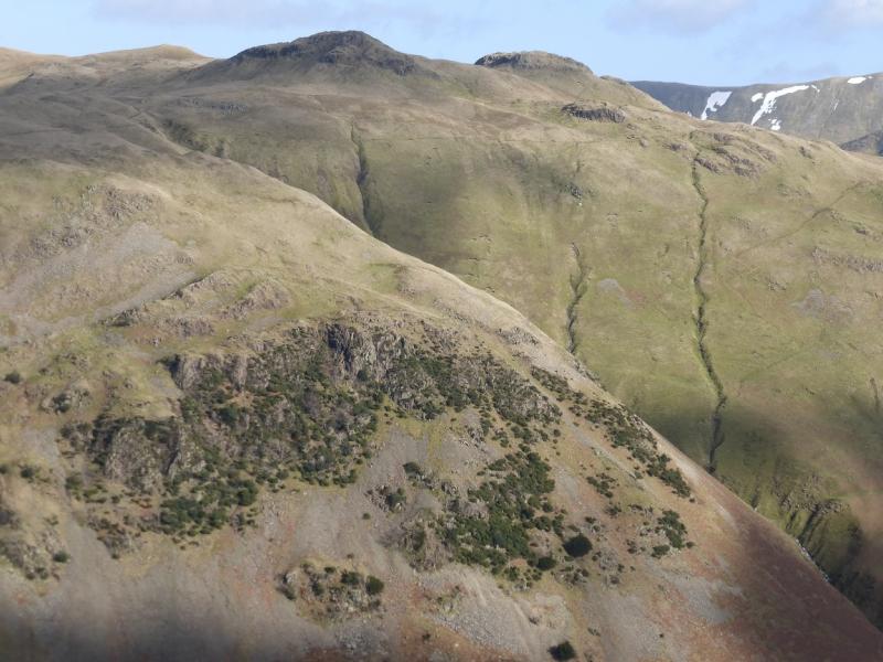
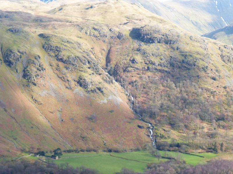
(1) On the road about 400 m N of Dale Head is a gate leading to a bridge over Bannerdale Beck and a track heading SSE to The Bungalow. There is a sign on the gate saying “No Public Right of Way” but there seems to be no alternative way to the foot of The Nab. Walk on the track until it passes through the first wall then walk up the field to a stile over the second wall. This field can be rough and boggy. After the wall, there is a fairly well defined path going up the gradually steepening nose to reach a third wall where there is another stile. Continue up the nose on steep grass. Any crags can be easily avoided but the path can be difficult to follow especially if you have drifted right on a traverse path after the wall. When the angle eases, continue up, on a fairly obvious path to reach a very small cairn which marks the summit of The Nab, 576 m.
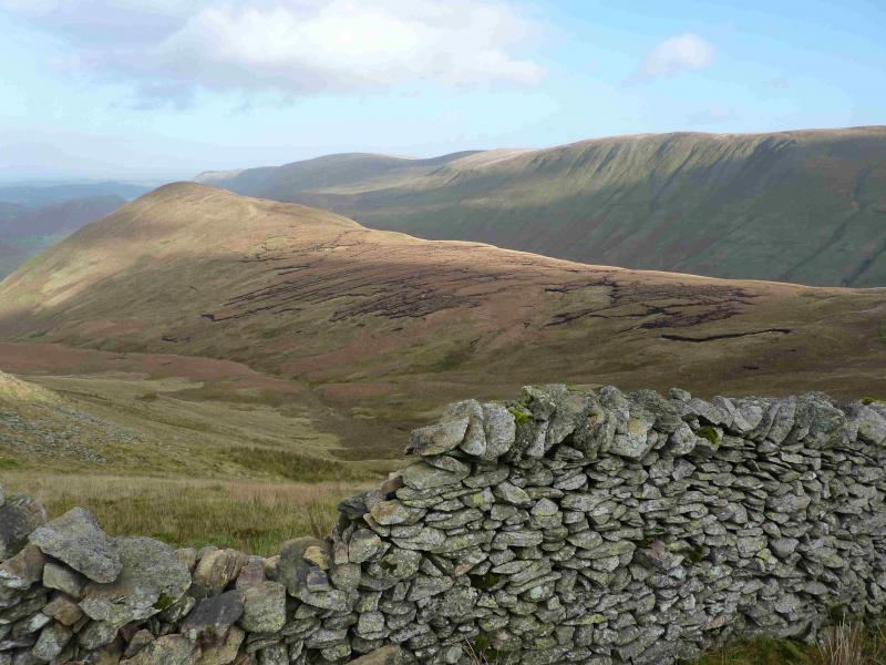
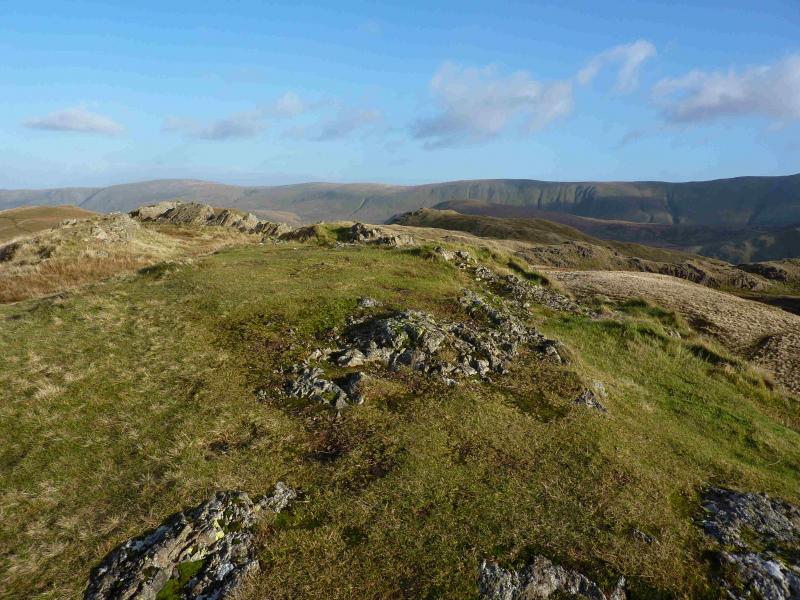
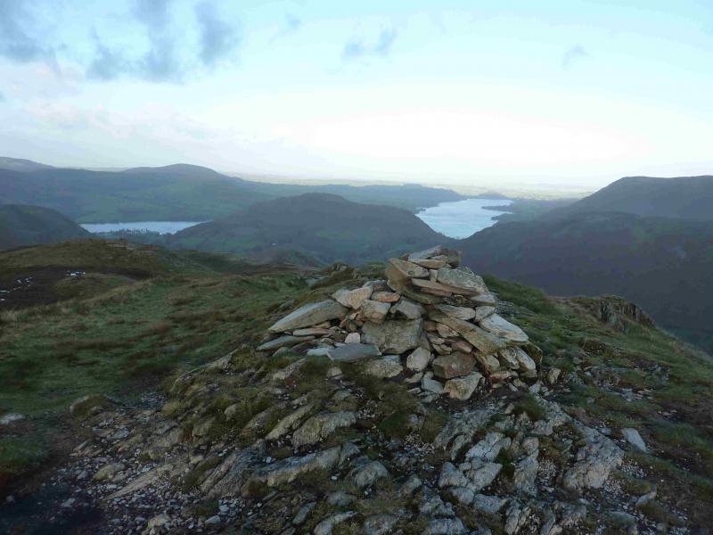
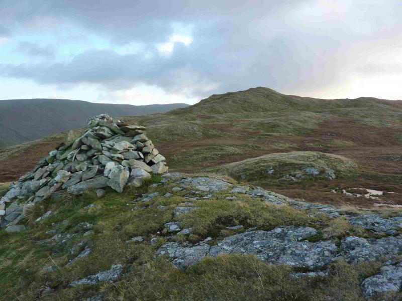
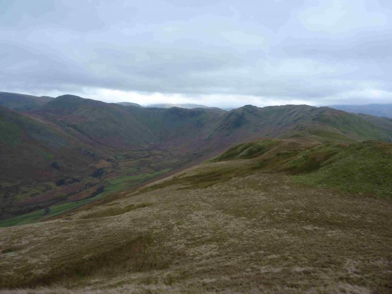
(2) Descend easy slopes to the N, following a distinct path, and soon reach some peat hags which are best avoided on the left, E. Once past these, follow the path up to a wall where there is a stile. Continue up and soon reach a small plateau where there is a medium cairn and a small cairn, about 50 m apart, of similar height which mark the summit of Rest Dodd, 696 m.
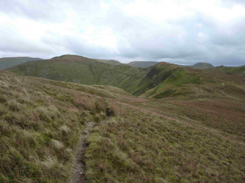
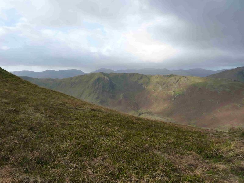
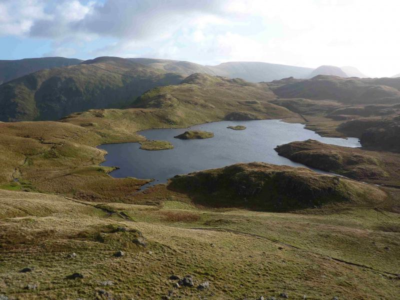
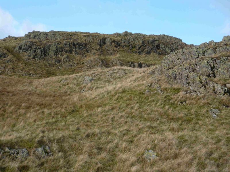
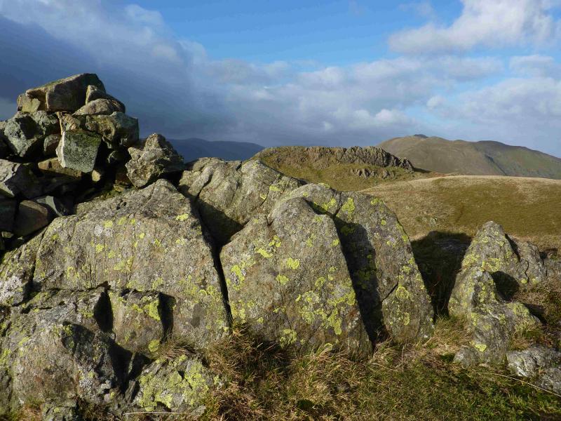
(3) From the small cairn, a path descends W. Just after passing the top of the unseen Satura Crag, the path goes through a wall then continues to Angle Tarn. In clear weather, it is easy to make a short diversion – about 40 minutes – to Brock Crags. After Angle Tarn, the path turns W. Follow it for about 200 m or so then pick a way up, N then NW, through the crags to the S Top of Angletarn Pikes where there is a medium cairn. This ascent is fairly easy as the crags are small with much grass between them. The higher N top lies about 200 m away to the NNW. Pick a way down the short rocky slopes then walk across a grassy area before another similar ascent to a rocky crest where, surprisingly, there is no cairn although it is the highest of the Angletarn Pikes, 567m.
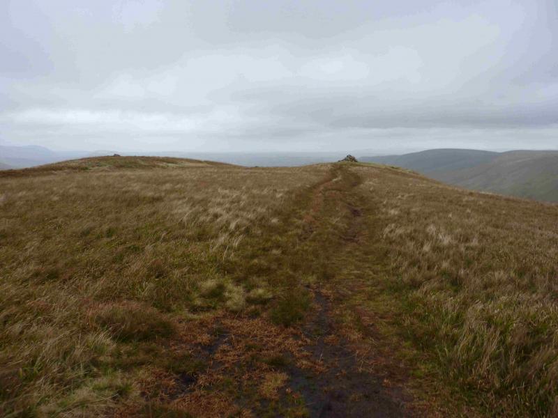
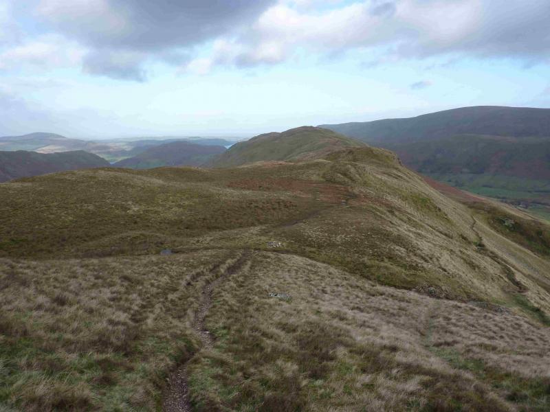
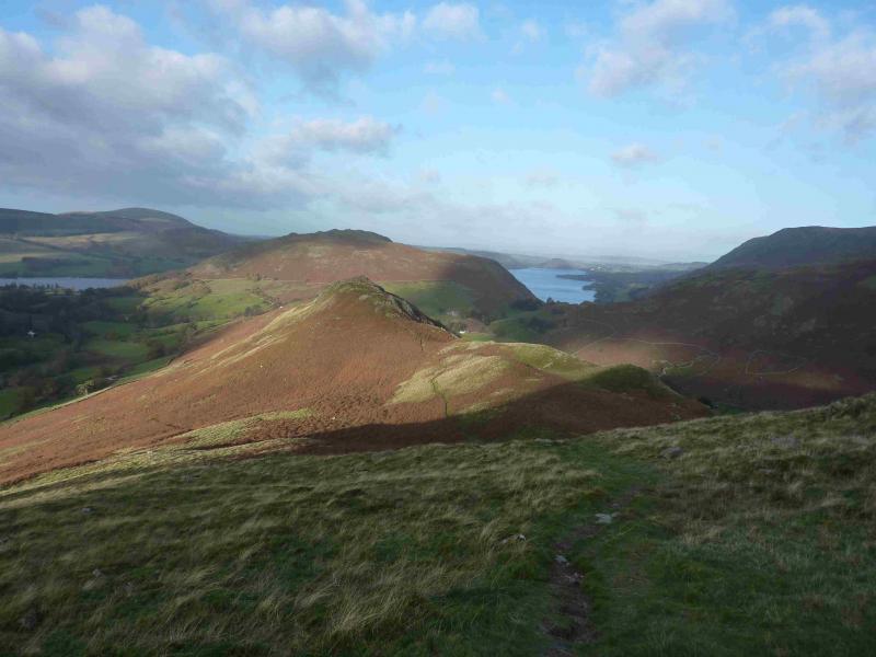
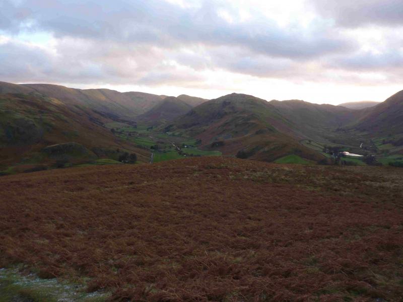
(4) Walk NE, on a path, along the crest and follow this past Heckbeck Head on to the SW end of Beda Fell. The path weaves around some of the “bumps” passing Bedafell Knott. There are a few minor descents and ascents on this undulating ridge before a longer, but gentle, rise leads to the medium cairn which marks the summit of Beda Fell, 509 m which is marked on the map as Beda Head. Continue, still on the distinctive path, to a lower top with a similar sized cairn then continue the gradual descent N along the ridge. About 1 km from the summit, reach an obvious dip with a pointed peak ahead which is Winter Crag. There is a path leading down to the right from the dip, shown on the 1 : 25 000 map. This heads towards a wall above Henhow before swinging left, NNE, to reach the road to the N of Henhow. Turn right, S, on to the road and walk back to the car.
Notes
(a) This walk took place on 14th November, 2013.
(b) An alternative to the above descent, would be to continue on the crest path over Howstead Brow and Winter Crag to reach a path crossing the ridge. Turn right and descend to Knicklethorns giving a slightly longer walk along the road. This alternative has not been checked out but looks reasonable.
Photos - Hover over photo for caption. Click on to enlarge. Click on again to reduce.