Get Lost Mountaineering
You are here: England » Lake District » 1 Eastern Fells
Catstye Cam by SE Ridge, Helvellyn via Swirral Edge, Lower Man, Whiteside, Raise & Sticks Pass from Glenridding
Catstye Cam by SE Ridge, Helvellyn via Swirral Edge, Lower Man, Whiteside, Raise & Sticks Pass from Glenridding
Start/Finish
Glenridding Village at the south end of Ullswater. There is an expensive public car park, with the same charges all year round, but out of season parking is allowed on some nearby roads. Please do not park where residents could be inconvenienced.
Distance/Time
14 km About 6 – 7 hours
Peaks
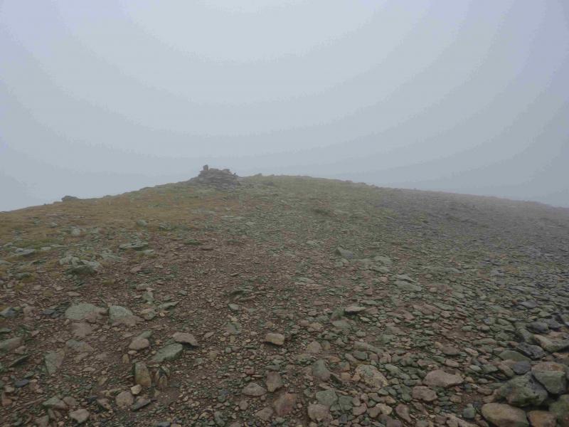
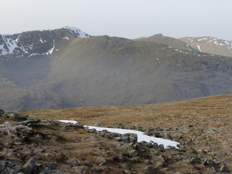
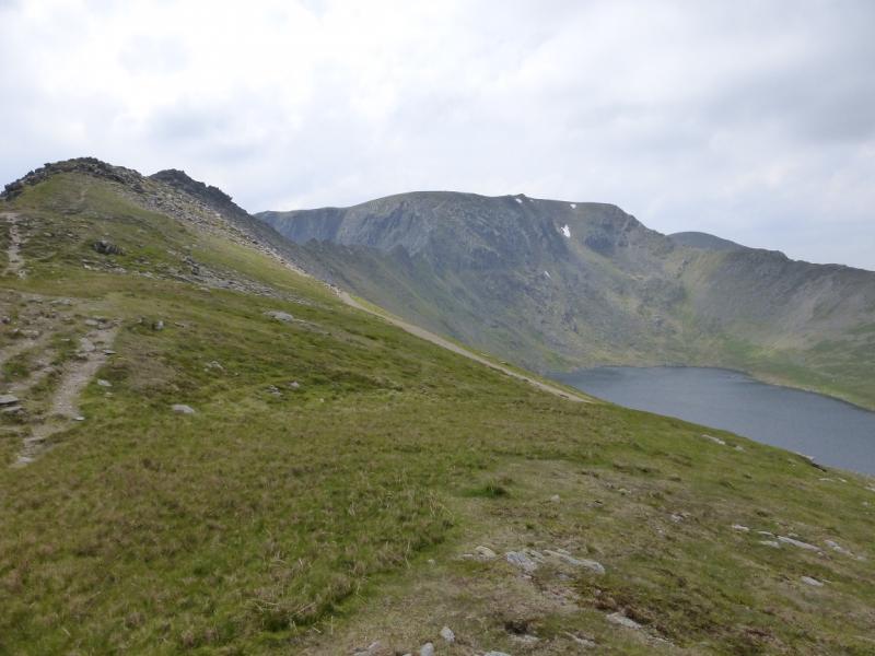
Catstye Cam, 890 m, NY 348 158.
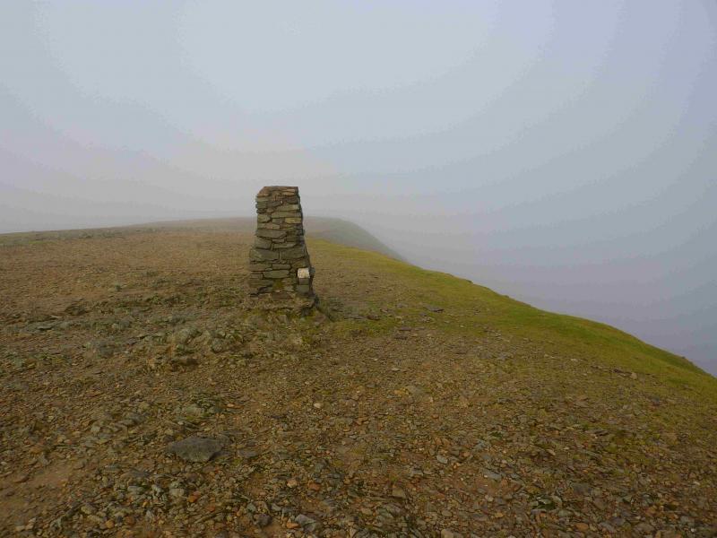
Helvellyn, 950 m, NY 342 151.
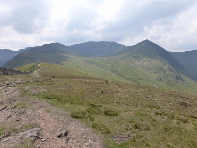
Lower Man, 925 m, NY 337 155. (not a Wainwright)
Whiteside, 863 m, NY 338 167.
Raise, 883 m, NY 343 174. OS 1: 50 000, Sheet 90.
OS 1: 25 000 Outdoor Leisure 5, English Lake District NE Area.
Introduction
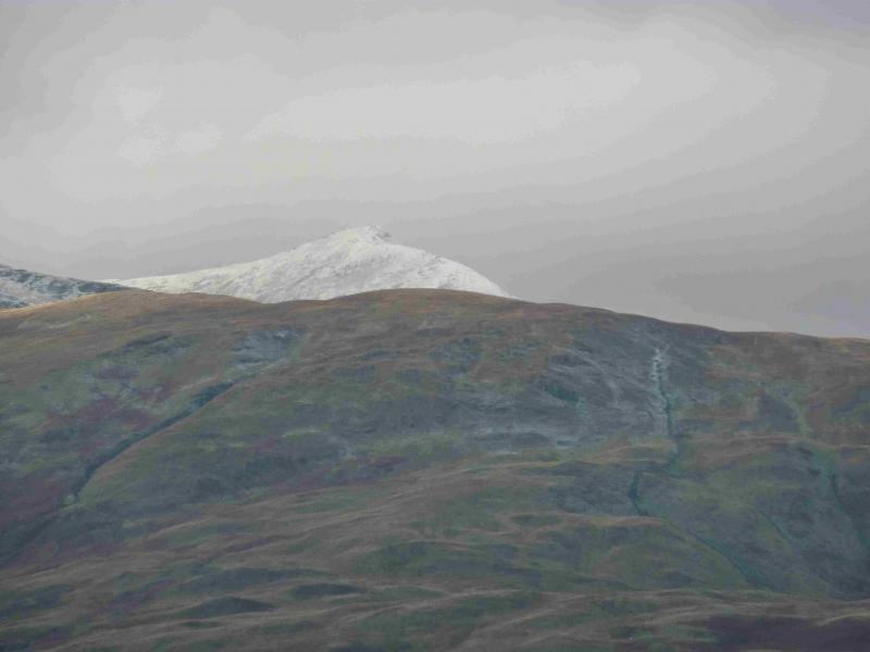
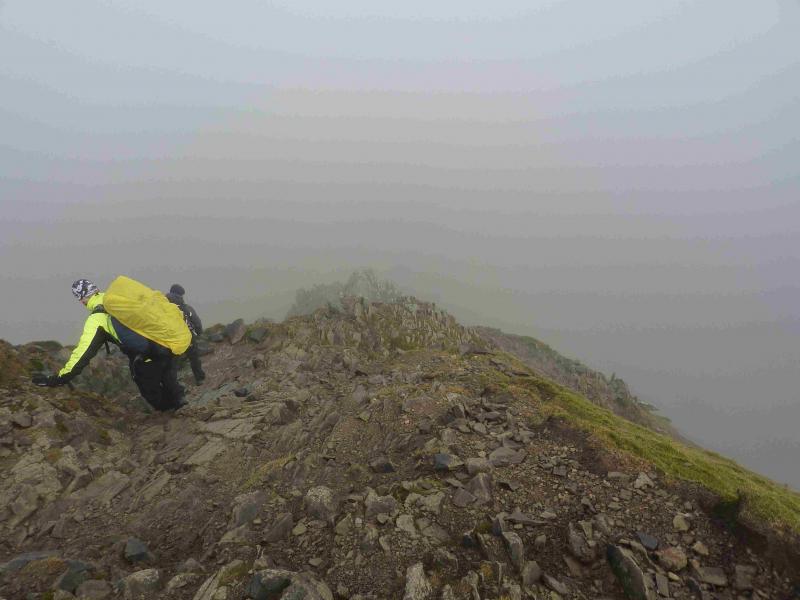
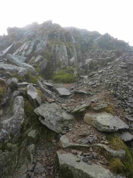
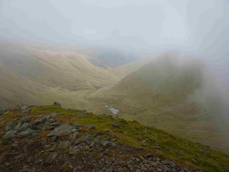
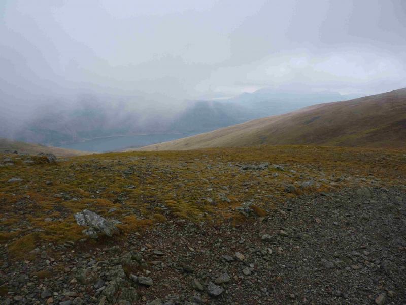
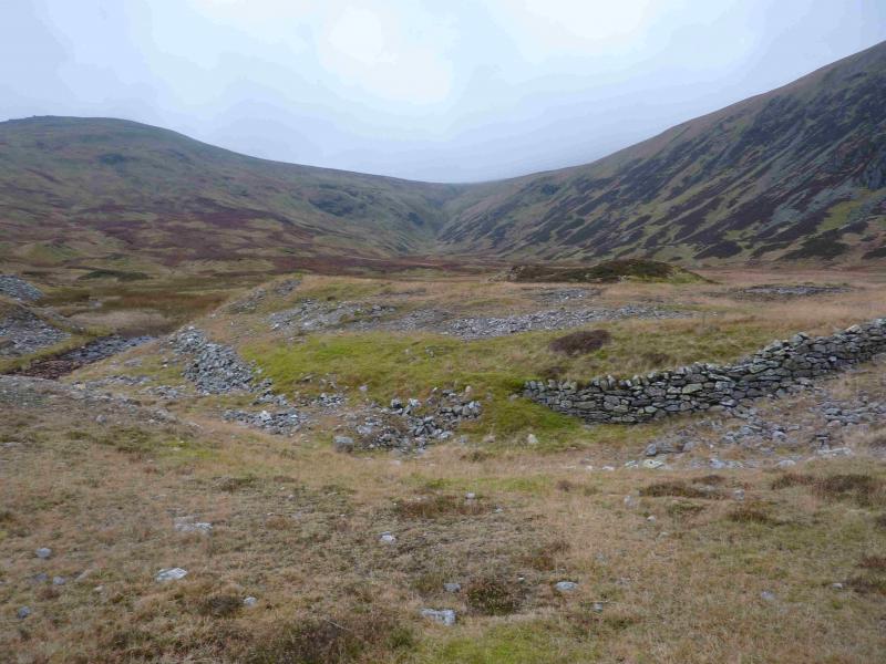
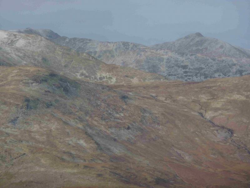
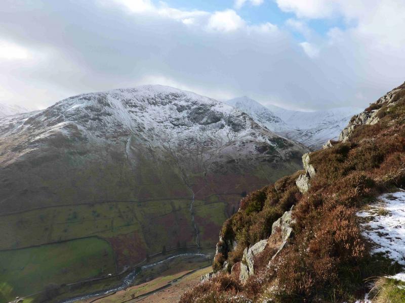
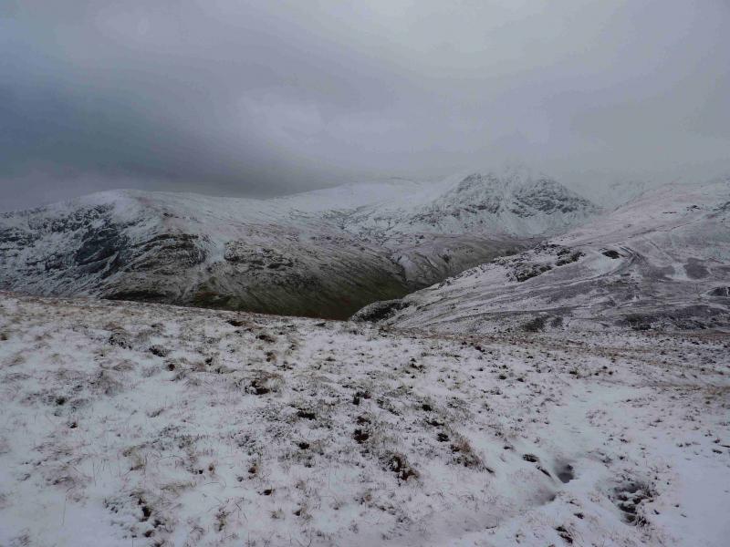
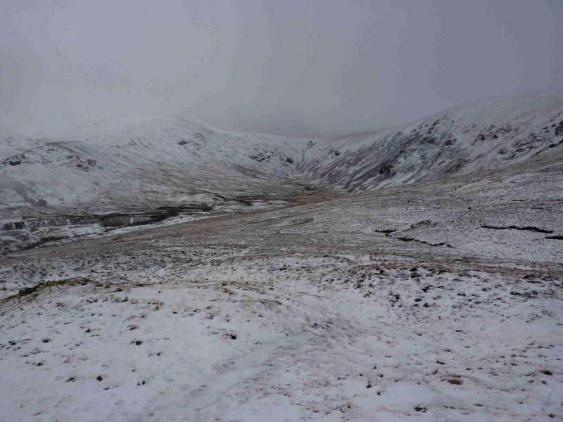
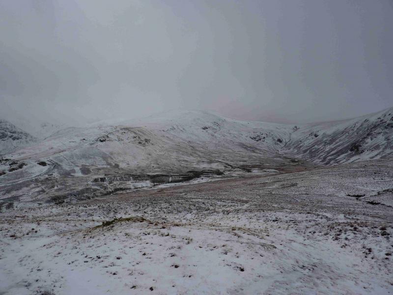
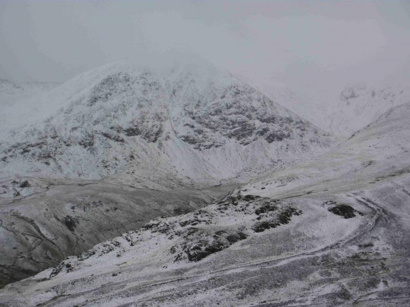
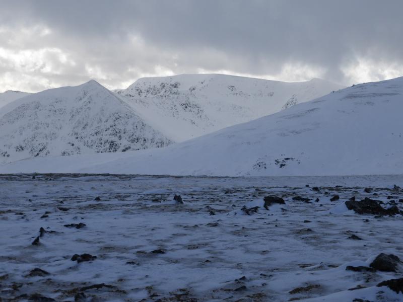
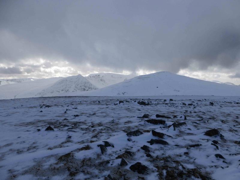
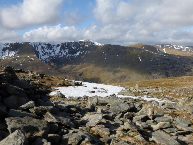
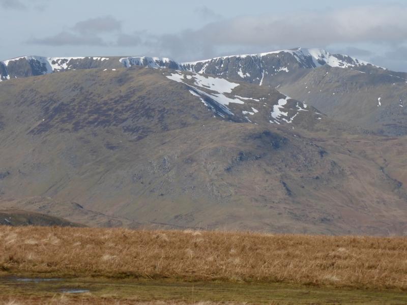
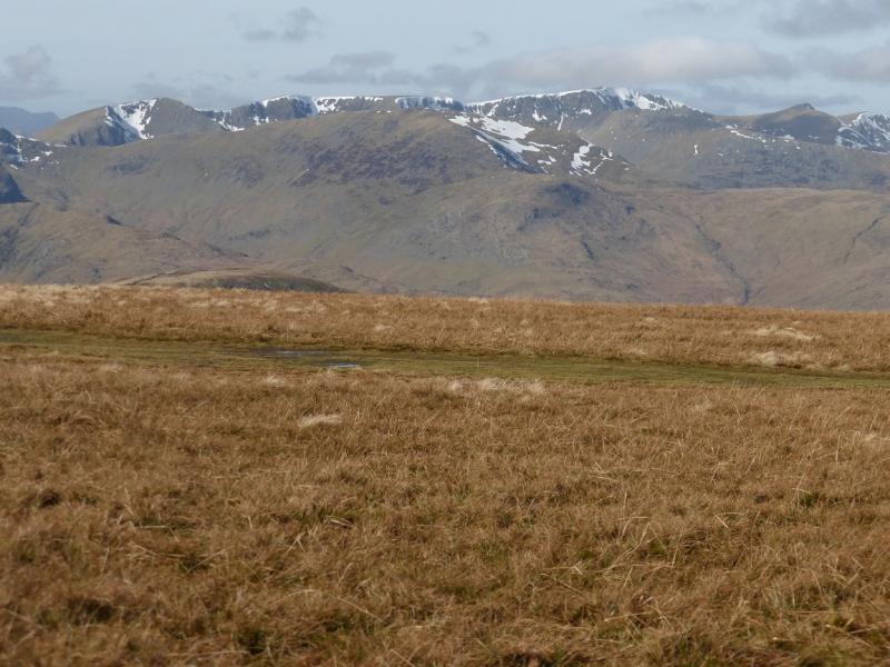
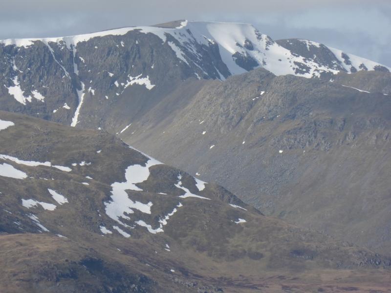
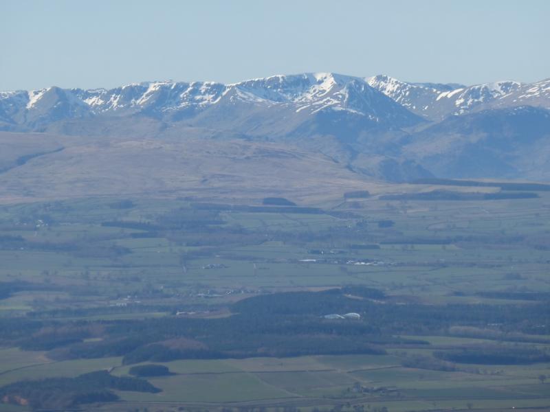
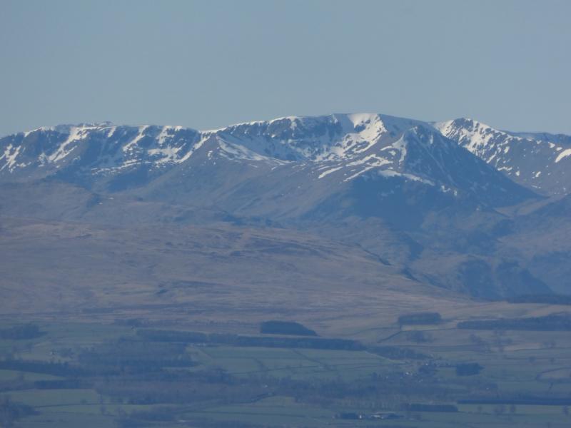
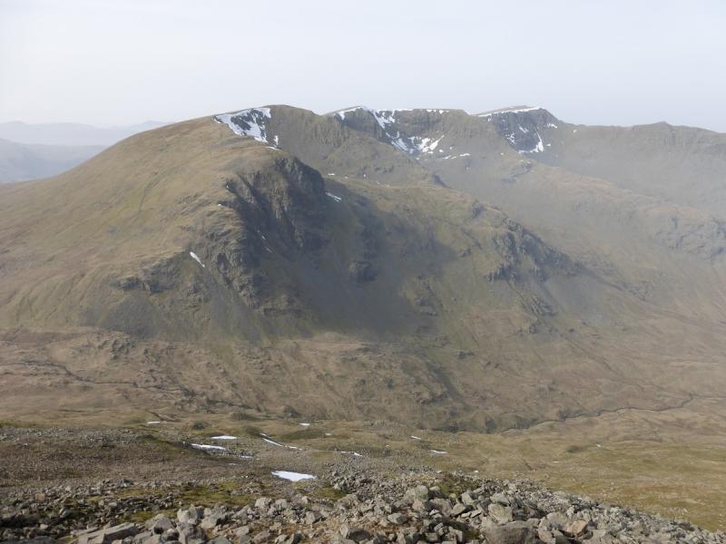
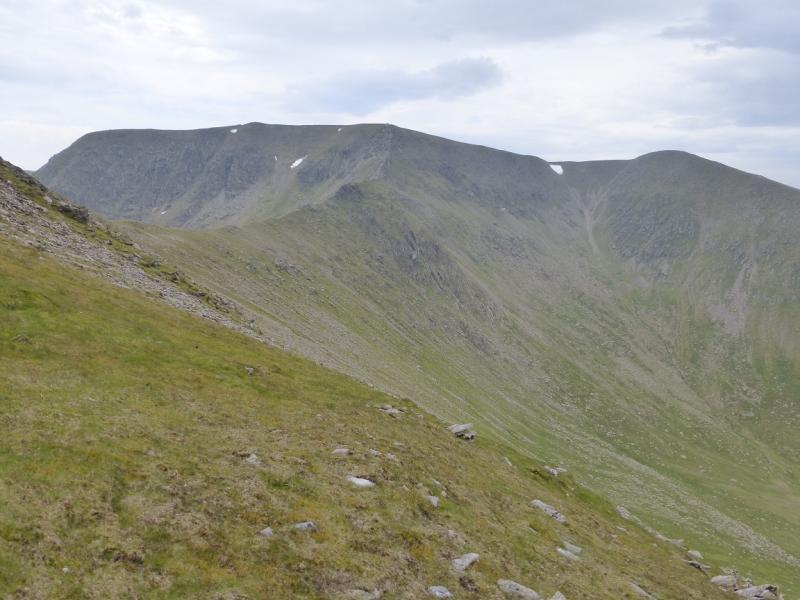
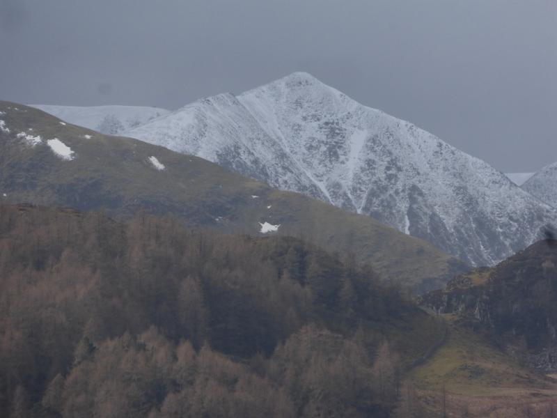
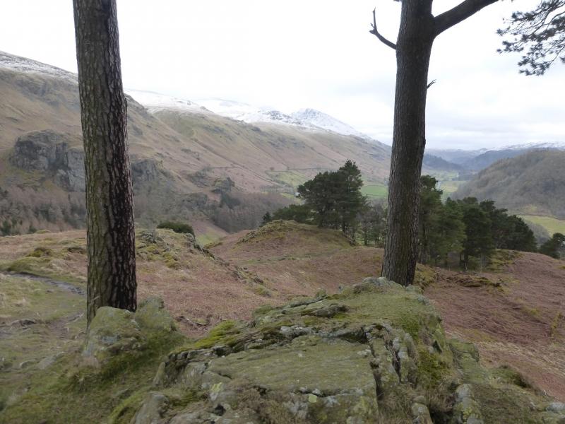
This is a shortish walk, ideal for a mid-winter's day. However, the ascent of Swirral Edge is a major undertaking in winter conditions and are only for the experienced winter walker under such conditions. Having said that, if there is no snow or ice and it is a dry and clear day, this route should be well within the capability of an experienced summer walker who could have the mountains to himself whereas in summer, the route can be exceptionally busy. Despite its reputation, Swirral Edge is relatively straight forward if the rock is dry. There are several paths below the crest for those who find the crest itself somewhat unnerving. Swirral Edge has a steeper crest but is no more difficult than Striding Edge if you are familiar with that route. On a clear day, views are extensive to most of the high Lakeland peaks including the Scafell range, Langdale ranges, Skiddaw and Blencathra and the High Street range. Closer hills such as Fairfield, St. Sunday Crag, Sheffield Pike and Place Fell dominate the near landscape. It would be very easy to miss out Catstye Cam but many regard it as the finest peak in the Helvellyn range. The return from Sticks Pass goes through an old mining area which is still recovering form its industrial past.
Route
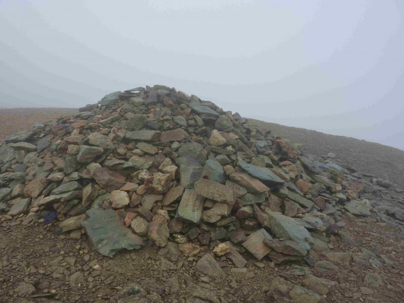
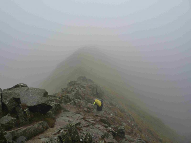
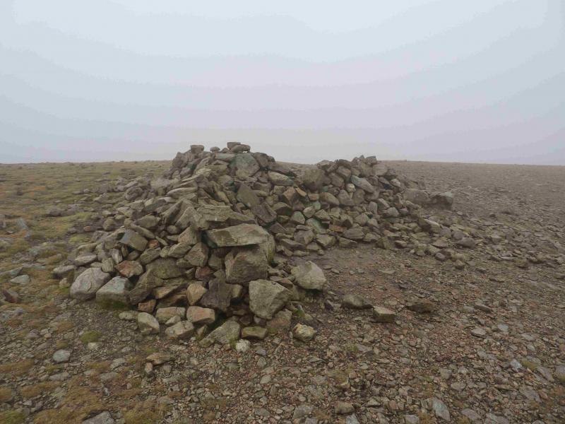
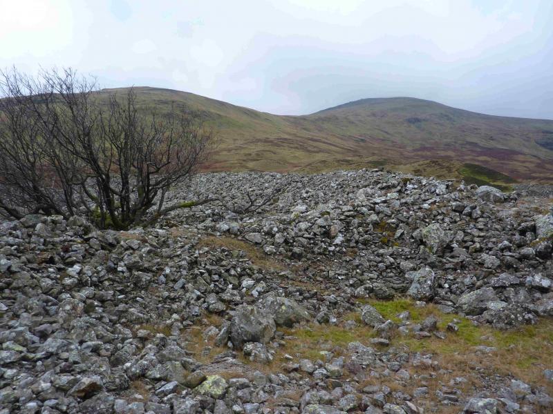
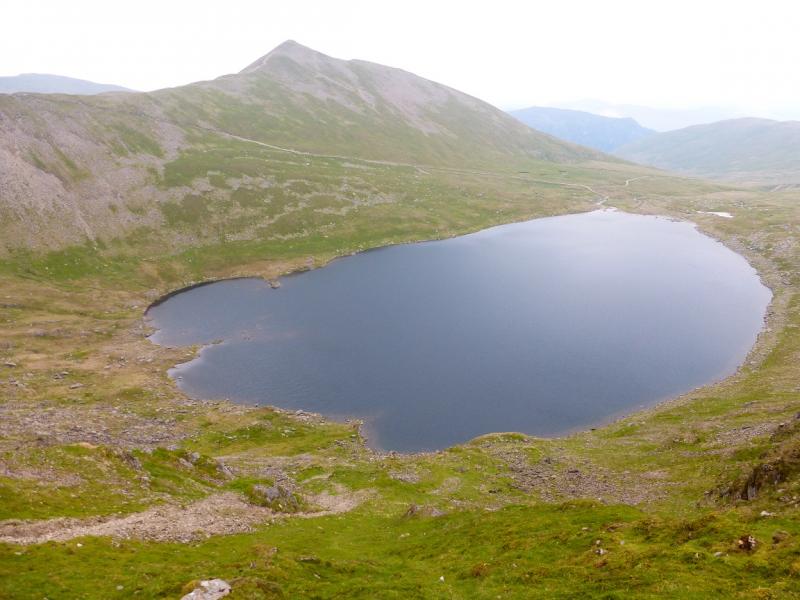
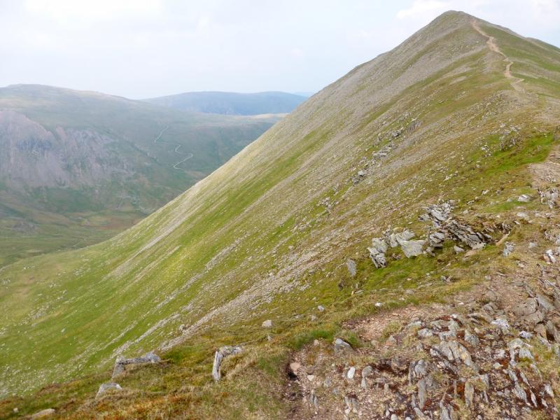
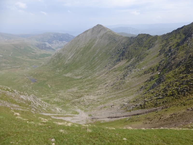
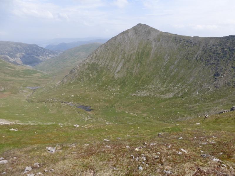
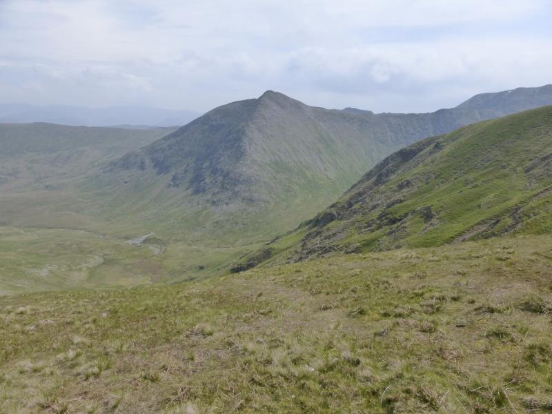
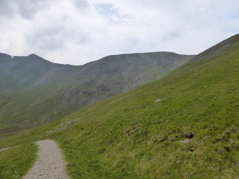
(1) From Glenridding village, walk up the road to the N of the car park and to the N of Glenridding Beck. Continue past the Traveller's Rest public house. When the tarmac road swings right, continue ahead on a rougher road cum track signposted for Gillside Camp Site. Continue across the bridge over Glenridding Beck, just past Rattlebeck Cottage, then follow the signs, not obvious, for Helvellyn via Mires Beck until there is one for Greenside (not Greenside road) which goes along the top wall following the valley. Follow this path until a grassy strip forks left and follow this up to an old miners' track which can be followed up the valley. Beyond the last buildings, the track climbs up towards Red Tarn. When the angle eases, look for a grassy/boggy path going off to the right which ascends the E ridge of Catstye Cam. Higher up, the path improves crossing a shoulder before a final short ascent to a medium cairn which marks the summit of Catstye Cam, 890 m.
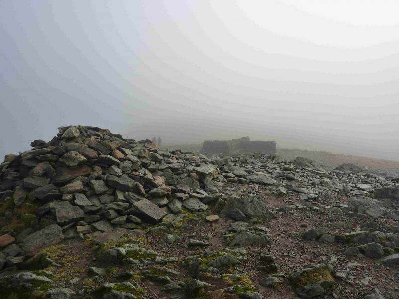
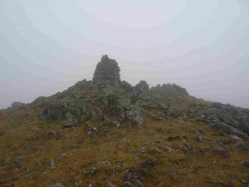
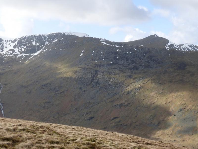
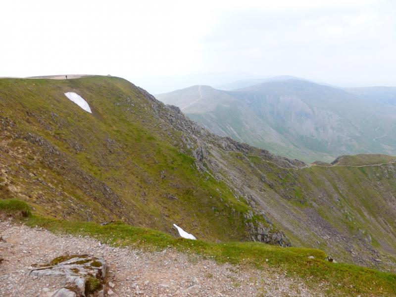
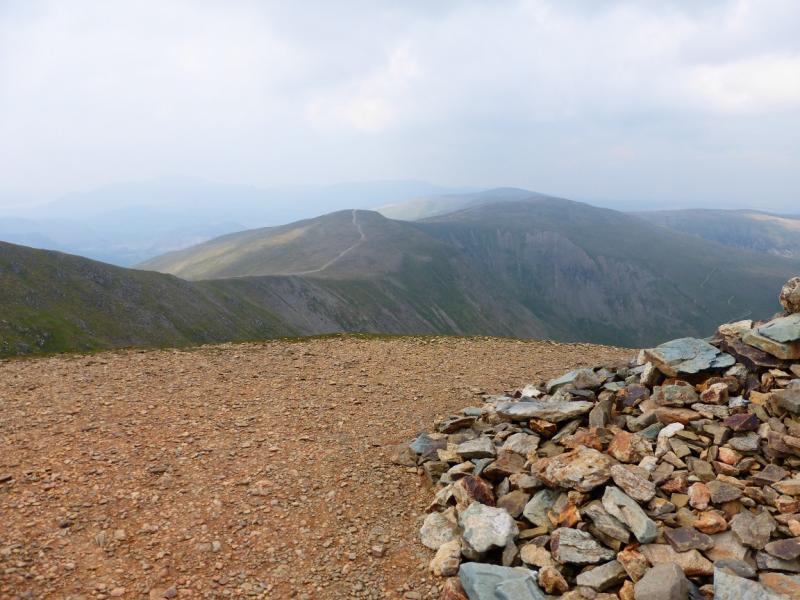
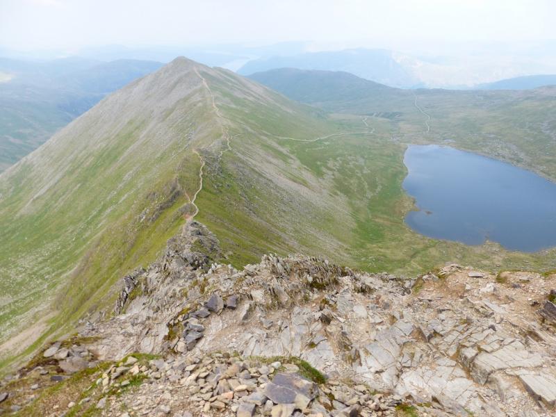
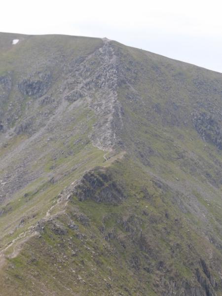
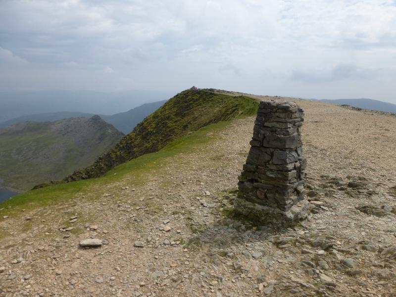
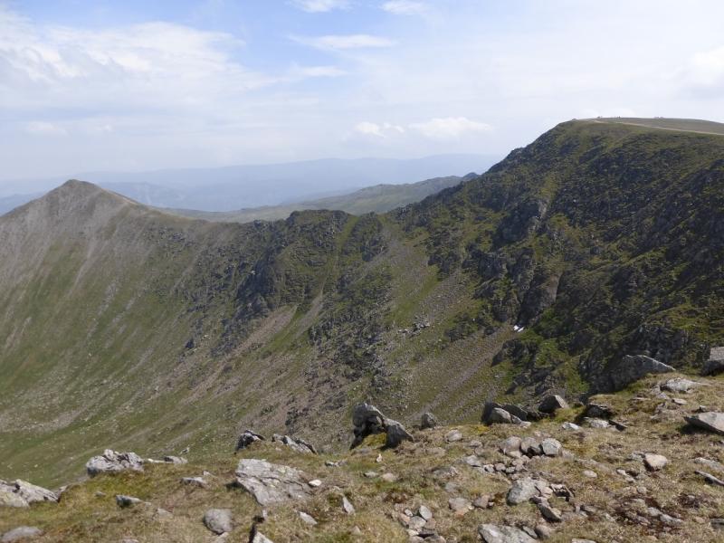
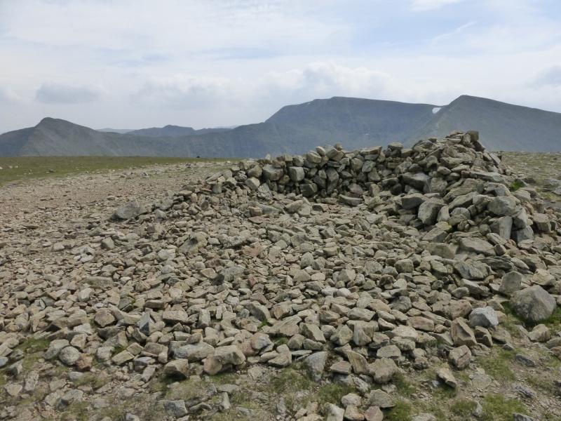
(2) Walk SW from the summit on a more obvious path and follow it down to a col. Continue along the crest to reach the start of Swirral Edge where the crest steepens and becomes much more rocky. Pick a way up the rocky crest – there is an easier path for some of the way – until a final steep section leads to a large cairn on the edge of the Helvellyn plateau. Turn left, S, and follow the edge to the trig point. A little further is a large cairn which marks the summit of Helvellyn, 950 m. A little further still is a good shelter cairn in the shape of a cross.
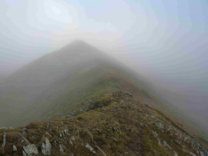
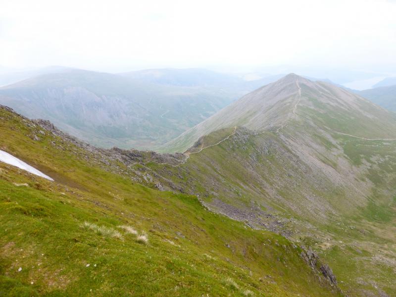
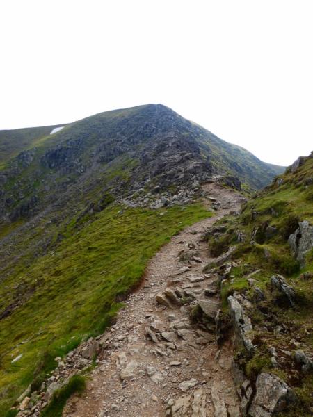
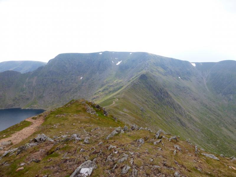
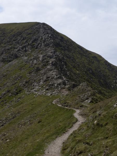
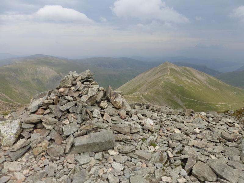
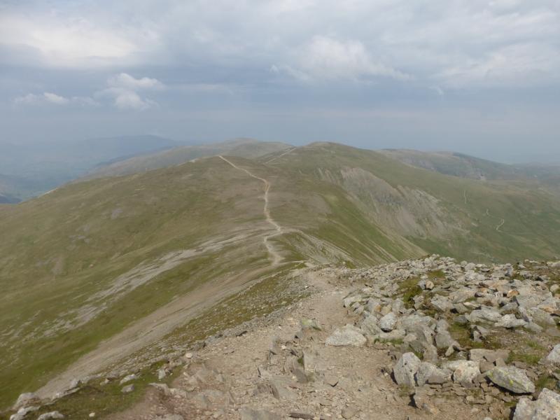
(3) Retrace back to the cairn at the top of Swirral Edge but continue WNW, keeping the edge on your right, and descend down to a shallow col, on a good path, then ascend easily to a small plateau where a medium cairn marks the summit of Lower Man, 925 m.
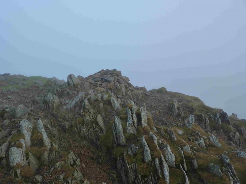
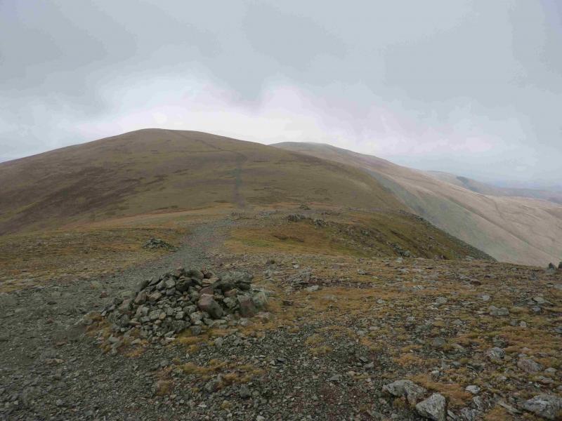
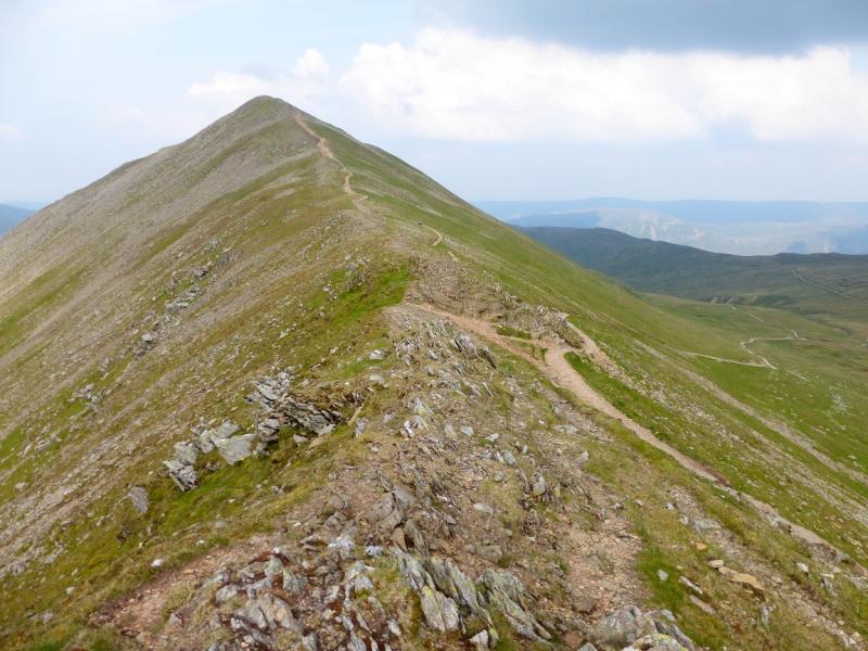
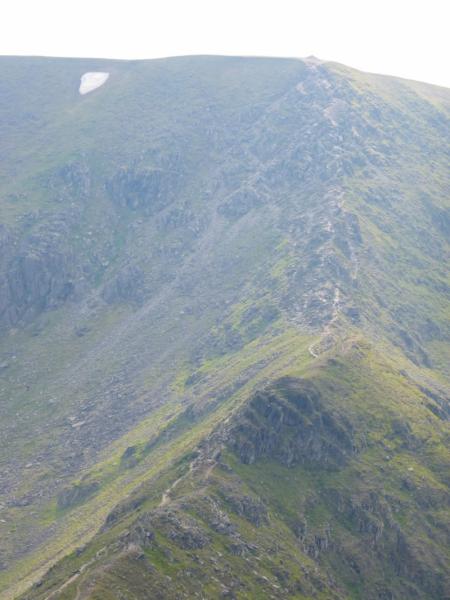
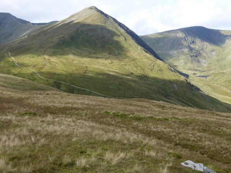
(4) Continue N, descending easy ground on a very distinctive path to a col then continue up the other side to reach a three wall shelter cairn which marks the summit of Whiteside, 863 m.
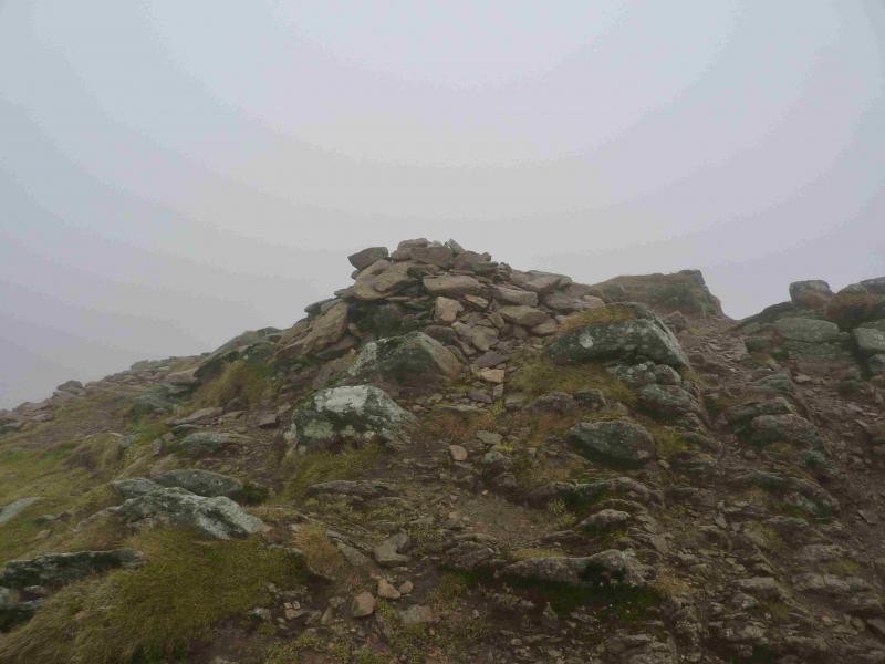
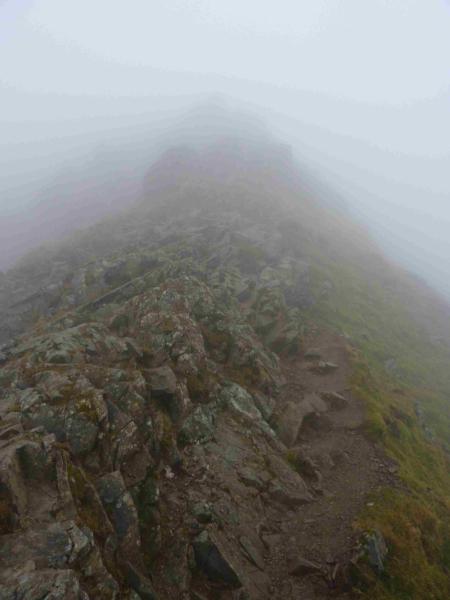
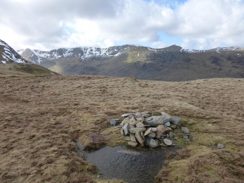
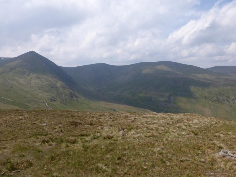
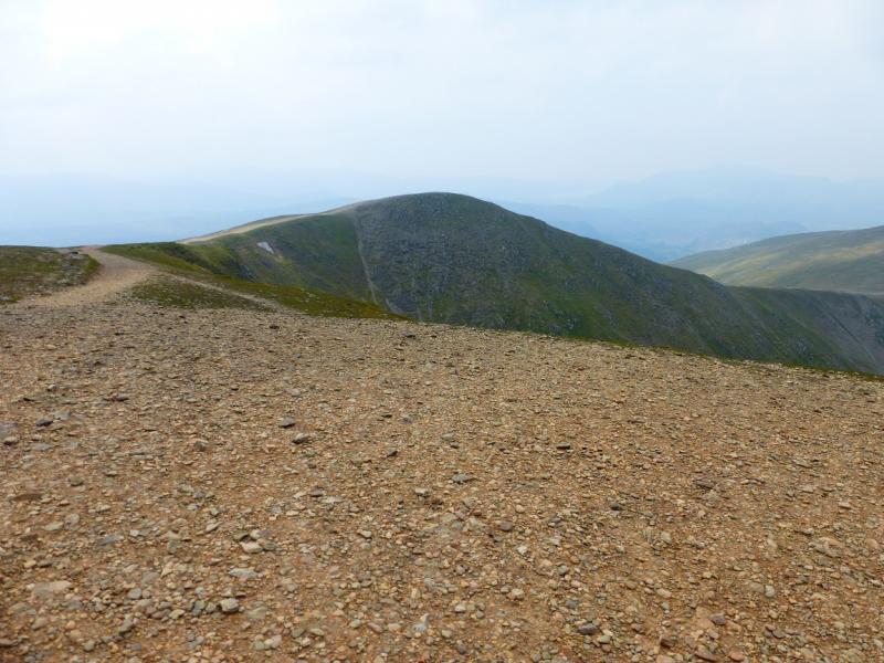
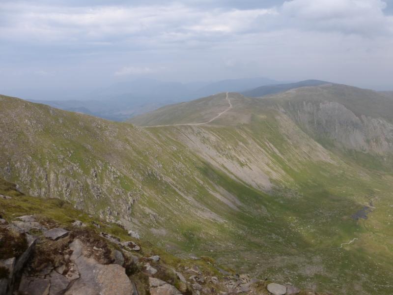
(5) The path splits here so make sure you take the right hand one which descends roughly NE and is still very distinctive. This leads down to a col where the more obvious path forks right before descending to Glenridding Common. Do not take this path. Instead stay on the broad crest where the path is not as obvious and ascend NE to reach a stony plateau where a distinctive tall cairn marks the summit of Raise, 883 m.
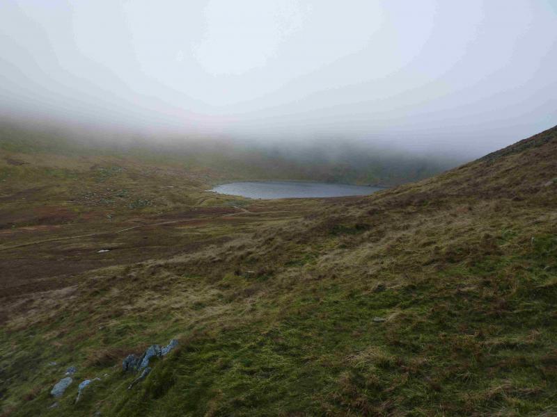
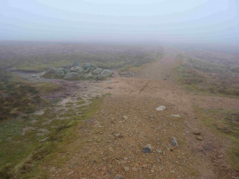
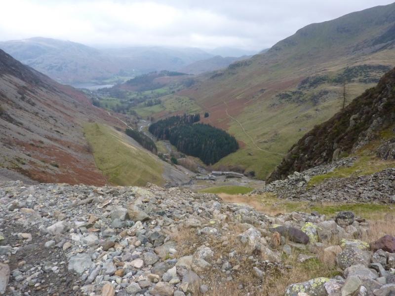
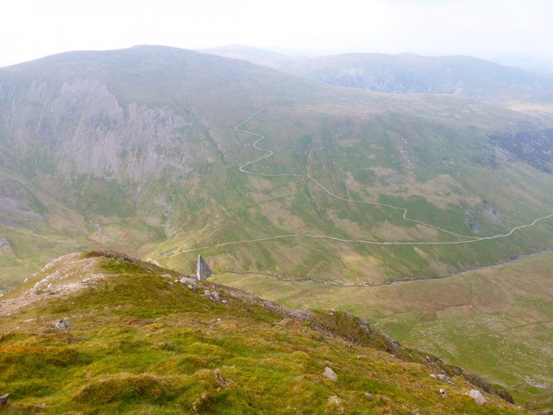
(6) Descend a not very obvious path NNW which soon broadens and leads to Sticks Pass which is a crossroads of paths by a low pile of large stones. Turn right, E, and follow the path down to the old mine workings where it crosses the beck by a bridge then zig zags down to the old mine buildings in the Greenside valley. Walk down the road back to Glenridding.
Notes
(a) This walk took place on 2nd December, 2013.
(b) An alternative route from Glenridding is to walk back to the main road and go up the S side, where the shops are, to come out just above Rattlebeck bridge.
Photos - Hover over photo for caption. Click on to enlarge. Click on again to reduce.