Get Lost Mountaineering
You are here: England » Lake District » 1 Eastern Fells
Middle Dodd, Red Screes, Dove Crag, Hart Crag & Hartsop Above How from Cow Bridge Car Park by Brothers Water
Middle Dodd, Red Screes, Dove Crag, Hart Crag & Hartsop Above How from Cow Bridge Car Park by Brothers Water
Start/Finish
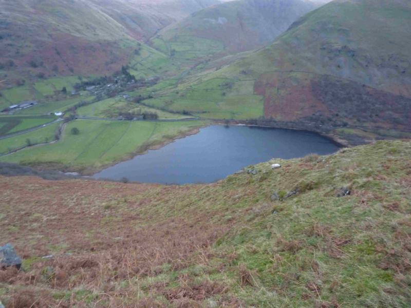
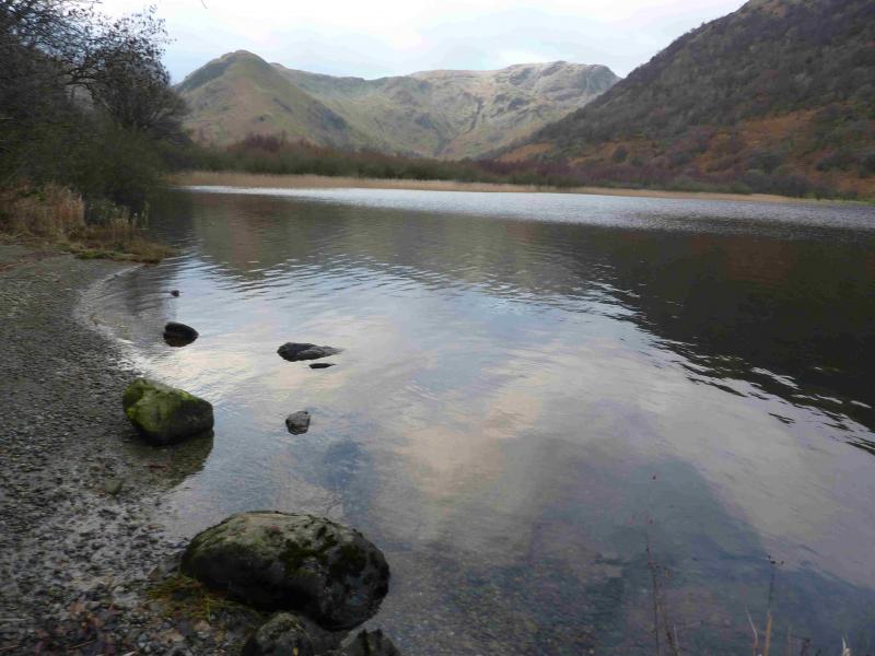
Cow Bridge car park which is at the NW corner of Brothers Water which is between Hartsop and Patterdale at the foot of Kirkstone Pass on the A592 road from Windermere to Penrith. The Kirkstone Pass road can be closed in Winter conditions so the start may have to be reached from the Penrith side. In summer, this car park can fill up quite early.
Distance/Time
15 km About 6 – 7 hours.
Middle Dodd, 654 m, NY 397 096.
Red Screes, 776 m, NY 396 088.
Dove Crag, 792 m, NY 374 105.
Hart Crag, 822 m, NY 368 113.
Hartsop Above How, 580 m, NY 384 120. OS 1: 50 000 , Sheet 90.
OS 1: 25 000 Outdoor Leisure 5, English Lake District NE Area.
OS 1: 25 000 Outdoor Leisure 7, English Lake District SE Area.
Introduction
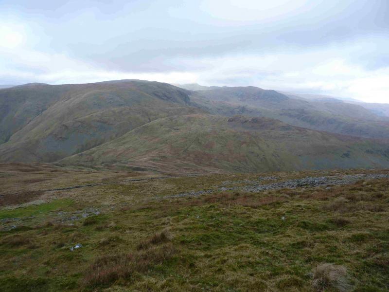
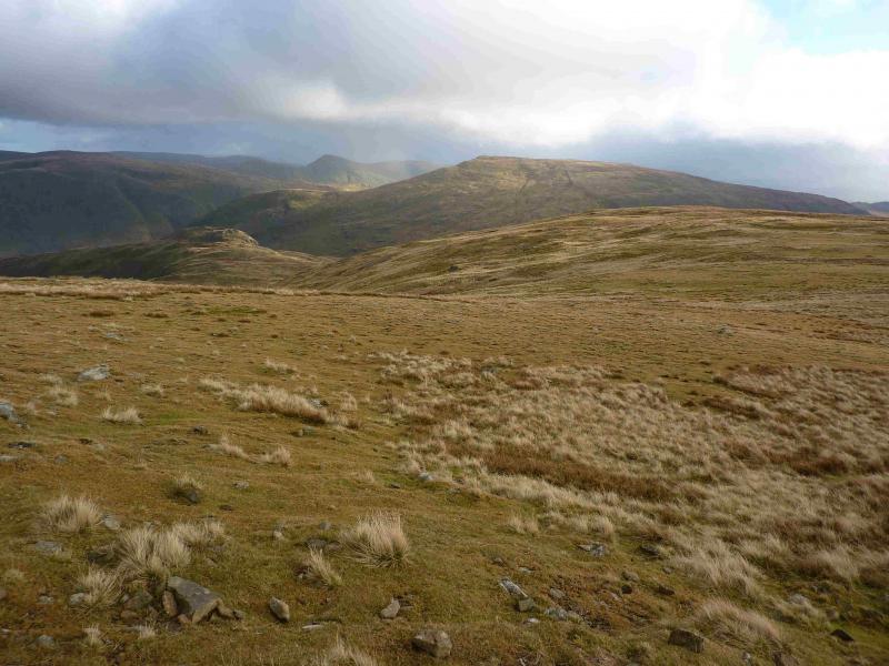
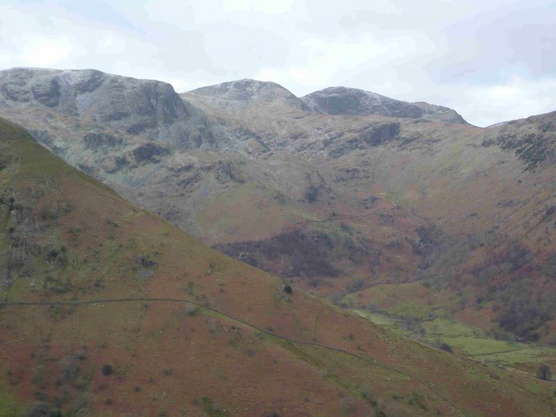
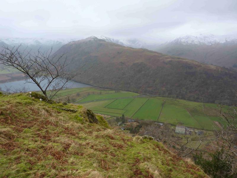
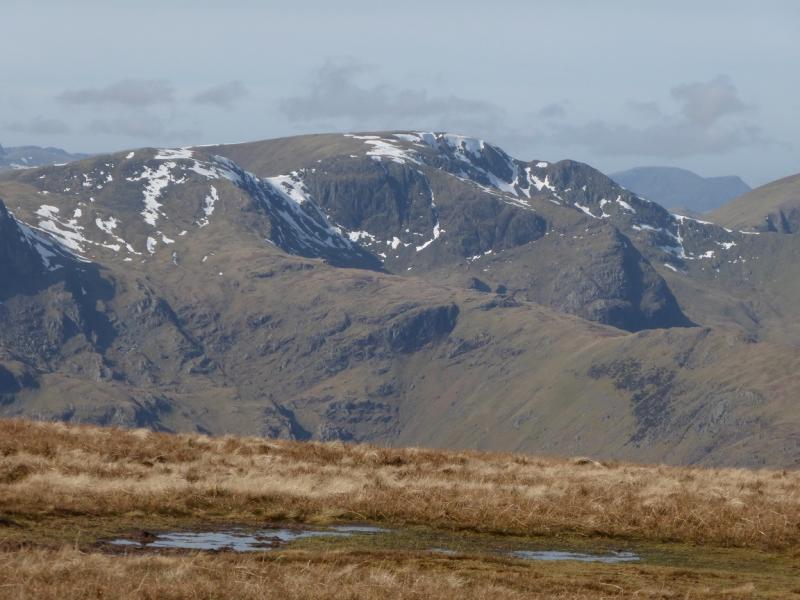
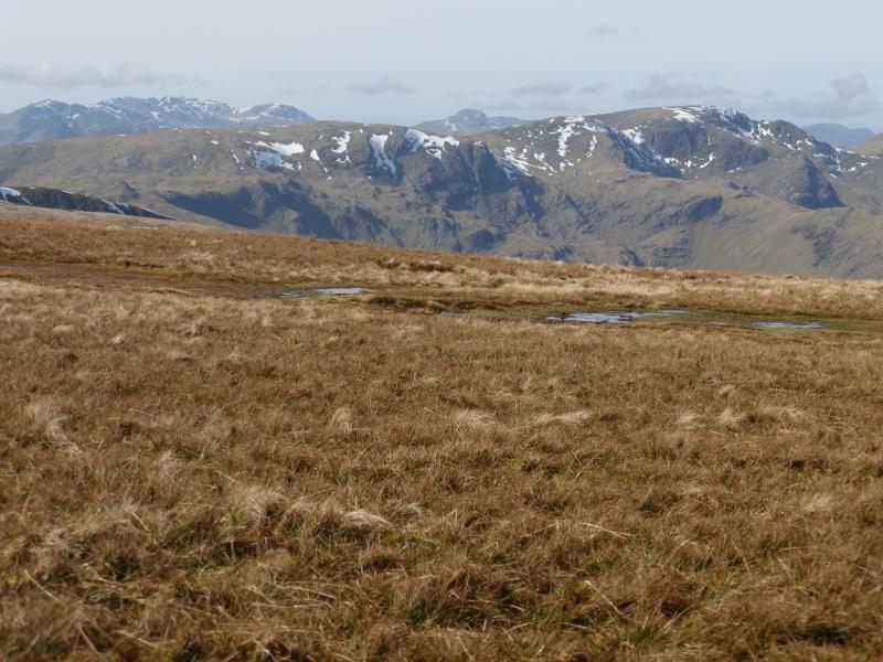
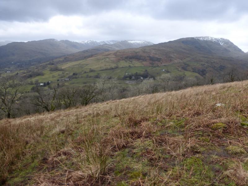
This is a fairly strenuous walk but it can be completed during a mid-winter's day. Parts of the route, especially the ascent of Middle Dodd, are quite steep and would only be for the experienced under winter conditions. The crossing of Scandale Pass involves considerable loss of height. The final descent from Hartsop Above How is fairly steep especially through the wood above the car park. This is an excellent walk for views on a clear day with the High Street range (across the Kirkstone road), Place Fell, Helvellyn and Fairfield all prominent.
Route
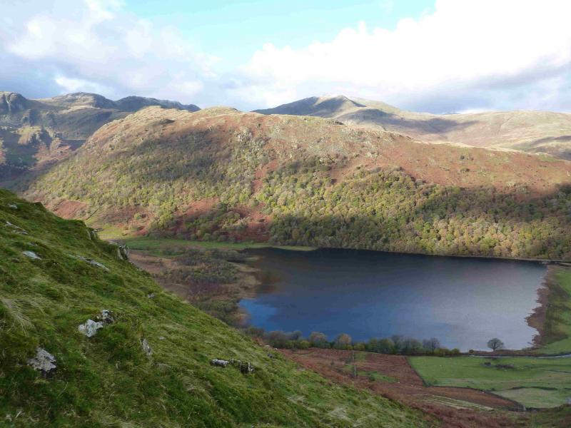
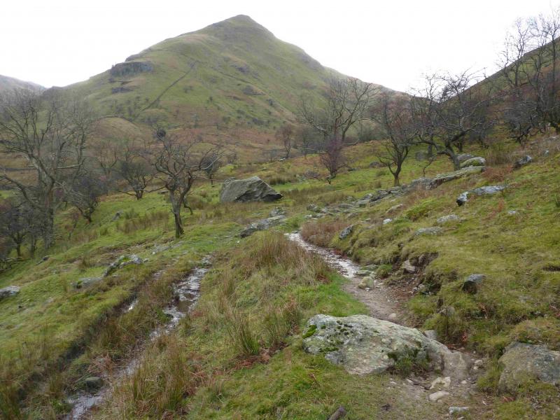
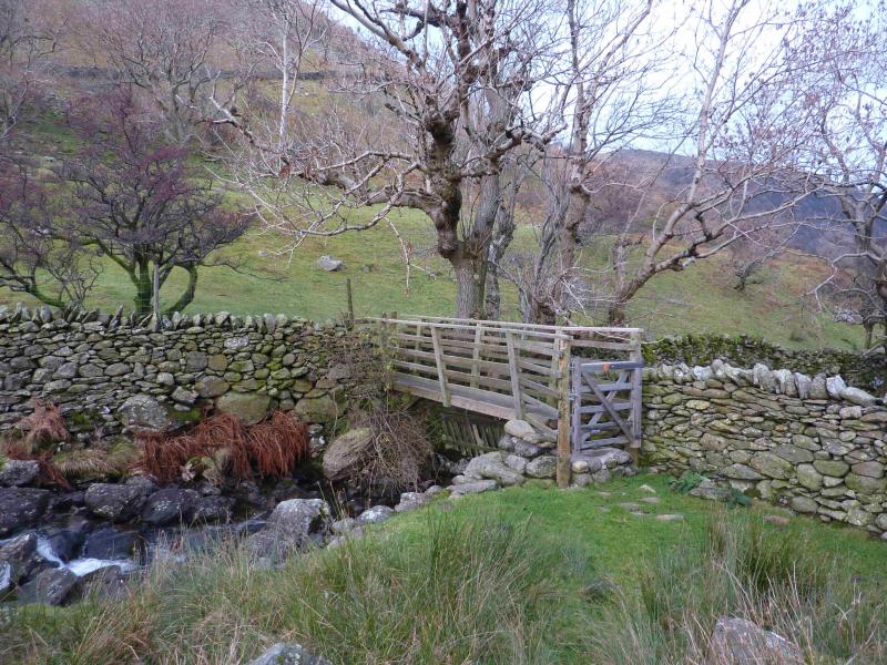
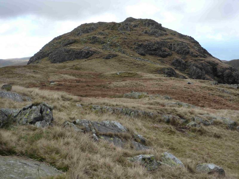
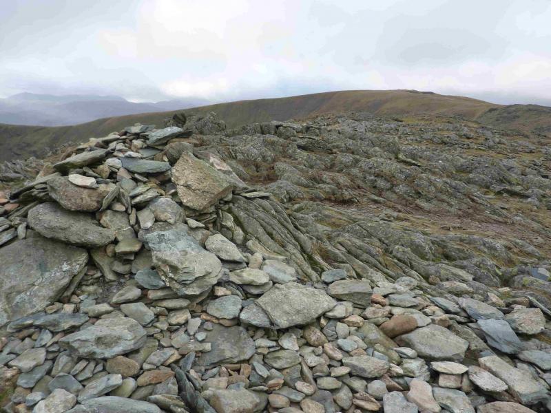
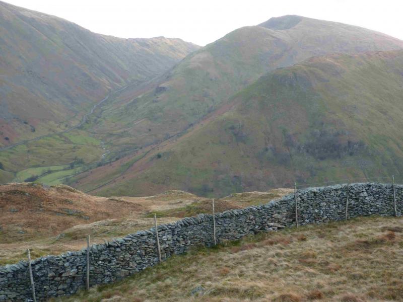
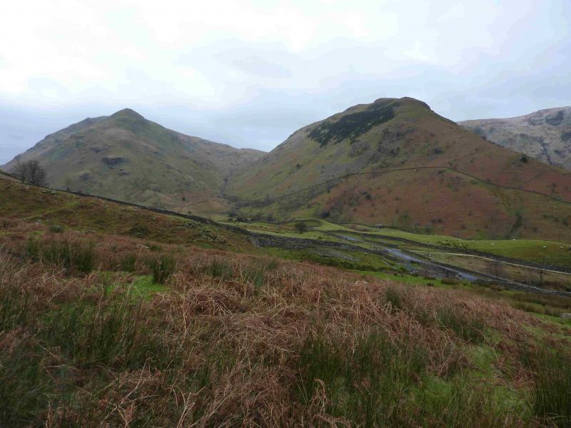
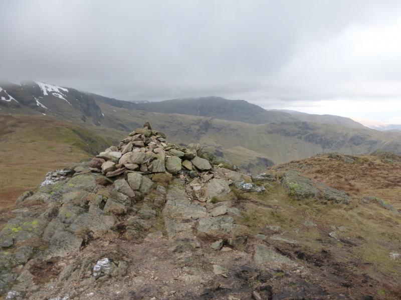
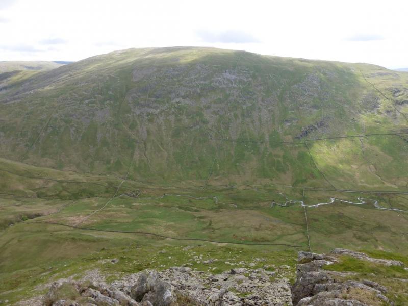
(1) From the car park, walk along the track behind Brothers Water. Continue beyond the end of the lake and go past Hartsop Hall. At the foot of Scandale Pass, cross a narrow footbridge over Caiston Beck then aim for the foot of the N ridge of Middle Dodd which has a wall running up it. Walk by the wall, broken in places, where there is no path initially. A path appears after a cross wall and this can be followed up the steep ridge. The two obvious crags are easily by passed to their right and the path, now more distinct continues up the ridge often on the left of the crest. Eventually the angle eases and a medium cairn is reached which marks the summit of Middle Dodd, 654 m, which is really only a shoulder of Red Screes.
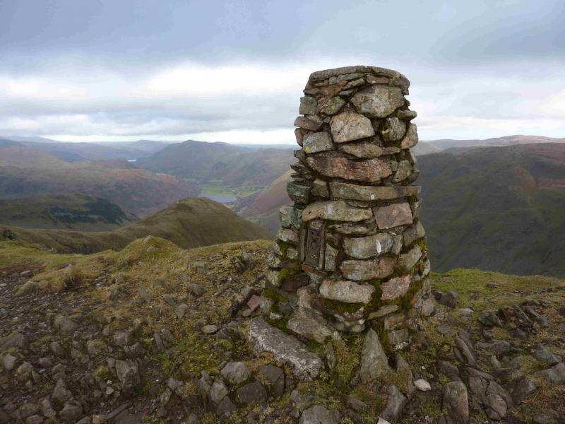
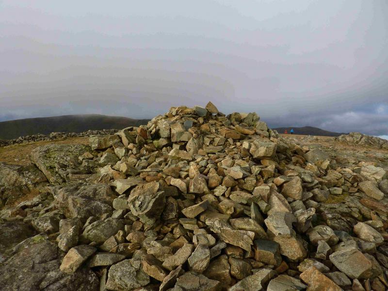
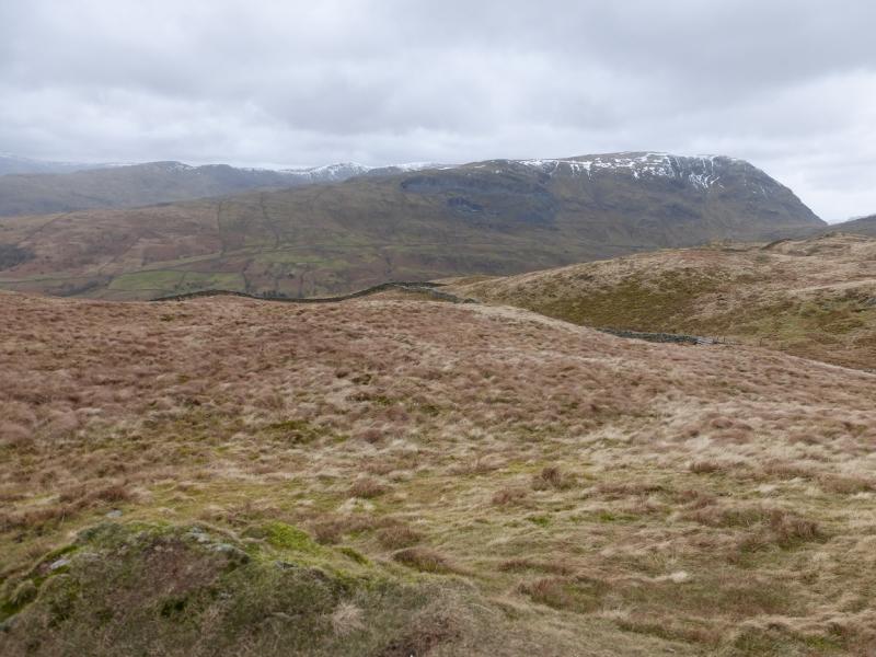
(2) Continue along the crest, with hardly any descent, then ascend easily to the traditional stone trig point and adjacent cairn which mark the summit of Red Screes, 776 m. A small tarn lies to the W.
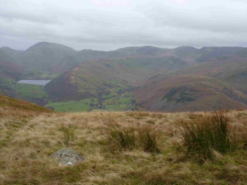
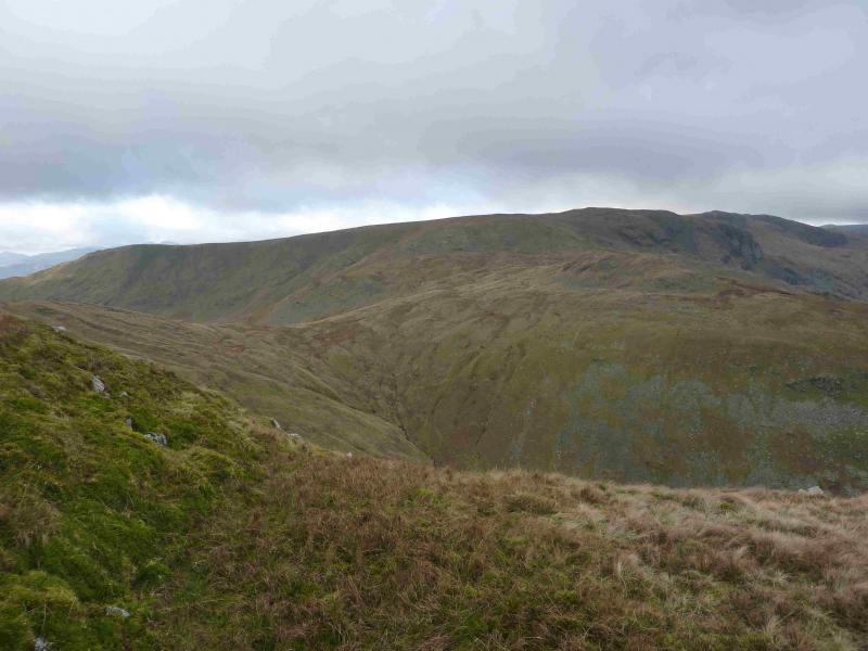
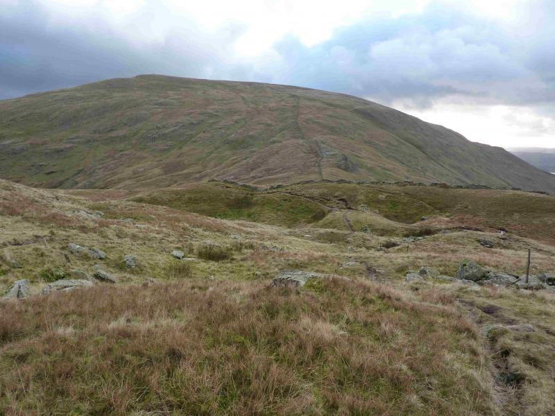
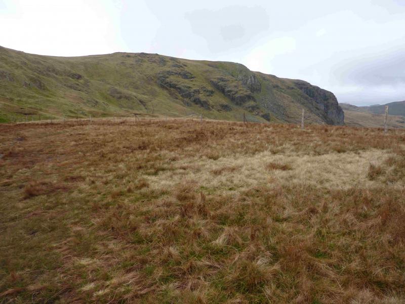
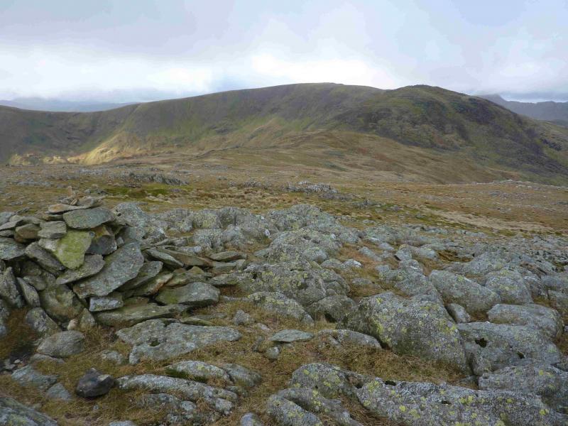
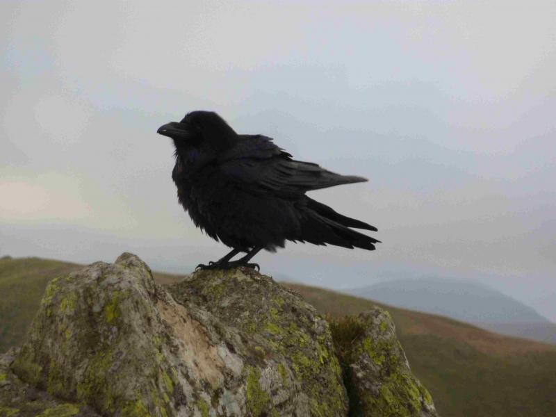
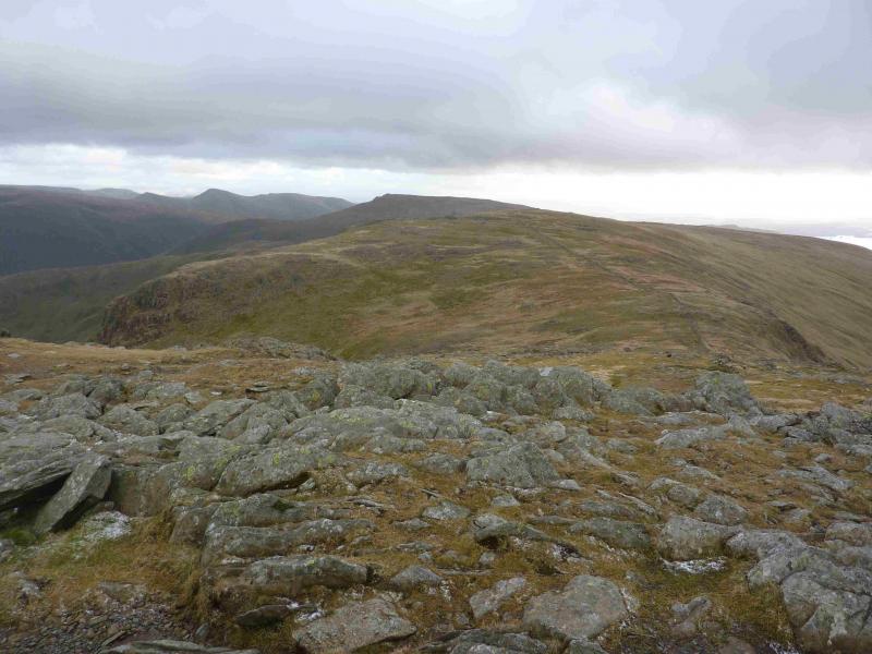
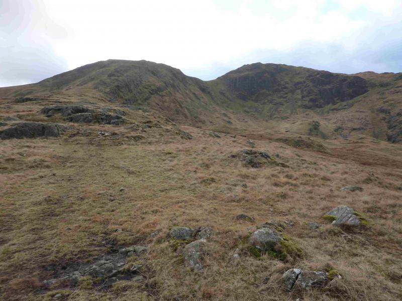
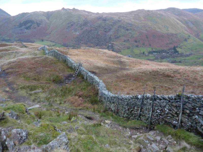
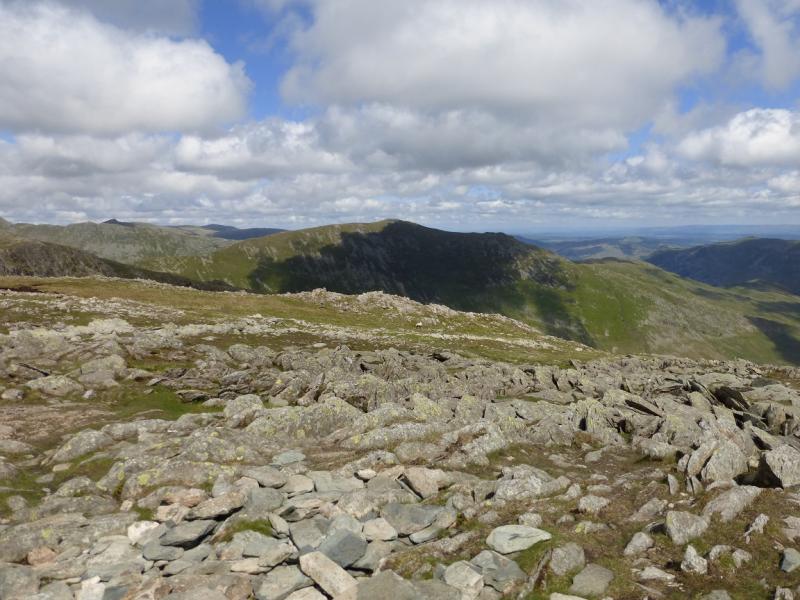
(3) Descend roughly NW on a path down easy slopes. The main path swings left then follows a wall but there is a less obvious path which is more direct. There is no problem just walking down the open slopes and the wall will be joined lower down just above Scandale Pass. Continue up the other side and reach the ridge just to the W of Little Hart Crag. Follow the path as it turns and ascends on to the ridge from Dove Crag to High Pike where there is a cairn. Turn right and follow the wall up on to a plateau where a medium cairn marks the summit of Dove Crag, 792 m. It is not unusual to see Ravens sitting on the wall near the summit.
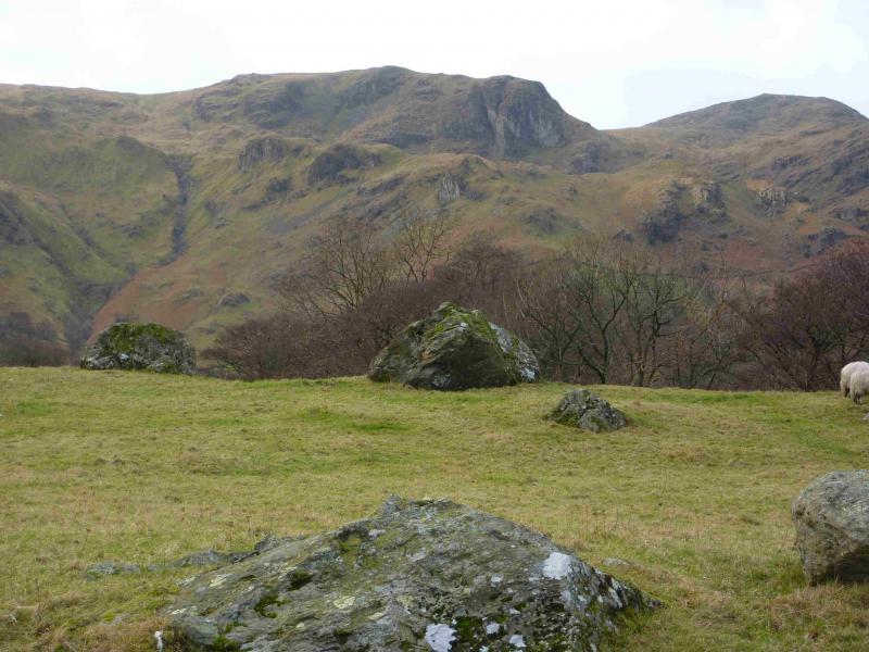
(4) Continue on the path, descending slightly then follow the path up. There is a boulder field so go to the right to find the path and follow it up to the medium cairn which marks the summit of Hart Crag, 822 m.
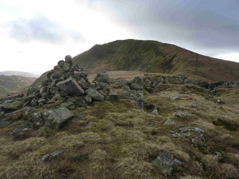
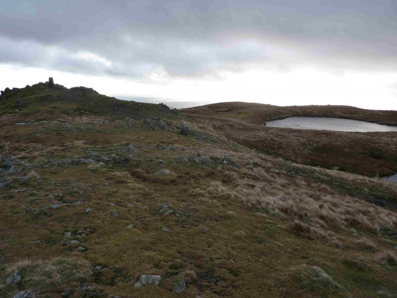
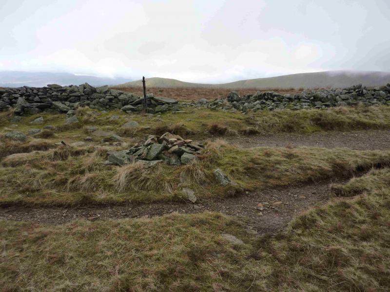
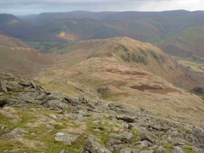
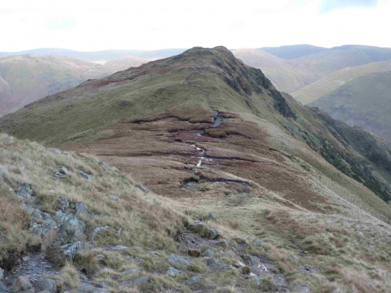
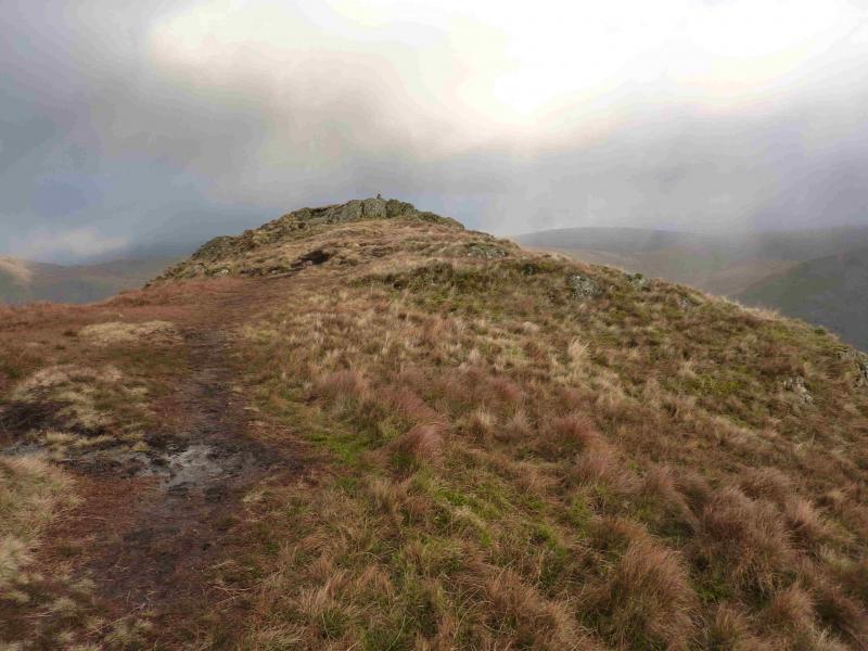
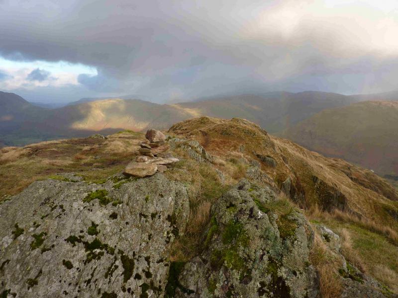
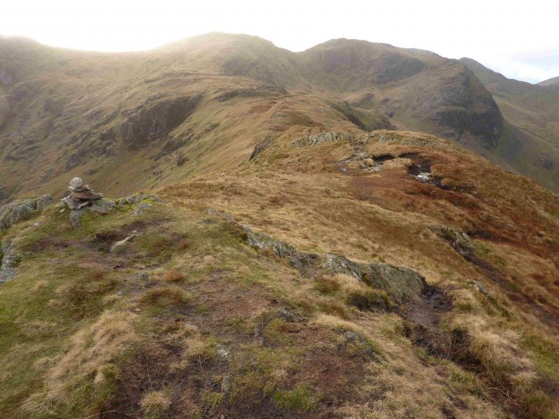
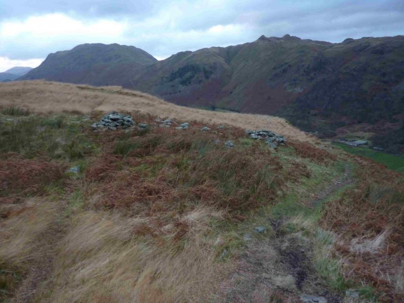
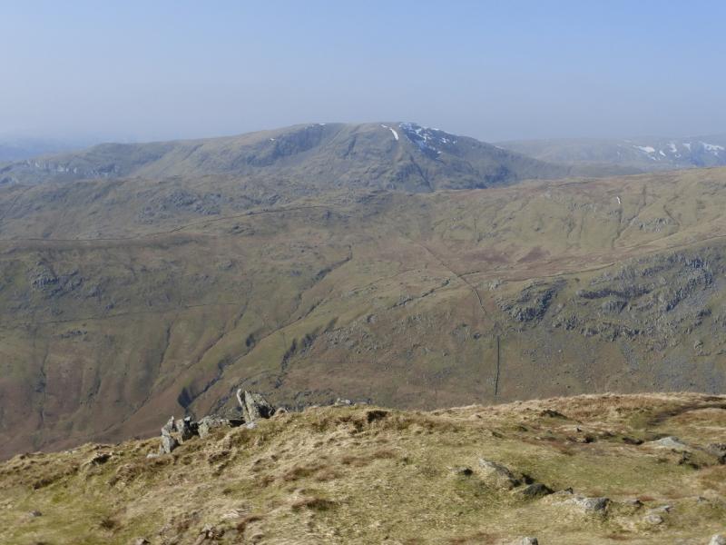
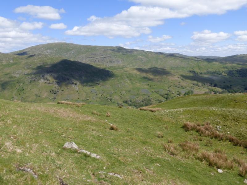
(5) In clear weather, the ridge of Hartsop Above How will be obvious to the ENE. The path goes down the left of the ridge initially and avoids much of the rocky areas although some are unavoidable but there are no real difficulties. Soon the going becomes more grassy and an obvious path can be followed along the, sometimes boggy, Hartsop Above How crest. After a shallow col, the ridge rises gently to a tiny cairn on a low outcrop which marks the summit of Hartsop Above How, 580 m.
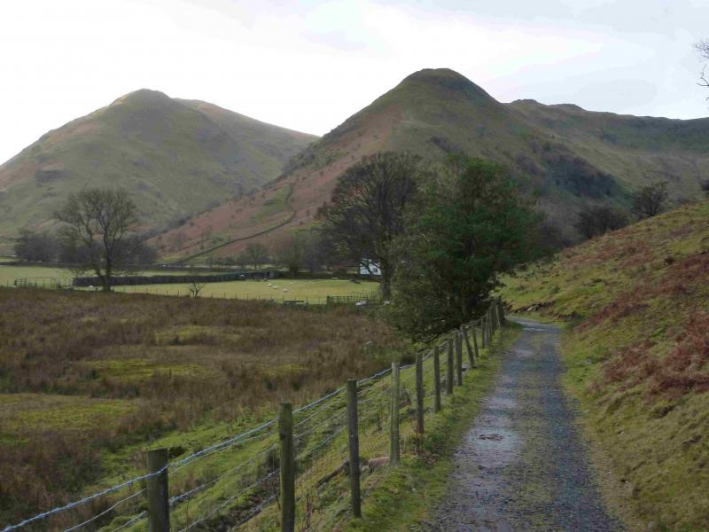
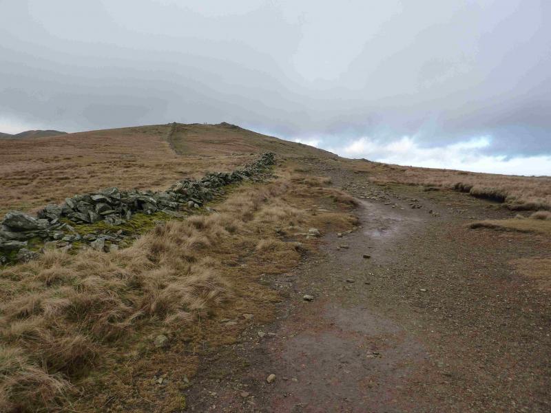
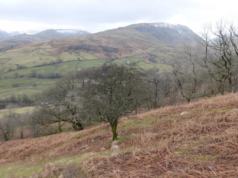
(6) Continue along the crest, boggy in places. Reach a stile over a wall on the right and cross over. Follow a path on the other side of the wall until two cairns are reached where the required path drifts right and slants down the side of the ridge. Further down, the gradient steepens and the path zig zags down through Low Wood, passing through two gates,to reach the car park.
Notes
(a) This walk took place on 4th December, 2013.
Photos - Hover over photo for caption. Click on to enlarge. Click on again to reduce.