Get Lost Mountaineering
You are here: England » Lake District » 2 Far Eastern Fells
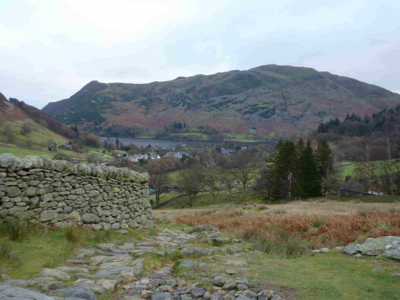
Place Fell from Hartsop
Place Fell from Hartsop
Start/Finish
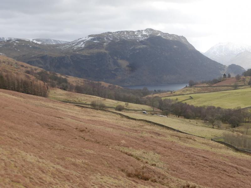
Park at the NW corner of Brothers Water as there is no nearer parking in Hartsop. Brothers Water is at the foot of the Kirkstone Pass on the A592 which runs from Windermere to Penrith.
Distance/Time
10 km About 4 – 5 hours
Peaks
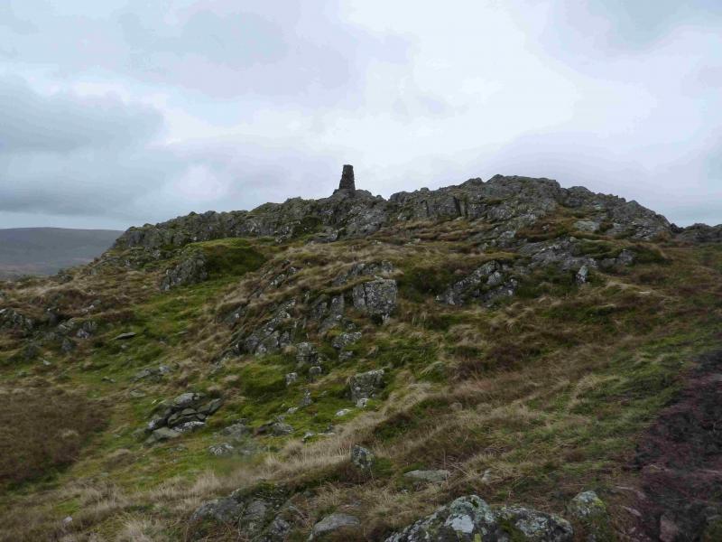
Place Fell, 657 m, NY 406 170. OS 1: 50 000 , sheet 90.
OS 1: 25 000 Outdoor Leisure 5, English Lake District NE Area.
Introduction
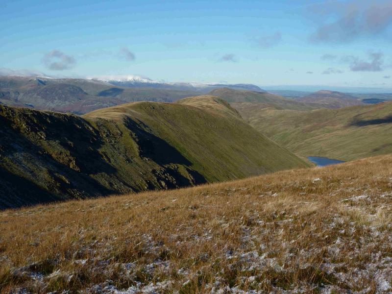
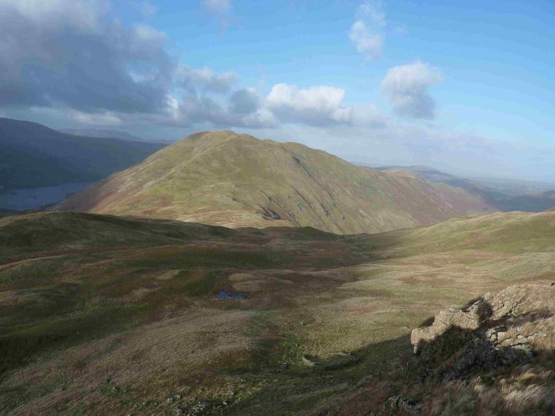
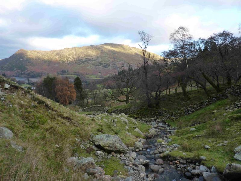
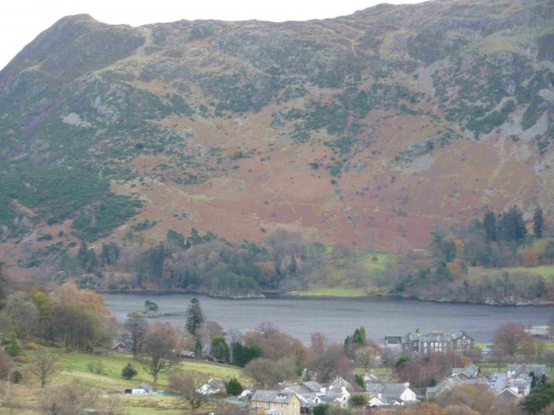
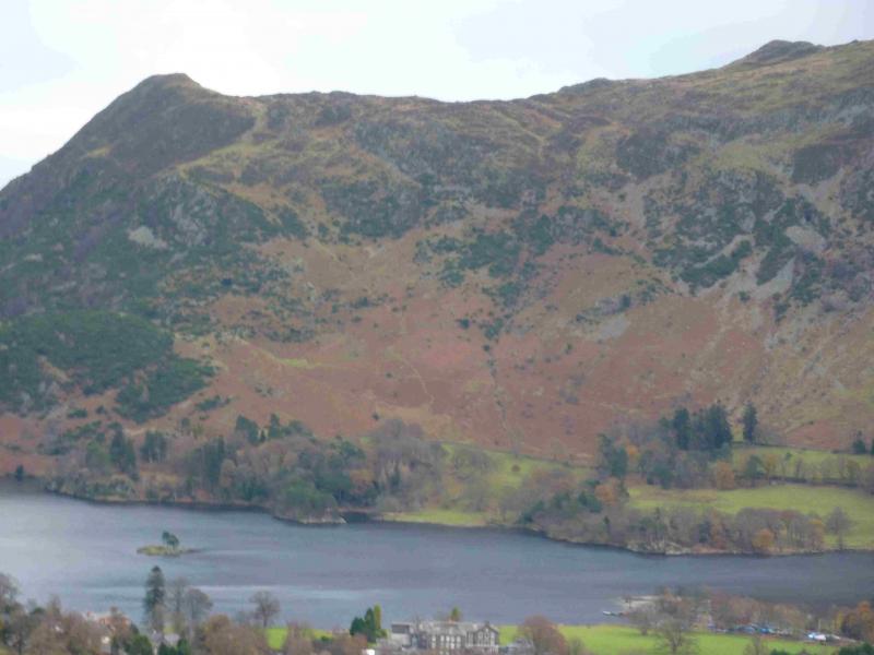
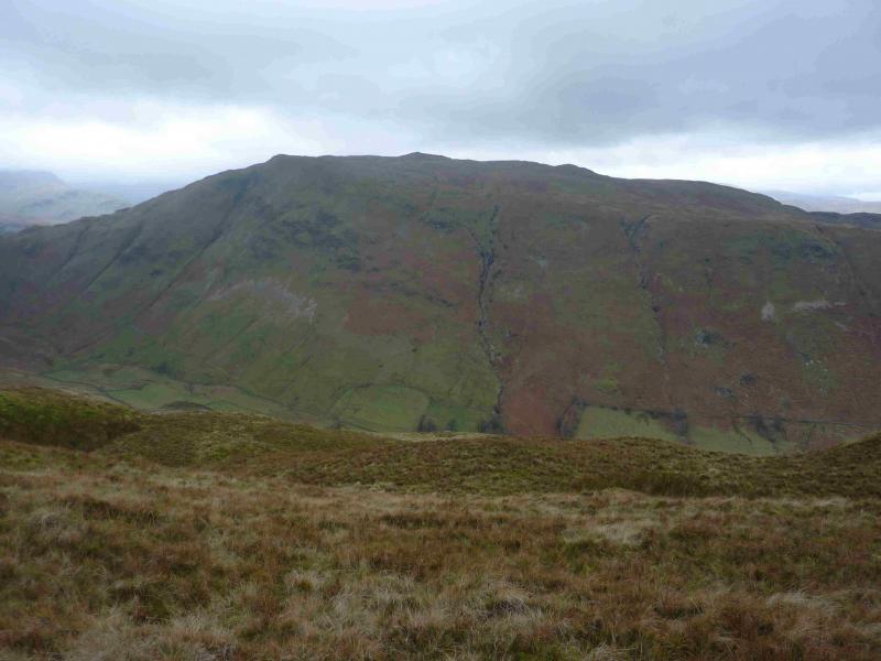
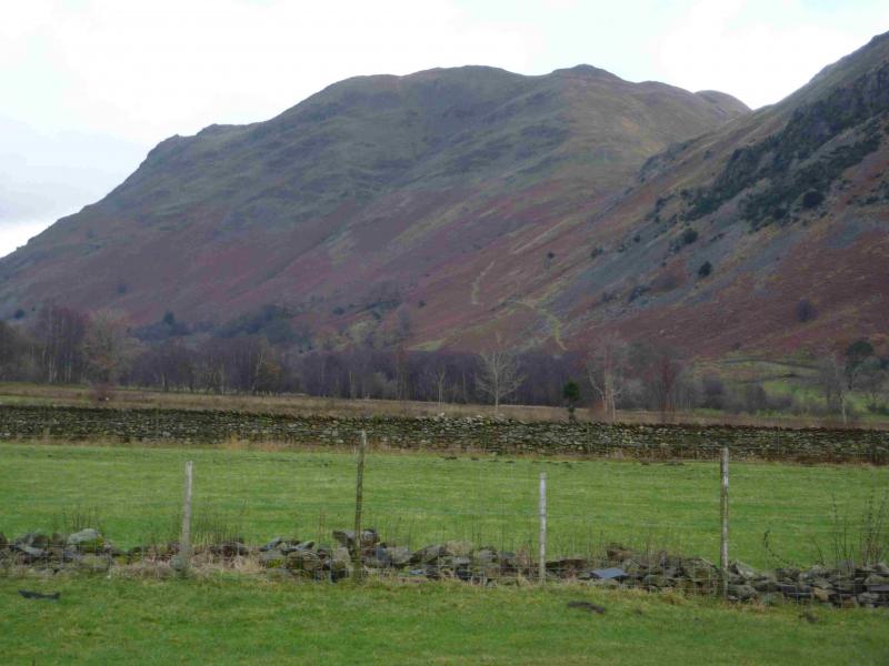
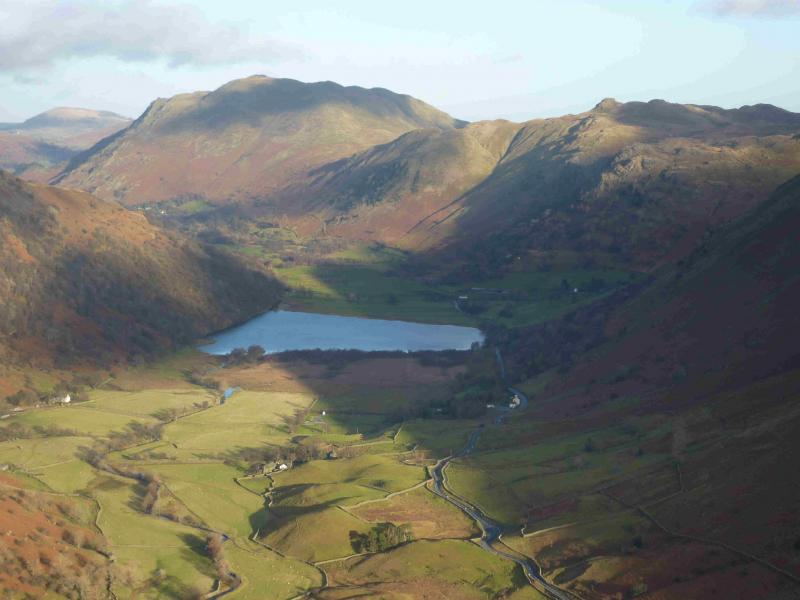
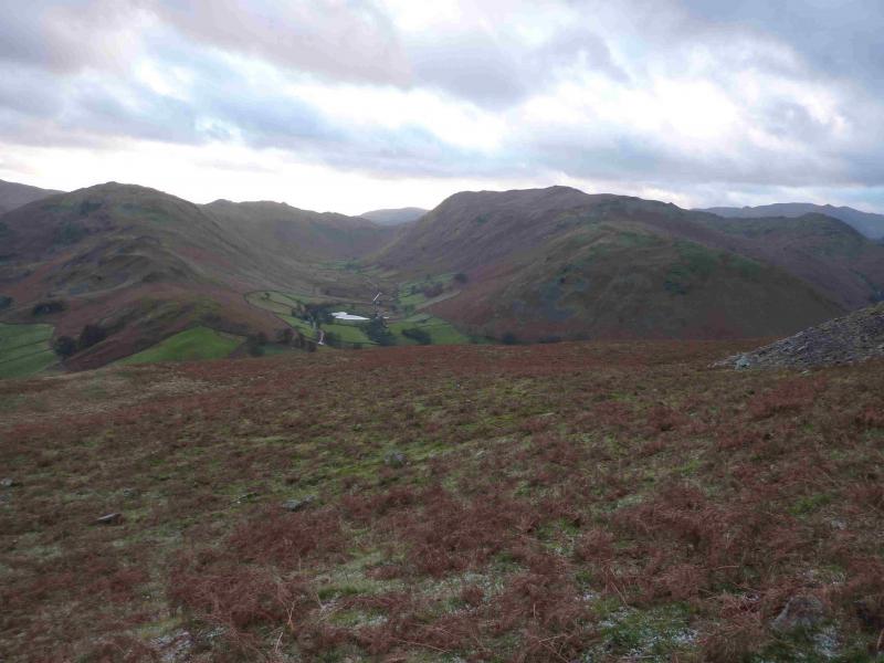
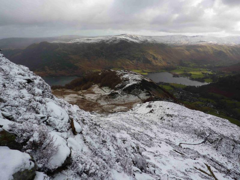
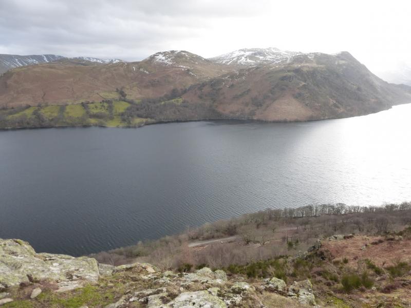
This is a lovely walk which makes a reasonable circuit of Place Fell. There are good and very distinctive paths most of the way. On a clear day, the views are excellent especially to nearby fells such as the Angletarn Pikes, Rest Dodd, The Nab and the High Street range. Across the Kirkstone Pass road, one can usually enjoy excellent views of Hartsop Above How, Red Screes, Dove Crag, Hart Crag, Fairfield, St. Sunday Crag, Dollywaggon Pike, Nethermost Pike, Helvellyn, Catstye Cam and many more. The length of this walk is ideal for a short winter's day but may only be for the experienced if winter conditions prevail. This walk can also be started at Patterdale or Bridgend on the A 592 – see notes below.
Route
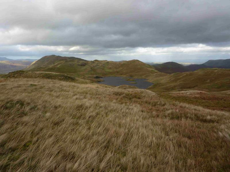
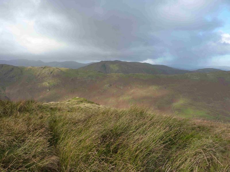
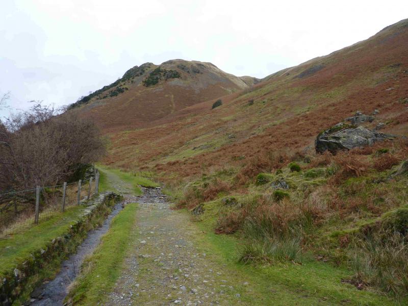
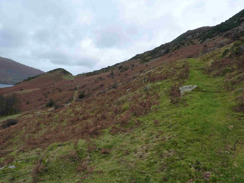
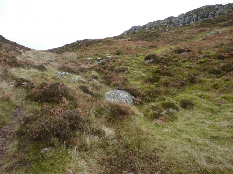
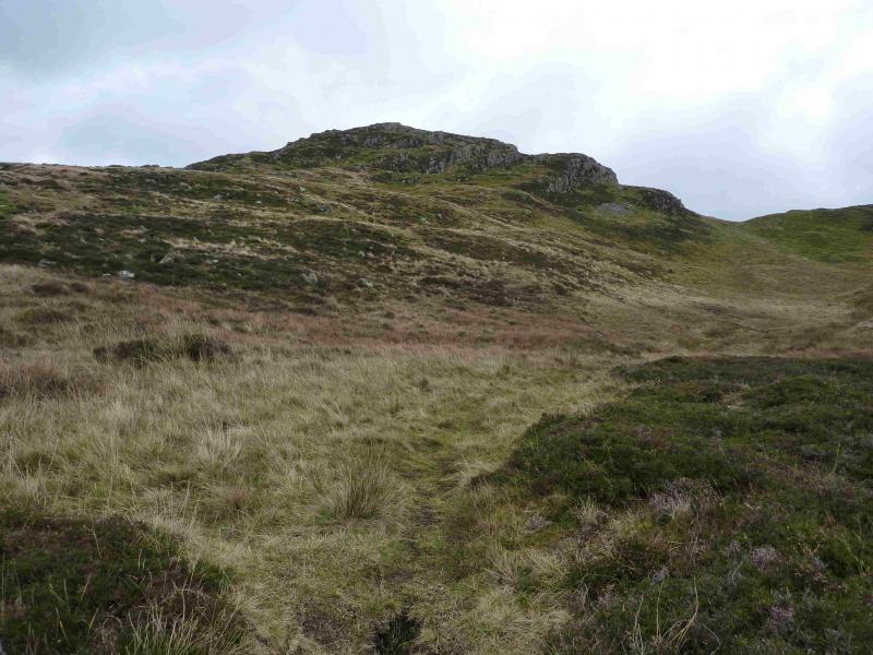
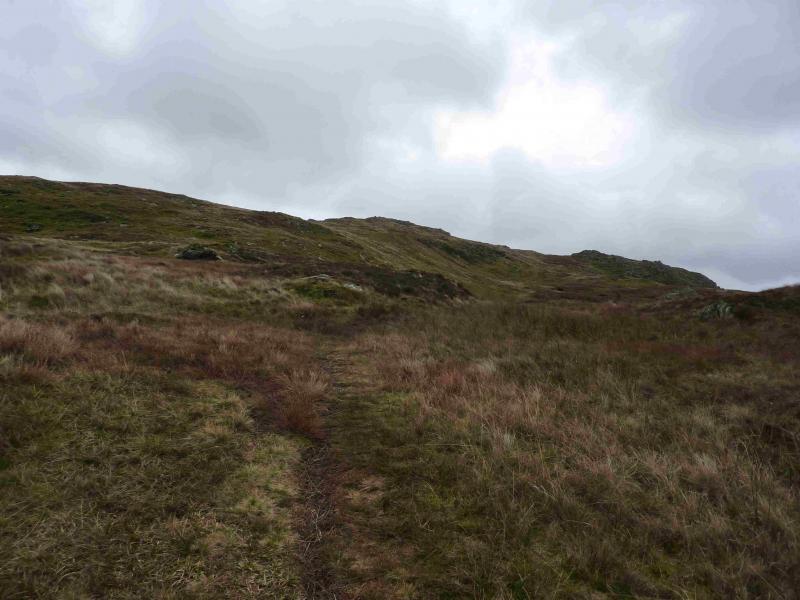
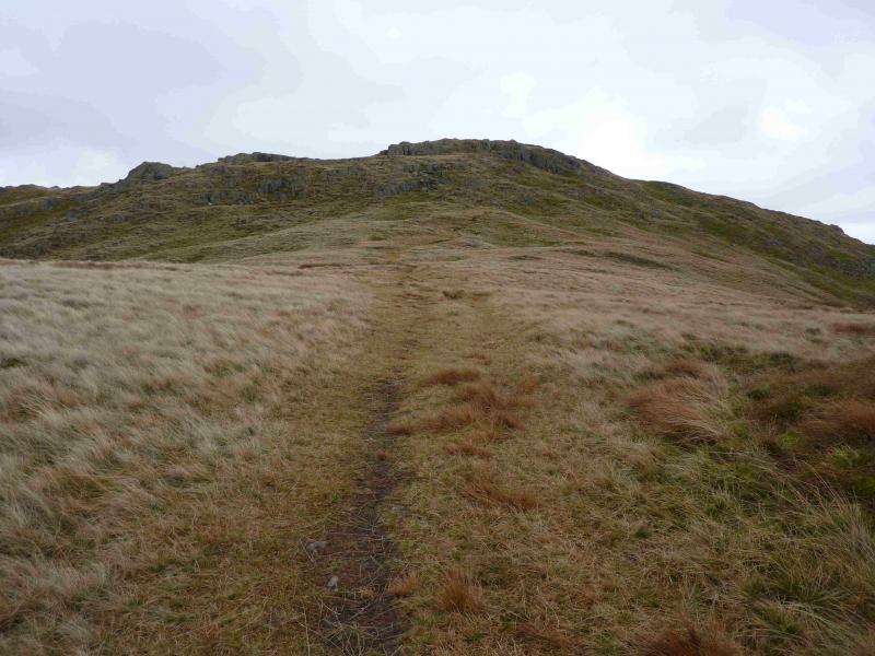
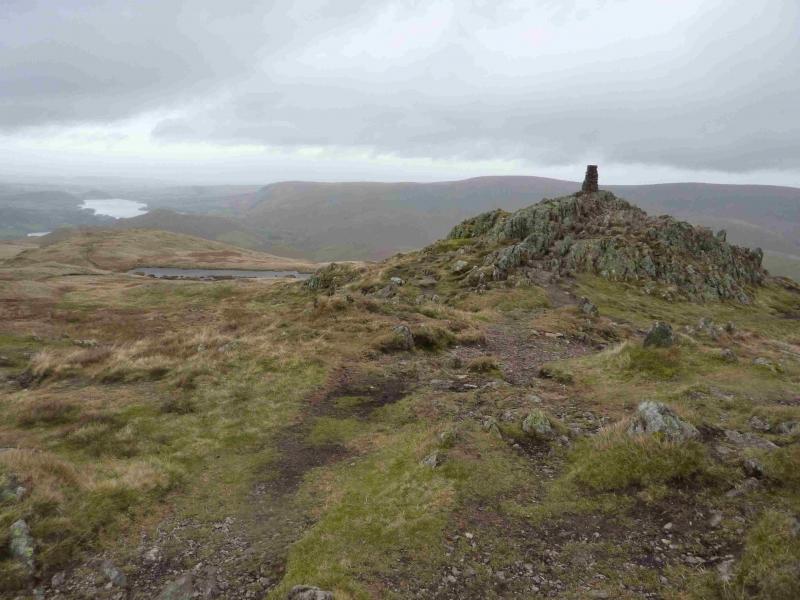
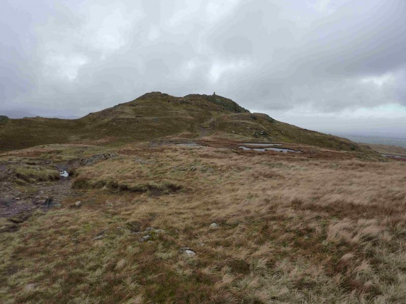
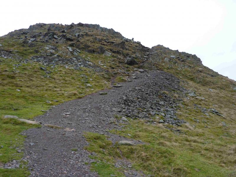
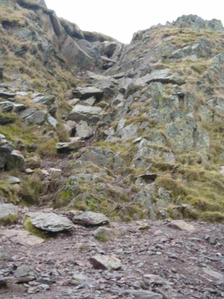
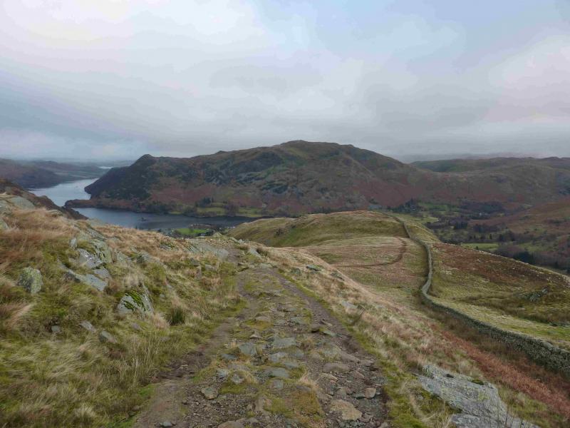
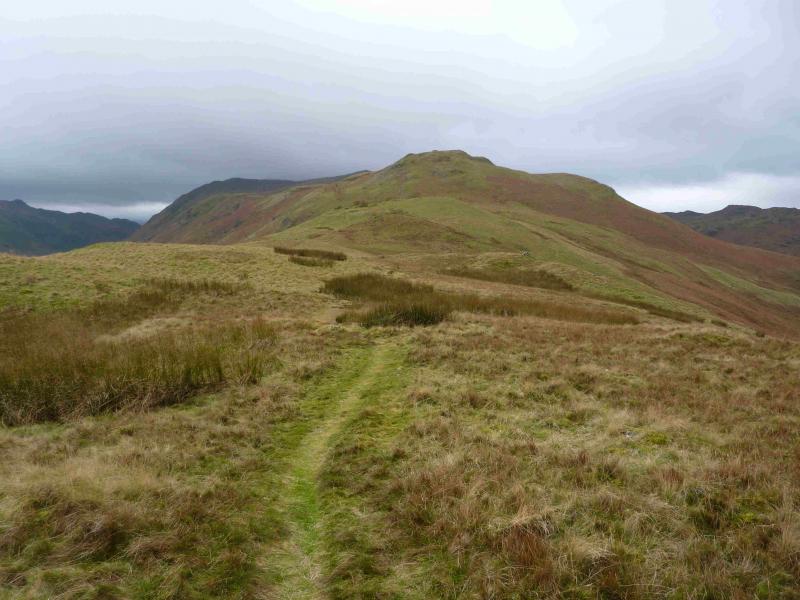
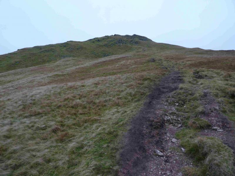
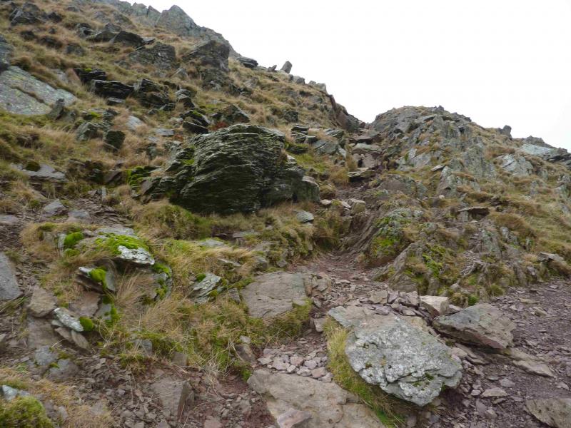
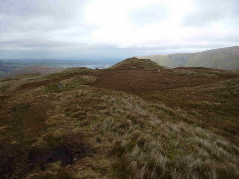
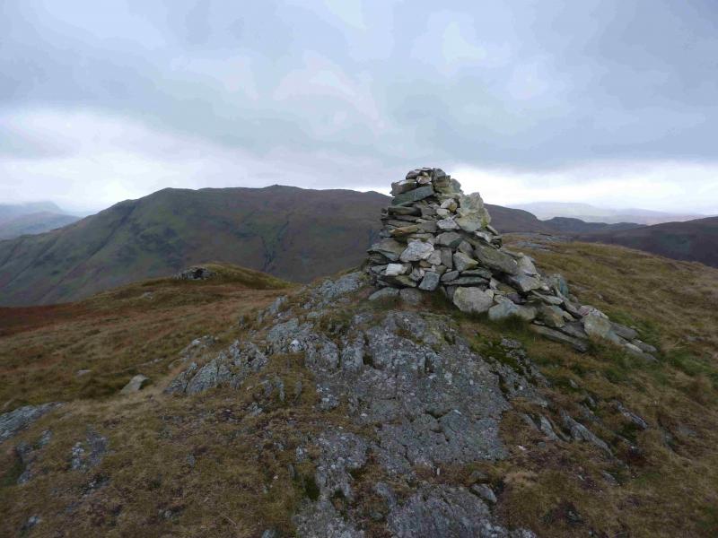
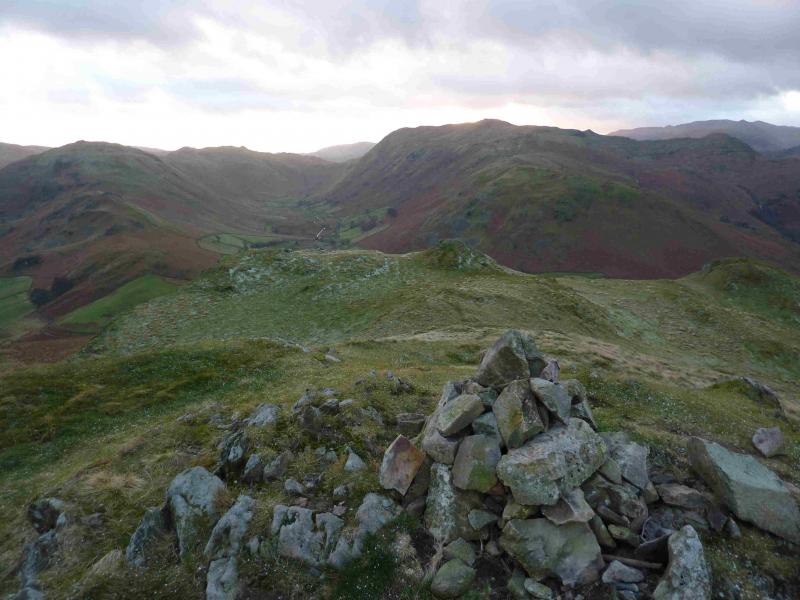
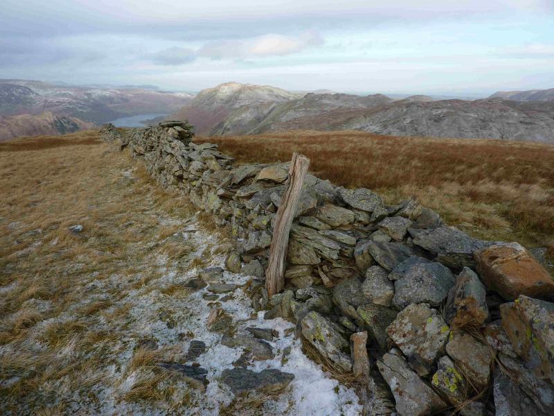
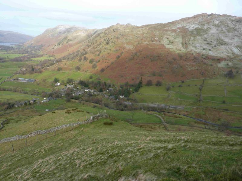
(1) From the NW corner of Brothers Water car park, walk SE towards Kirkstone Pass. At the stone bus shelter, take the minor road for Hartsop village but turn left on to a more minor road after the first building. Follow this (is a path in places), for about 4 km, past Hartsop Fold, Beckstones, Crookabeck, and Rooking until about opposite Glenridding steamer pier and a small island. When the path suddenly becomes a grassy strip, another wider grassy strip slants upwards. Soon after this the path splits. Take the right fork which is a delightful little path which twists and turns its way, fairly steeply, up through the outcrops and avoids all difficulties. Higher up, it passes through some gorse like low conifers. Once through most of the crags, the path levels off then turns right, SSE, and ascends easy moorland like ground, sometimes boggy, to reach a distinctive outcrop upon which a traditional stone trig point marks the summit of Place Fell, 657 m. There is a cairn slightly to the W which is obviously lower.
(2) Descend SSE on a very distinctive path which goes over Round How then descends to Boredale Hause not long after an old ruined stone sheep fold. Take the path, almost due S, which leads down to the outward track just to the S of Beckstones then walk back to Hartsop and Brothers Water.
Notes
(a) This walk took place on 29th November, 2013.
(b) The author chose to observe the last total eclipse, 1999, from the summit of Place Fell.
(c) To start from Bridgend, about a mile S of Patterdale, take the path ENE to join the Hartsop route just before Beckstones. This saves about 2 km of walking. To start from Patterdale village, there are two minor roads which go E to join the Hartsop route near Rooking. On descent, take the path going WNW from Boredale Hause. Both of these alternatives save about 4 km of walking. Note that sensible parking at Bridgend or Patterdale may be difficult to locate especially at popular times of the year which is why the Brothers Water approach is recommended. Please do not park in a way which is irritating to local residents. None of these alternatives have been checked out.
Photos - Hover over photo for caption. Click on to enlarge. Click on again to reduce.