Get Lost Mountaineering
You are here: England » Lake District » 2 Far Eastern Fells
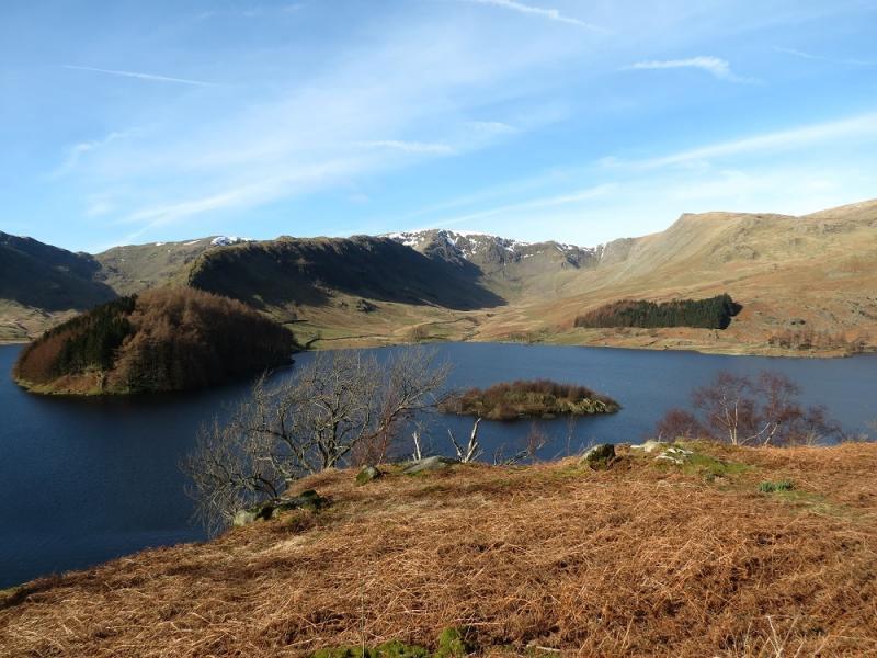
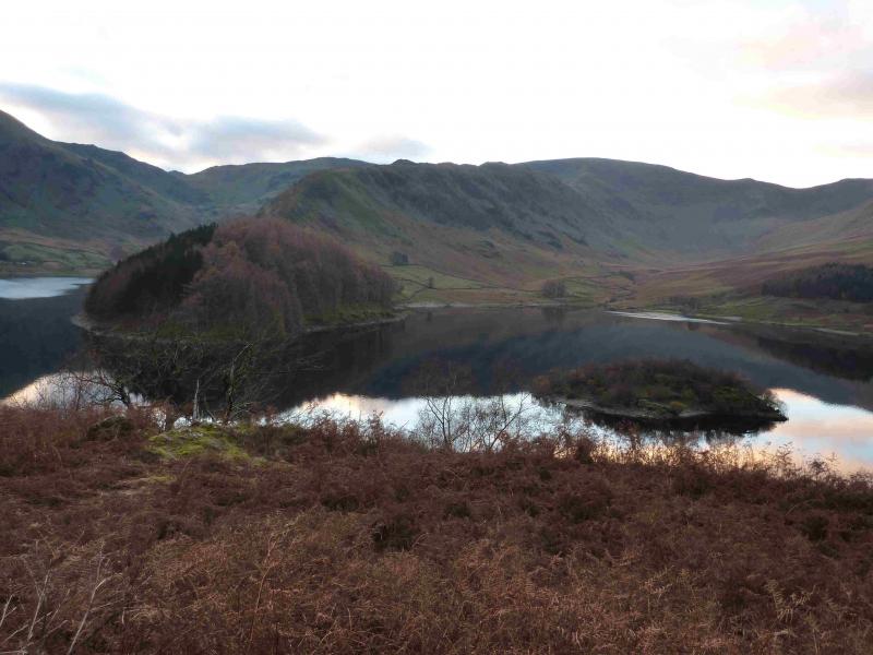
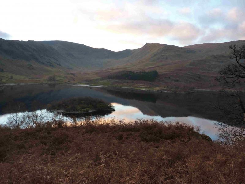
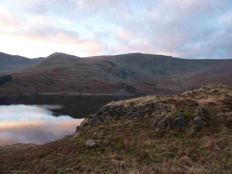
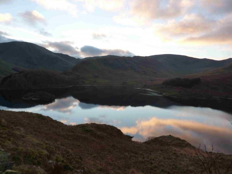
Rough Crag, High Street, Rampsgill Head, High Raise & Kidsty Pike from the head of Haweswater
Rough Crag, High Street, Rampsgill Head, High Raise & Kidsty Pike from the head of Haweswater
Start/Finish
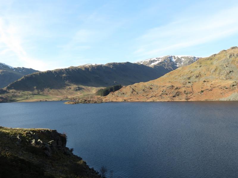
Small public car park at the head of Haweswater. On busy days, this car park will fill up early. It is quietest mid-week out of season. The road is narrow and twisting and progress will be slow. From Penrith, take the A6 south to Eamont Bridge then turn off for Yanwath (Pooley Bridge road) then turn off south for Askham and follow signs for Haweswater through Butterwick.
Distance/Time
15 km About 5 – 6 hours
Peaks
Rough Crag, 628 m, NY 454 113.
High Street, 828 m, NY 441 111.
Kidsty Pike, 780 m, NY 447 126.
High Raise, 802 m, NY 448 135.
Rampsgill Head, 792 m, NY 443 128. OS 1: 50 000, sheet 90.
OS 1: 25 000 Outdoor Leisure 5, English Lake District NE Area.
Introduction
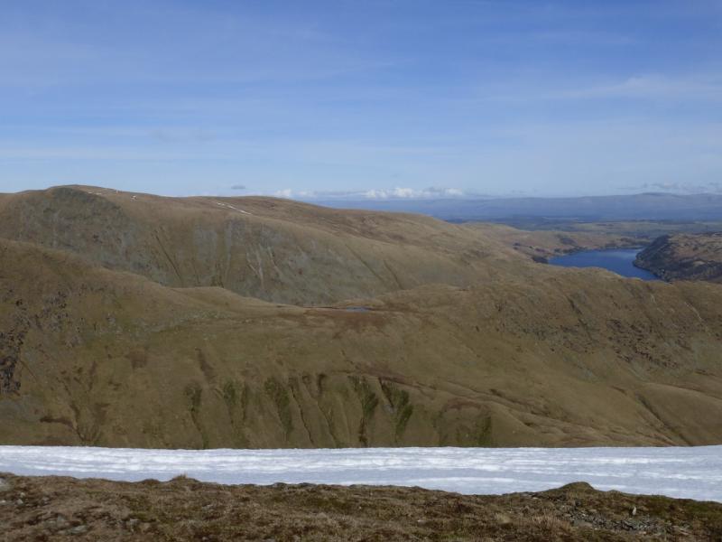
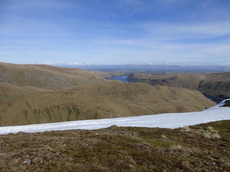
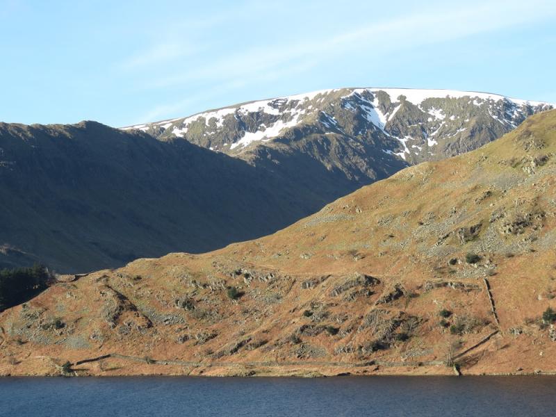
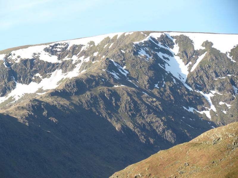
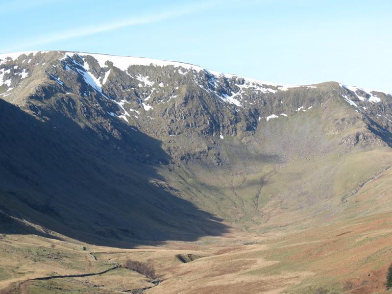
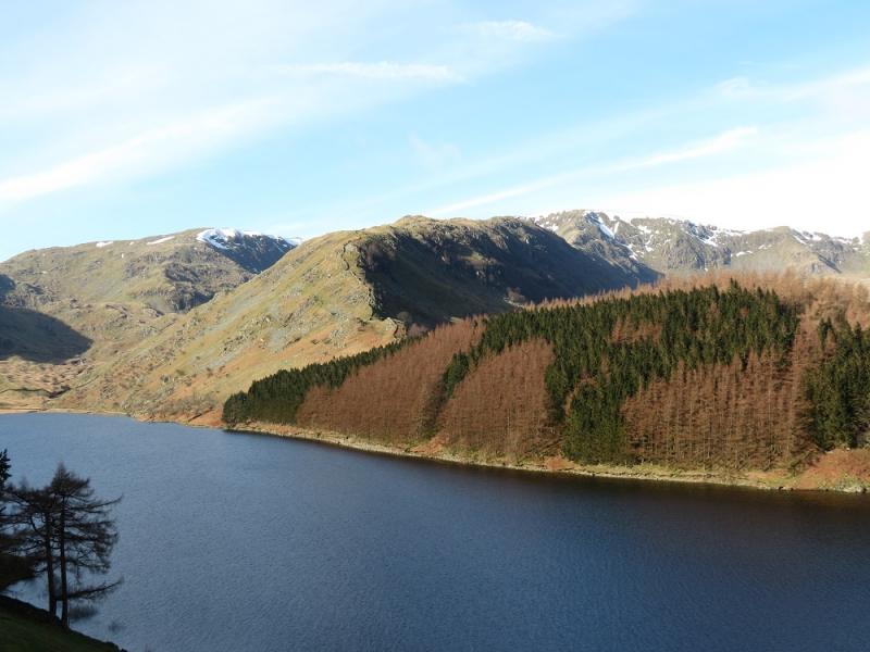
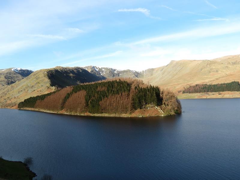
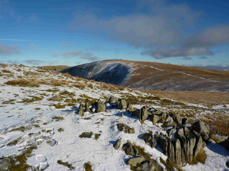
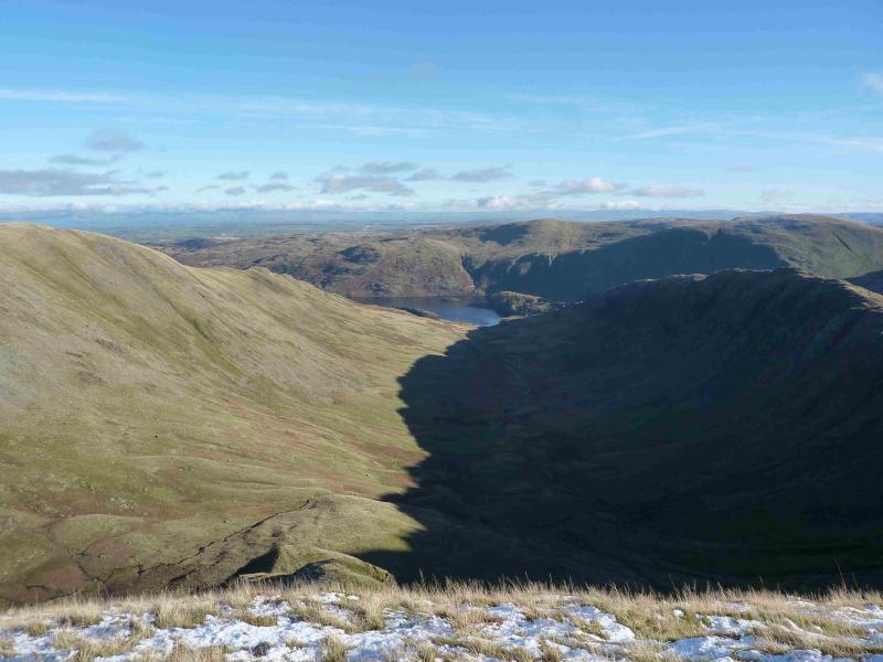
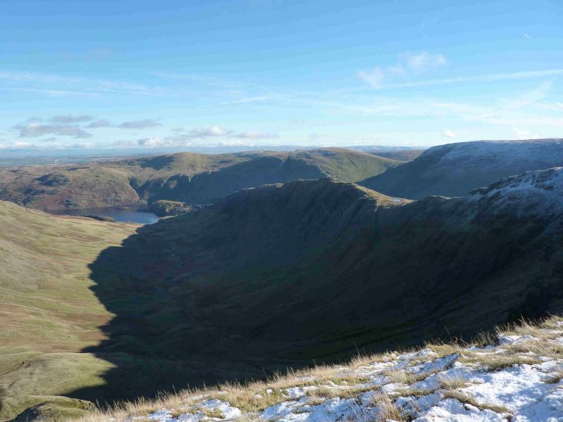
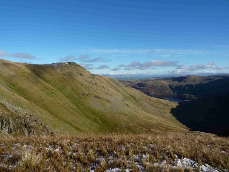
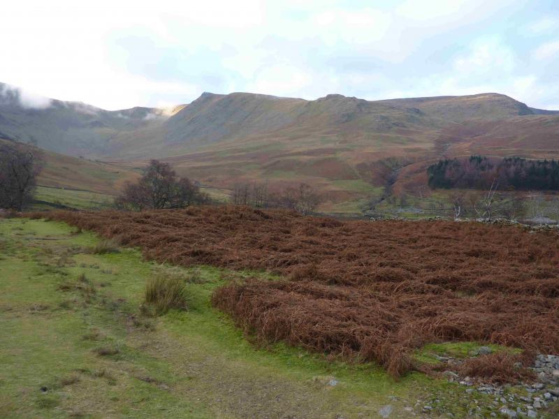
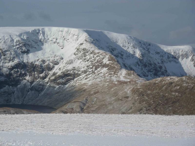
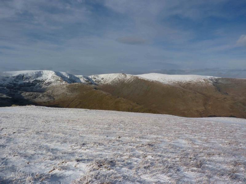
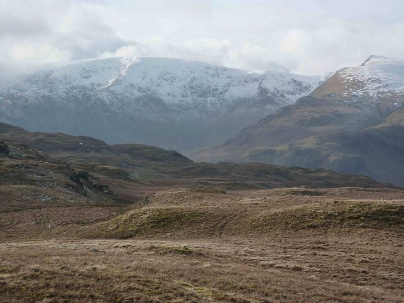
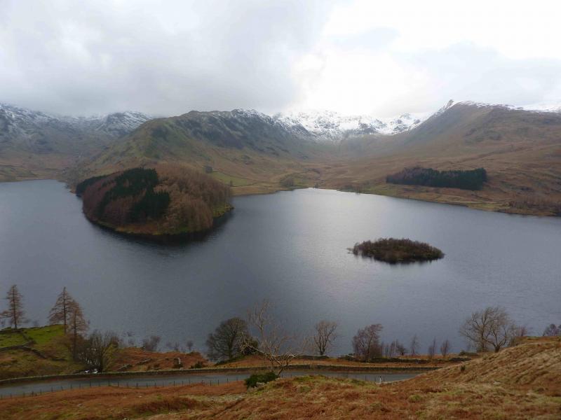
This is a lovely walk which is essentially a high level circuit of Riggindale with an extension to High Raise. There are good and very distinctive paths most of the way especially up the rocky ridges of Rough Crag and Long Stile. On a clear day, the views are excellent especially to nearby fells such as Harter Fell, Branstree and Mardale Ill Bell and most of the Helvellyn range will also be visible. The length of this walk is ideal for a short winter's day but it is not for the inexperienced if winter conditions are on the hills.
Route
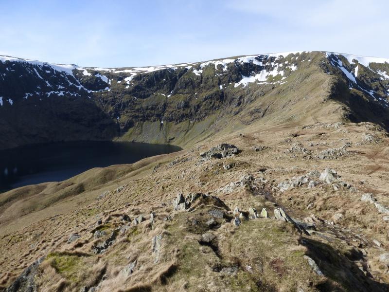
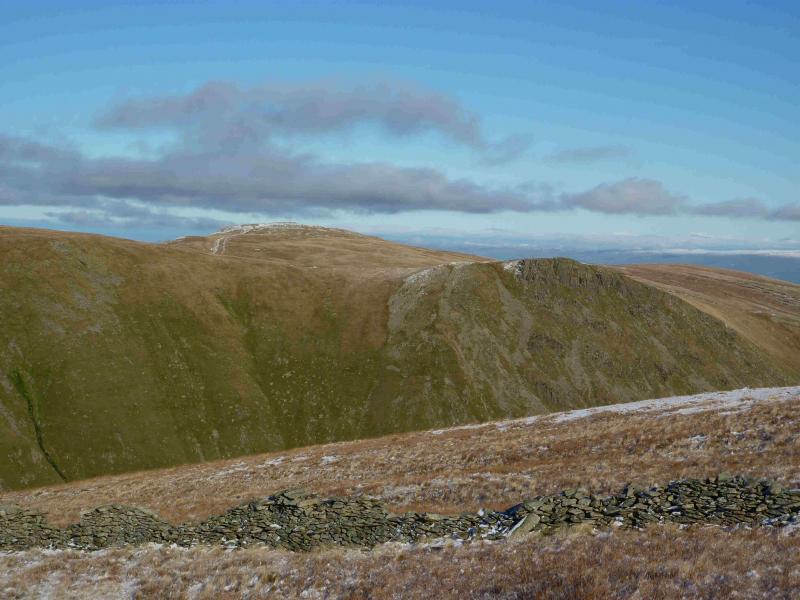
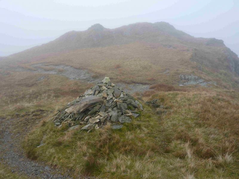
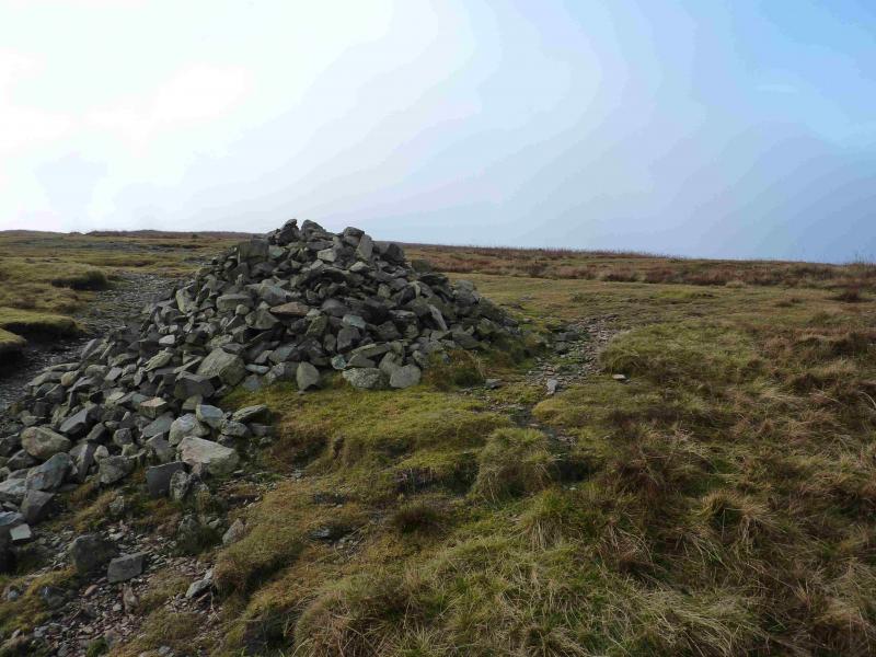
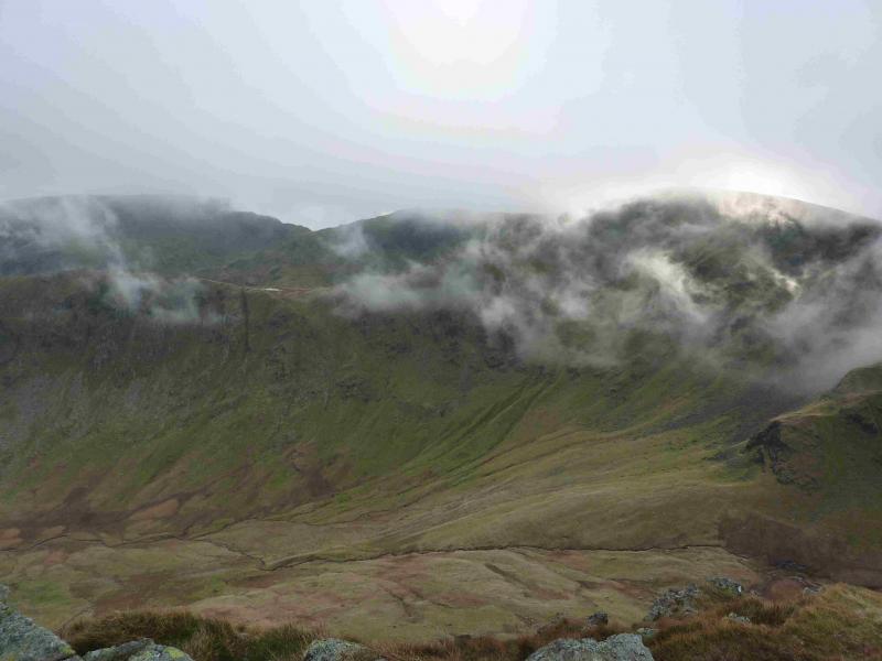
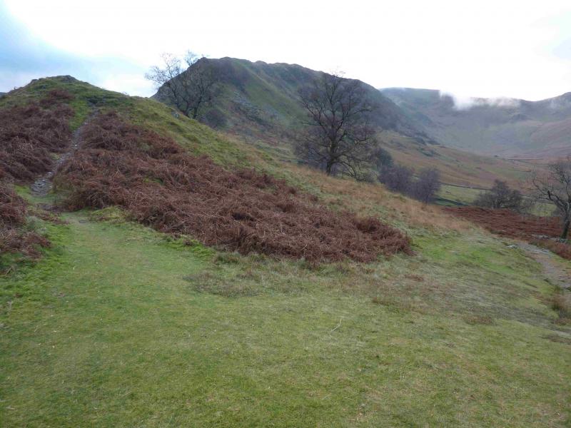
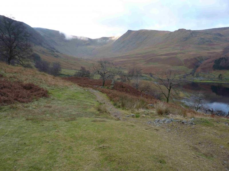
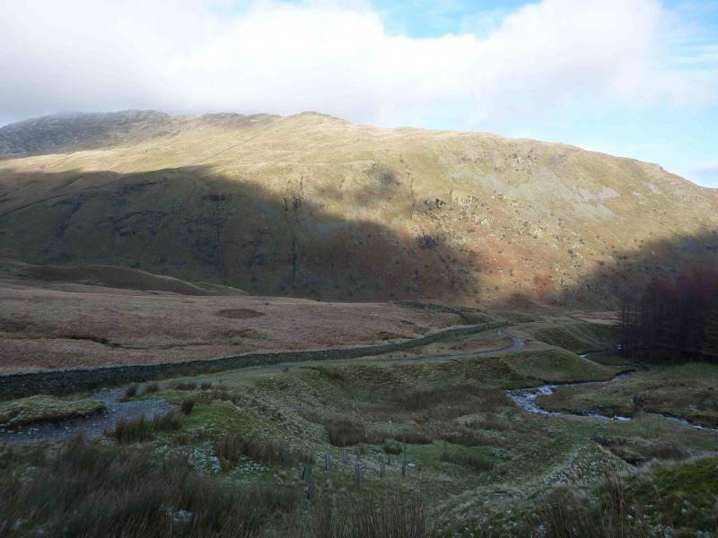
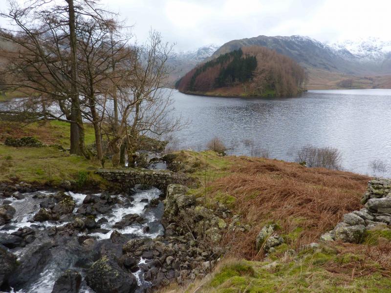
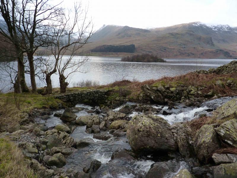
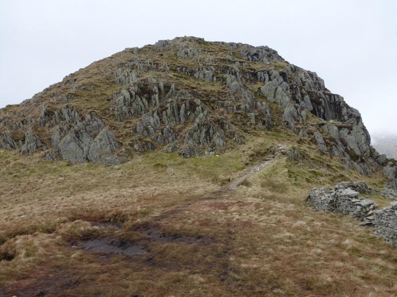
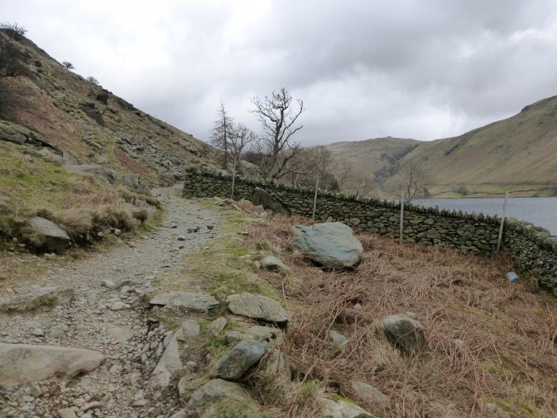
(1) From the car park, follow the path, by the wall, to the other side of the lake and walk along the path by the wall above the shoreline. Continue to The Rigg (wooded area) and reach the point where the path goes through a large gap in the wall. Just after here, a path goes off left towards the Rough Crag ridge. (There is a path before this which slants up and cuts off the bottom of the ridge but this is a fine ridge and deserves to have its full length walked.) The path follows a wall initially. Soon the path swings left but it is possible to continue by the wall although there are a few steep sections. The path rejoins higher up. Continue on the ridge. The gradient soon eases and the walking becomes more pleasant on the well defined path. After nearly 2 km on the ridge, a medium cairn is reached which marks the summit of Rough Crag, 628 m. Note that the main path bypasses this just to the right.
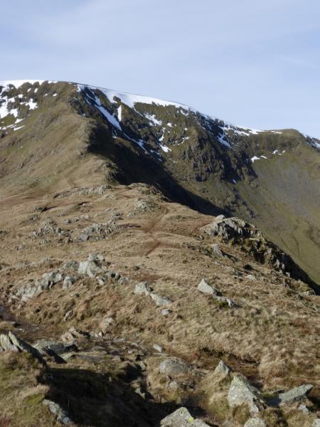
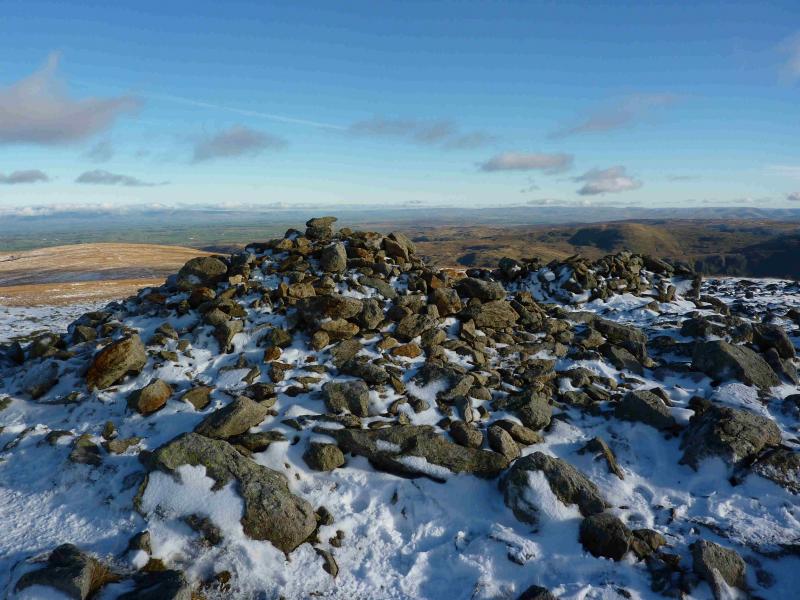
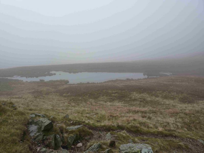
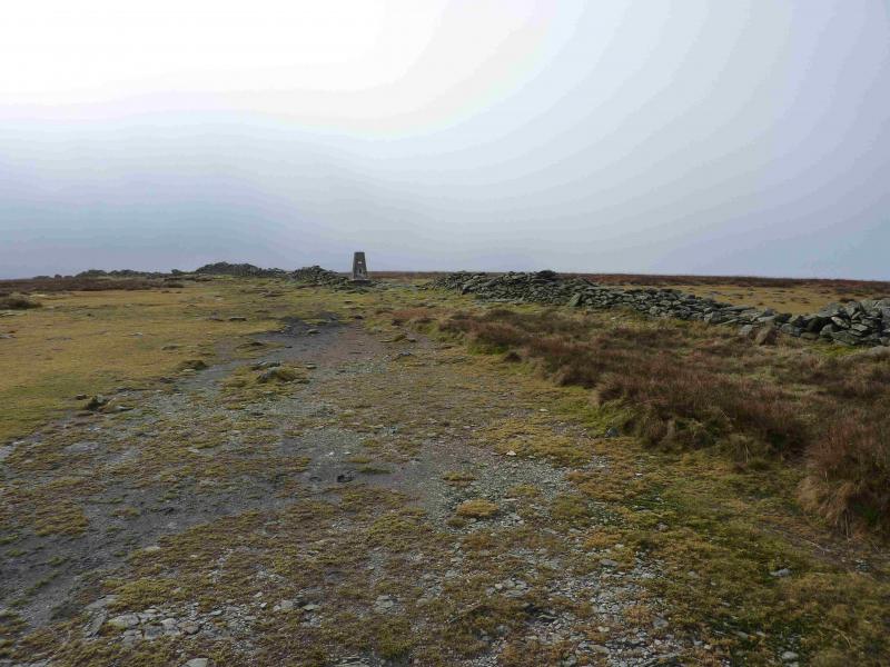
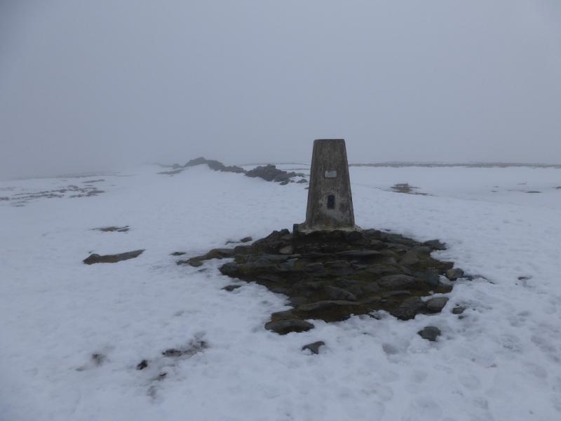
(2) Continue along the ridge, descending gently to reach a cairn in a col known as Caspel Gate where, depending on recent weather, there is sometimes a small tarn. Follow the path up the steepening Long Stile ridge which ends at a large cairn on the High Street plateau. Turn left, SSW, and follow a wide grassy strip to a smaller cairn then a wall which quickly leads to the trig point which marks the summit of High Street, 828 m, NY 441 111.
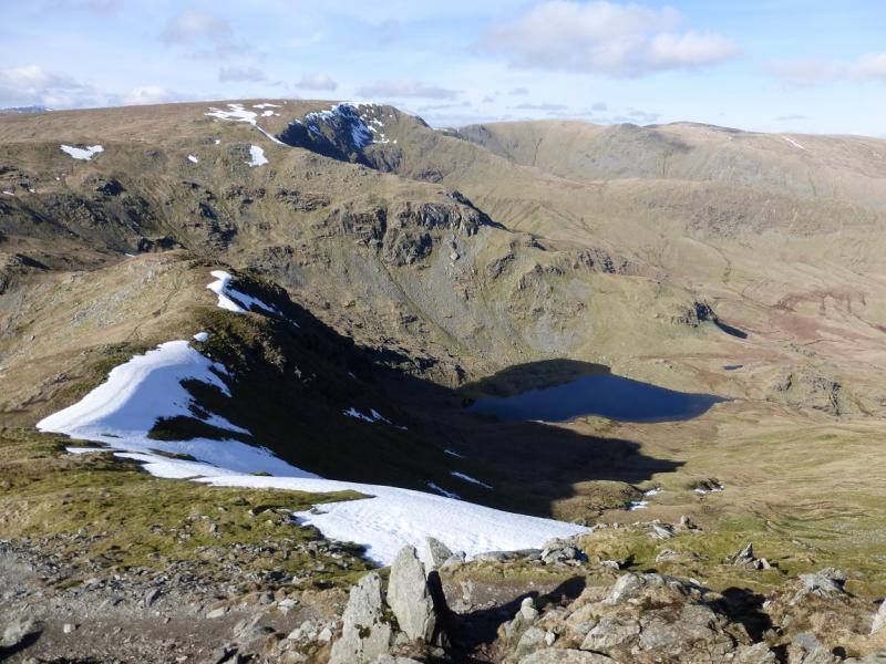
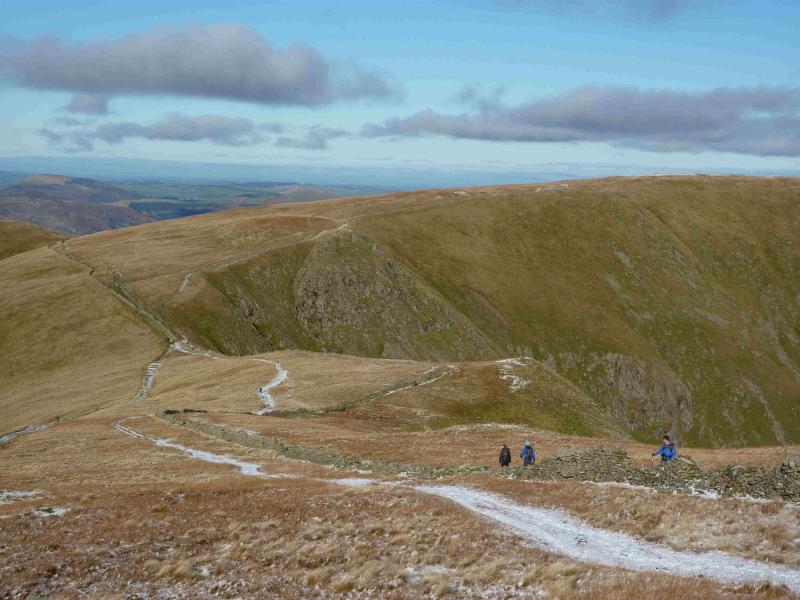
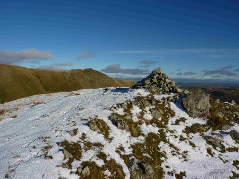
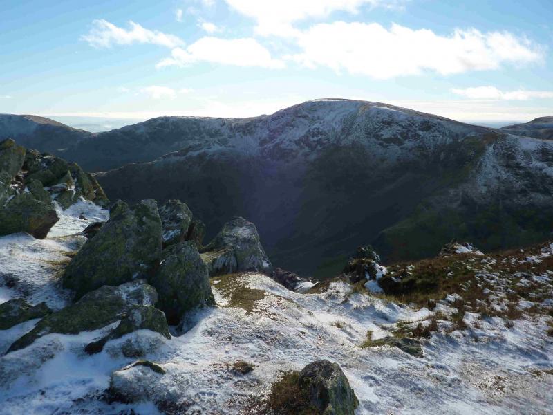
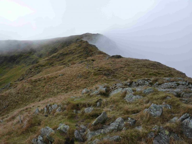
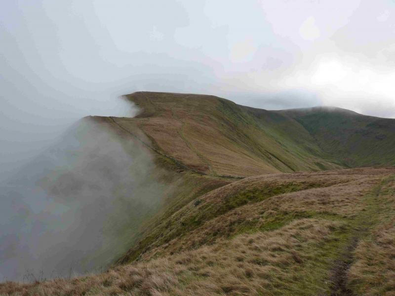
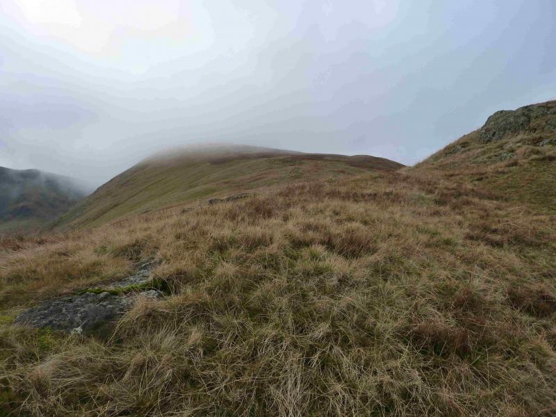
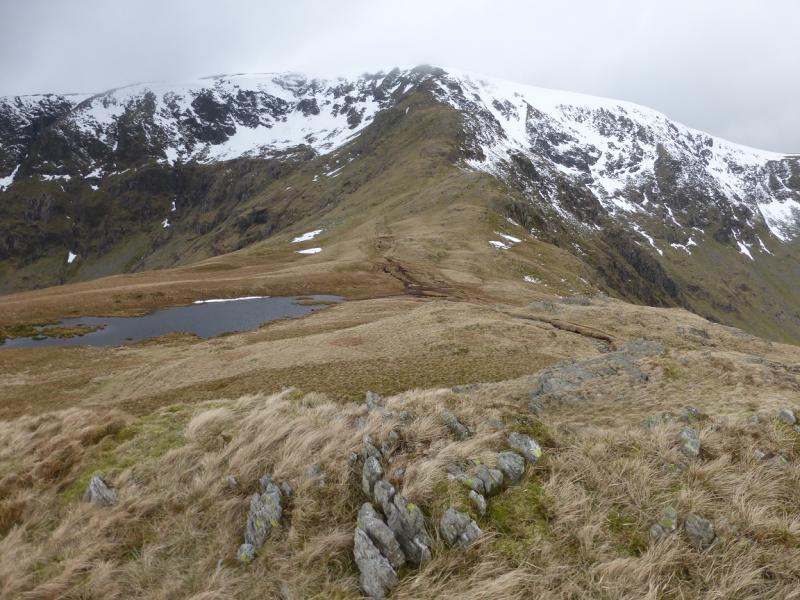
(3) Retrace back along the wall and follow the wall down towards a col. In clear weather, Rampsgill Head, High Raise and Kidsty Pike will be obvious. Before the col, there is a small cairned “bump” on the right known as Short Stile which gives good views of the crags below Kidsty Pike. Continue up from the col. When the path splits, take the right fork which traverses the S flank of Rampsgill Head. Just before the highest point go left across the plateau for about 200 m to reach the medium cairn which marks the summit of Rampsgill Head, 792 m. There is a faint grassy path if you leave the main path at the right point! Alternatively, if you spot a grassy track between the two main paths, this passes very close to the summit.
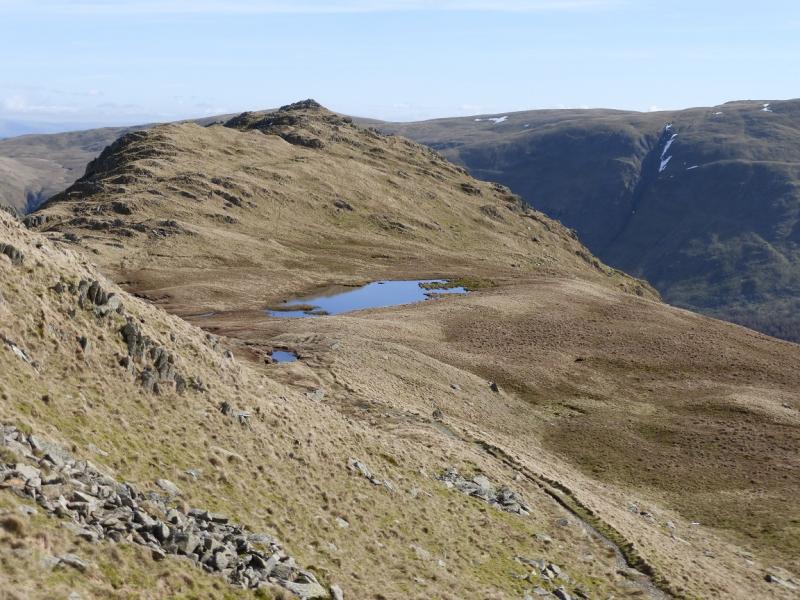
(4) Descend roughly NE, initially on a faint path which soon improves and leads down to a broad grassy col before ascending to a medium cairn which marks the summit of High Raise, 802 m. In mist, note that the summit lies just to the E of the path.
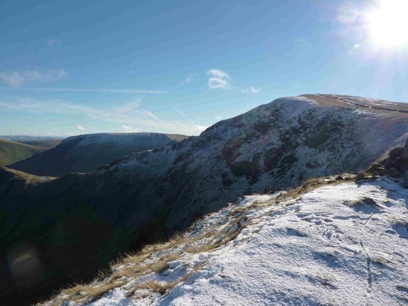
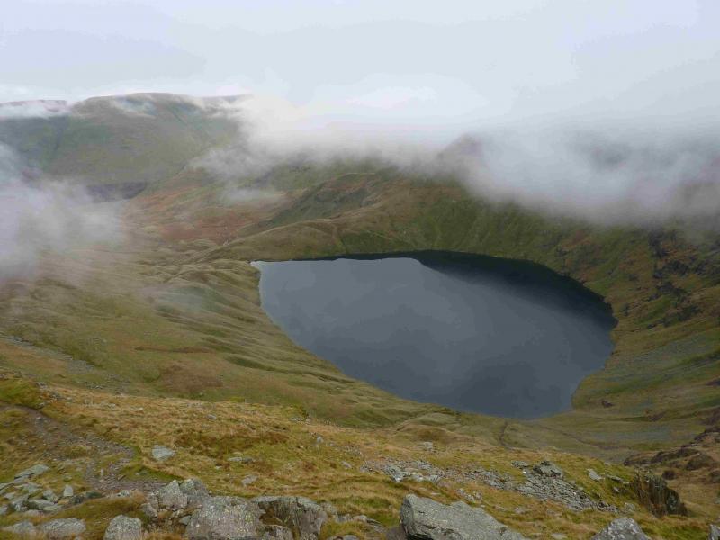
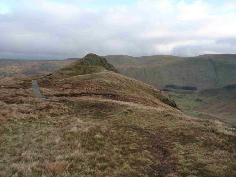
(5) Retrace to the grassy col then take the path going SE which leads gently up to the small cairn, perched on the edge of the crags, which marks the summit of Kidsty Pike, 780 m.
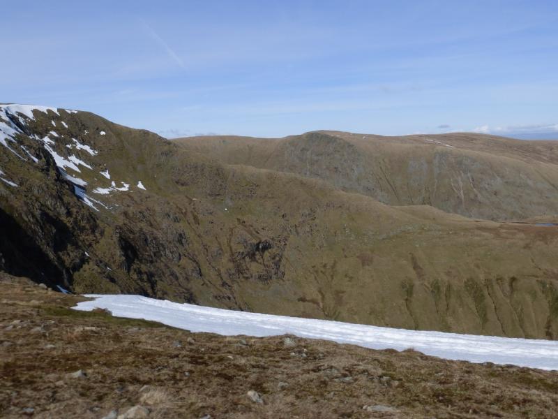
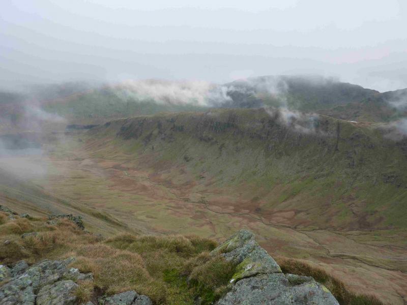
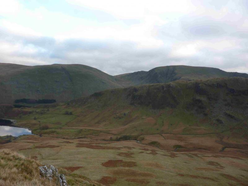
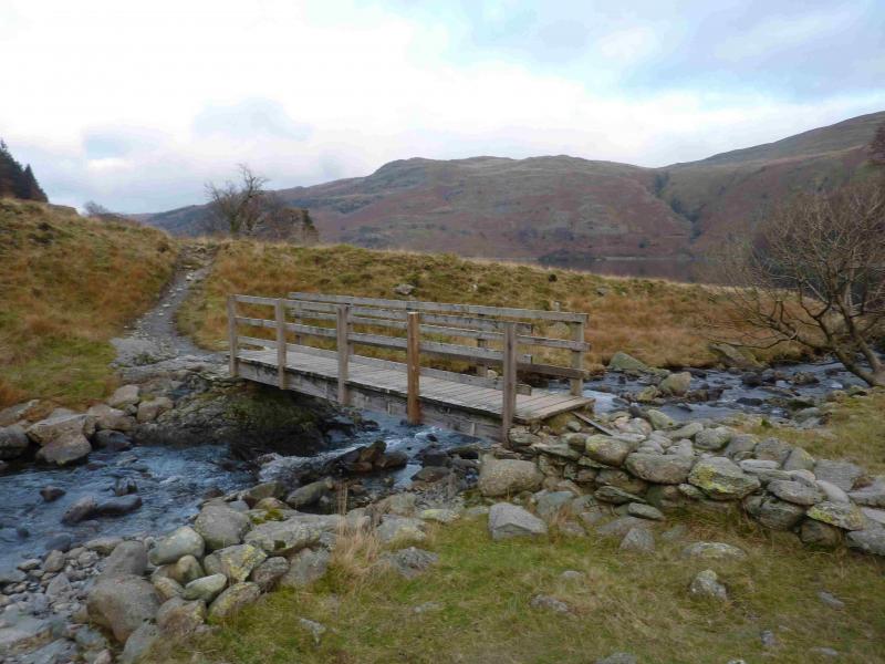
(6) Descend down the obvious path on the E ridge of Kidsty Pike. In places, this goes through rocky ground especially around Kidsty Howes but there are no real difficulties. Alternative grassy paths are sometimes available. At Kidsty Howes, the path swings SE and descends towards the foot of Riggindale Beck. A stone hut is a good guide in clear weather. There is some boggy ground lower down so it is drier underfoot to head for the small stone bridge over Randale Beck then follow the track to the Riggindale Beck bridge. From here, follow the path back to The Rigg where the outward route is rejoined.
Notes
(a) This walk took place on 28th November, 2013.
Photos - Hover over photo for caption. Click on to enlarge. Click on again to reduce.


.JPG)